So I’ve stopped trying.
There’s Pete.
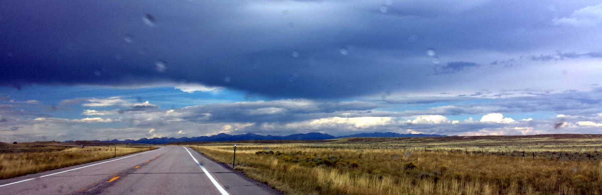
Durango, Colorado.
A hot flight full of testy people.
But there’s Pete – two years hence. Then there’s Mary….and coolness, and warmth, and familiarity, and chocolate…but not chocolate - chocolate; this is liberal Colorado after all.
And I feel like home. This they no doubt regret….
Too late guys!
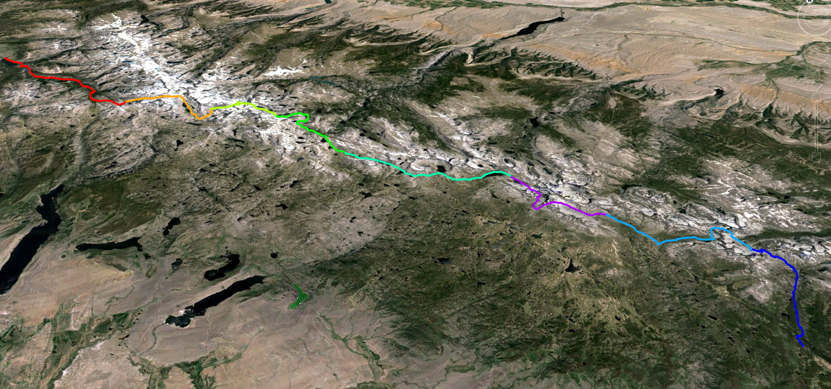
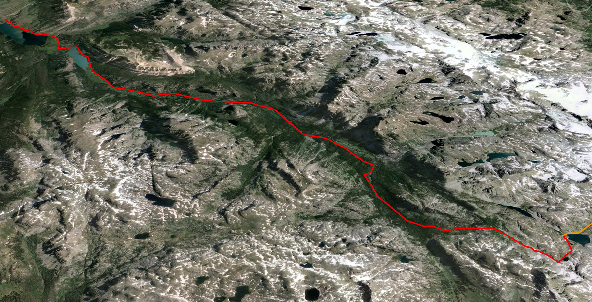
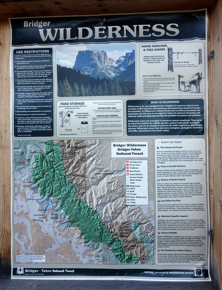
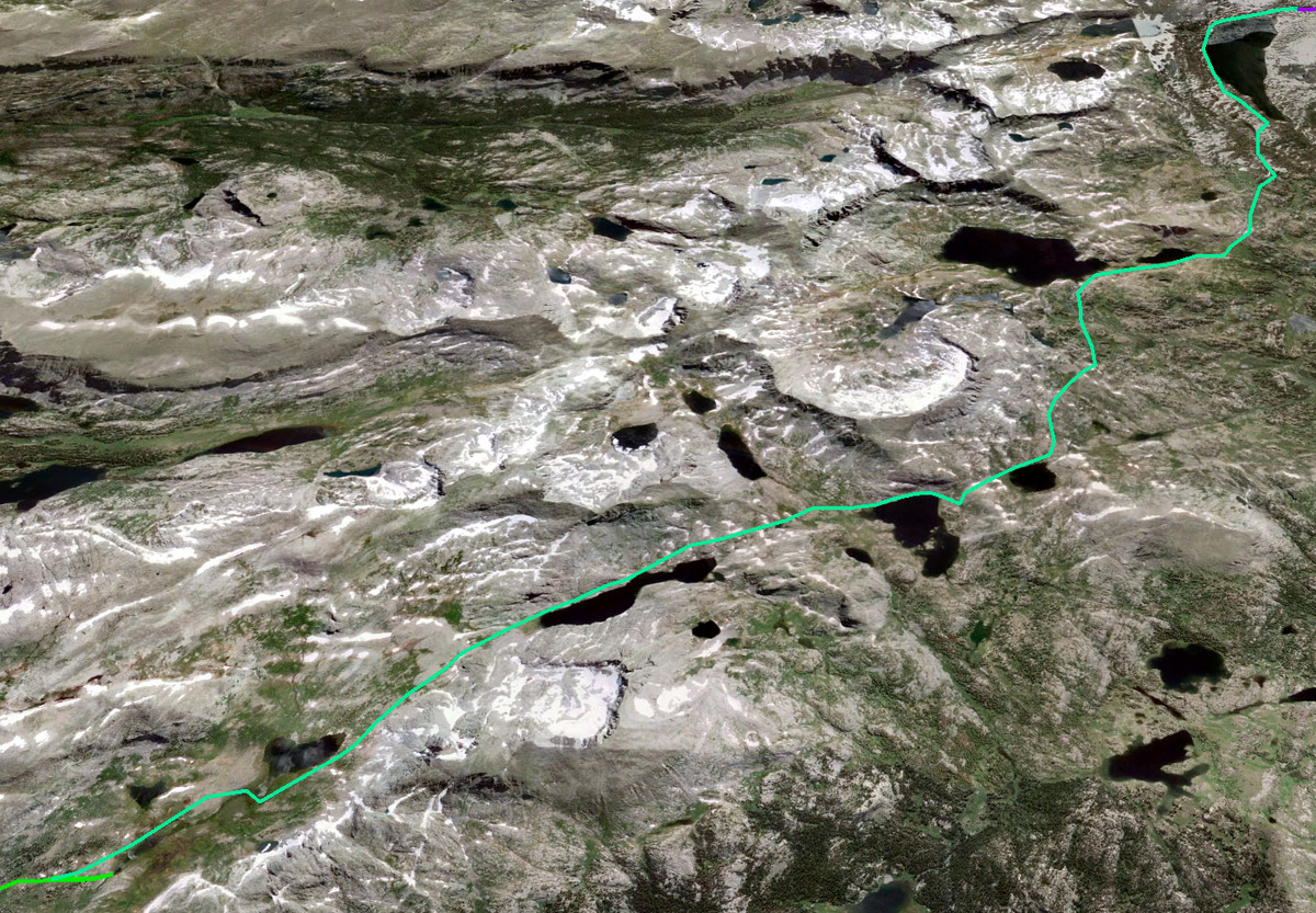
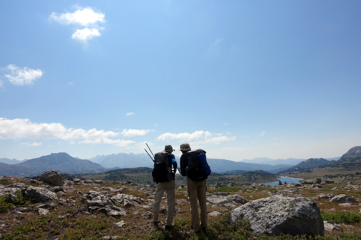
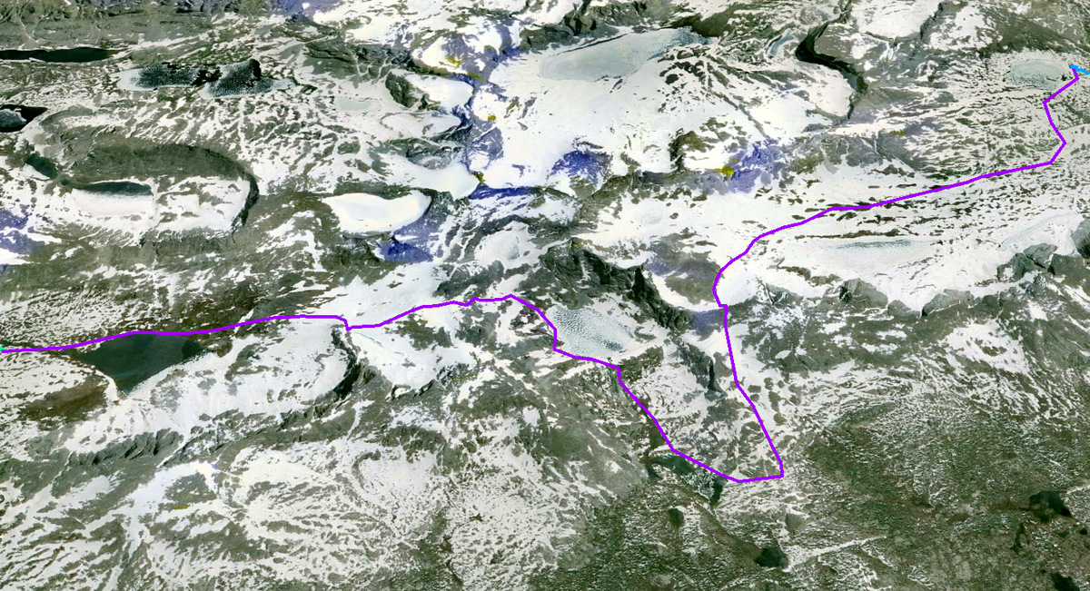
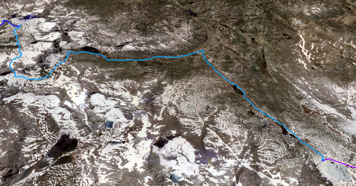
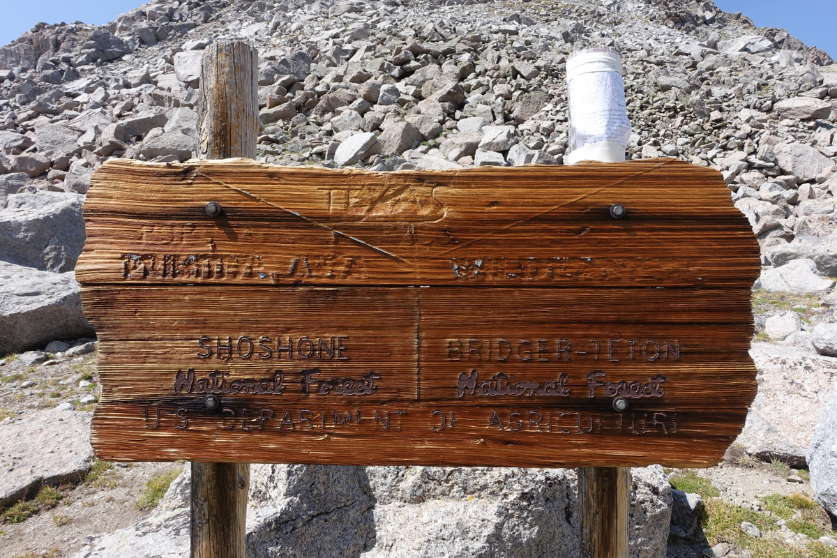
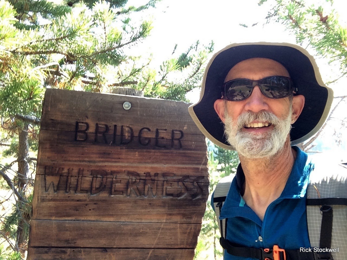
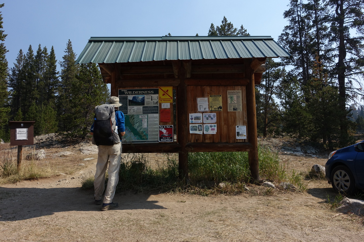
But it is not Colorado that we need to be in….it is Wyoming – in the Wind Rivers, for the Wind Rivers High Route.
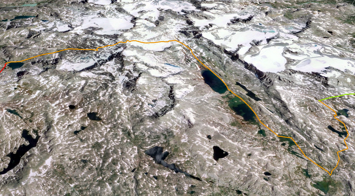
The route clings to the crest of the Continental Divide as it cuts its way 80 miles through pristine wilderness – a hard and fair chunk of that distance is off-trail. It’s a wild and very very fine route.
Perhaps the most complete online description can be found here.
http://www.adventurealan.com/WRHR/
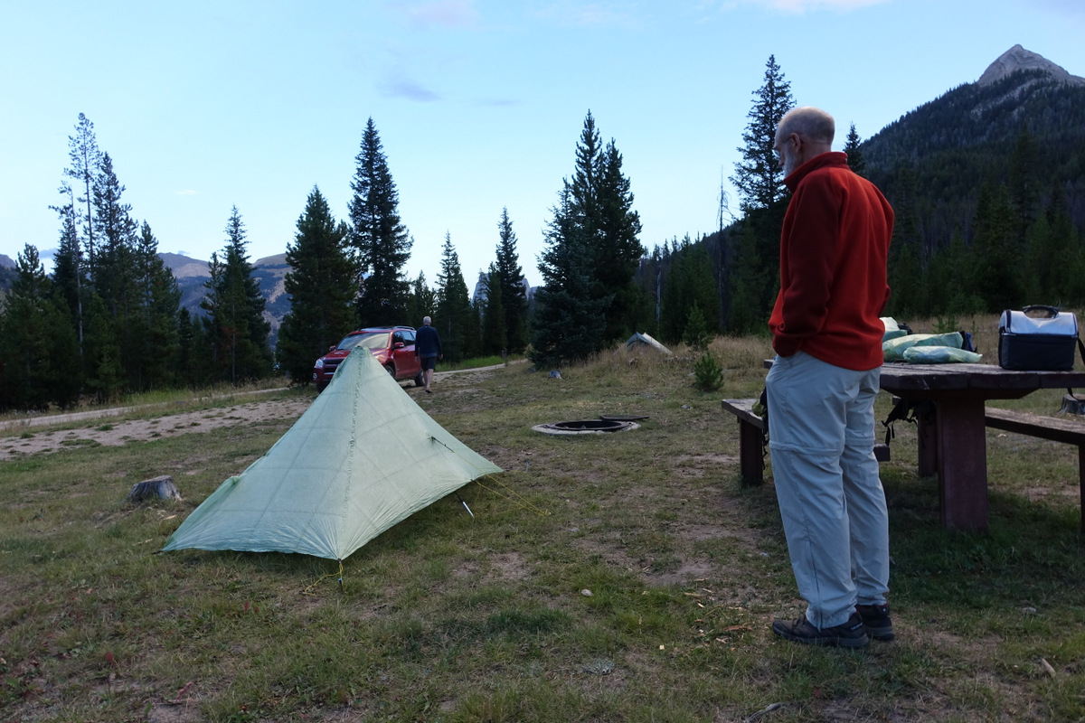
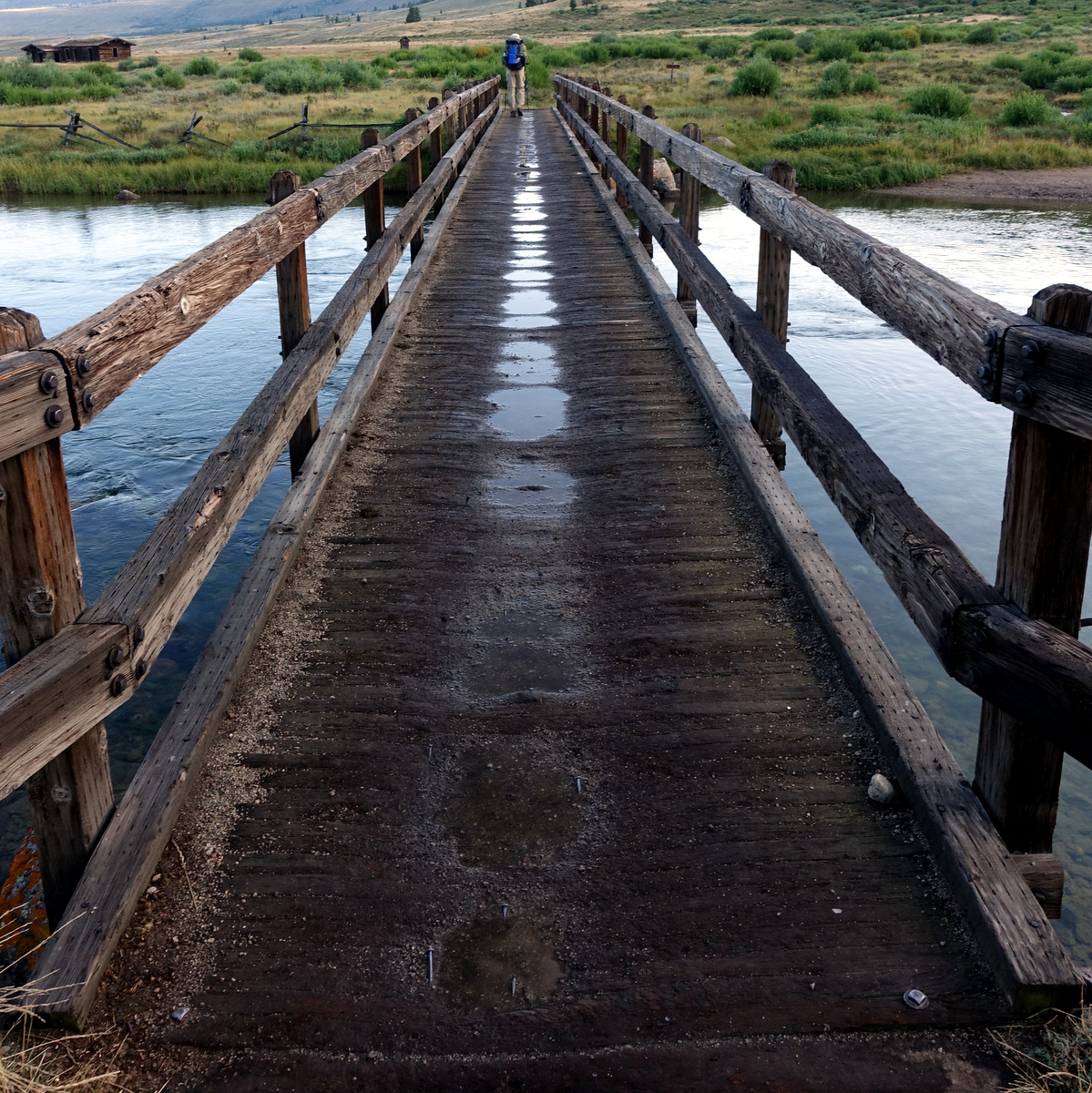
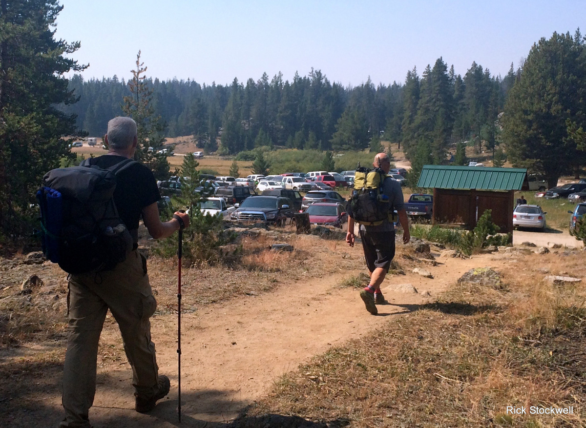
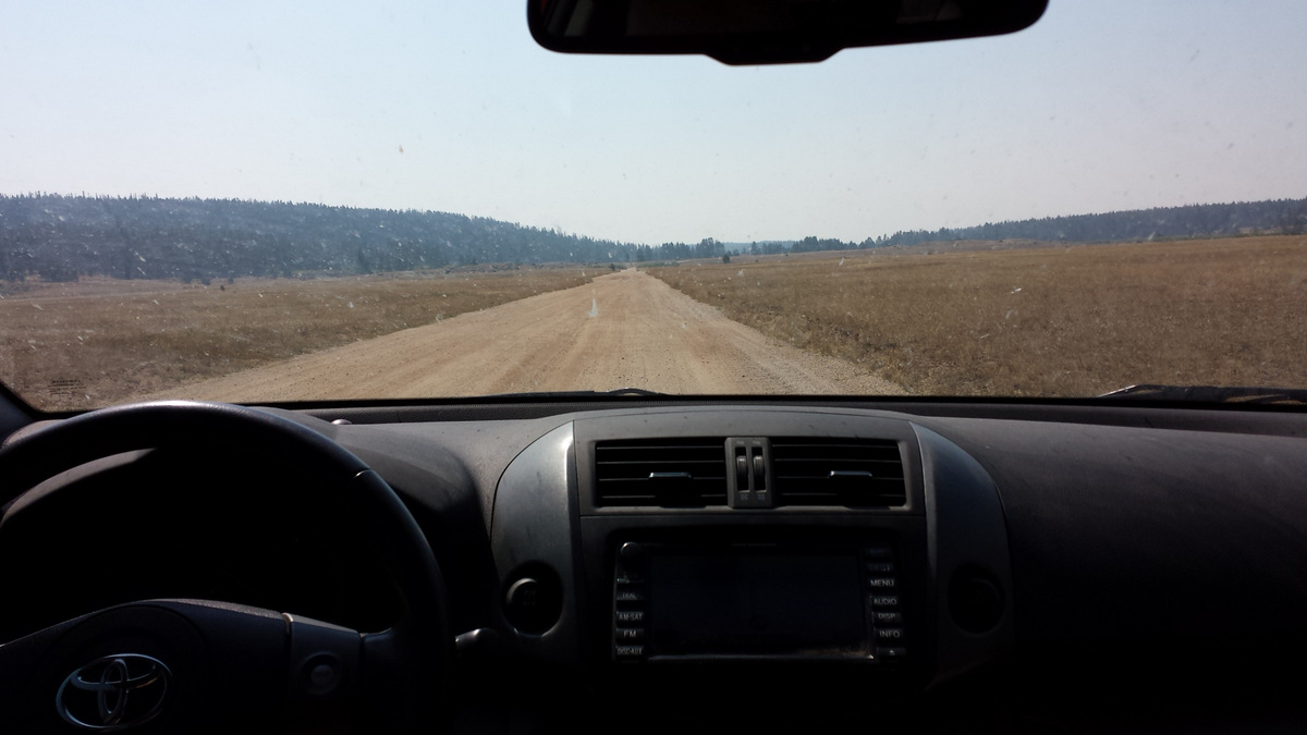
We are camped in the State park at the trailhead, our vehicle destined to be shuttled round to out finishing point. This is a good service – pans out at circa $mmm each for what is a lot of work for the shuttlers.
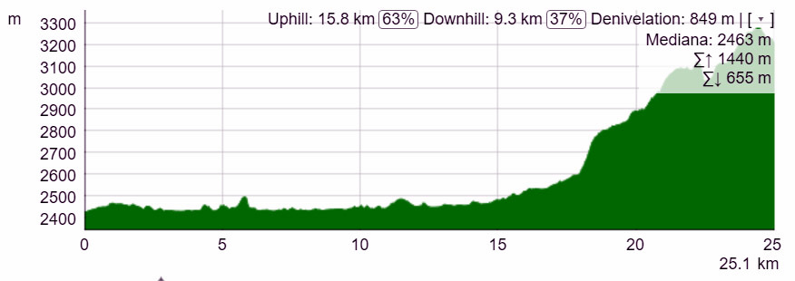
The first day – a landspeed record and a fair bit of climbing
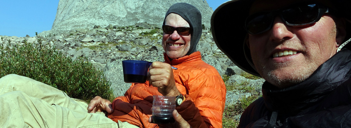
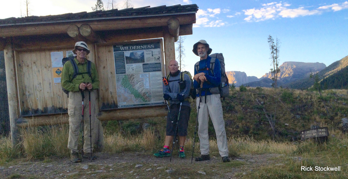
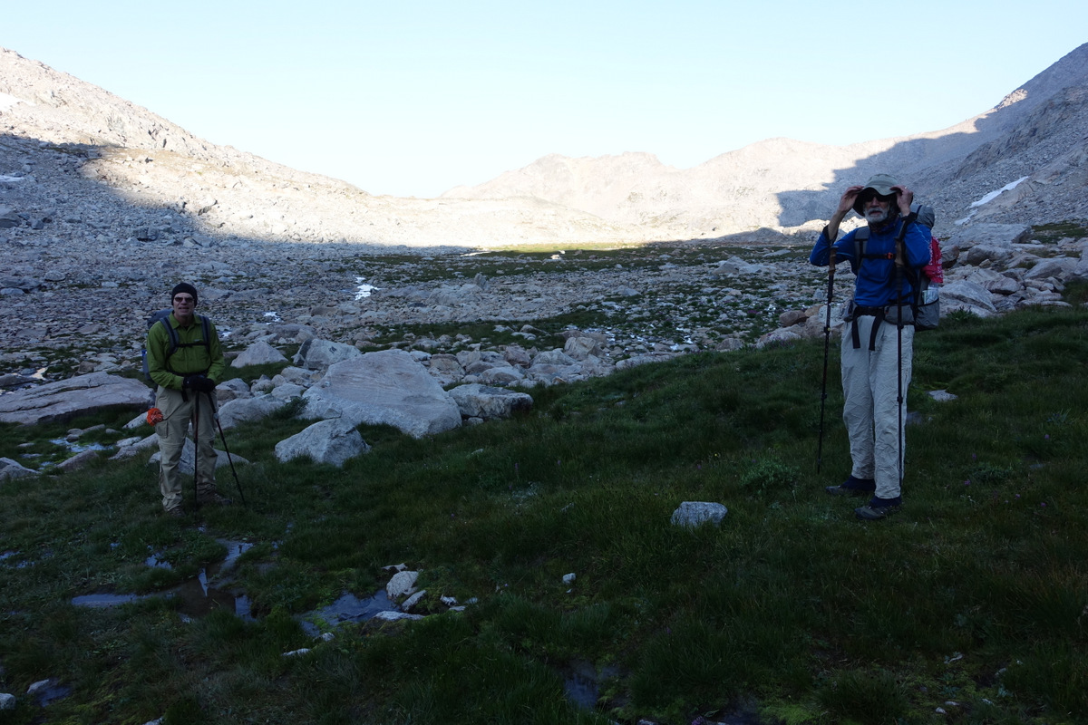
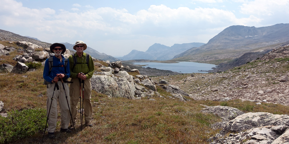
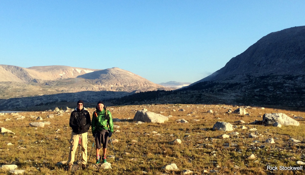
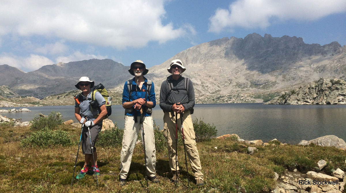
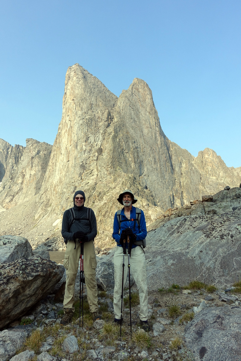
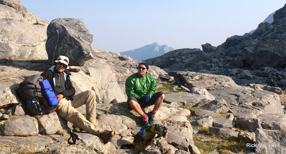
And we are off - after months of planning via e-mail…well, not really - just a bit of discussion. A chance encounter on the Colorado Trail two years ago hooked me up (I’m sooo American) with Pete and Rick; more so Pete. Rick is a bit of an unknown quantity….but fast; there could be trouble there.
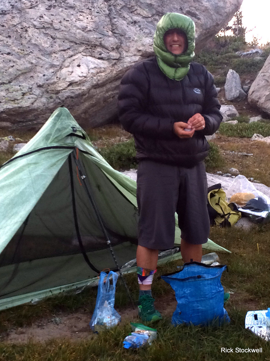
We pitched at the Green River Trailhead post a not-so-great micro-brewery repast. I was tired – the guys more so as they have just driven this lazy Redcoat 500 miles.
A spatter of overnight rain. Eat as much as you can breakfast and we are off from the trailhead.
But the boy’s don’t get it – they don’t, they are off at ‘fast day hike’ pace; oh my.
Our ‘training’ walk in Colorado a few days ago was similar – hard up to 13,400 off-trail. Brilliant route and really well thought-through by Rick….but it killed me. Why? Still don’t know. I’m thinking it was just ‘me’. After 32 days at altitude ‘kicking trail ass’ I should have been good. I wasn’t. You never know.
Brilliant route though.
Bastards.
And now they are doing it again.

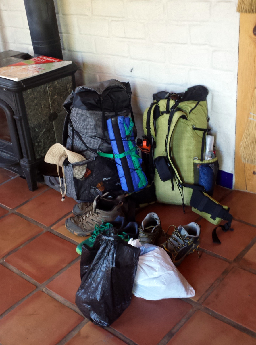
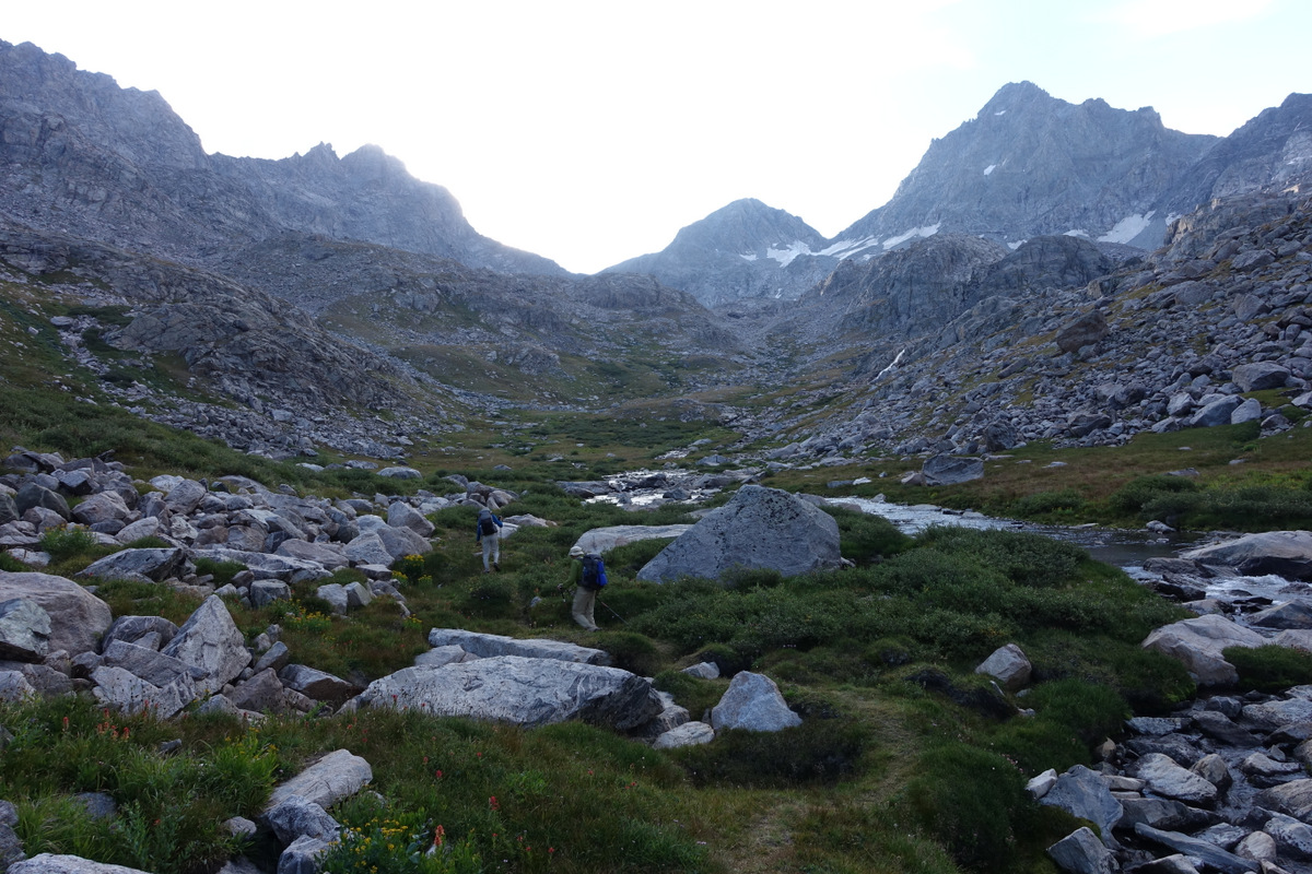
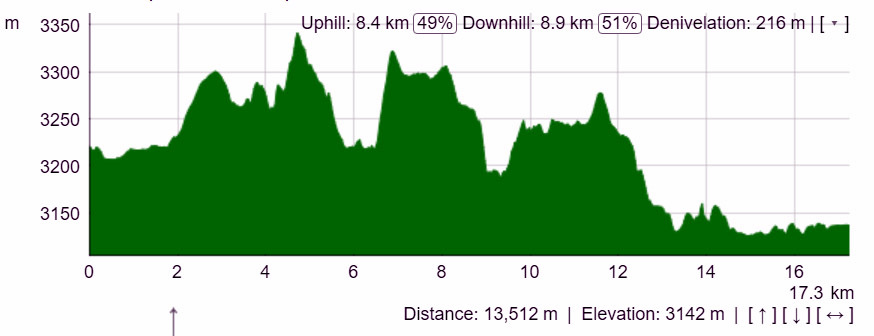
From this trailhead we have around 80 miles off on and off-trail until our exit in what we plan to be eight days later. This means eight days food. This means heavy packs. This means no excuses needed for speed.
But the boys don’t get it.
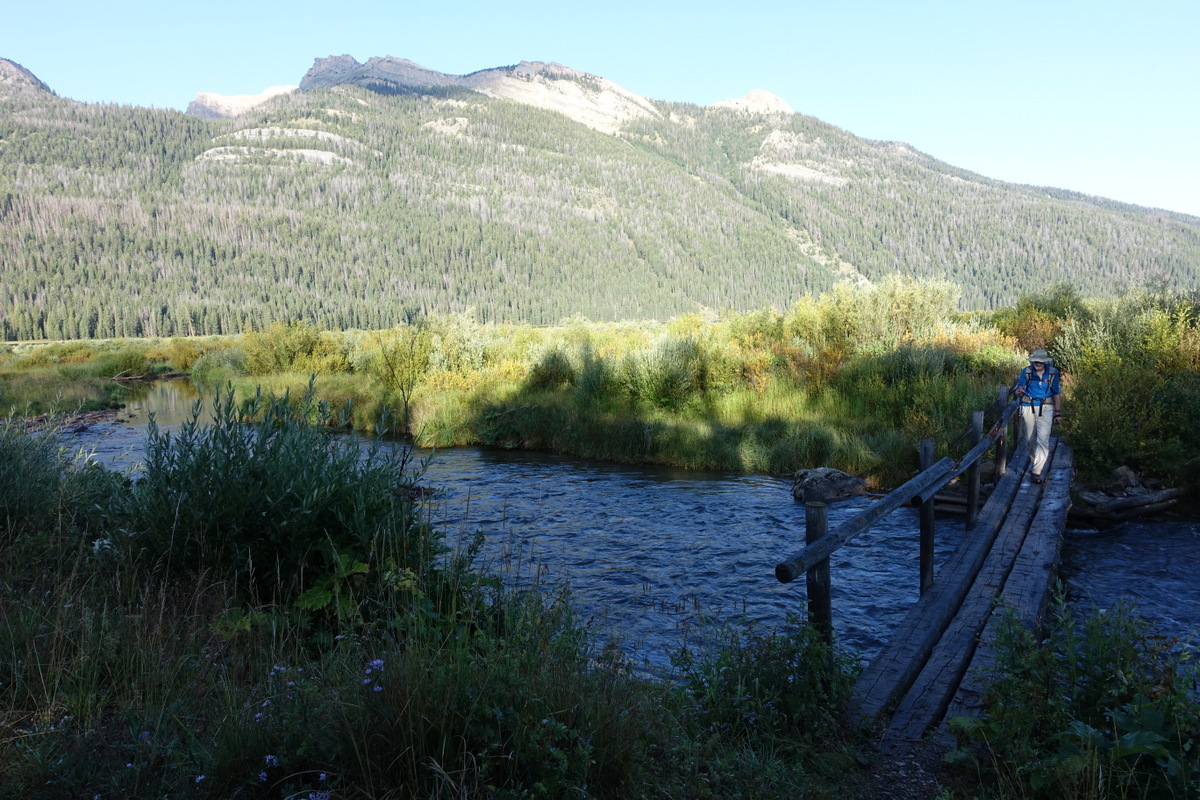
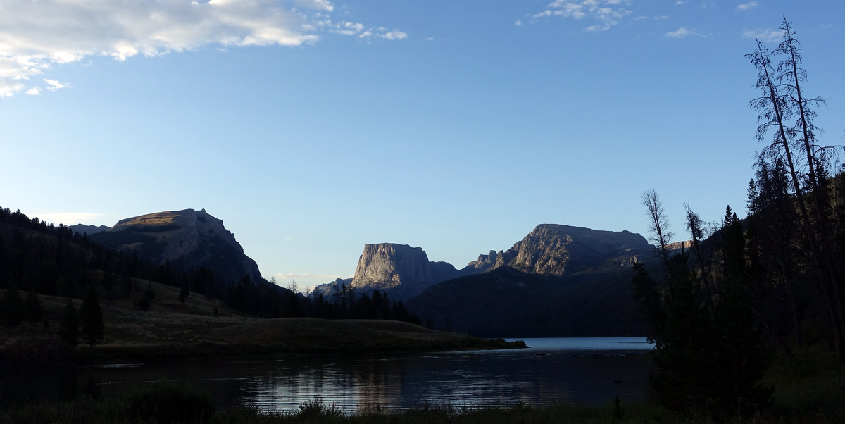
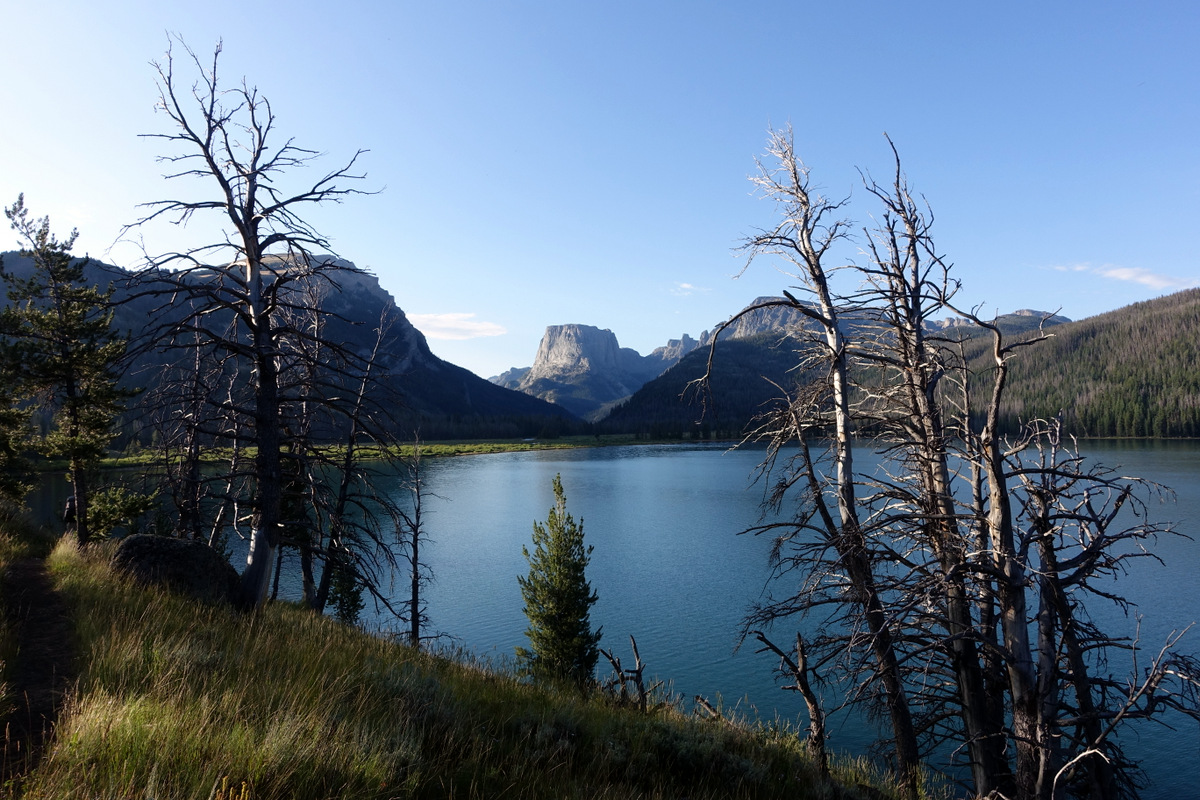
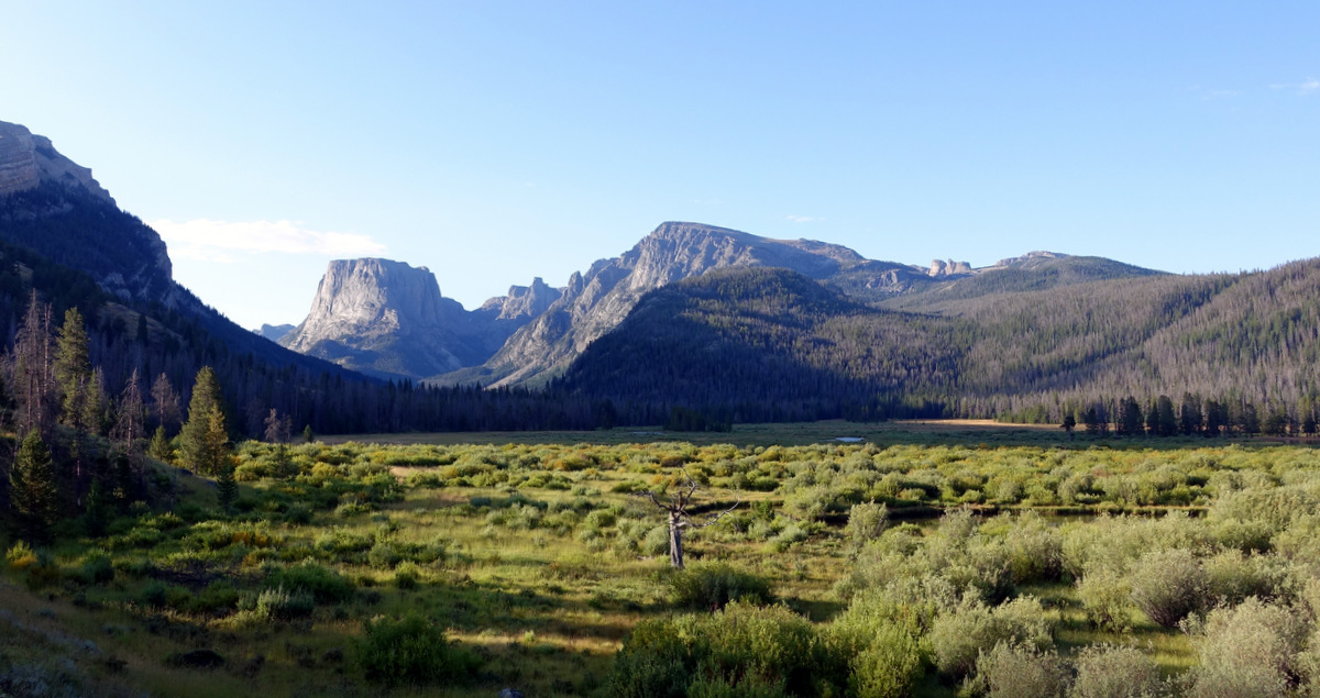
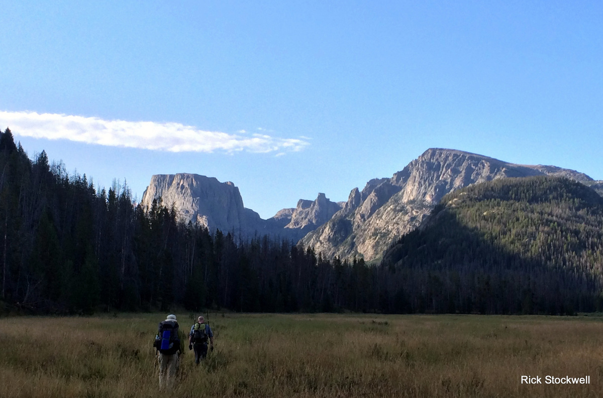
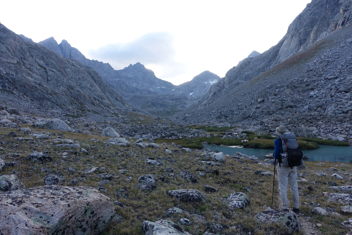
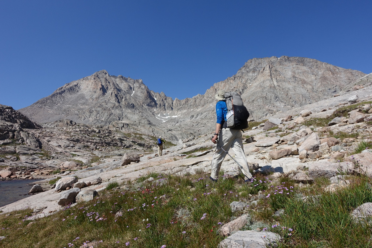
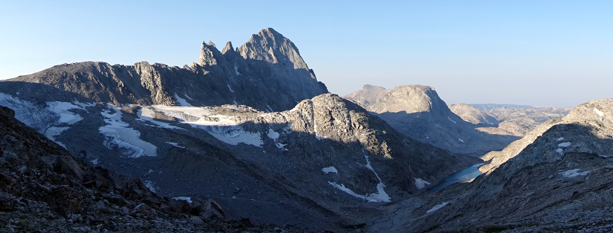
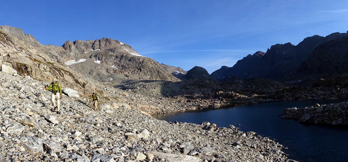
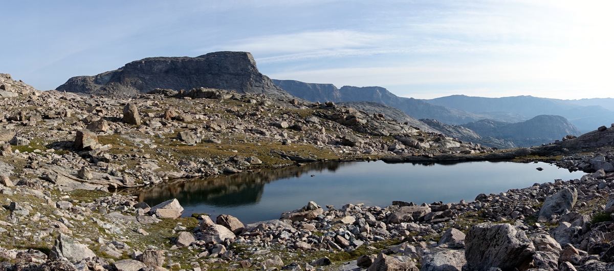
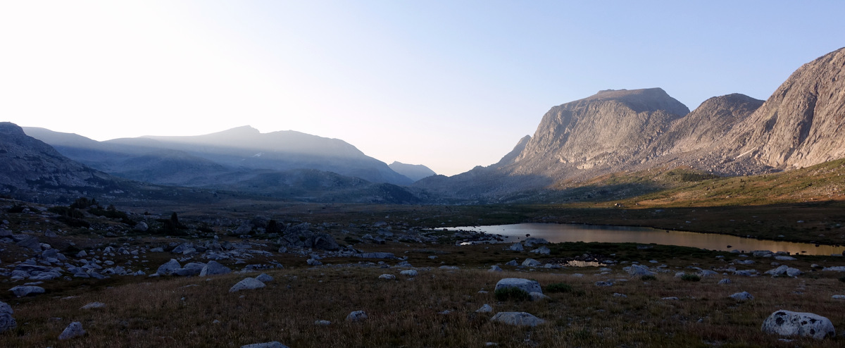
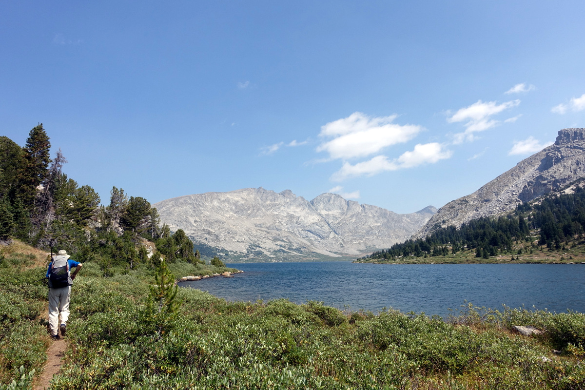
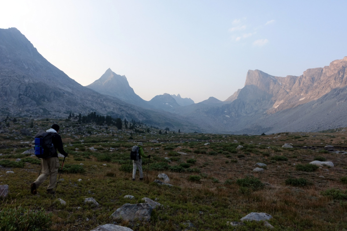
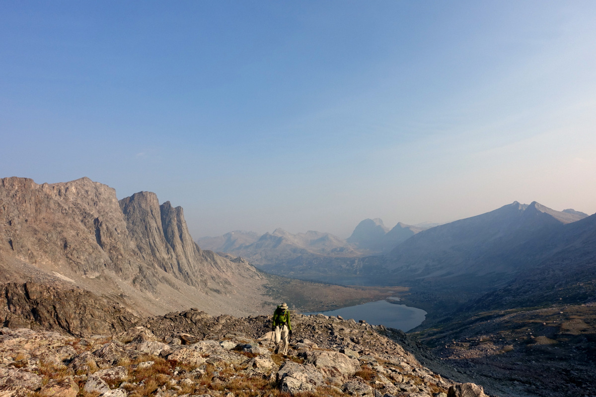
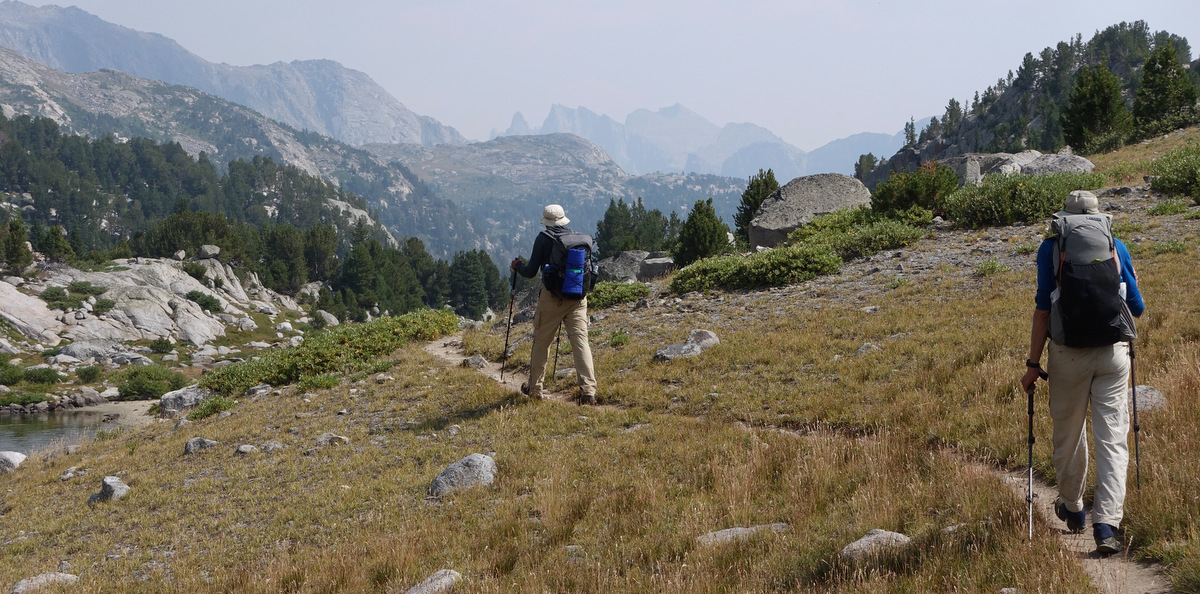
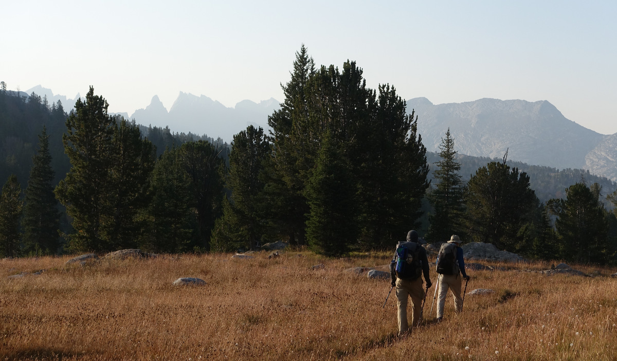
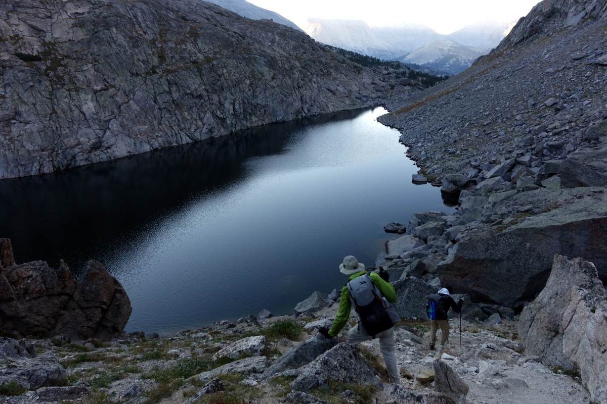
We have the shores of the Green River Lakes to guide us initially, then a fairly flat 12 or so miles until things begin to elevate…
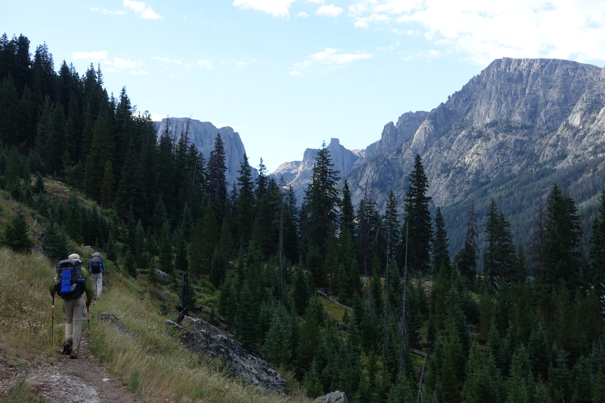
The imaginatively named Squaretop Mountain at 11,695’ dominates the early horizon.
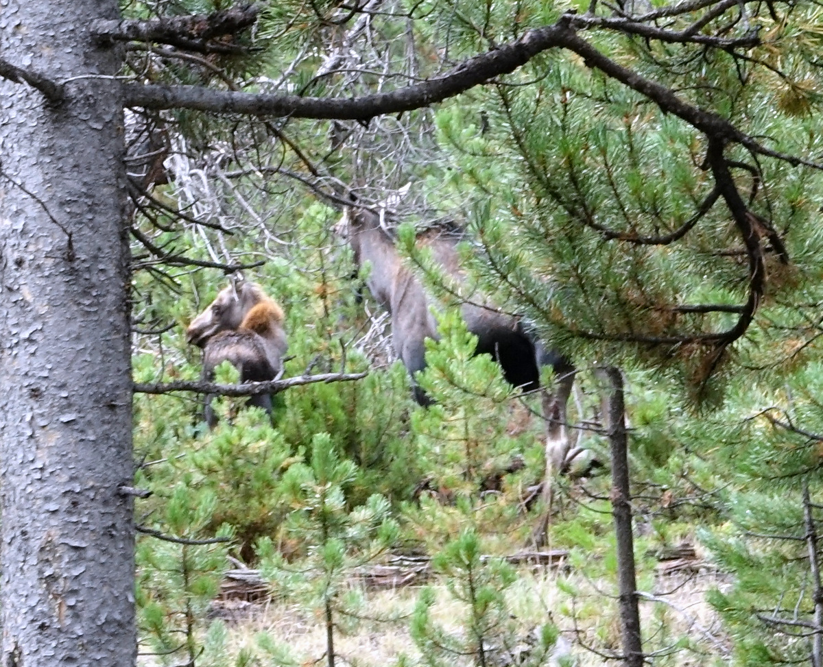
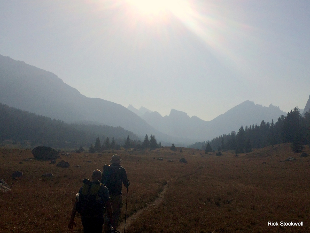
As we move into the forests around Three Forks Park this moose and moose Jnr catch my eye.
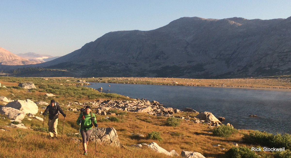
The chaps actually stop for a bit; just a bit – we’ve been flying along and have 12 miles in our legs before midday.

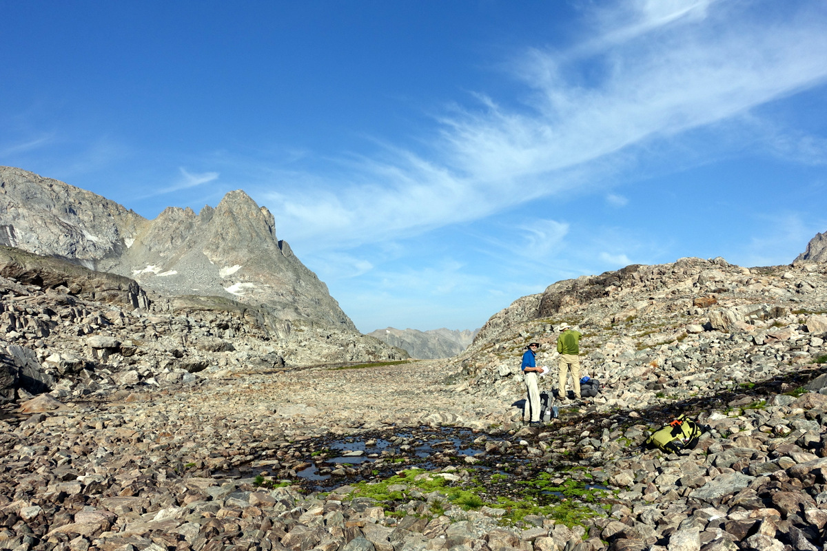
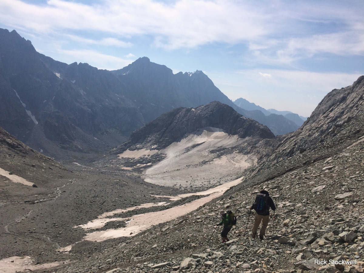
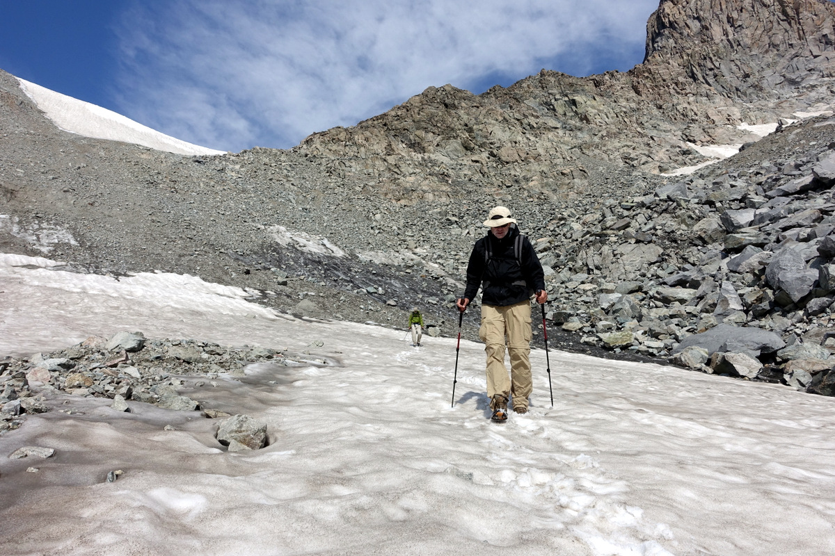
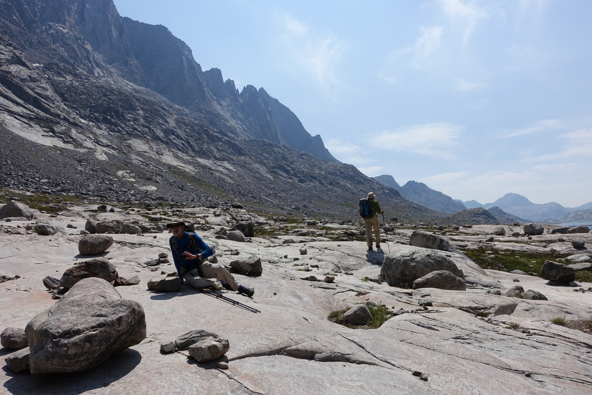
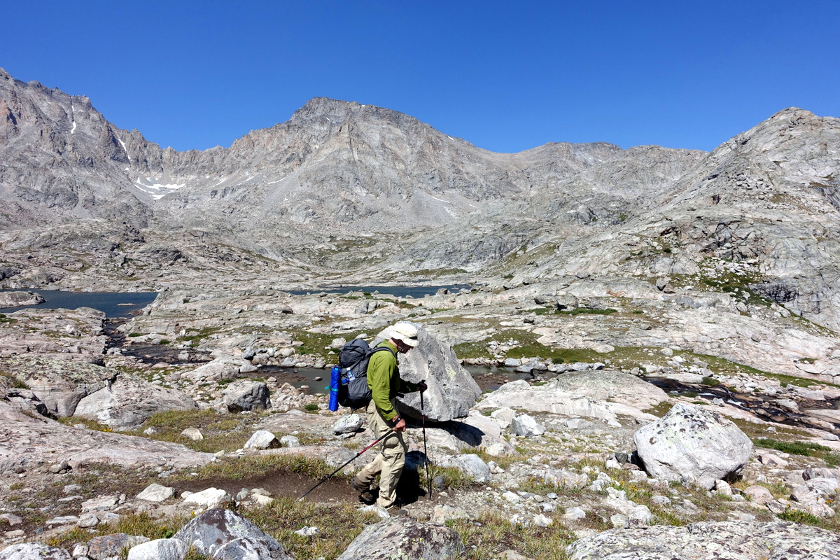
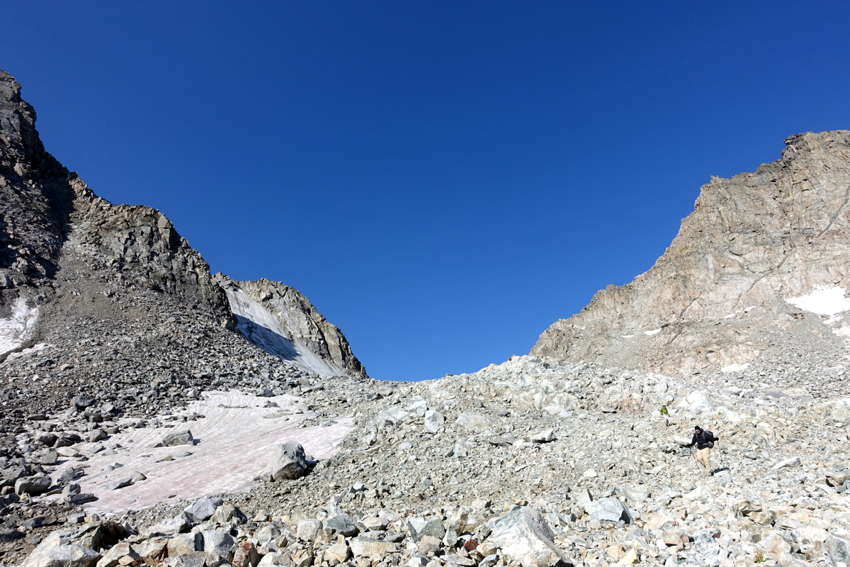
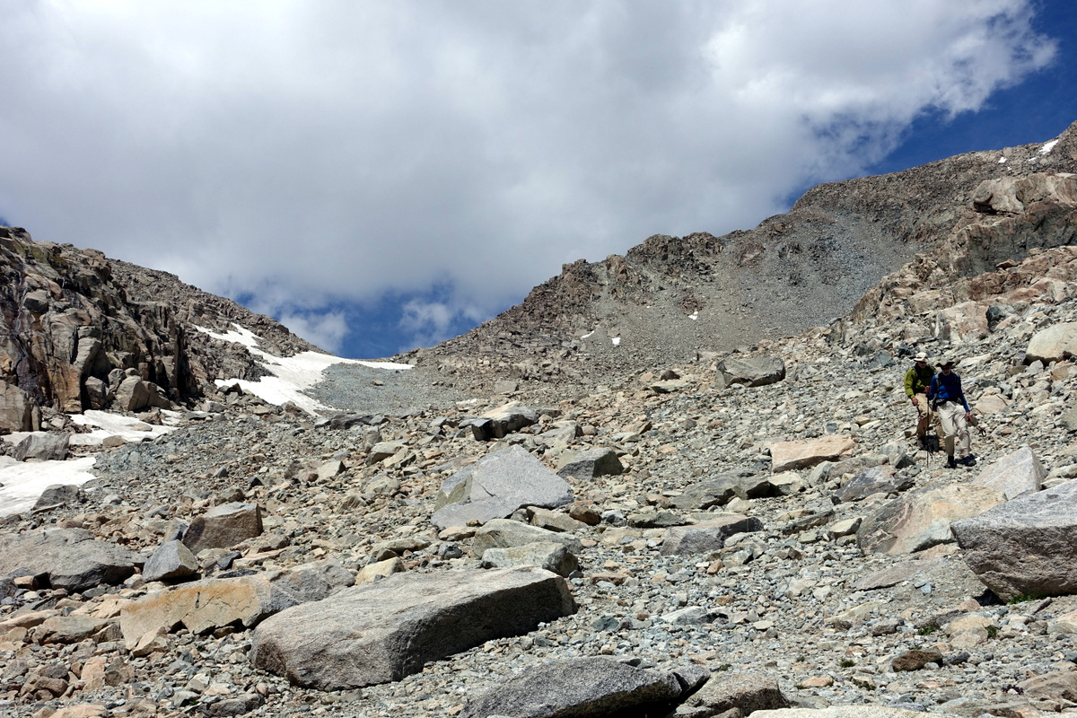
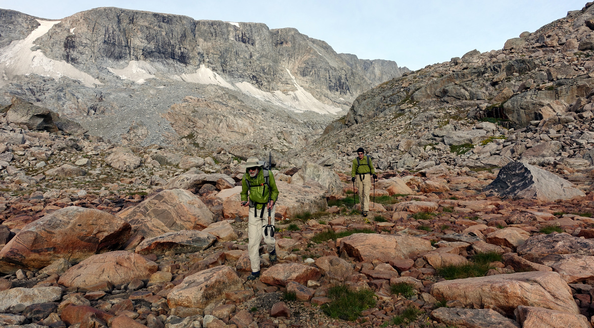
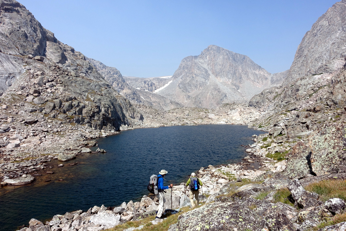
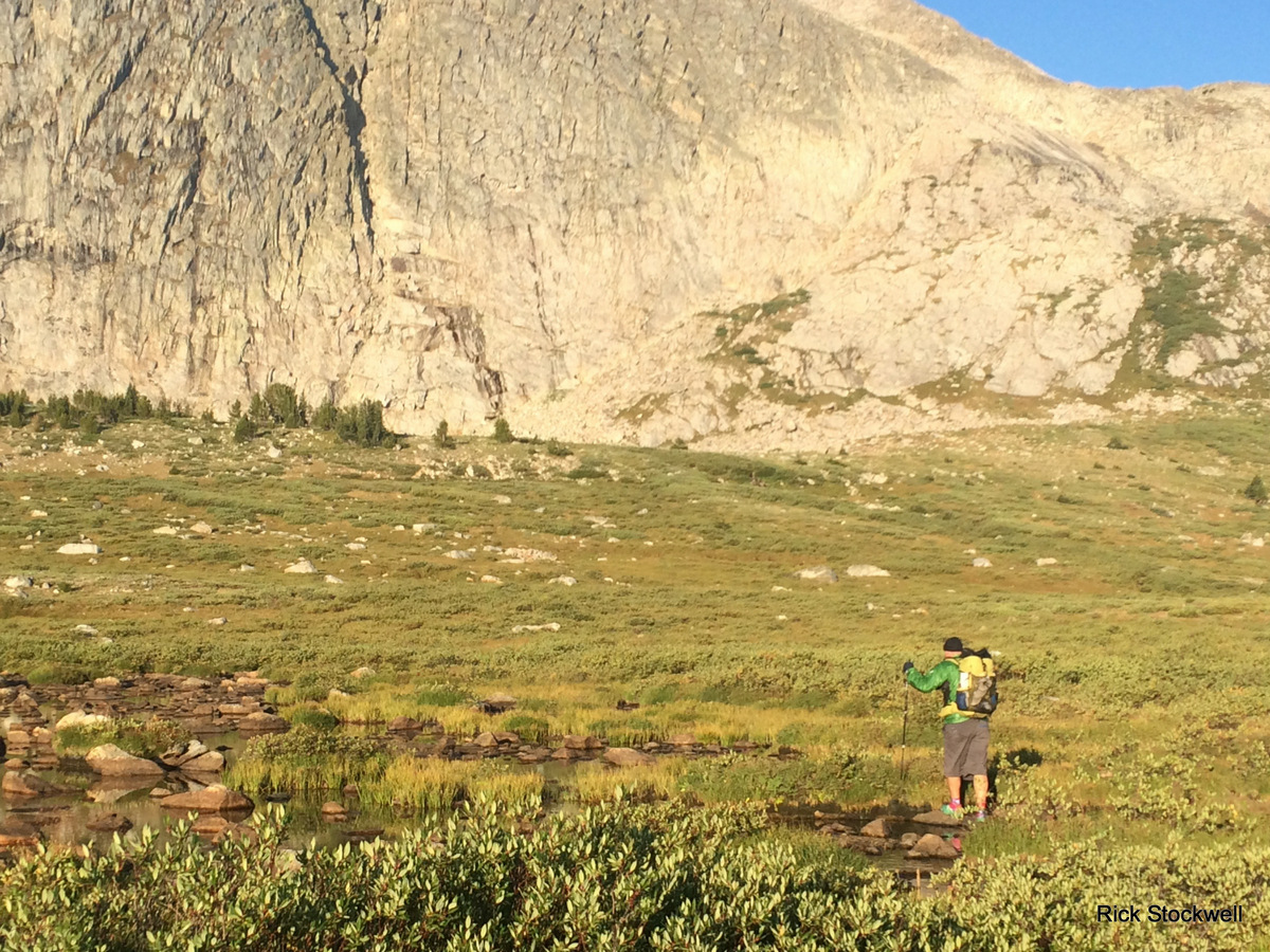
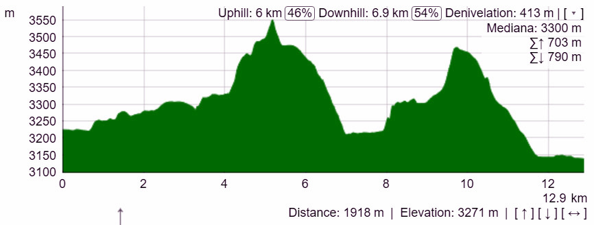
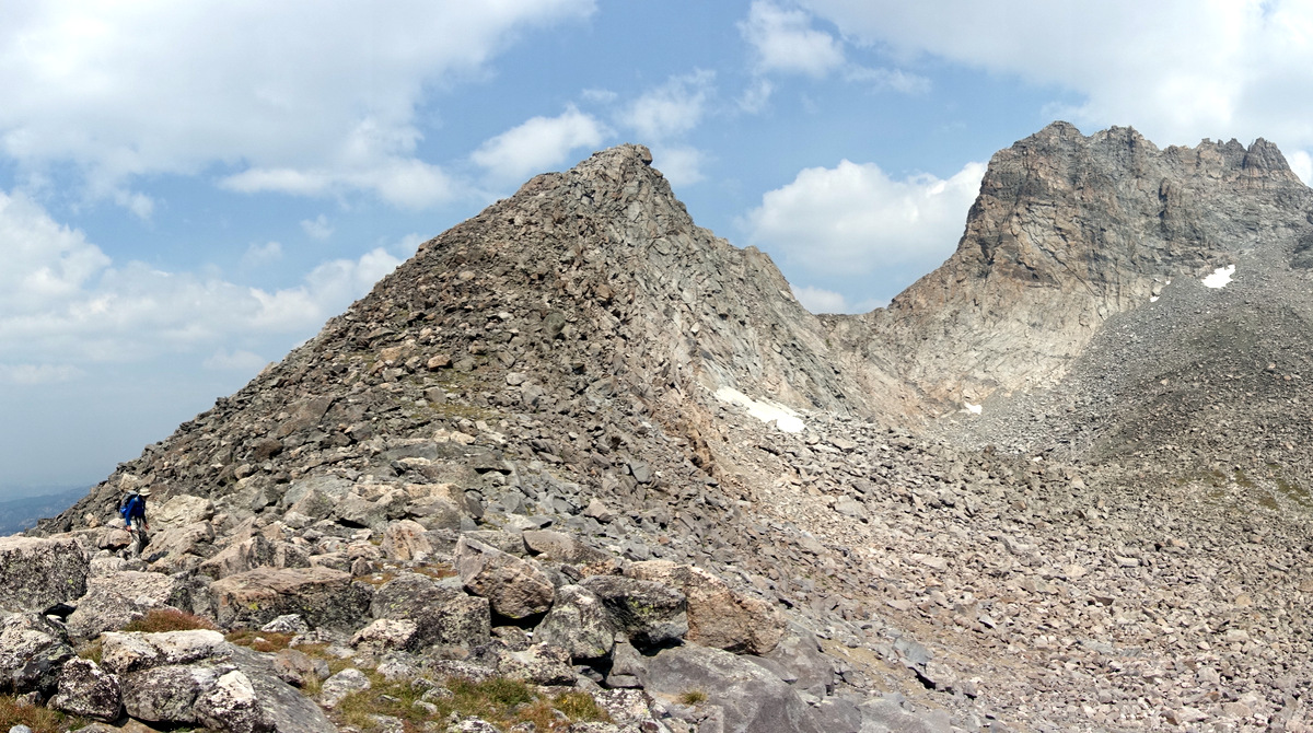
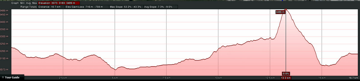
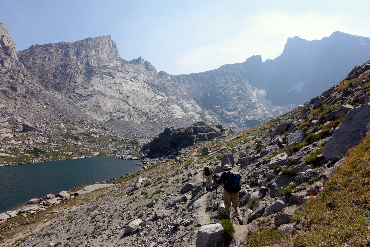
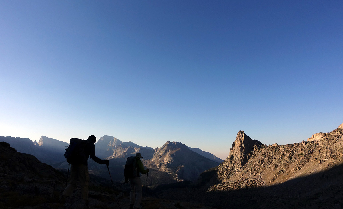
Up now – we will climb about 4,000’ today – which is enough as it spirals us up to 11,000’.
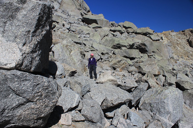
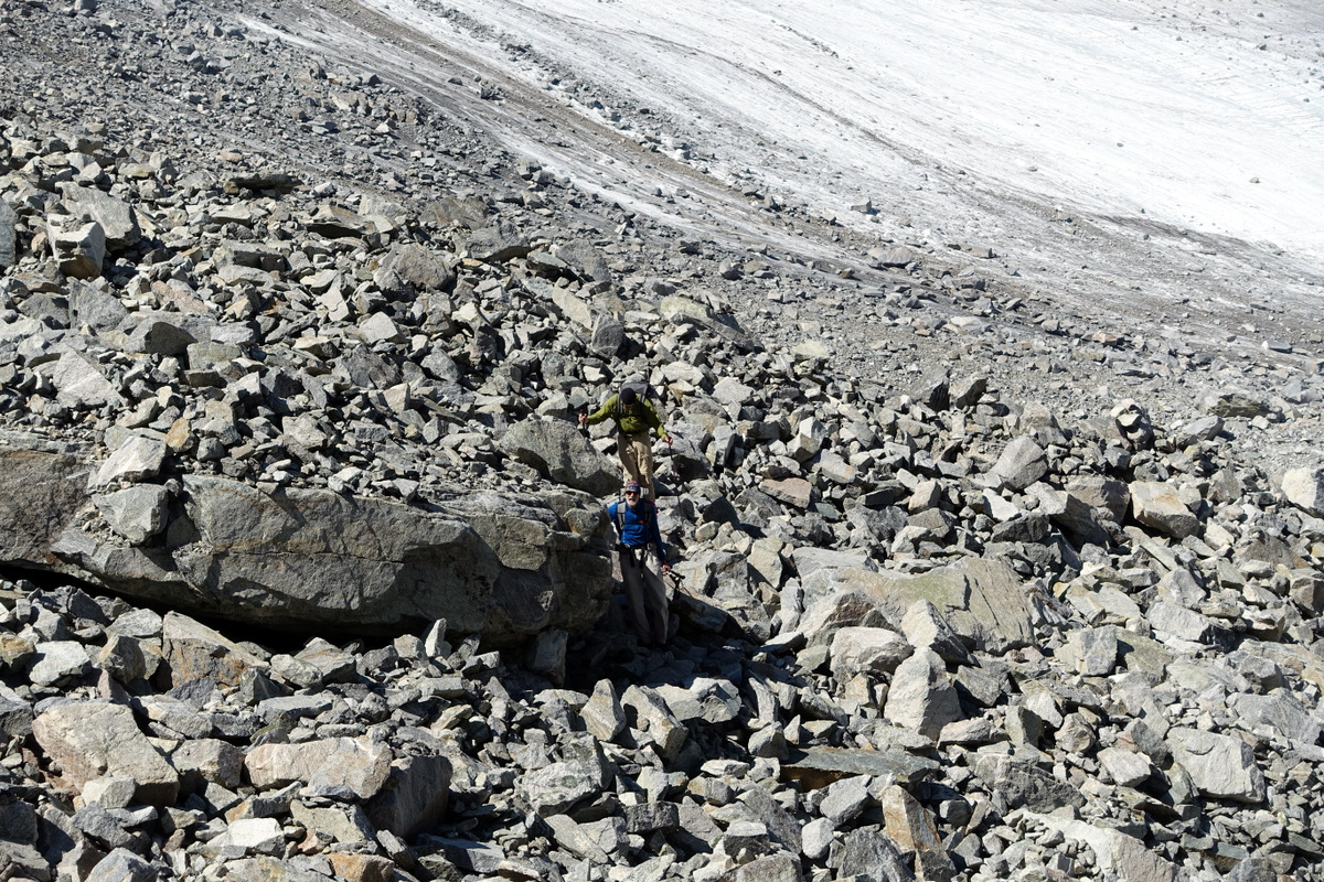
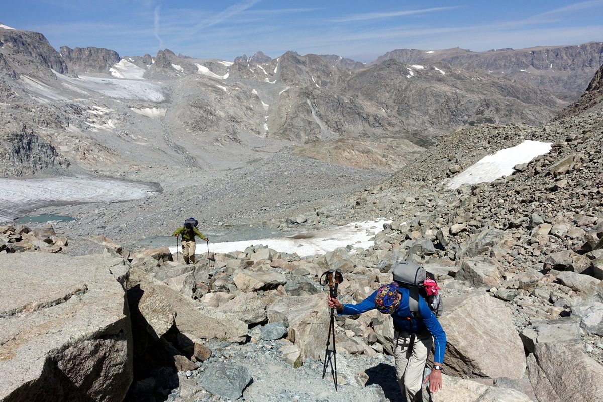
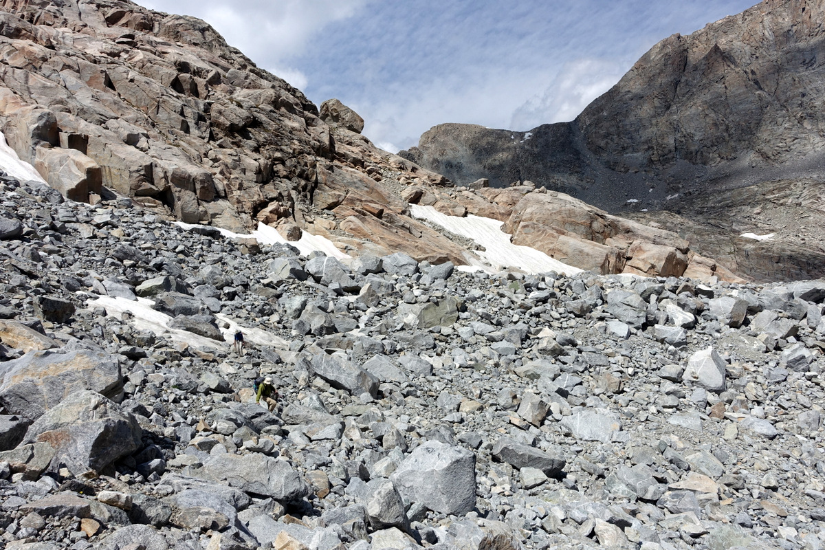
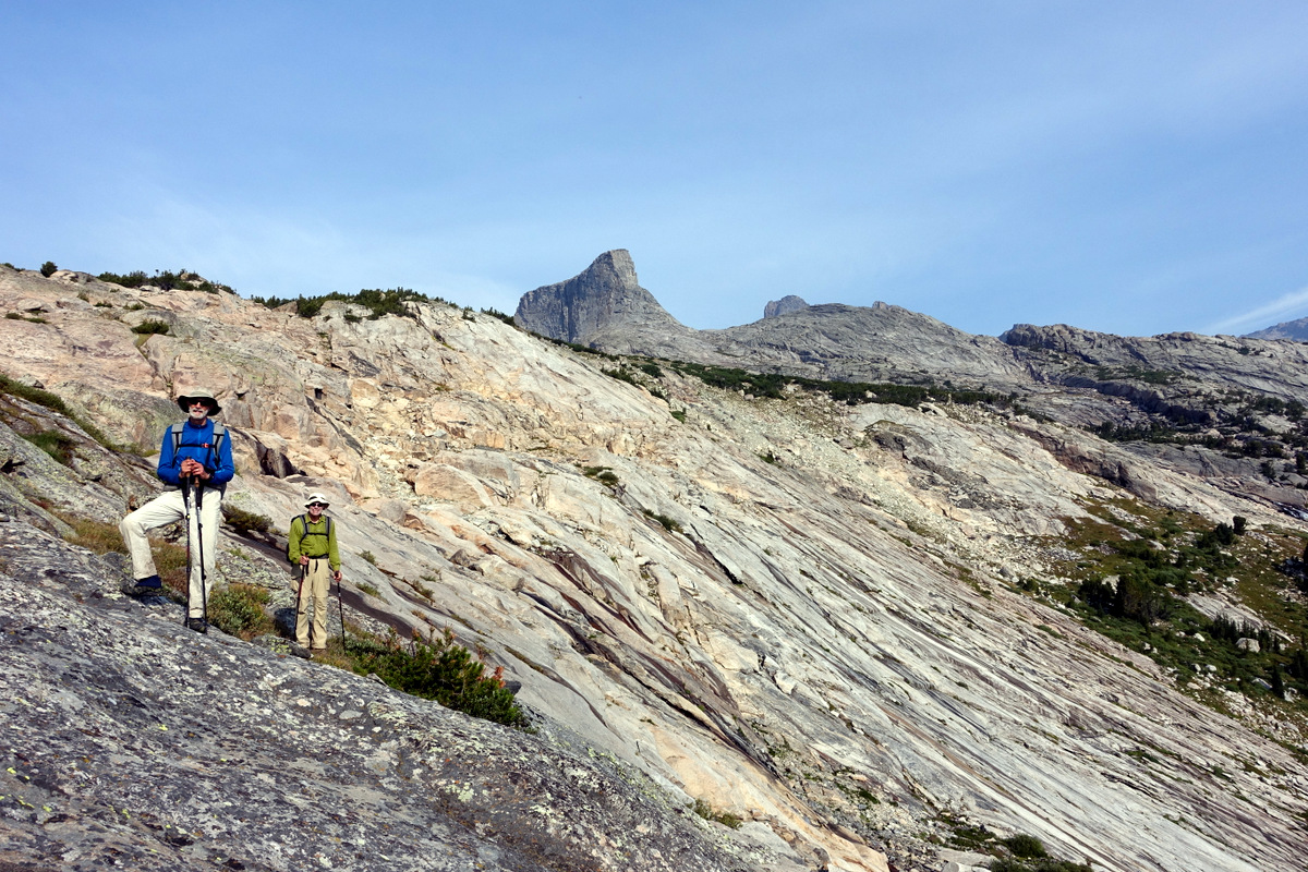
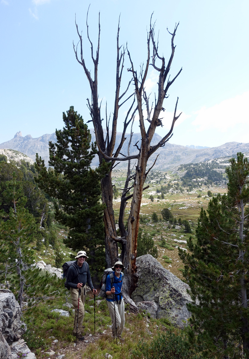
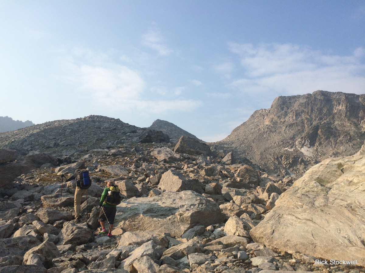
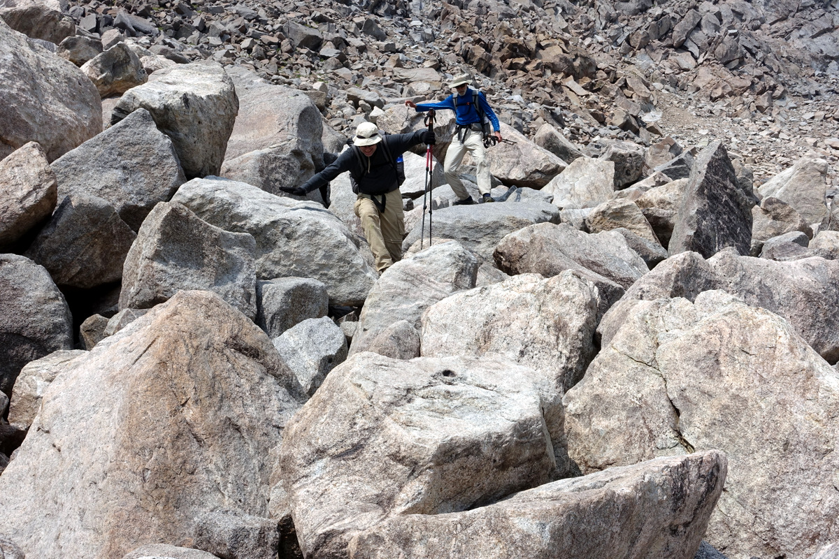
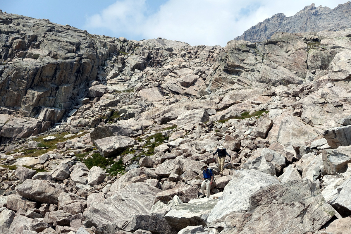
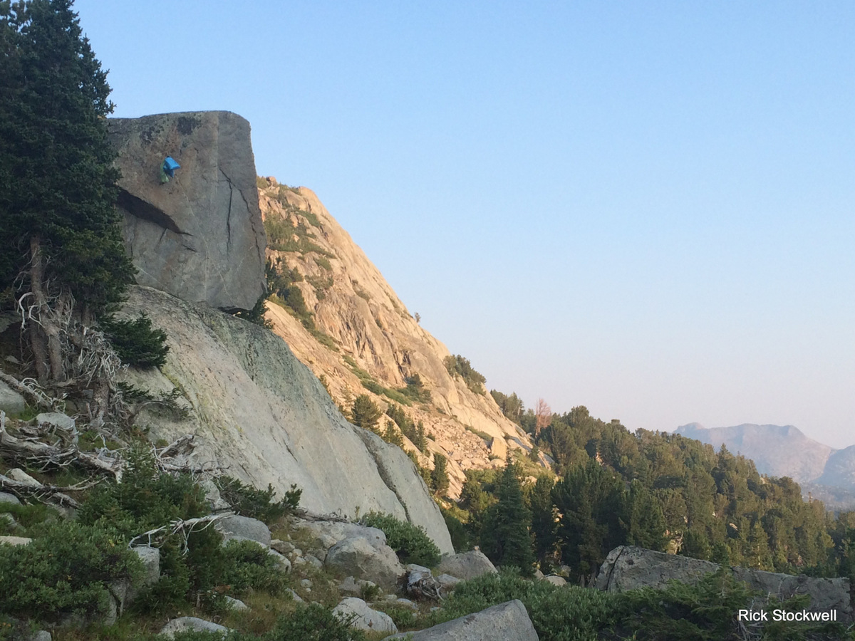
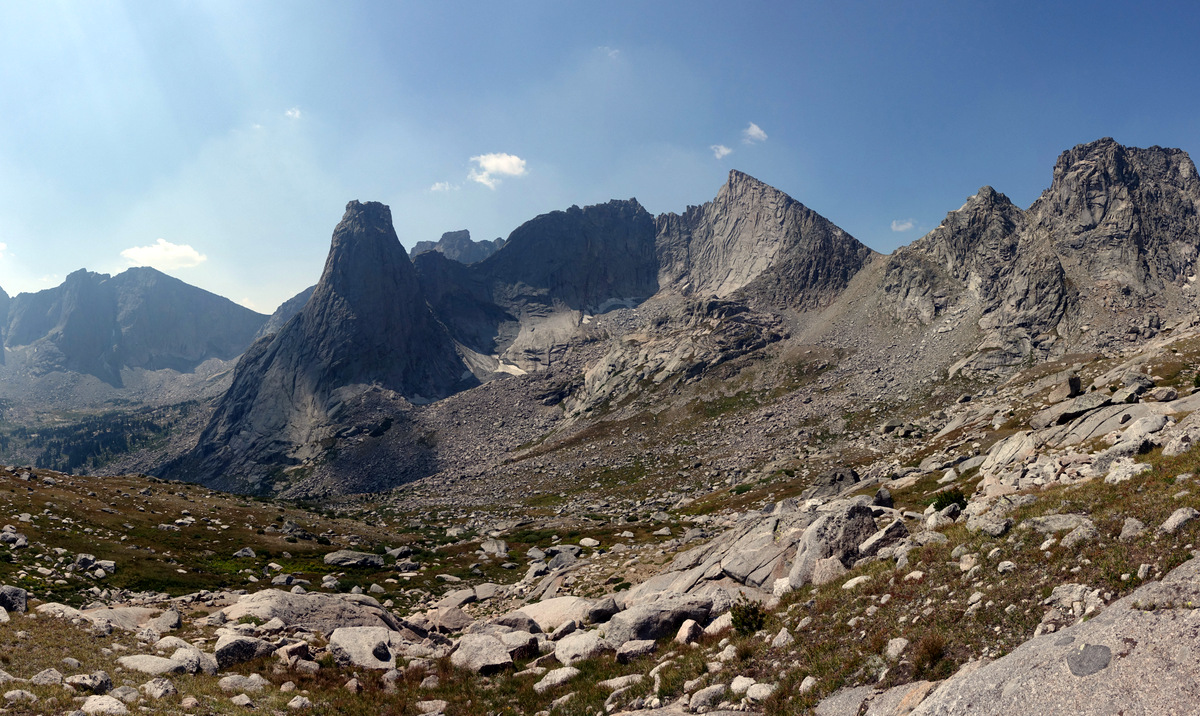
Vista Pass is pretty easy but the boys are still shifting and I’m into backpacking mode so am trailing a bit…next up comes Cube Rock Pass (aptly named as it is a feast of talus).
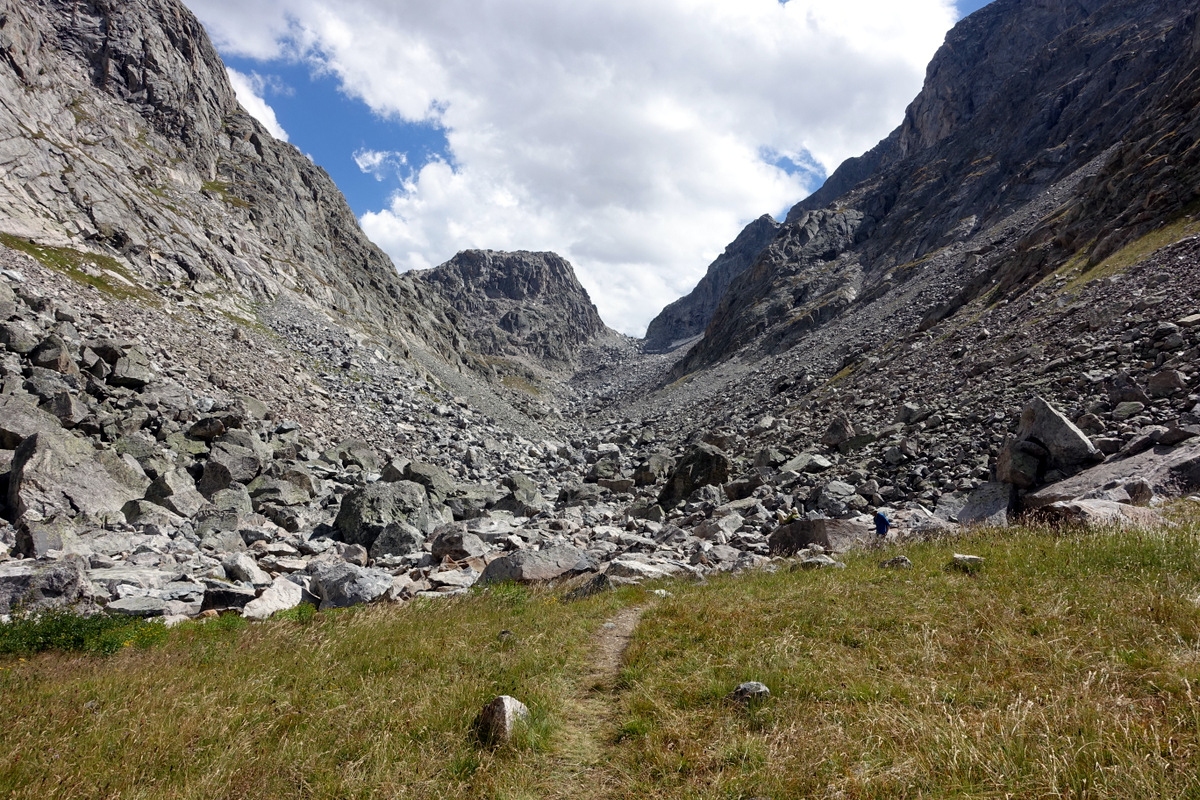
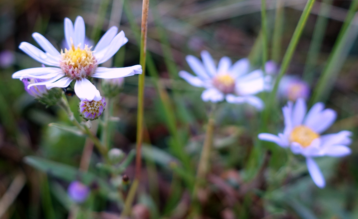
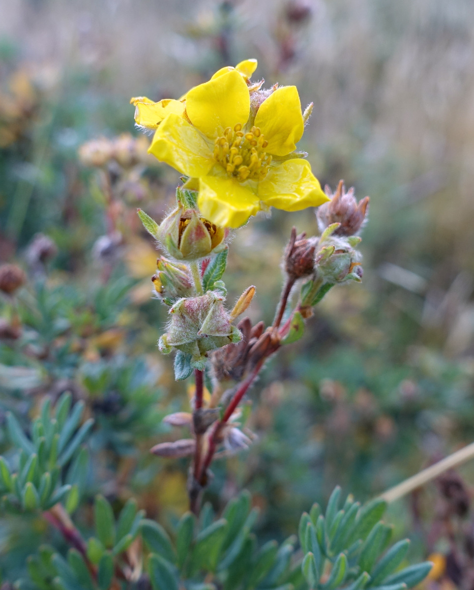
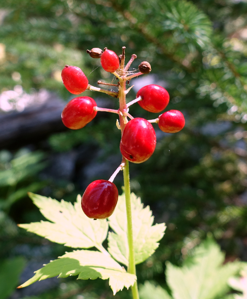
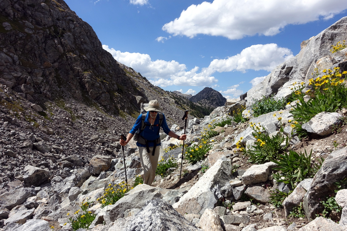
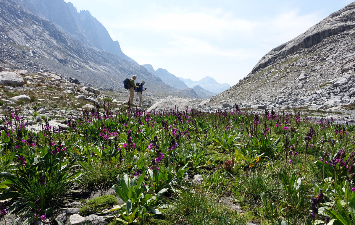
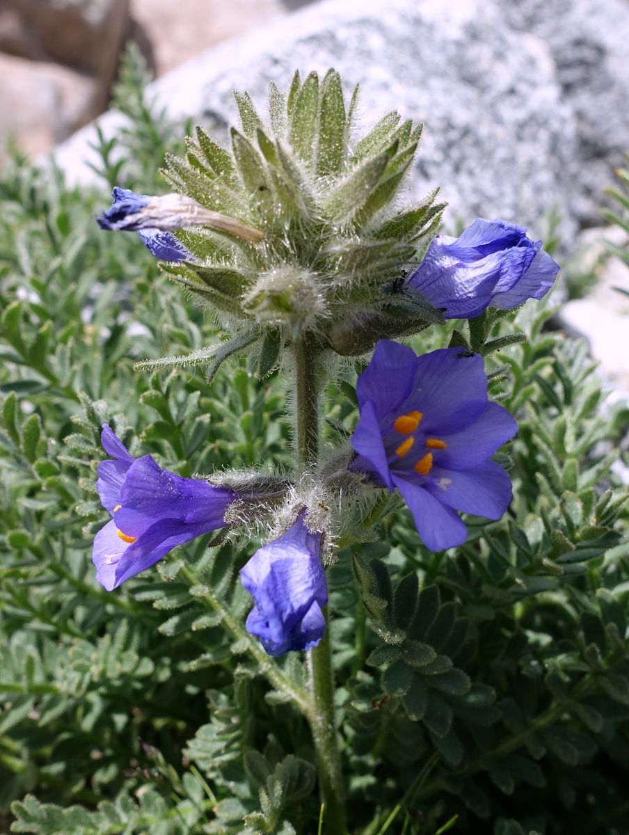
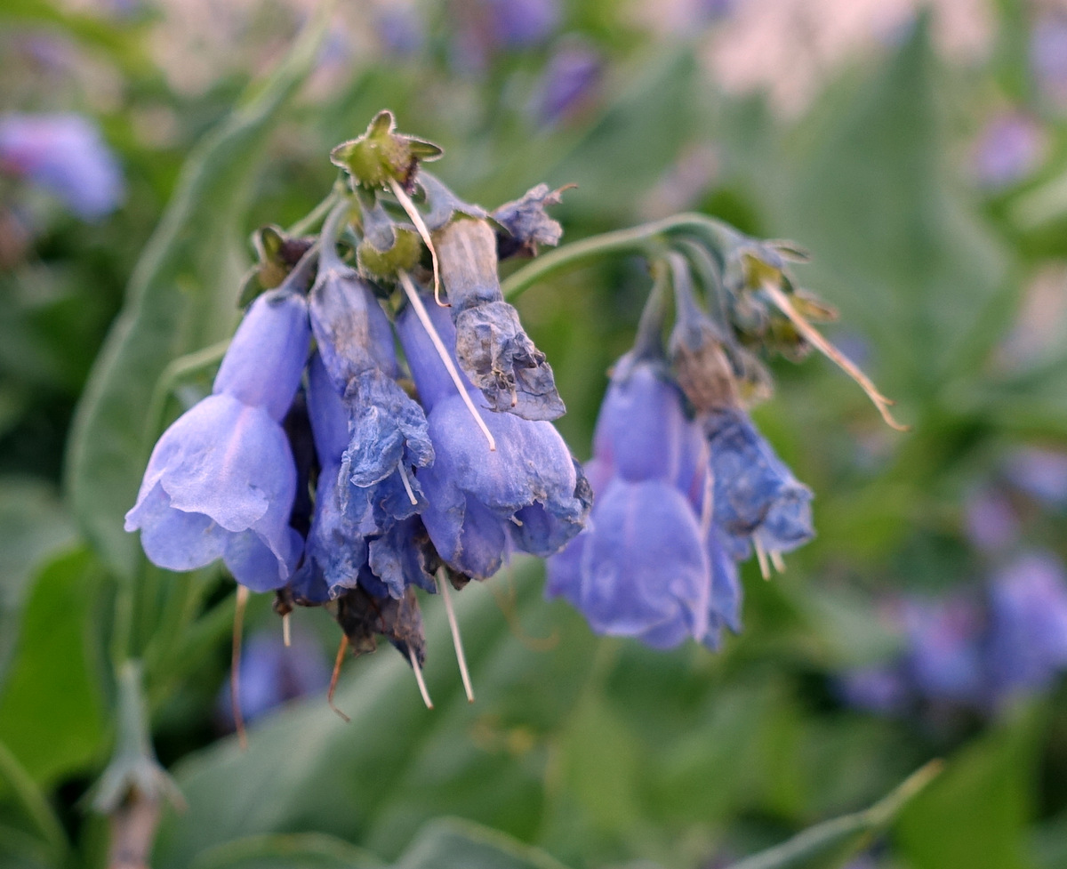
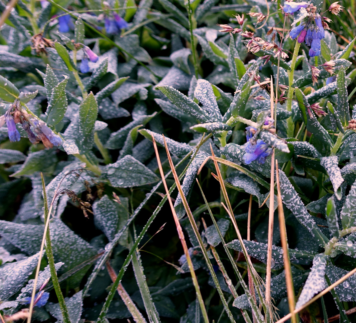
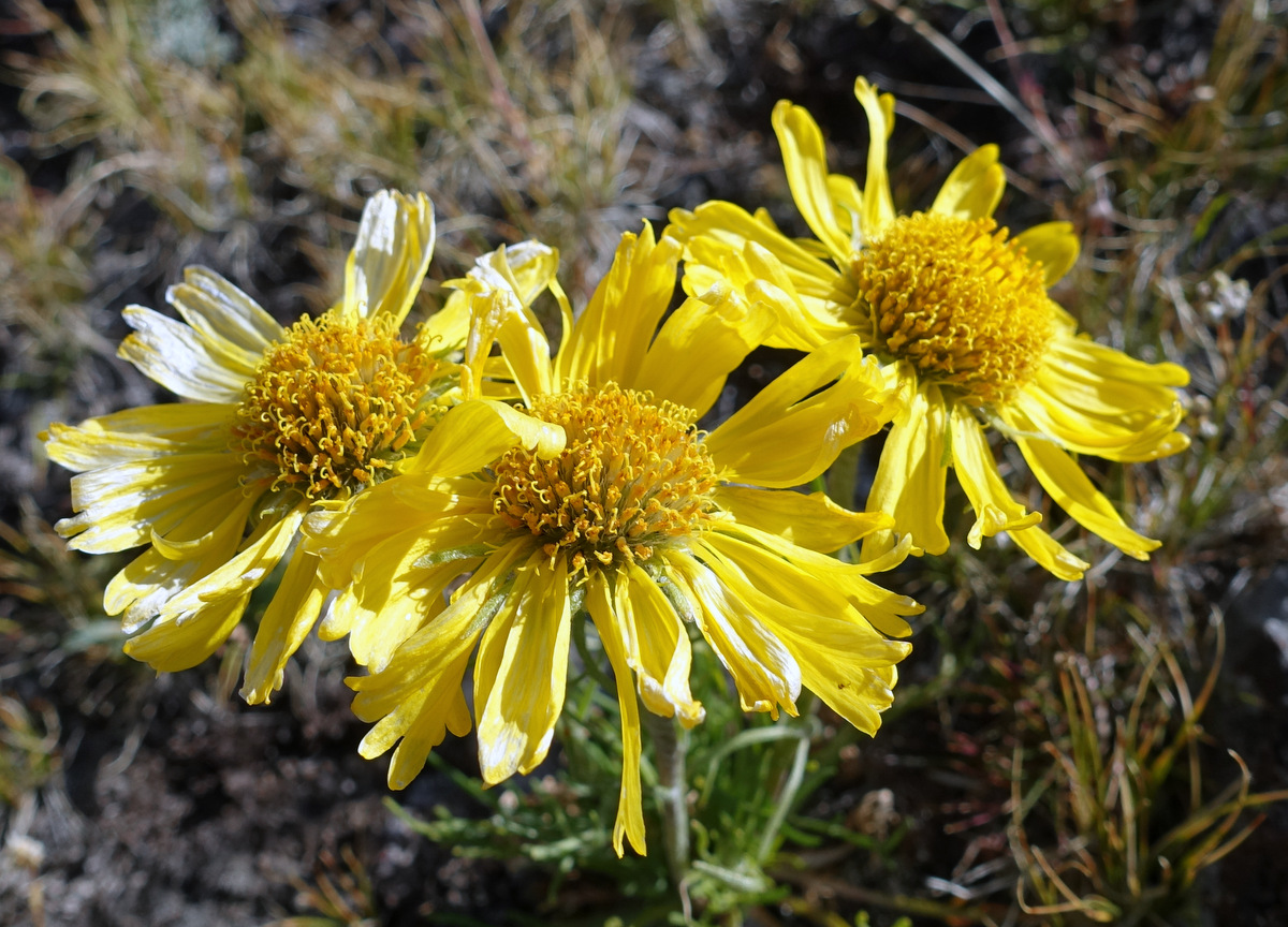
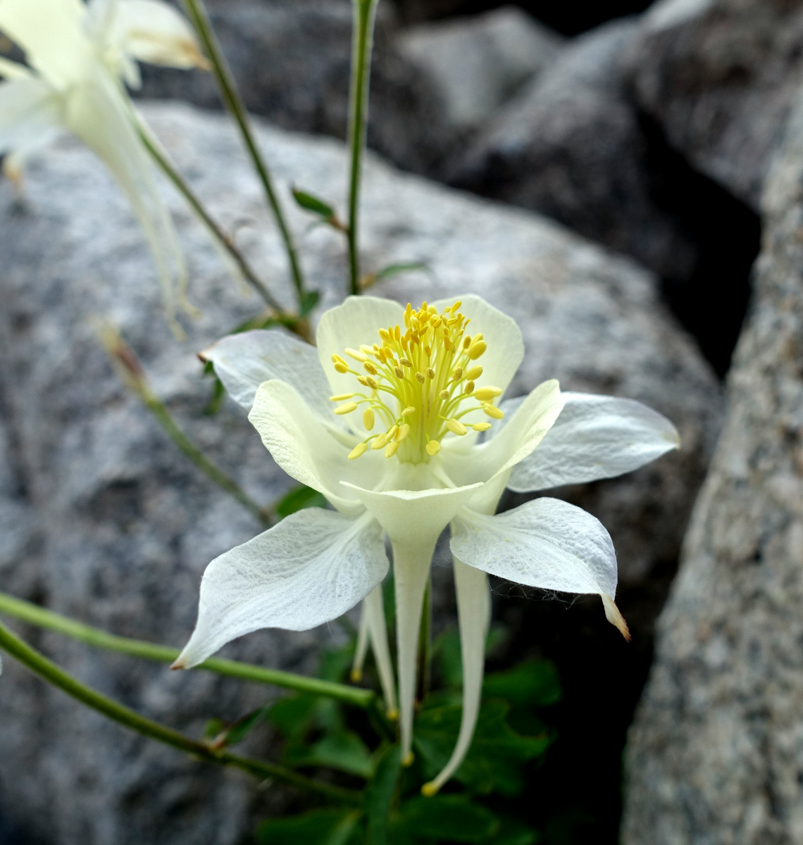
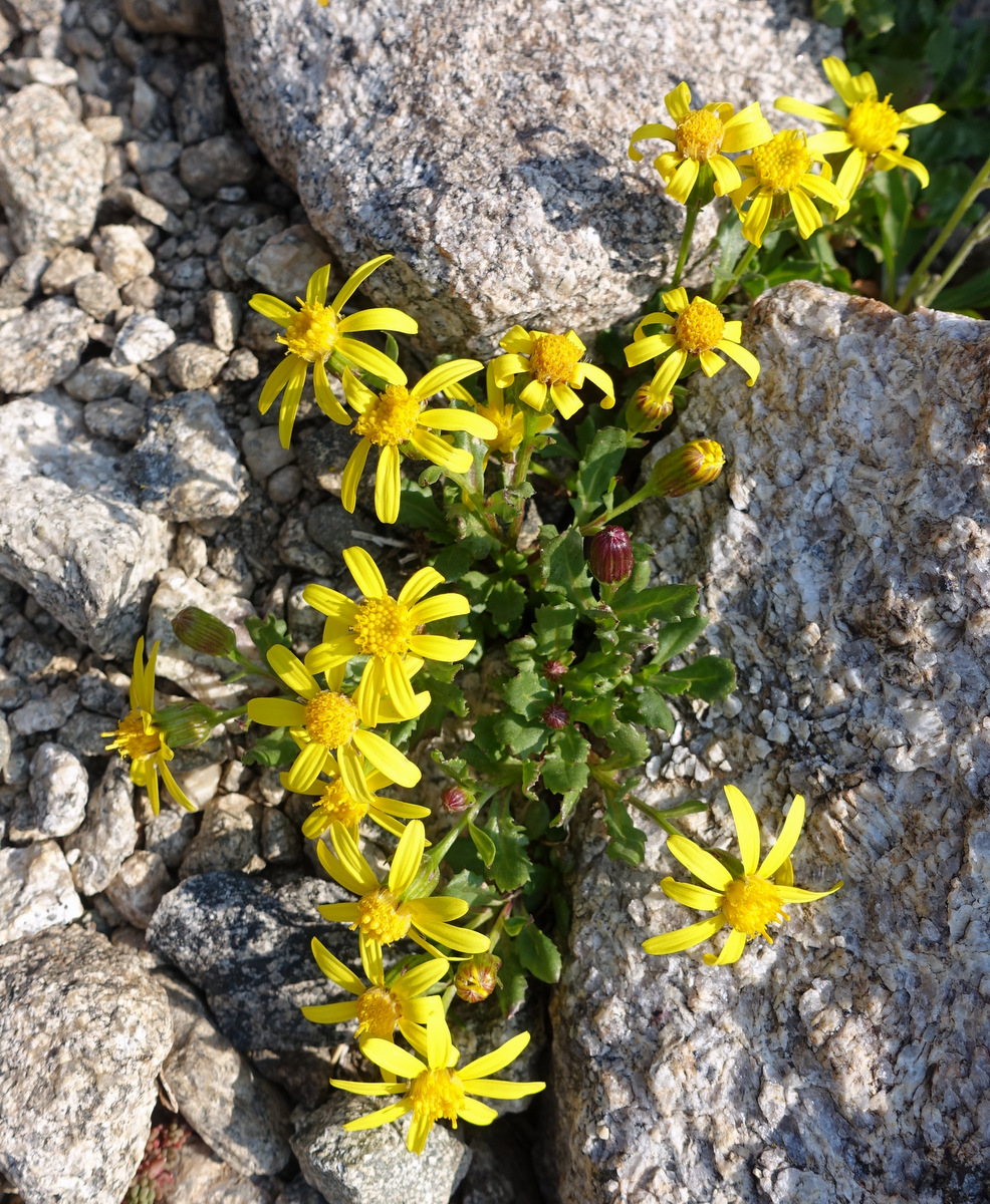
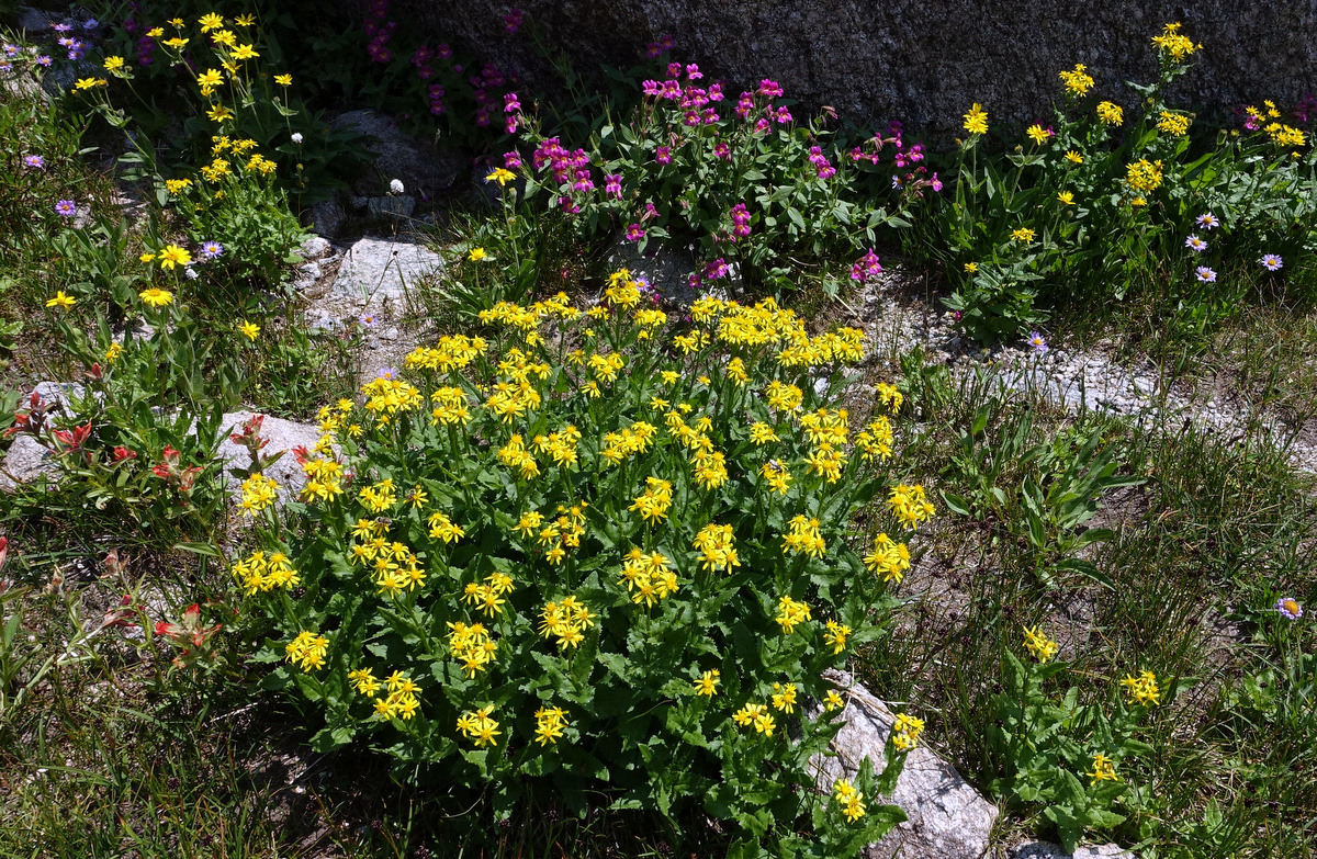
Rick pushing up through the wildflowers that are in fine bloom – we have hit the season just right. As one can see, the talus can be big!
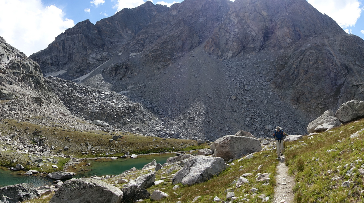
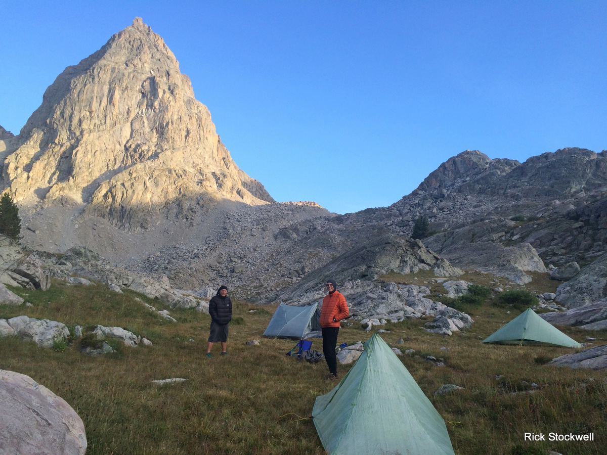
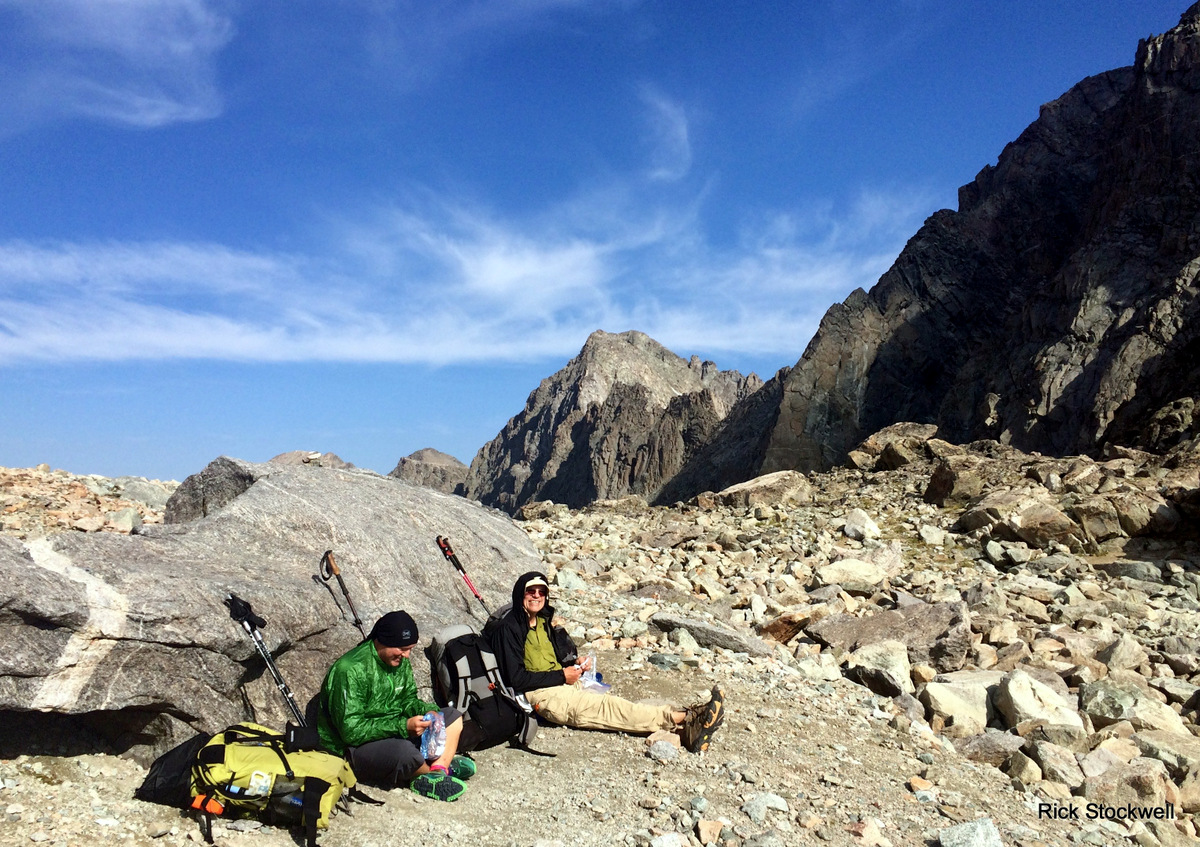
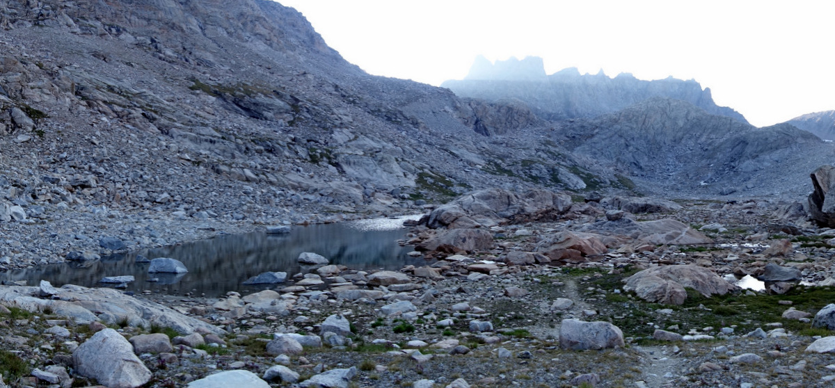
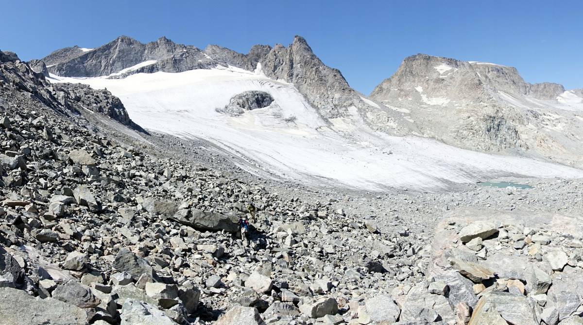
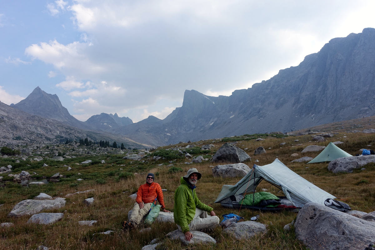
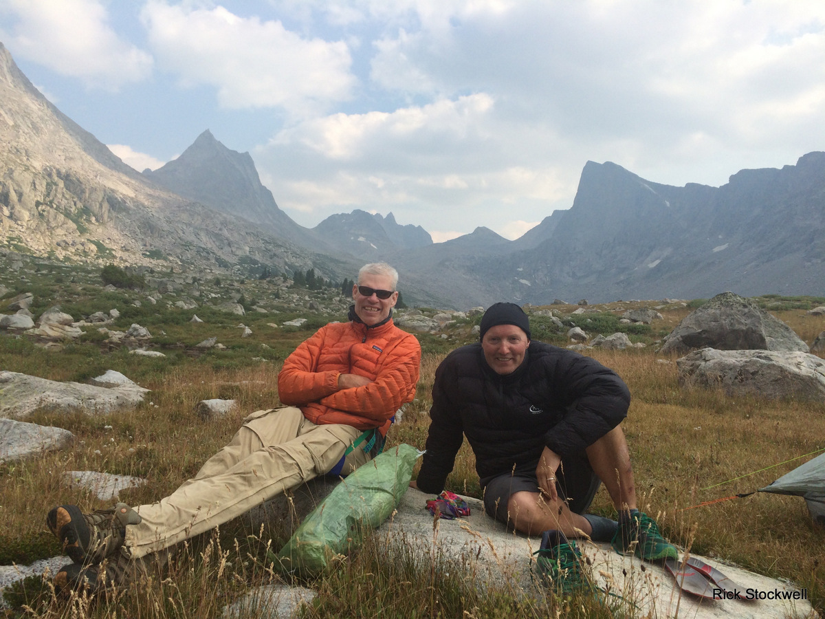
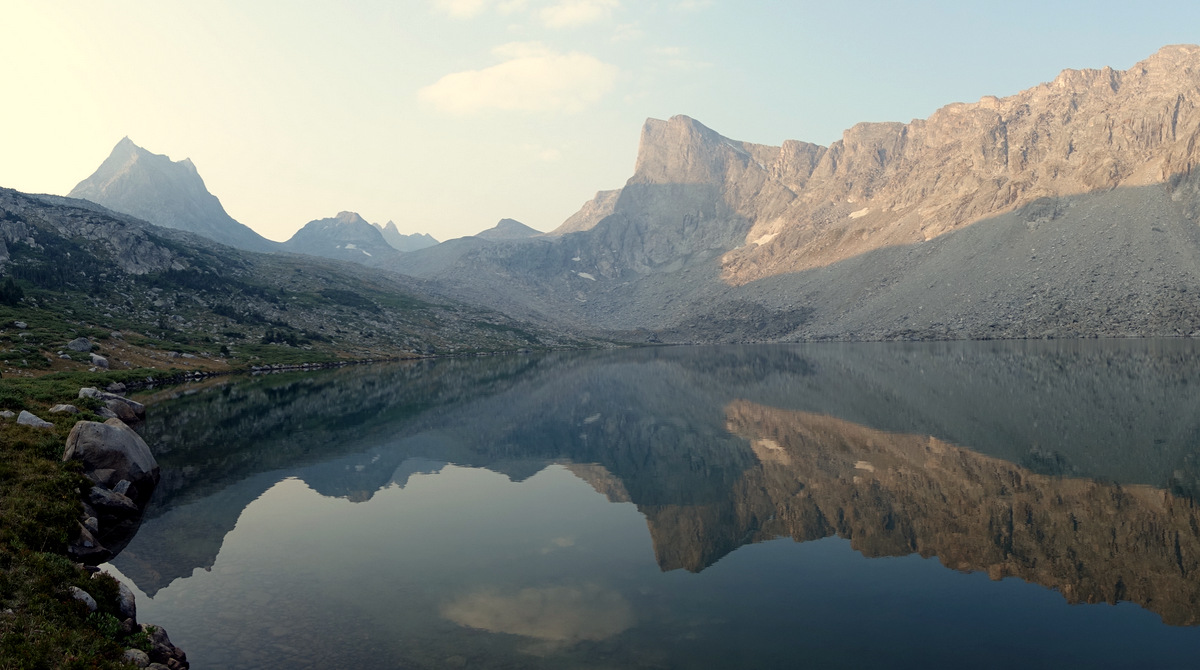
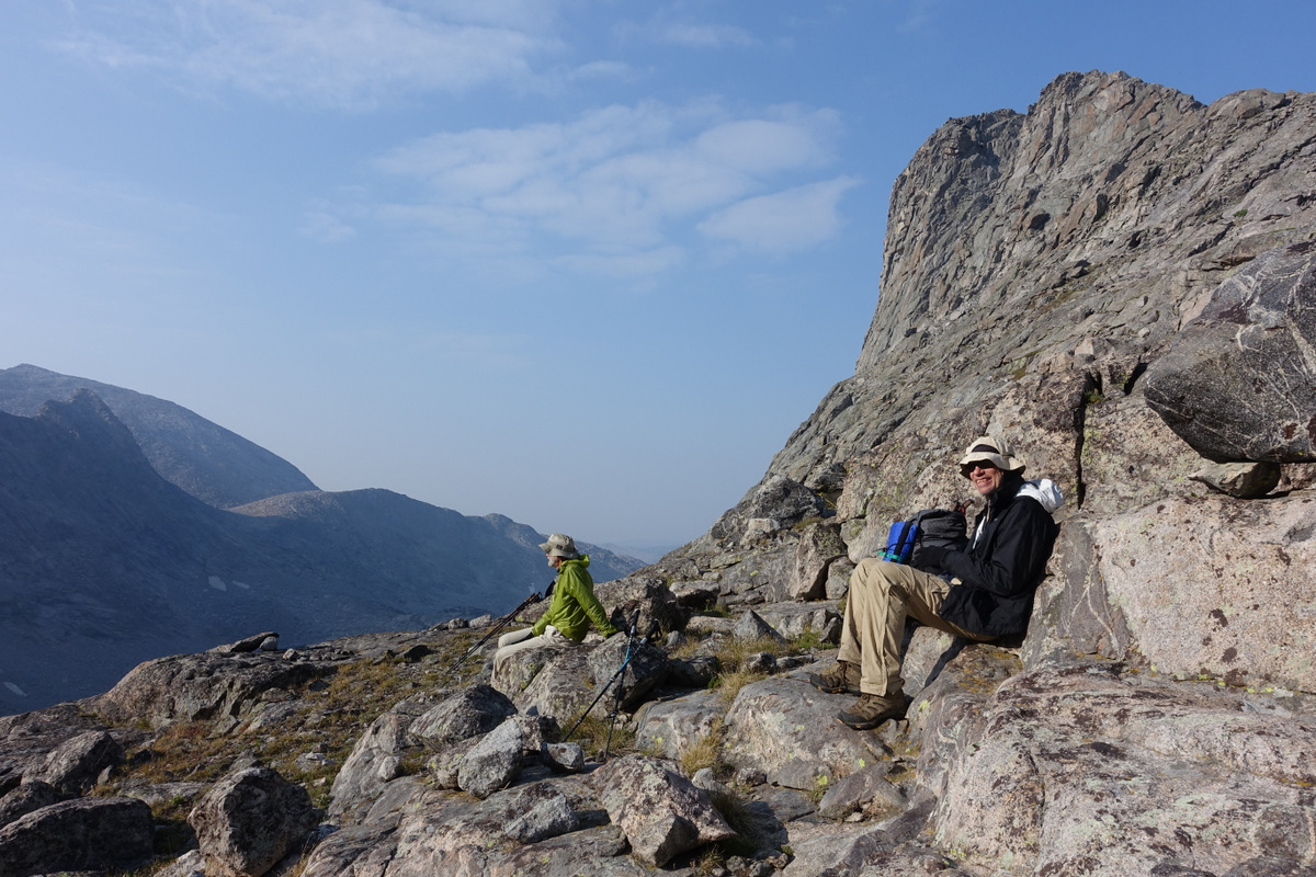
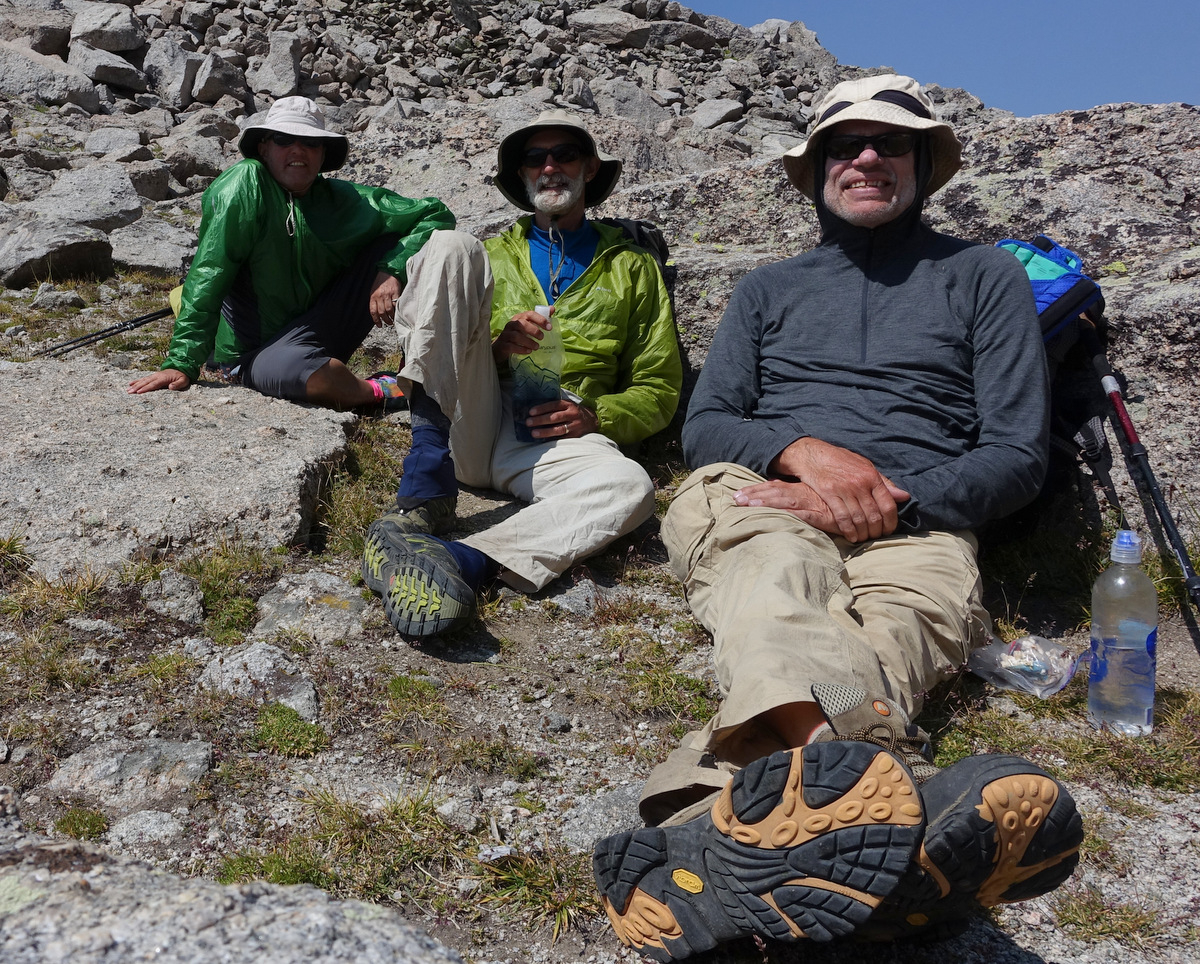
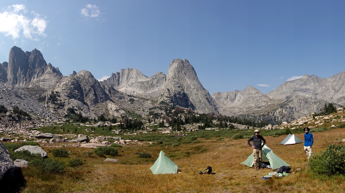
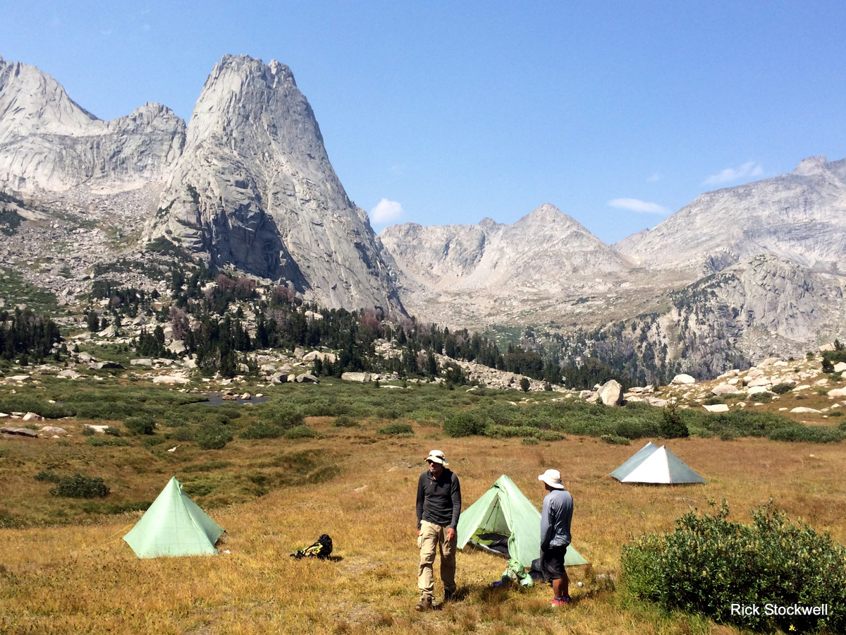
We are heading down to Peak lake for the night – out intention had been to pitch to the East of it, but there are a couple of rangers over there….so we opt for stealth and a peaceful night.
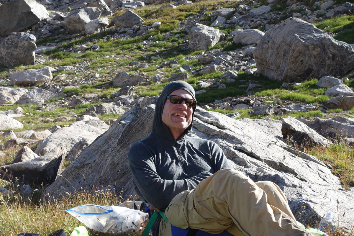
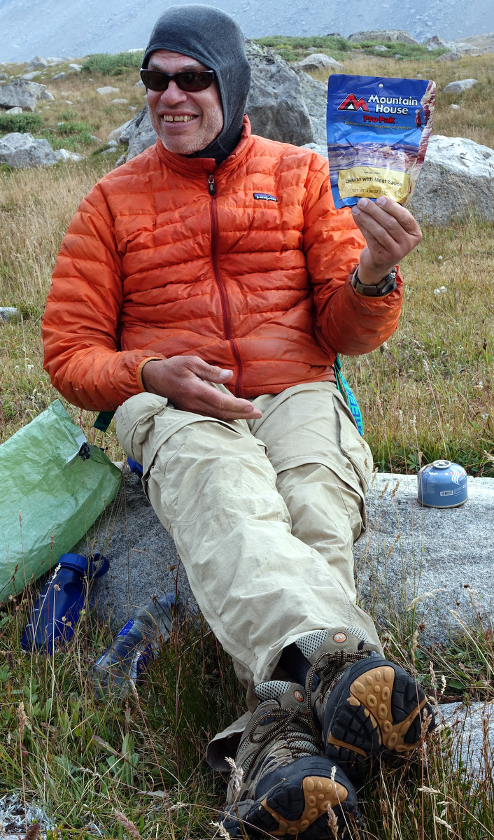
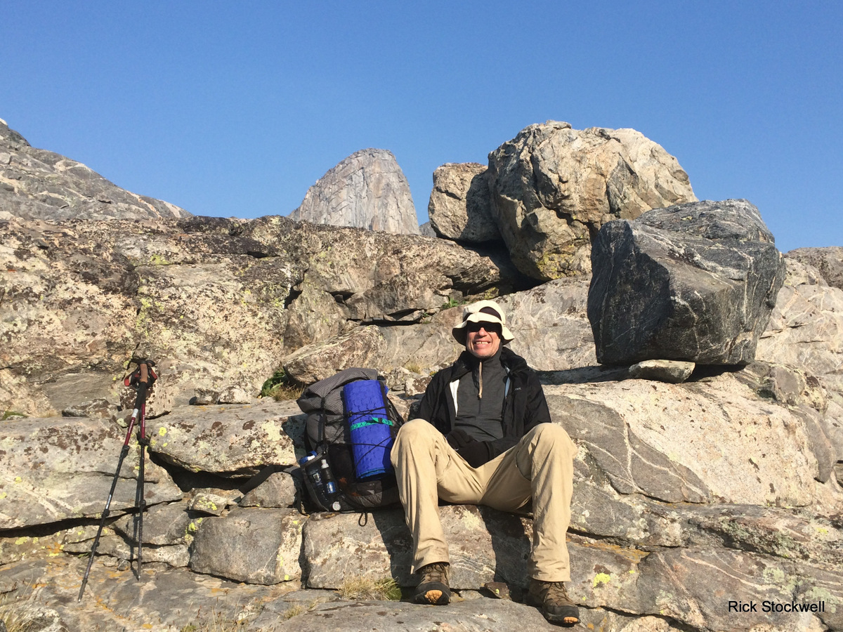
Pete has brought his chair despite my wordy protestations…
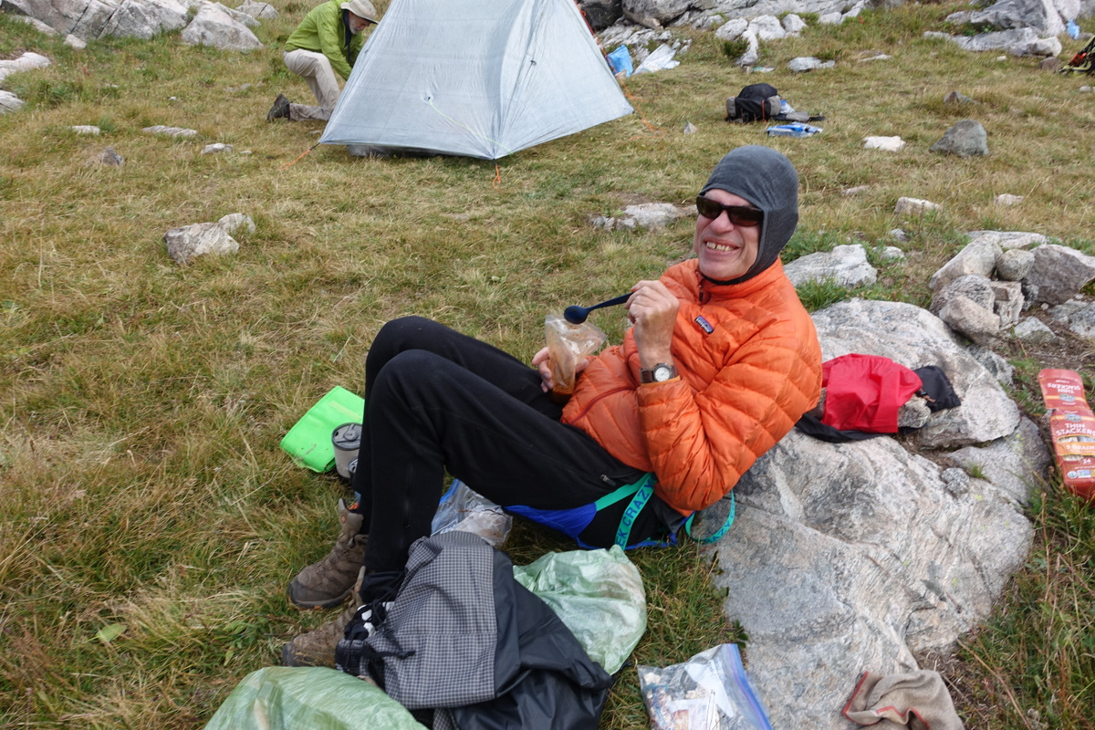
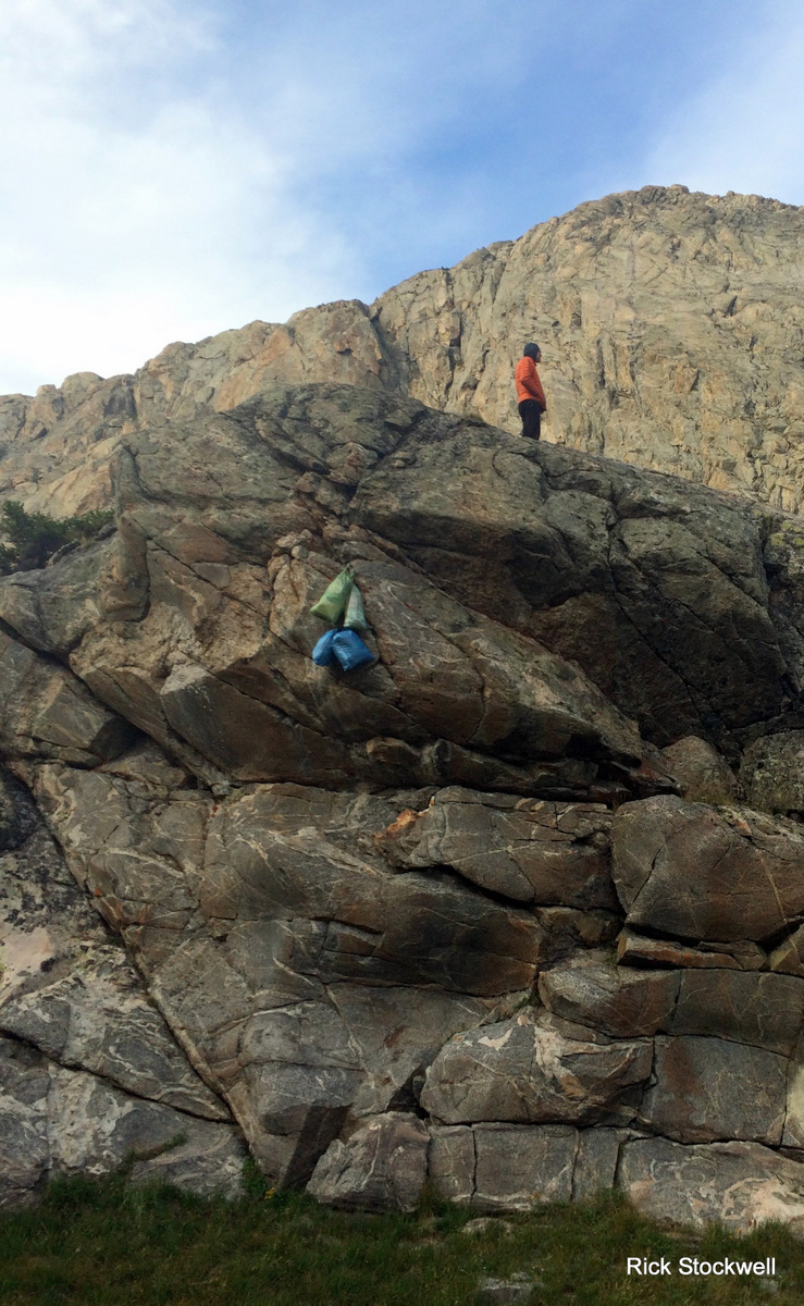
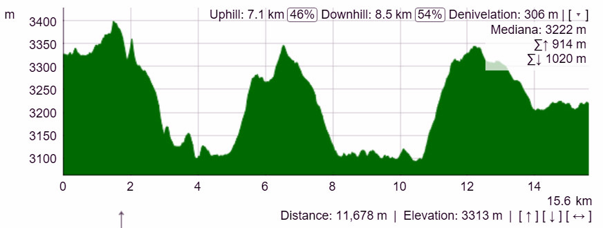
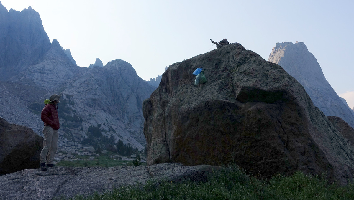
And then it is the first bear hang of the trip – rock hangs dominate above treeline.
Do we see a bear? We do not.
Do we hang? We do.
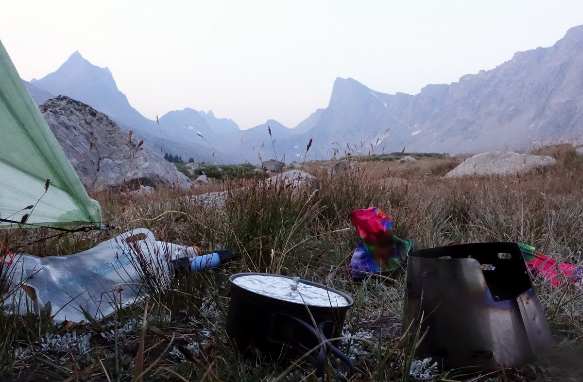
My satellite beacon chirrups and I smile; I’m still smiling.
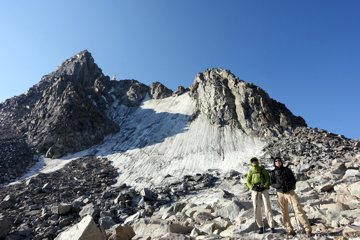
Day two – one of the more difficult passes of the trip and parallel gashes in my leg
Sixteen miles and 1440m of elevation gain the day before certainly delivered a good night’s sleep.
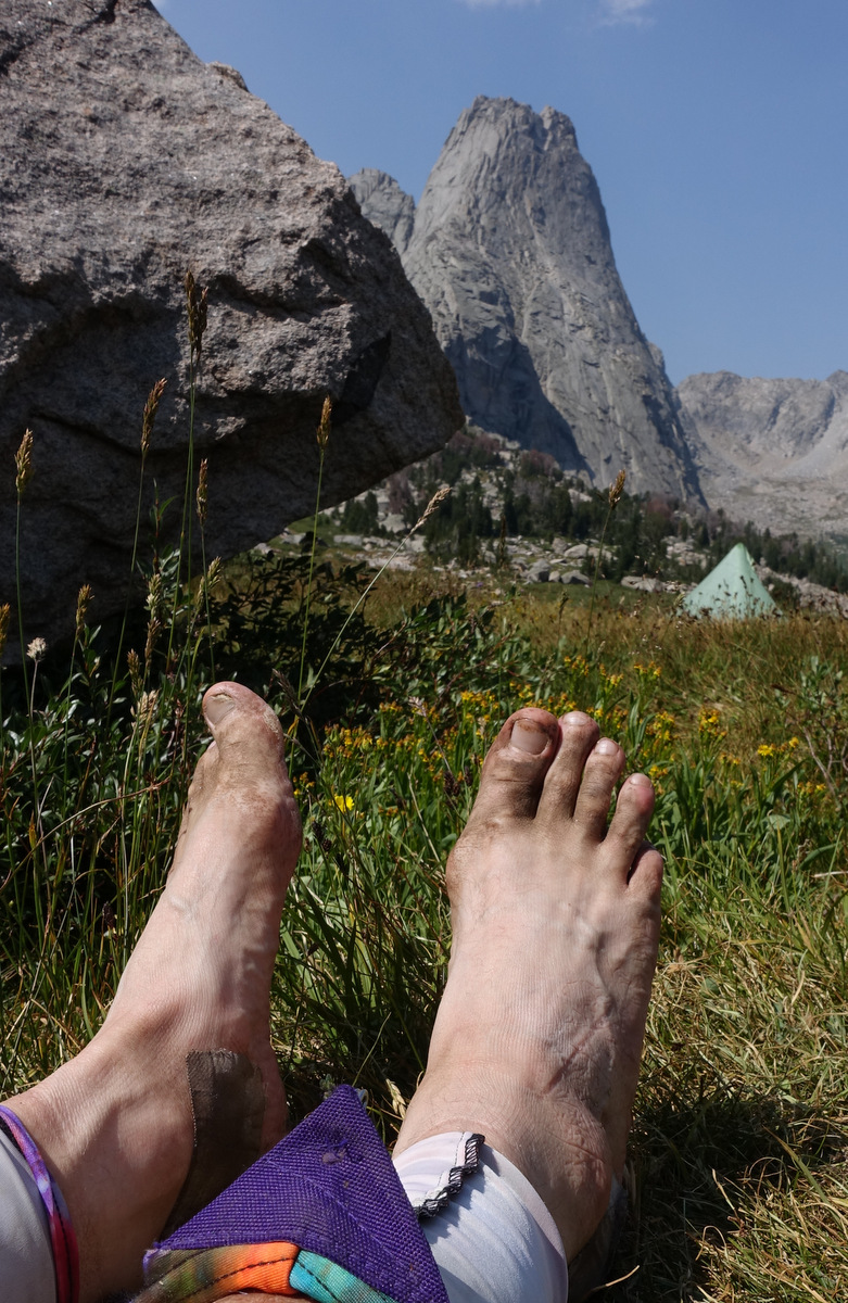
On the Sierra High Route I crossed the lovely Sky Pilot Col – several miles of death on a stick talus hopping – this morning’s job is nowhere near as bad (good – right) – but it is enough and I have the scars to prove it.
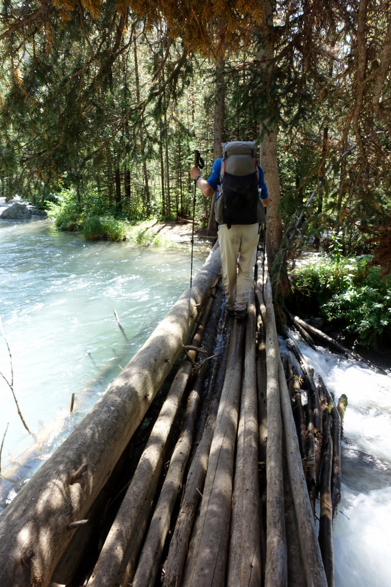
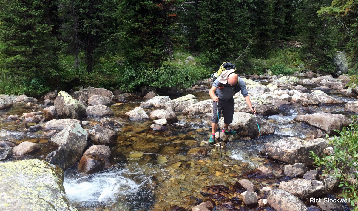
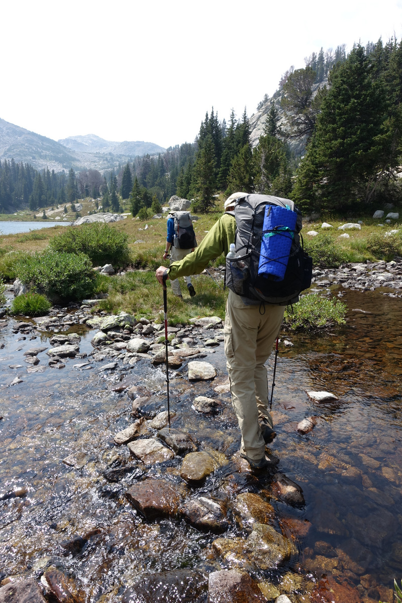
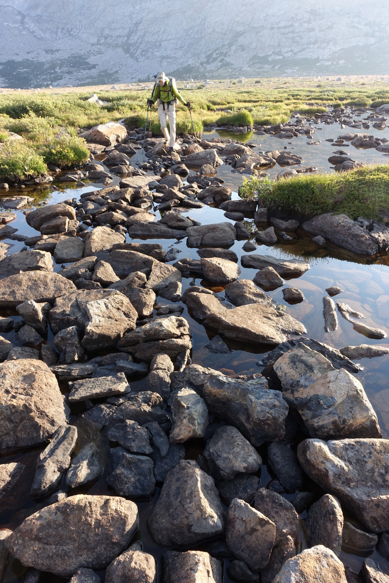
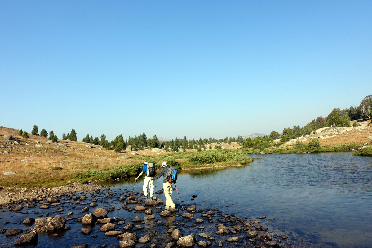
Fording the Northerly Peak lake outlet is easy, negotiating the ‘rockfall we did not know about’ (which is a few years old if web accounts are anything to go by) was a little more slippy….
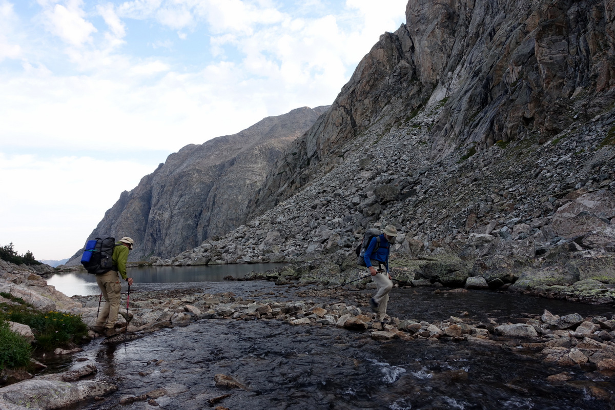
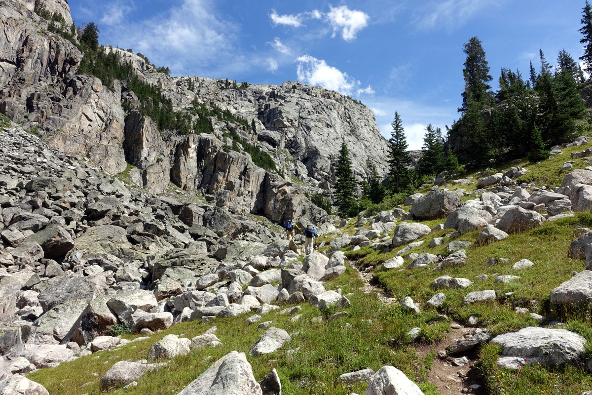
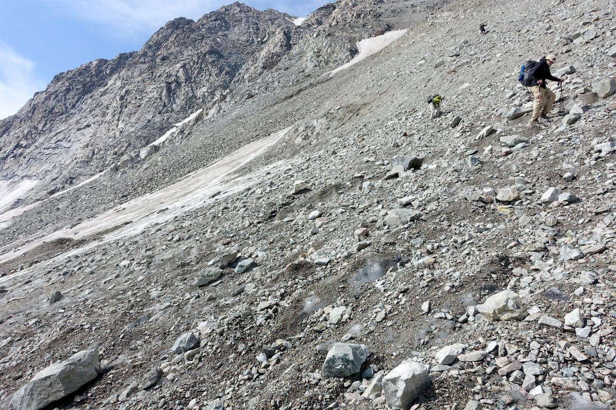
But there we go. Now to wend our way up a 2,300’ climb at altitude (am I laying it on thick enough here?) over boulders is all we have to do….
Rick contemplates our fate….
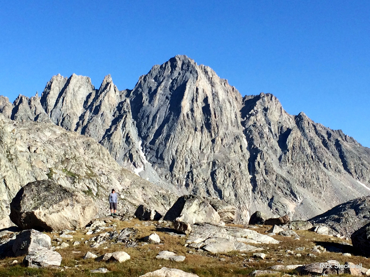
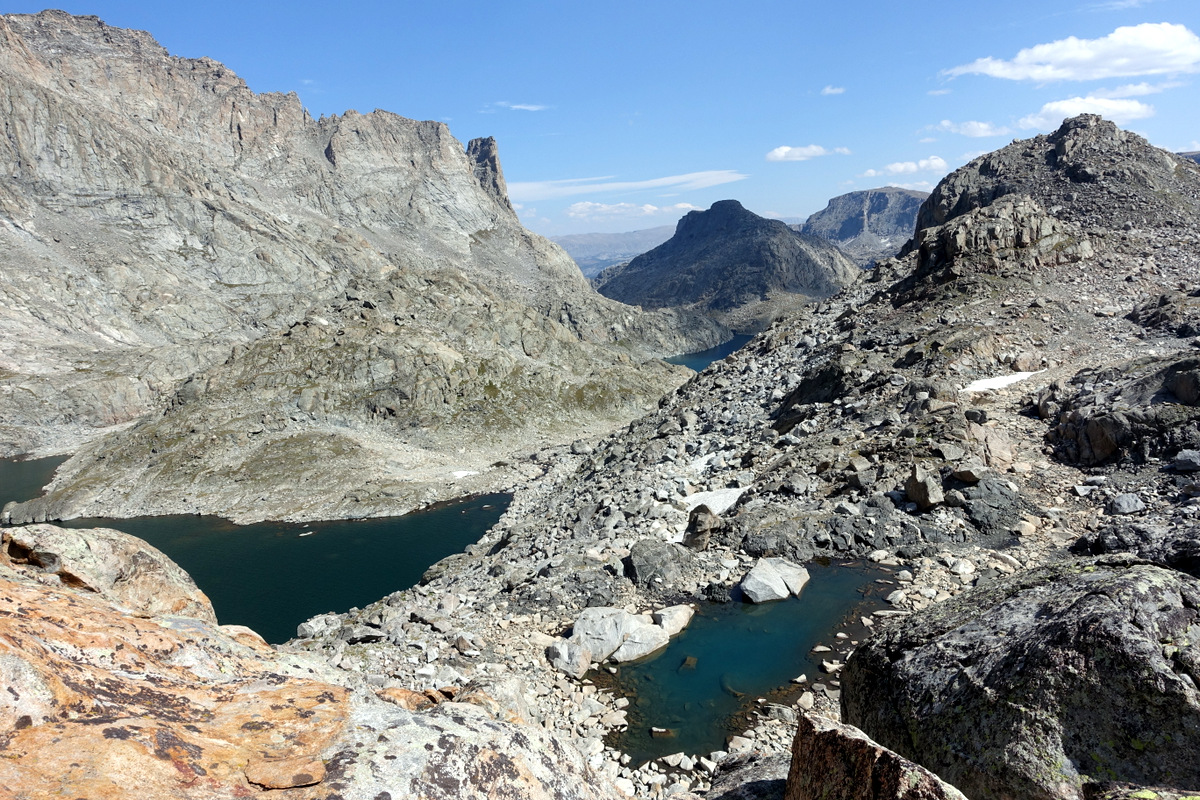
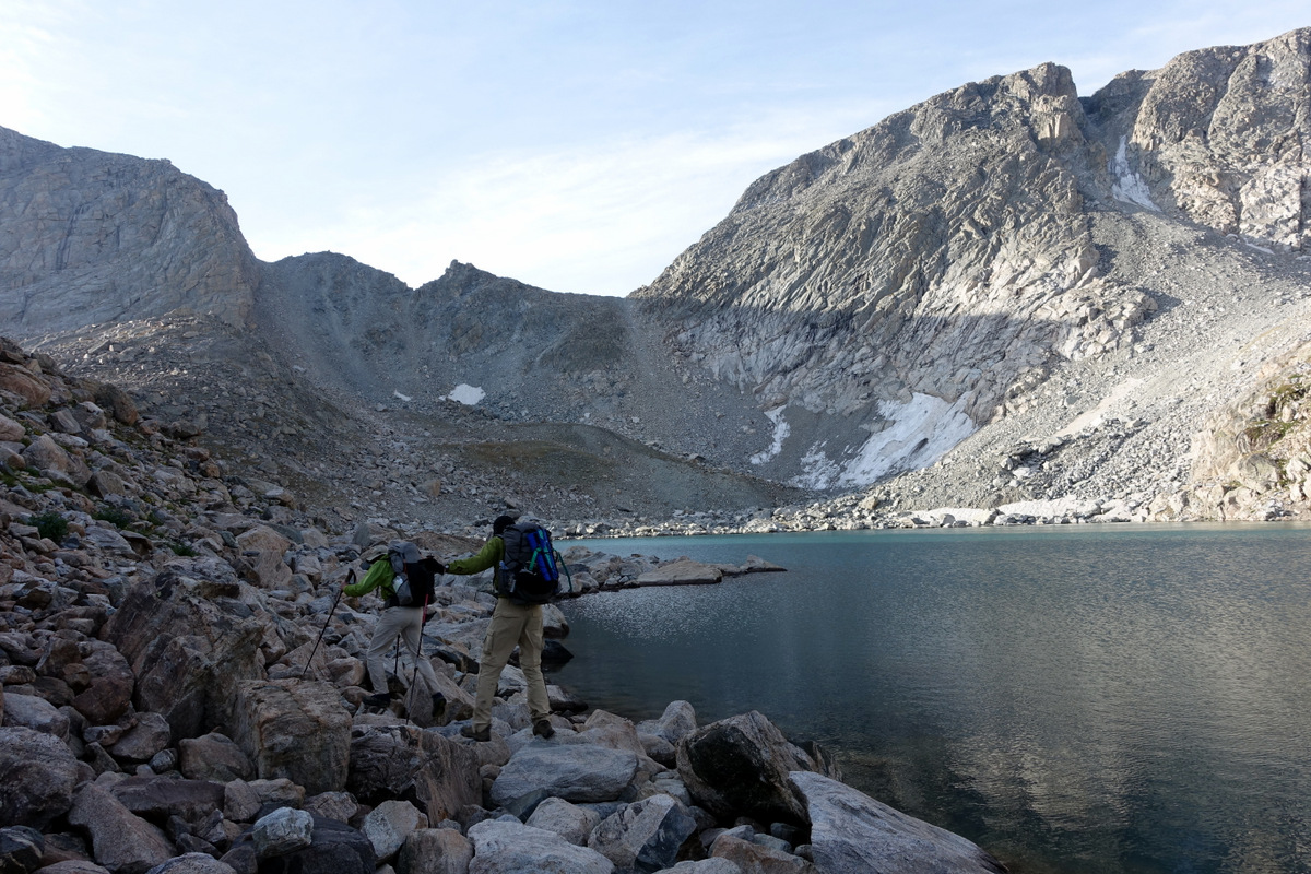
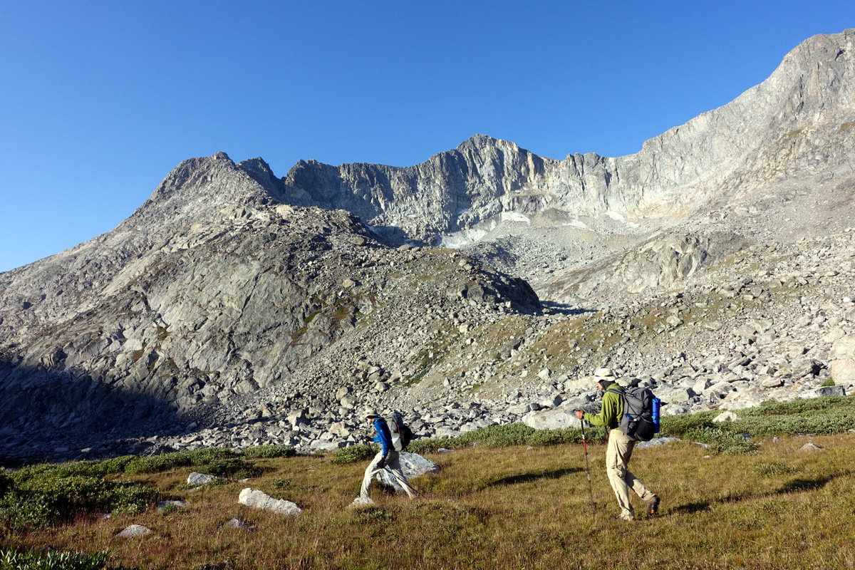
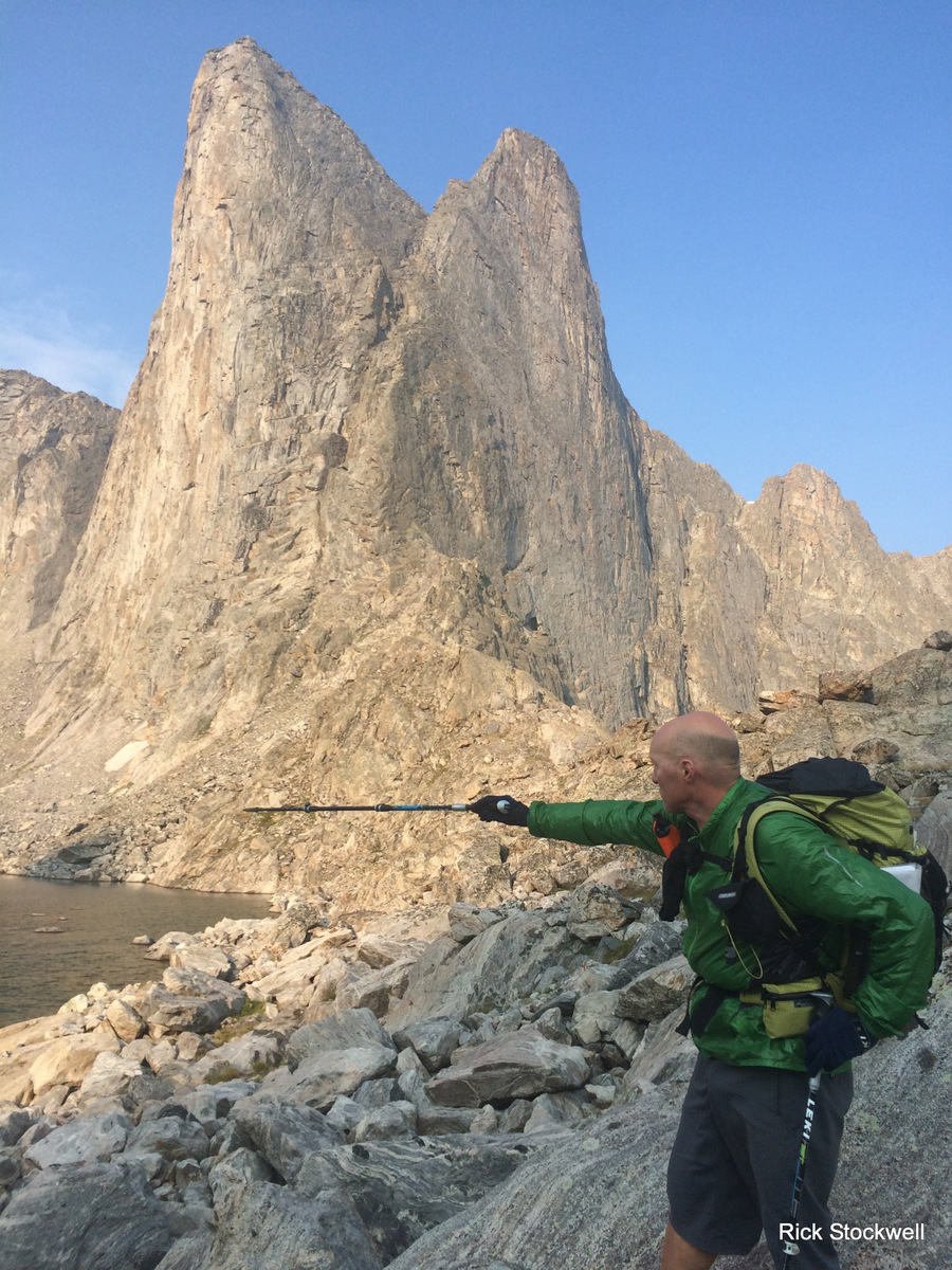
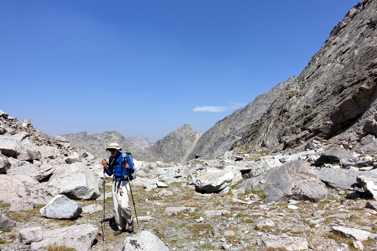
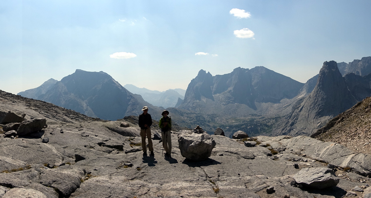
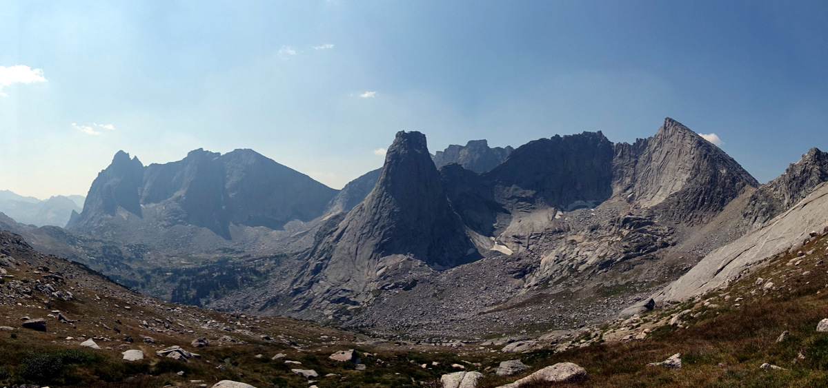
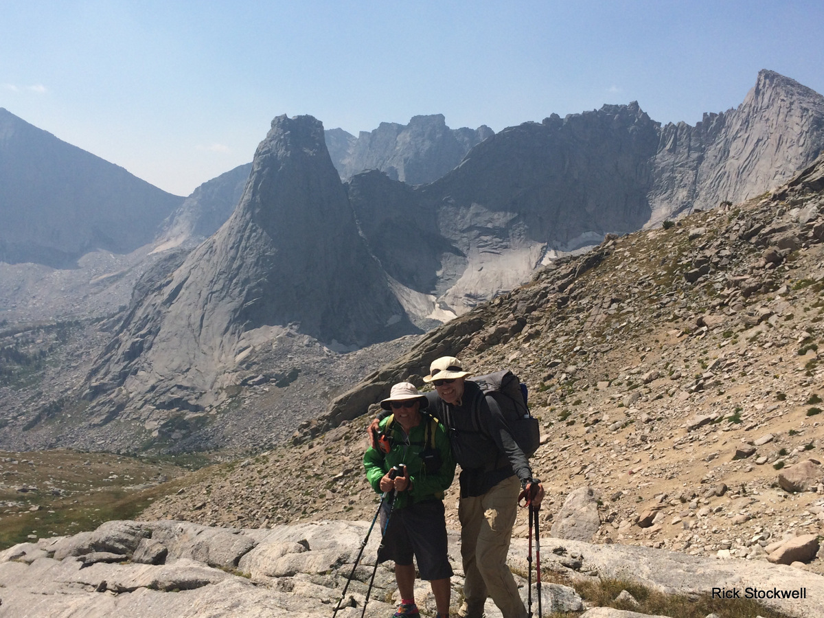
Knapsack Col is dead centre.
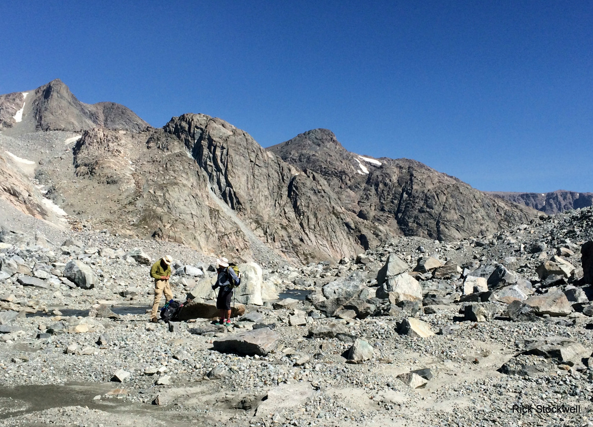
The chaps contemplate the joys of no path……we have also just encountered a hiker who appears to be devoid of common sense…or personality. Later Rick expands upon this fellow in a caustic manner that sees me warming to him anew.
Water is taken at an area ‘cobbled’ flat by the pressures of winter snow; these pavements abound and are rather good fun to walk on.
Passable scenery….outwith the 6’5” behemoth centre stage.
This is hard work. Hard work.
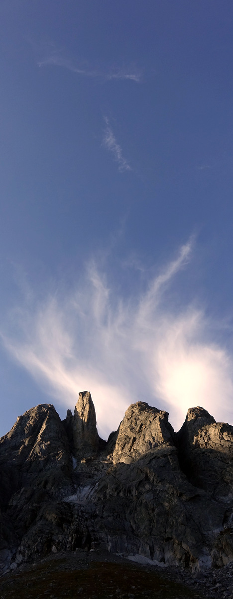
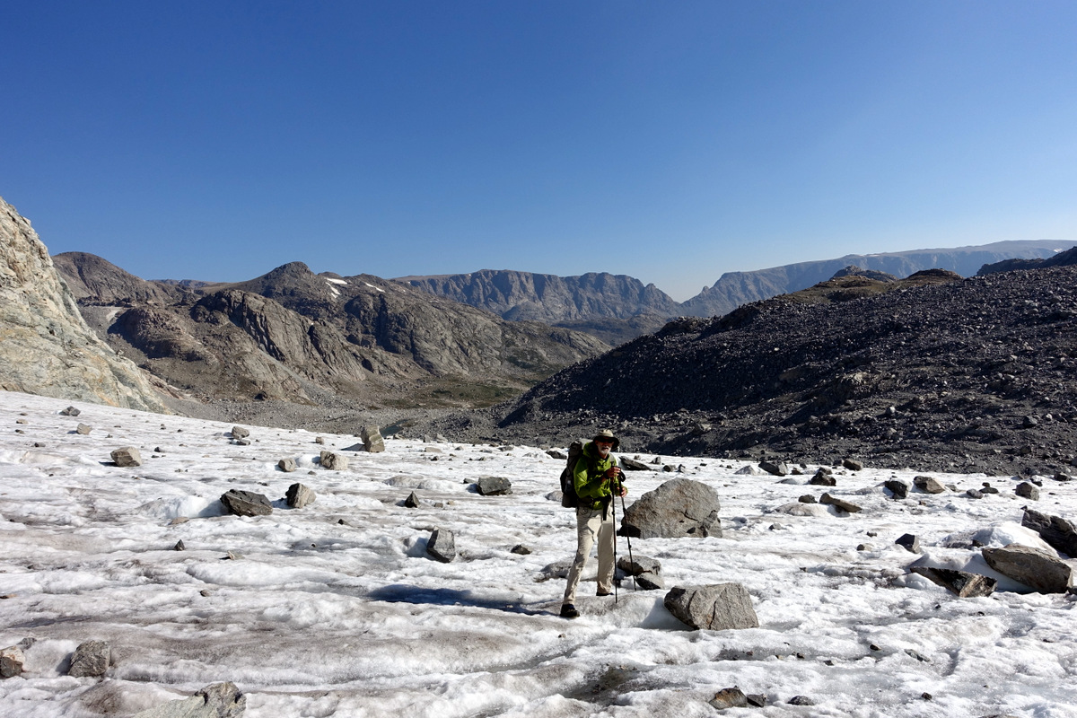
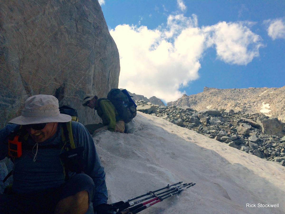
We are amused by something at Knapsack Col (around 12,200’).
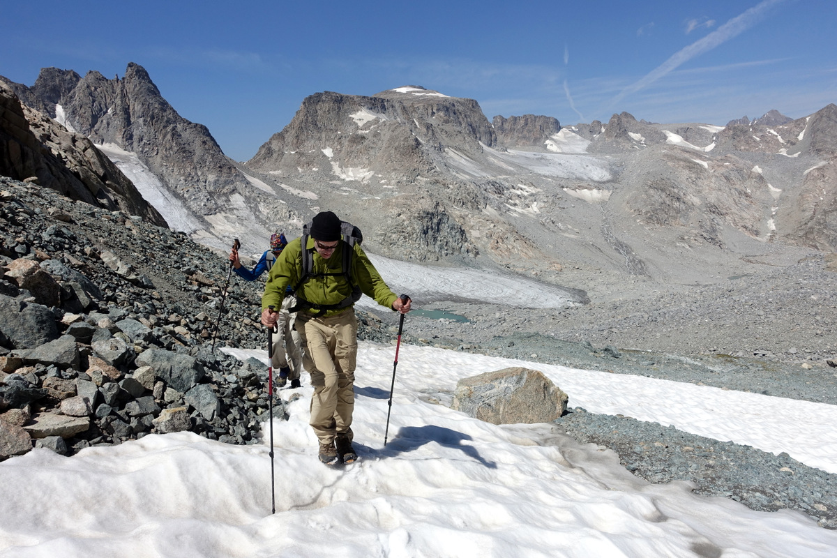
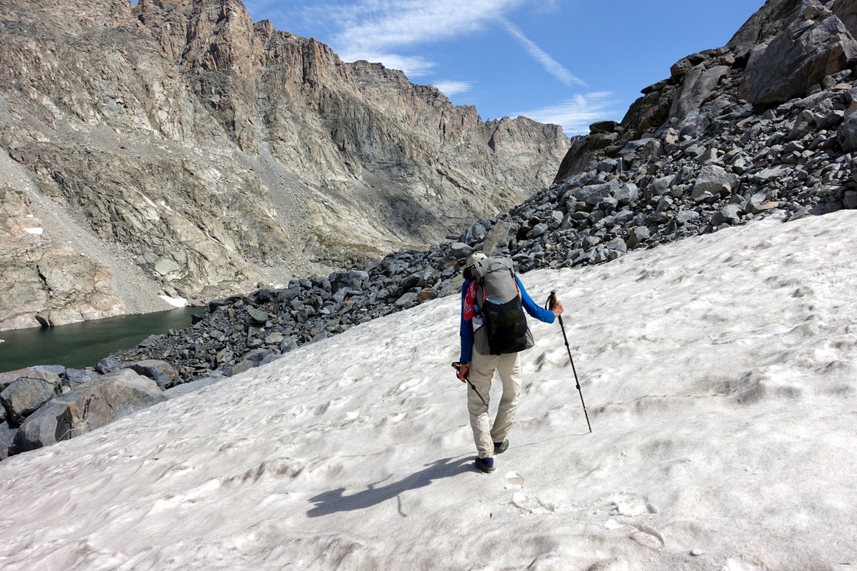
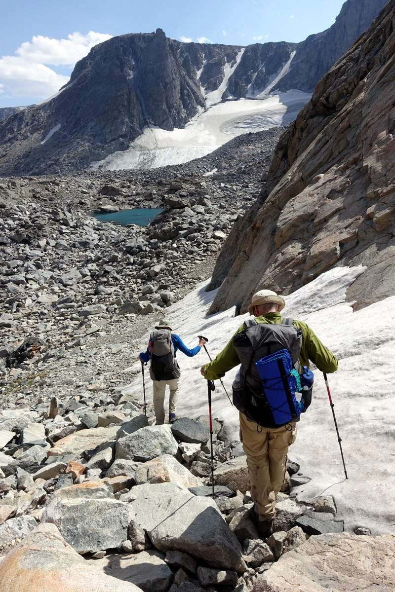
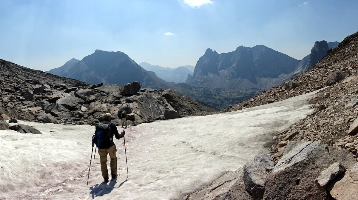
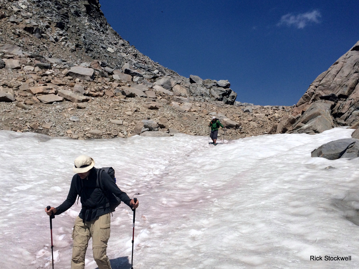
Post a snack…squeezy nut-butters being to the fore with the Tall Men…we descend on snow then (treacherous – think clumsy) glacier remnants covered by rock dusts.
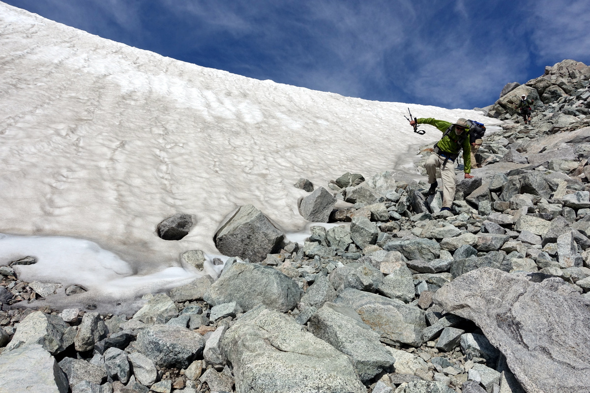
It’s steep…perhaps dangerous. I seem to be the one who goes first…(no prodding with poles was required).
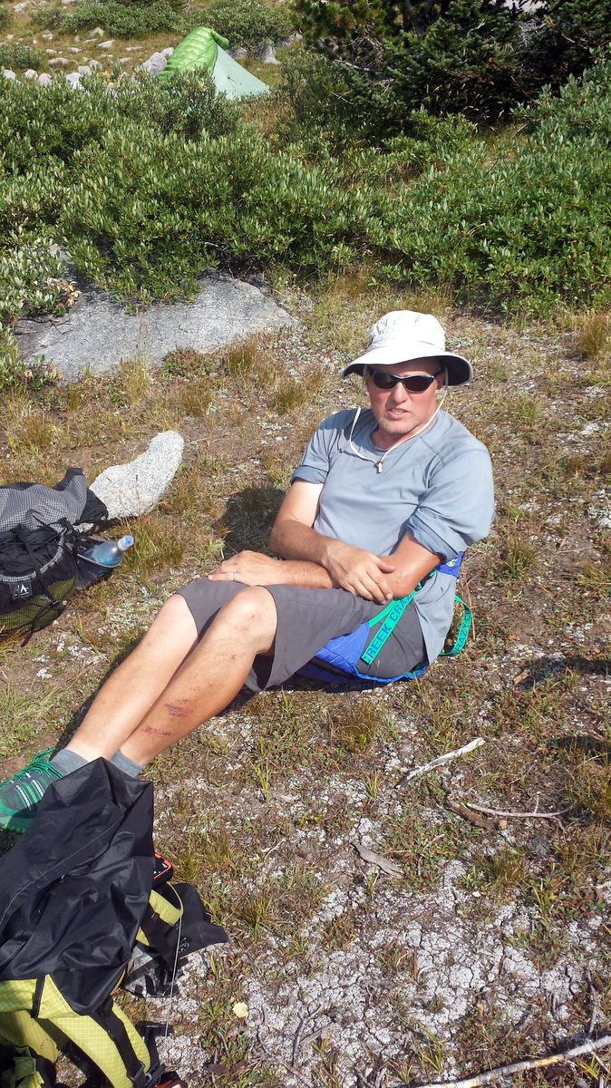
Happily out of camera shot I slip HARD on the covered ice. Ouch. First aid kit? Don’t carry one. Ah.
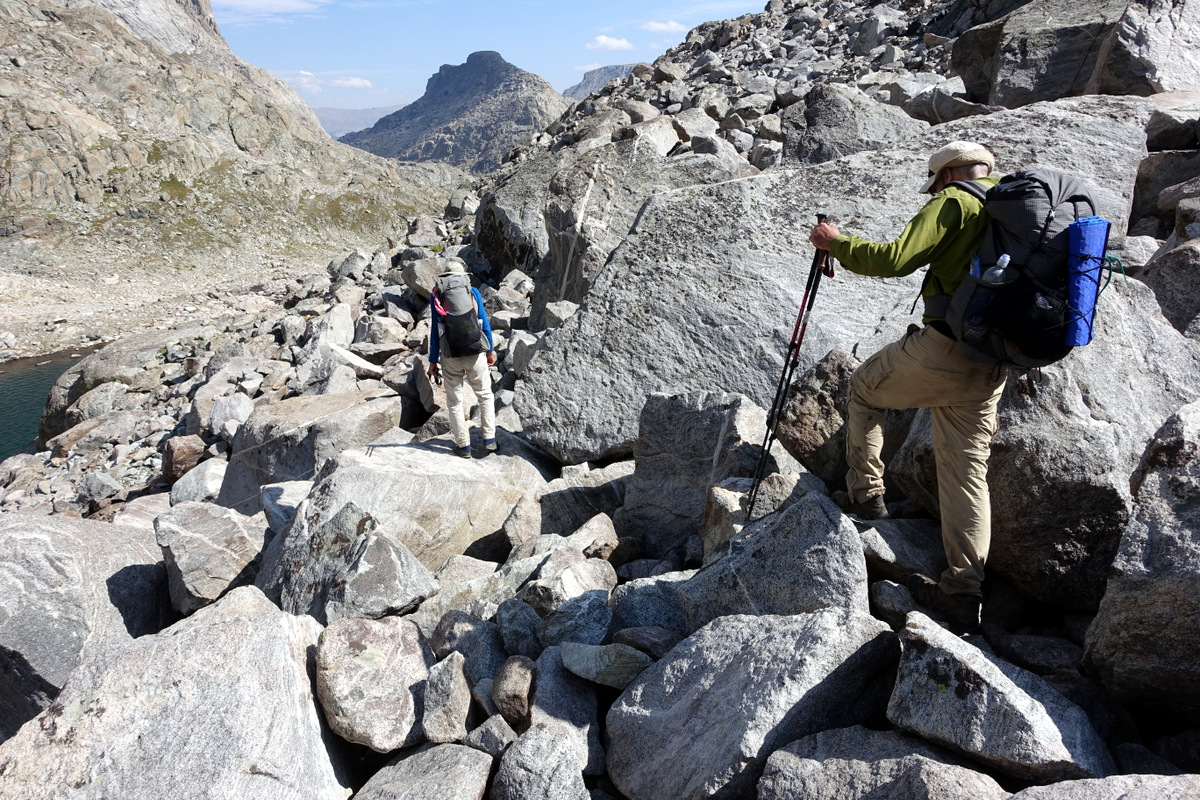
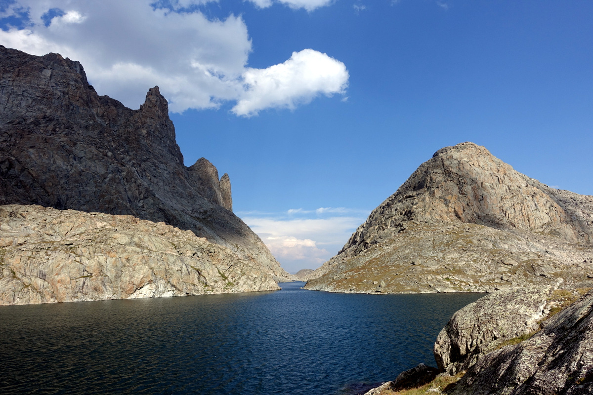
There is a fair amount of this to navigate ere we grace the wilds of Titcomb Basin.
Rick – revealing a callous streak for which I have much admiration wanders up…not to enquire as to my health…but to take a picture of my ghastly wound.
Pretty deep. Being a real man I scrub it with glacial sand of the wet variety to get the **** out…or put it in. Rinse with cold water. Leave.
You don’t need First Aid kits…the scars are lovely by the way.


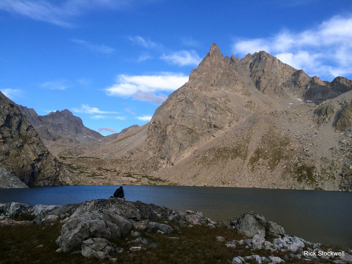
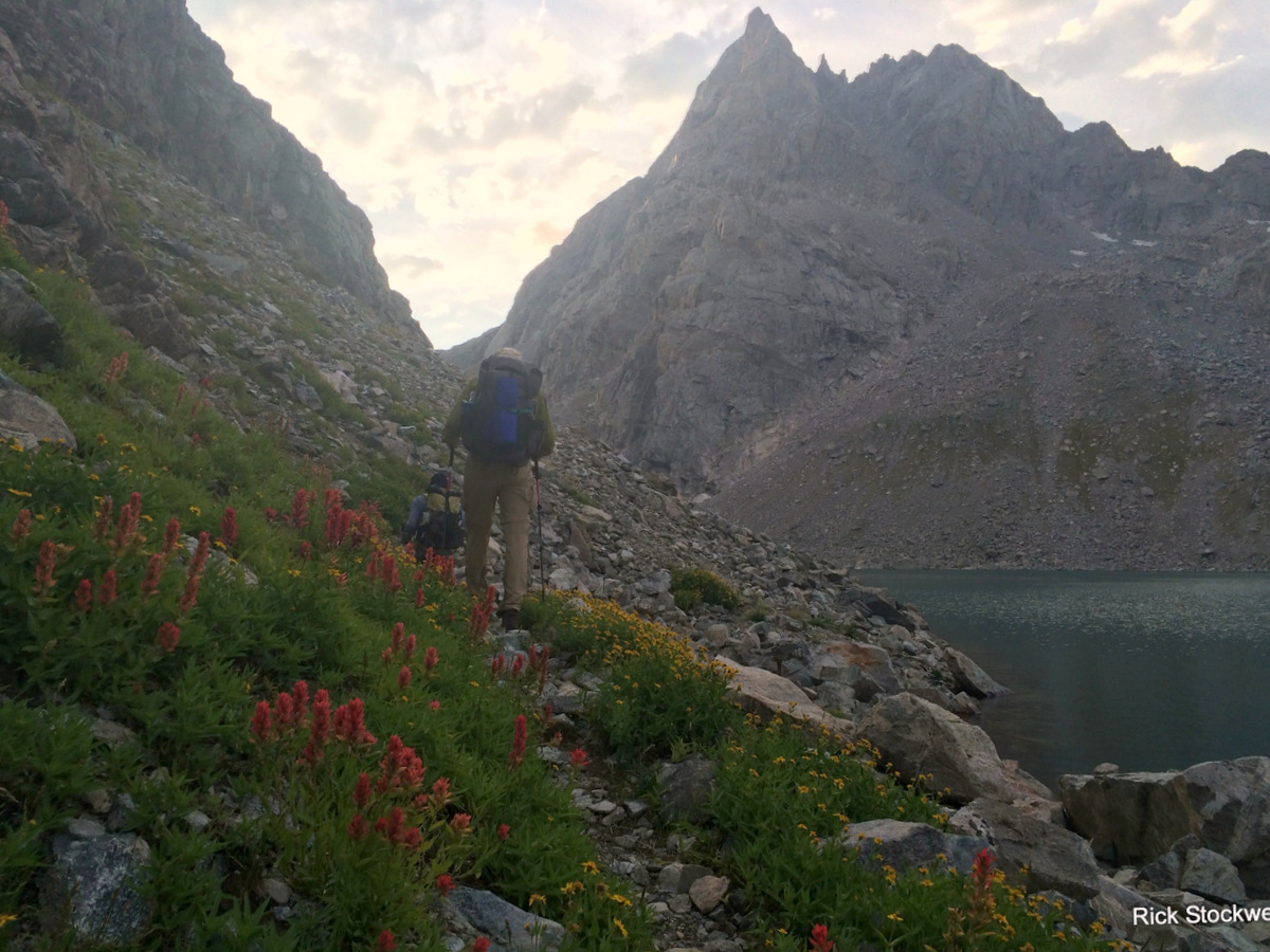
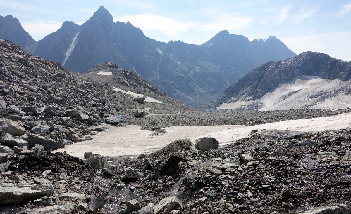
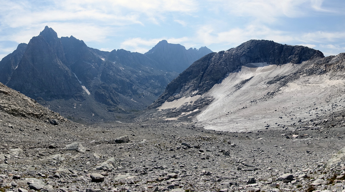
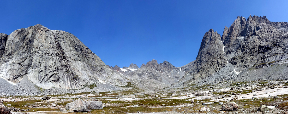
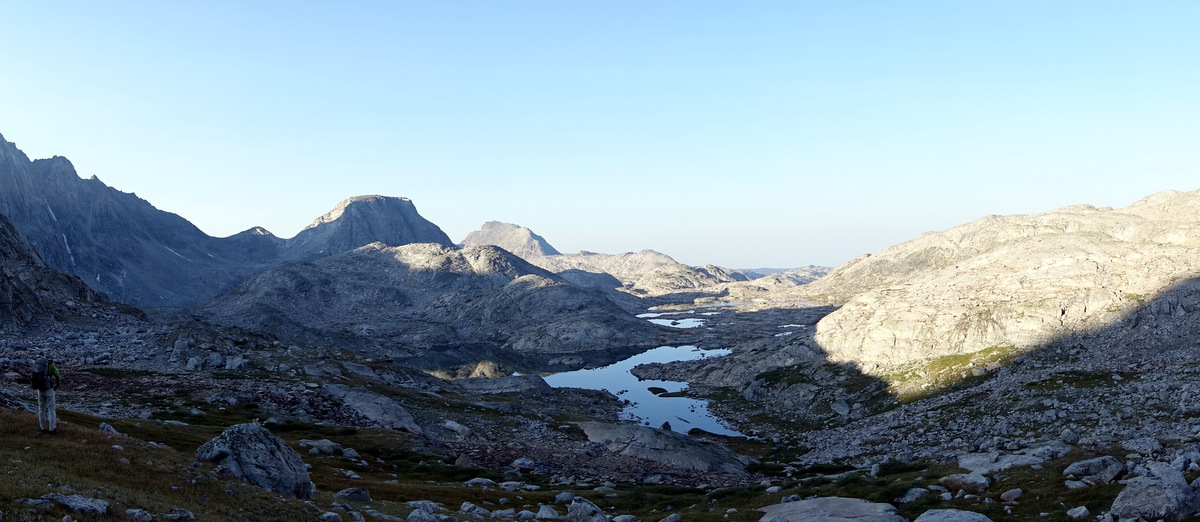
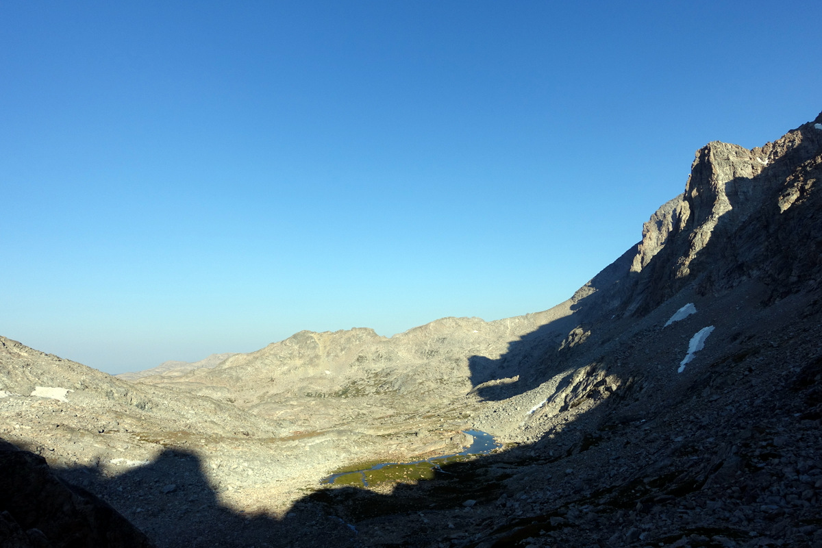
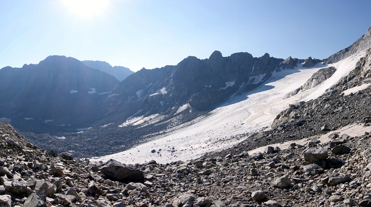
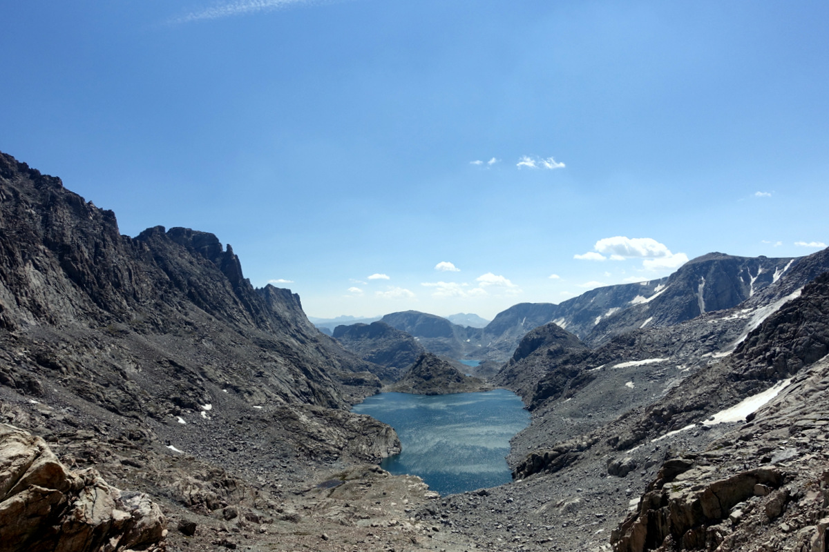
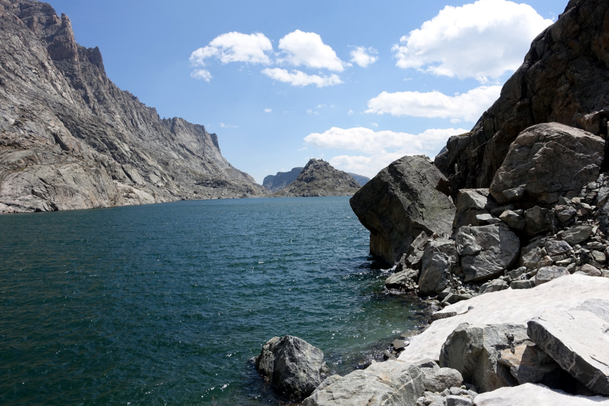
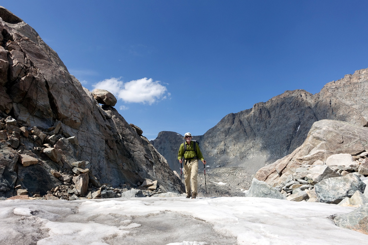
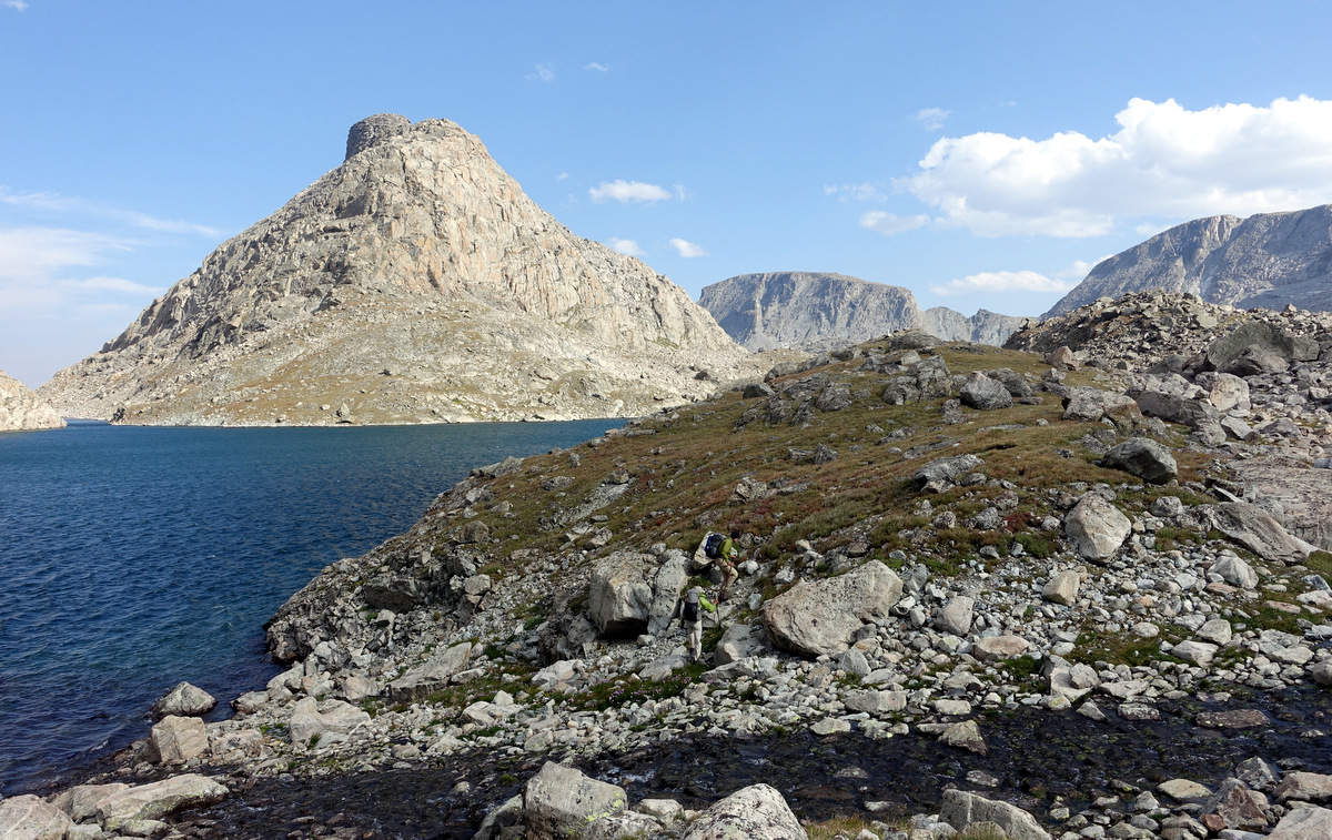
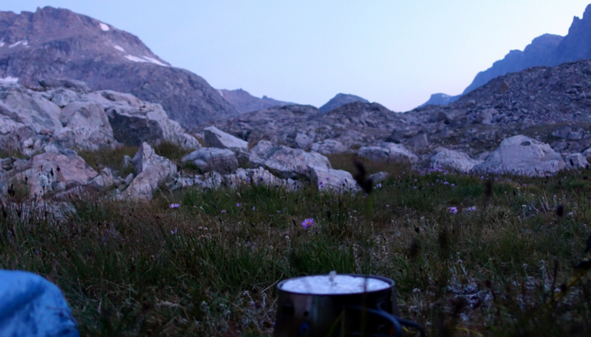
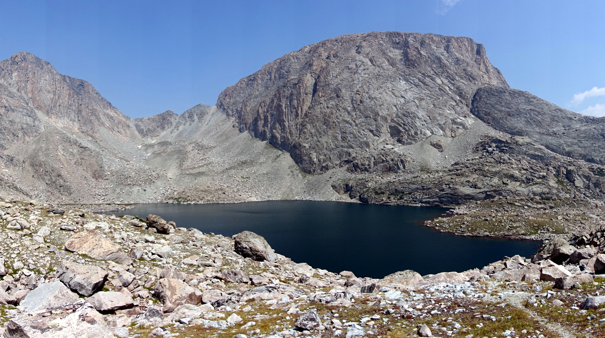
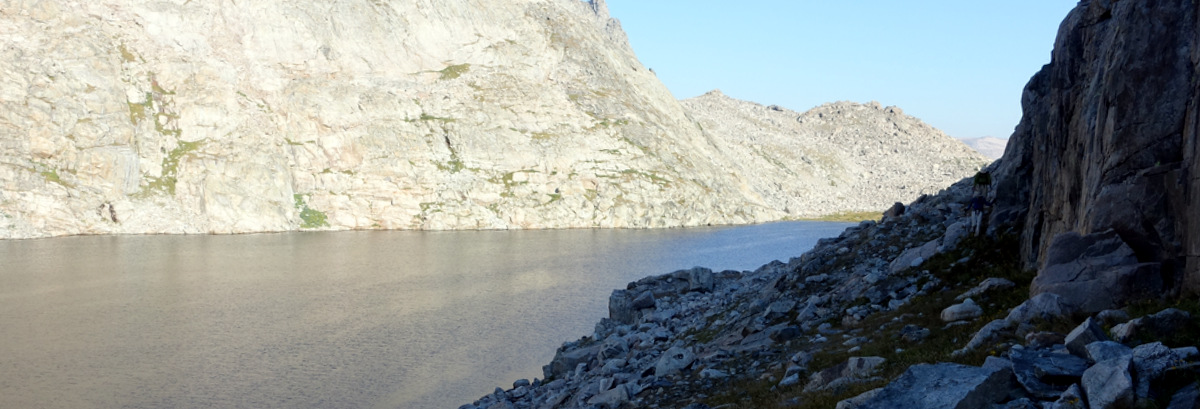
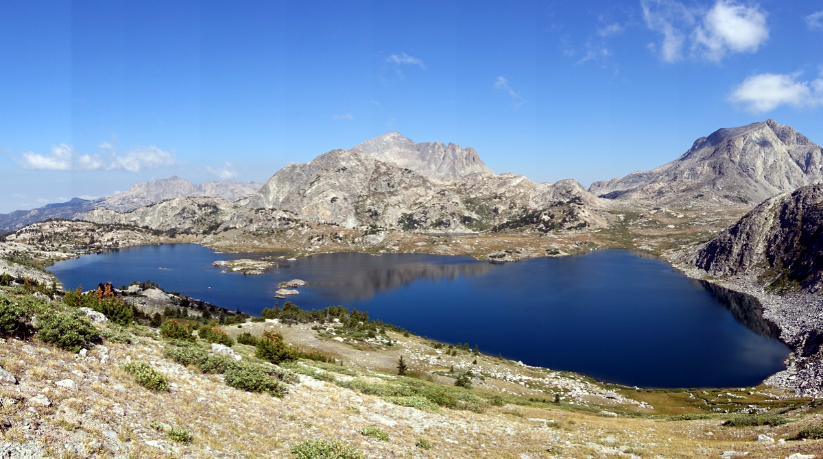
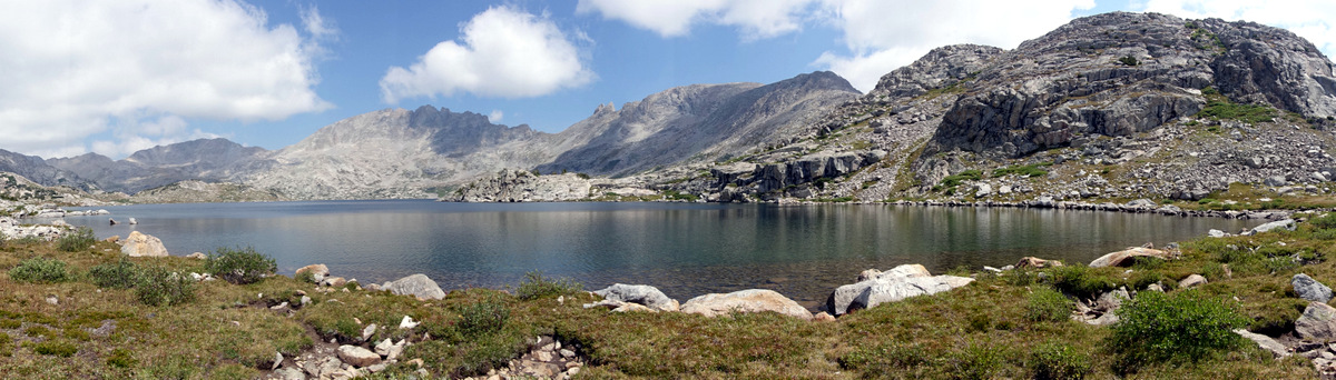
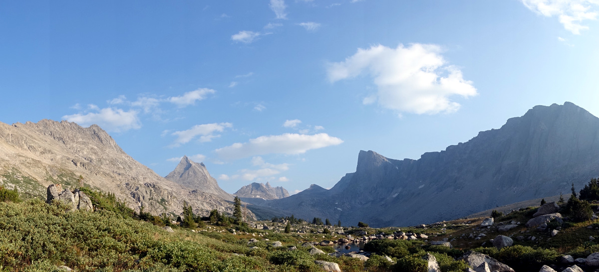
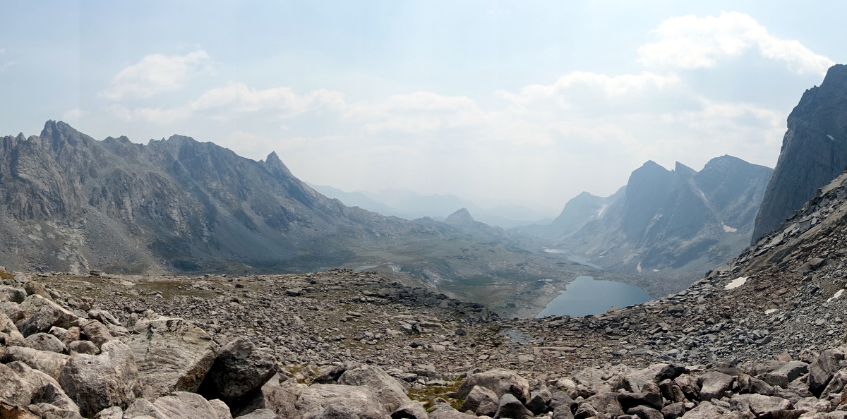
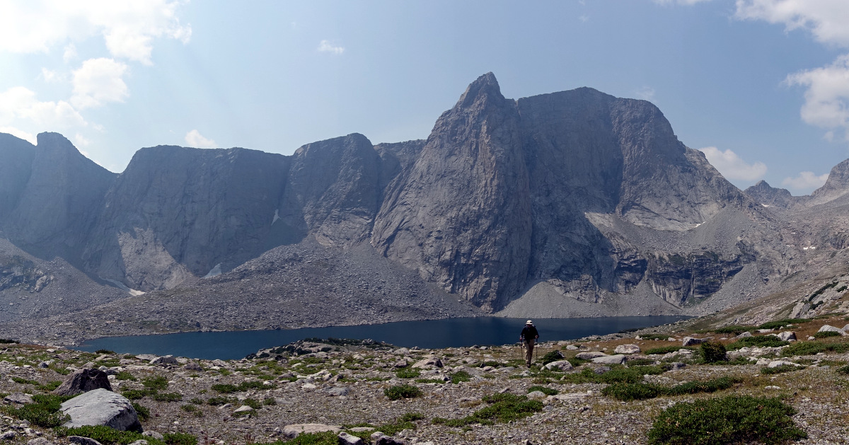
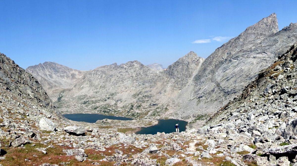
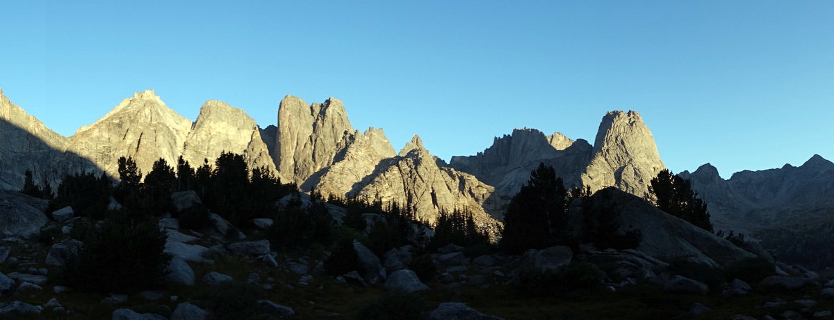
It would be great to tell you what Titcomb Basin is like but I can’t. A vast amphitheatre of flat granite, edges, blueness of lakes and sky opens up; it is grandeur on an almost infinite scale.
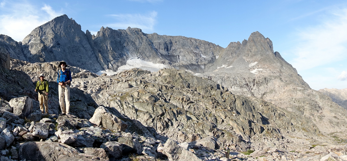
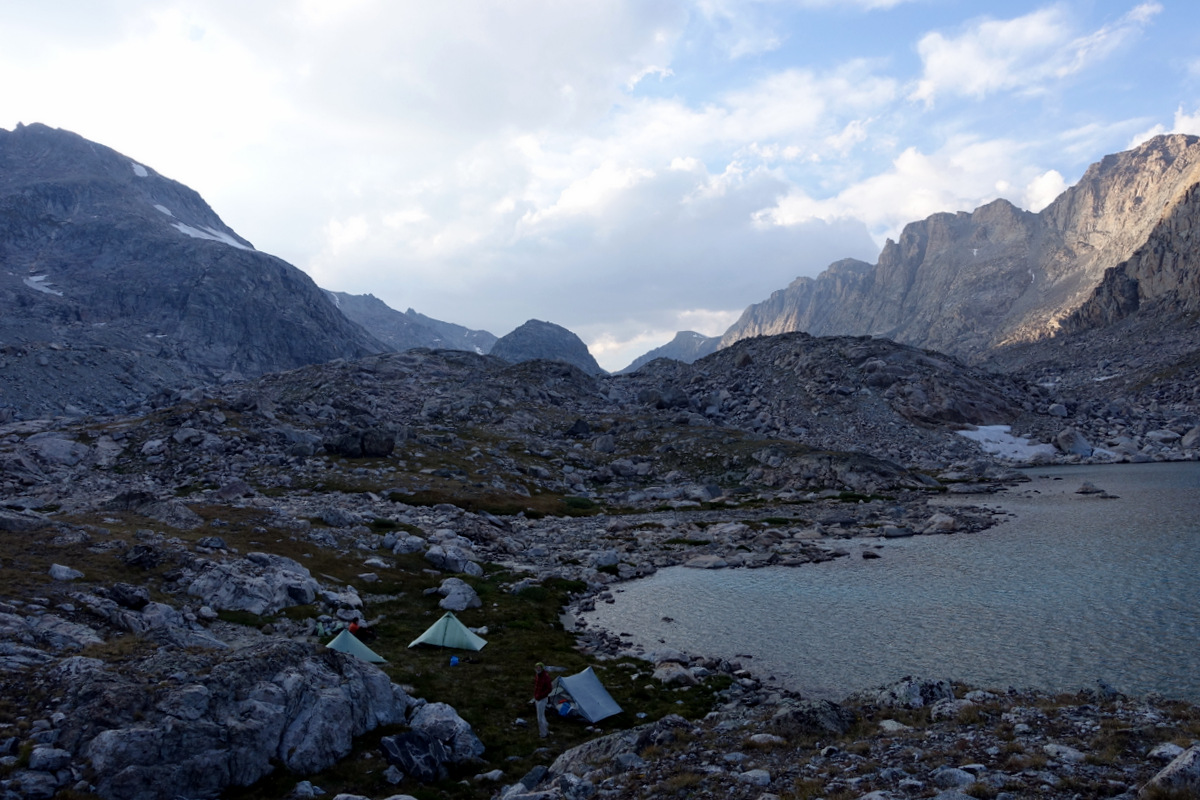
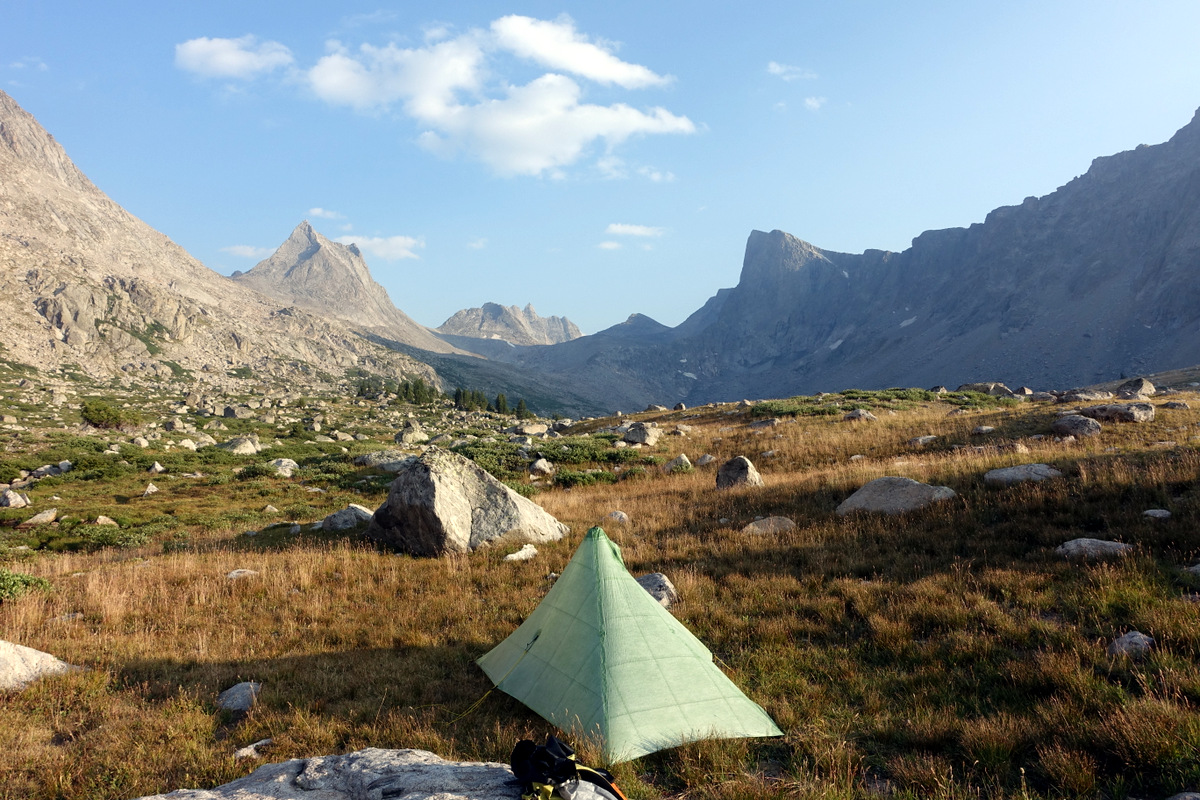
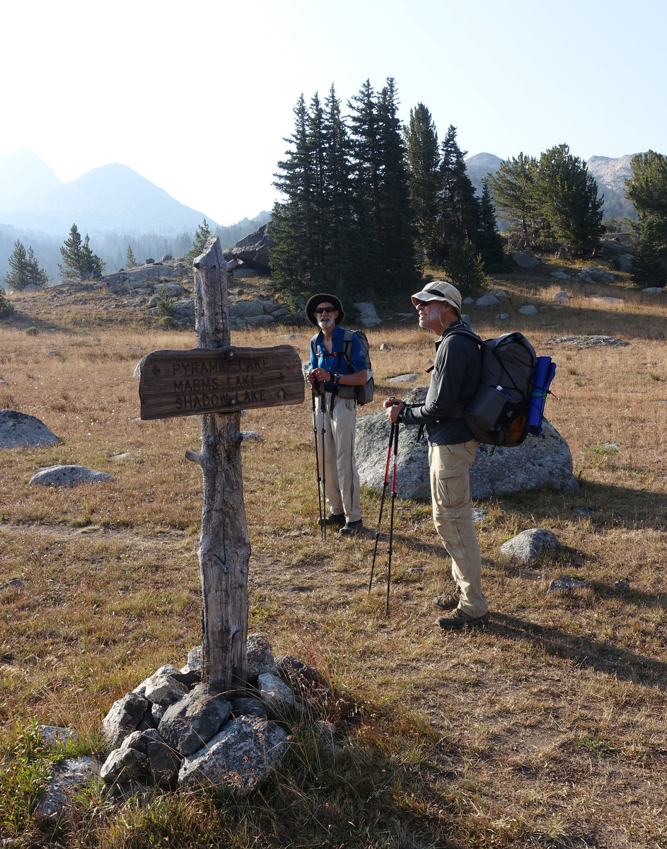
Indian Lakes basin is as good if not better than Titcomb…we swing ‘off trail’ on use* paths into a landscape of lakes….wander a bit and pitch near one – tomorrow is going to be a hard day we think; had we but known…
*a path that develops as it is a natural line and it is ‘used’ (sic) by people; sometimes better than the trail itself.
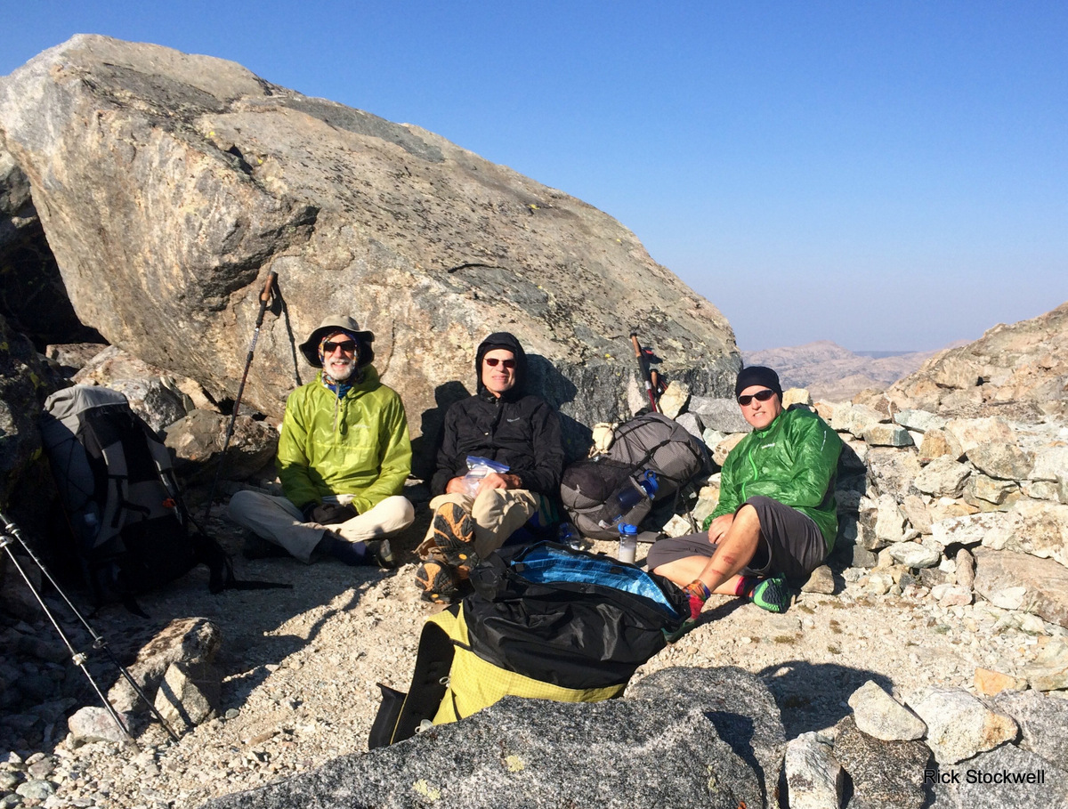
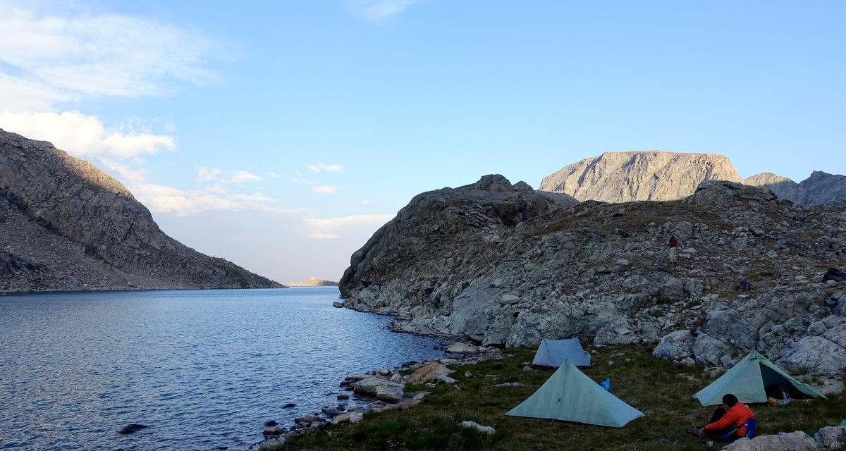
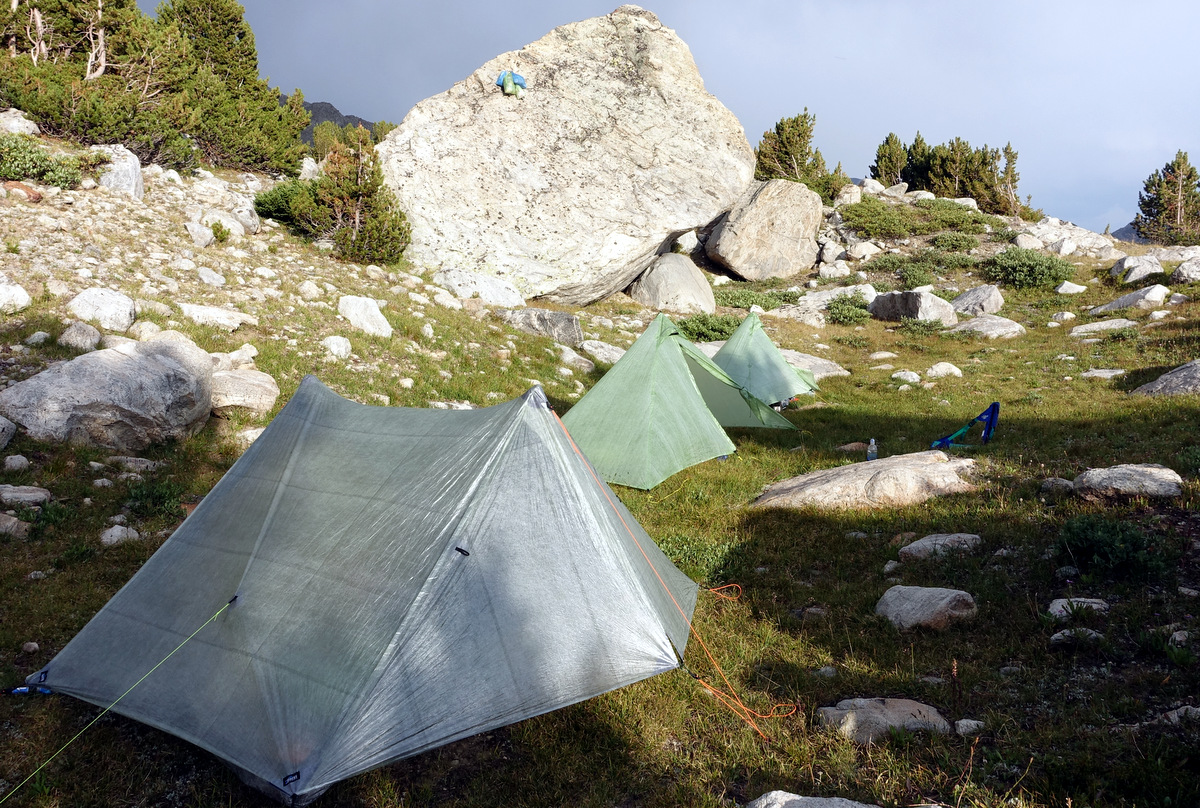
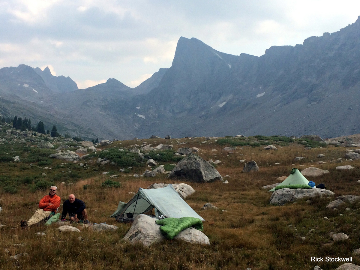
Three cuben shelters sitting in a row.
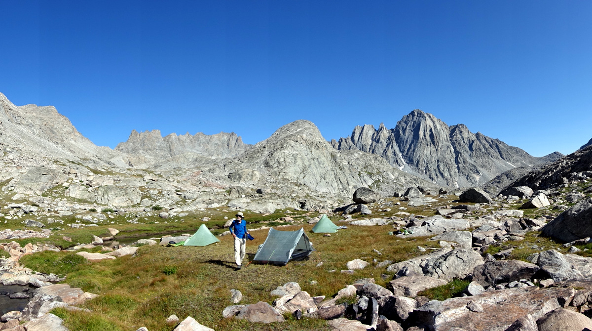
The backdrop is Femot Peak – a popular 13,000’er
Mr Hollywood
Mr Splinter
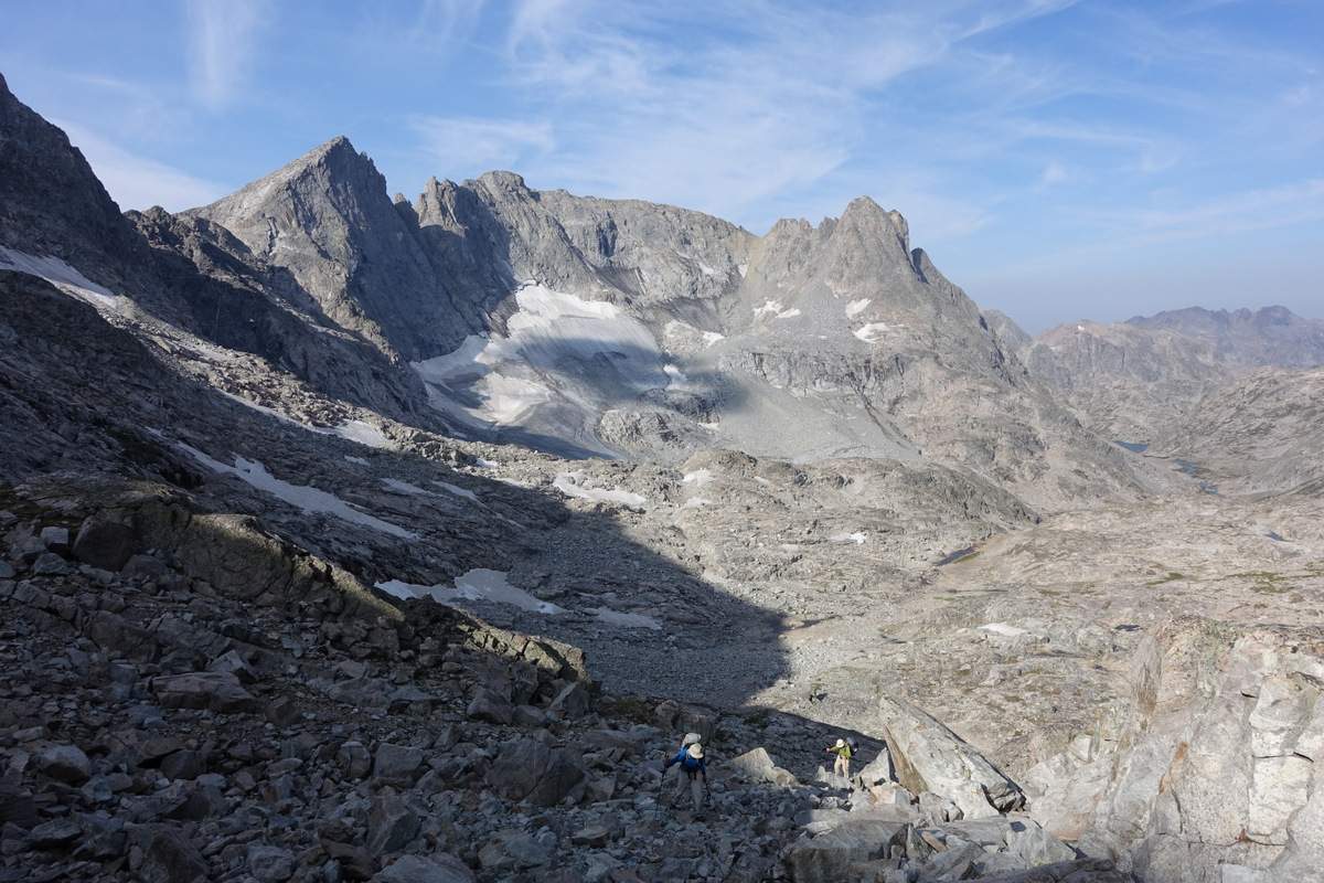
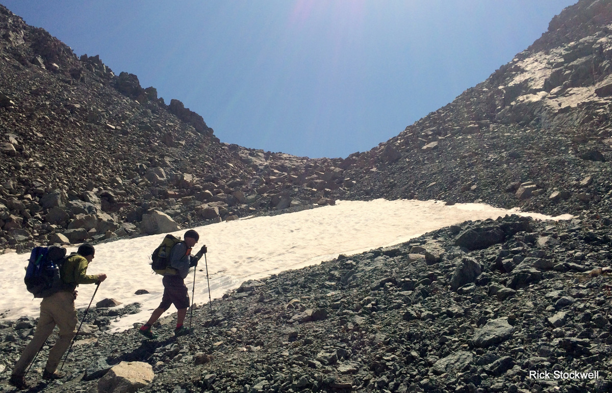
The third day – thirteen hours to cover fewer than seven miles


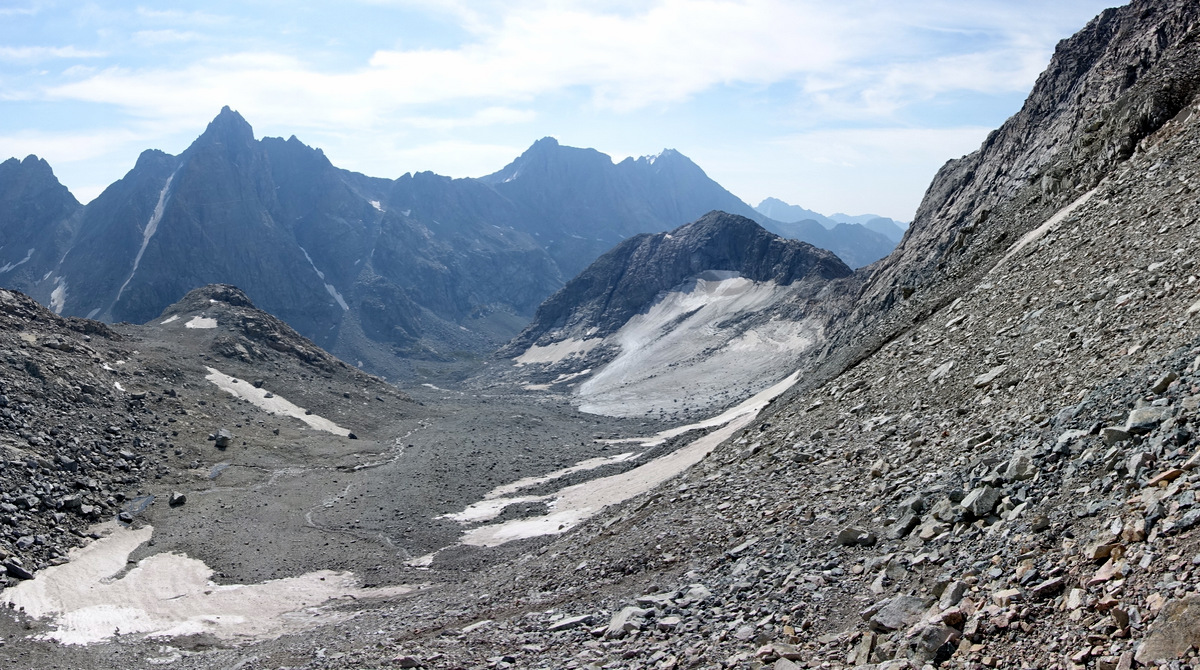
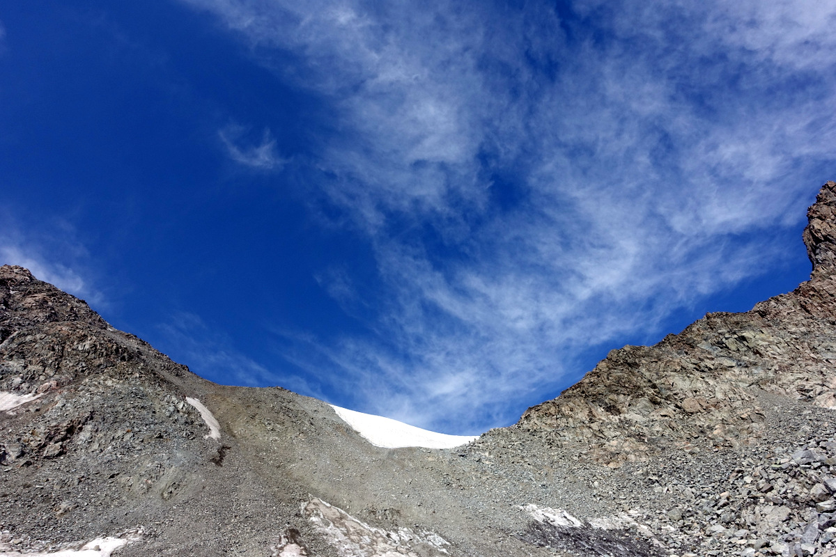
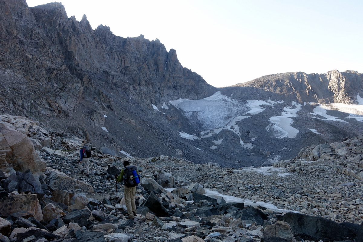
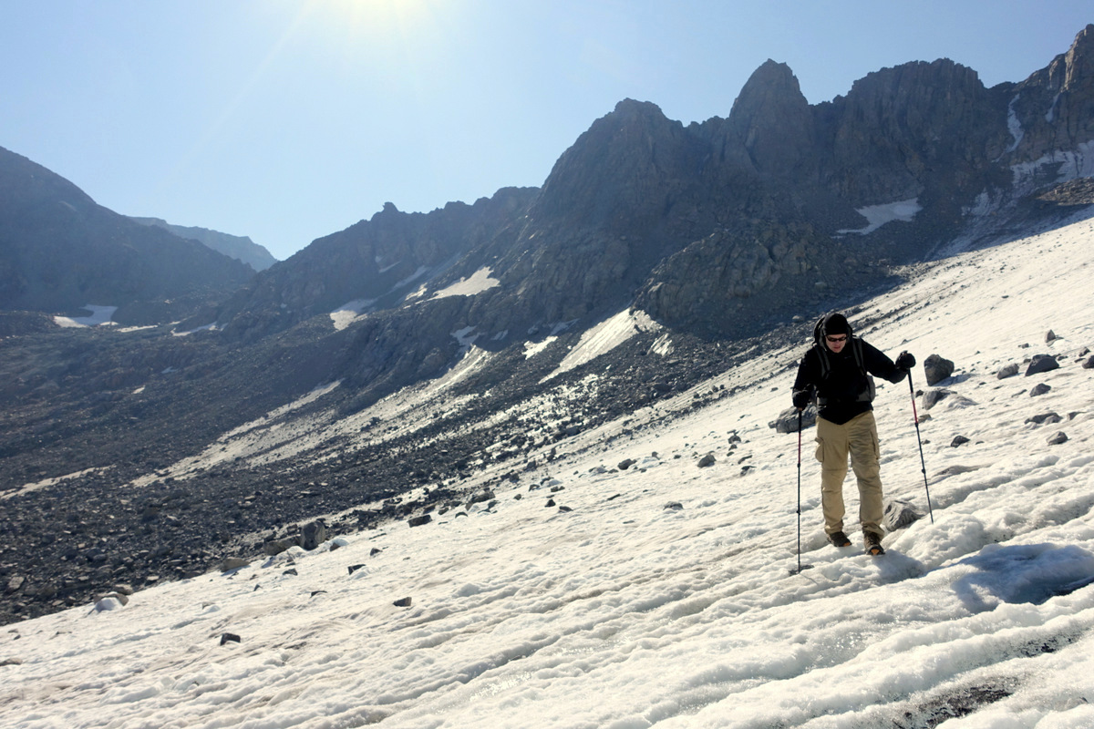
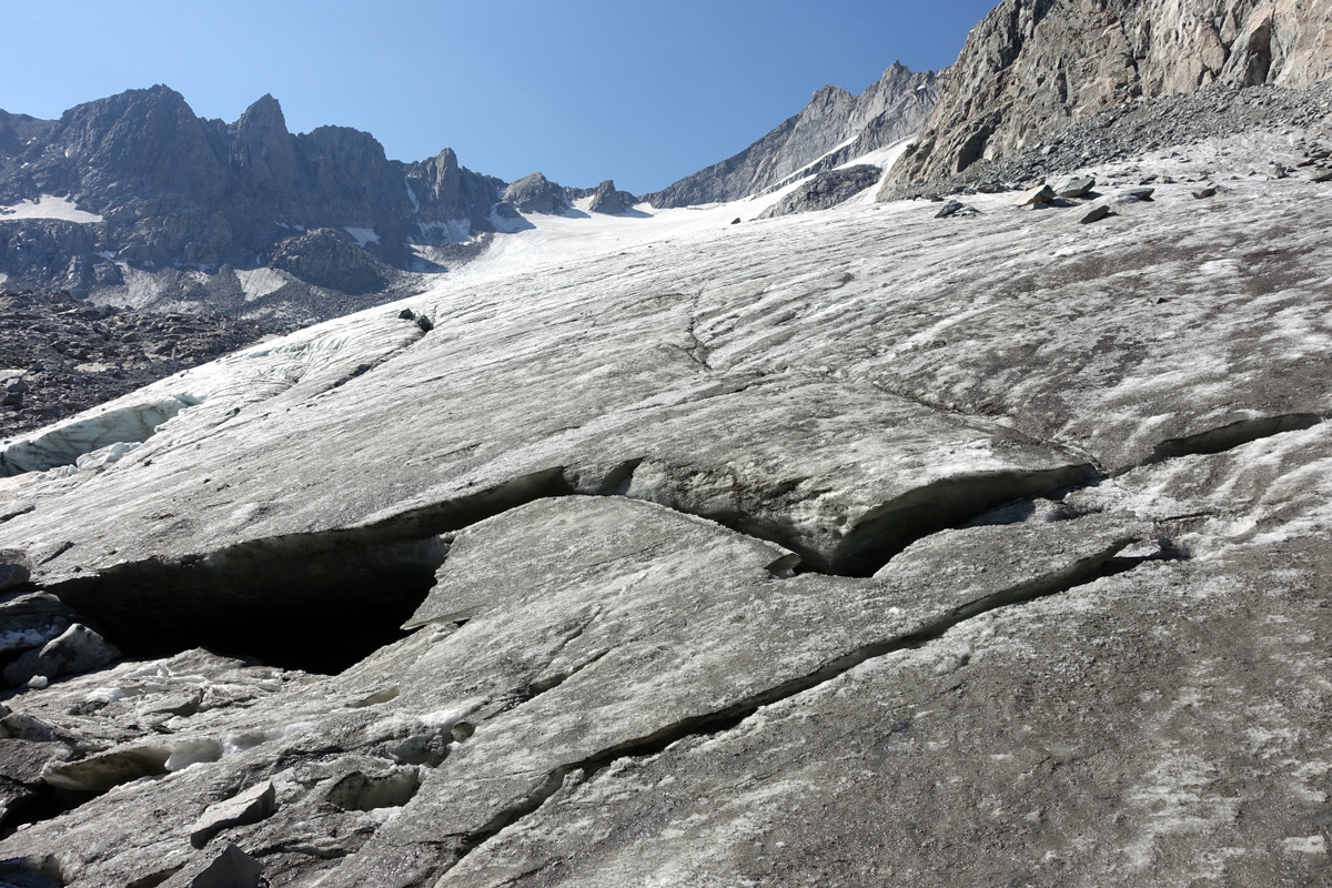
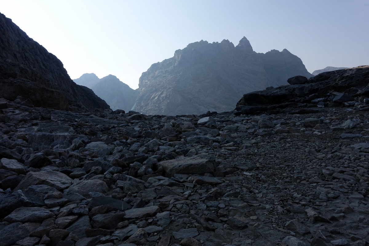
Indian Pass and then Knifepoint Glacier. Oh.
A comfortable wend up to the pass through shallow ponds and volcanic dykes – black lines cutting through the granite; to the horizons a cirque of jagged peaks and tired glaciers.
Towards the light…

The happy band. If only we’d known.
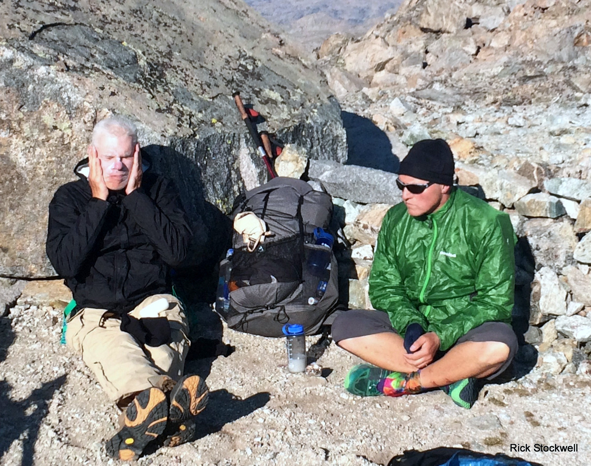
Mr Angry and Mr I don’t want to hear it.
Pete is actually decking his craggy visage with suncream – which meant he smelt like a lemon all day – by Day 6 I was finding this worryingly alluring.
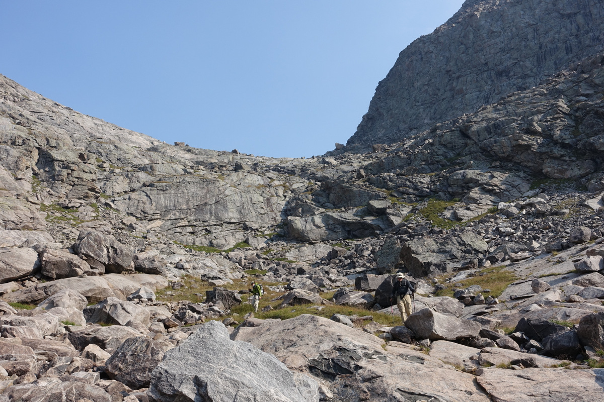
We begin to descend to the glacier over increasingly unstable talus; I’m a bit scared. I’m not often scared, but scared I am. Rick does a fine job of keeping us on track – that helps. A lot.
Onto the glacier…we wander across as confidence increases at the gentle angle and gritty surface.

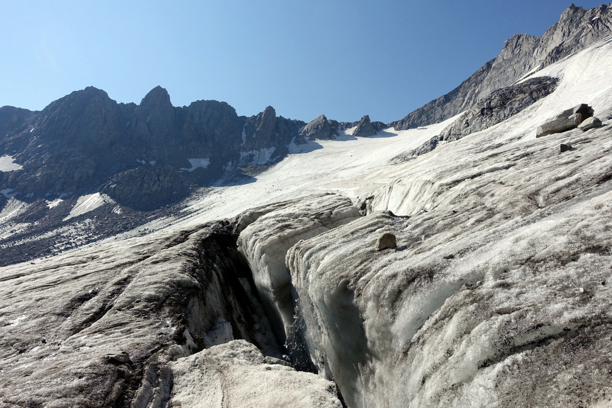
But that white steeper section is going to slap us in the face – quite soon.
Which it does. A no go for all of us. Pere retreats gingerly.
But we still have to move forwards so a plan must be planned. Rick does this, he’s already thought about it (like much of the route) and we are off past a few holes in the glacier down past trundling boulders to fresh fields of emergent talus…it won’t be fun…but it will be safe(r).
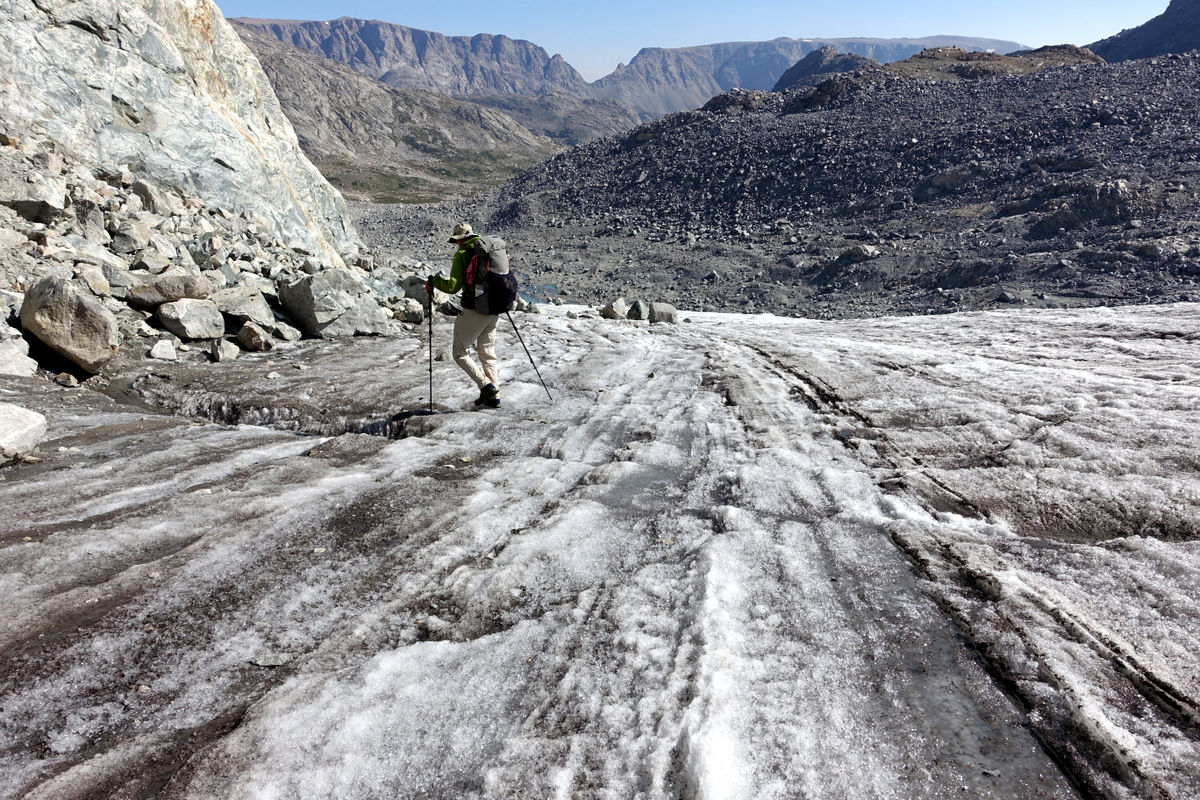
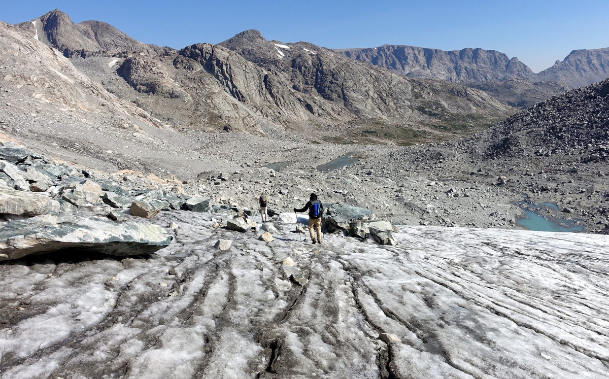
Happy to have survived. I think we were all a little sobered by this experience?
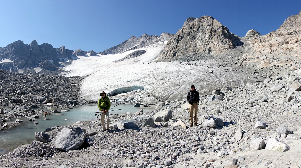
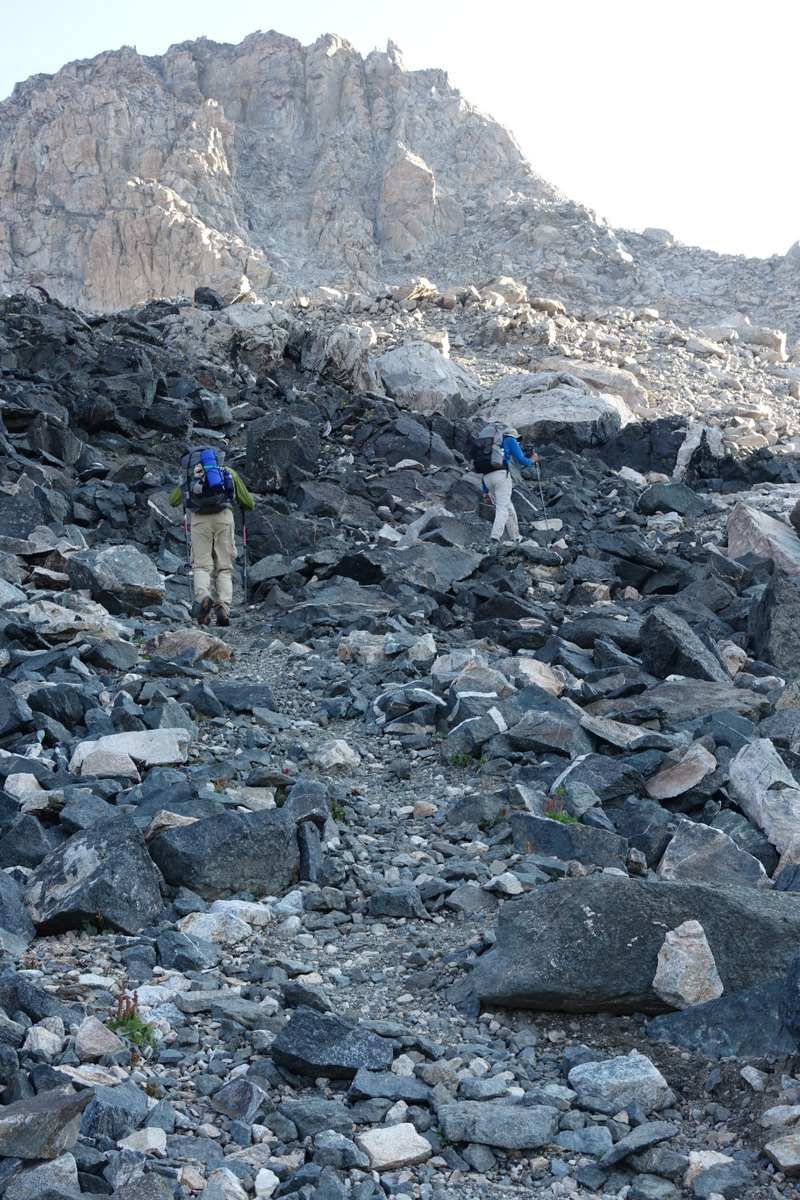
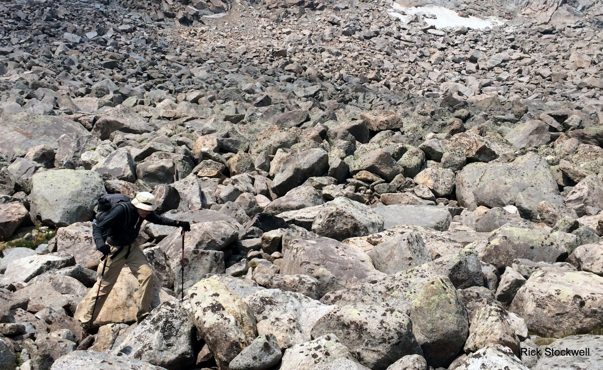
The fresh talus emerged from the glacier recently (in geological timescales) so it is dirty, unstable and a bit ‘inclined to move’. Mobile. Motile. Moveable. Moving. Moved.
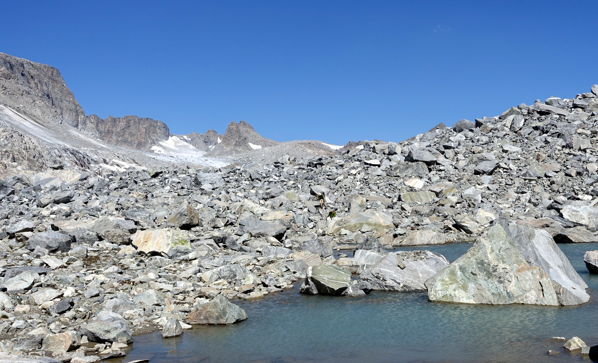
The going is tough, slow and requires a lot of concentration – a mind and body pump. We have to swim uphill…up mountain? Through fields of huge boulders of the unstable variety to alight on ‘slither-back’ scree for the finale; all this is most pleasing.
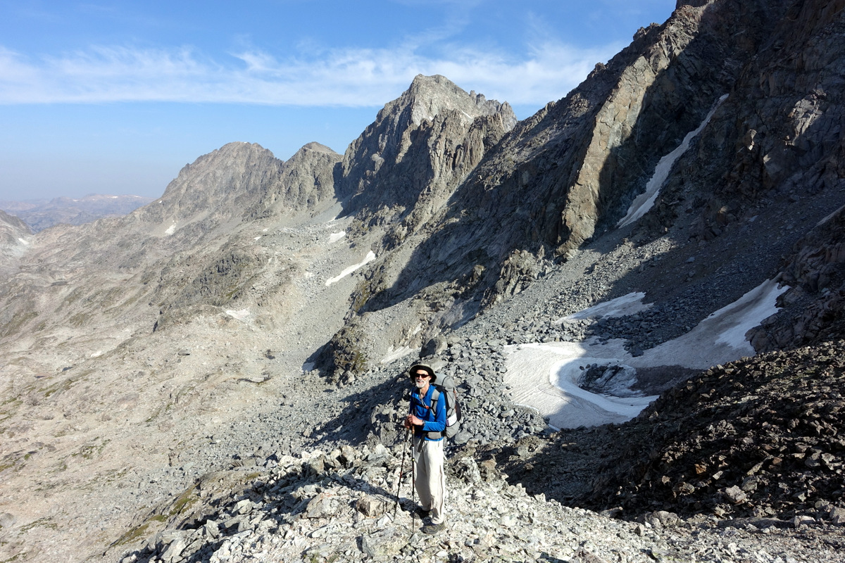
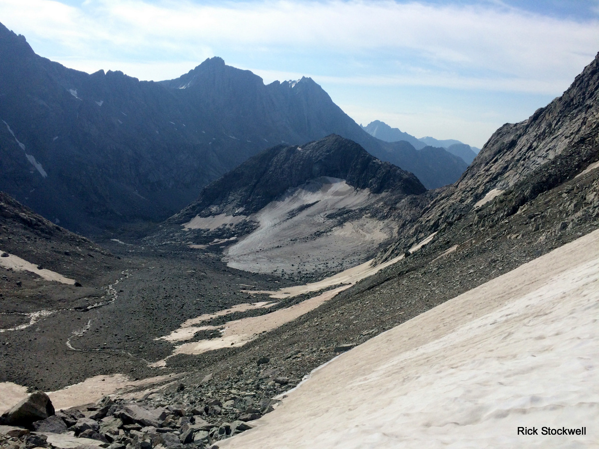
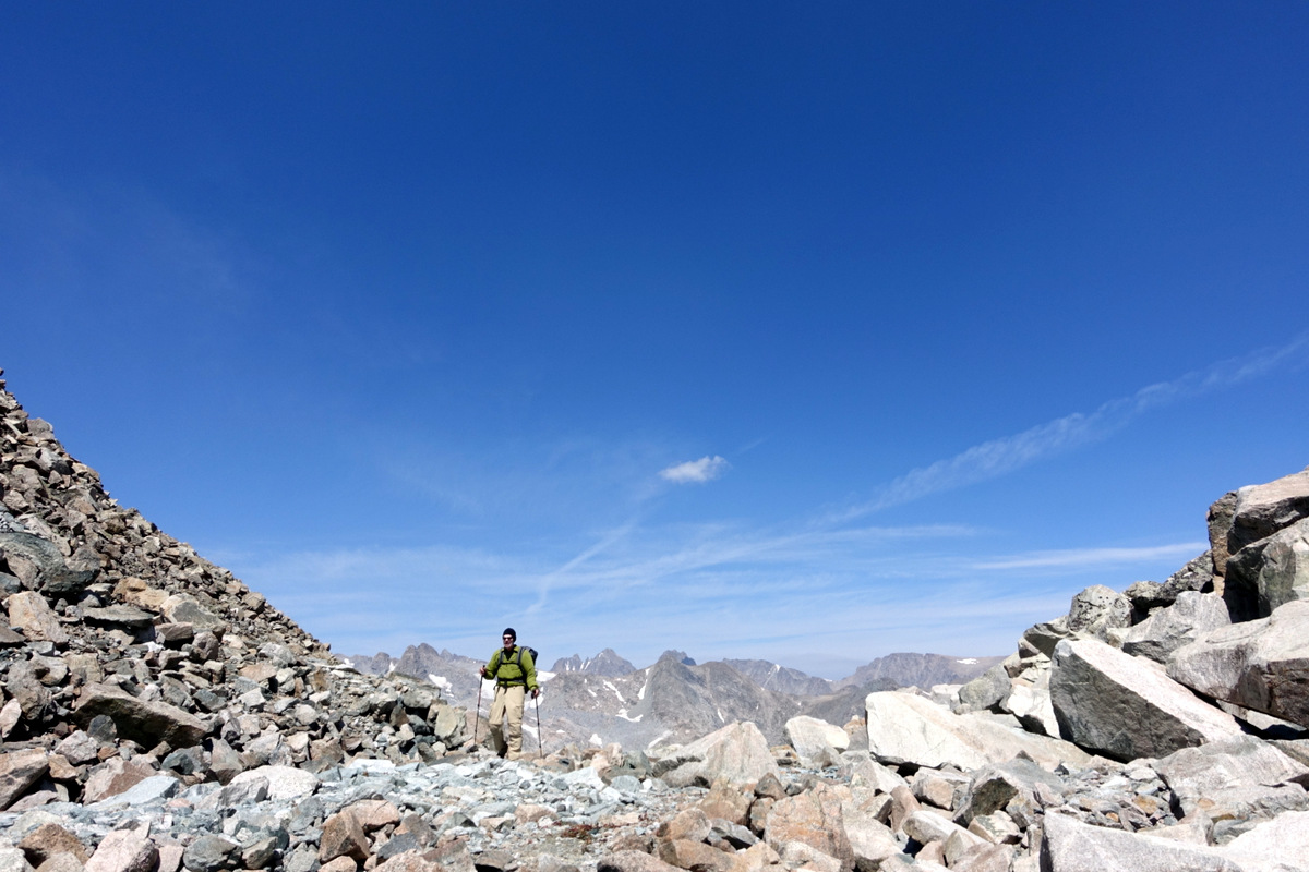
The unnamed pass we are breasting is about 12,200’
The views south to the Alpine Lakes are simply stunning. Negotiating this triptych is going to be the hardest (?) work of this whole trip.
The descent is quite ‘stunning’ too.

Well the first Alpine Lake is meant to have Class 3 ramps; I’m not so bothered but Rick has read of a work-around. It matters not initially as we hit this. Not in any accounts I have read – but it looks unlikely to be very recent.
I take a look and can’t see an easy way past it; but then I’m tired. We decide to head up higher and look for ‘Ricks’ alternate and an easier life. How naïve we are.
It is not the easiest of options, or best of decisions.
Ahhh.
Arghhh.
We spend a lot of time – and some scary time looking for the alternate; can’t find it.
I opine that 200’ above the lake might be 300’ or whatever as you can’t always judge…so we try again. In reality Pete and I sit on our asses while Rick goes a-lookin.

Success; he’s the man.

We drop down past ‘scorched earth’ scenery. I’m tired, largely leading the rock-hopping and starting to make mistakes as I lose the bounce in my ageing legs. Ponder weakness and incipient decrepitude.

Is it one of those ‘nobody wants to say they are fecked’ things? I declaim that I am and am concerned I’ll hurt myself if I keep going when tired on this terrain; the chaps concur, we will start looking for solace and a spot to pitch.

A peaceful and soft shore-side bivvy is discovered amidst the shattered splinters of our surrounds.
Seven miles covered in a pretty notable 13 hour day. Oh my.
Day four - escape from the Alpine Lakes
The day dawns fair and I slept well; judging by nocturnal sonorous sounds so did others?
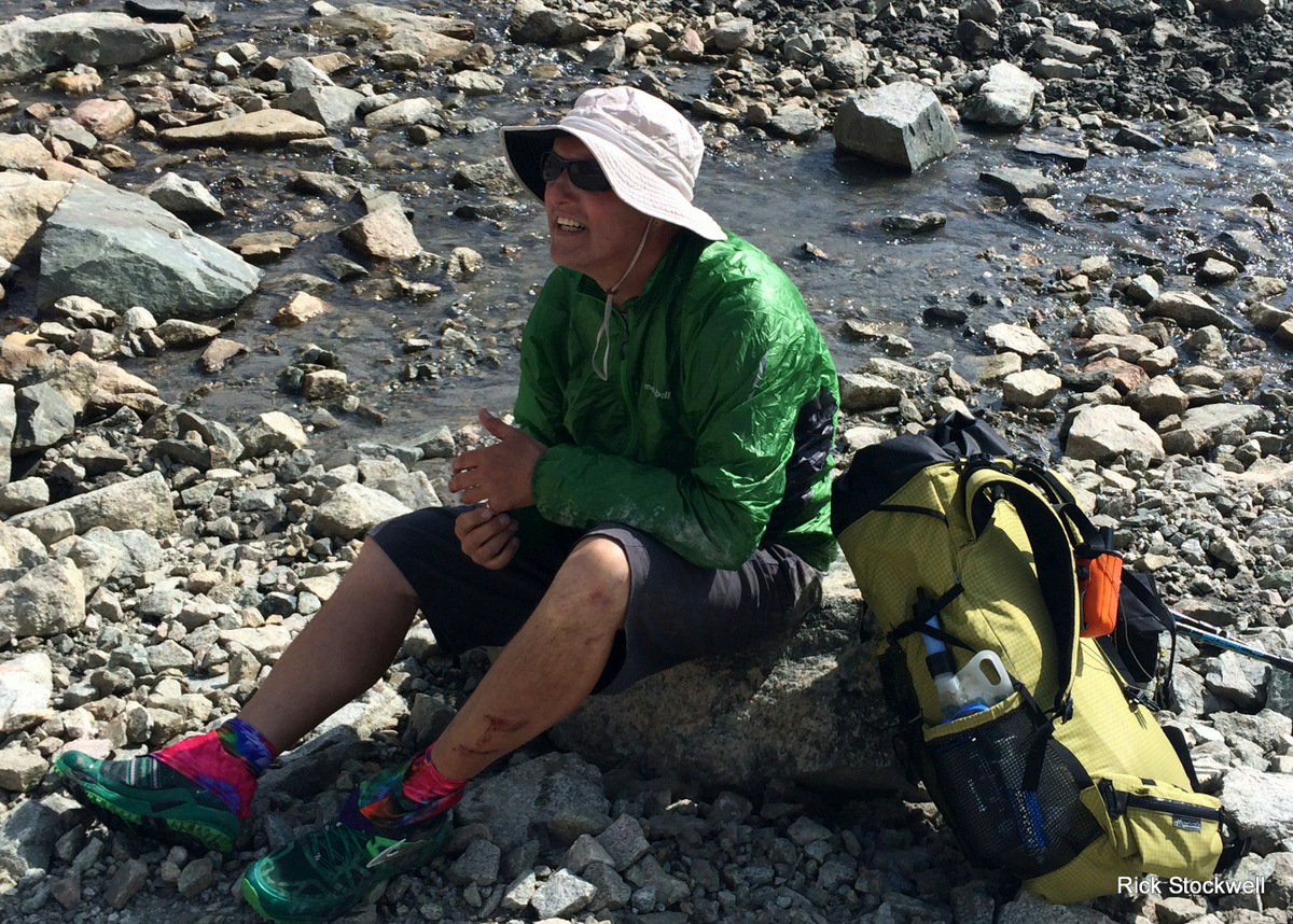
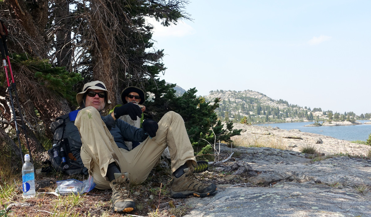
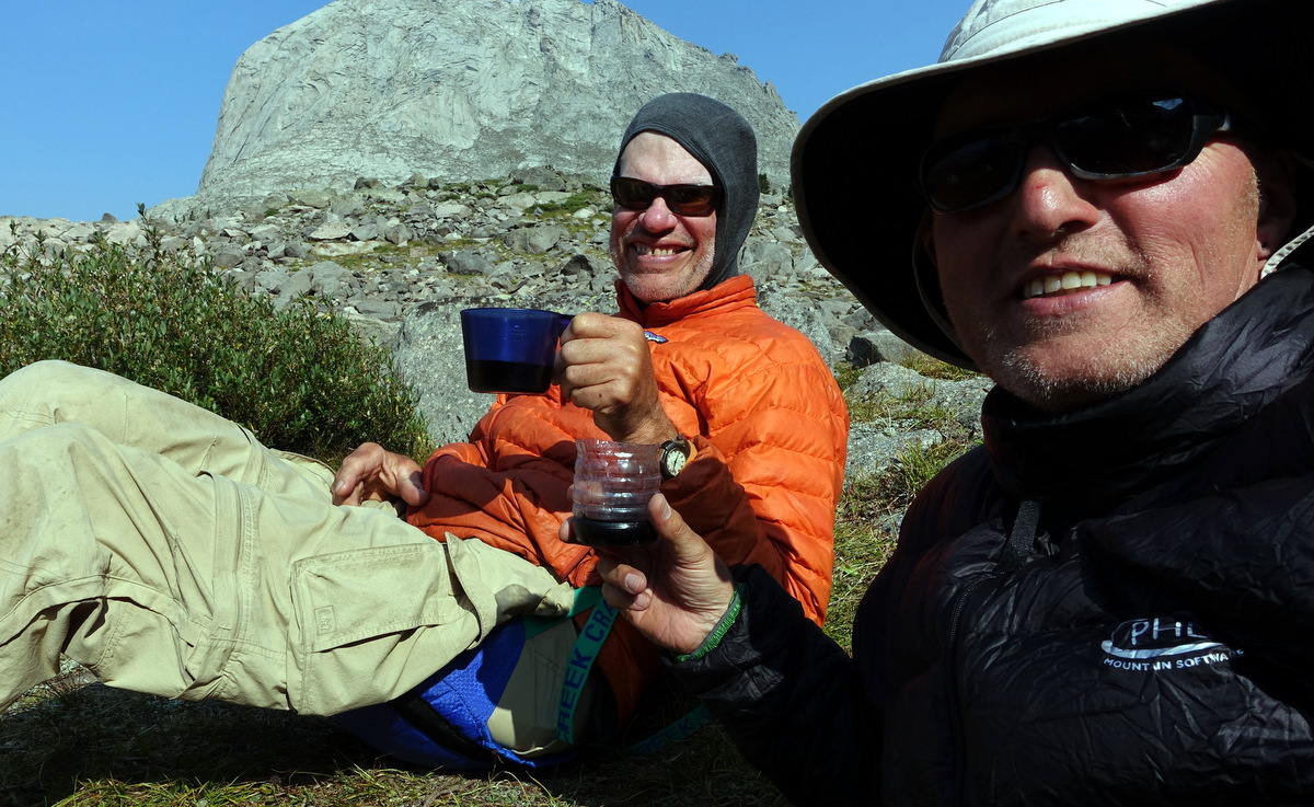
Coffee.
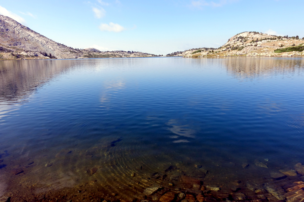
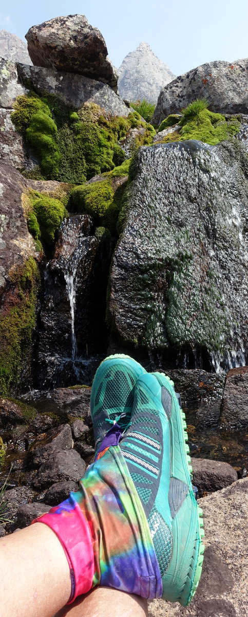
A swim and bathe.
Oh come on !
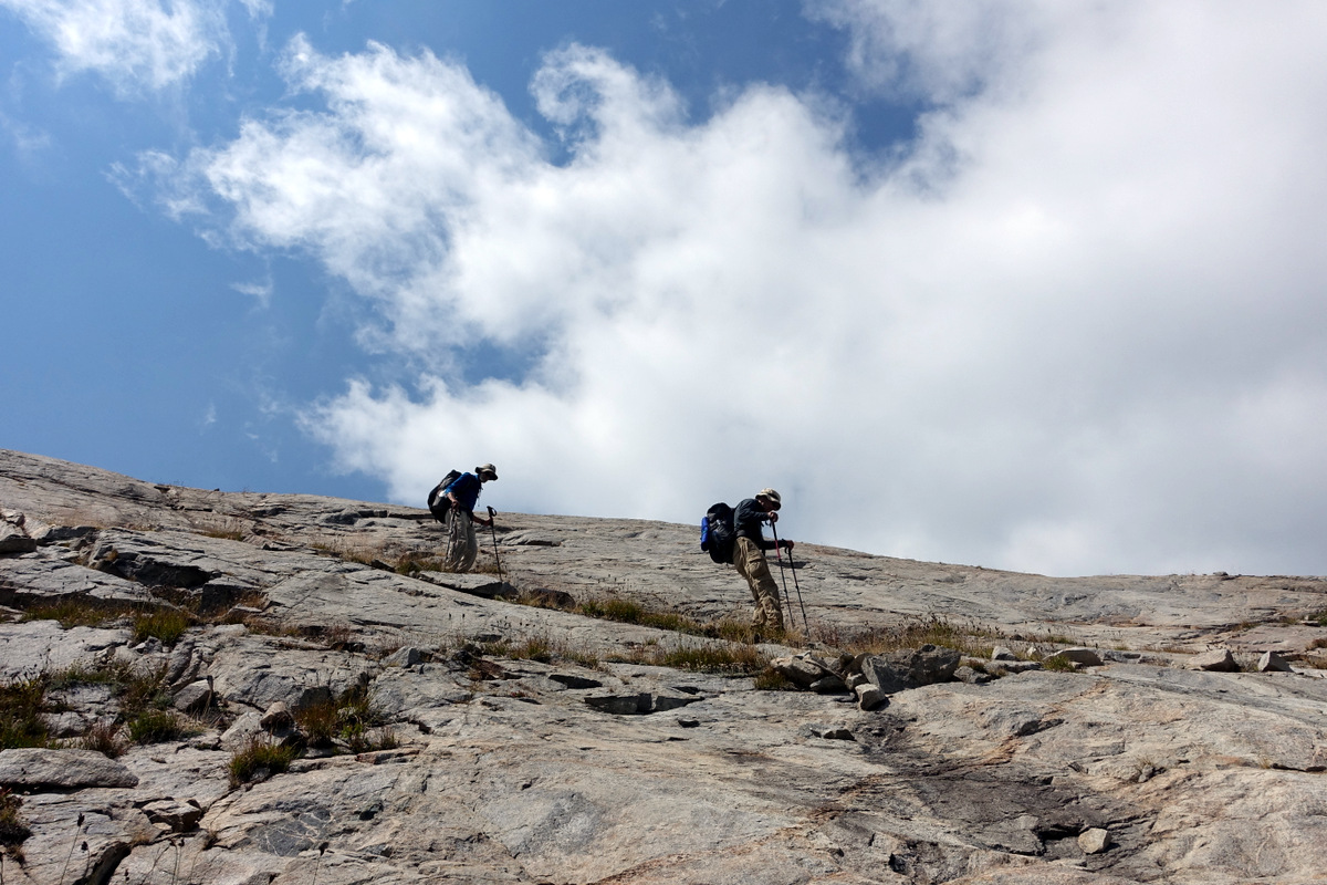
We did well to stop; the first mile or so is very hard going over mobile big talus.

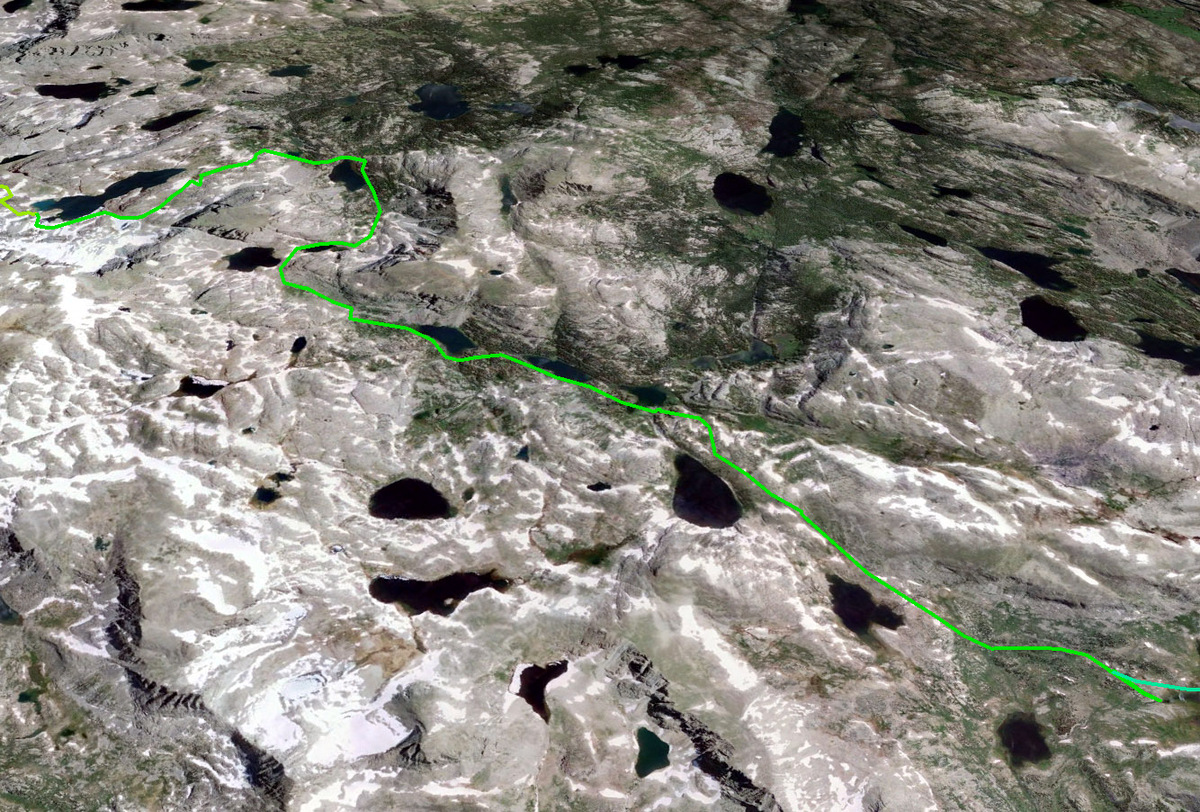
A bit of Google Earth work and reading of accounts bypasses the sheer shores of the lake via an inland invagination.
It is nice up here – wherever here is…here for me is freedom from watching every step – and doing a bit of walking. So weak.
Lakes to be walked around, passes to be climbed, agendas are to be adhered to….such hardship.
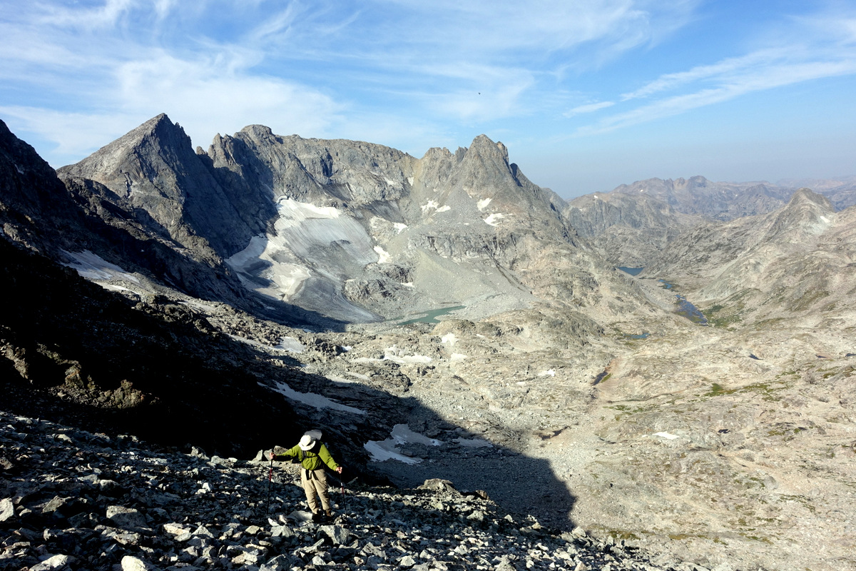
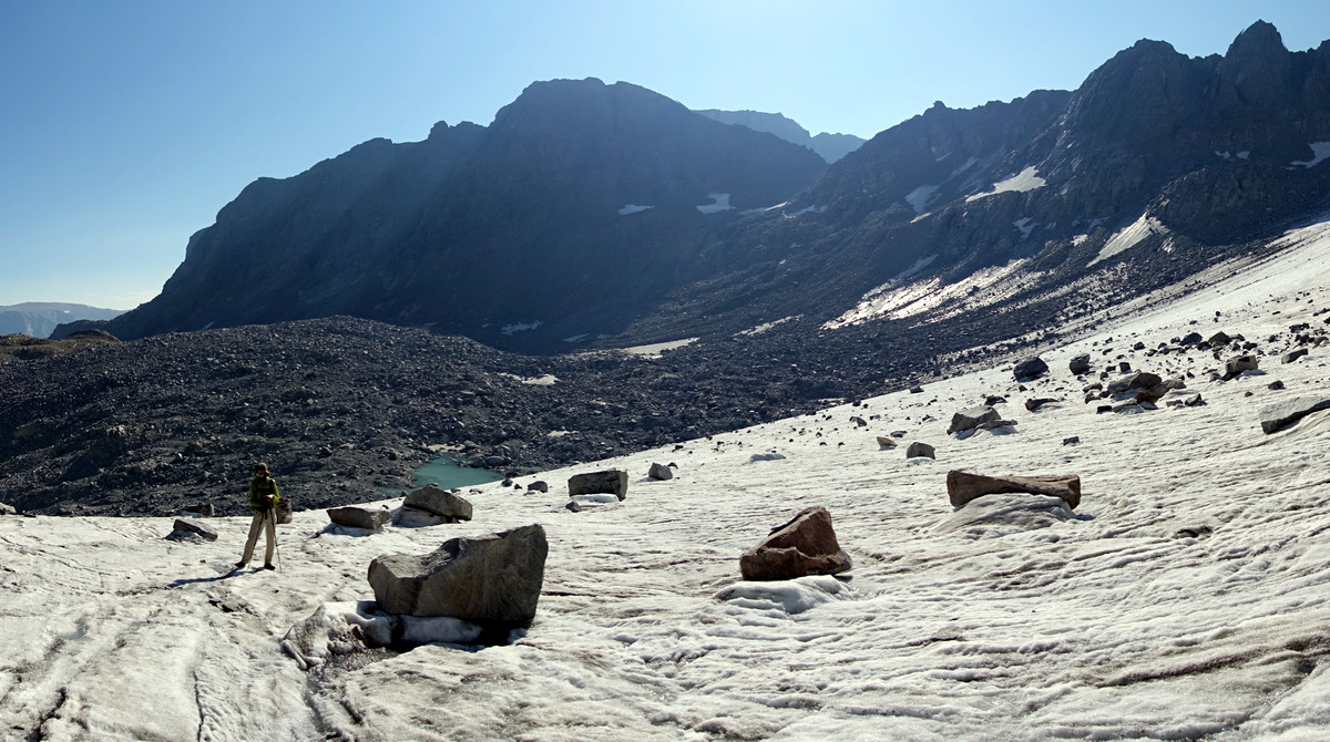
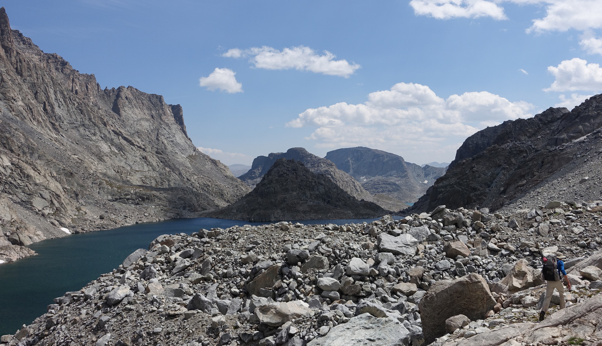
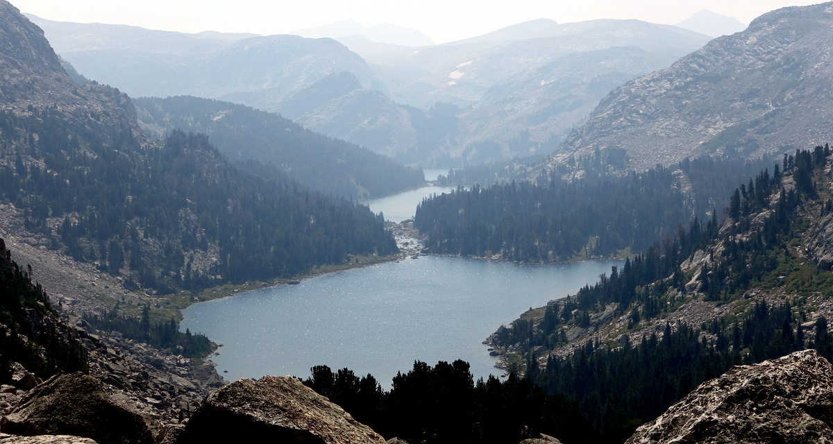
Another un-named pass and we look down the line of three lakes – Upper Golden Lake, Lake Louise, and Golden Lake. A longish descent ensues…I switch off a bit here, lag behind deliberately and spend a little time in the world of me (only a little time is advised)
I come to my ‘senses’ at the base of Hay Pass…and feeling good charge up it. Even Rick (the racing snake) remarks ‘that’s was fast’ – ha and pfui to these Coloradan giants.

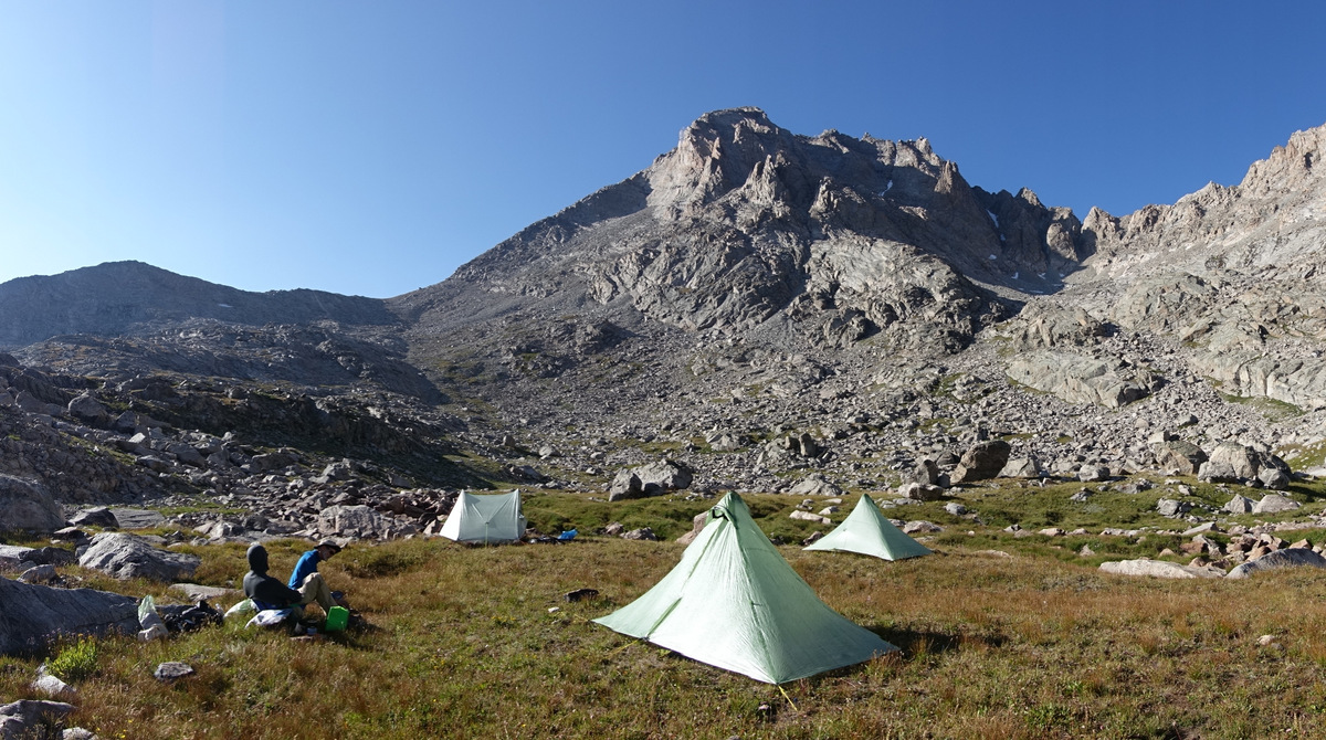
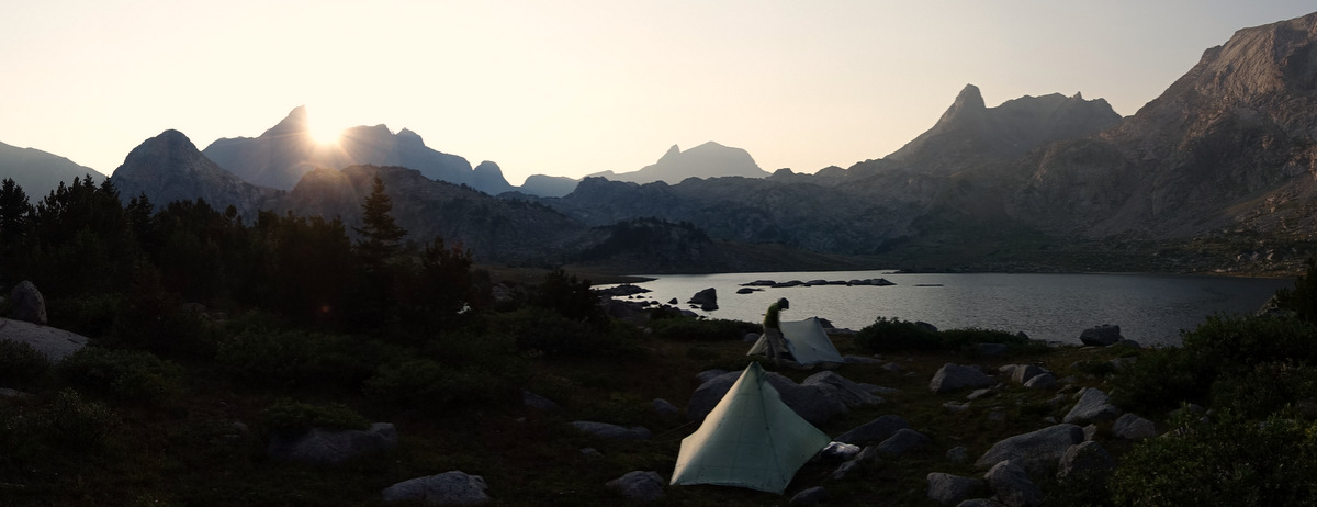
And then…
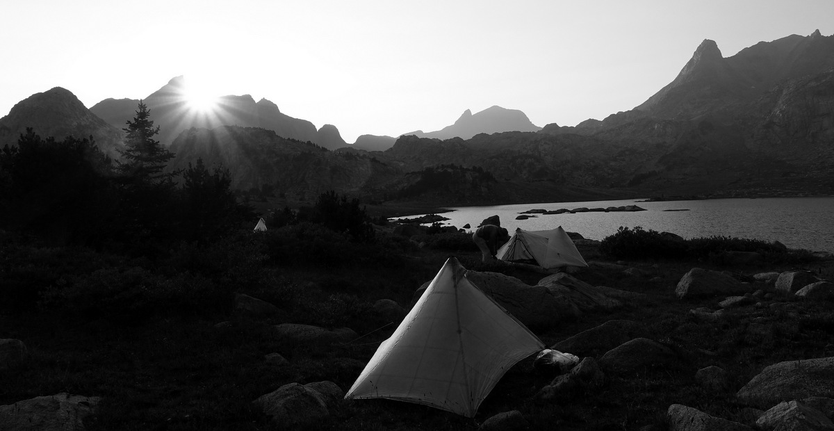
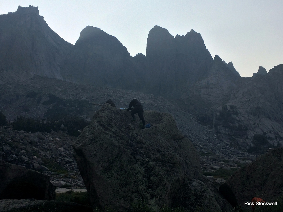
…we find a fine place to pitch for the night.

…and the bear hang is quite a feat…
The fifth day – beginning to smell a tad
A deal is a deal.
In a fit of endorphin charged euphoria Pete and Rick have both said that they would like to do the Sierras section of the PCT with me next year.
They promised.
Despite everything.
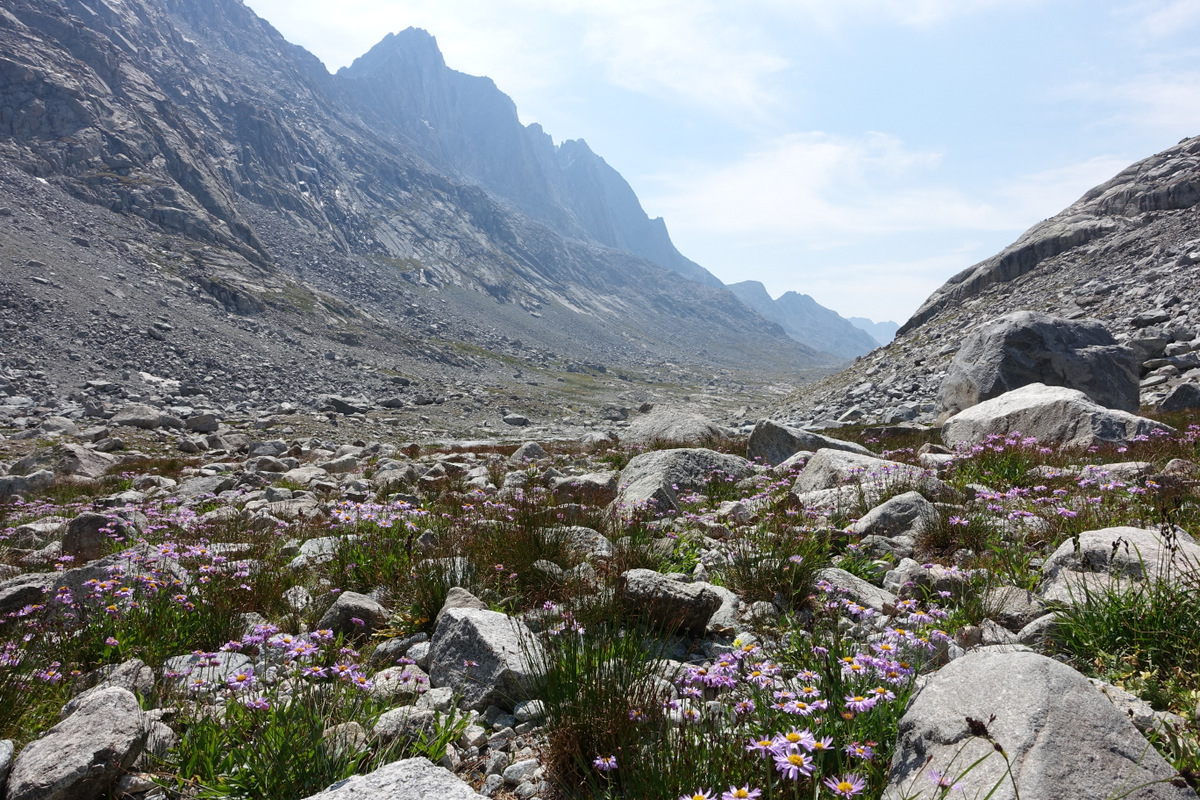
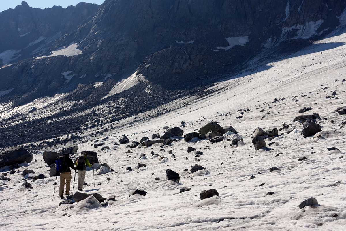
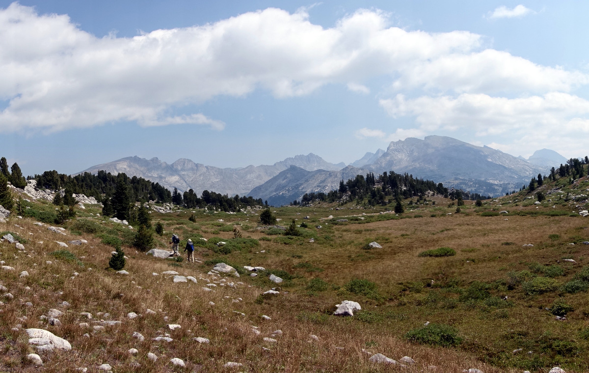
We are in (for me) a munificent shade for the early miles of the day…..things are warming up, light steals in, mists rise, colours shift…

Level pegging at last!
This is a most pleasant morning stroll.
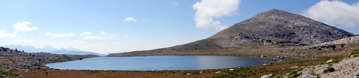
First we have to traverse the lovely Lake 10,147 via a fine linear shoulder that is quite capricious yet rather fun.
I can remember stopping here, eating in the sun. We climbed a little after, Rick and me discussing the way, a still and peaceful warm morning.
What ensues is a steep lung busting pathless ascent that Pete picks a fine line up, saving the rest of us public tears.

Oh no; they don’t care what I think about the navigation.
I’ve seen Pumping Iron and it is sad that I imagine it is still me; this my ‘most muscular dwarf’ pose.
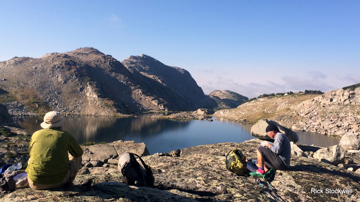
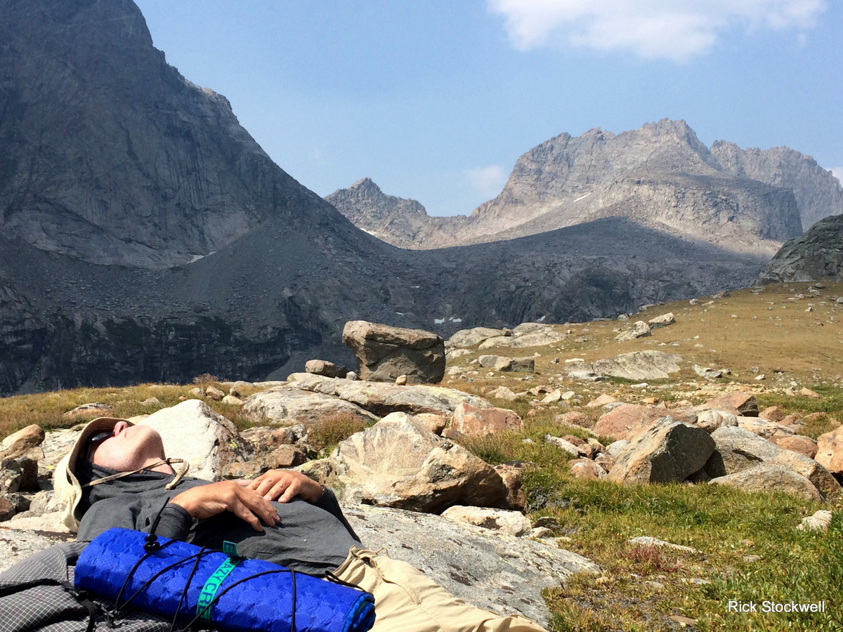
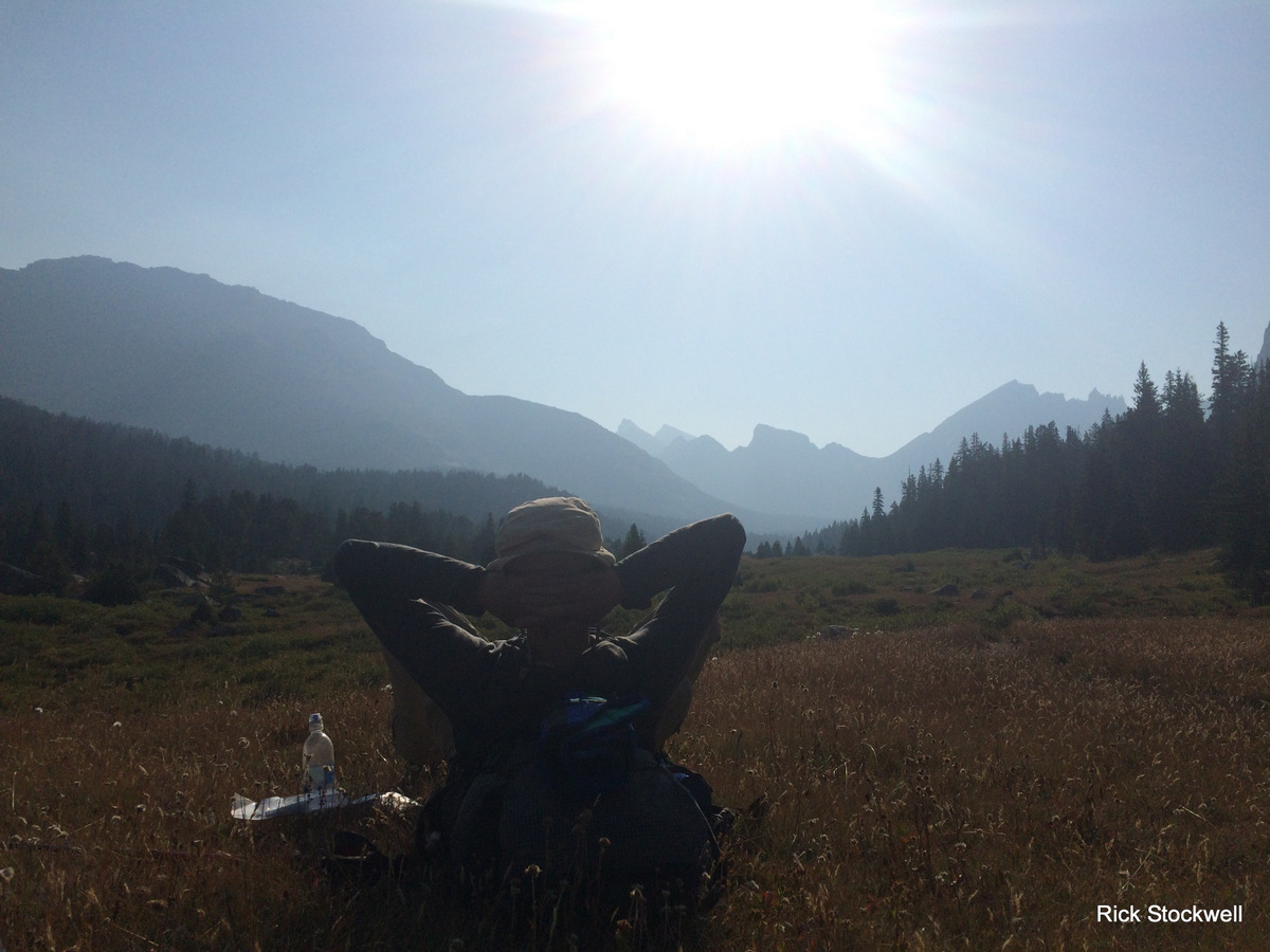
Now we are above Middle Fork Lake looking towards the pass before Bonneville Basin – the most chilled and sublime pitch of the trip for me. This was a very fine languid evening spent wandering around in the sun, chatting with friends and just being there; trite but right.
Yes well…I never said they had class.

Day six – a tough descent to an easy life
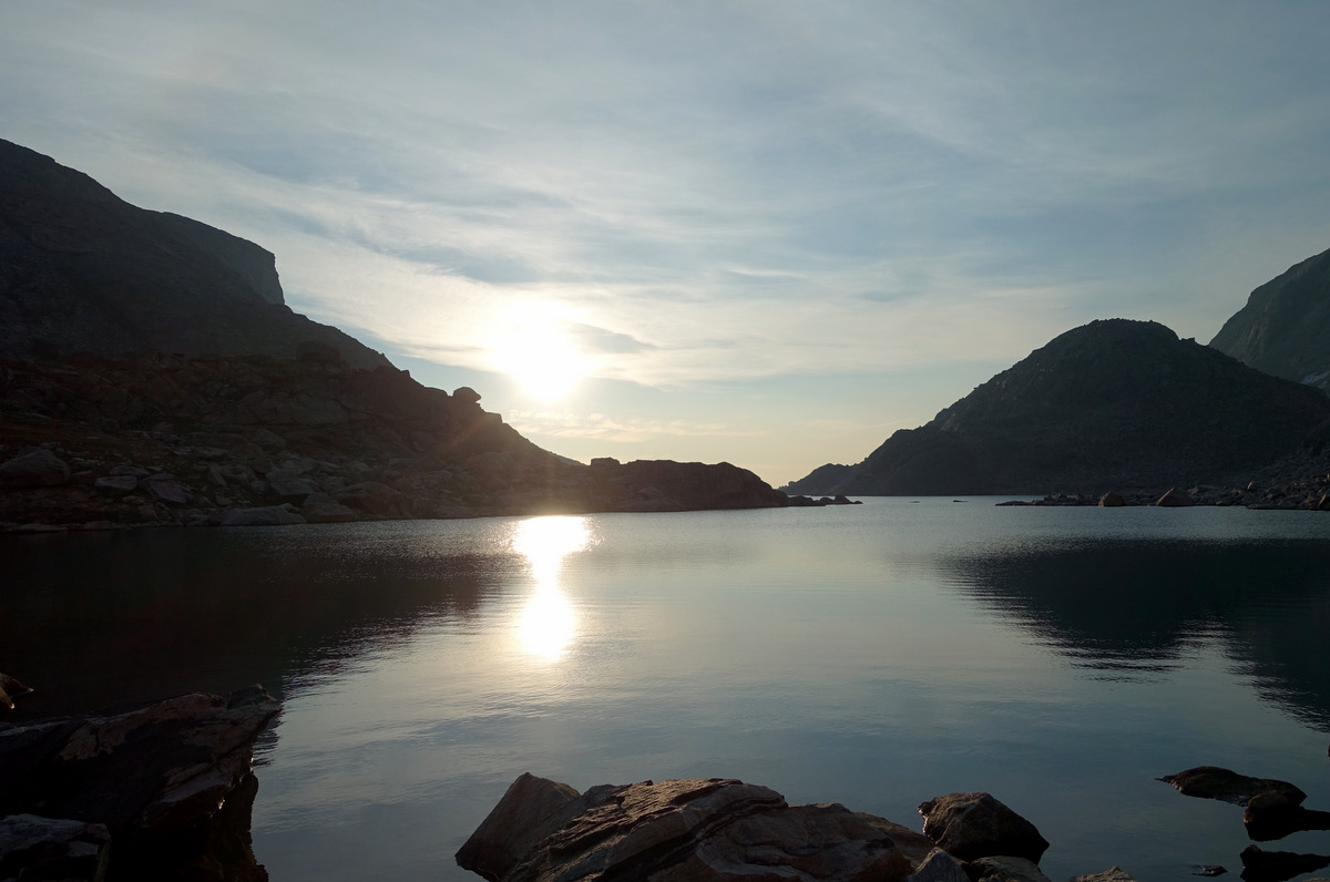
To wake up to this.
We were all pretty happy (oh yes, understatement) with the previous days wander. Today was going to be a tad more ‘gloves off’ with some rocky off-trail to play with….we stride manfully and with purpose into the desolation.
Well they do, I’m lagging as ever.
The Pronghorn.
The Self-important Idiot.
And here we are at the pass after a variety of routes have been taken. I stopped just before to eat and wait for the chaps. They carried on through. Typical American empire building.
Bastards.
…and yet…and yet…who got to go down first to check out the drop-off shelves…oh yes. There is Class 3 around here, but it is easily evaded with a bit of nous.
Lunch.
Oh we are chilled alright…before gritting teeth and anything else that will help to get up the next pass.
I romp up for some reason (perhaps those 30 days at altitude eh you smug wanker)…the route is grand and passes over easily inclined stepped slabs – would that the other side had been so harmonious.
Descent is tedious…it takes far longer than the map would suggest. Talus large, small, humongous, vast, and bloody unstable is all part of the mix.
Yet we are men of fine character.

The descent is not so tough after that, involving levelish walking with a backdrop to die for. The background ridge between Reid Peak and Mount Geikie looks most tempting.


Rick captures the urgency of this day when I was thinking…’I’d like to have a good rest’…

Pete was on board - he’s such a slacker.
But move we must….to our earliest stop of the trip; as fatigue kicks in perhaps?
Pyramid Lake is a pretty cool spot – Rick casts about and finds us a good waterside slice of real-estate.
Shameful indolence ensues as we gaze at the soporific environs.
I guard camp (and relax in Pete’s chair it must be said) while the Coloradans go for water and foot soaking…
I later go for water and having drawn it notice a dead fish lodged just upstream. Nice.
OK so, they look proud of themselves…..rightly so…..
Ten throws of the line, no less, perchance more – will we ever know?
But it is the first throw that transcends all….’stand on this end of the line’ I say to Pete…Pete oblivious…it goes, and it goes, a perfect throw, a beautiful pristine arc; ruined. Ten minutes later we are sorted. They can look triumphant. Pete should have the humility to look downcast.
‘Hang of the trip’ though.
We return to mellifluousness.
Penultimate day seven - into the ‘Cirque’ (as we locals call it)
This is it really; we are done. Cruising largely - although there is still a bit of work to do; none of it hard in comparison to the last few days. Good.
Coffee.
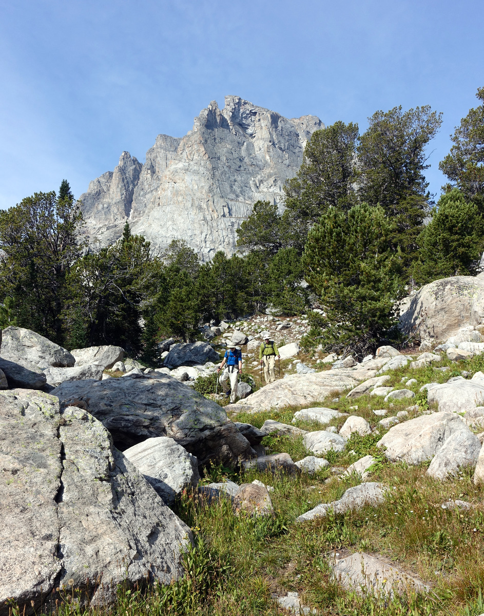
Well…none of it too hard anyway – there is a pass to climb, but we are heading for the renowned ‘Cirque of the Towers’ – Wyoming climbing mecca – and busy as a result.

Hues and peace. There is a fine diffuse light this morning - probably not all romance and probably more to do with the fires burning elsewhere in the Western seaboard than anything else.
Yeah well – I stop for something or other and they are gone. Me alone. Lost. Obviously they will leave a marker if the trail splits…obviously. Ah well.
We reunite (I cast a few suspicious looks – do they really think they are going to win?).
Next up is Texas Pass…gateway to the Cirque of the Towers.

I think all respective karma’s were blighted by the arrival of man whose name I forgot as soon as he told me….boy he can talk. Rick’s later observation that ‘perhaps there is a reason he is hiking alone’ is both measured and generous. Anyway – captain Clueless even missed the ‘feck-off hoooge’ cairns that mark the rout upwards.
It’s a steep one. No real rests. A nice reminder that things are not finished yet.

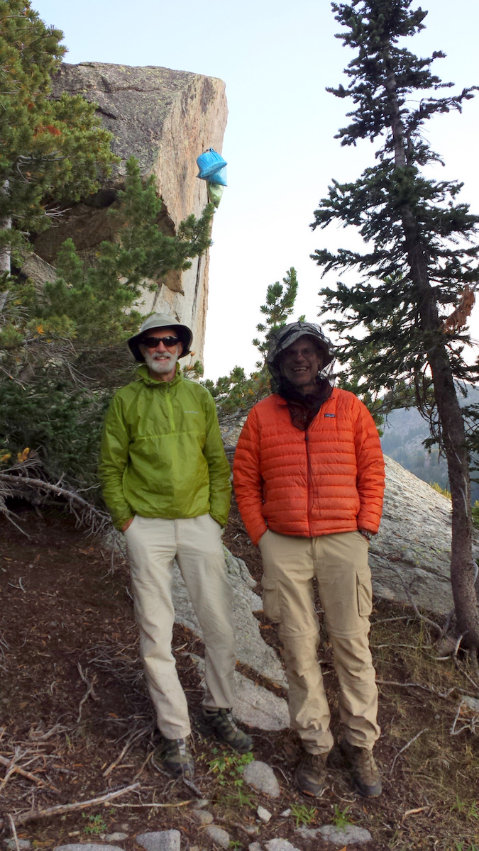
The Dream Team
Pingora Peak is the big rock route to tick in the US – we can hear the climbers calling to each other already.
‘Hugging the midget’ Buddy Shot
There are a lot of people down here, you can hear them. But you can’t see many as the amphitheatre is so vast. We have time to play with and could easily have walked out that day…but why not tarry?
And then.
He’s running across to us. A backpacker. Young.
‘Do you like wine?’’ is the question. Oh yes.
We LIKE wine.
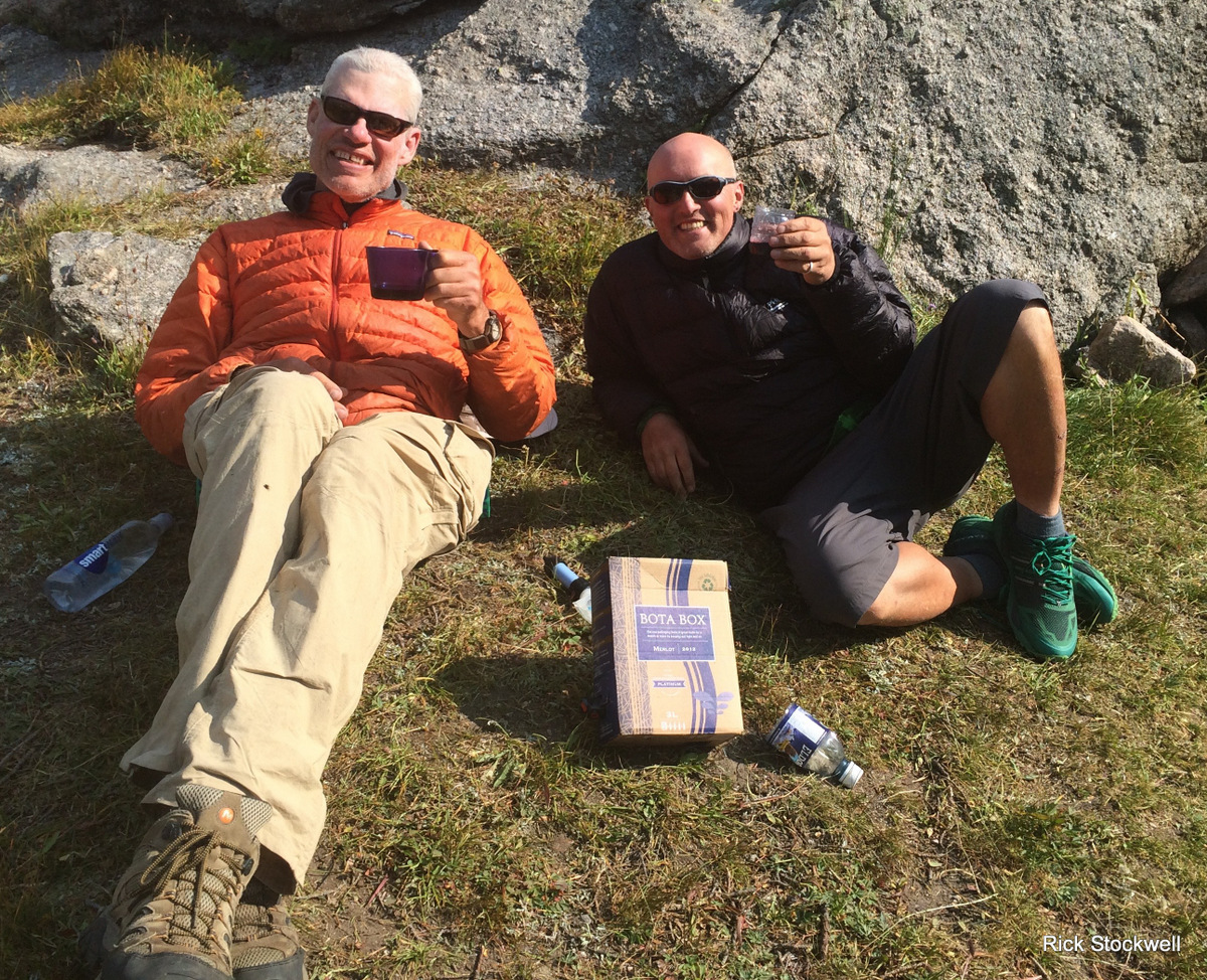
Even for us three litres is a bit much so we cache the remainder under a rock for a couple who have just arrived – although they are already pretty well-catered for regarding beverages from our conversation.
The sadness of the final hang.
The rope jams so I have to climb all the way back up in the morning.
Even Pete’s feet are rejecting him now.

Day eight - exit to Big Sandy Trailhead
The peaks are lit up nicely and few are moving when we pad out of the cirque.
We still learn.
The final aptly named Jackass Pass is our last obstacle; we go the wrong way. You couldn’t make it up!
Stealing quietly out of the wilderness….

Look, look – I’m going to win.
I’d write an expansively emotive and gushy postscript to my tale of the Wind Rivers – and it might all be true.
There are few trips in life and time that captured my imagination for so long, or lived up to and then surpassed expectation. I hung a great deal on my US travels over the summer of 2015 – quite why and what those things were and are is elusive to me.
As to the boy’s – you could not wish for better companions over a route that tested many things; the physical being perhaps the least of them.