A Smokey Dusy Basin - 8/19 - 8/22/15

If you've been searching for the best source of information and stimulating discussion related to Spring/Summer/Fall backpacking, hiking and camping in the Sierra Nevada...look no further!
User avatar
KingMouth
Topix Acquainted
Posts: 27
Joined: Wed Aug 13, 2014 10:06 am
Experience: N/A

A Smokey Dusy Basin - 8/19 - 8/22/15

Post by KingMouth »

My Route

Summary: A scenic four day solo cross country hike to all the Dusy lakes. Clear mornings and smokey afternoons, but still way better than being at work!

Tuesday: I drove up from Simi on Tuesday afternoon a little later than intended, and forgot one very important fact: Permits for trips into SEKI are ineligible for the night drop box. $#1T! I guess I won't get too early of a start.

I camped at Willow Campground at about 9200 feet in order to acclimate a little bit and slept like a baby. When setting up camp, I did notice the smell of smoke...


Wednesday: Got up before sunrise, and broke camp. Drove back down South Mountain Road, and had time for coffee and a phone home at the Looney Bean.

Image
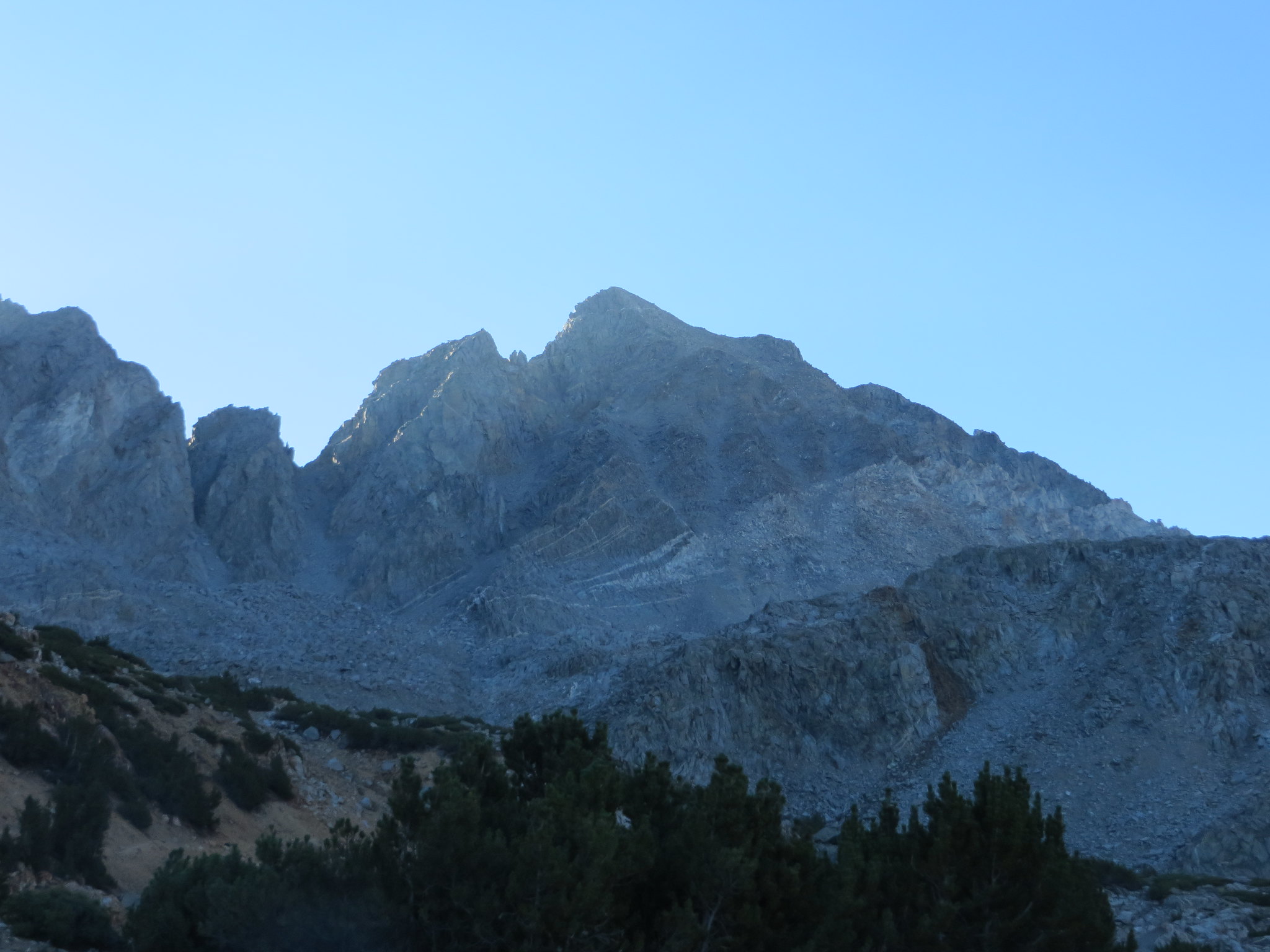
Sunrise on Mt Humphreys from South Lake Road

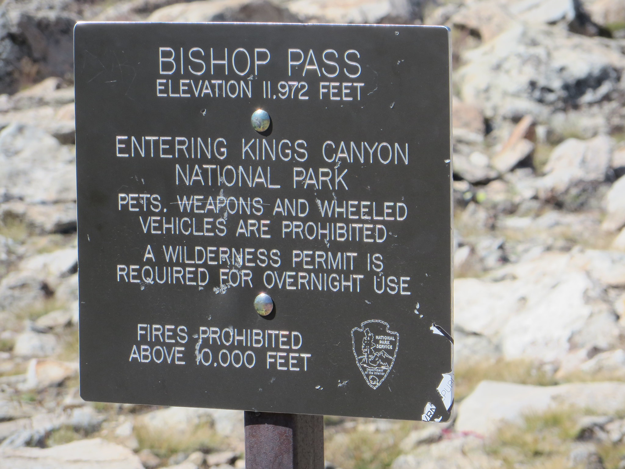
Got some food to go and ate in the parking lot of the White Mountain Ranger station while waiting for them to open. Got my permit, said farewell to clean indoor plumbing and headed back up South Lake road. Got a great parking place at the trailhead and was on the trail at 9:30.

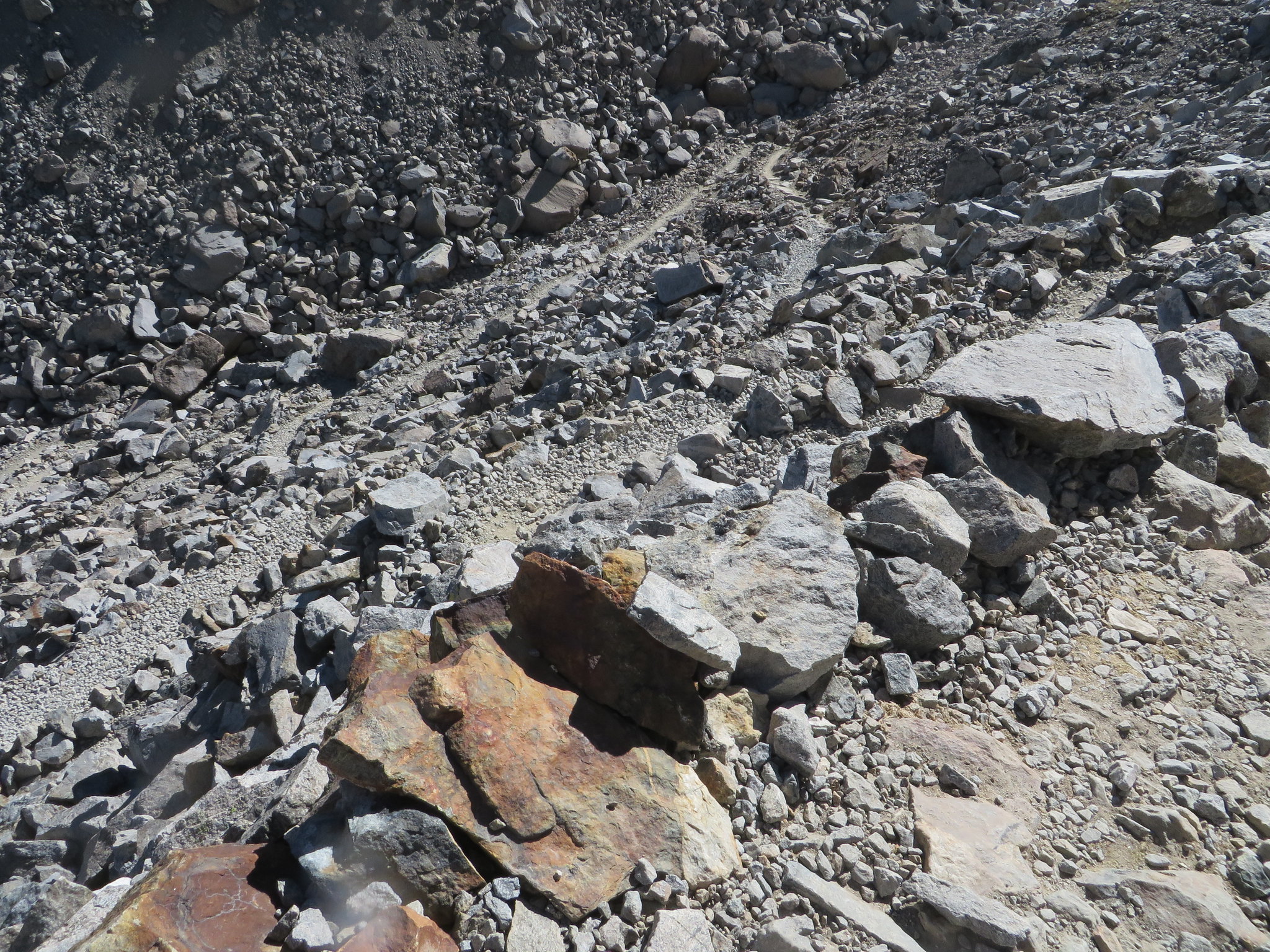
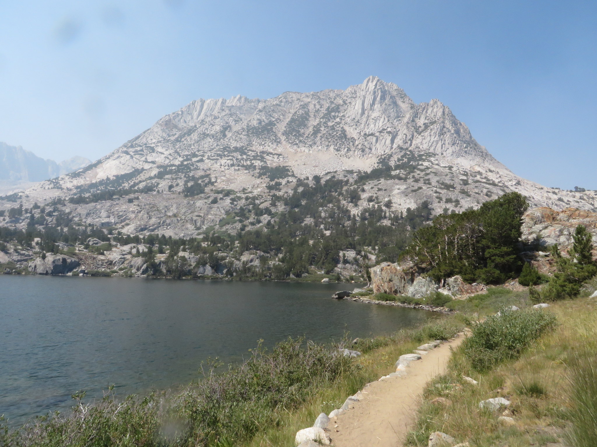
The Bishop Pass trail is really nice. It has a consistent pitch that is not too steep and has far fewer "steps" than other east side trails. (At least until you pass the Bishop Lakes.) The boat launch at South Lake is closed due to low water levels, but at least they opened the Boat Trailer parking lot to overnight hiker parking.

Image
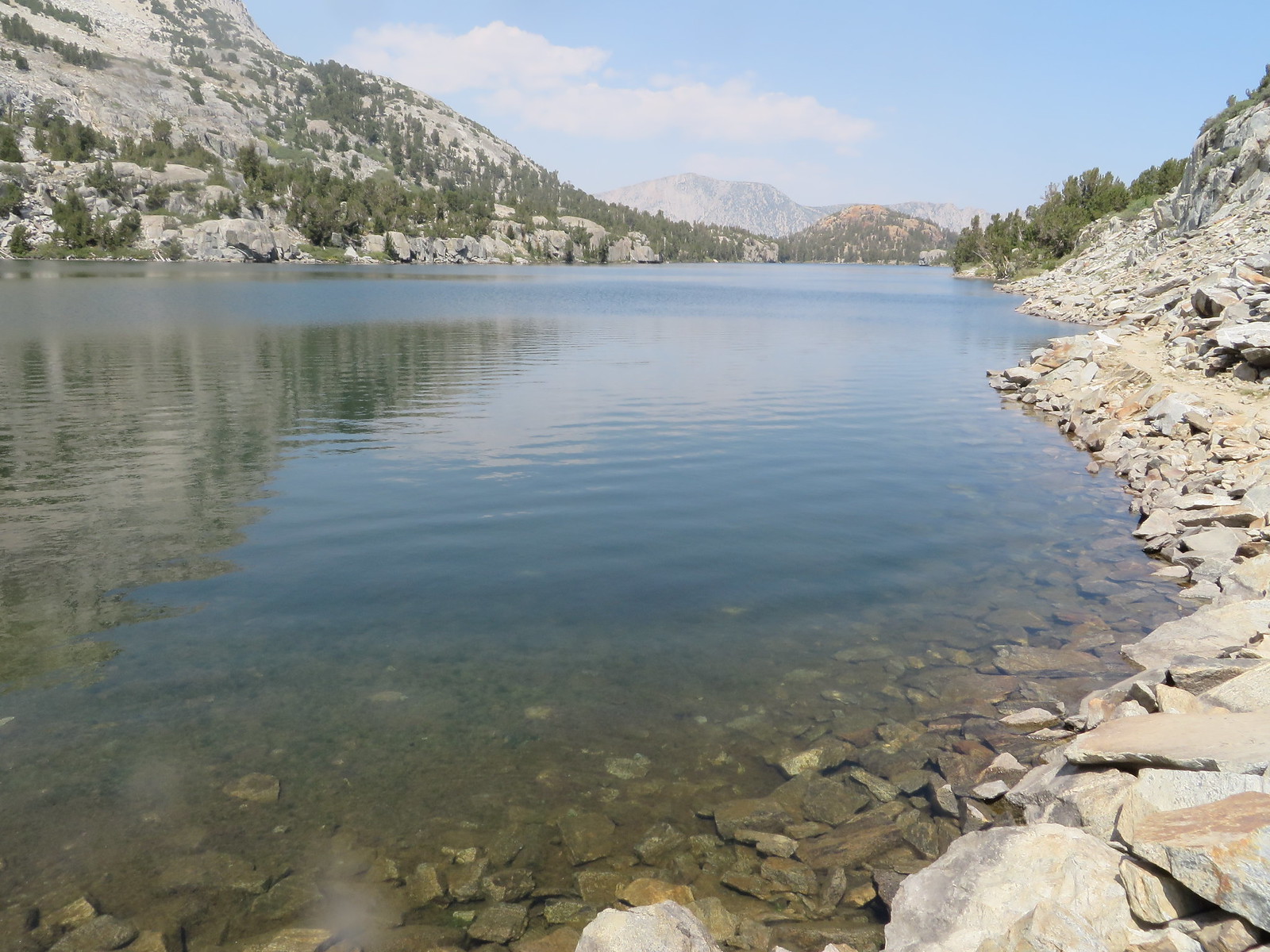
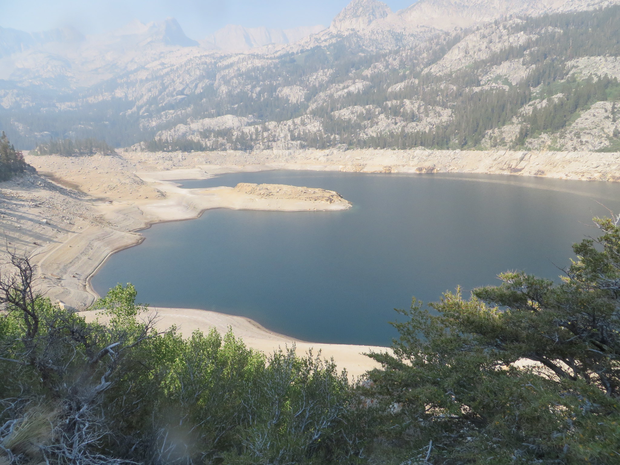
South Lake with low water levels

While it seemed clear and nice out, there was a hint of smoke when I looked at my photos. And it got worse!

ImageHazy view south over South Lake

There were some nice features of the trail on the way up to Long Lake, but not much to see as the forest obscured the view. Once you reach Long Lake, the views improved. Starting up on a Wednesday morning also obscured several other aspects of this trail: On the weekend parking is a challenge at the trailhead and this is a really well utilized trail!

Image
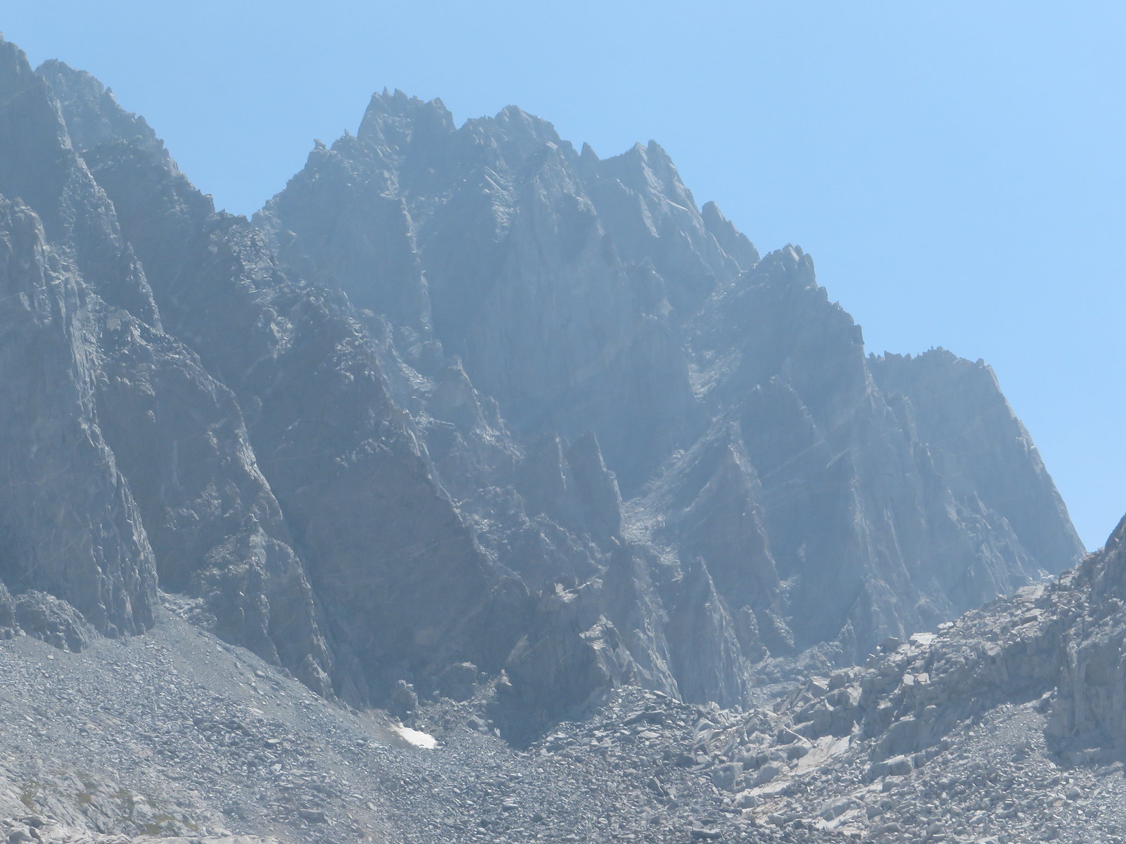
Hurd Peak over Long Lake

Image
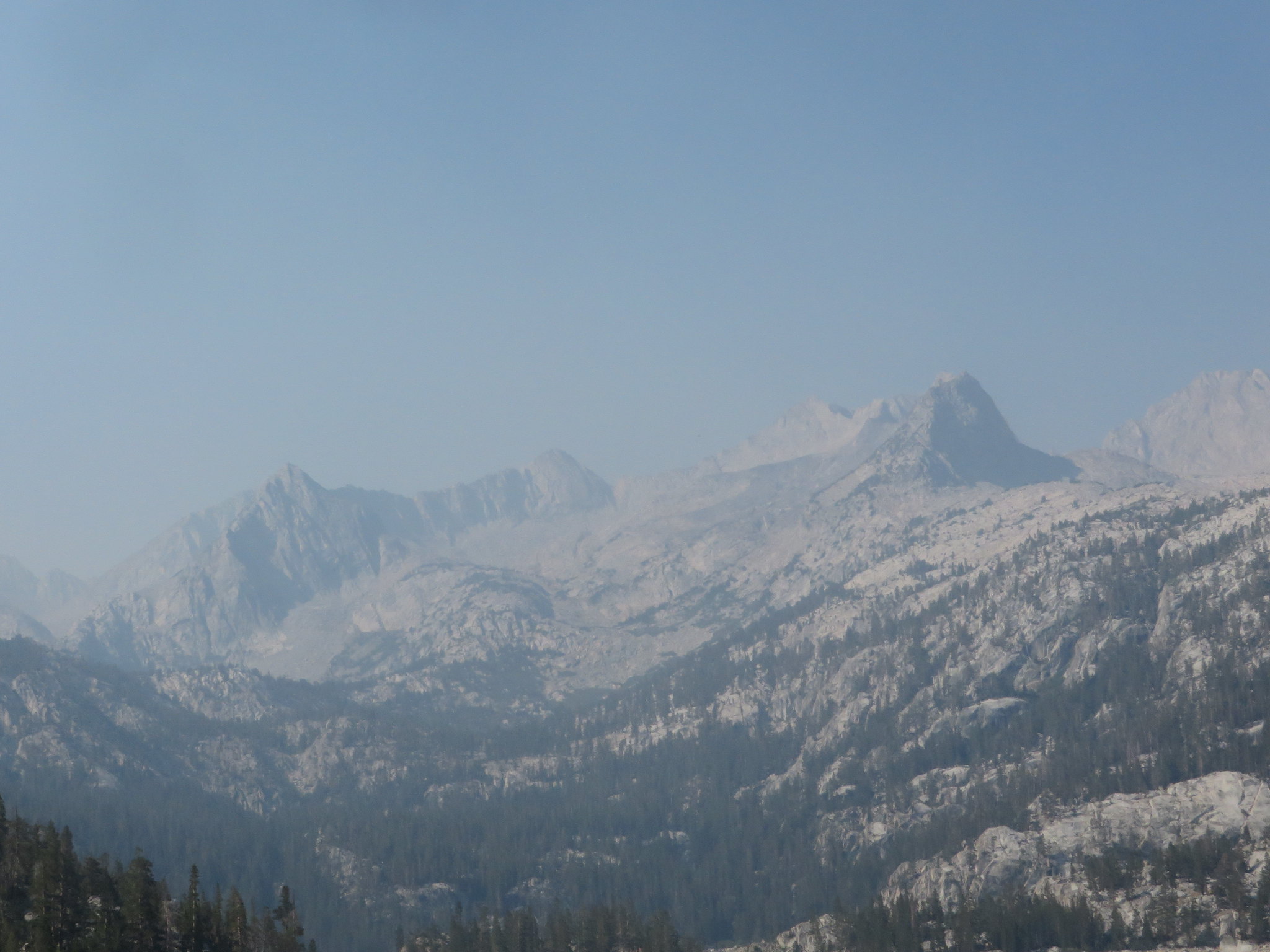
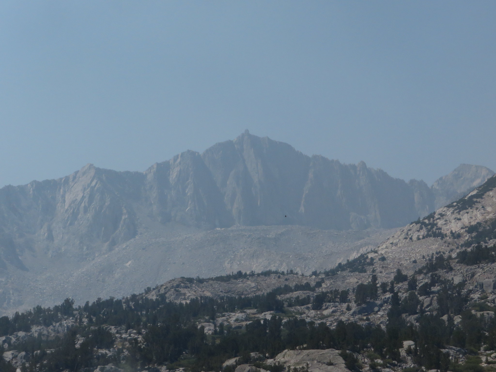
Mount Goode in the hazy distance

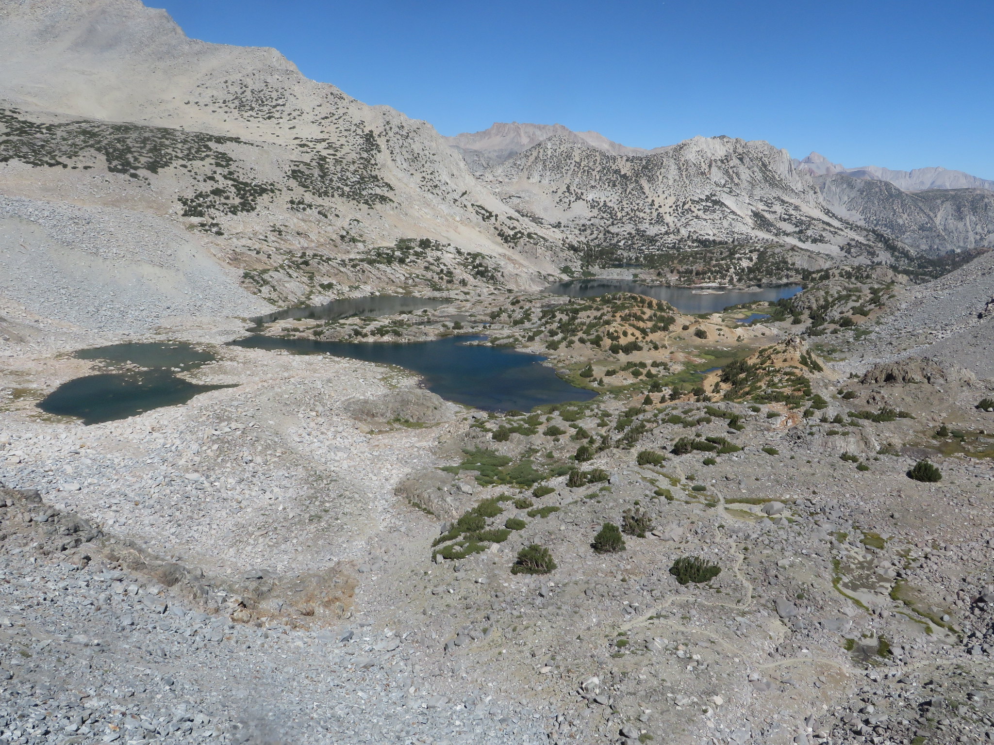
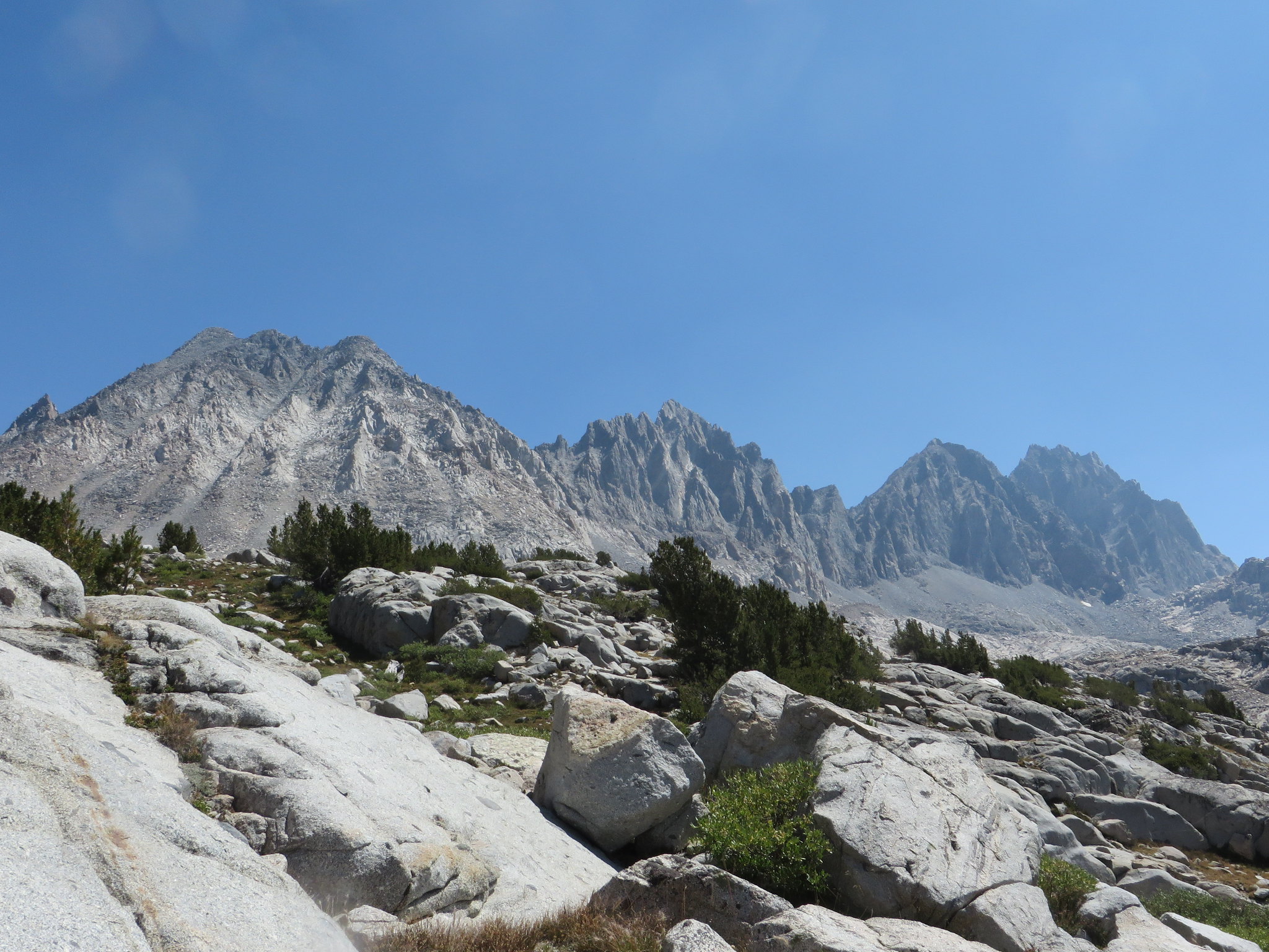
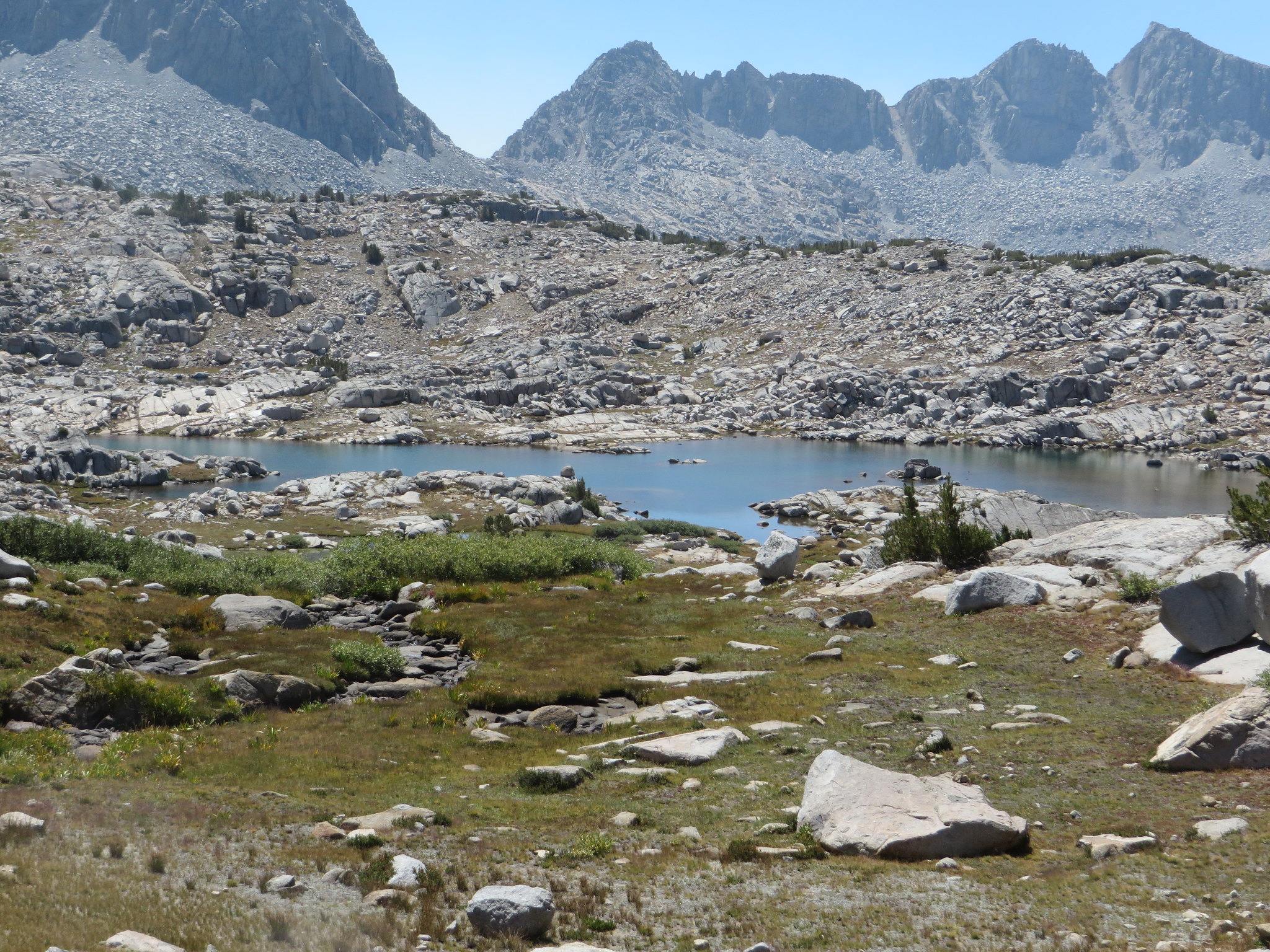
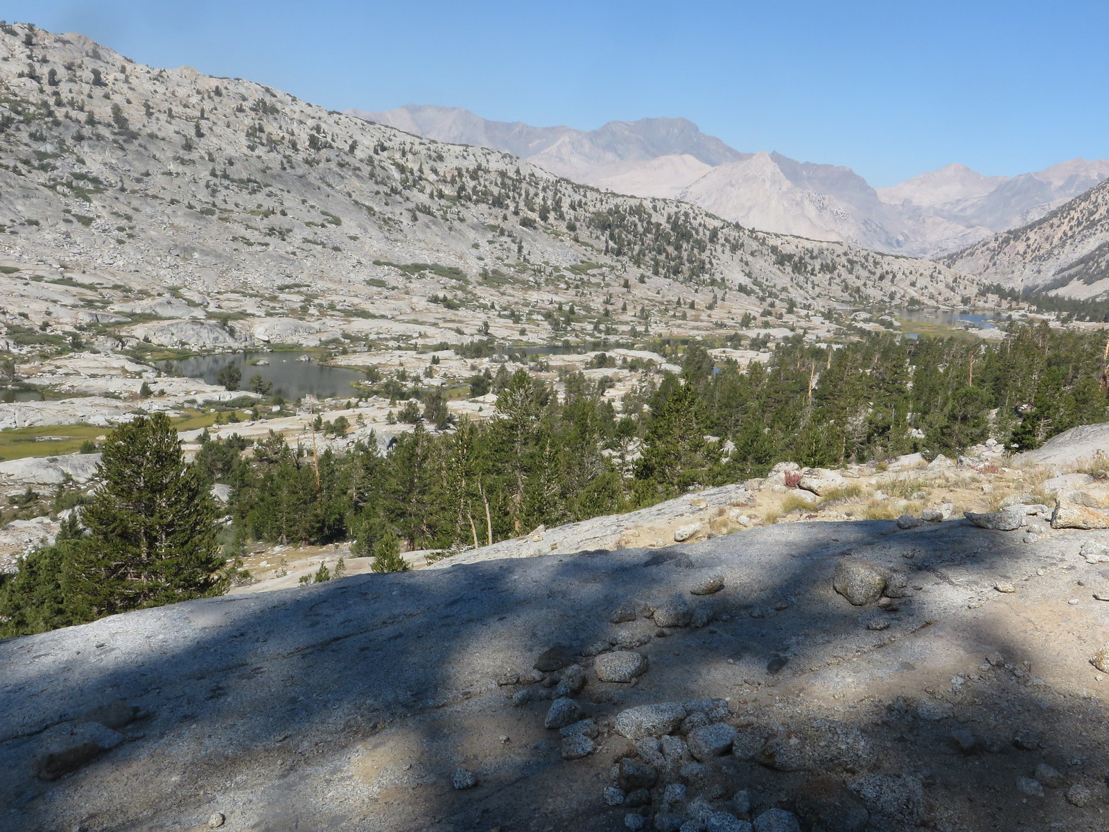
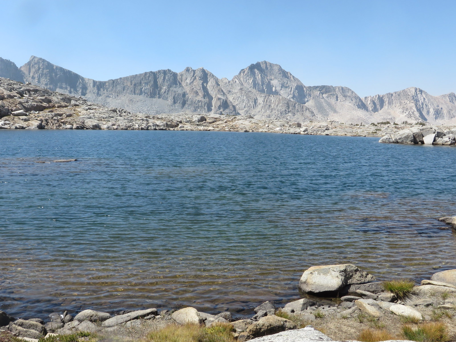
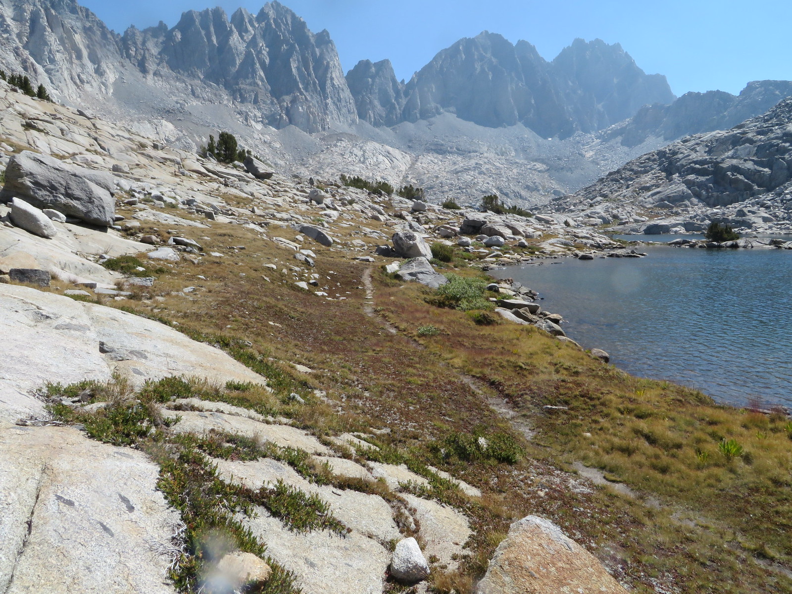
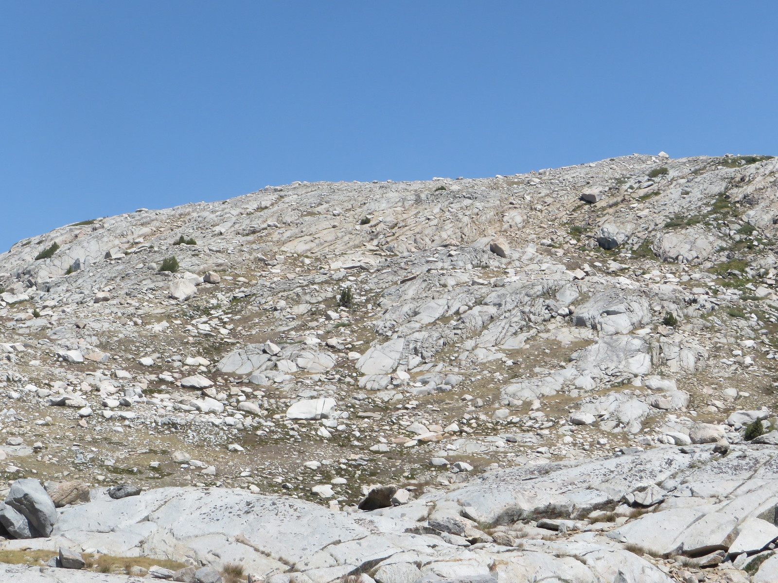
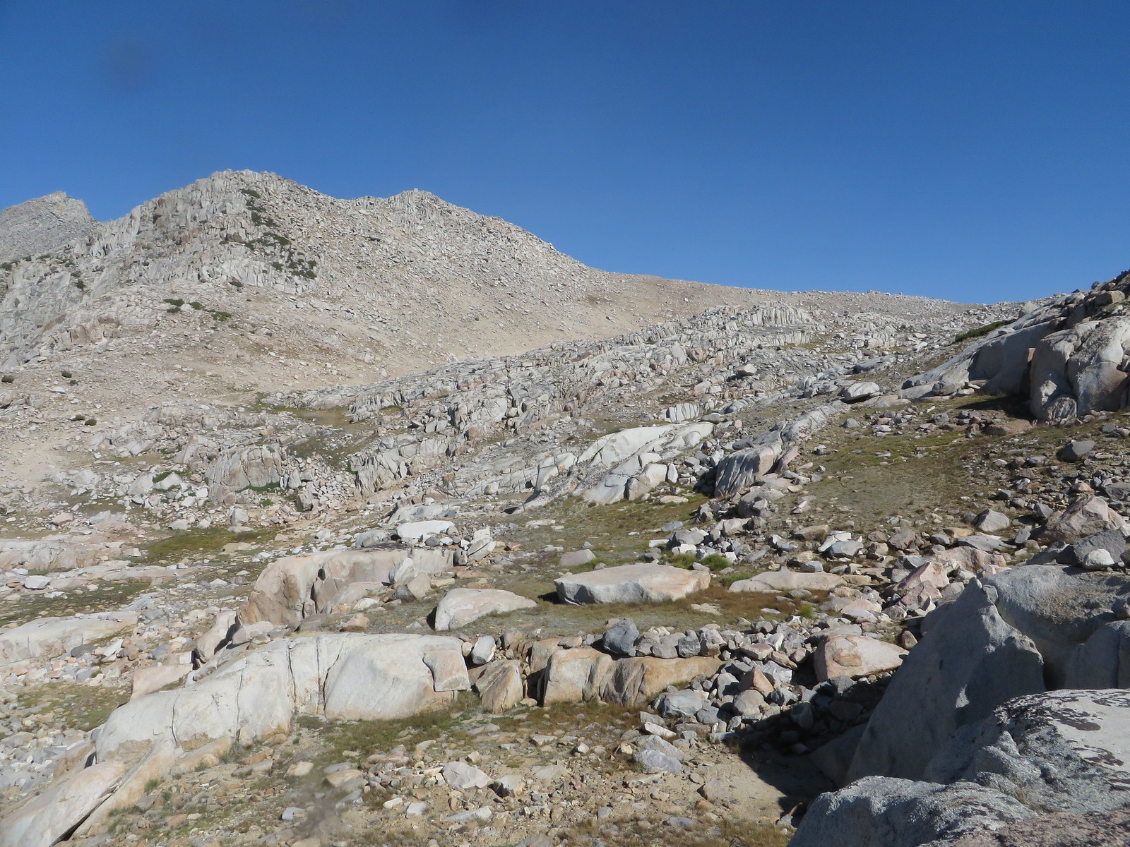
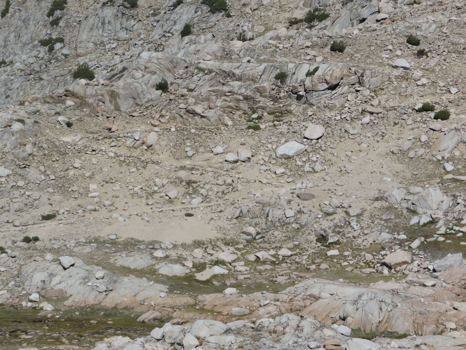
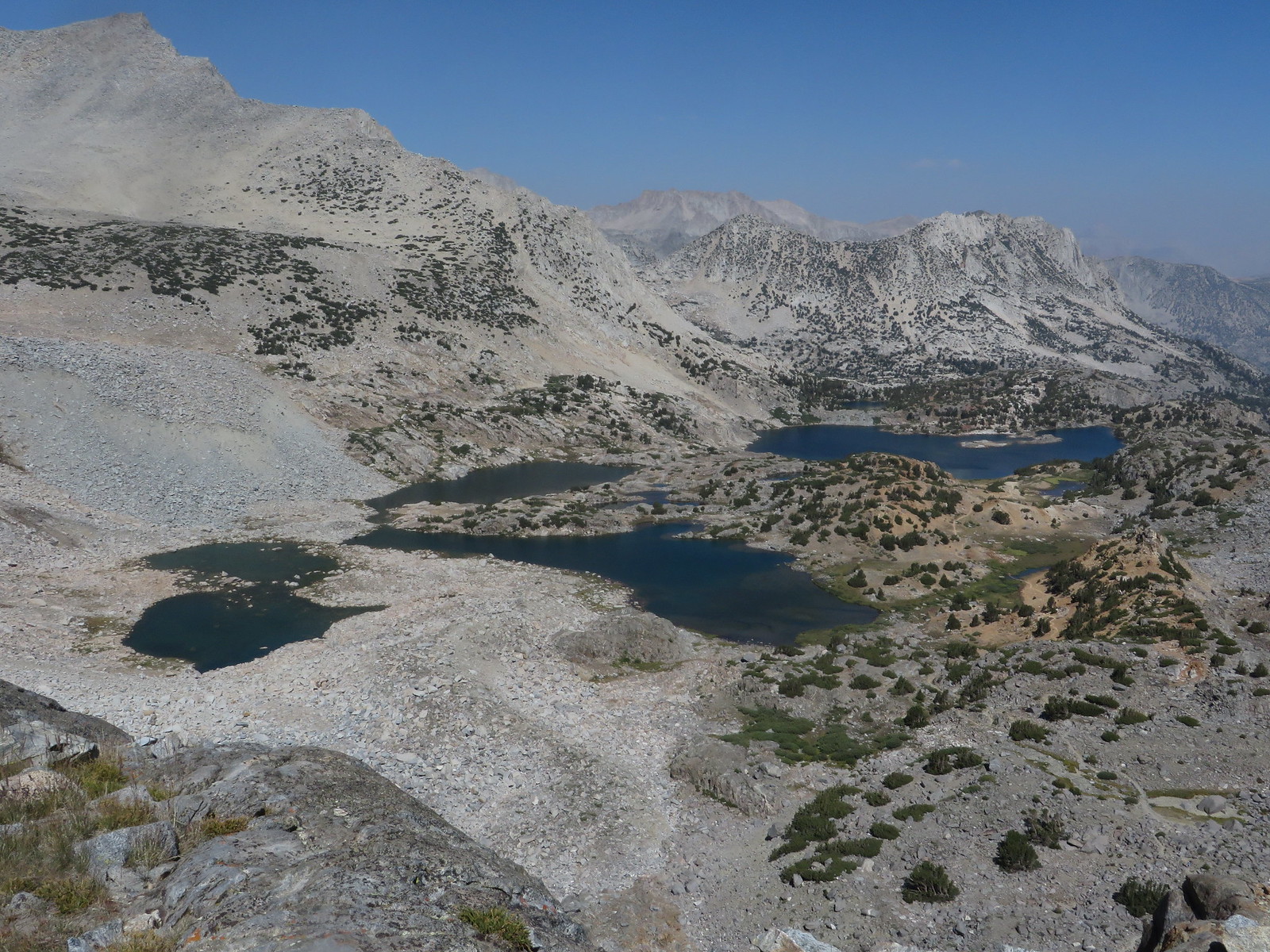
I really enjoyed the trail from Long Lake up to Bishop Lakes. Nice scenery, frequent water sources, minimal steps and soft forgiving soil underfoot that is easy on the knees. It also has varied terrain instead of a steady climb that makes it easy on those of us who spent wayyyy too much time at work over the last three weeks. :\ In no time at all I was at my planned stopping point at Bishop Lakes. After I did my camp setup and chores, I took some pictures and fixed lunch. Unfortunately my pictures were underwhelming as the smoke obscured the scenery.

Image
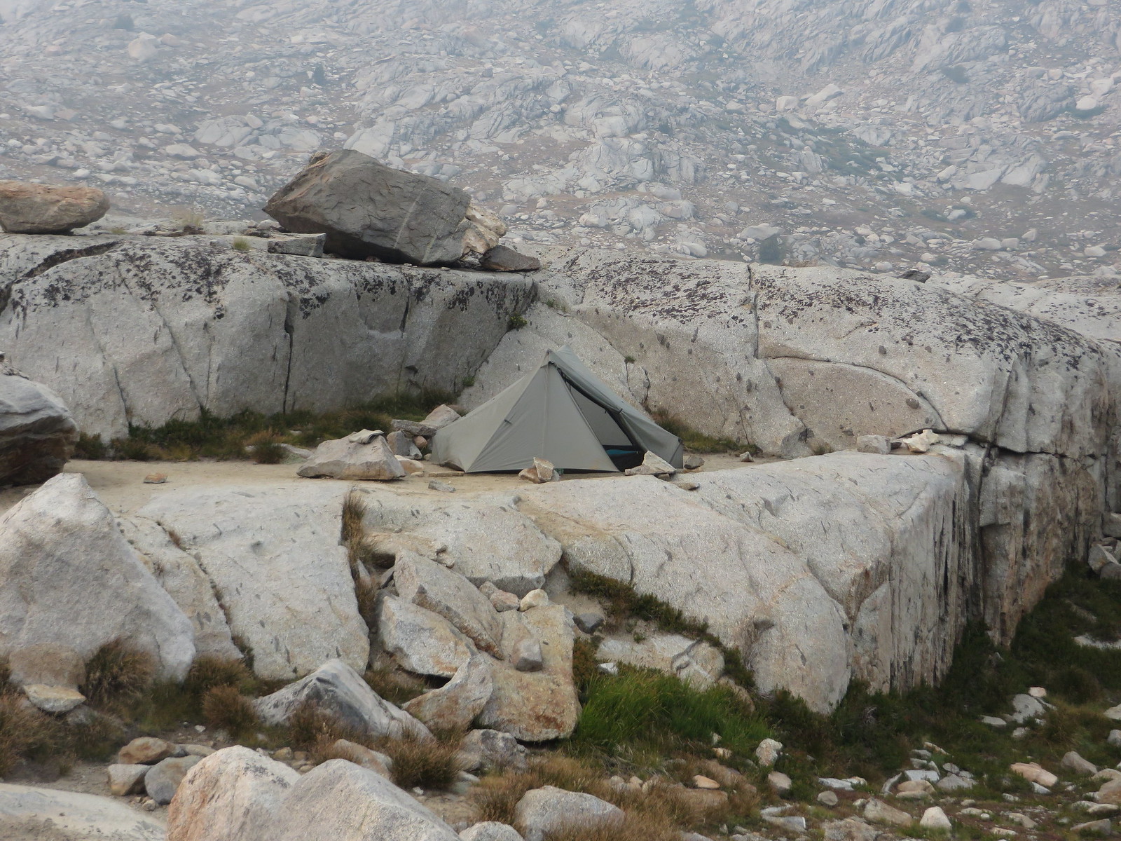
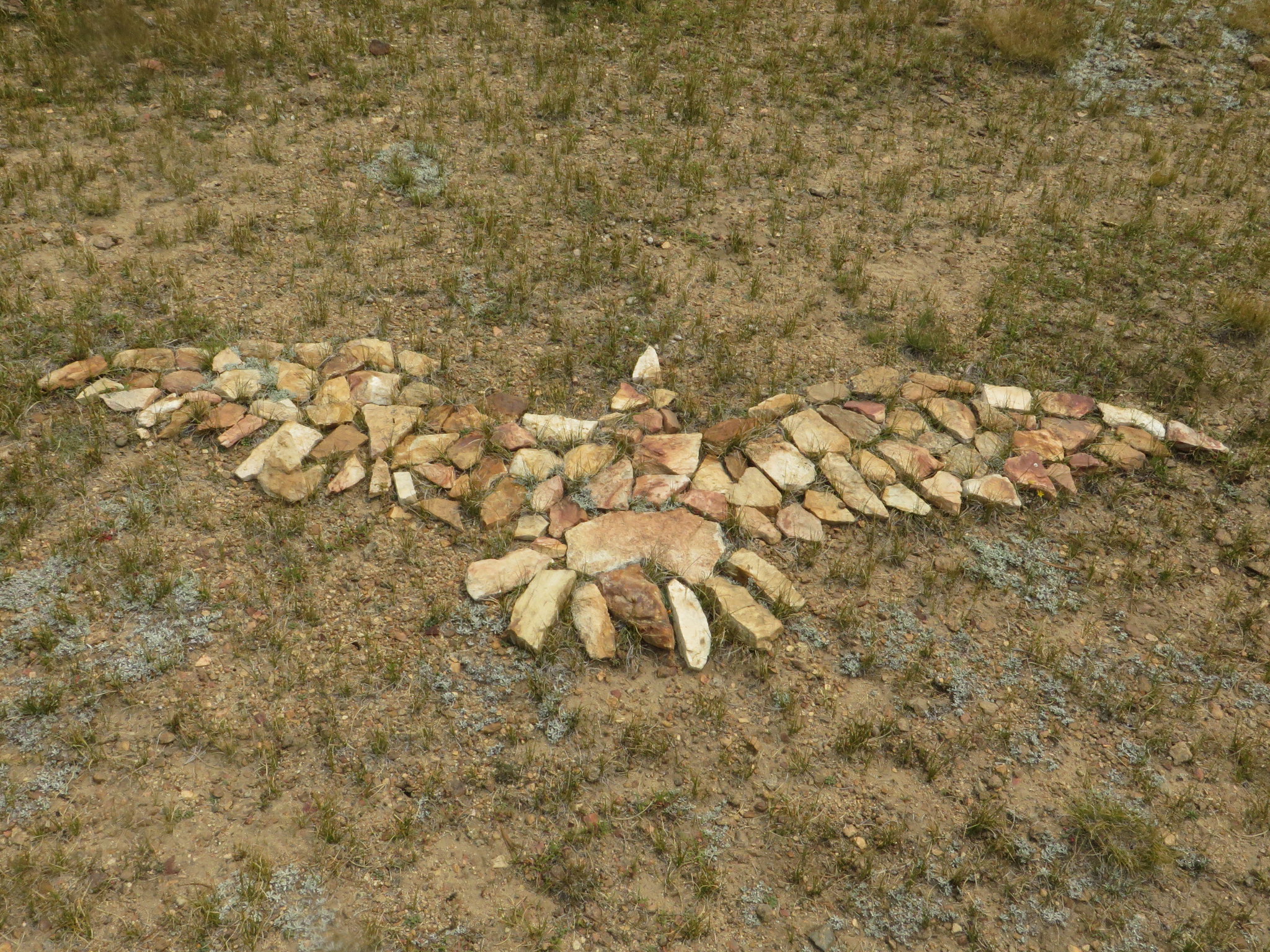
Free form sculpture by someone with time on their hands!
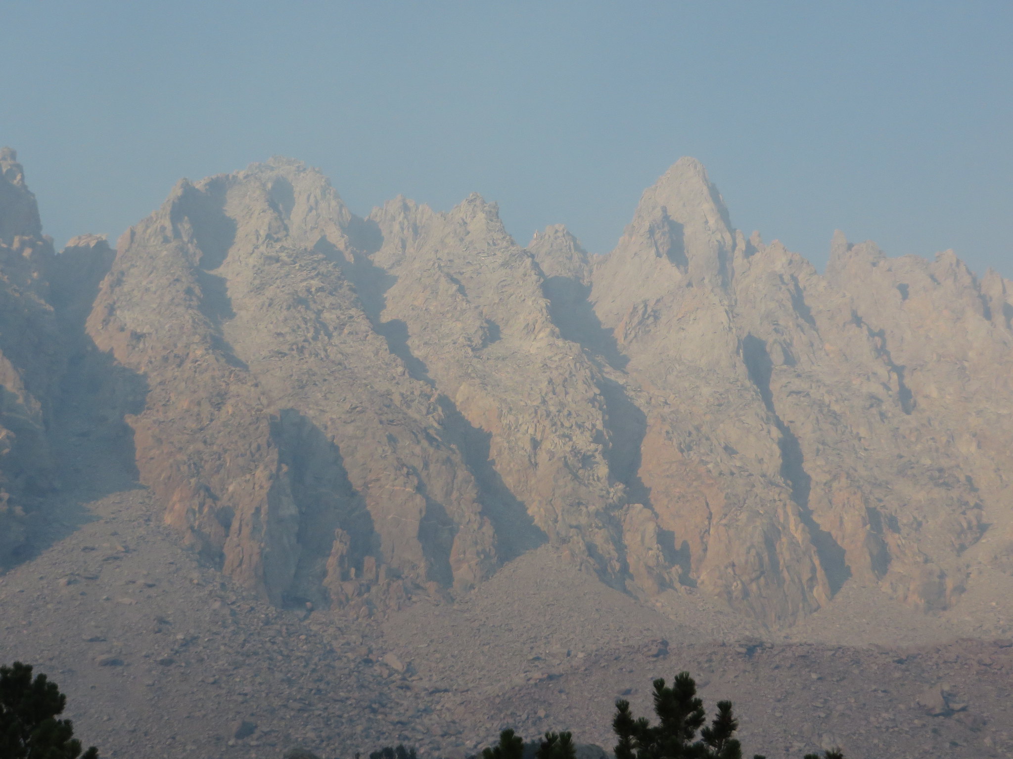
ImagePicture Puzzle

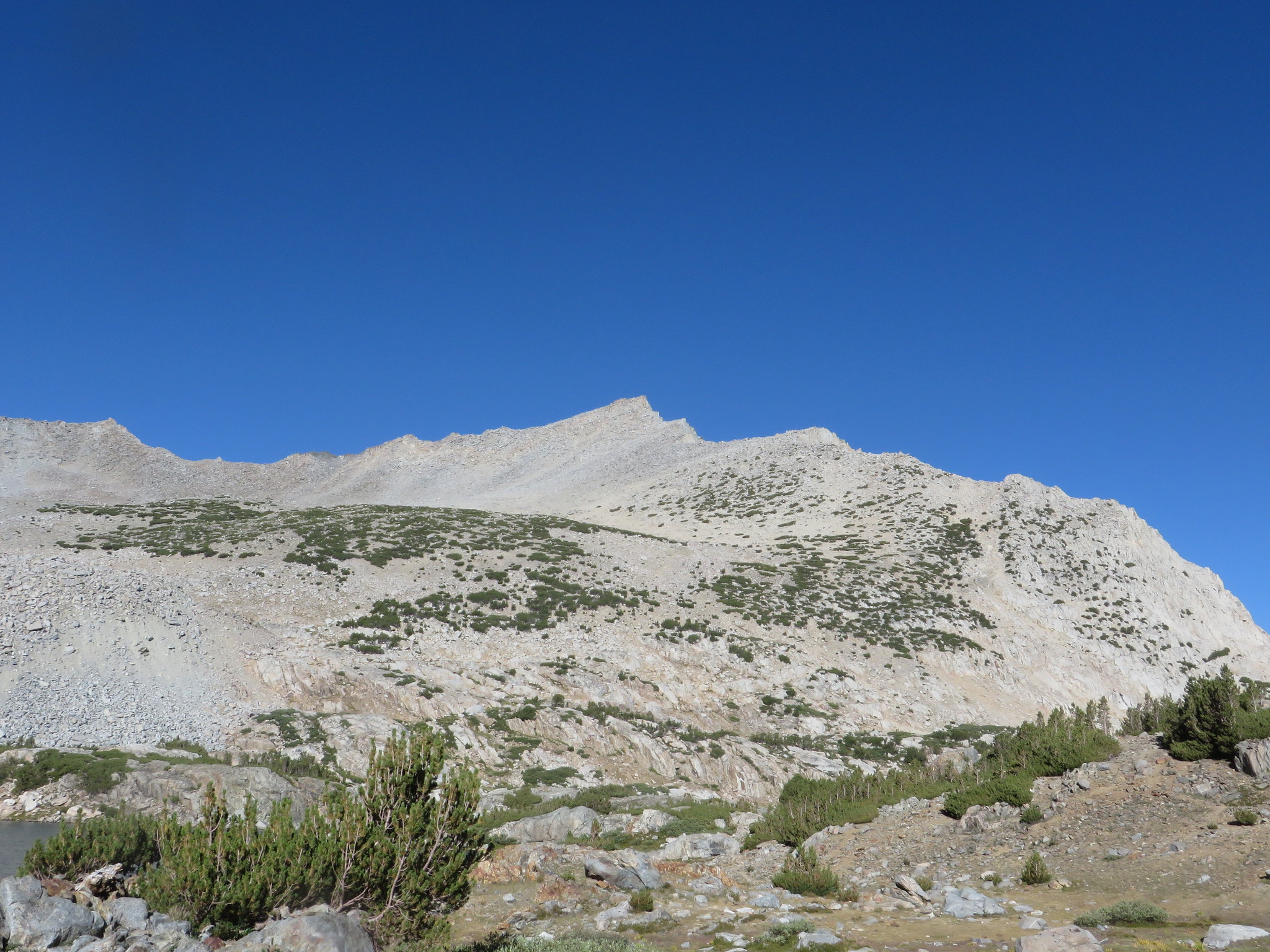
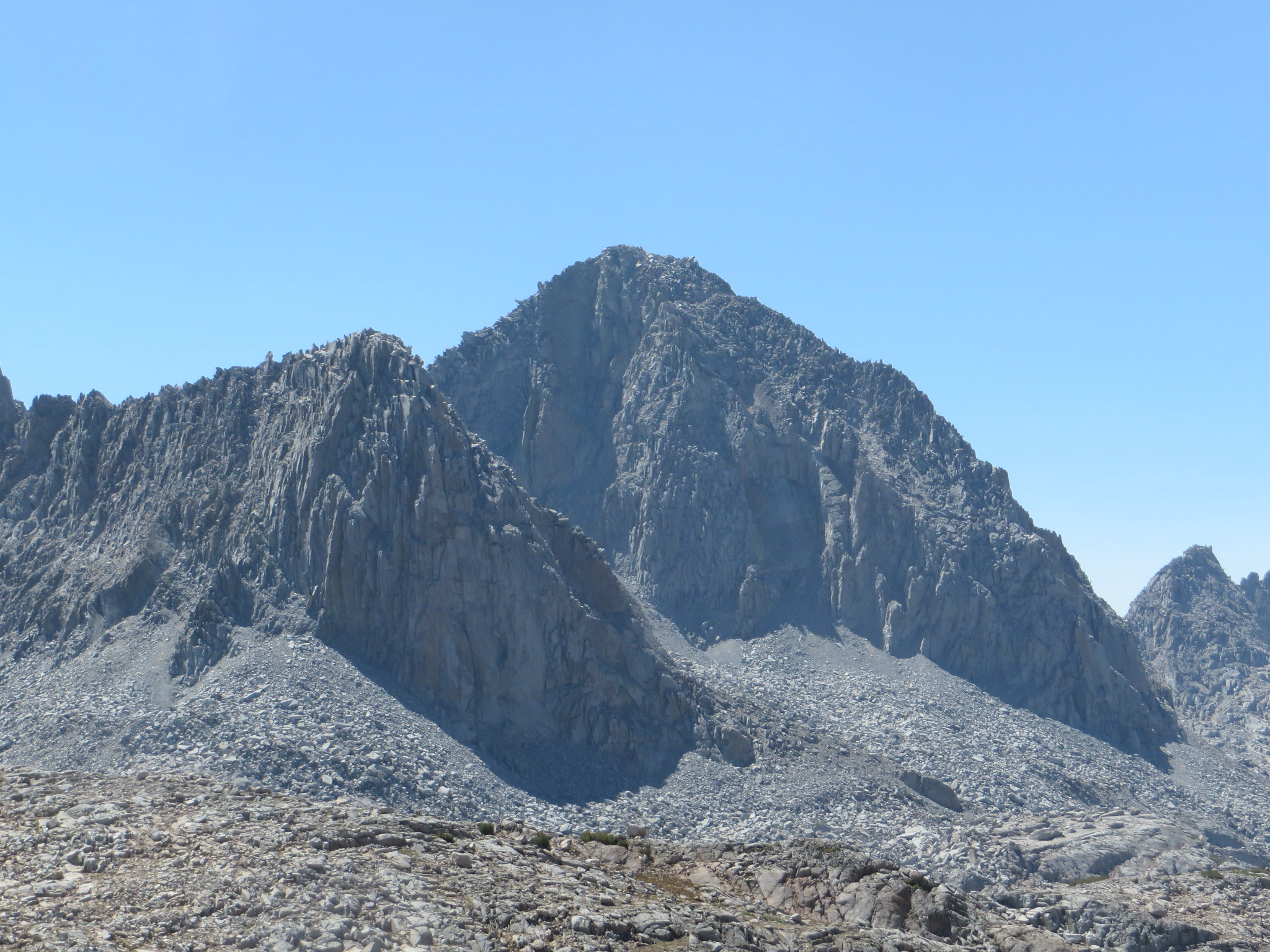
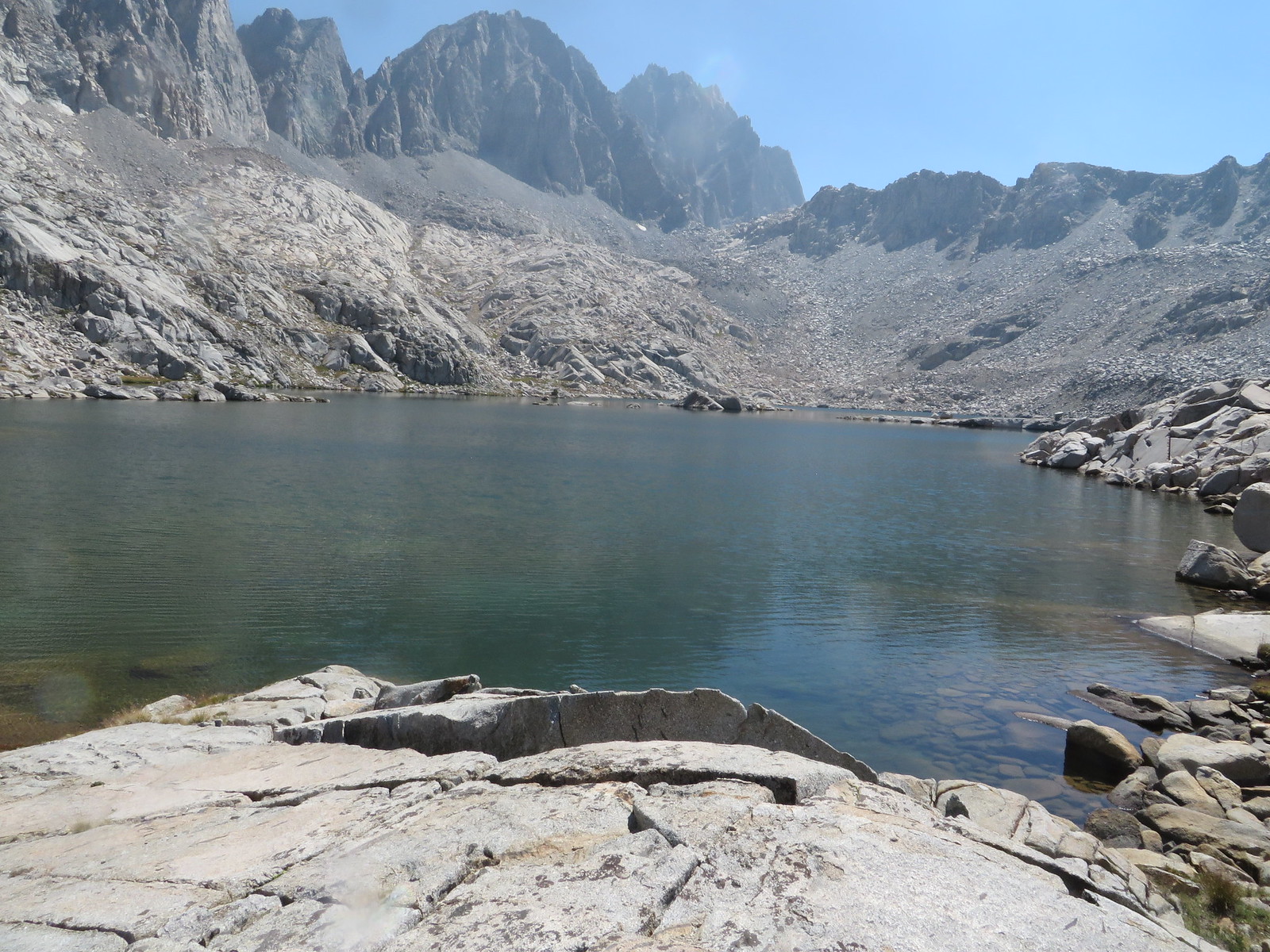
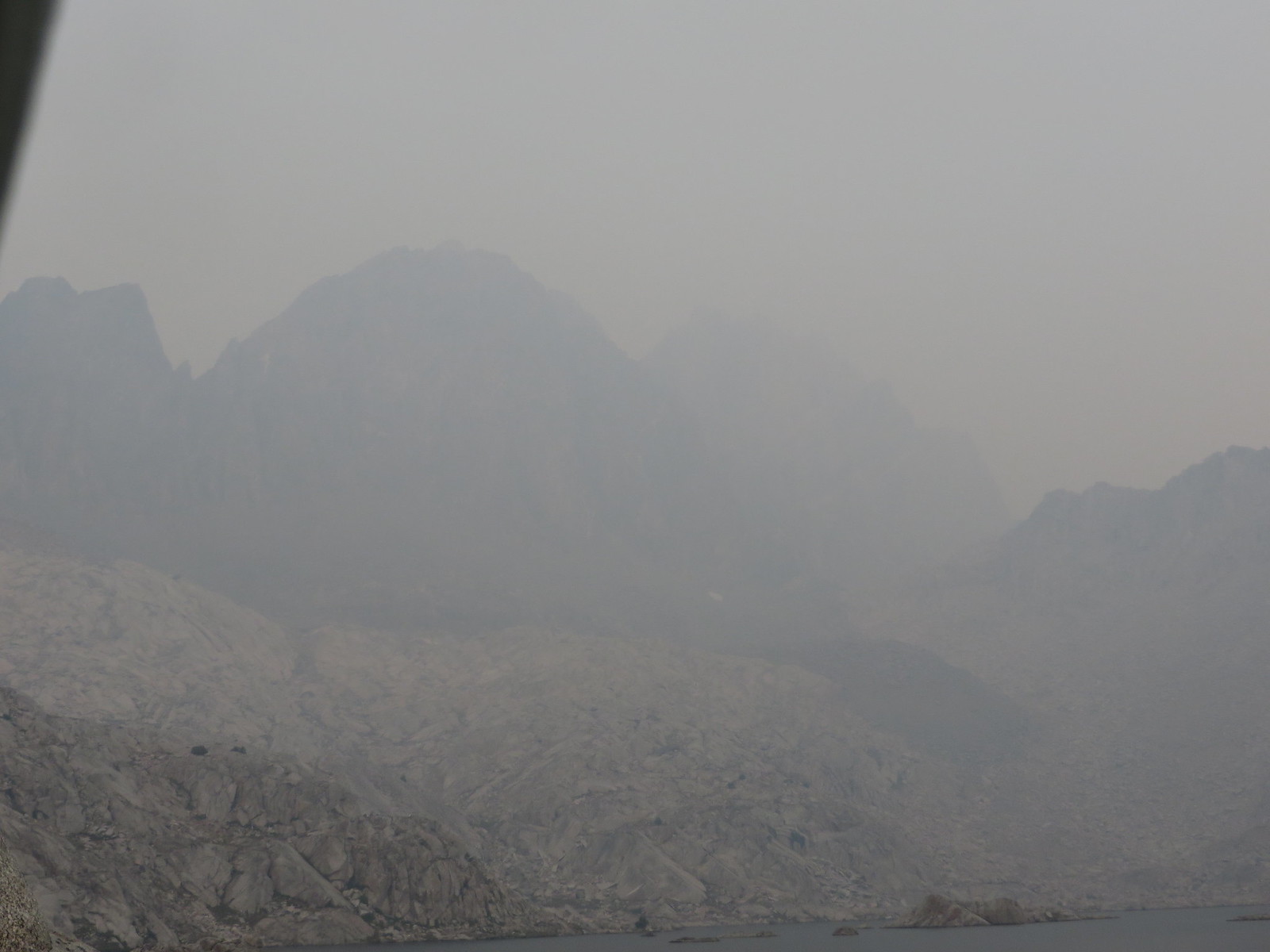
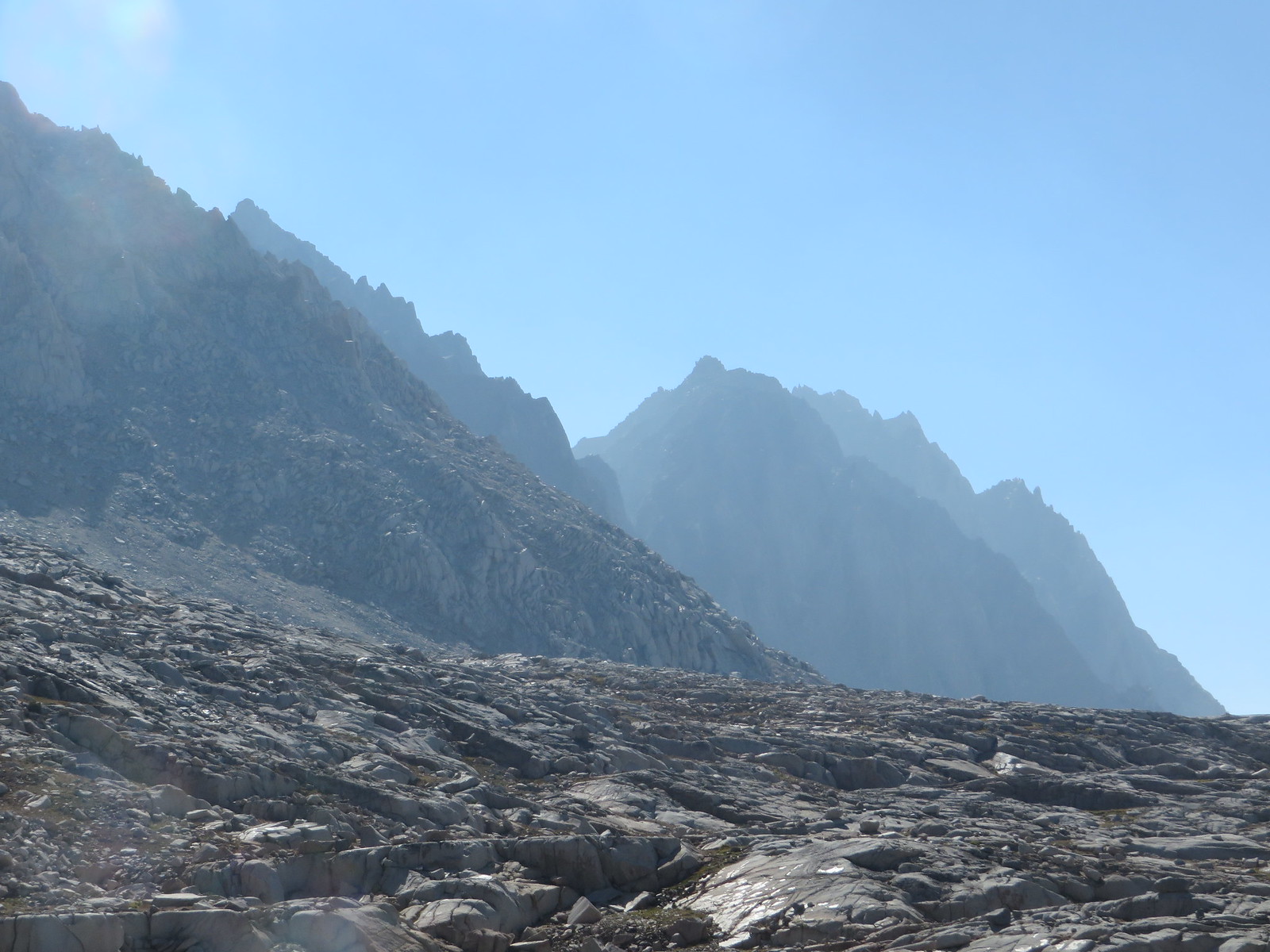
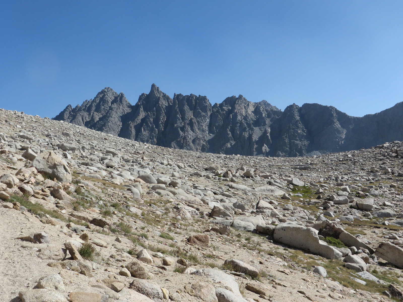
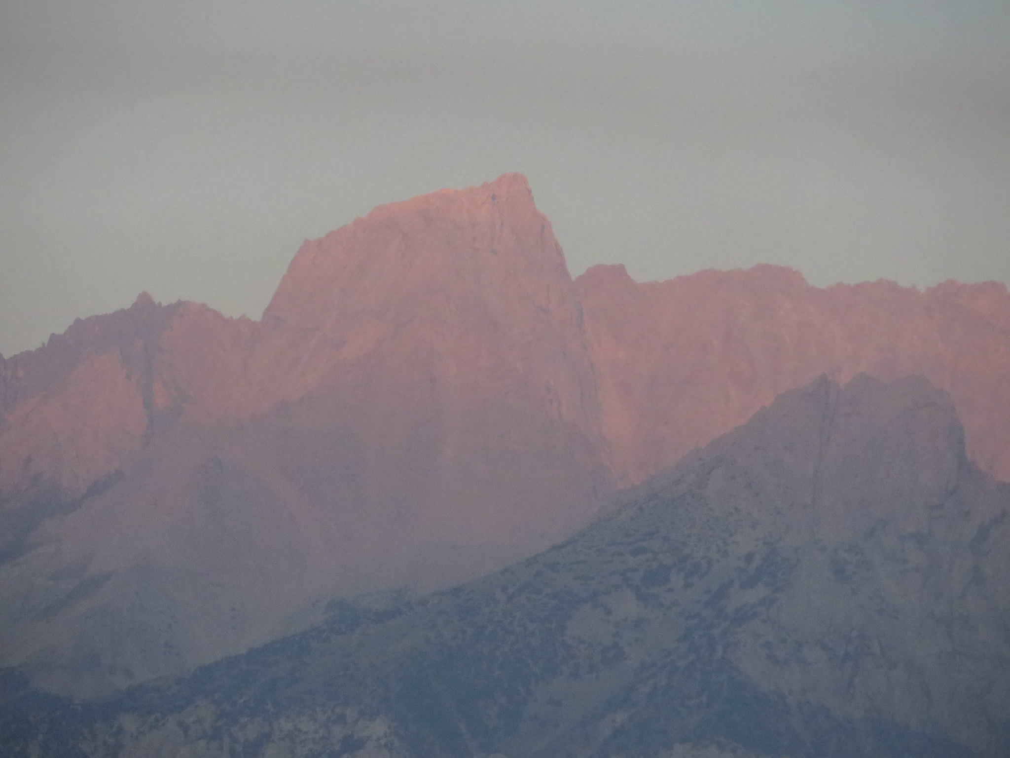
I also included a series of shots of Mt Agassiz as the afternoon progressed. This mirrors my recollection of my afternoons on this hike. Clear in the morning, smoke starting to form at 1pm, getting thicker at 2pm until it was terrible at 5pm until sundown.

Image
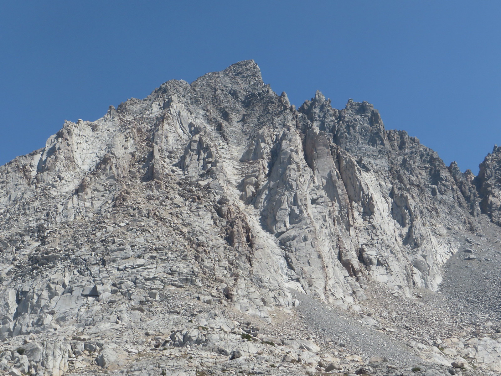
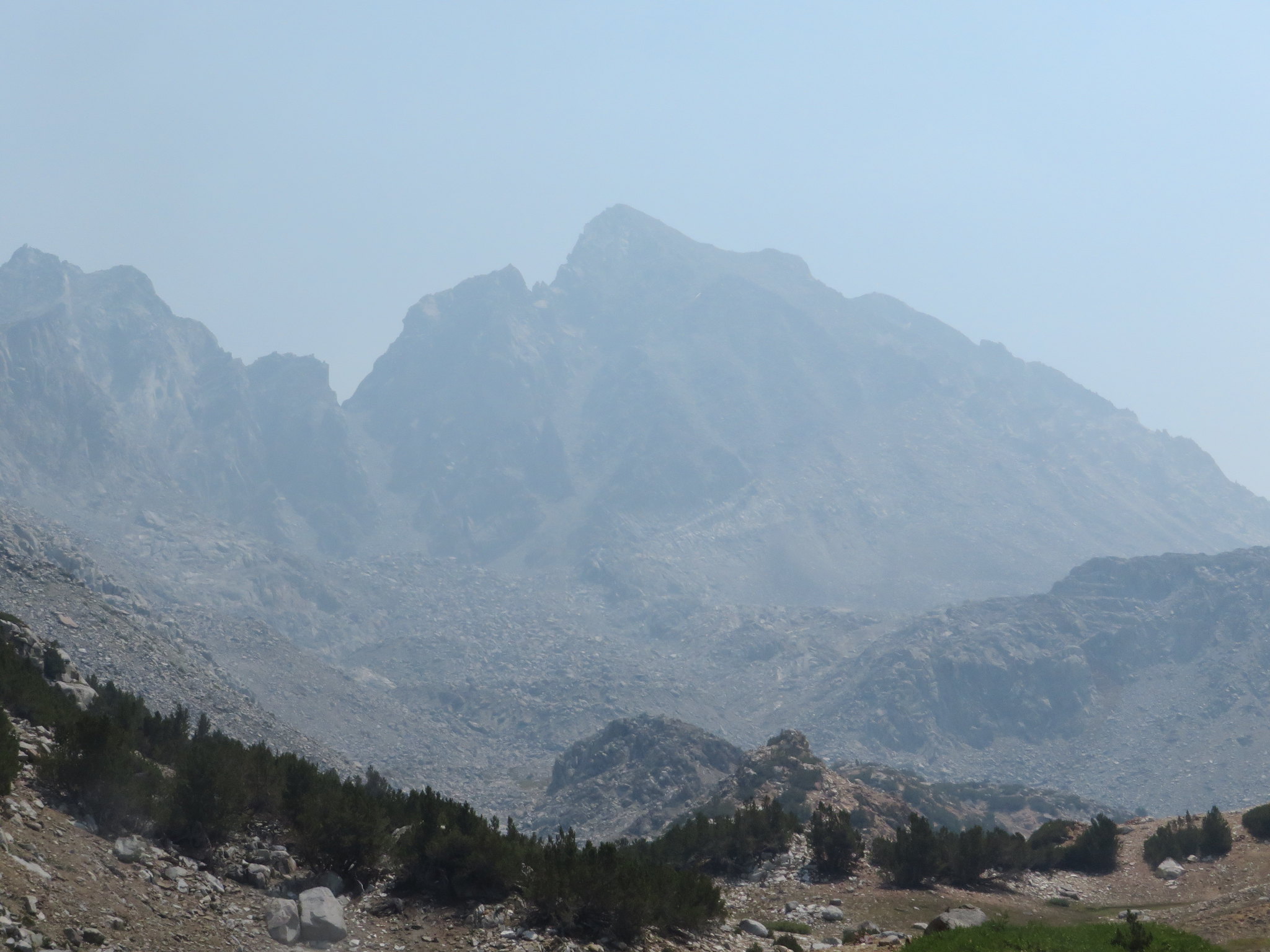
Mt Agassiz at 1:00 PM

Image
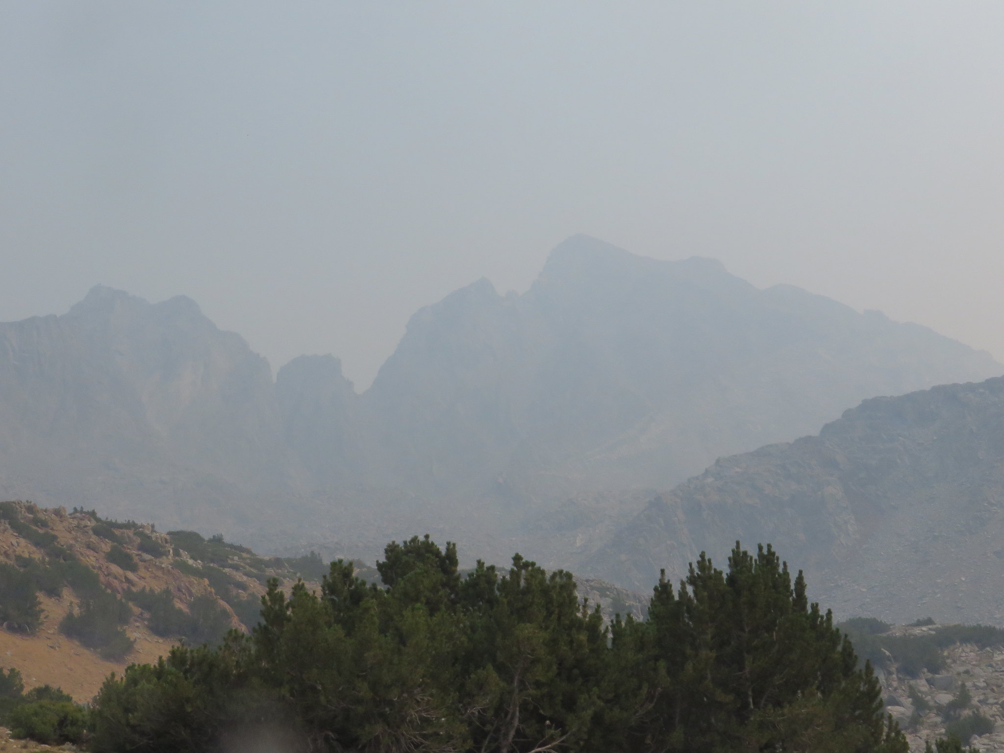
Mt Agassiz at 2:20 PM

Image
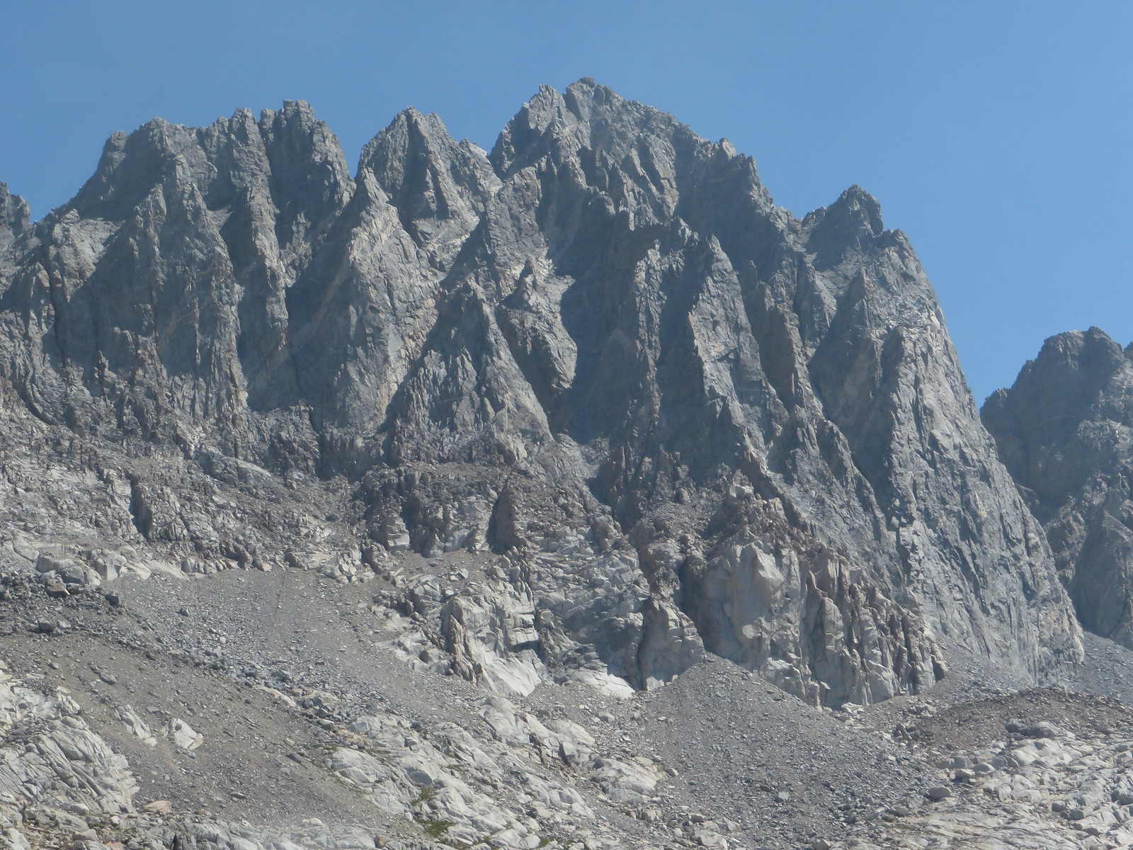
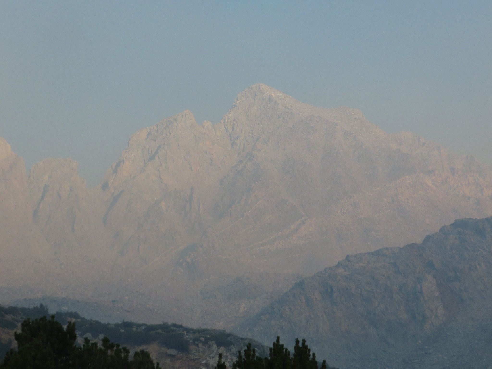
Mt Agassiz at 7:00 PM

Image
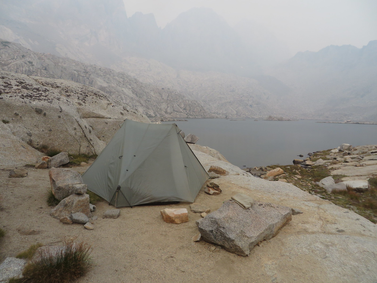
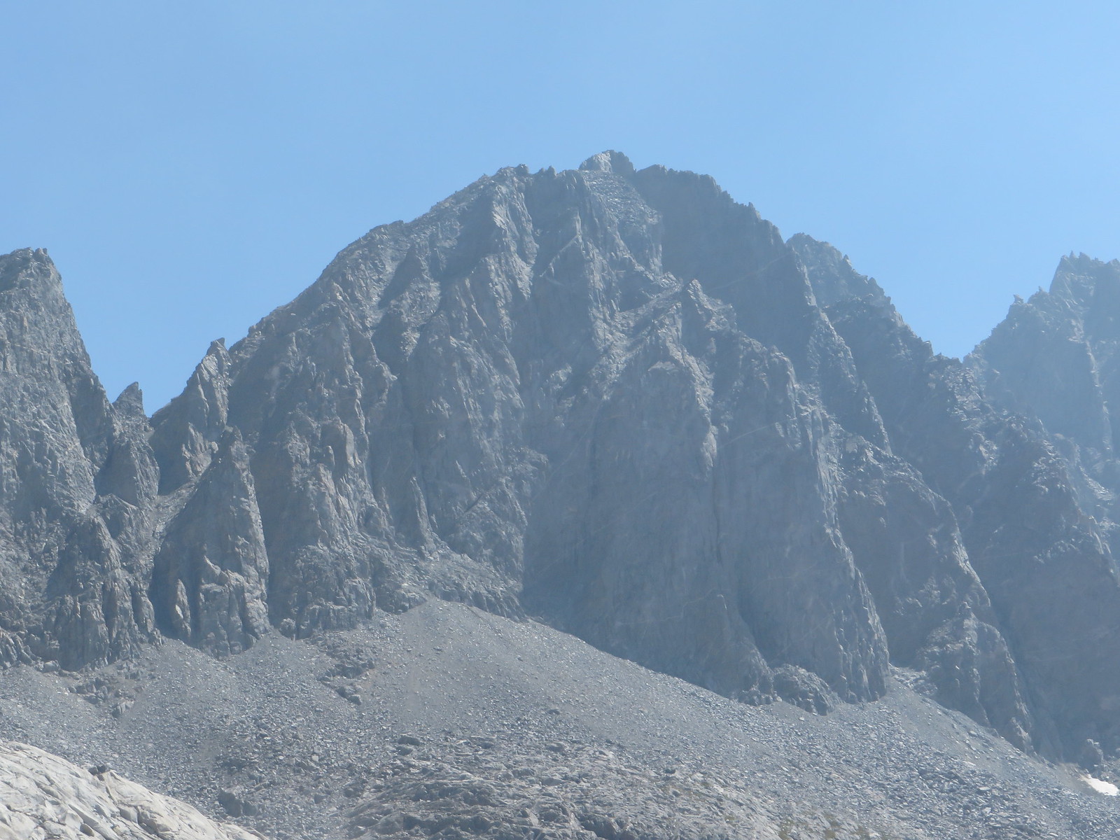
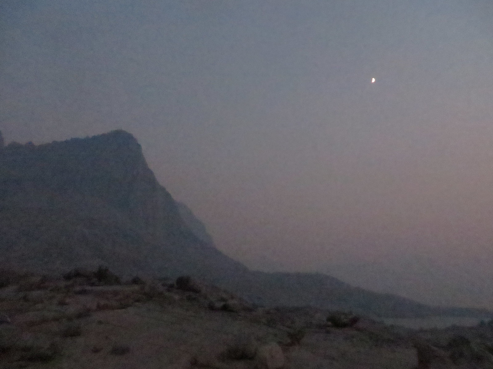
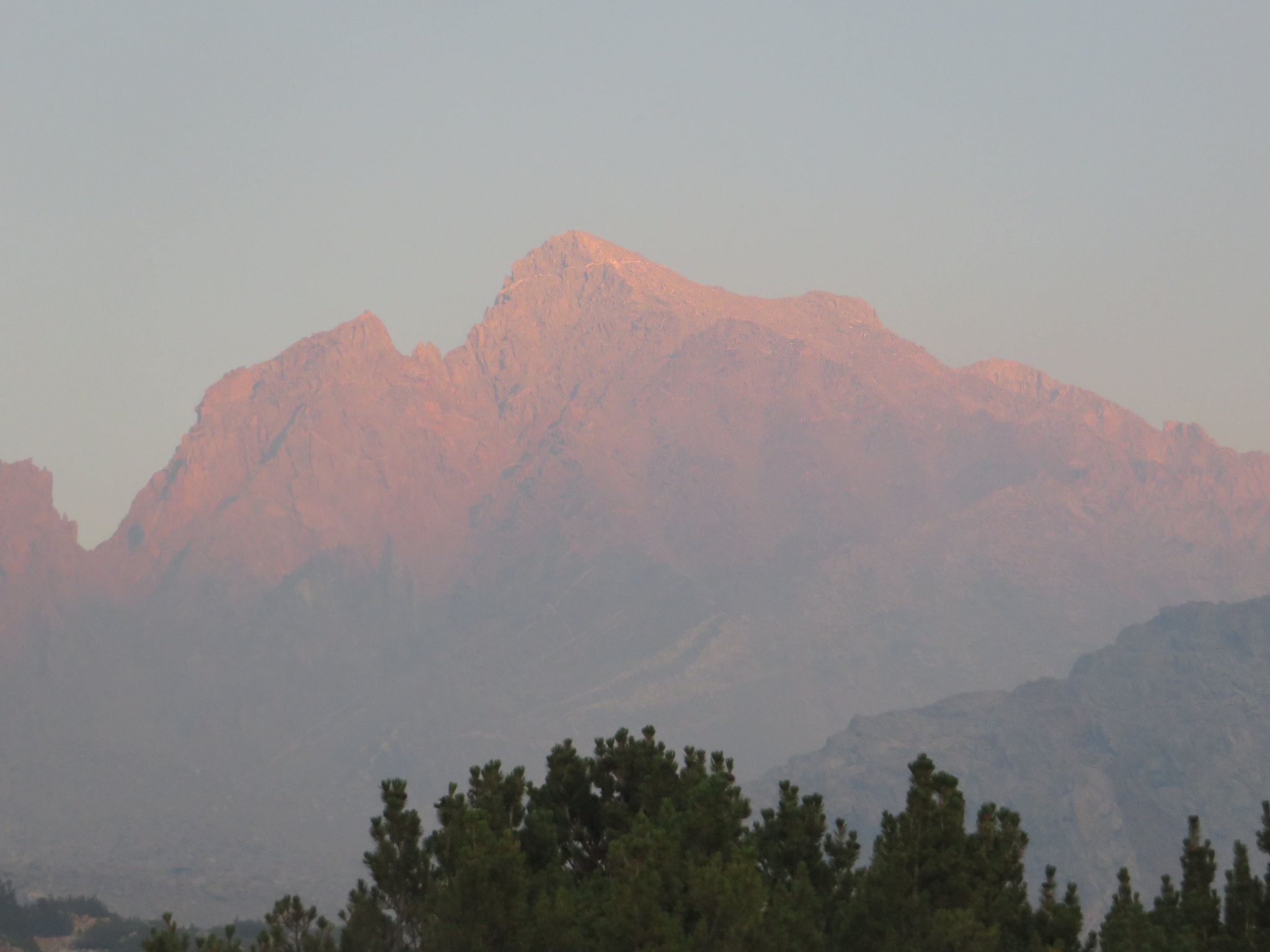
Mt Agassiz at Sunset

Well, at least the weather report said Wednesday would be the last smokey day. (Liars!)
Last edited by KingMouth on Wed Sep 02, 2015 10:26 am, edited 1 time in total.
User avatar
maverick
Forums Moderator
Forums Moderator
Posts: 11834
Joined: Thu Apr 06, 2006 5:54 pm
Experience: Level 4 Explorer

Re: A Smokey Dusy Basin - 8/19 - 8/22

Post by maverick »

Hugh, would like to say, thank you for posting this, it really shows the horrible conditions that exist in the Bishop area, and the Cedar Grove conditions are supposed to be much worse, with air quality at "Hazardous" levels, the Bishop are at "Moderate", 3 stages below. :(
Professional Sierra Landscape Photographer

I don't give out specific route information, my belief is that it takes away from the whole adventure spirit of a trip, if you need every inch planned out, you'll have to get that from someone else.

Have a safer backcountry experience by using the HST ReConn Form 2.0, named after Larry Conn, a HST member: http://reconn.org
User avatar
KingMouth
Topix Acquainted
Posts: 27
Joined: Wed Aug 13, 2014 10:06 am
Experience: N/A

Re: A Smokey Dusy Basin - 8/19 - 8/22

Post by KingMouth »

Thursday: Woke up early to clear skies, and took a few pictures of what I missed the night before. Unfortunately, the sun was coming from the wrong direction. Oh well!

ImageMt Agassiz with clear skies

ImageMt Goode

This was planned to be an easy day 2 for me (which is the day in which I normally suffer). Just 750 feet of elevation gain in about 1.2 miles with outstanding views, followed by two miles of downhill to the lower Dusy Lakes.

After getting to the part of the trail that heads up a talus field, it became obvious that the trail on the map was wrong. I spoke to someone further up the trail who confirmed my suspicions that the trail had undergone a major redesign 10-15 years ago. The new trail was pretty spectacular from an Engineering standpoint. Must have used a ton of dynamite blasting that granite. Also some really nice views!

ImageBishop and Saddlerock Lakes

ImageLower Bishop Pass Trail from Bishop Lakes

ImageSwitchbacks!

It is impossible to capture the grandeur of the switchbacks on that steep face. The top 1/4 mile is anticlimactic until you see the sign and all the hikers loitering at the top.

ImageThe top

The view of the Dusy Basin from the top improves as you descend. Initially the Palisade Peaks are in profile and difficult to differentiate. Columbine, Isosceles and Giraud are more dramatic as you descend the pass.

ImageMounts Agassiz, Winchell, Thunderbolt and North Palisade, left to right

ImageIsosceles and Columbine

ImageUpper Lake

My plan for the trip was to explore off trail the entire drainage from the lower lakes up to the Lake at the base of Thunderbolt Pass. I got the idea from someone who suggested it might be nice to follow the drainage downhill. It fit well with my plan to stay high and limit hiking to the morning when it was still clear.

I left the trail before I got down to the lowest lake and went cross country to the next to highest lake. Made camp and took a nap!

After my nap I tried to take more pictures, but the smoke was too thick. Sat in the tent and read my new Kindle with backlighting. Hopefully it would be clear tomorrow.
Last edited by KingMouth on Wed Sep 02, 2015 6:14 am, edited 1 time in total.
User avatar
Rockyroad
Topix Regular
Posts: 275
Joined: Tue Aug 17, 2010 9:05 pm
Experience: N/A
Contact:

Re: A Smokey Dusy Basin - 8/19 - 8/22

Post by Rockyroad »

My eyes were burning after seeing your first set of photos! Thanks for the report.
User avatar
KingMouth
Topix Acquainted
Posts: 27
Joined: Wed Aug 13, 2014 10:06 am
Experience: N/A

Re: A Smokey Dusy Basin - 8/19 - 8/22

Post by KingMouth »

Friday: Slept in as it was cold. This was the only cold night with temps in the mid 30s, whereas the other nights were in the mid 40s. Crystal clear skies as usual to start the day.

ImageFrosted bear canister

ImageBright blue skies

From my campsight I was able to scout the initial path up the drainage. I decided to stick to the area near the creek on the left and re-evaluate once I made some progress.

ImageMy initial path

As it turned out it was almost all class one with a few sections of scrambling. The biggest challenge was avoiding the thorny thickets near the water.

ImageLower Dusy Lakes with Black Giant in the distance

I ended up following a natural path a little to the west (left of the creek). A piece of cake even for me. Isosceles was also a great reference to the location of the next lake. The next lake (~11300) was serene as there was not a soul in sight. There was a great view of the Palisades and Isosceles, but I was taking photos looking into the morning sun.

ImageMounts Agassiz & Winchell and Isosceles Peak

I went around the west shore, crossed the inlet and climbed a ramp to the top of the ridge. I promptly found a really nice use trail that is used to get from the upper lakes to Knapsack Pass. There was a great view of Isosceles Peak from this vantage, and shows why it got its name!

ImageInlet of lake 11300 looking toward Giraud Peak

ImageIsosceles Peak from area between Lakes 11300 and 11388

The distance between these lakes is misleading on the map; these three lakes are very close together. After crossing to the north side at the outlet of 11388, I traveled along the north shore to the high area northwest of the last lake (~11400).

ImageDusy Lake 11388 looking toward Giraud Peak

ImageNorth shore of Lake 11388 looking toward Agassiz, Winchell, Thunderbolt and North Pal

I dropped my pack and walked around the shore of the lake looking for a good campsite with a nice view. The southwest shore is really rocky and difficult going. Heading around the northwest shore, the terrain becomes sandy and wet, before getting rocky on the north shore.

ImageLake 11400

I found a great campsite on a sandy part of a granite shelf. It was a challenge to get it staked right as there was just enough soil to cushion, but not enough for tent stakes. It was nice to have just enough rope to make it work!

ImageNice Campsite in the smoke

ImageCampsite

I was vegging in my tent when I heard voices for the first time in a day and a half. Two guys were commenting on my campsite as they wandered by. Had a nice chat before they continued on.

I tried to take more pictures, but the smoke made all the colors look washed out even when properly exposed. The effect increased with distance. I included some anyway. :o

ImageAgassiz

ImageWinchell

ImageThunderbolt

ImageNorth Palisades and Starlight

The only thing left to do was scout my cross country route back to Bishop Pass.

ImageTomorrow's route diagonal from lower left to upper right

ImageSmokey evening view of Thunderbolt and North Pal. Yuck!

ImageMoon over Isosceles Peak
Last edited by KingMouth on Wed Sep 02, 2015 10:50 am, edited 2 times in total.
User avatar
maverick
Forums Moderator
Forums Moderator
Posts: 11834
Joined: Thu Apr 06, 2006 5:54 pm
Experience: Level 4 Explorer

Re: A Smokey Dusy Basin - 8/19 - 8/22

Post by maverick »

Smokey evening view of Thunderbolt and North Pal. Yuck!
:eek:
Professional Sierra Landscape Photographer

I don't give out specific route information, my belief is that it takes away from the whole adventure spirit of a trip, if you need every inch planned out, you'll have to get that from someone else.

Have a safer backcountry experience by using the HST ReConn Form 2.0, named after Larry Conn, a HST member: http://reconn.org
User avatar
bluefintu
Topix Regular
Posts: 188
Joined: Tue Apr 19, 2011 10:57 pm
Experience: N/A

Re: A Smokey Dusy Basin - 8/19 - 8/22/15

Post by bluefintu »

Thank you for the trip report, my son and I are still debating where to go this weekend. That campsite picture made my skin crawl. Is that a young girl in the photo?
User avatar
giantbrookie
Founding Member & Forums Moderator
Posts: 3582
Joined: Wed Dec 28, 2005 10:22 am
Experience: N/A
Location: Fresno
Contact:

Re: A Smokey Dusy Basin - 8/19 - 8/22/15

Post by giantbrookie »

I'm glad you were able to get some smoke free views. I was downwind of the Rough Fire back in early August (Little Lakes Valley to Bear Basin to Pinnacles Creek to North Lake) and it was quite unpleasant. I can't even count how many times I had coughing/asthma attacks and the times that my eyes burned. In spite of the choking from the smoke there are still many positives associated with being up there.
Since my fishing (etc.) website is still down, you can be distracted by geology stuff at: http://www.fresnostate.edu/csm/ees/facu ... ayshi.html" onclick="window.open(this.href);return false;
User avatar
KingMouth
Topix Acquainted
Posts: 27
Joined: Wed Aug 13, 2014 10:06 am
Experience: N/A

Re: A Smokey Dusy Basin - 8/19 - 8/22/15

Post by KingMouth »

Saturday: I decided I had had enough smoke and was planning my exit. I debated spending a night at Ruwau Lake on the way out, but decided against it.

I got up early and got a few nice shots before the sun cleared the Palisades.

ImageSunrise over the Palisades

ImageIsosceles Peak

As I headed up the ridge, I got a nice shot of the Upper Dusy Basin

ImageUpper Dusy Basin

The Dusy Basin proved to be one giant and easy to navigate cross country playground. It was impossible to get into trouble as there was always an easy solution.

ImageUpper Lake (11360)

ImageCross country choices

I eventually made my way across to the smooth switchbacks of the Bishop Pass trail.

ImageBishop Pass trail

That section of the trail is smooth, scenic and stepless.

ImagePalisades in smokey profile

ImagePicture Puzzle over Bishop Pass

When I'm in a hurry or going downhill I take few pictures, so there are not many left.

ImageBishop and Saddlerock Lakes

ImageHiker at the top of switchbacks

ImageLower switchbacks in profile

ImageUpper switchbacks

ImageLong Lake looking north

The trail from Long Lake to South Lake was a zoo. Picnics, fishermen in waders, guys drinking beer out of a cooler, a wedding party. I saw it all on the way down. The close proximity to Bishop and the nice trail mean that it is always going to be heavily utilized. I'm glad I started mid-week.

I will say that all the accounts of Dusy were spot on: everyone camps at the first and last lakes on the trail. The remaining lakes were all mine! Dusy has plenty of solitude if you're willing to work for it.

I may go back next summer to see it sans smoke. Maybe I'll drag my daughter along, as she would really enjoy the scenery.
User avatar
peaksandpotatoes
Topix Acquainted
Posts: 64
Joined: Wed Oct 15, 2014 10:28 am
Experience: N/A
Location: Oakland, CA
Contact:

Re: A Smokey Dusy Basin - 8/19 - 8/22/15

Post by peaksandpotatoes »

Thanks for the great report! You got some great shots despite the smoke!
http://peaksandpotatoes.wordpress.com/" onclick="window.open(this.href);return false;
Post Reply

Who is online

Users browsing this forum: Dirtnbrews, Google Adsense [Bot], iluka, muleaaron and 76 guests