
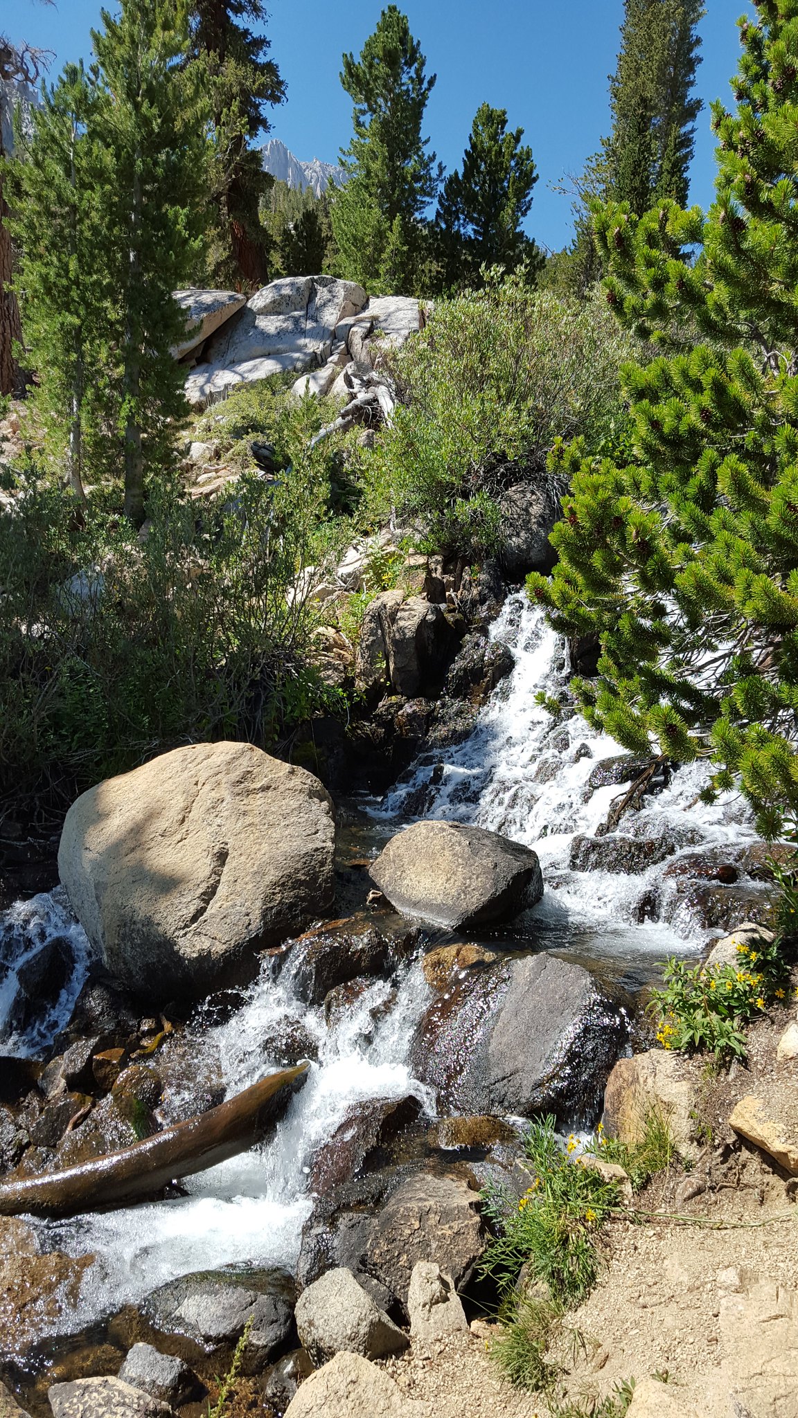
Anyway, the weather was perfect and we were surprised with the amount of water flowing down the adjacent creek.
 20150810_110521 by bahuffma1, on Flickr
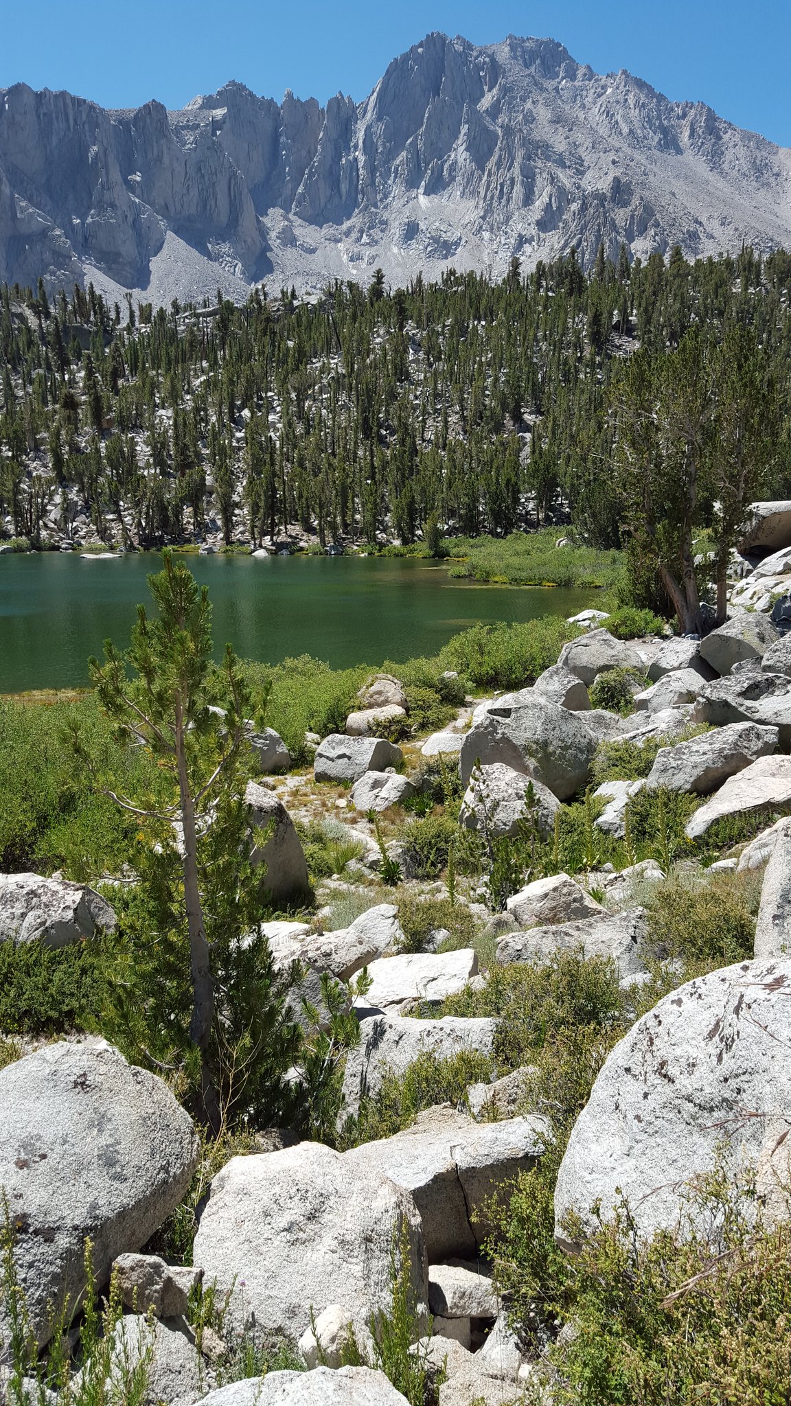
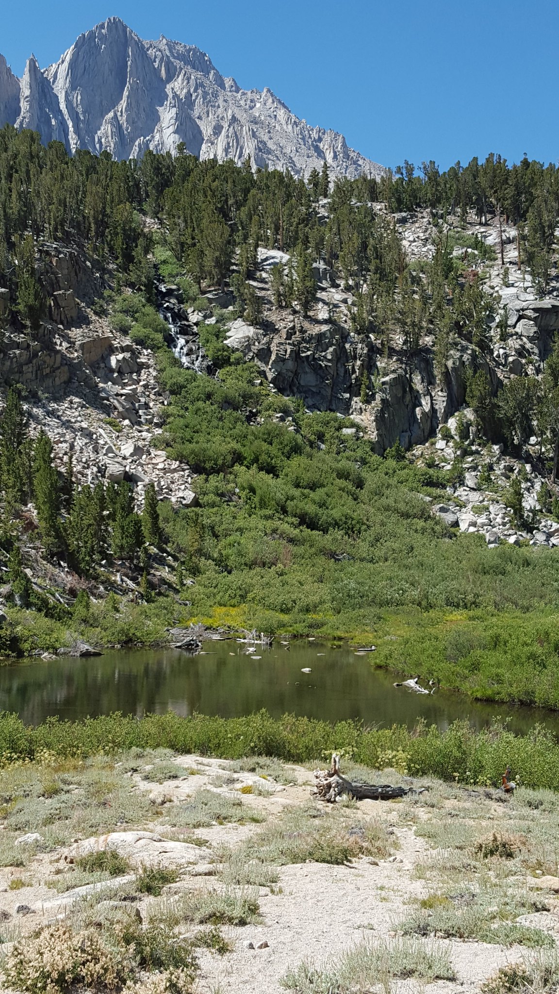 20150810_111008 by bahuffma1, on Flickr
First Lake!
Compared to the trail up to GTL the day before, this trail was like a highway...just not in the sense of a lot of people! Just way more manicured.
 20150810_120629 by bahuffma1, on Flickr
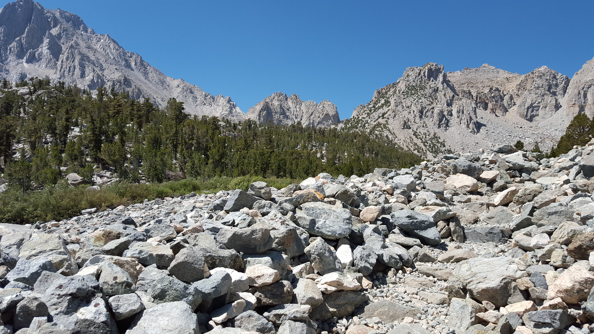 20150810_112936 by bahuffma1, on Flickr
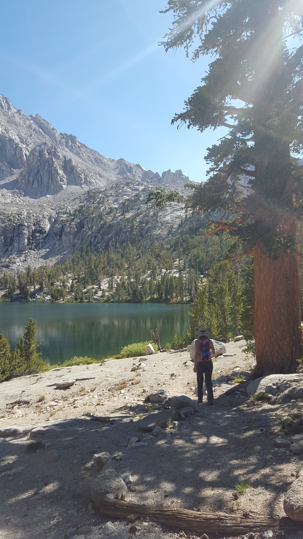
We made good time up trail to GIlbert Lake!
 20150810_114943 by bahuffma1, on Flickr
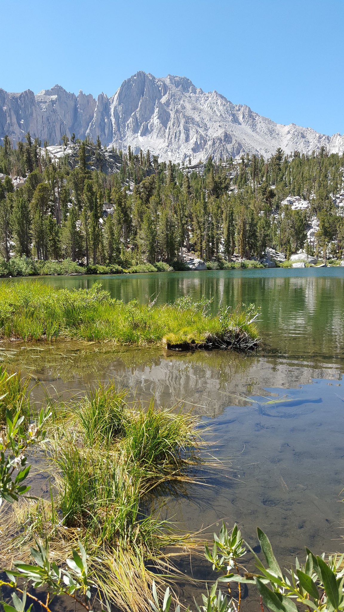 20150810_113223 by bahuffma1, on Flickr
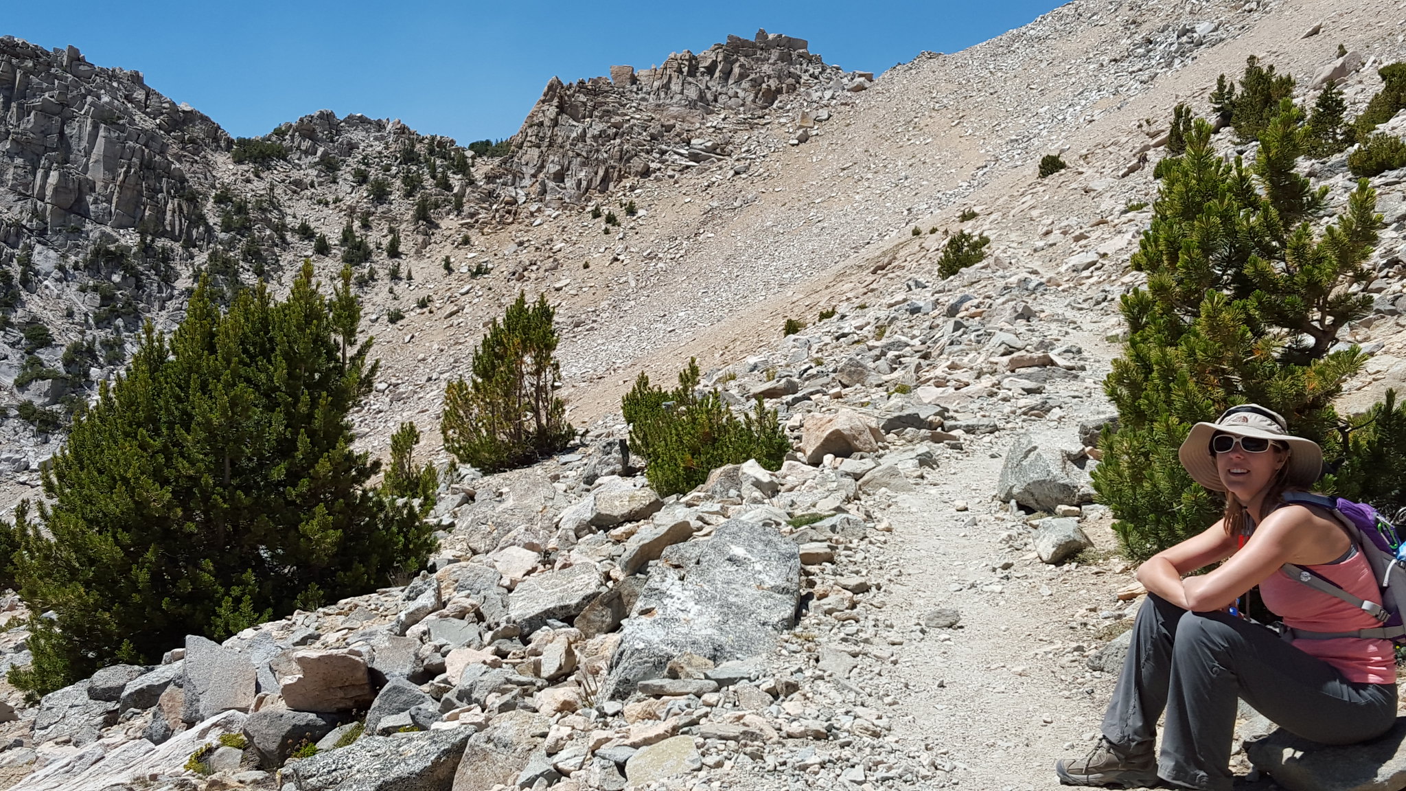
At this point, realizing that we were cruising up this trail...i brought up the potential to go up to the pass
 20150810_122100 by bahuffma1, on Flickr
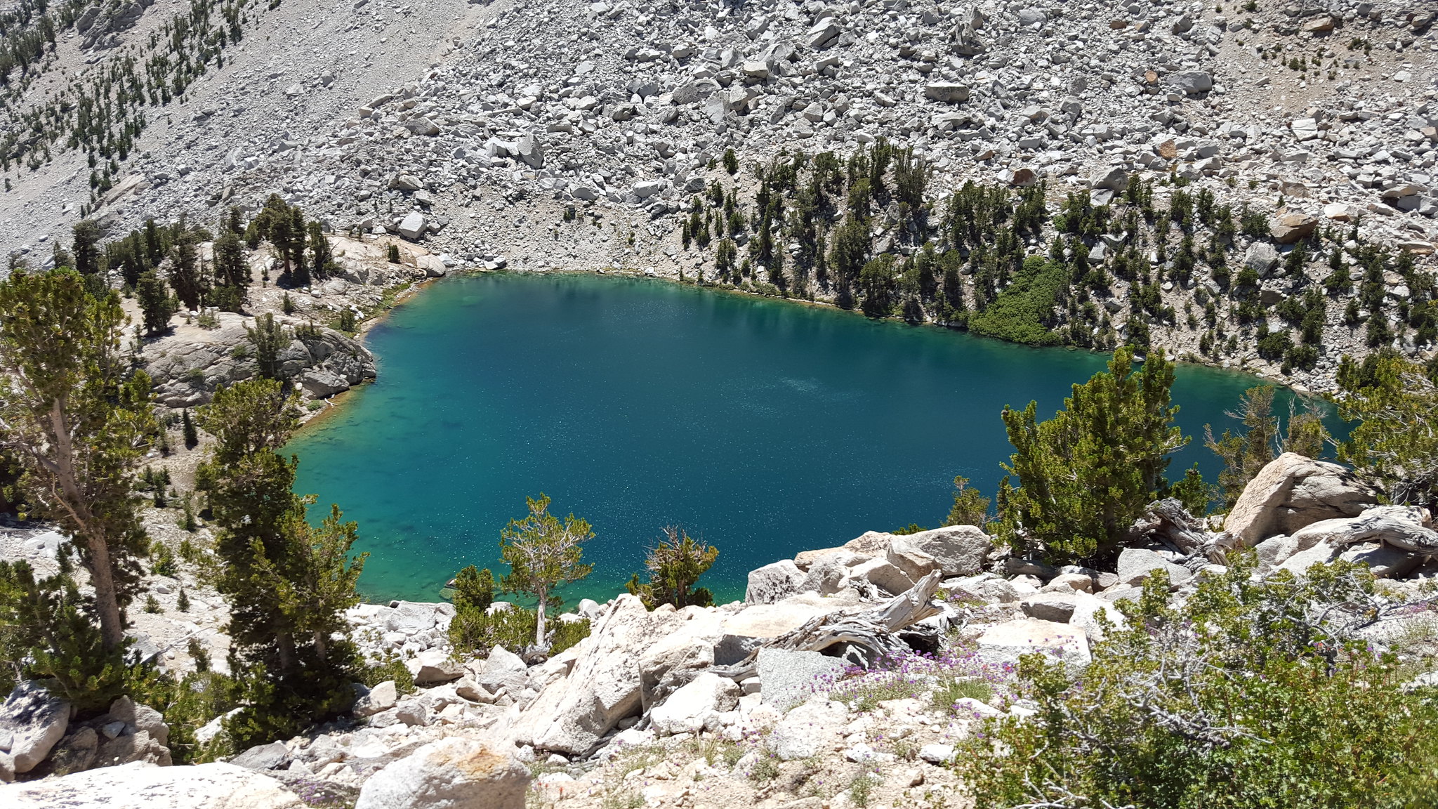 20150810_122630 by bahuffma1, on Flickr
We stopped at a nice viewpoint overlooking Heart Lake and figure we'd just hang here, take it all in, then decide if we wanted to go on. That's when the "highway" caught up to us. A group of about 10 guys came up whom were heading into Charlotte Lake. It seems like everyone we saw that day was heading there...must be nice???
One thing that did worry me a little is that one of the guys in this group was suffering from altitude sickness in what seem to be a pretty bad way. Just looked out of it. His buddies were shuttling his pack up the trail every 100 yards or so and doubling back. Said they were just starting and were hoping he'd get better. I'm not that versed at altitude sickness (being from the east), but one thing I always heard was descend, not keep climbing when you still have another 1000 ft gain to reach the pass. Well I sure hope he made it okay...
Anyway, at this point I convinced my wife to head to the pass...and a guy with his 8 yr old daughter who were heading down from the pass helped the convincing. He says "she's 8 and she did it".
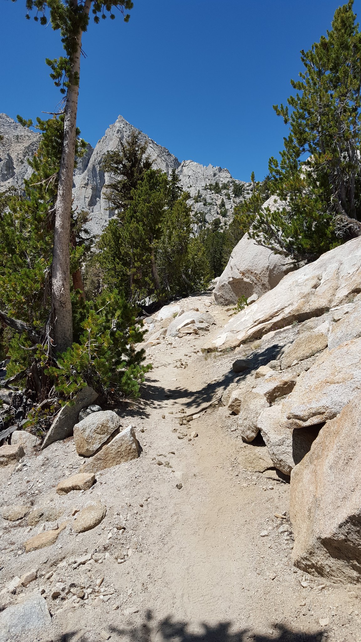
While it was exposed, the trail was about as easy as I could imagine to reach that elevation..which I guess explains the number of people that use it.
 20150810_124653 by bahuffma1, on Flickr
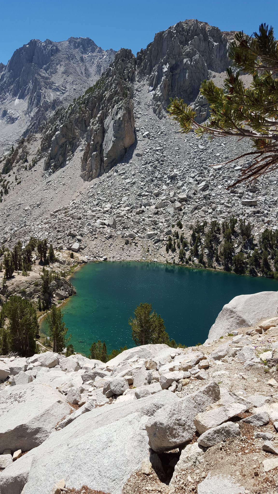
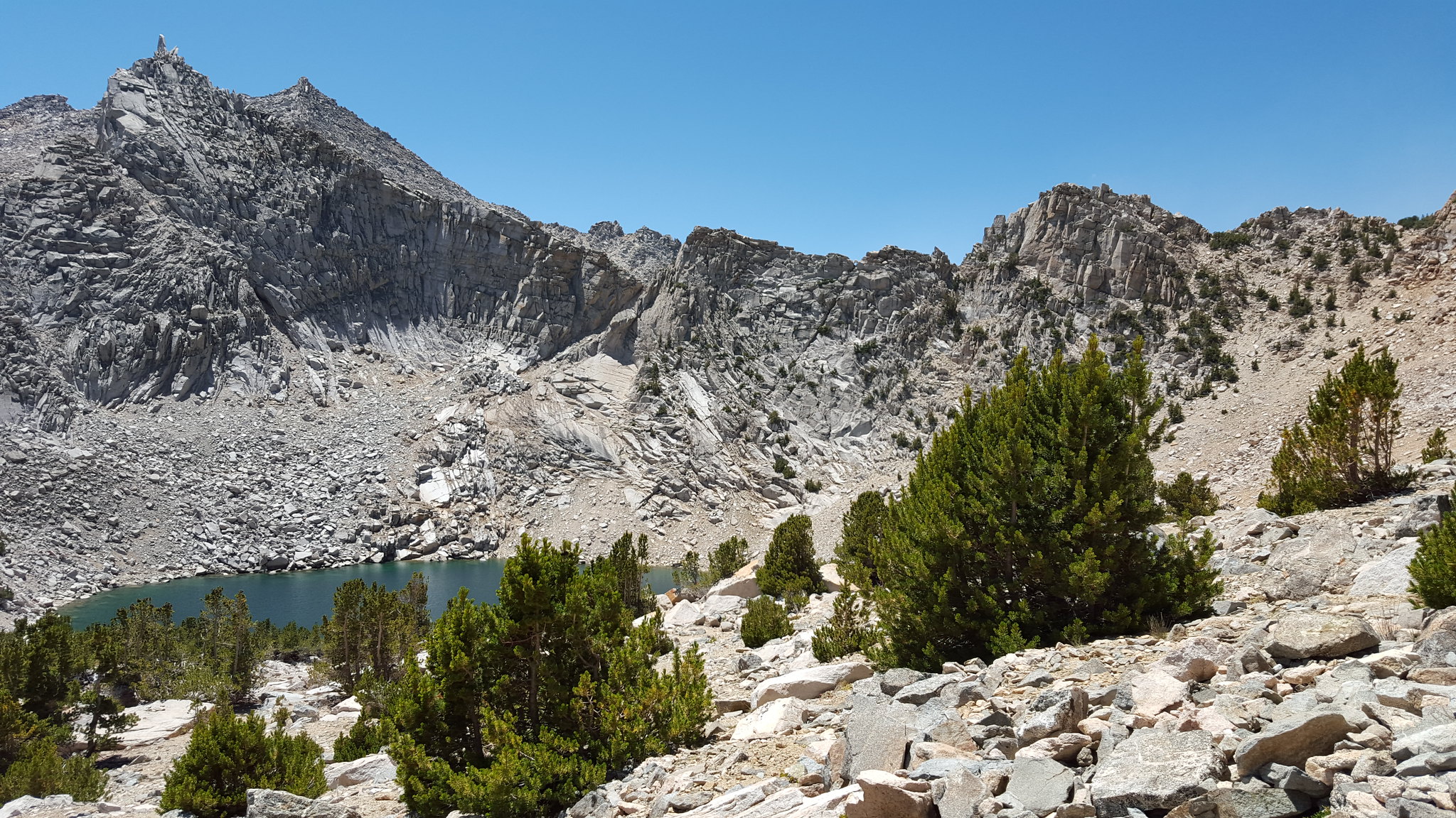 20150810_124819 by bahuffma1, on Flickr
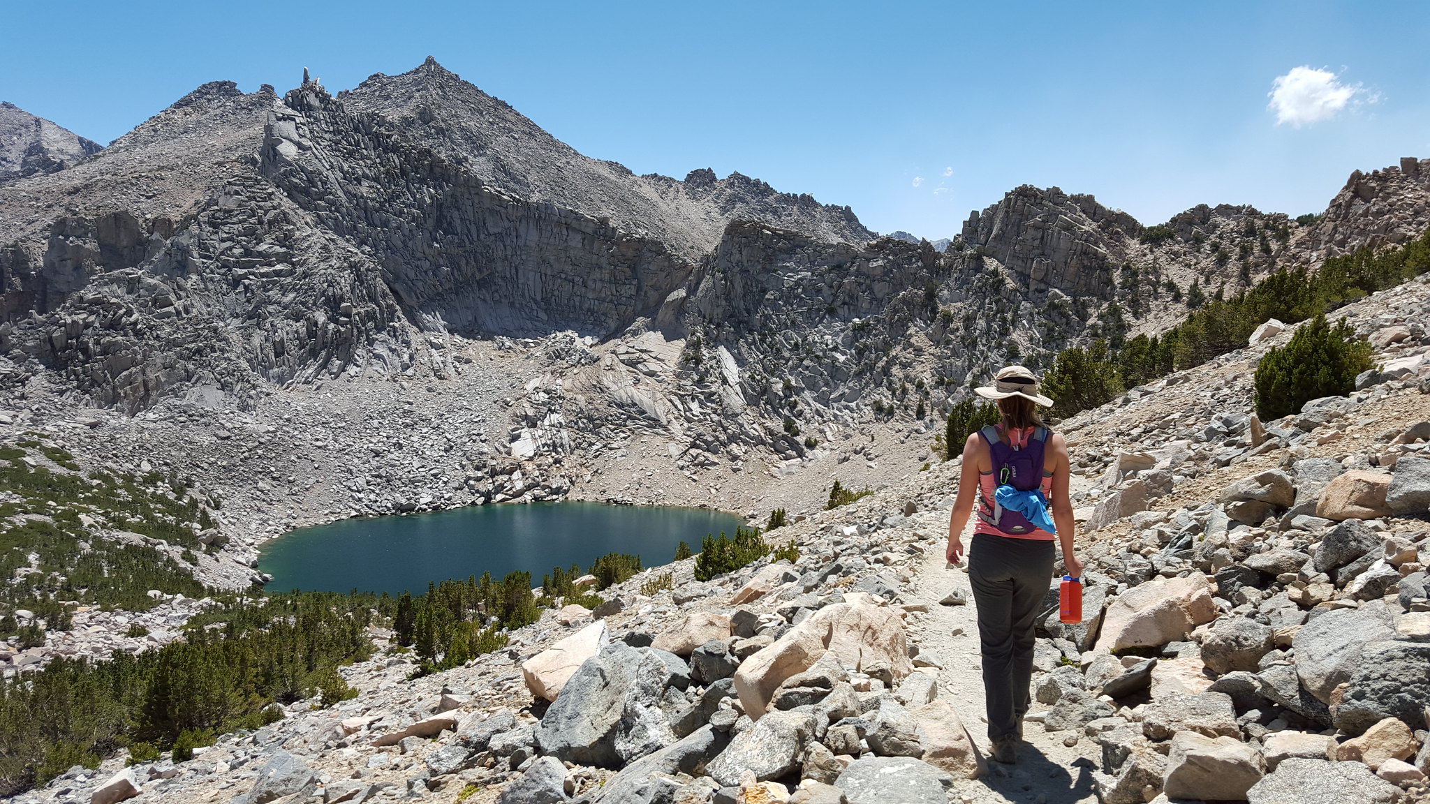
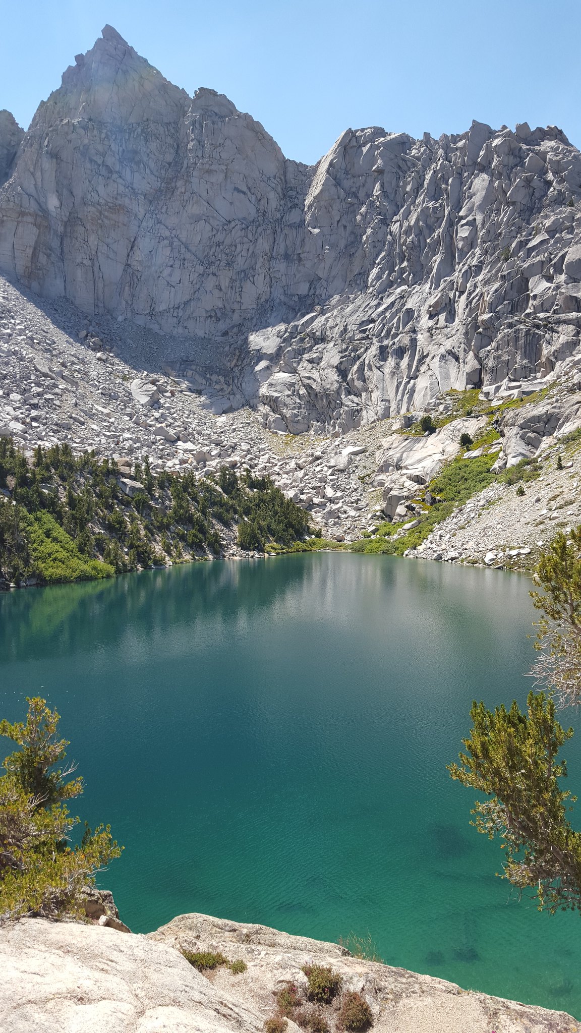
Both being geologists, we loved this view of Big Pothole Lake!
 20150810_130606 by bahuffma1, on Flickr
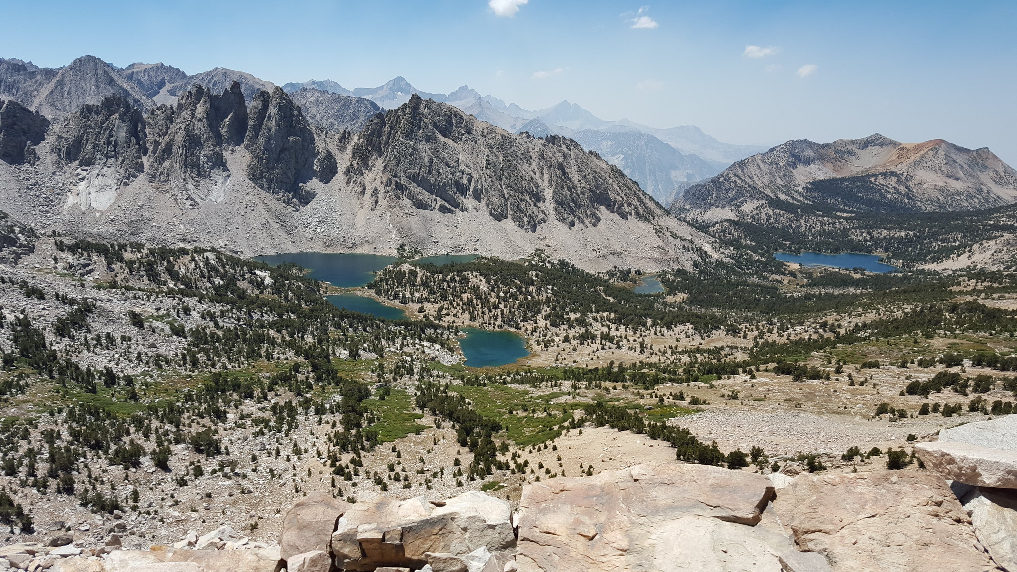 20150810_131031 by bahuffma1, on Flickr
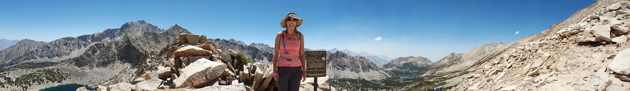 20150810_130709 by bahuffma1, on Flickr
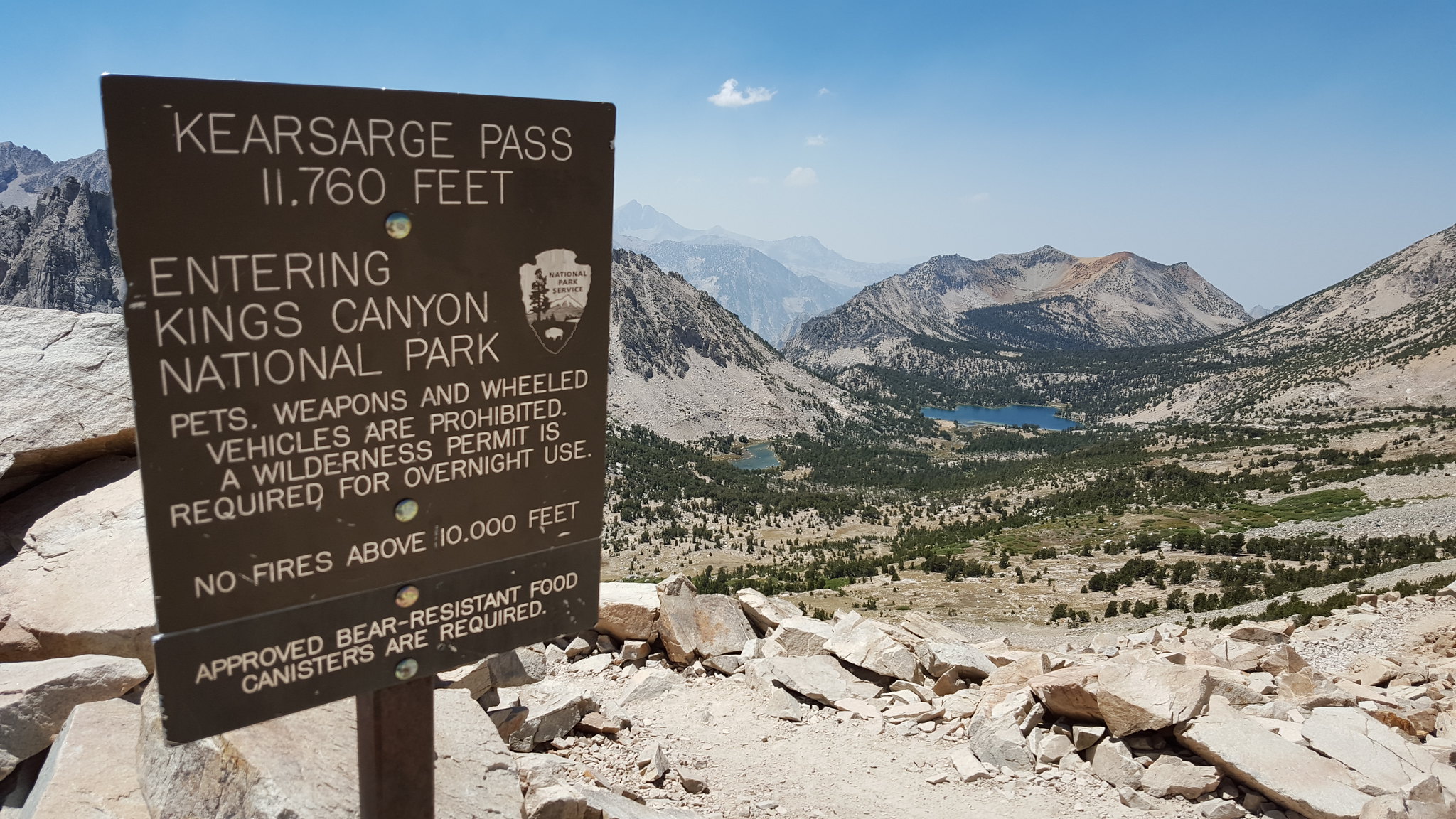
We made the pass and decided to have our lunch looking out into Kings Canyon Park!
While having lunch we met a really nice local guy who mentioned that he couldn't believe the number of people using the trail these days..indicating that the movie Wild may have had something to do with it..who knows.
The hike back down was equally beautiful...
 20150810_134358 by bahuffma1, on Flickr
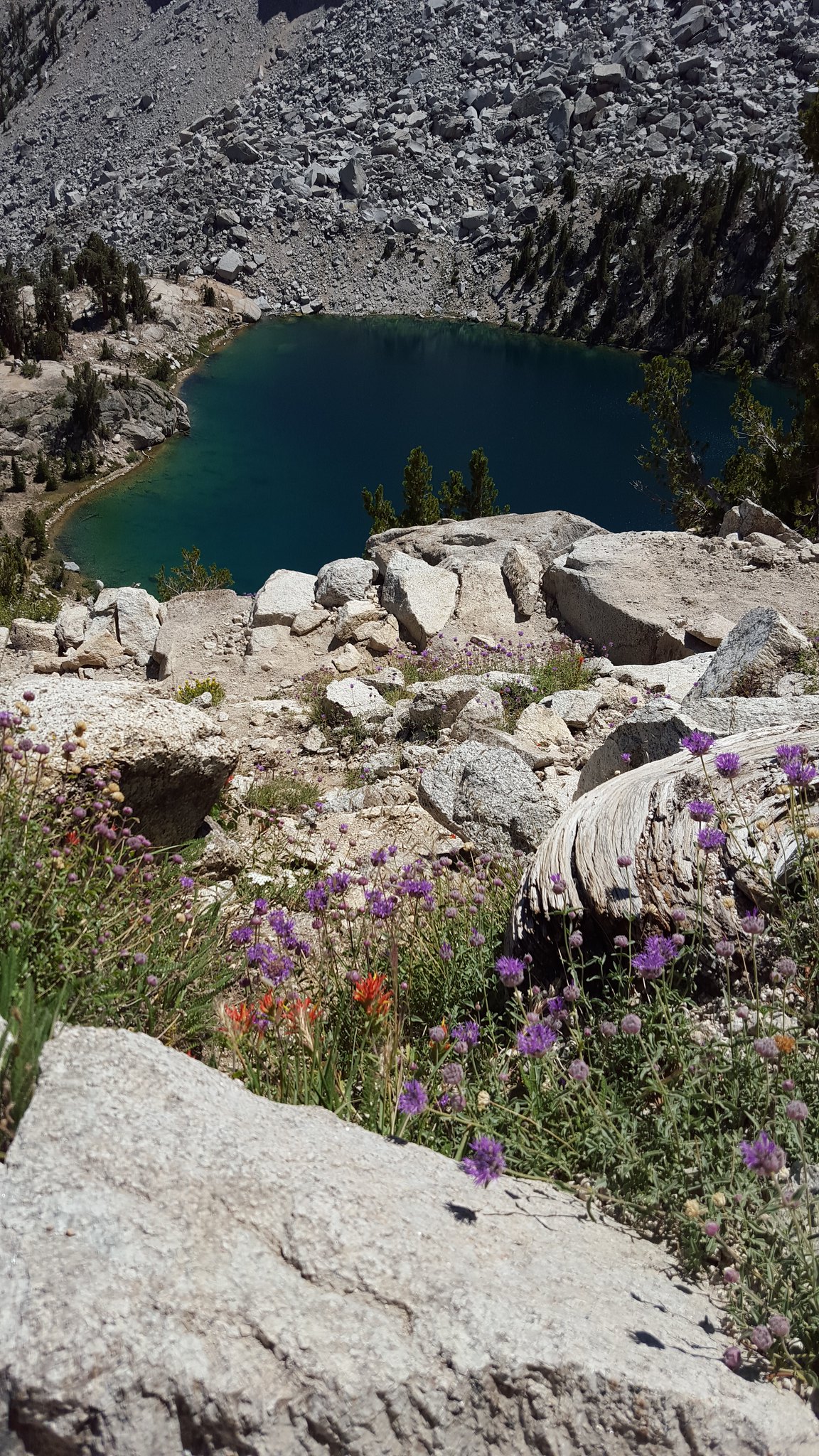 20150810_141724 by bahuffma1, on Flickr
Feeling good and seeing how inviting Heart Lake looked, we just had to scramble down to it!
 20150810_144607 by bahuffma1, on Flickr
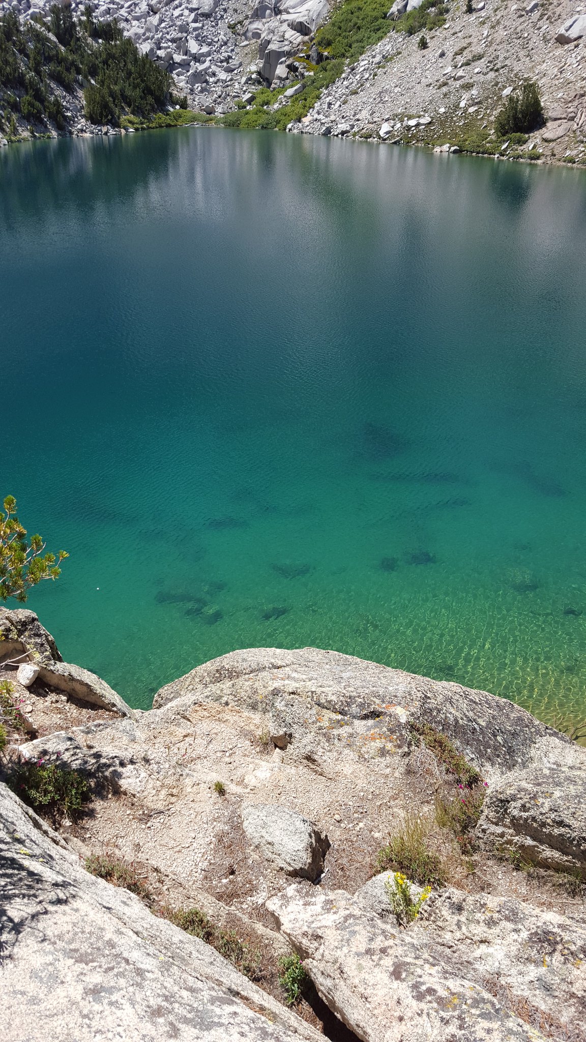 20150810_144628 by bahuffma1, on Flickr
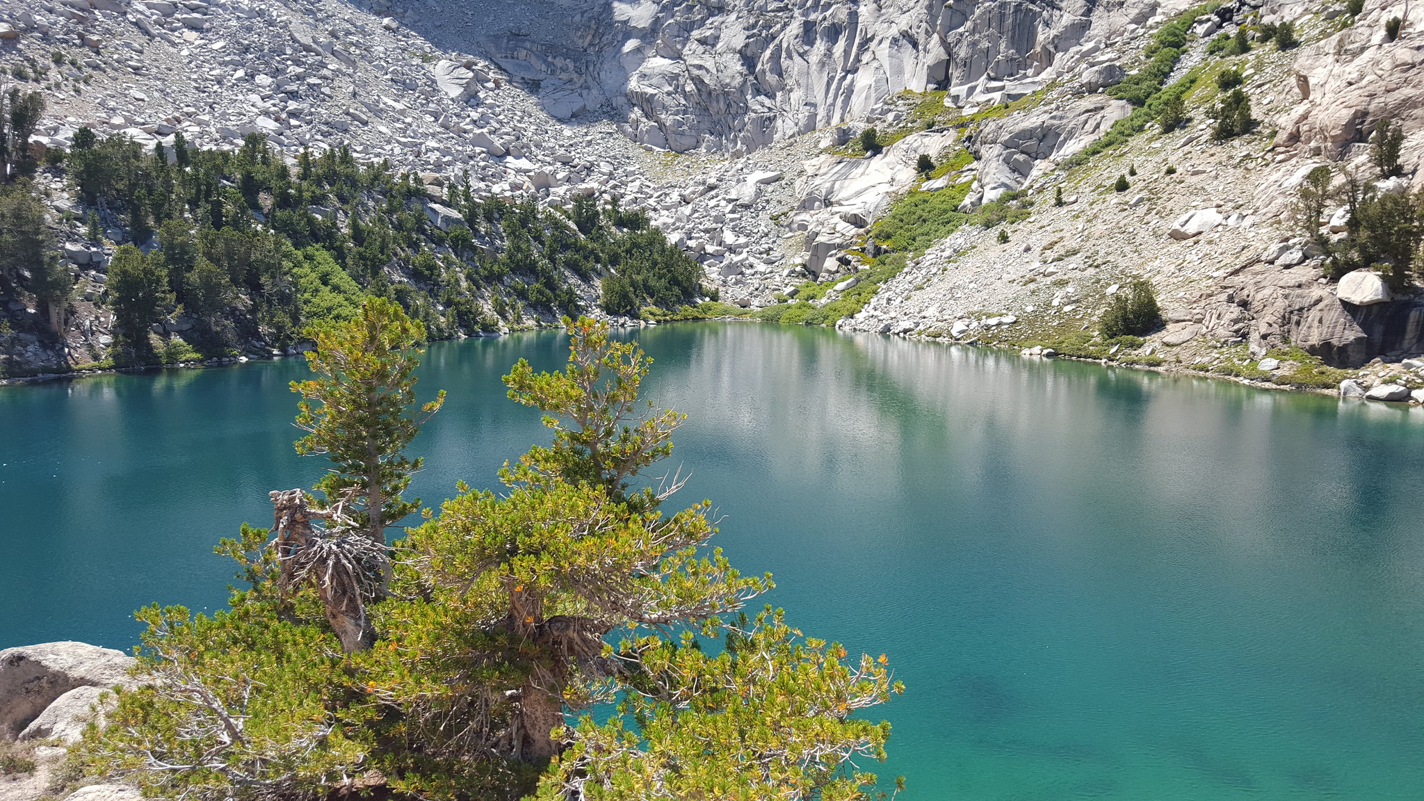 20150810_144903 by bahuffma1, on Flickr
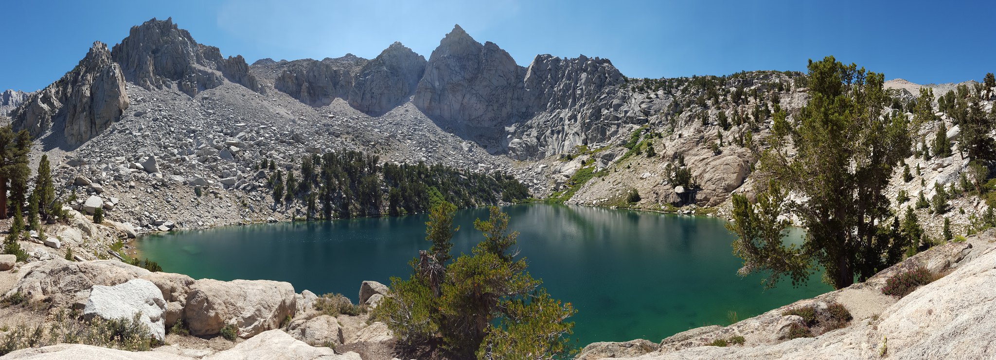 20150810_144934 by bahuffma1, on Flickr
From here we thought we'd just scramble over to Flower Lake, then over to Bench Lake and Matlock Lake. We were pleased that there was somewhat of a trail to follow to Flower Lake, and an incredible trail over to Matlock.
 20150810_155206 by bahuffma1, on Flickr
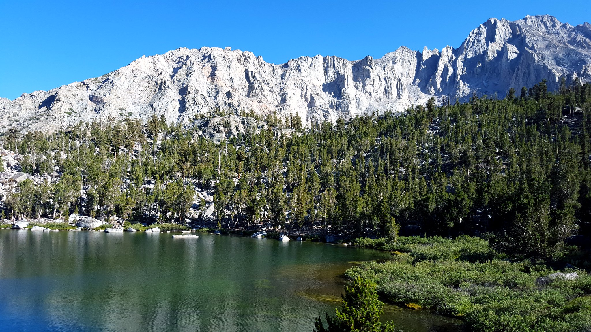 20150810_170259 by bahuffma1, on Flickr
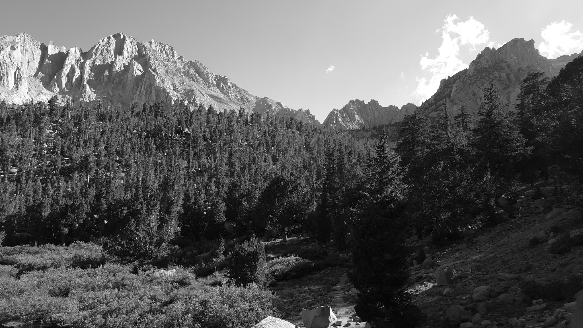 20150810_170416 by bahuffma1, on Flickr
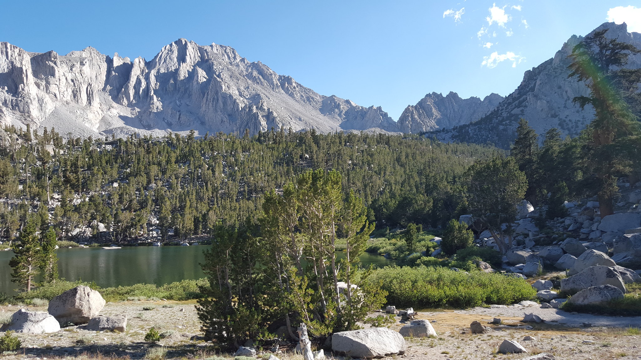 20150810_171327 by bahuffma1, on Flickr
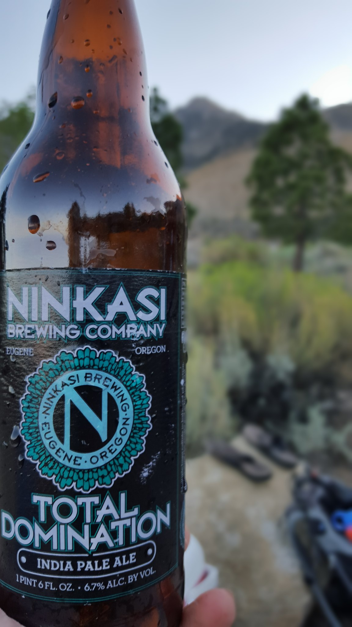
We did not see another person on this little side jaunt!! After a quick dip in Matlock lake, we decided it was time to head back to our the van. 13+ miles and some 2500 ft of gain we were ready to sit at camp and enjoy a nice west coast beer!
 20150810_185927 by bahuffma1, on Flickr
Another amazing day out of Onion Valley! We were already in love with the southern Sierra!