Its winter. We are cooped up. So we can either plan new stuff or relive old glory. Hope you enjoy this little excursion down memory lane:
Flashback Sept 2014: “What do you think about the White Clouds?” Susan asked, as we drove by a road sign for Fourth Of July Creek Road. We had just come off a wonderful cross country route thru the heart of the Sawtooth Wilderness.
“When I first scoped out the Sawtooths, the White Clouds were on my radar. They looked like an unheralded locals area, a great place to go. . .” I said. And so, a year later, 5AM we trundled gear, Figgy, our lawnchairs, and ourselves into the rig with the objective of reaching the 4th of July Creek trailhead with enough daylight to start circumnavigating Castle Peak, the White Clouds high point.
https://mappingsupport.com/p/gmap4.php? ... &z=13&t=t4
Ahh, plans. Just a mile from home, we came upon an accident. One car upside down at road’s edge, another, a van, had apparently rolled thru a ditch back onto its wheels, where it sat with all doors open, steam rising from the radiator. My wife, the surgical trauma ICU nurse, pulled over to assess the injured. With all injured stable and as good as we could make them, we left-- sirens now approaching.
Thankfully, the rest of the 12 hour trip was uneventful. The I-84 big horn sheep herd made themselves scarce and all we spotted were two deer. The High Oregon desert flats were desert like and flat. The only real non-excitement was smoke shrouding the freeway from La Grande to Baker City allowing us to smell Oregon’s big news story of the moment— the Canyon Creek Complex fire, which ultimately burned 36 homes and more than half of Oregon’s Strawberry Mountain Wilderness.
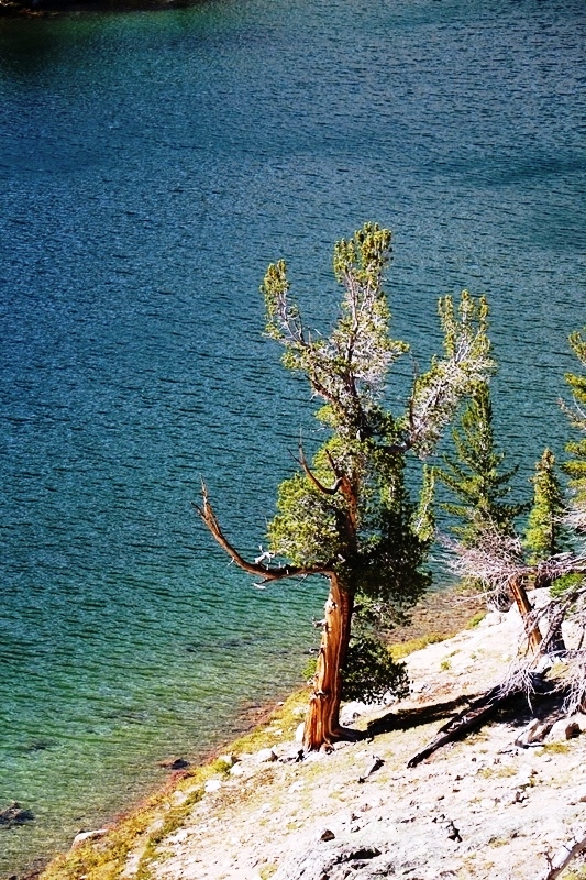
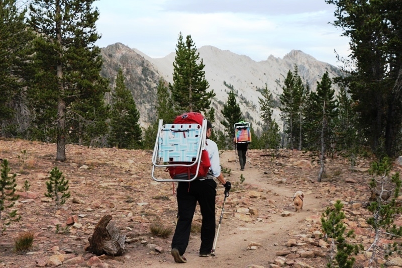
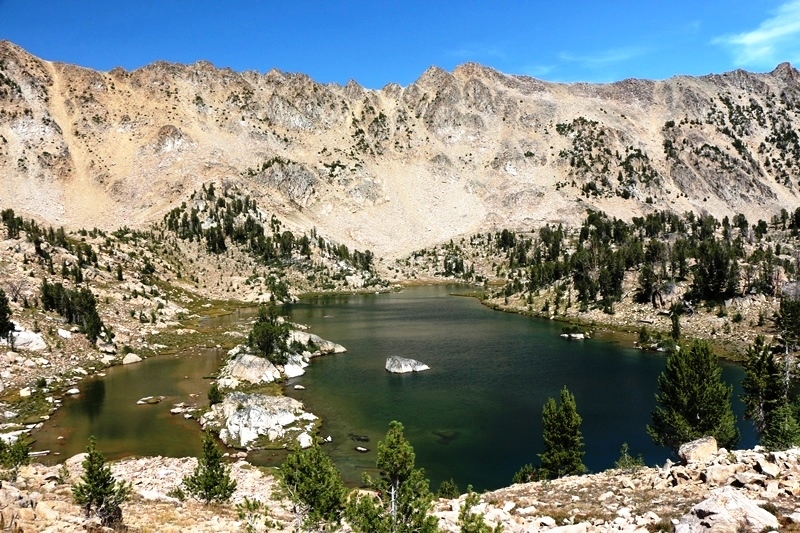
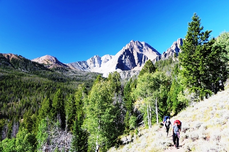
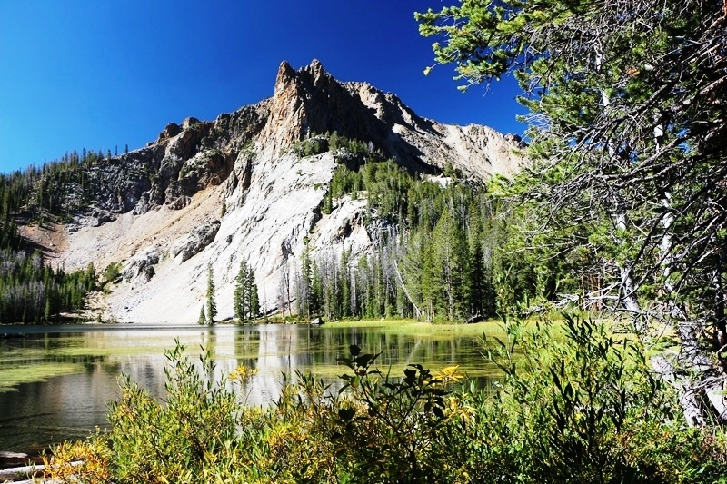
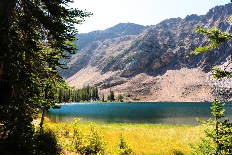
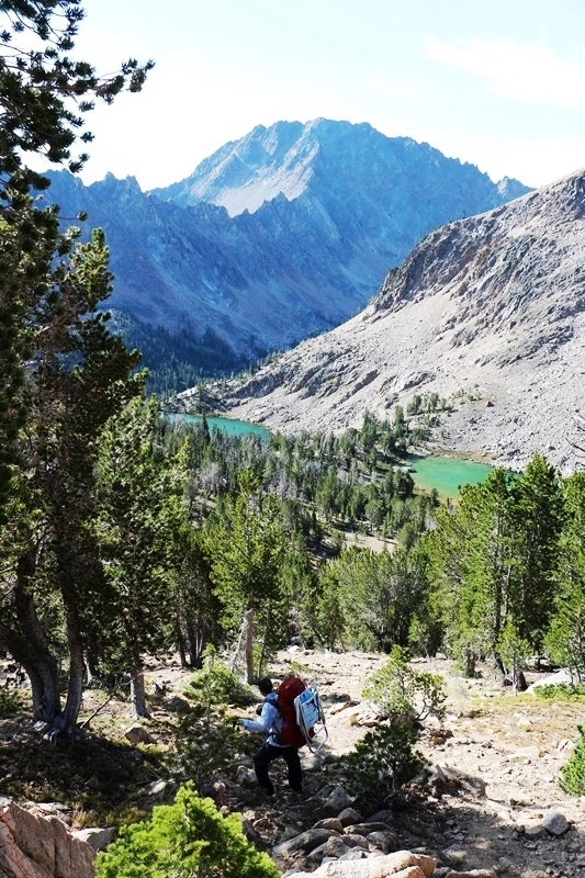
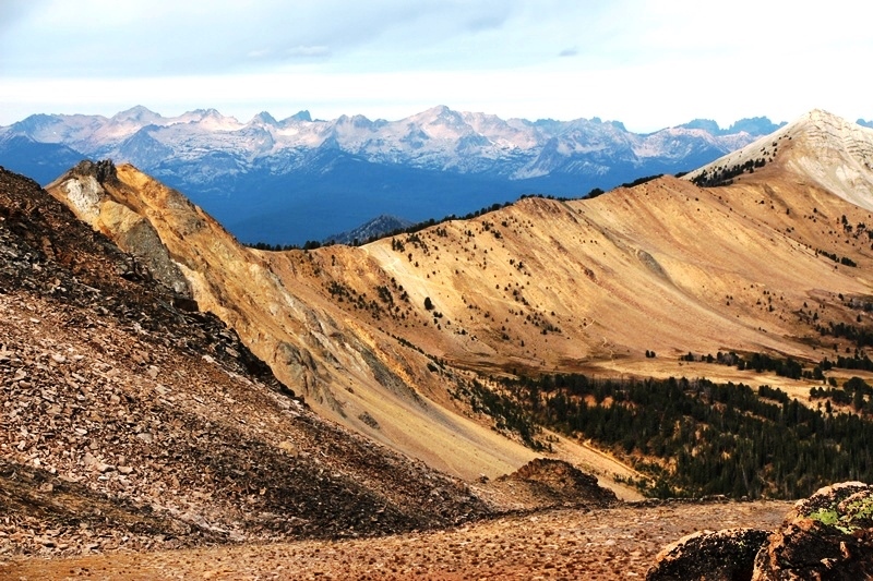
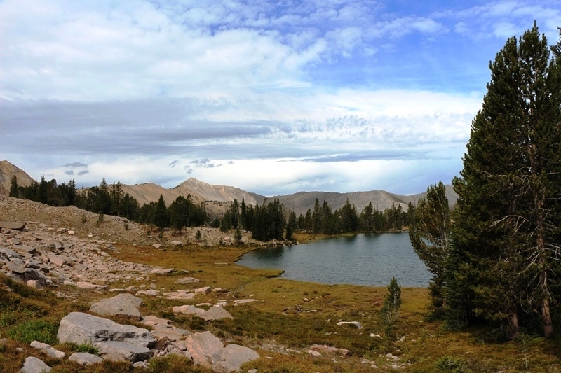
And finally we were on trail!! Fourth of July lake was disappointing so we continued over 4th of July Pass to Washington Lake
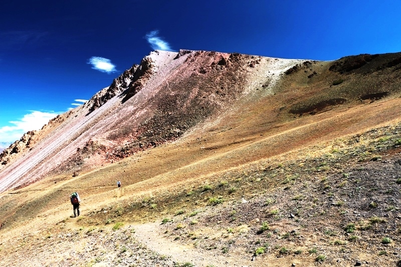
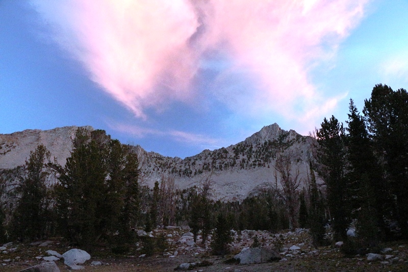
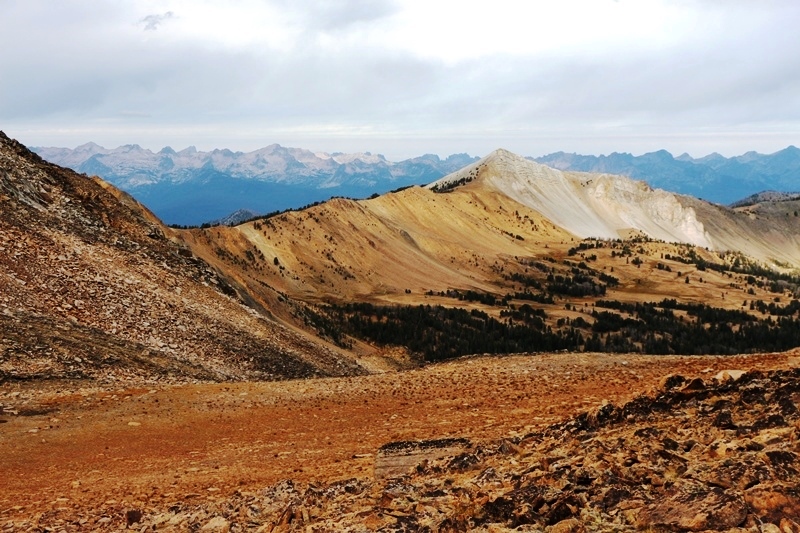
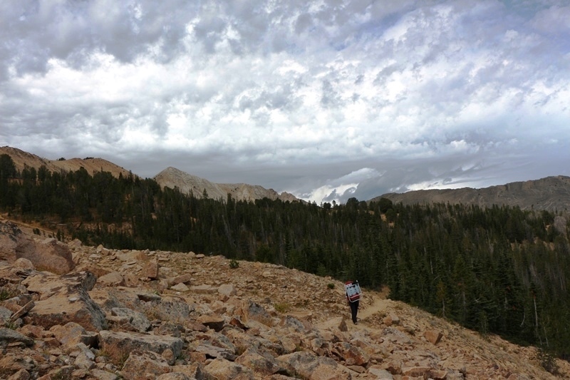
Cresting 4th of July Pass
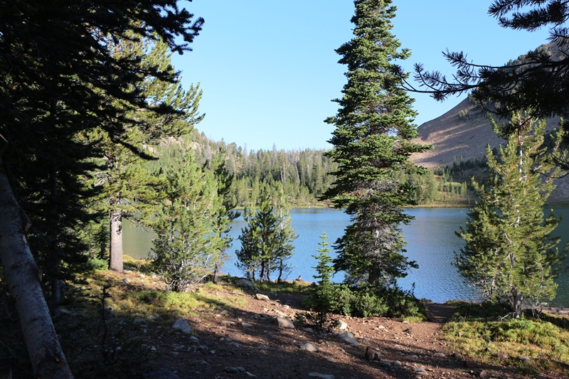
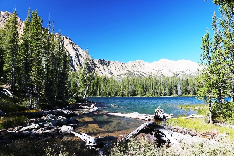
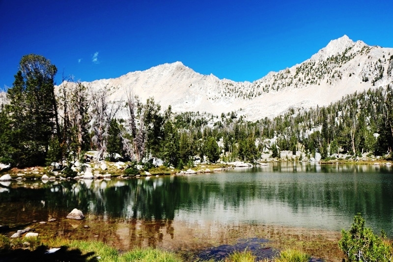
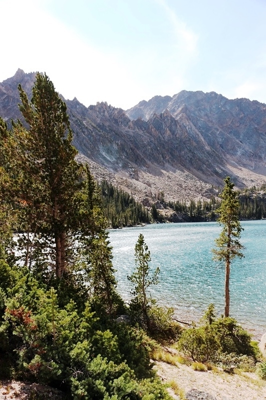
Weather deteriorated, with wind and showers, but dawn broke clear and cool at Washington Lake.
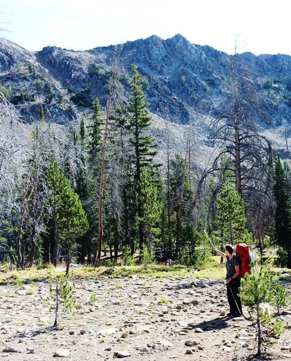
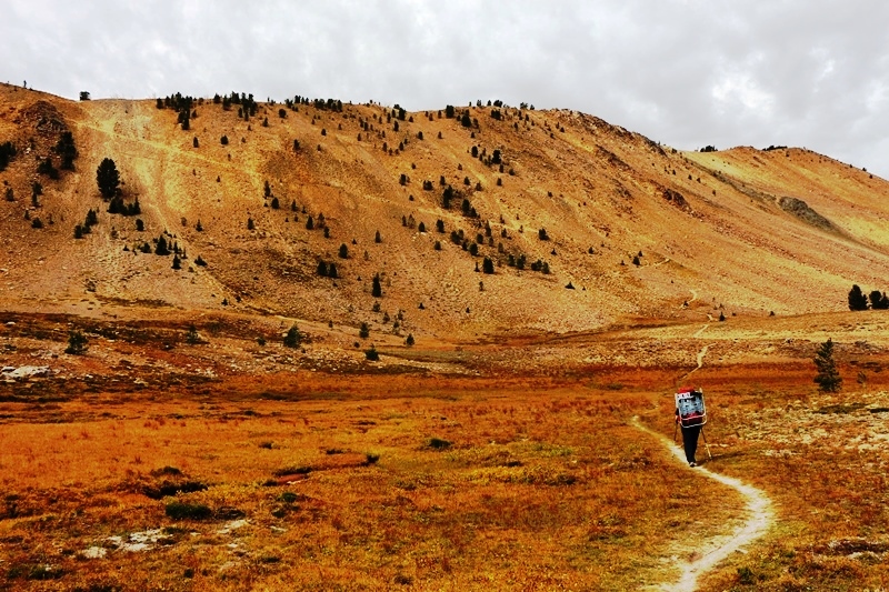
We go thataway!
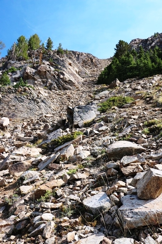
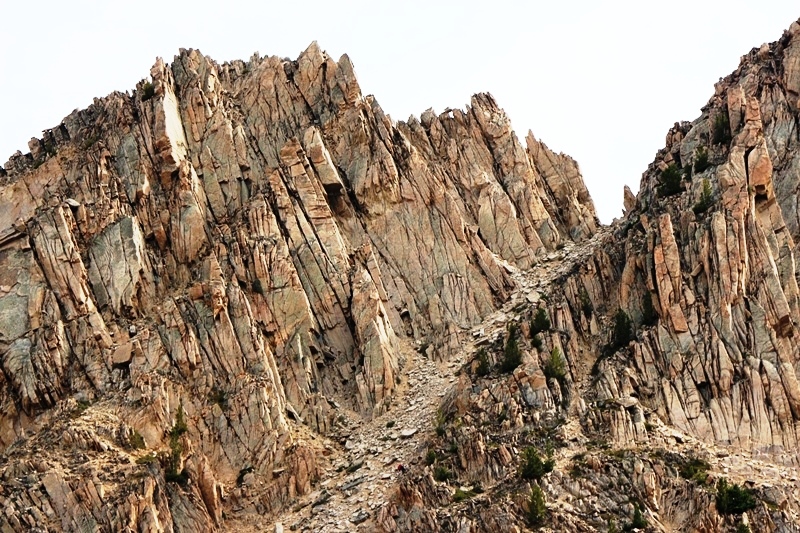
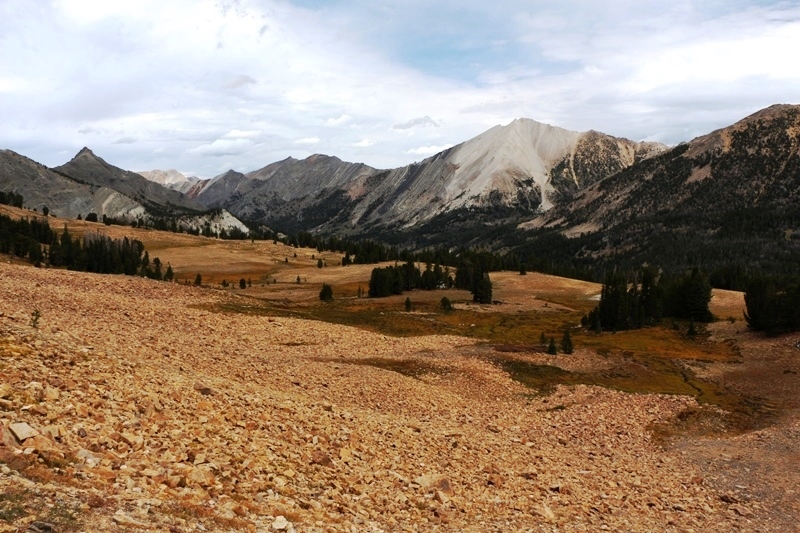
Chute View.
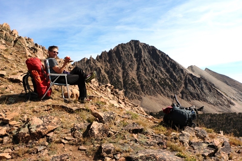
On top with an apple, a chair, and a view.
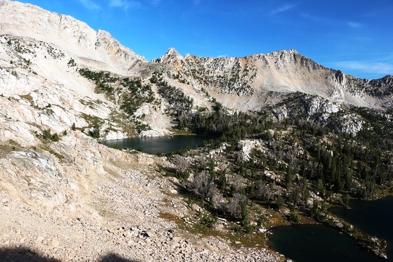
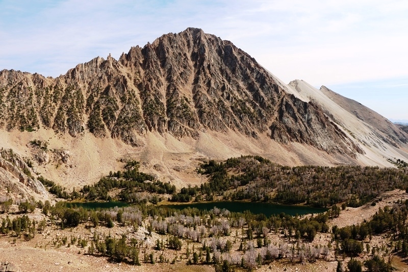
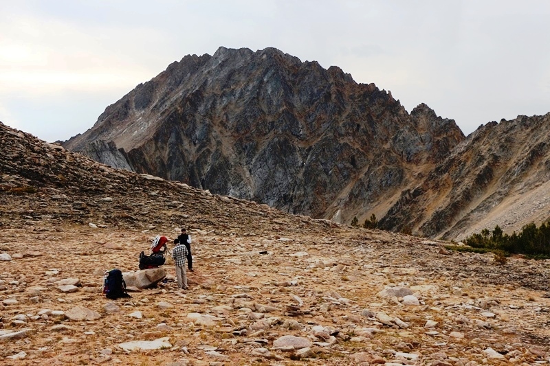
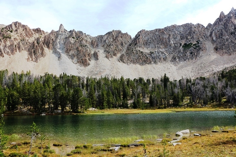
Castle Peak with Upper Chamberlain Lakes below.
Someone was grumpy.
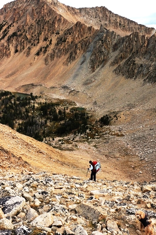
How do we get down?
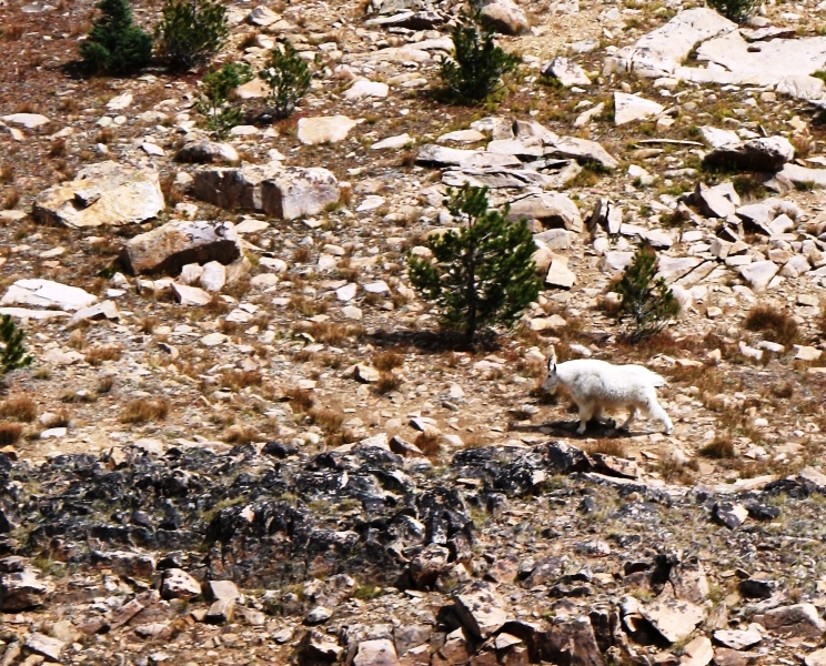
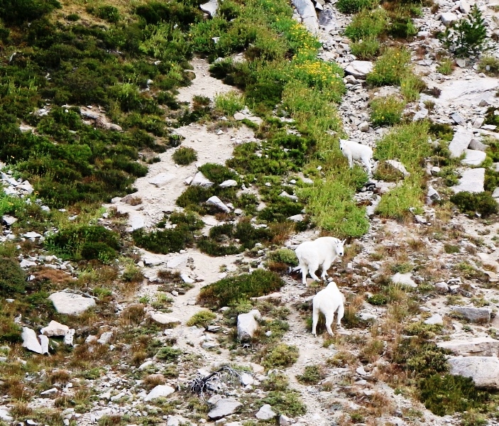
We followed the billy to Lake 9849.
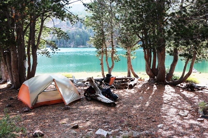
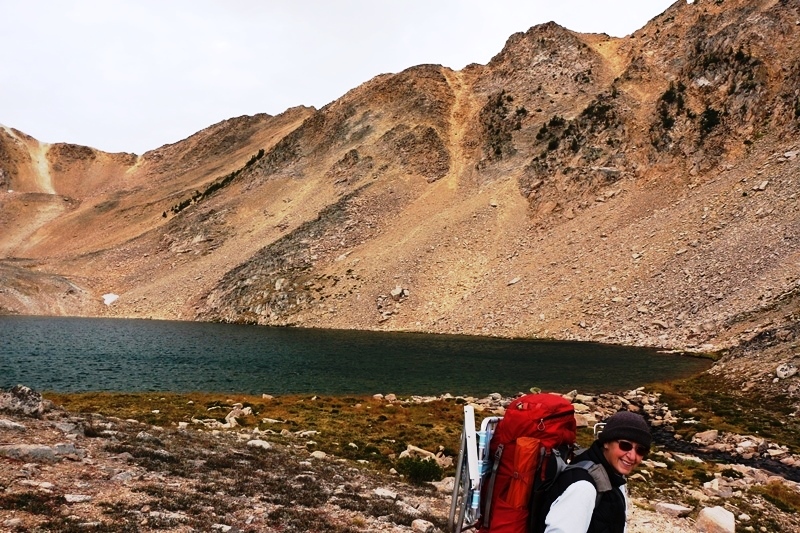
Which we decided wasn’t good for camping. But the horse camp was.
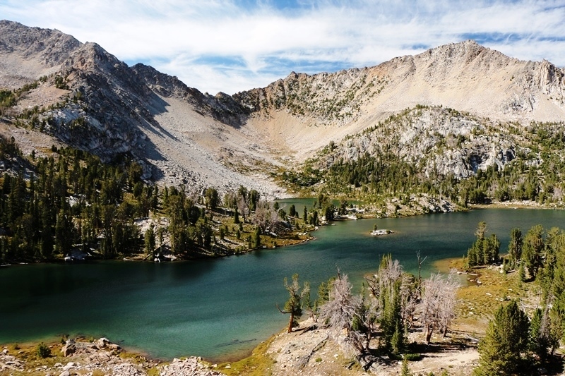
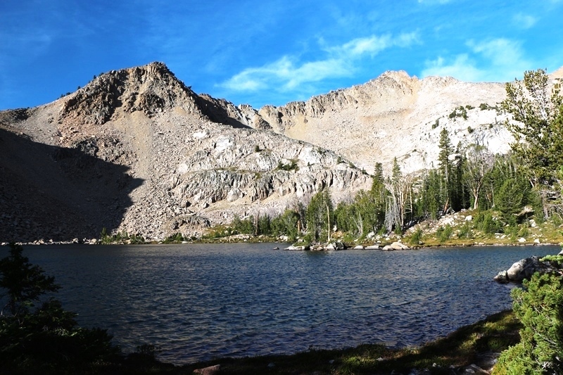
The next day, Castle Peak from Lower Chamberlain Lakes.
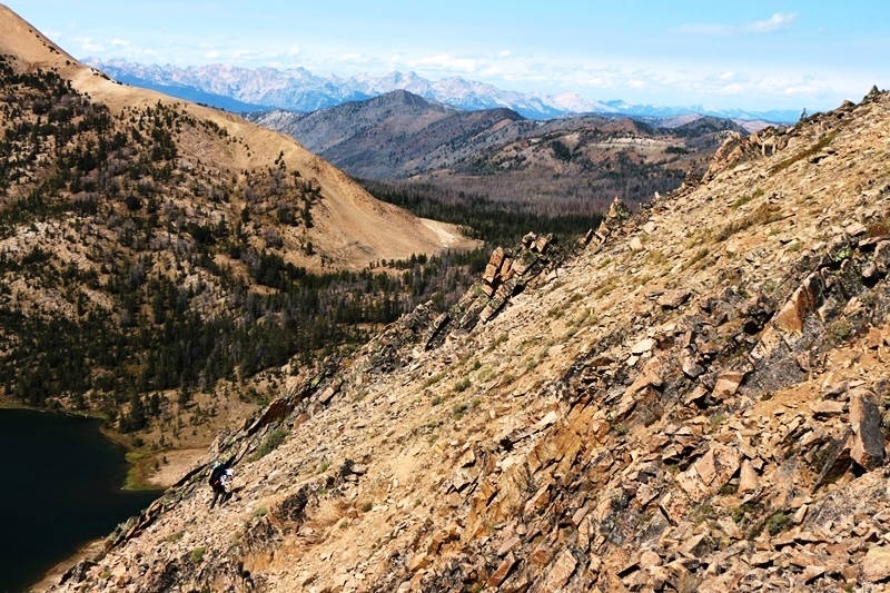
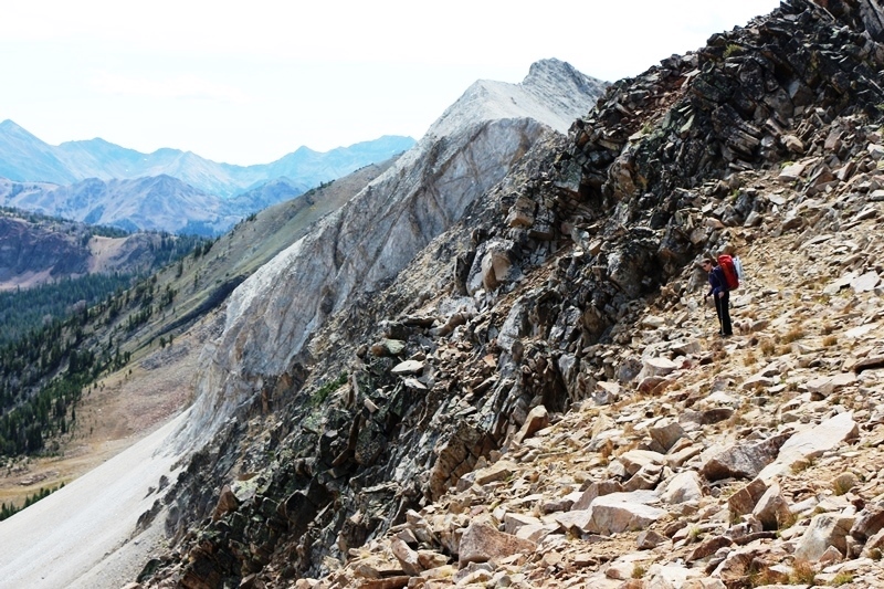
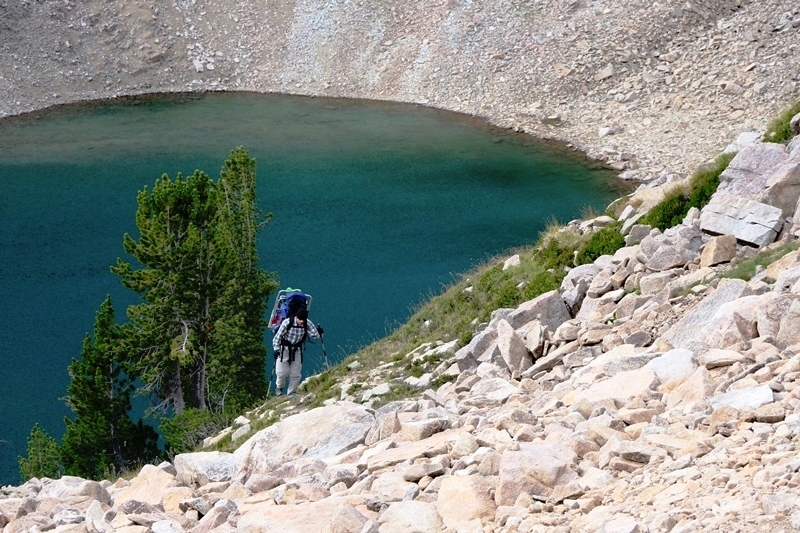
Passing the south side of Castle Peak.
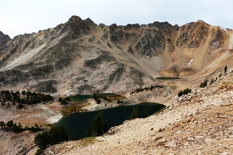
Parting shot of the lowest Chamberlain Lake.
North side of pass into Little Boulder Creek drainage. Goat trails on peak 10,248.
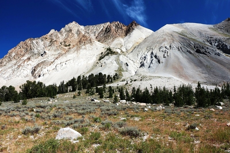
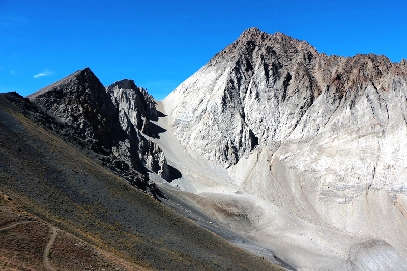
East flank of Castle Peak.
Camp on Little Boulder Creek. This camp was memorable for the cacophony of bull elk trumpeting and snorting. Even the little guys were in on the party. They quieted down at dusk but then the nearly full moon rose, and the ensuing encore lasted for hours.
Short on sleep, we made our way up Boulder Chain Lakes Creek.
Hatchet Lake.
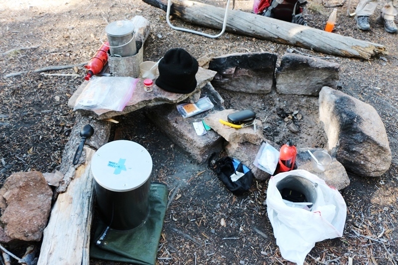
Hatchet Lake Campsite. We be talkin big at all the ‘improved’ sites.
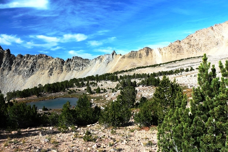
Shelf Lake.
Sliderock Lake.
Lodgepole Lake.
Hourglass Lake.
Hummock and Hidden Lakes.
Rock Garden at Hummock Lake.
Sunrise from my sleeping bag.
Scoop Lake. Windy!
Hummock and Hidden Lakes from Windy Devil Pass.
Windy Devil Basin. Informal trail “Devil’s Staircase” crosses ridge to right of horn.
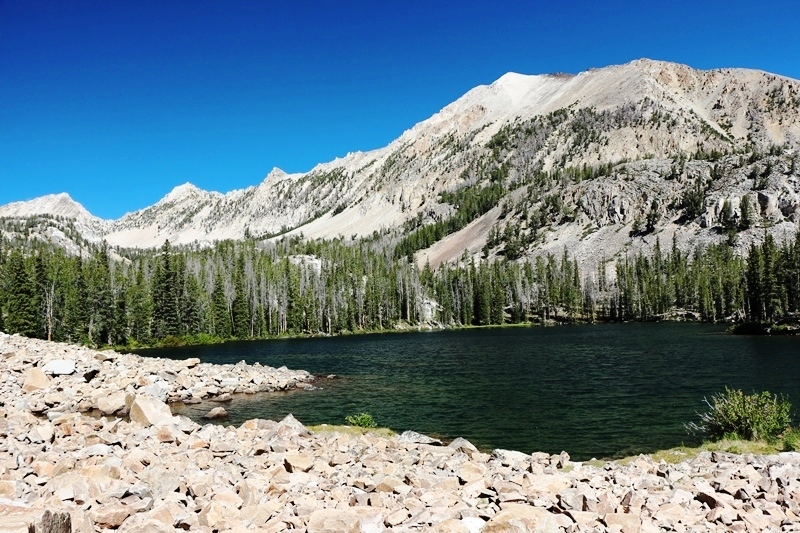
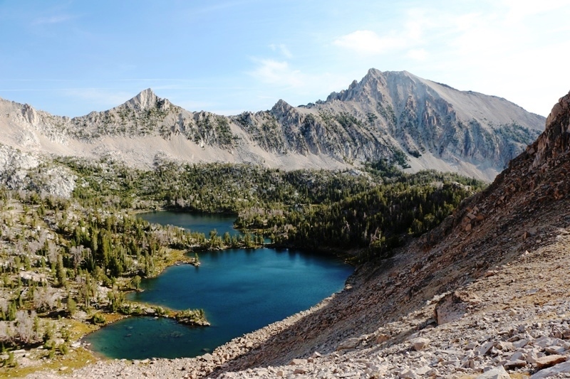
Scoop and Shallow Lakes below, North side of Castle Peak background.
Quiet Lake.
Quiet Lake Camp.
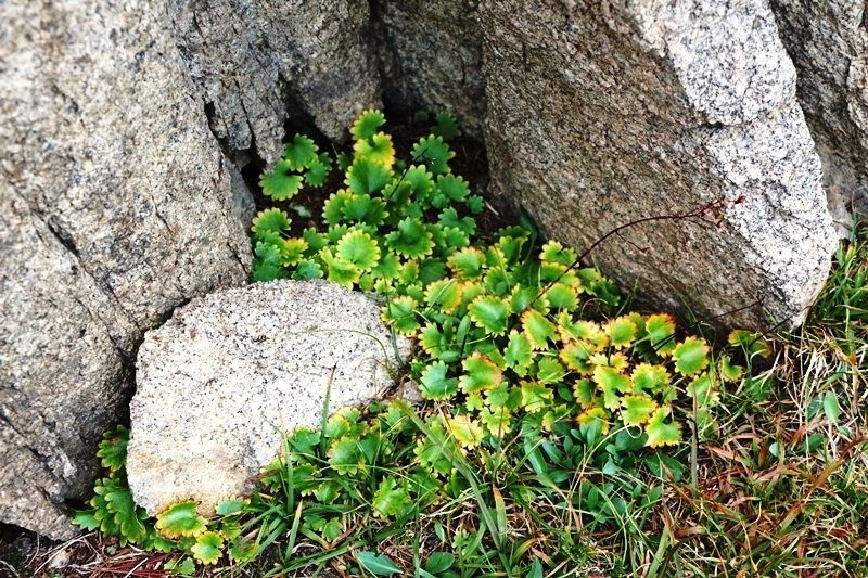
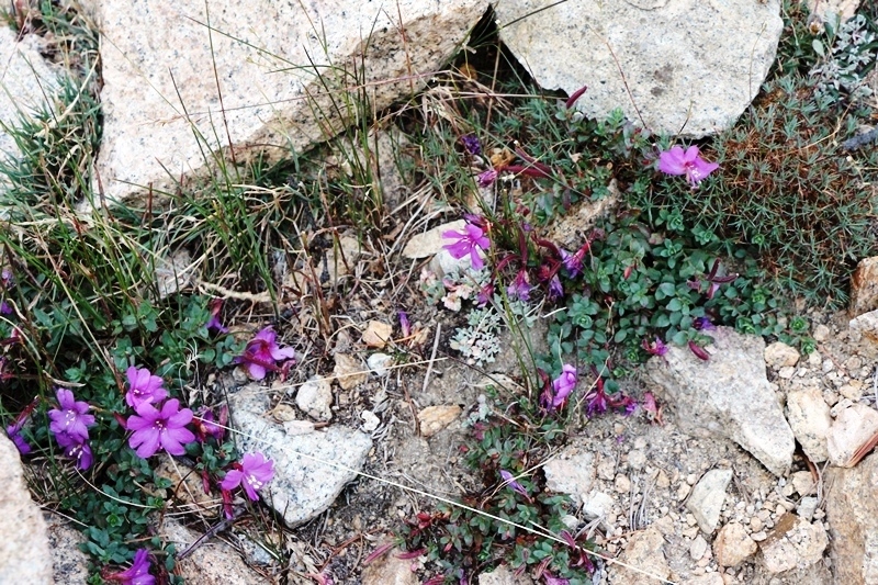
Epilobium.
Goat Family in Four Lakes Basin. Snow showers.
Four Lakes Basin.
Crux Scramble above Cornice Lake.

Three of the Four Lakes.
Emerald Lake.
Pass between Four Lakes Basin and Born Lakes. Sawtooths in distance.
West side Castle Peak.
Down, down, down!
Highest Born Lake.
West side of the Devils Staircase. Look close, there’s a guy with a red pack in there.
Second Highest of the Born Lakes. Devil’s Staircase center of background ridge.
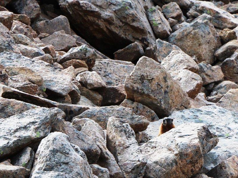
There’s one in every rockpile.
Crazy Clouds as we approach Ants Basin.
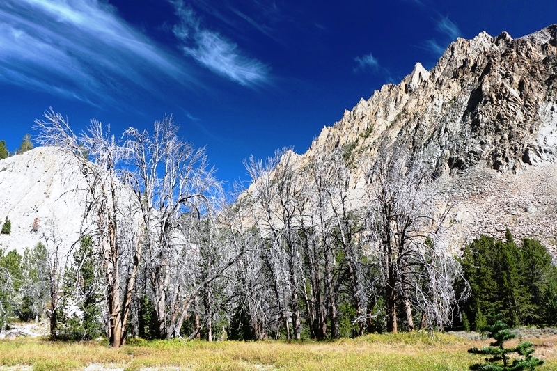
All the leaves are brown. Ants Basin.
Peak 11314 from Ants Basin
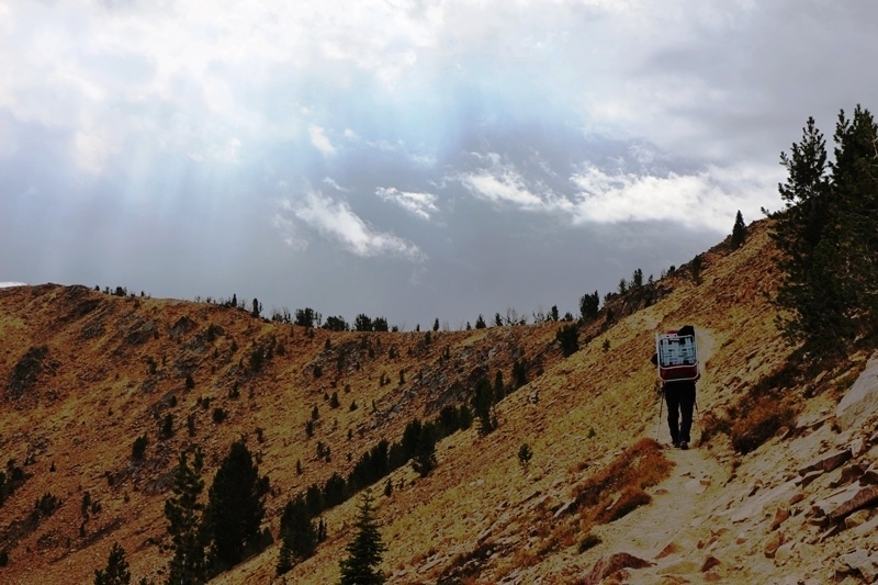
Climbing into the light.
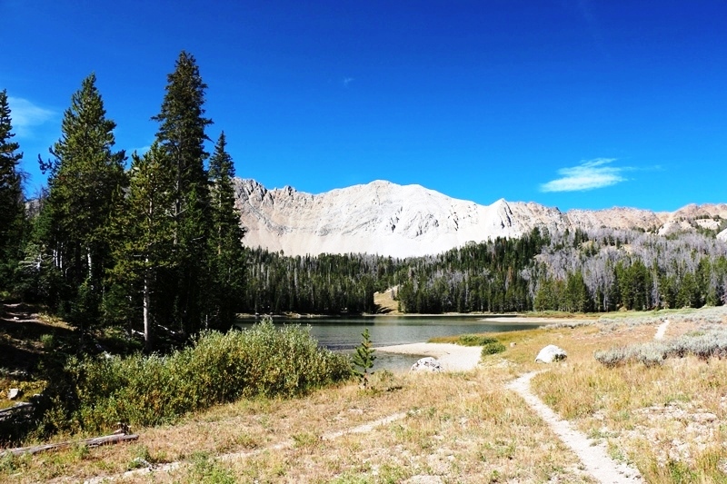
From here it was over the ridge and down to Fourth of July Lake and the trailhead.
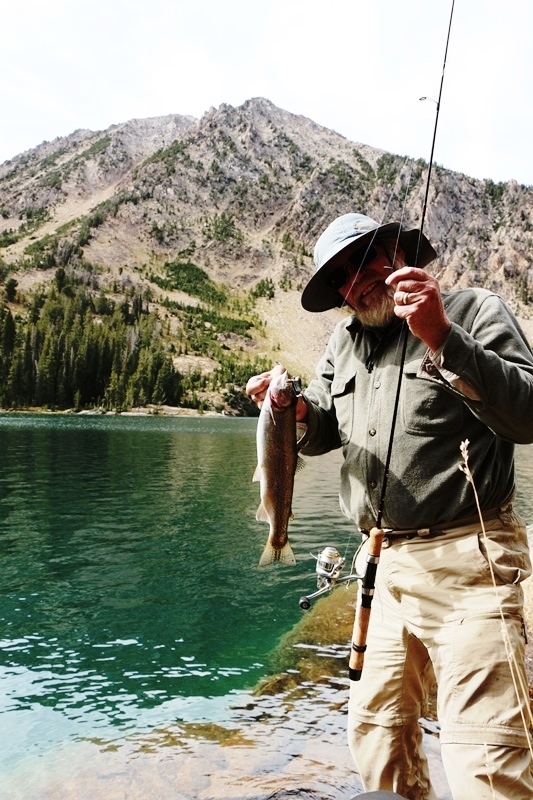
Now Mark, Old Ranger, I put this guy back, so he’s waiting for you. I’m not telling which lake, tho.
Crowded—NOT, except Ants Basin/Born Lakes. Not counting the final Ants Basin day, over 5 days we saw 3 back packers, 3 XC bicyclists, and 4 trail bikers (legal on some trails in area).
Fantastic scenery. And the fishing isn’t bad either.