From the TH, we quickly climbed up over Billy Goat Pass and came down the valley. The previous week had been very rainy, and the front had finally passed through the night before. We had a clear week in front of us.
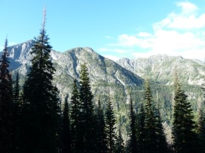
A view from the north side of the Billy Goat Pass.
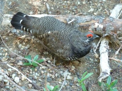
Game birds seemed to be unusually unafraid of hikers.
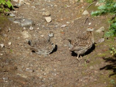
These two just hung out in the trail and we were able to get close enough to grab them, if we cared to. This turned out to be a theme with the gamebirds here; unafraid of humans.
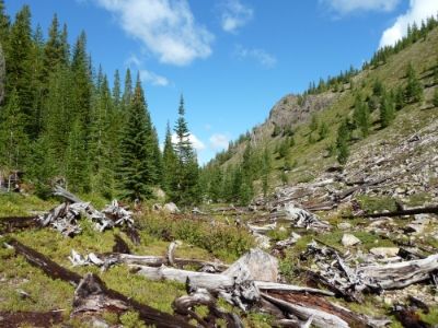
This is Three Fools Pass
After about 15 long miles and three passes (Billy Goat, Three Fools, and Larch) we came to the main attraction of the area, the large open meadows.
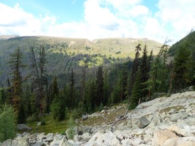
This is Ashnola Mountain. Whistler Pass is the notch in it. The grassy area around it is known as McCall Gulch.
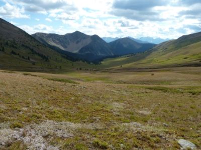
Looking down McCall Gulch
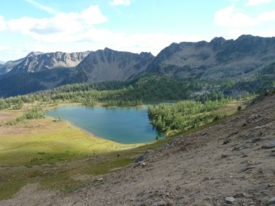
Corral Lake, our destination for the evening.
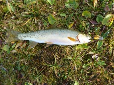
Caught several of these and had a couple for dinner.
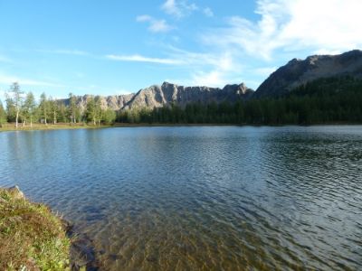
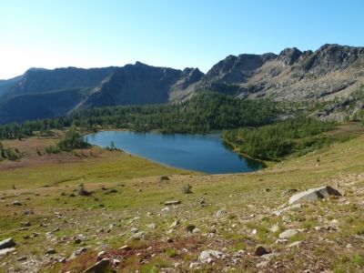
Next morning, we hiked back out of the lake and further into these immense meadows
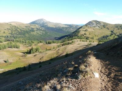
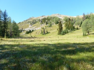
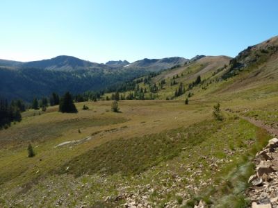
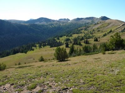
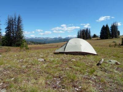
Camp
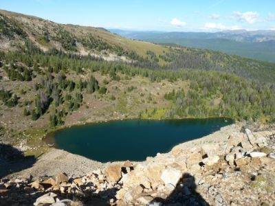
That evening, I hiked up to an overlook of Sheep Lake.
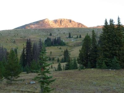
Which was just below Sheep Mountain
The next day we hiked up toward the Canadian Border and around Sheep Mountain.
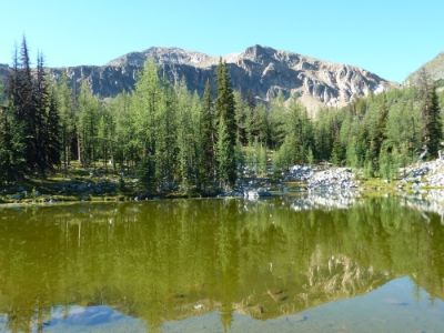
Ramon Lake, shown here, is about ½ mile from the border.
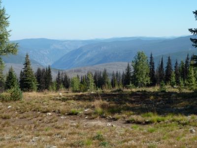
Here is a look into Canada. You could see a number of clear-cuts as their side is not protected.
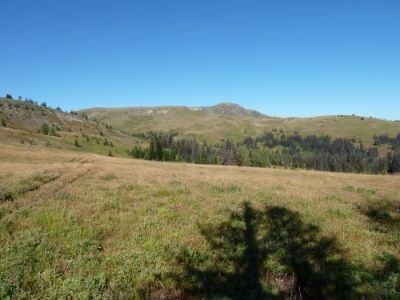
Park Peak, shown here, is right on the border. Park Pass, is to the left.
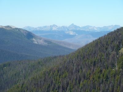
Once on the west side of Sheep Mountain, we could see the peaks of the North Cascades.
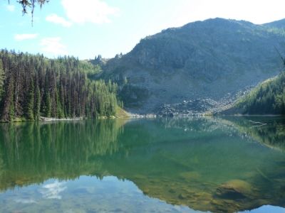
After finishing our day hike around Sheep Mountain, we moved camp to Quartz Lake. Which held a surprise. Here, in this rather small and inaccessible lake, at least 20 miles from the nearest road, I caught this:
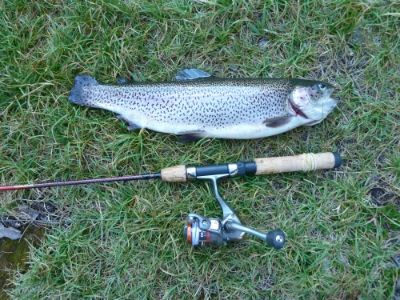
As you can tell by the cut up tail, this 15” Rainbow is a recent stocker. Either he was dropped by an airplane (unlikely for such a big fish) or a packer brought him in for guests. With some judicious cutting, I was able to get him in my frying pan for dinner.
The next day, the trail took us nearly to the top of Bunker Hill.
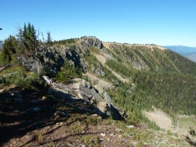
At first we moved through meadows, but as we dived into the canyon, the trail took us into this burned forest. We did several miles of stumbling through the deadfalls before getting to Big Hidden Lake.
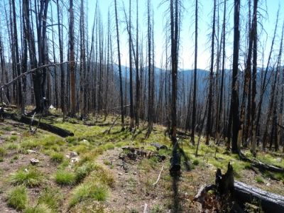
This burned area requires excellent wayfinding skills, so don’t consider it unless you are mentally and physically prepared.
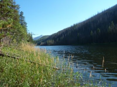
Next day, we headed south along the Hidden Lakes:
At Middle Hidden Lake, we passed this FS cabin:
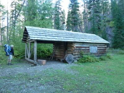
We passed First Hidden Lake….
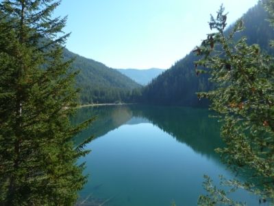
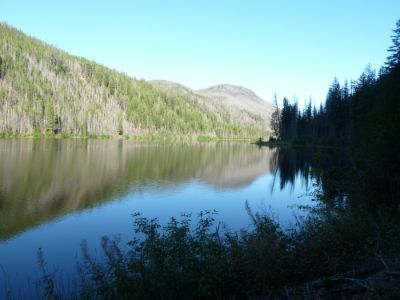
….and had lunch at Cougar Lake, shown here.
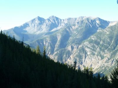
Next day we hiked up out of the Lost River Canyon, over Lucky and Eighmile Passes, and back to the TH. Total trip = 69 miles. An awesome and unique wilderness with fearless birds.
