I think a good possible starting indicator would be when the road was cleared to N Lake. That would eliminate the long road walk from the closure, and also signal that major snow fields were melting and the remaining pack was consolidated ice/snow.alpinemike wrote:Getting up Lamarck will be interesting again.. as that was one hell of a long slog with a lot of gain. The necessity for crampons given that you have snowshoes is definitely going to be hard to judge. I would definitely plan on some slow days if there is still a good deal of snow. It may take close to a week .. to do that trip.
I'm shooting more for an early season "hike" (no snowshoes), with crampons/ice axe for the 3-4+- miles of snow fields over each pass, but otherwise clear (albeit wet/muddy) trail. Even so, I figure 1mph over the passes is a good estimate - right now, I've got 4-5 days penciled in.
Here's a photo of Dana meadows (Yosemite) from 6/5/2010, the year Mammoth got 650"+ inches of snow (http://www.mammothmountain.com/winter/m ... nd-weather):
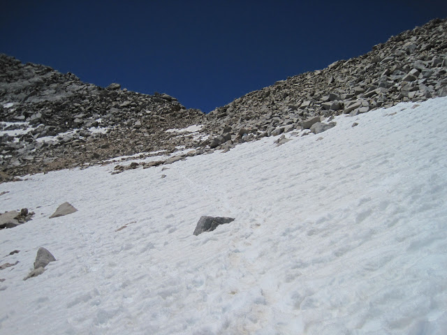
The park's east entrance had just opened that morning - we were staying in June lake and were one of the first cars allowed in. I distinctly remember the parking lot right @ the Tioga entrance (bathrooms & Gaylor lakes TH) had a solid wall of snow about 3-4' high. These types of conditions obviously warrant snow shoes or xc skis at 9.5-10k.
My guess is that Mammoth could get over 400" inches this year, so all things being equal (which of course they're not), the trail through Dana/Lyell could be clear by mid-June. That could be a fairly good correlation for the PCT section between Evo & Kearsarge, which would suggest more of a mid-June date if one were interested in primarily hiking, and the expectation of 3-4-5 miles of consolidated snow over each of the big passes.