Finger Col
Posted: Sun Mar 10, 2013 6:32 pm
Finger Col
GENERAL OVERVIEW: Crosses White Divide. Connects Blackcap Basin at Cathedral Lake with a basin of unnamed lakes above and west from Goddard Creek.
CLASS/DIFFICULTY: Class 2.
LOCATION: Border of John Muir Wilderness in Sierra National Forest and Kings Canyon National Park. HST Map.
ELEVATION: 11,560+ ft.
USGS TOPO MAP (7.5'): Mt Goddard.
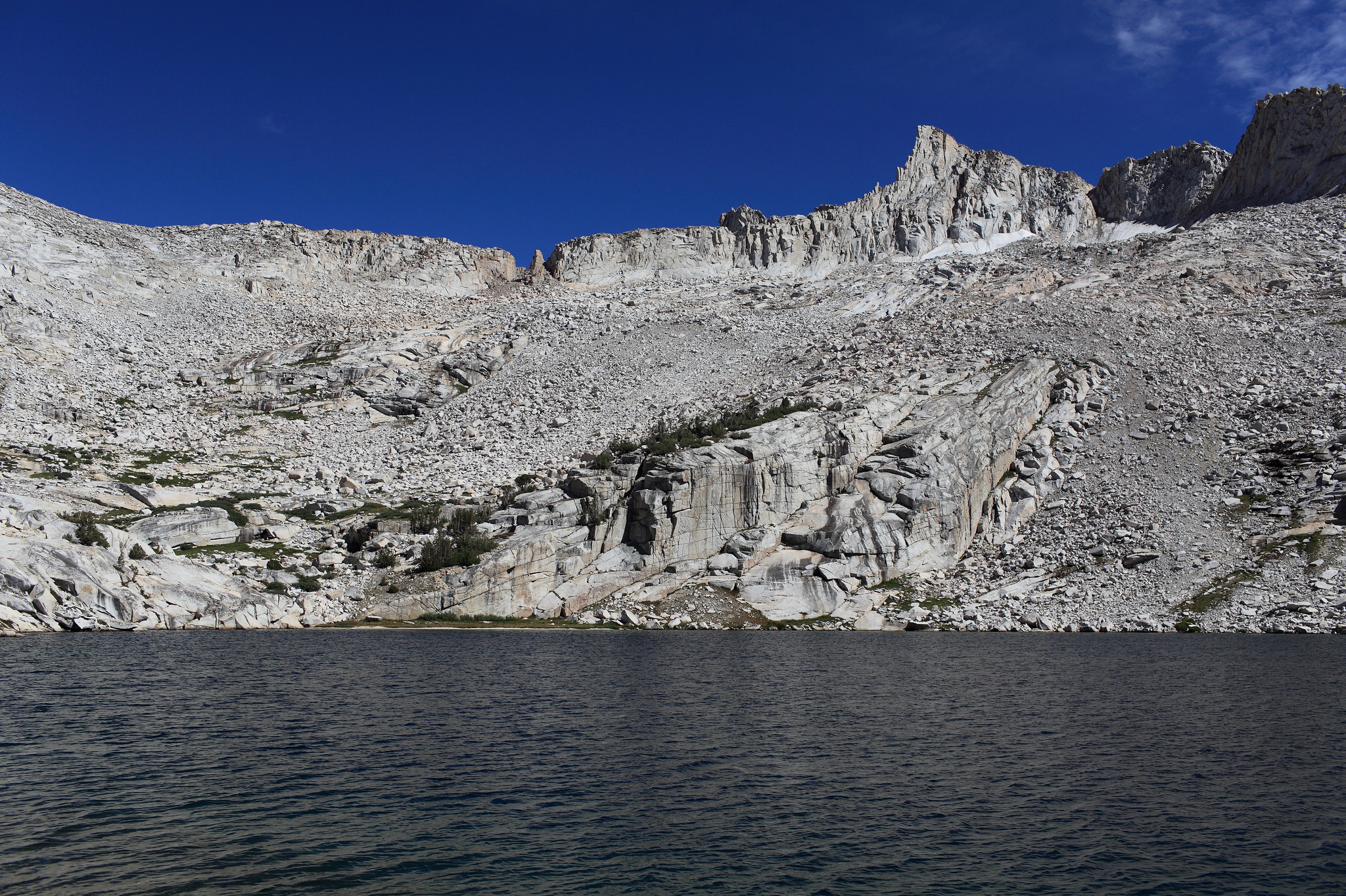
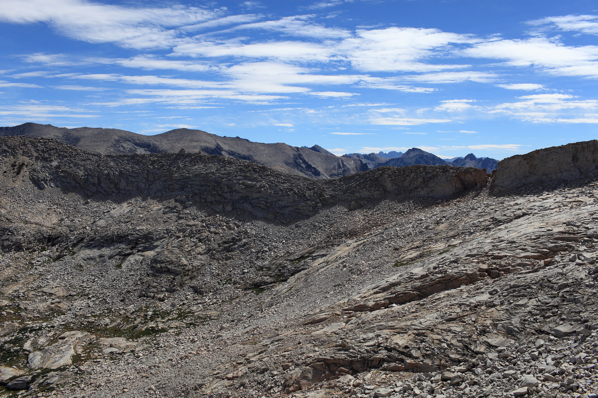
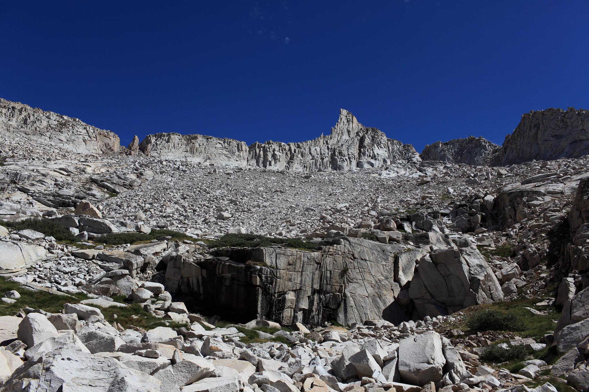
ROUTE DESCRIPTION: I crossed this pass on 2012-09-13, a low snow year. I didn't take direct route because I wanted to visit Blue Canyon Pass. From the lakes below the pass on the east side I climbed straight to Blue Canyon Pass, traversed 1/3rd of the way towards Finger Col, went down to the creek below the pass (col), and climbed to the small lake below the pass. One could easily climb to this lake directly from the lakes below. Then I angled left on a gentle slope towards a steep wall and then under the wall to the pass. I descended the pass on west side going left (WSW), not directly to Cathedral Lake, hoping to avoid some talus. Then I aimed at a small ridge topped with a line of trees near the lake inlet flowing from the pass and followed the ridge and somewhat below it to the inlet. The indirect descent route that I took didn't seem to have less talus then the direct way down.
The pass has a prominent vertical rock pillar "finger" clearly seen from the west.
See a mention of a guidebook that describes traverse between Blue Canyon Pass and Finger Col.
PHOTOS:
Click on images to see larger versions.
Looking up to the pass, from the east. Zoom in. The pass is in the notch slightly to the right. Looking from traverse from Blue Canyon Pass. Zoom in. Looking from the small lake directly below the pass (eastern side). Getting close. Looking back east. The first view of west side shows verticall wall. A view of western side. The finger, and view of west side in background.
GENERAL OVERVIEW: Crosses White Divide. Connects Blackcap Basin at Cathedral Lake with a basin of unnamed lakes above and west from Goddard Creek.
CLASS/DIFFICULTY: Class 2.
LOCATION: Border of John Muir Wilderness in Sierra National Forest and Kings Canyon National Park. HST Map.
ELEVATION: 11,560+ ft.
USGS TOPO MAP (7.5'): Mt Goddard.
ROUTE DESCRIPTION: I crossed this pass on 2012-09-13, a low snow year. I didn't take direct route because I wanted to visit Blue Canyon Pass. From the lakes below the pass on the east side I climbed straight to Blue Canyon Pass, traversed 1/3rd of the way towards Finger Col, went down to the creek below the pass (col), and climbed to the small lake below the pass. One could easily climb to this lake directly from the lakes below. Then I angled left on a gentle slope towards a steep wall and then under the wall to the pass. I descended the pass on west side going left (WSW), not directly to Cathedral Lake, hoping to avoid some talus. Then I aimed at a small ridge topped with a line of trees near the lake inlet flowing from the pass and followed the ridge and somewhat below it to the inlet. The indirect descent route that I took didn't seem to have less talus then the direct way down.
The pass has a prominent vertical rock pillar "finger" clearly seen from the west.
See a mention of a guidebook that describes traverse between Blue Canyon Pass and Finger Col.
PHOTOS:
Click on images to see larger versions.
Looking up to the pass, from the east. Zoom in. The pass is in the notch slightly to the right. Looking from traverse from Blue Canyon Pass. Zoom in. Looking from the small lake directly below the pass (eastern side). Getting close. Looking back east. The first view of west side shows verticall wall. A view of western side. The finger, and view of west side in background.