Observation Peak Pass (unofficial)
Posted: Sat Nov 10, 2012 8:54 pm
TITLE: Observation Peak Pass (unofficial)
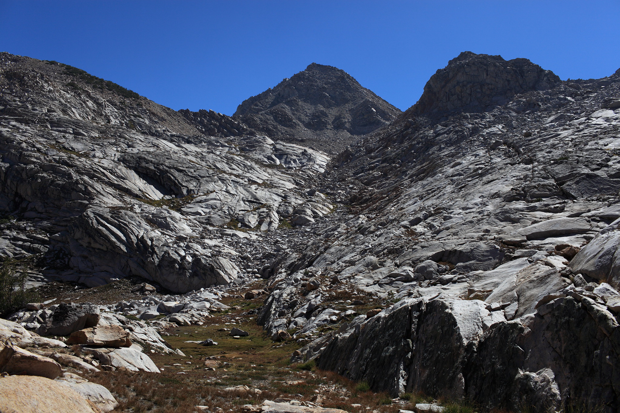
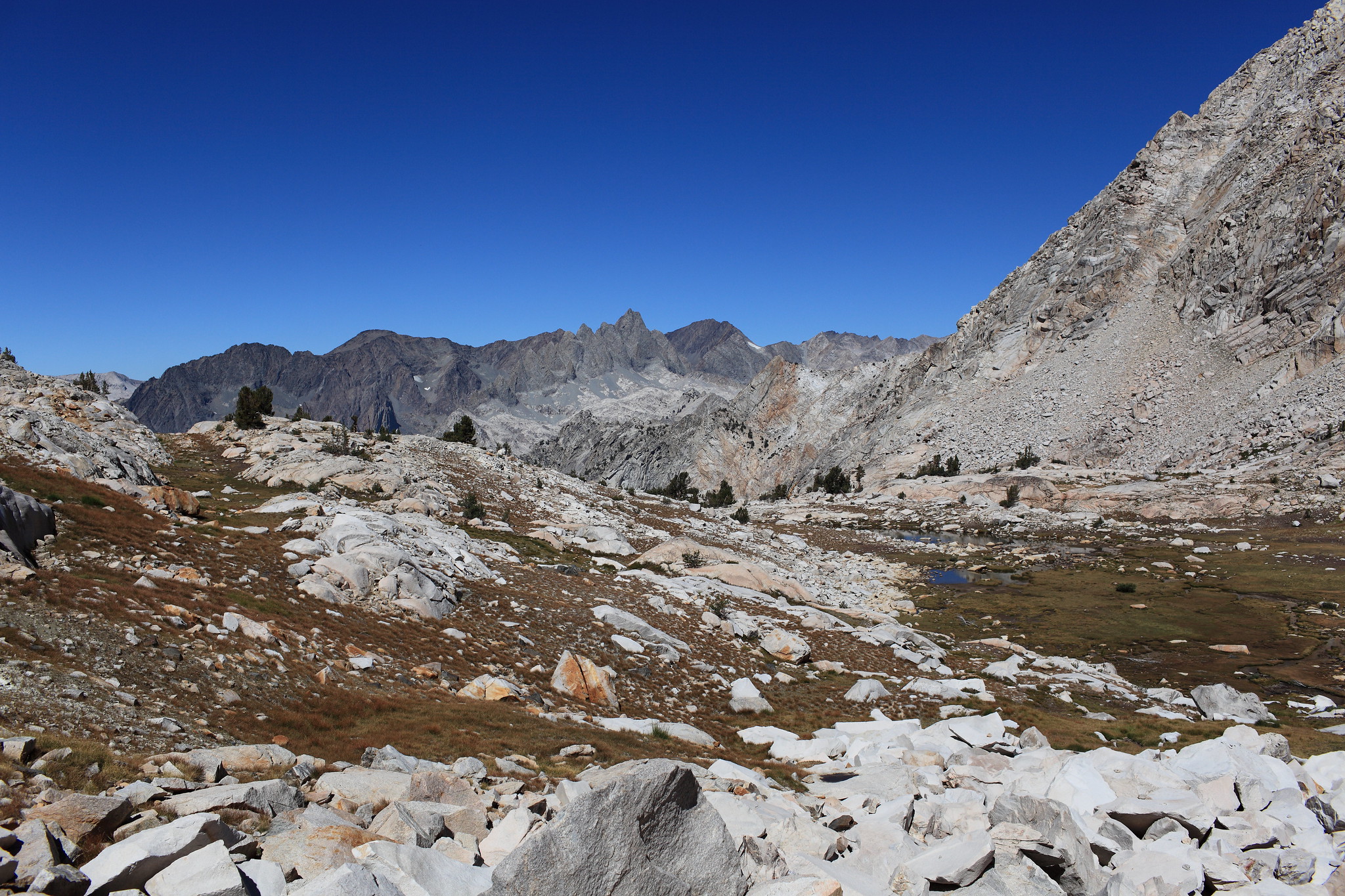
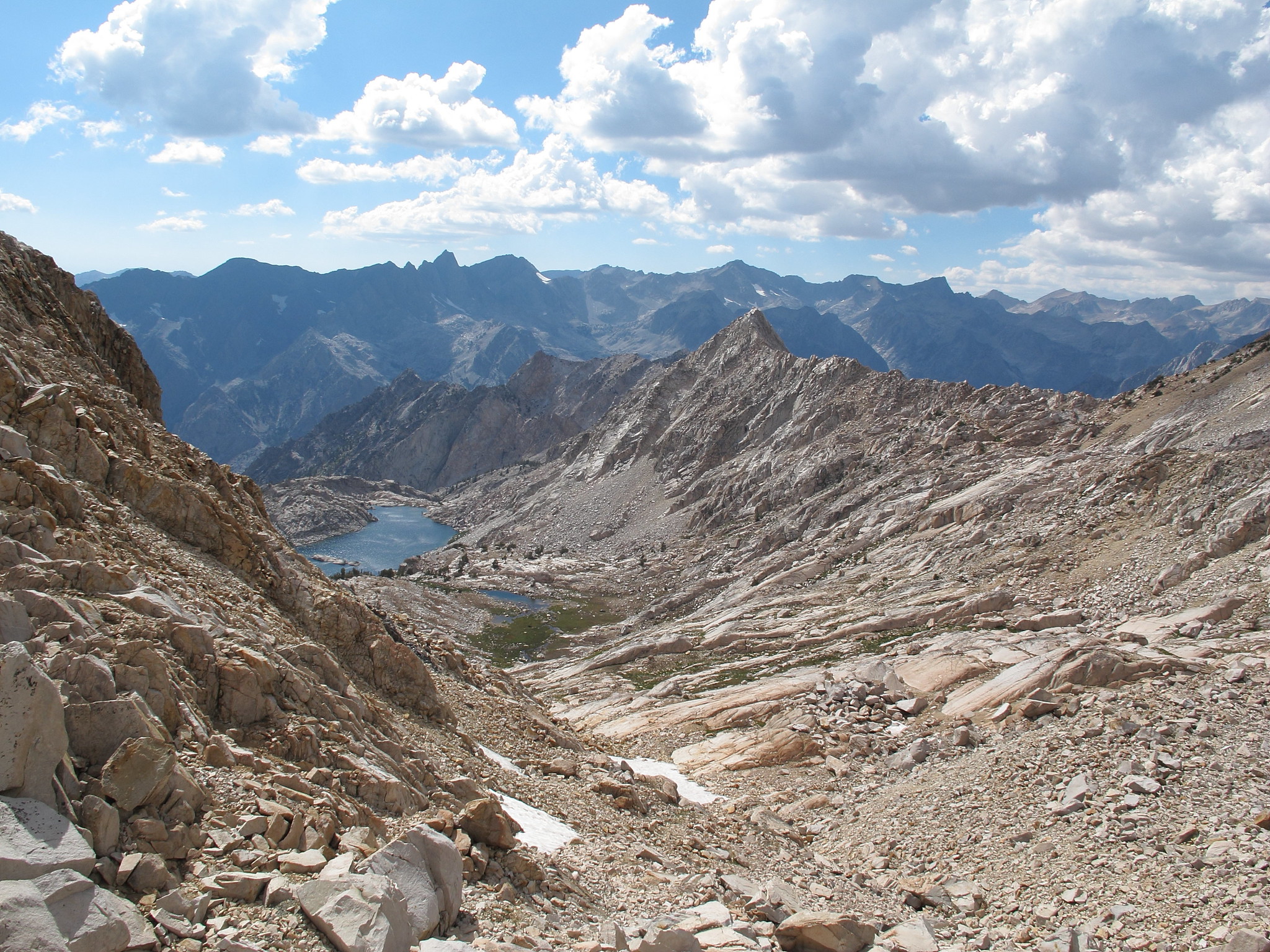
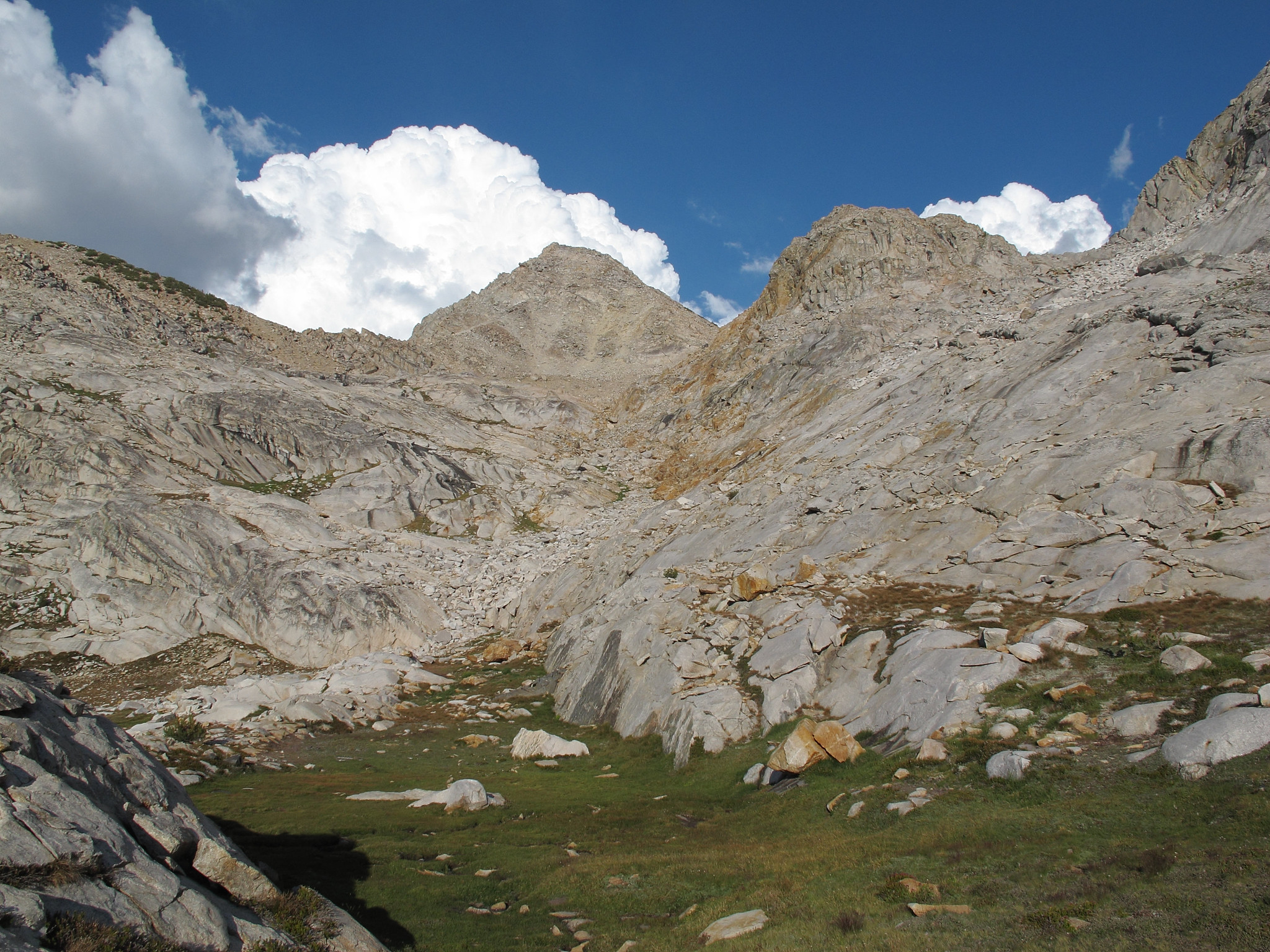
GENERAL OVERVIEW: This pass leads from the basin just South of Observation Peak including Dumbbell Lakes into the basin with unnamed lakes West of Observation Peak including Lake 10,565.
CLASS/DIFFICULTY: Class 2
LOCATION: Kings Canyon National Park on the West Ridge of Observation Peak. HST Map
ELEVATION: 11,700
USGS TOPO MAP (7.5'): North Palisade
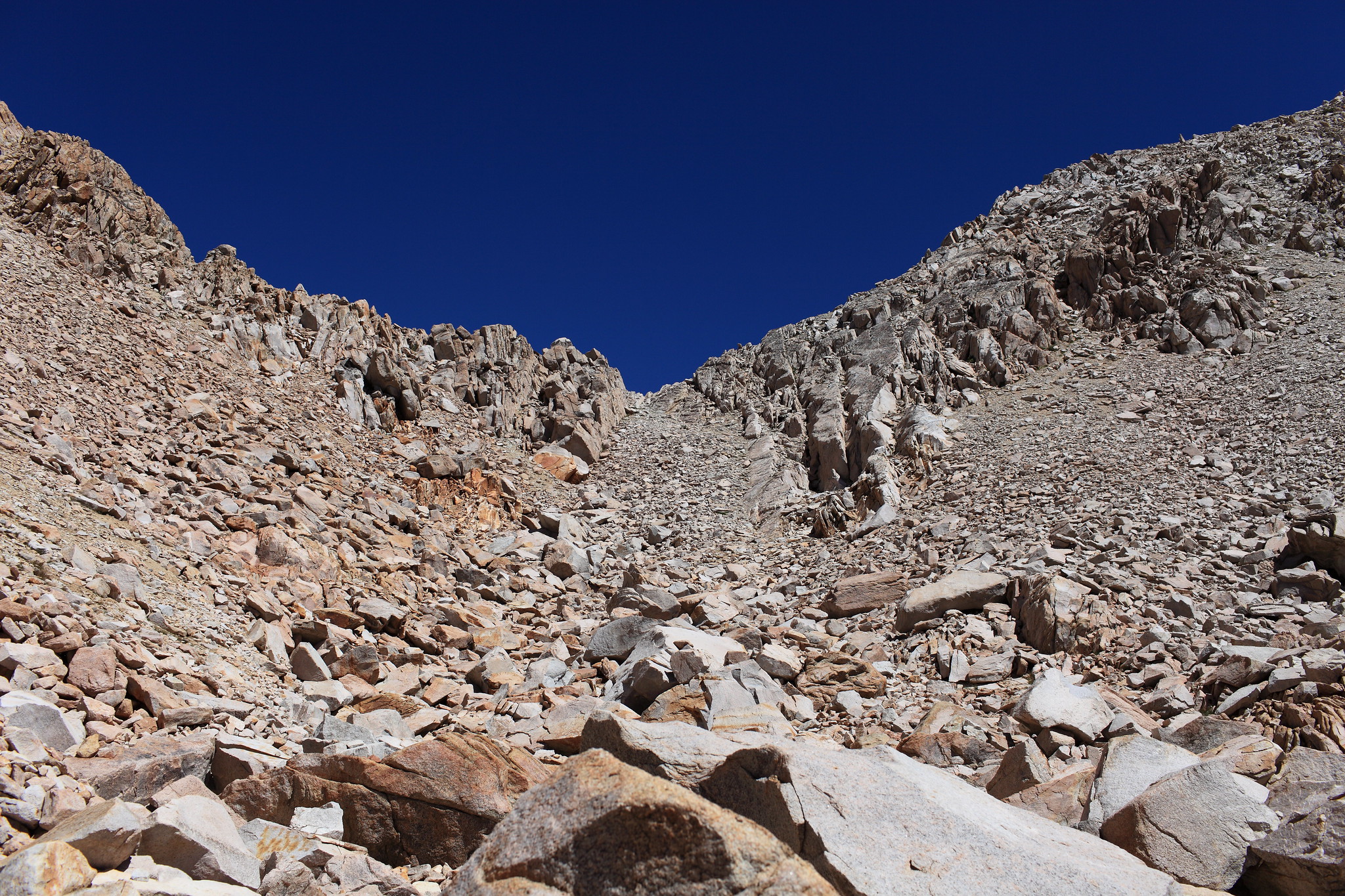
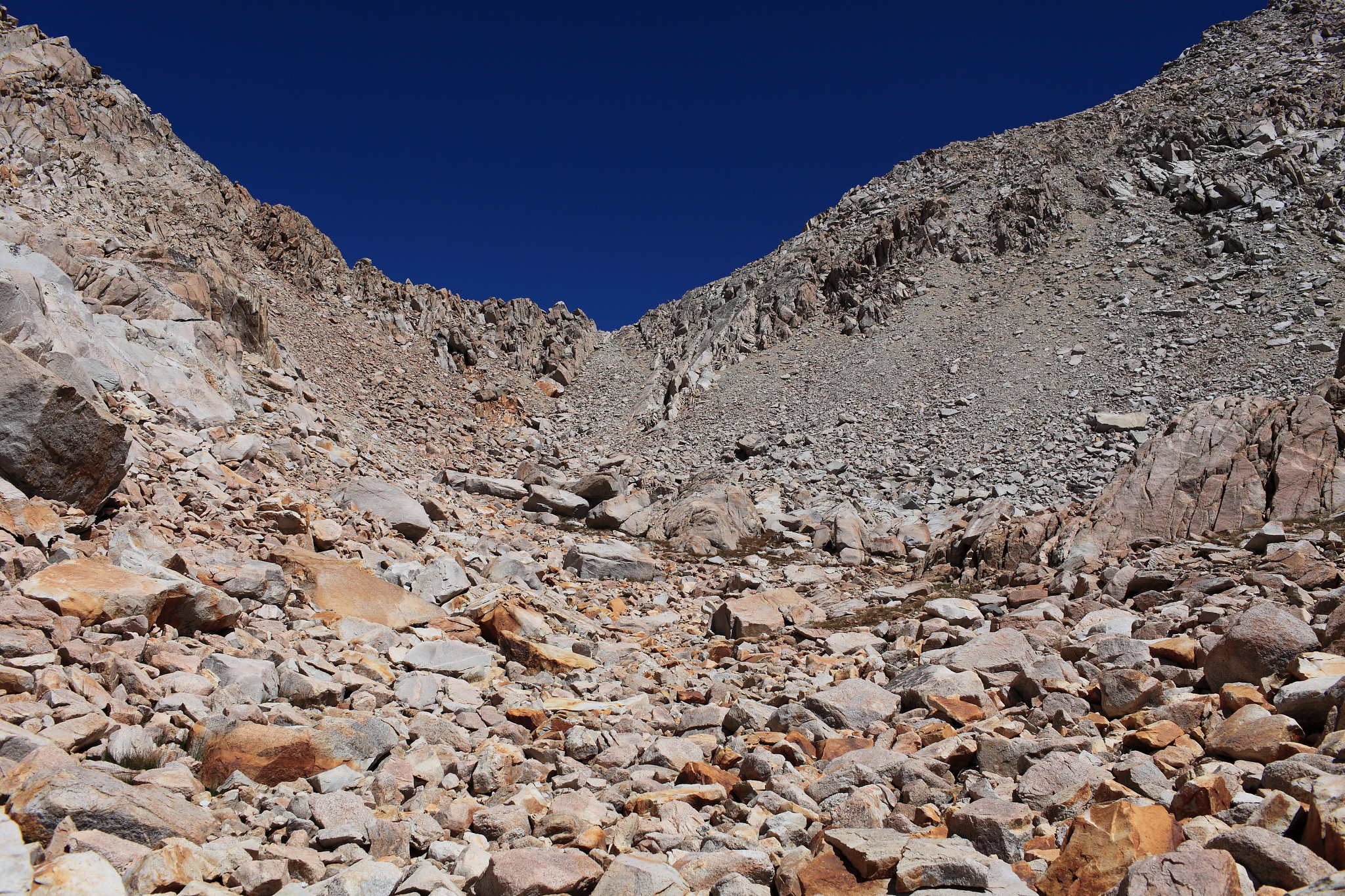
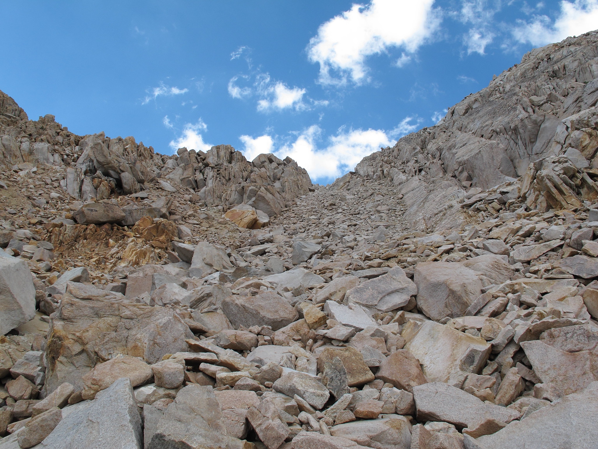
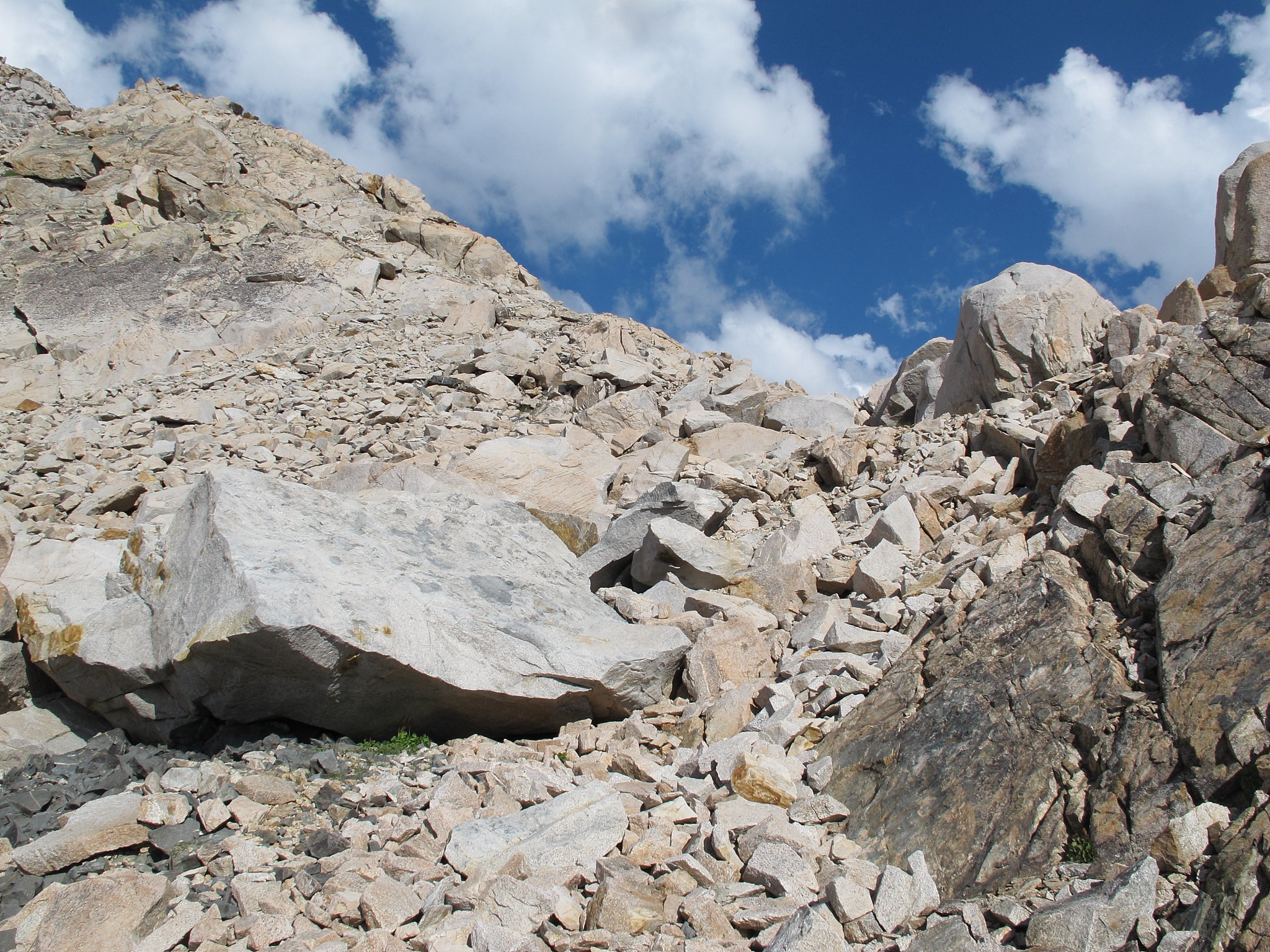
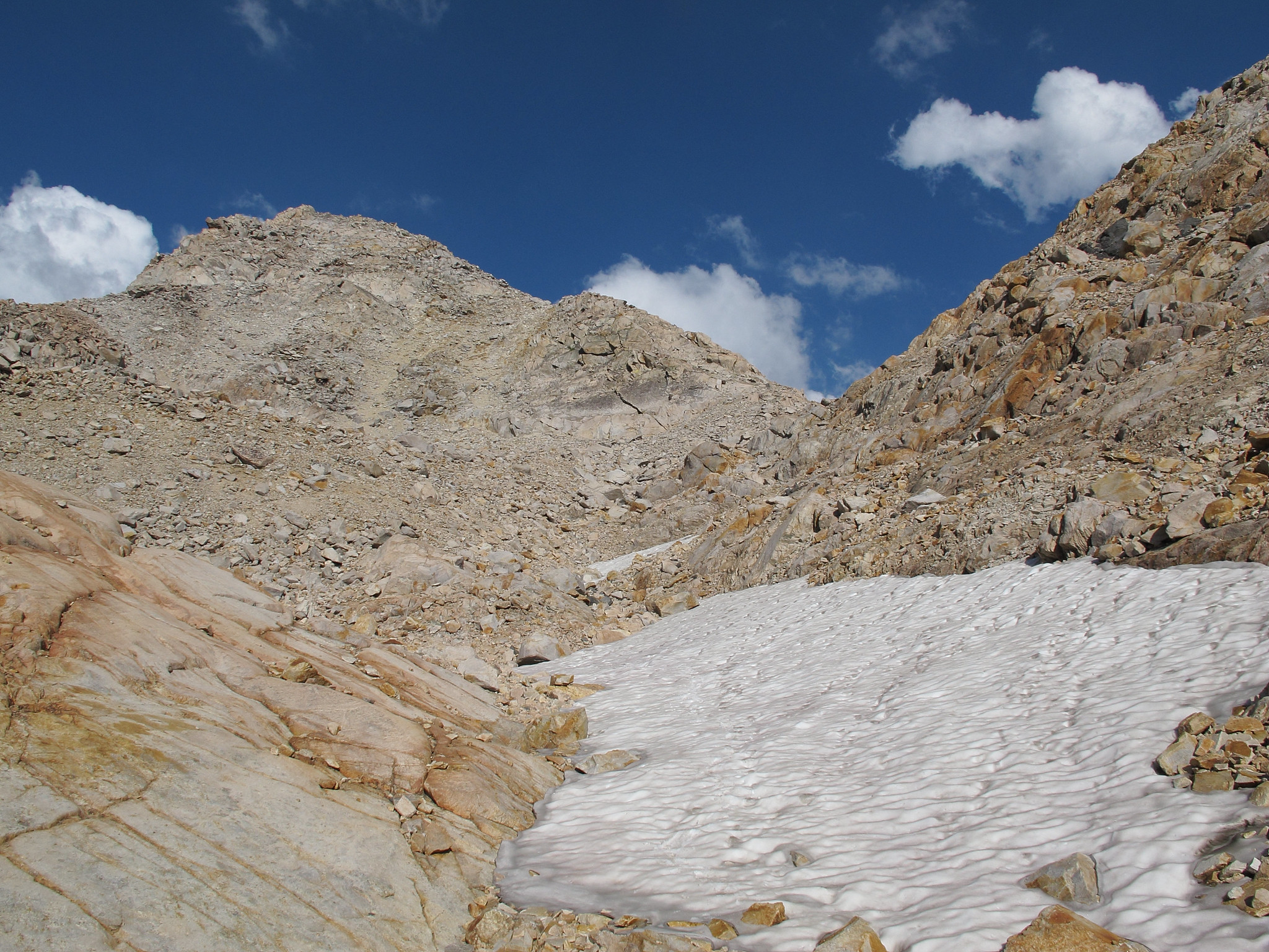
ROUTE DESCRIPTION: From the unnamed lake NW of the Dumbbell Lakes go around it's Eastern shore and begin angling up towards a mess of willows that are growing down from and along a rib of rock with a slice all along it's East side. Go around the willows and hug the cliff wall where it will narrow into a pinch point with the willows. From here you will have to climb through a few Rose bushes and willows to get up a small pitch of rocks. Proceed up towards the pass and hop over small - medium sized stable talus. The final approach is on small stable talus.
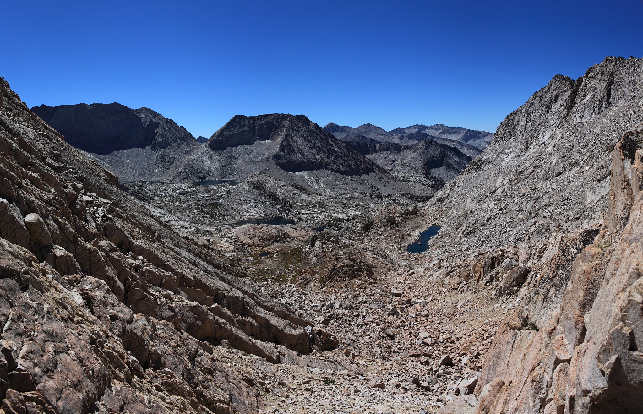
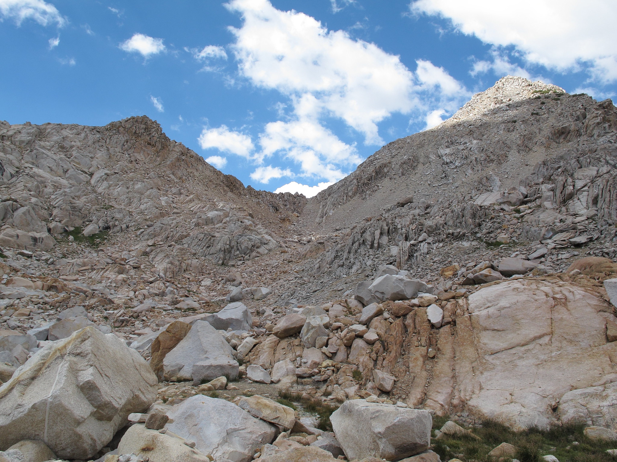
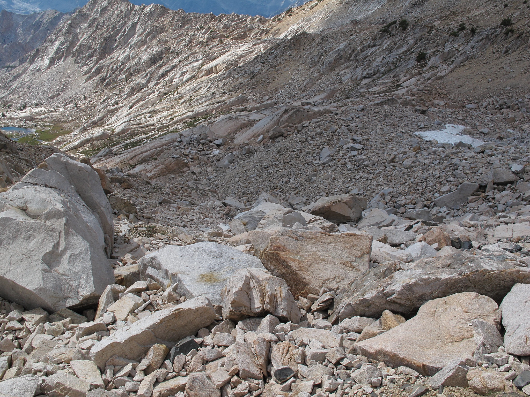
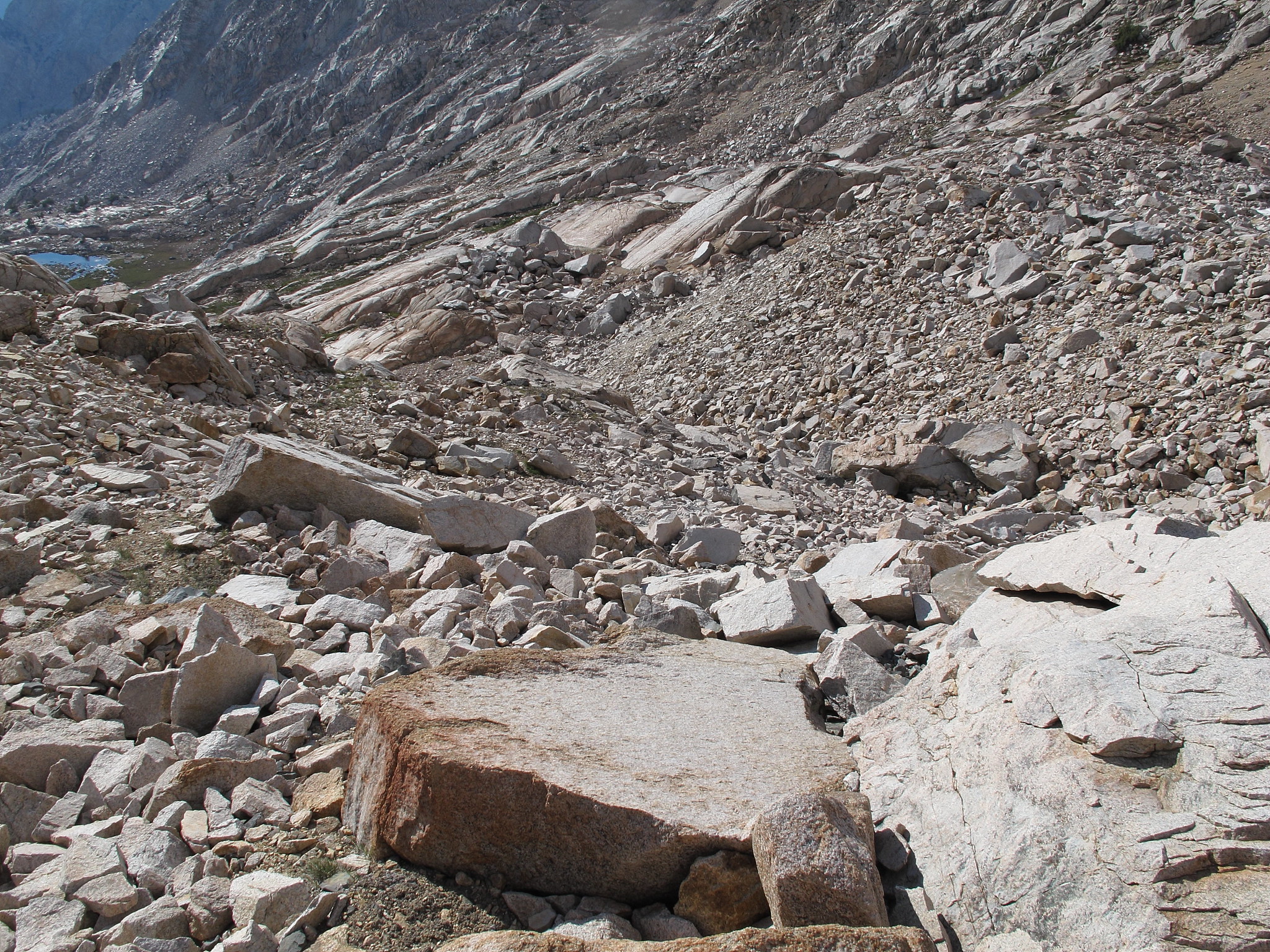
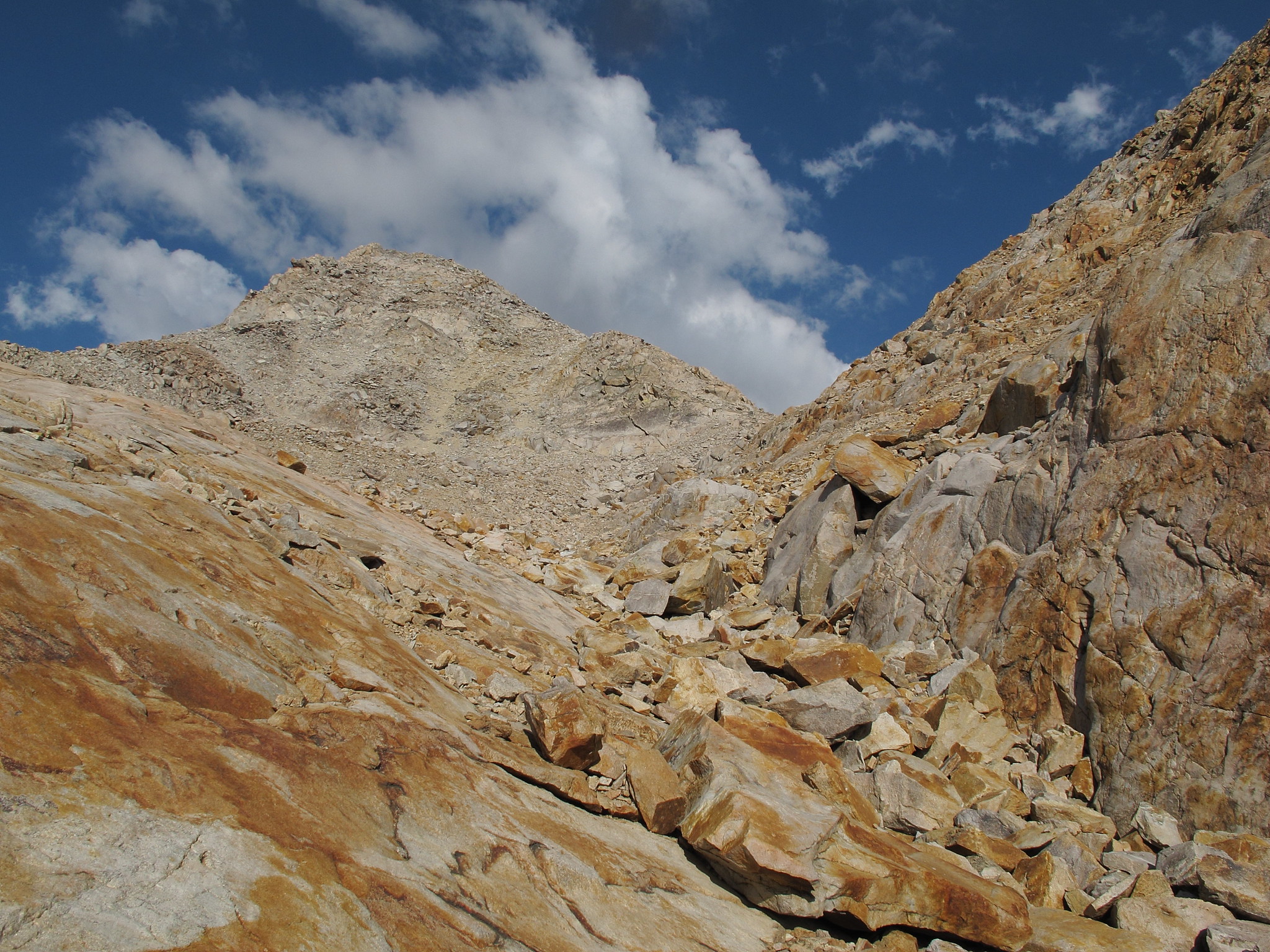
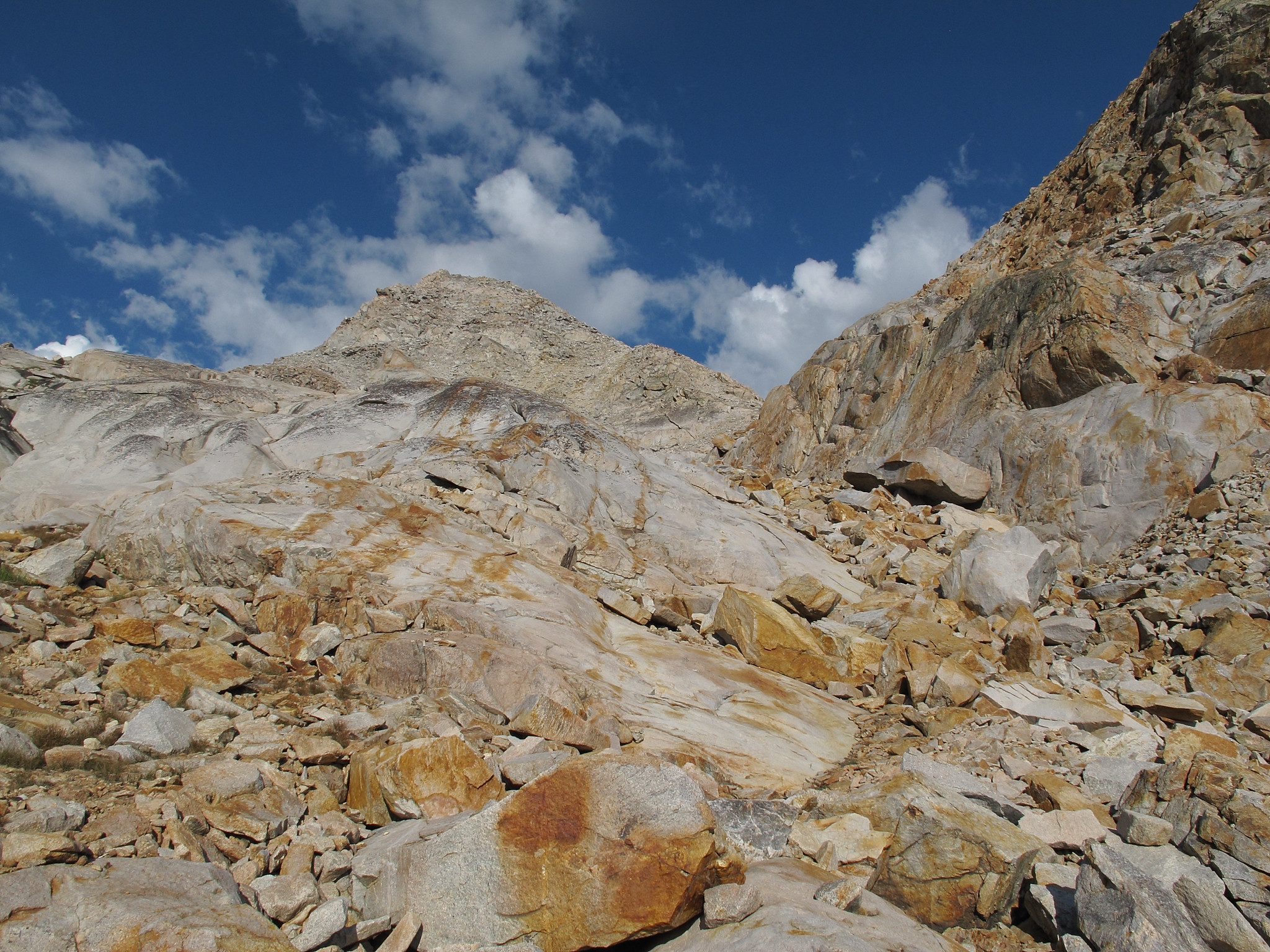
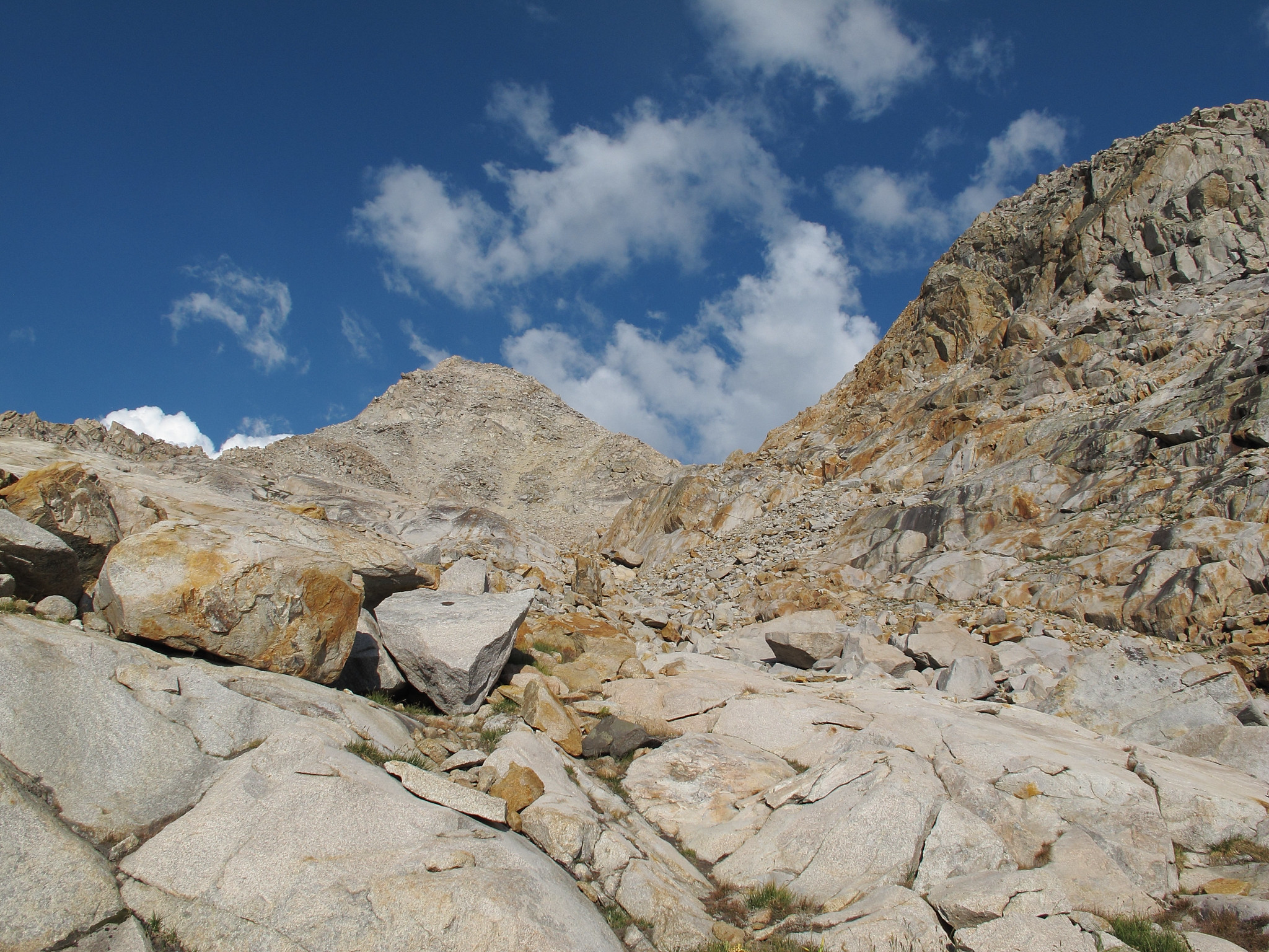
The descent involves small, medium and large talus that is sometimes tedious as you follow the obvious drainage point. At times it's best to leave this drainage and pick your way down some granite shevles but generally is quite easy.
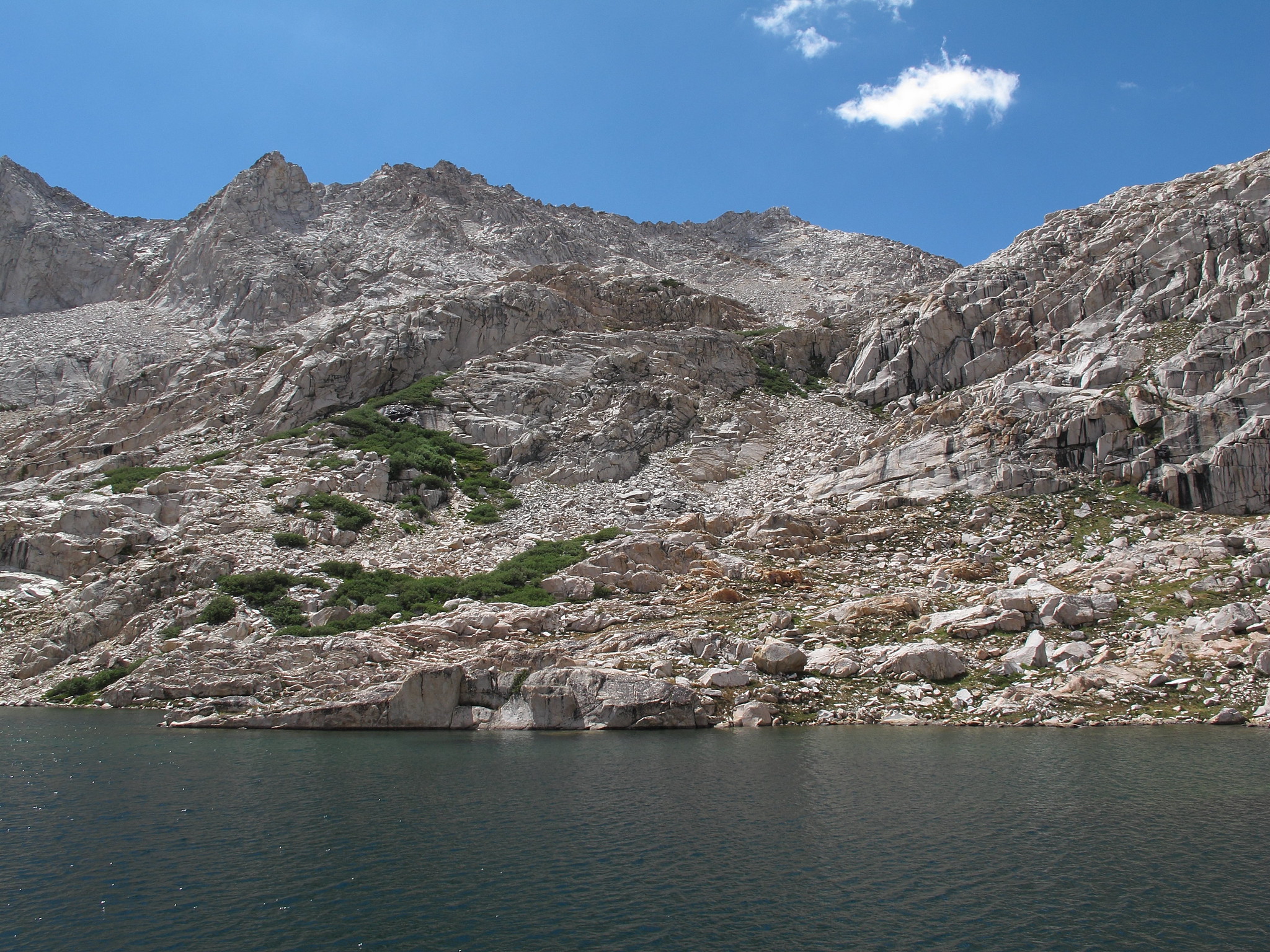
If you stay slightly right as you near lake 10,565 grass ramps can be taken down to the lake. Avoid going to far left or you will have to climb down class 3-5 cliffs.


GENERAL OVERVIEW: This pass leads from the basin just South of Observation Peak including Dumbbell Lakes into the basin with unnamed lakes West of Observation Peak including Lake 10,565.
CLASS/DIFFICULTY: Class 2
LOCATION: Kings Canyon National Park on the West Ridge of Observation Peak. HST Map
ELEVATION: 11,700
USGS TOPO MAP (7.5'): North Palisade
ROUTE DESCRIPTION: From the unnamed lake NW of the Dumbbell Lakes go around it's Eastern shore and begin angling up towards a mess of willows that are growing down from and along a rib of rock with a slice all along it's East side. Go around the willows and hug the cliff wall where it will narrow into a pinch point with the willows. From here you will have to climb through a few Rose bushes and willows to get up a small pitch of rocks. Proceed up towards the pass and hop over small - medium sized stable talus. The final approach is on small stable talus.
The descent involves small, medium and large talus that is sometimes tedious as you follow the obvious drainage point. At times it's best to leave this drainage and pick your way down some granite shevles but generally is quite easy.
If you stay slightly right as you near lake 10,565 grass ramps can be taken down to the lake. Avoid going to far left or you will have to climb down class 3-5 cliffs.