Alpine Col
Posted: Thu Nov 01, 2012 4:42 pm
TITLE: Alpine Col
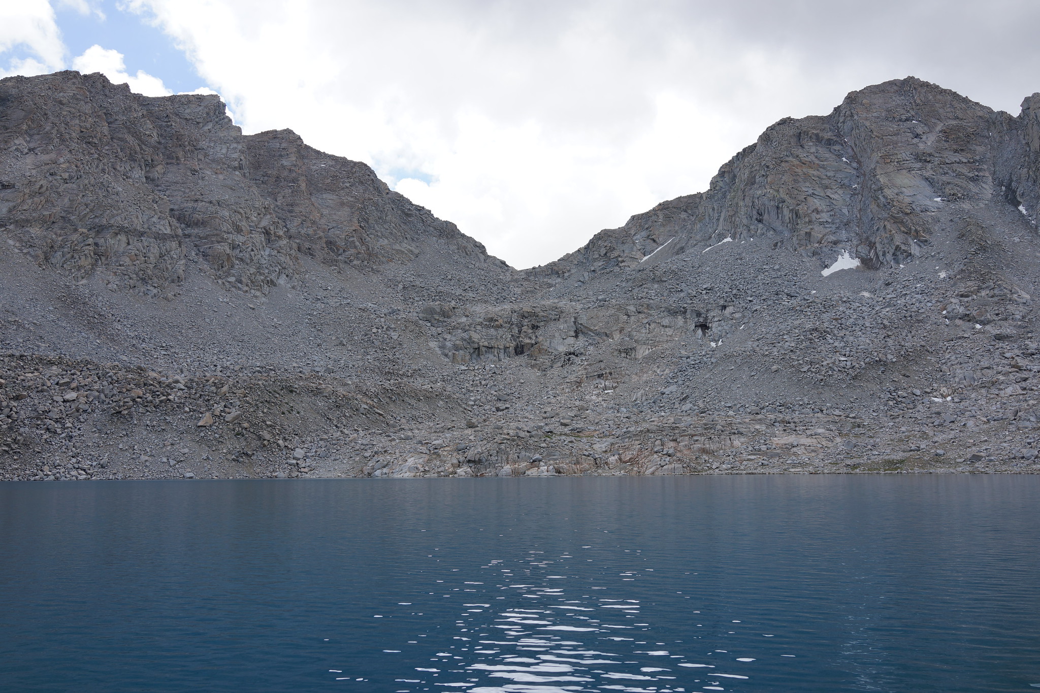
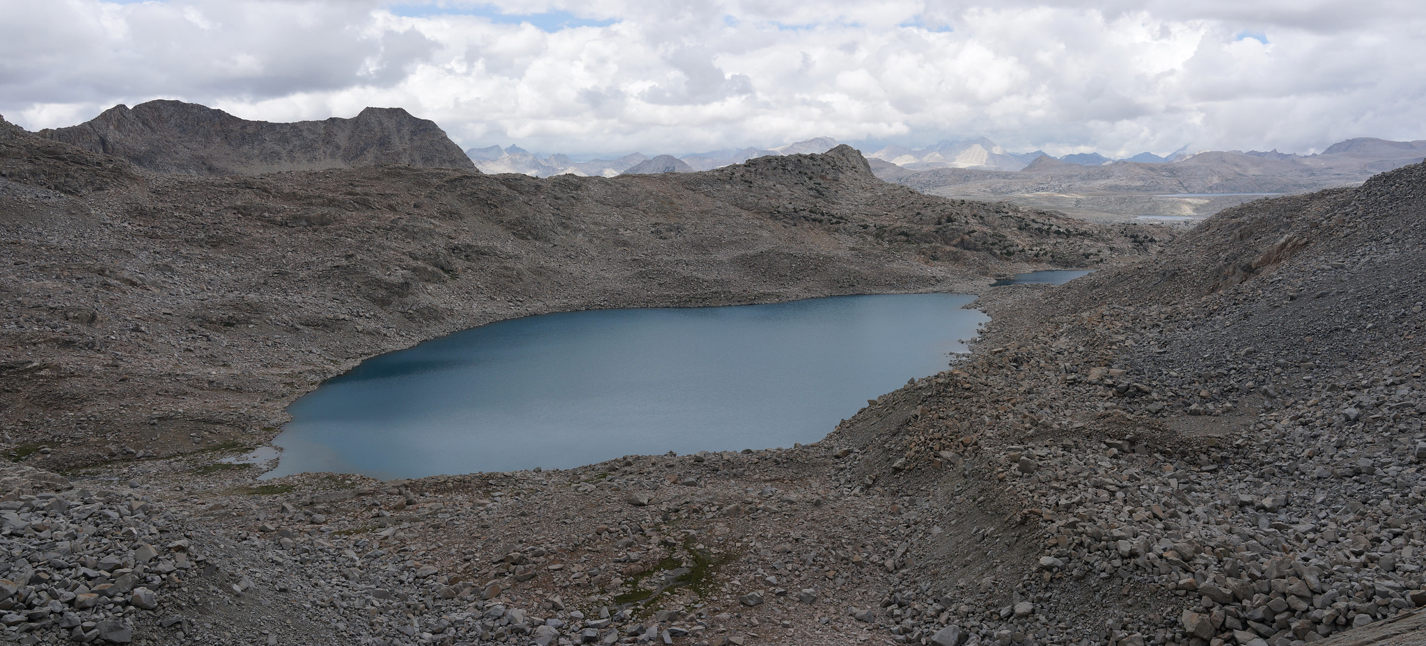
GENERAL OVERVIEW: This pass leads between the upper Darwin Bench and Lake 11,910 to the Goethe Lakes and Humphreys Basin.
CLASS/DIFFICULTY: Class 2
LOCATION: SW of Muriel Peak, NE of Mt. Goethe. Bordering Kings Canyon National Park and the Mono Divide area. Sierra National Forest / John Muir Wilderness HST Map
ELEVATION: 12,350
USGS TOPO MAP (7.5'): Mt. Darwin
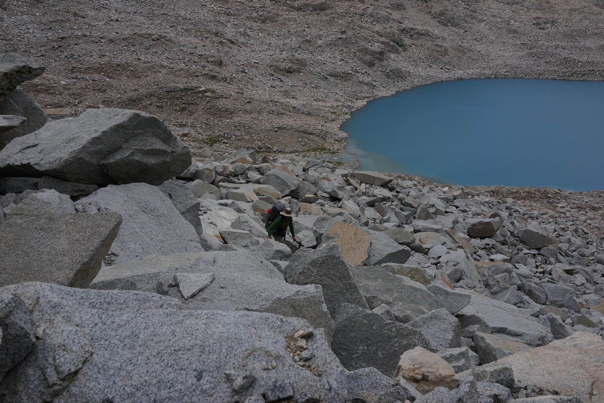
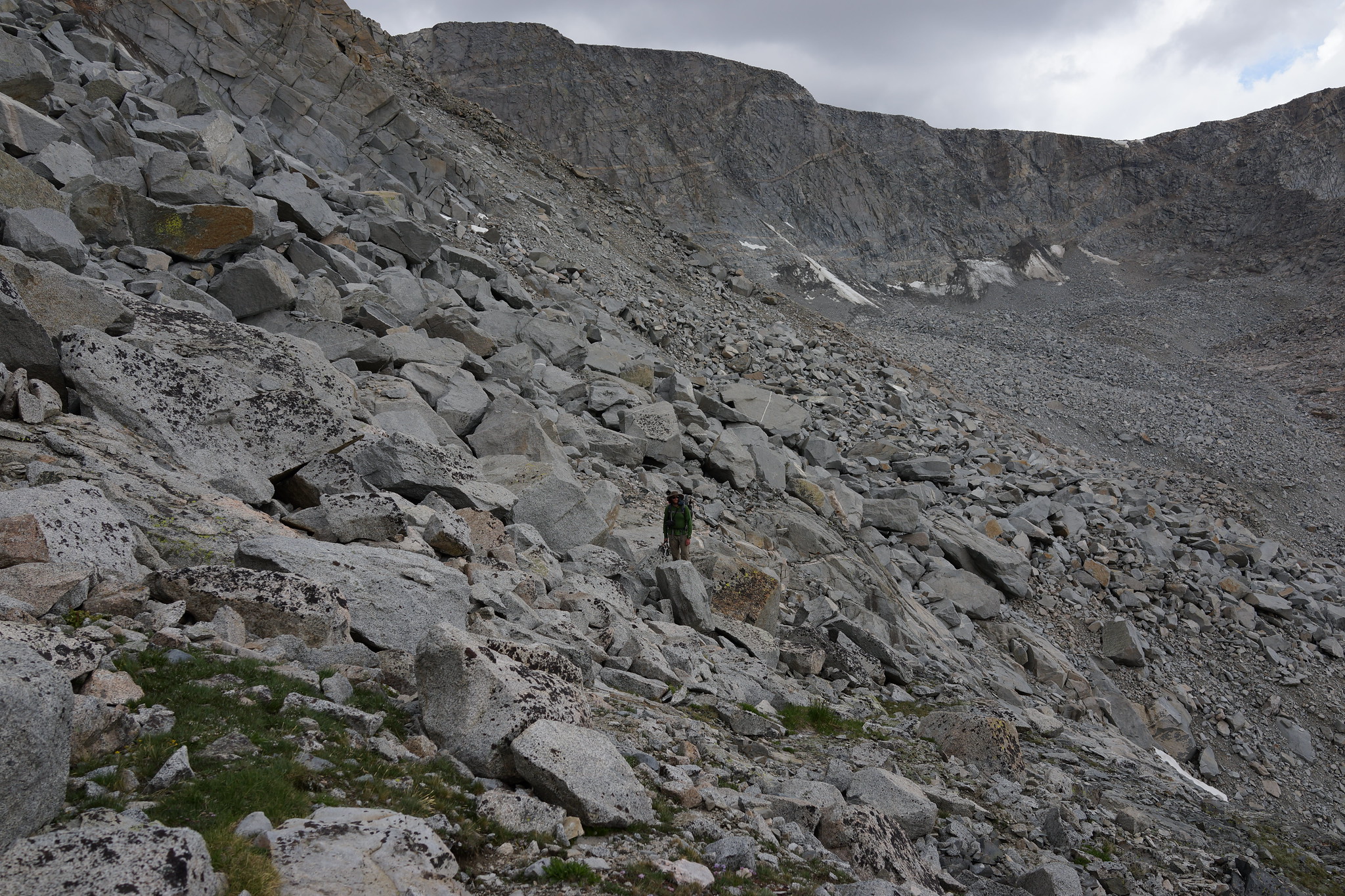
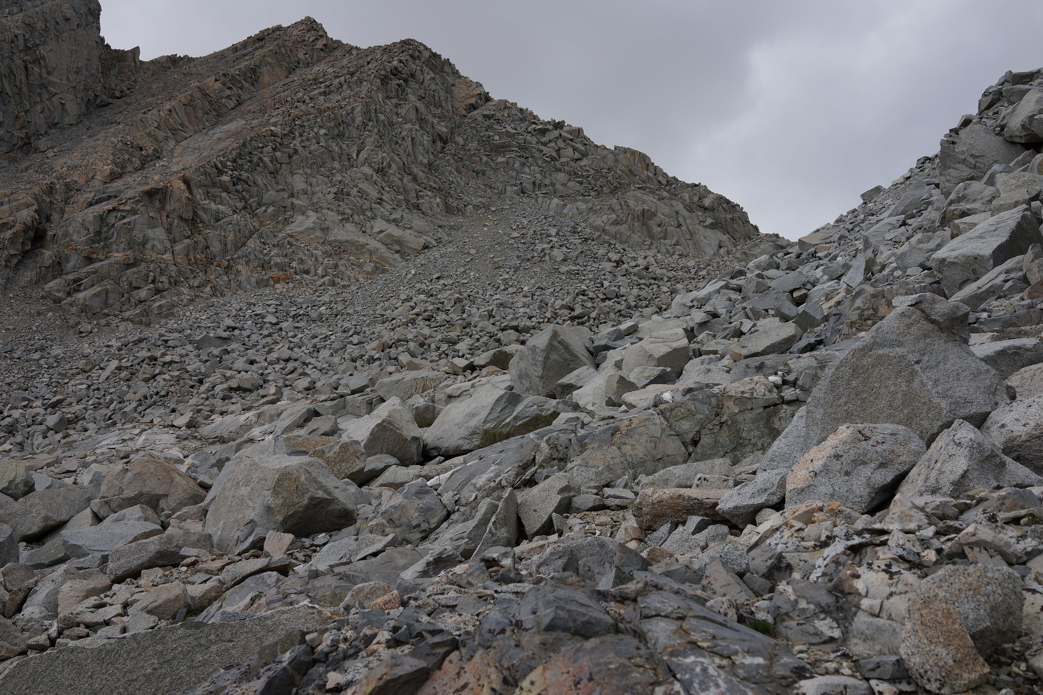
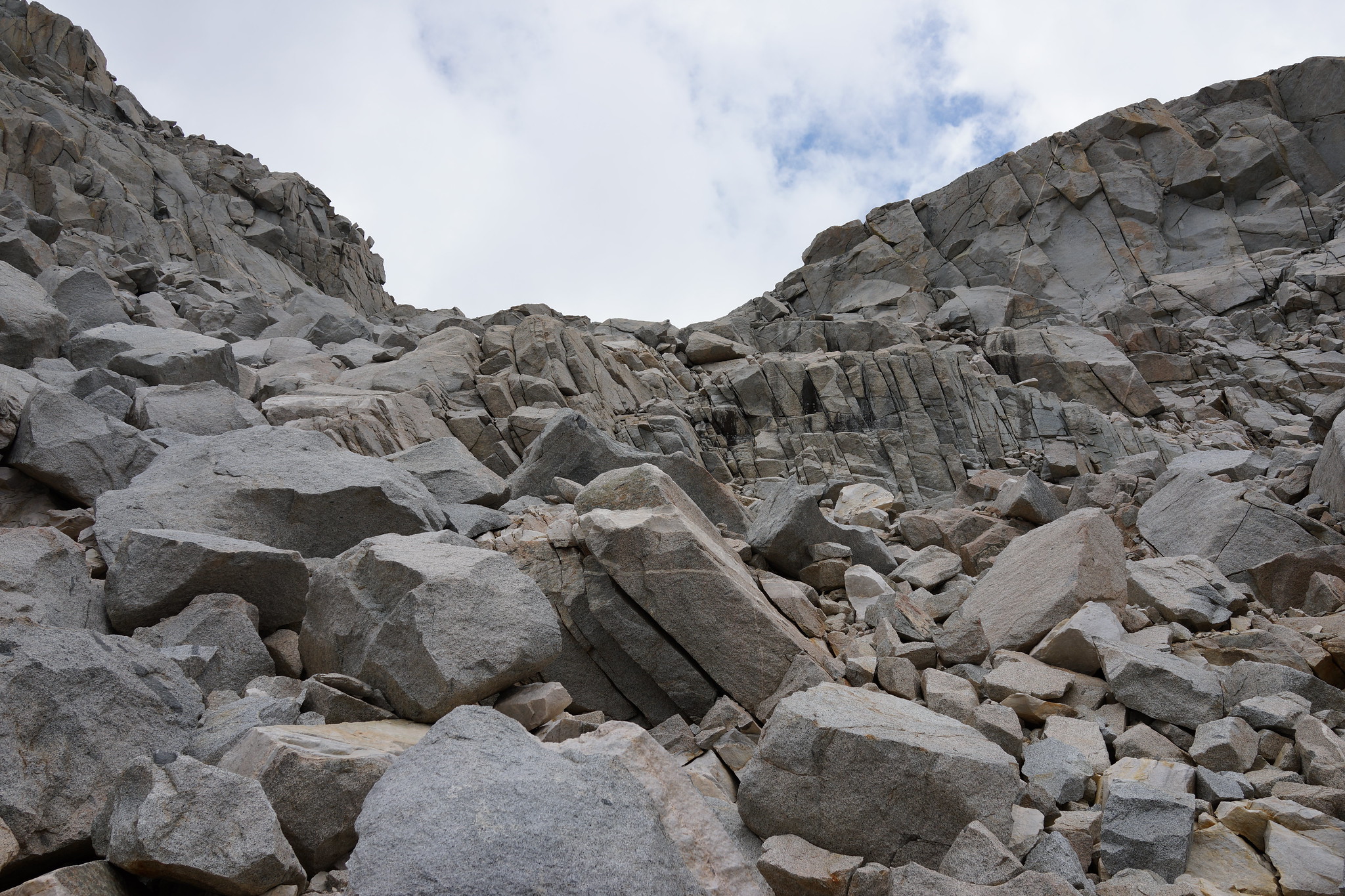
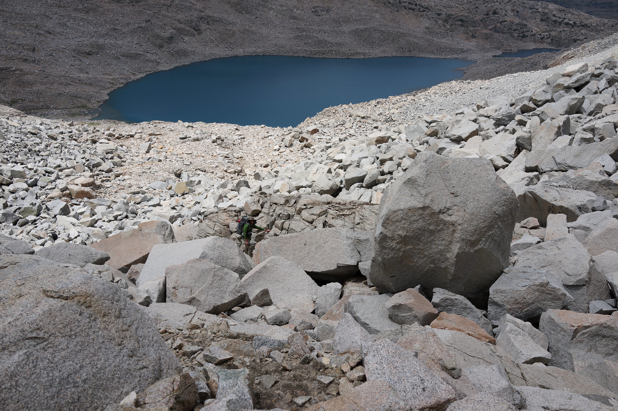
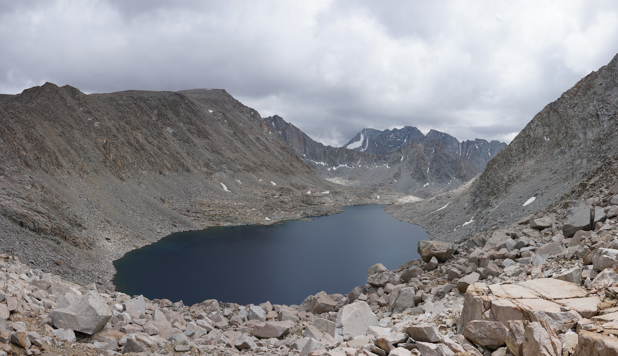
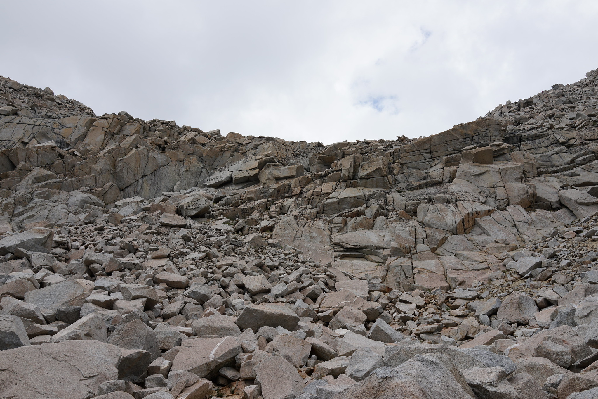
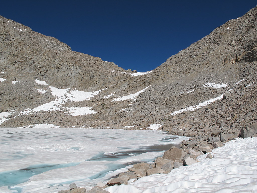
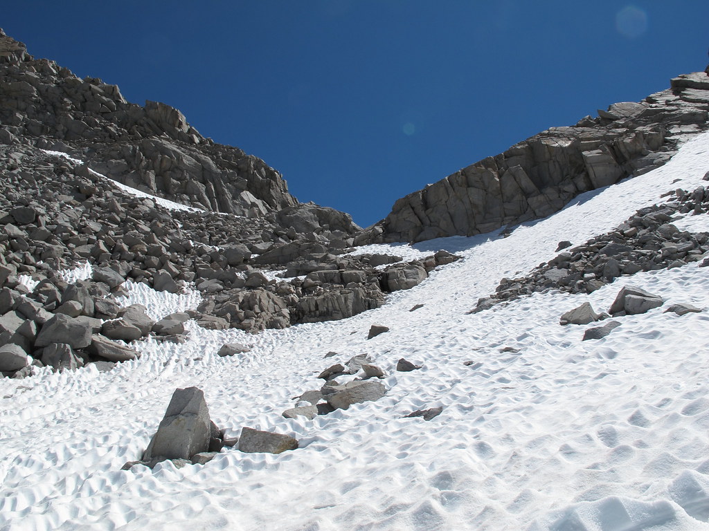
ROUTE DESCRIPTION: Take the Eastern side of Lake 11,910. Before you are directly under the pass begin angling up past some bits of grass. There are 3 rock outcroppings that form small cliff faces. Between these are two sections filled with some mixed talus. Aim for the one on the right. Once you have passed the major rock outcroppings it's an easy walk to the top.
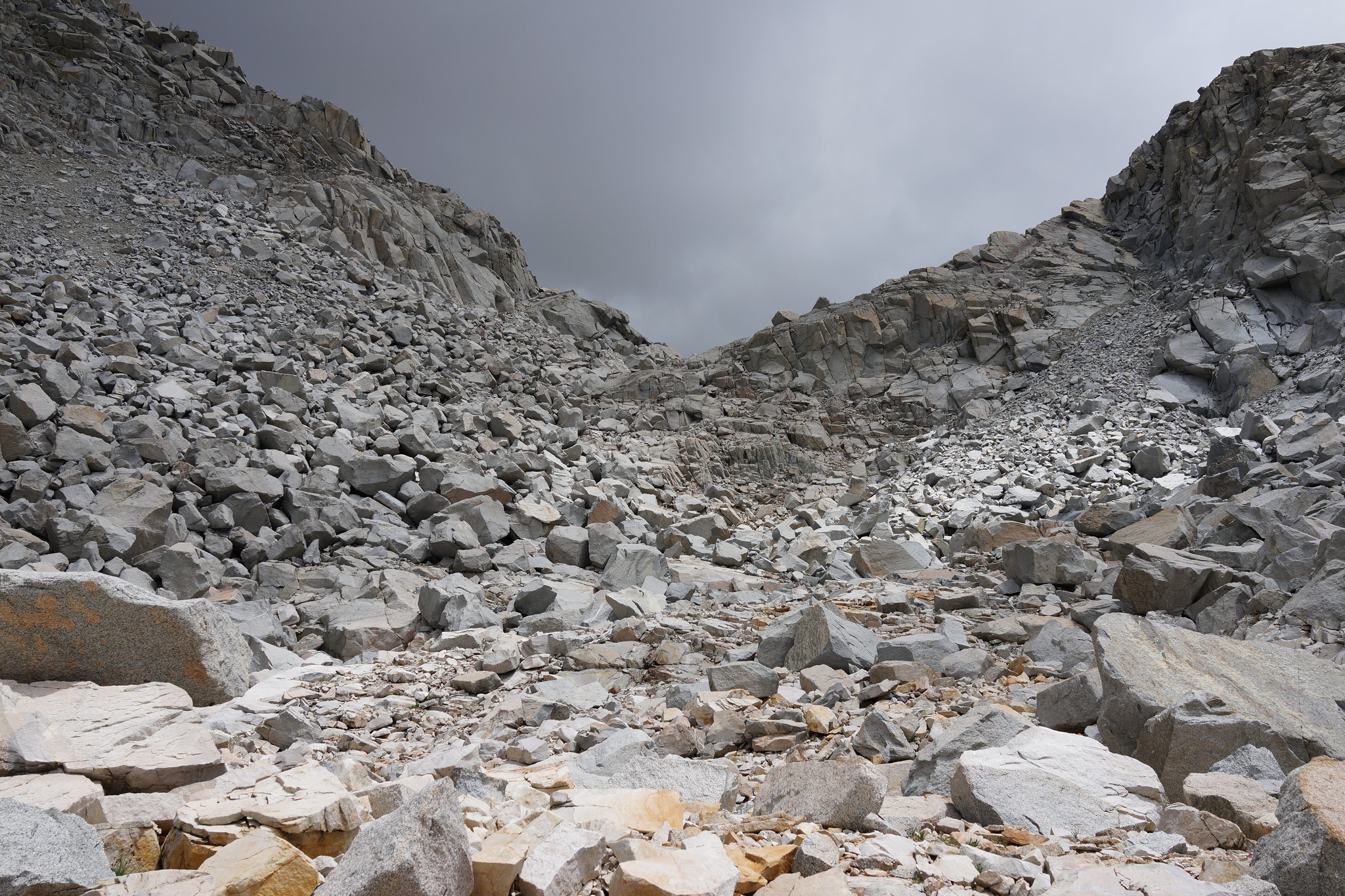
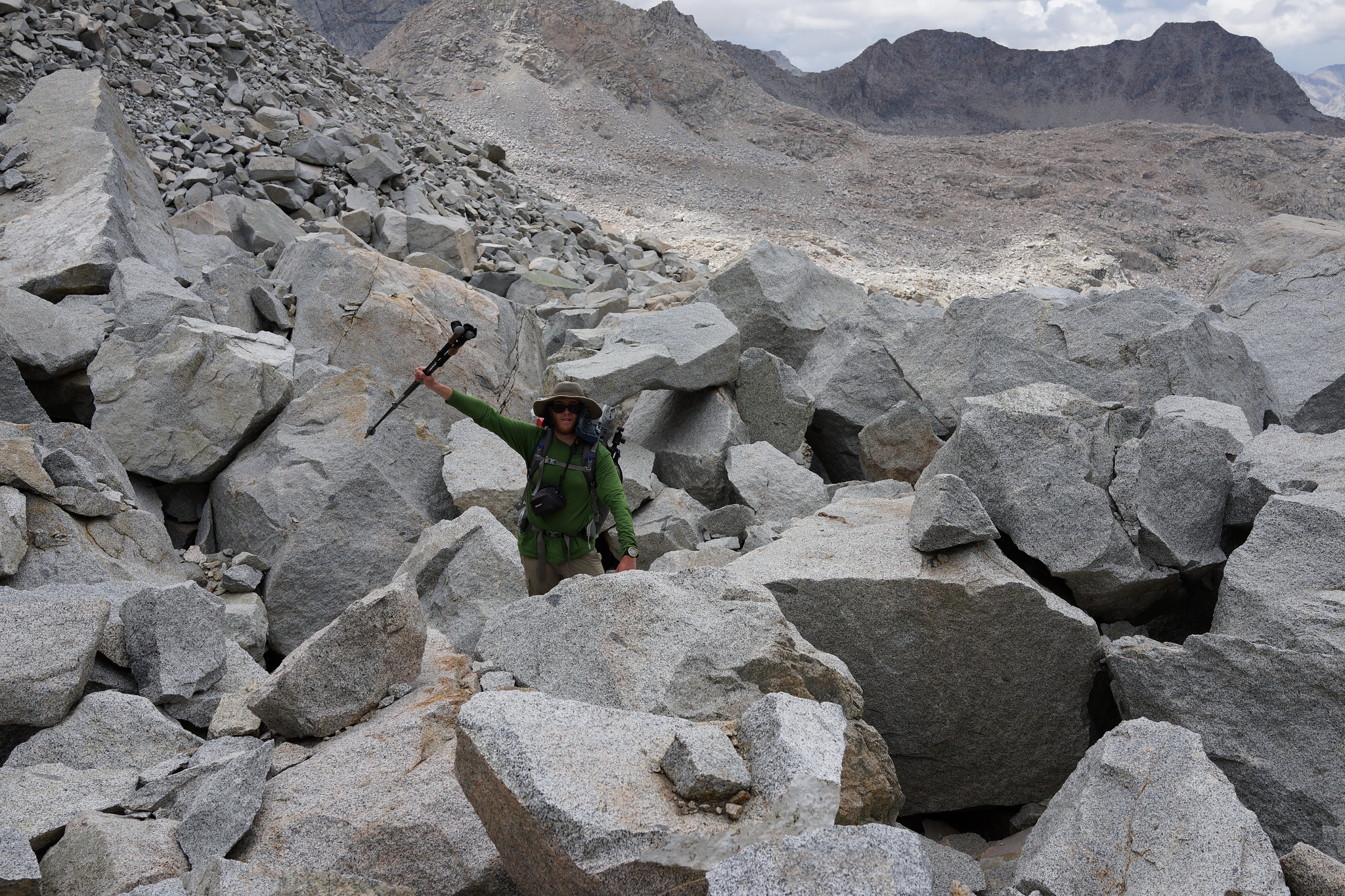
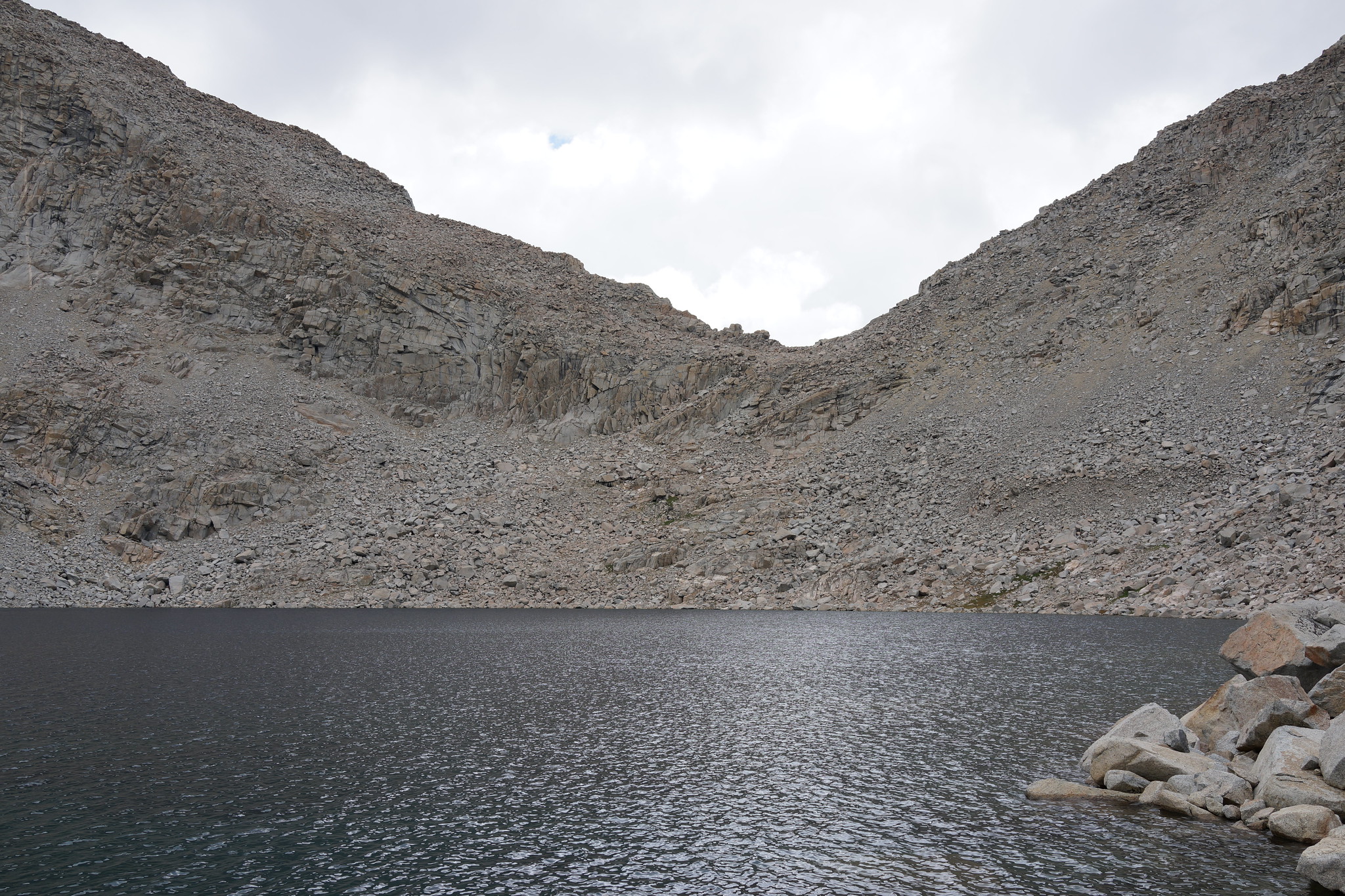
Drop down the pass slightly and angle left onto smaller talus slopes. Continue to drop down until cliffs are in front of you. From here you will have to either choose to go right or left. The right side has very large talus fields. Off hand I would recommend going left but due to the amount of snow present when I crossed it I cannot comment on the nature of the terrain.
Make sure to take the Western shore of Goethe Lakes!

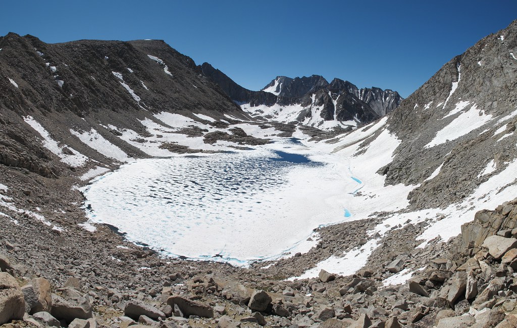


GENERAL OVERVIEW: This pass leads between the upper Darwin Bench and Lake 11,910 to the Goethe Lakes and Humphreys Basin.
CLASS/DIFFICULTY: Class 2
LOCATION: SW of Muriel Peak, NE of Mt. Goethe. Bordering Kings Canyon National Park and the Mono Divide area. Sierra National Forest / John Muir Wilderness HST Map
ELEVATION: 12,350
USGS TOPO MAP (7.5'): Mt. Darwin
ROUTE DESCRIPTION: Take the Eastern side of Lake 11,910. Before you are directly under the pass begin angling up past some bits of grass. There are 3 rock outcroppings that form small cliff faces. Between these are two sections filled with some mixed talus. Aim for the one on the right. Once you have passed the major rock outcroppings it's an easy walk to the top.
Drop down the pass slightly and angle left onto smaller talus slopes. Continue to drop down until cliffs are in front of you. From here you will have to either choose to go right or left. The right side has very large talus fields. Off hand I would recommend going left but due to the amount of snow present when I crossed it I cannot comment on the nature of the terrain.
Make sure to take the Western shore of Goethe Lakes!