Member descriptions, photos, and map locations of Cross Country Passes in the High Sierra. This forum is for information only - discussions should be kept in the appropriate categories. This forum is a component of the HST Map. We need your help to complete the database, so please contribute!
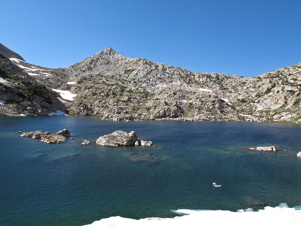
GENERAL OVERVIEW: This pass leads between Bighorn Lake and the North Fork of Mono Creek to Tully and Cotton Lakes Along upper Fish Creek.
CLASS/DIFFICULTY: Class 2
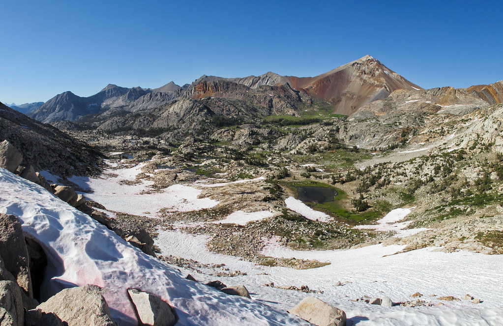
LOCATION: John Muir Wilderness & Sierra National Forest NE of Mt. Izaak Walton. HST Map
ELEVATION: 11,260
USGS TOPO MAP (7.5'): Graveyard Peak
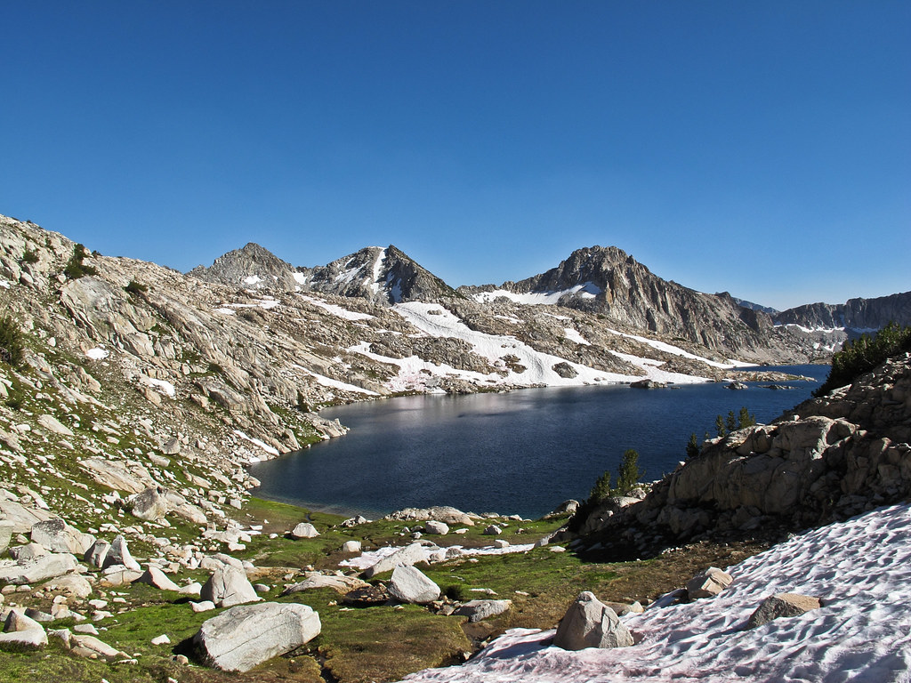
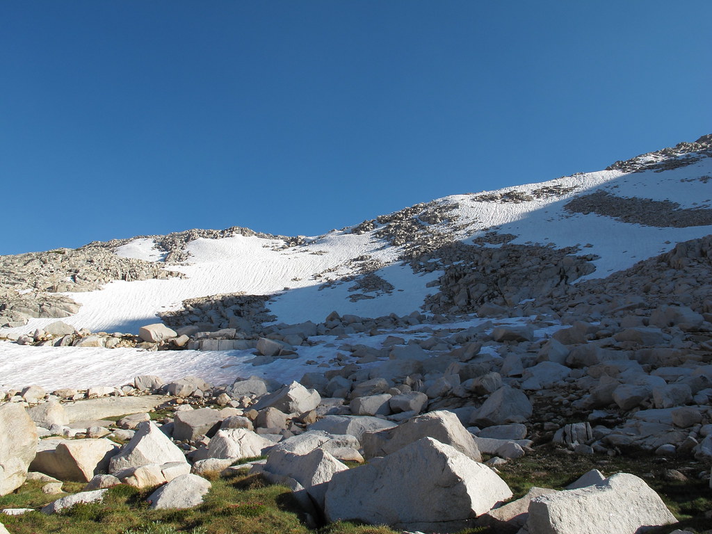
ROUTE DESCRIPTION: Cross Bighorn Lake on it's Eastern shore and begin up gentle grass and granite ramps to the top. The Pass had allot of snow when I did it so I cannot offer an over view of the conditions without it. I angled to the left and navigated down tedious talus to the bottom.
Having just crossed from N to S (in reverse of this description), I'd like to add a few notes. The reason one climbs above the eastern shore of Bighorn L. and traverses benches up to the pass is that there are cliffs that block one's path around either shore of the lake. This is important for folks to realize when going N to S. When I crossed this pass, I had not read this description (which is much better and more detailed than the brief description in Secor). It is very easy to descend due south from the pass to the N shore of Bighorn L. but then one would be stuck trying to get to the outlet (S) side. I realized this after I had descended a smidge south from the pass then quickly retrofitted to an eastward traverse that got me efficiently down to the outlet side of the lake.