Reinstein Pass
Posted: Thu Nov 01, 2012 4:06 pm
TITLE: Reinstein Pass
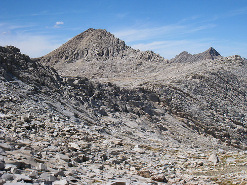
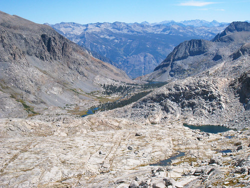
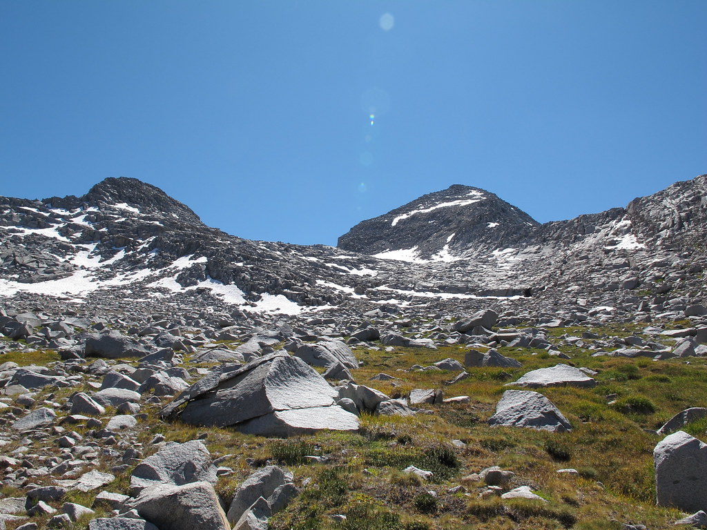
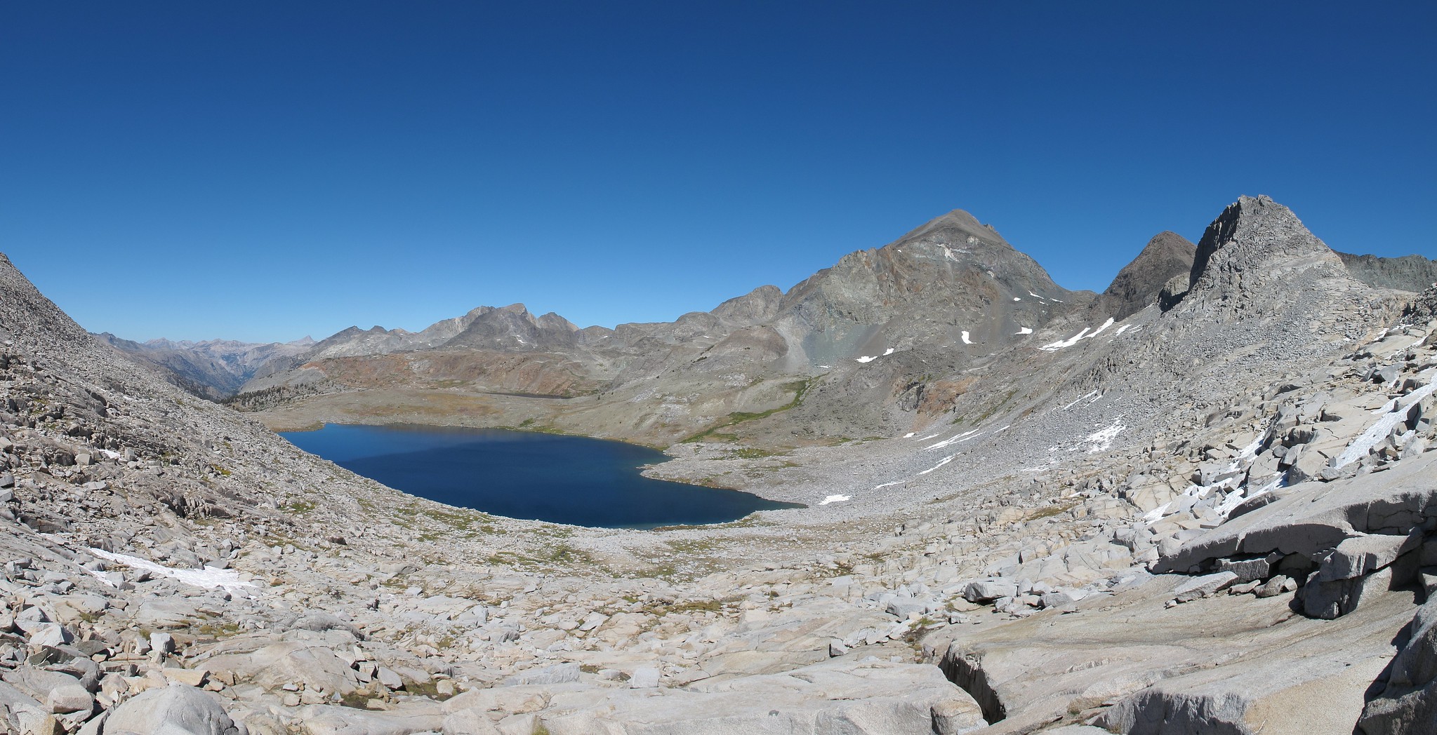
GENERAL OVERVIEW: This pass leads between upper Goddard Canyon and Martha Lake to the Goddard Creek drainage.
CLASS/DIFFICULTY: Class 2-3
LOCATION: Kings Canyon National Park directly down the NE slope of Mt. Reintein. HST Map
ELEVATION: 11,900
USGS TOPO MAP (7.5'): Mt. Goddard
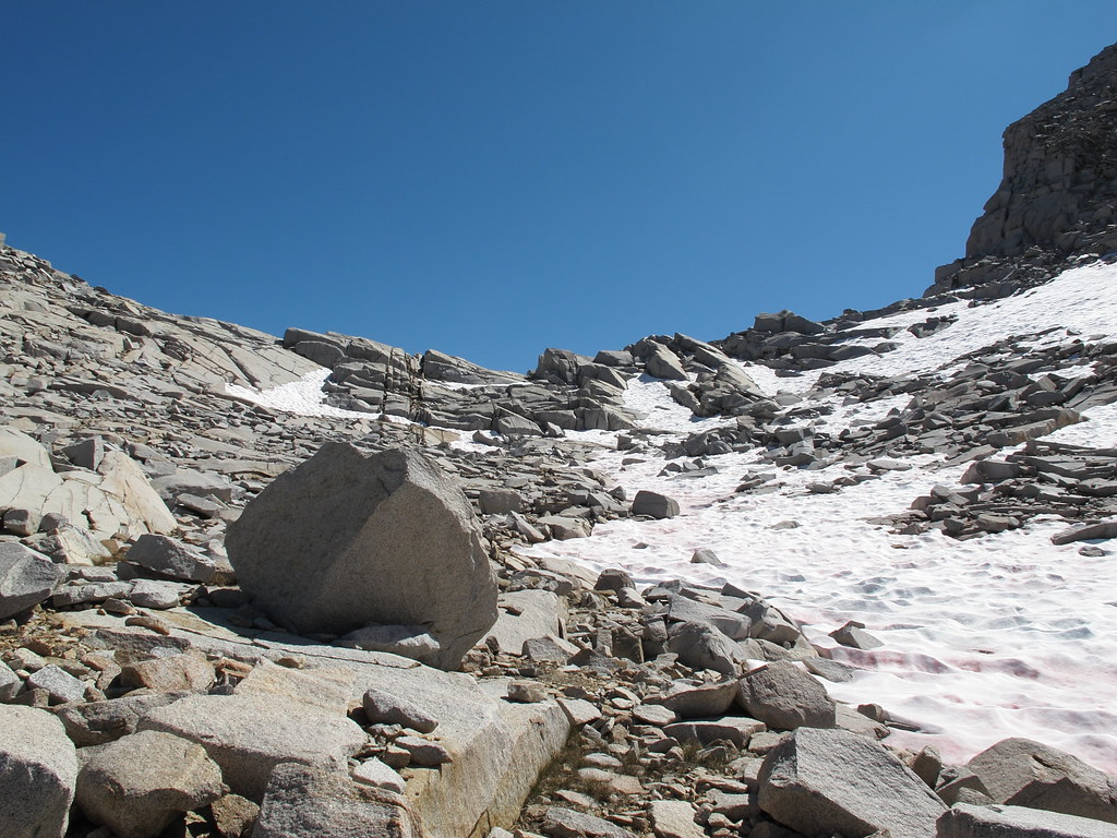
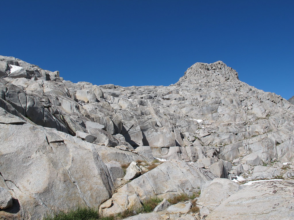
ROUTE DESCRIPTION: From Martha Lake you can go around either shore line. Begin up grassy slopes covered in boulders aiming for Mt. Reinstein. When you reach intermixed granite slabs many easy routes show themselves. From here begin angling up towards the pass picking your way as you go. The descent on the Southern side is a mix of very large slabs and boulders. Due to the nature of the pass a detailed route cannot be given yet it is difficult to remain on class 2 rock. You will probably have a few class 3 moves.


GENERAL OVERVIEW: This pass leads between upper Goddard Canyon and Martha Lake to the Goddard Creek drainage.
CLASS/DIFFICULTY: Class 2-3
LOCATION: Kings Canyon National Park directly down the NE slope of Mt. Reintein. HST Map
ELEVATION: 11,900
USGS TOPO MAP (7.5'): Mt. Goddard
ROUTE DESCRIPTION: From Martha Lake you can go around either shore line. Begin up grassy slopes covered in boulders aiming for Mt. Reinstein. When you reach intermixed granite slabs many easy routes show themselves. From here begin angling up towards the pass picking your way as you go. The descent on the Southern side is a mix of very large slabs and boulders. Due to the nature of the pass a detailed route cannot be given yet it is difficult to remain on class 2 rock. You will probably have a few class 3 moves.