White Fork Pass
Posted: Fri Oct 26, 2012 3:14 pm
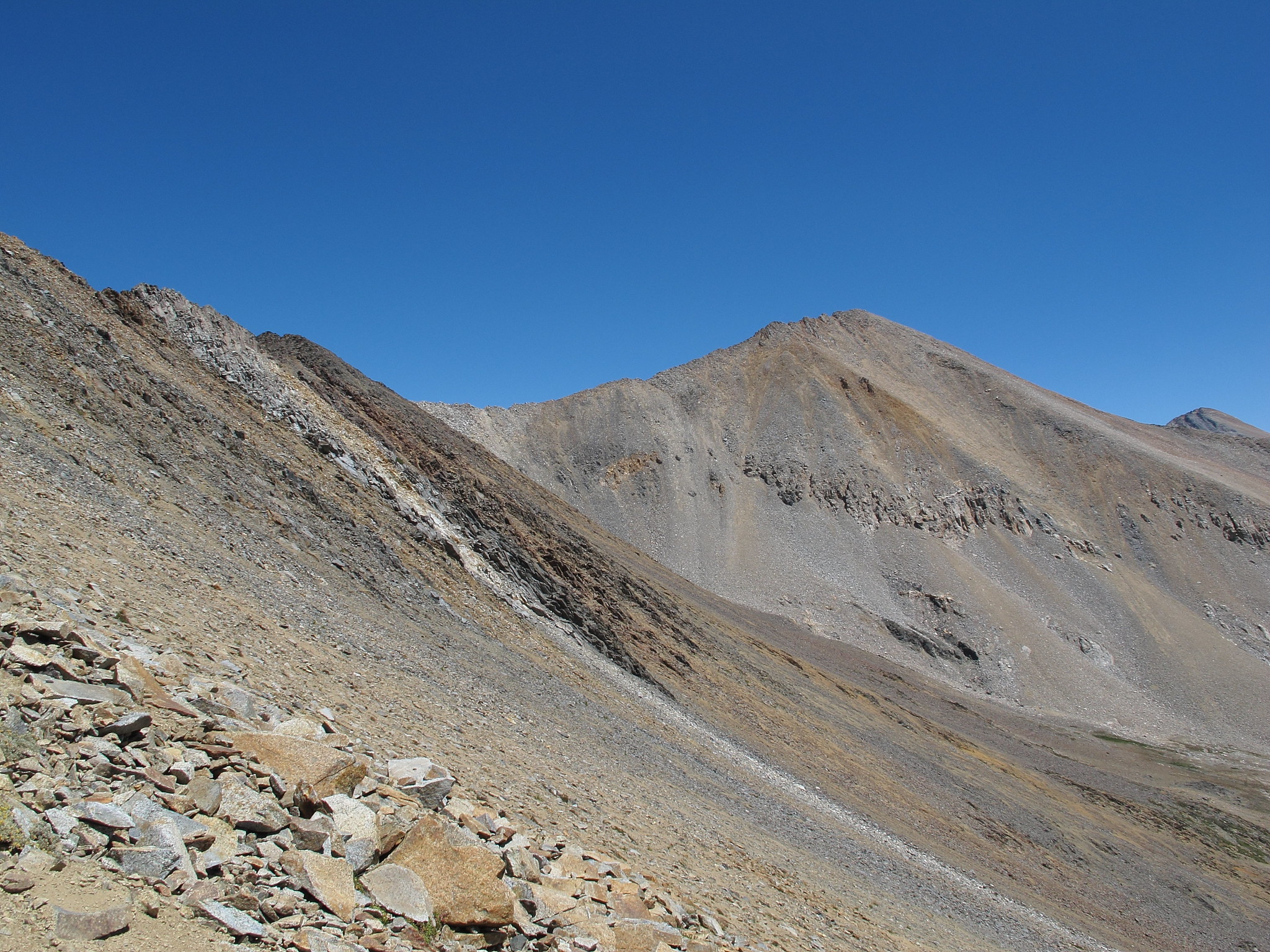
After looking at a couple sources this pass seems to be placed at the Northern end of the ridge it crosses yet I crossed at the Southern end before the slope begins up to peak 12,766. Looking back and at photos of the area I personally think the best place to cross is at the Southern end. This will also give you easy access to or from White Fork Saddle. It is however possible to cross either so use your own judgement.
TITLE: White Fork Pass
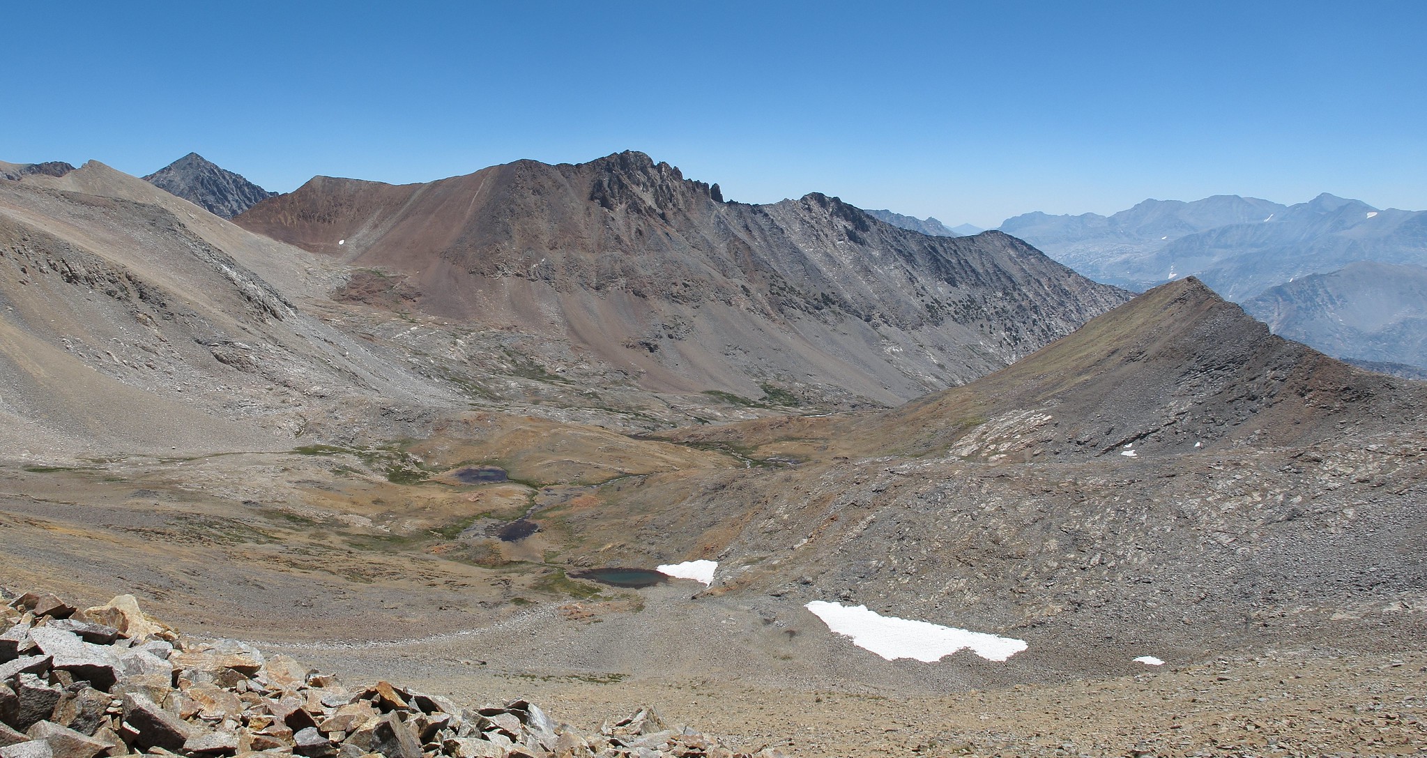
GENERAL OVERVIEW: This pass leads between the upper White Fork Drainage and the drainage East of Arrow Peak.
CLASS/DIFFICULTY: Class 2
LOCATION: Kings Canyon National Park East of Arrow Peak South West of Mt. Ickes. HST Map
ELEVATION: 12,300
USGS TOPO MAP (7.5'): Mt. Pinchot
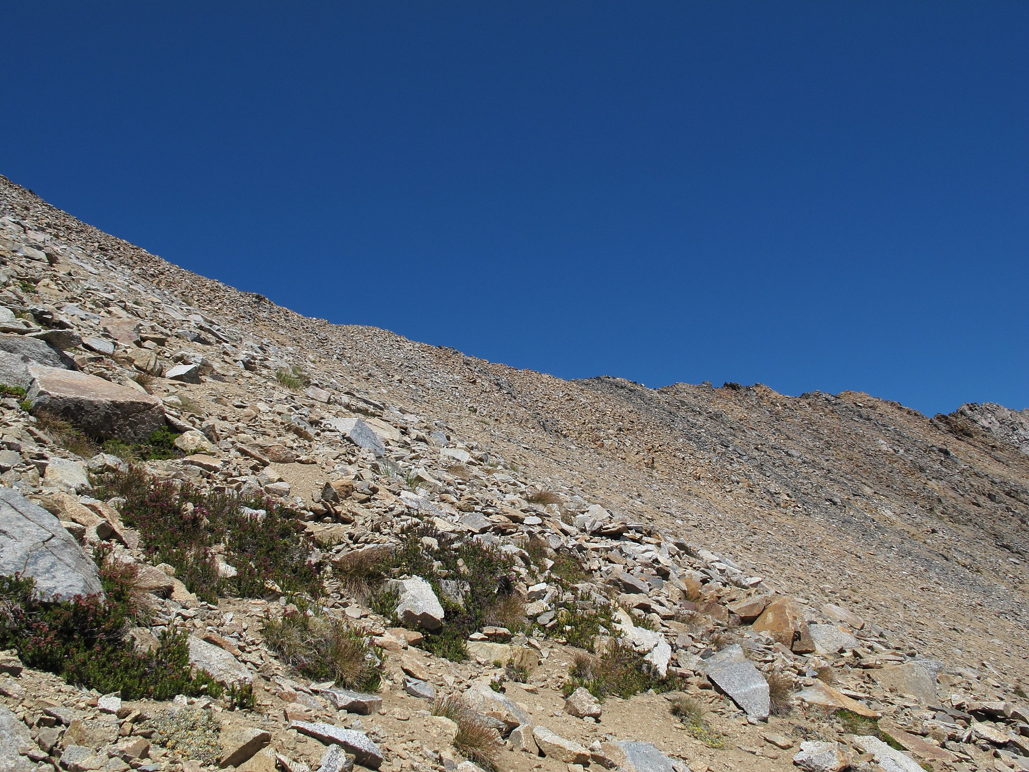
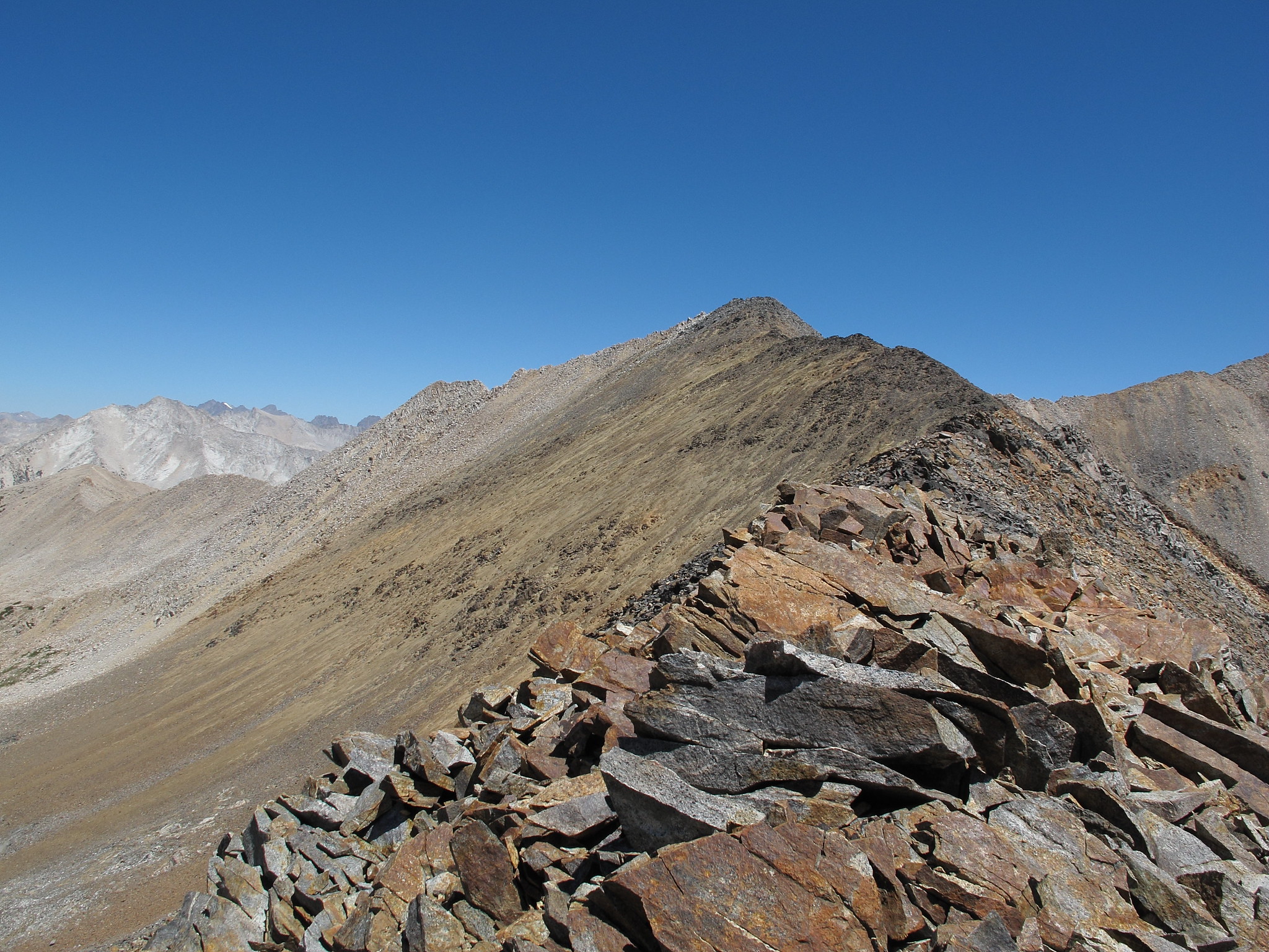
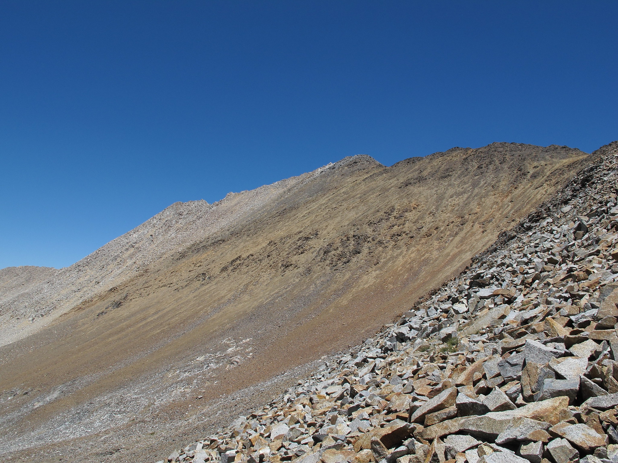
ROUTE DESCRIPTION: Both sides of the pass are tedious small talus that requires a bit of caution on the descent yet no difficult sections are encountered. If traveling East and your headed for White Fork Saddle it's easiest to angle South East over the ridge coming down from Peak 12,064. This will allow you to lose a minimum of altitude.


TITLE: White Fork Pass
GENERAL OVERVIEW: This pass leads between the upper White Fork Drainage and the drainage East of Arrow Peak.
CLASS/DIFFICULTY: Class 2
LOCATION: Kings Canyon National Park East of Arrow Peak South West of Mt. Ickes. HST Map
ELEVATION: 12,300
USGS TOPO MAP (7.5'): Mt. Pinchot
ROUTE DESCRIPTION: Both sides of the pass are tedious small talus that requires a bit of caution on the descent yet no difficult sections are encountered. If traveling East and your headed for White Fork Saddle it's easiest to angle South East over the ridge coming down from Peak 12,064. This will allow you to lose a minimum of altitude.