Thunder Ridge Pass
Posted: Mon Oct 08, 2012 1:00 pm
TITLE: Thunder Ridge Pass
GENERAL OVERVIEW: This pass leads between Table Creek and the Southern Branch of Cunningham Creek
CLASS/DIFFICULTY: Class 2
LOCATION: Kings Canyon National Park East of Cloud Canyon on the Western Ridge of Thunder Mountain
ELEVATION: 12,020
USGS TOPO MAP (7.5'): Mt. Brewer HST Map
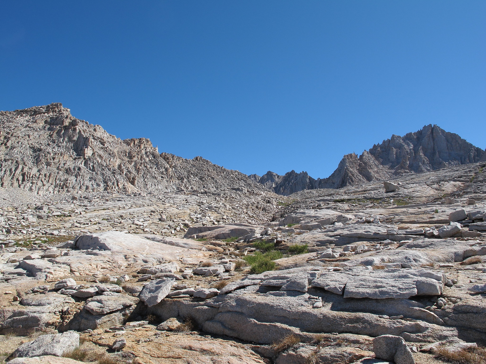
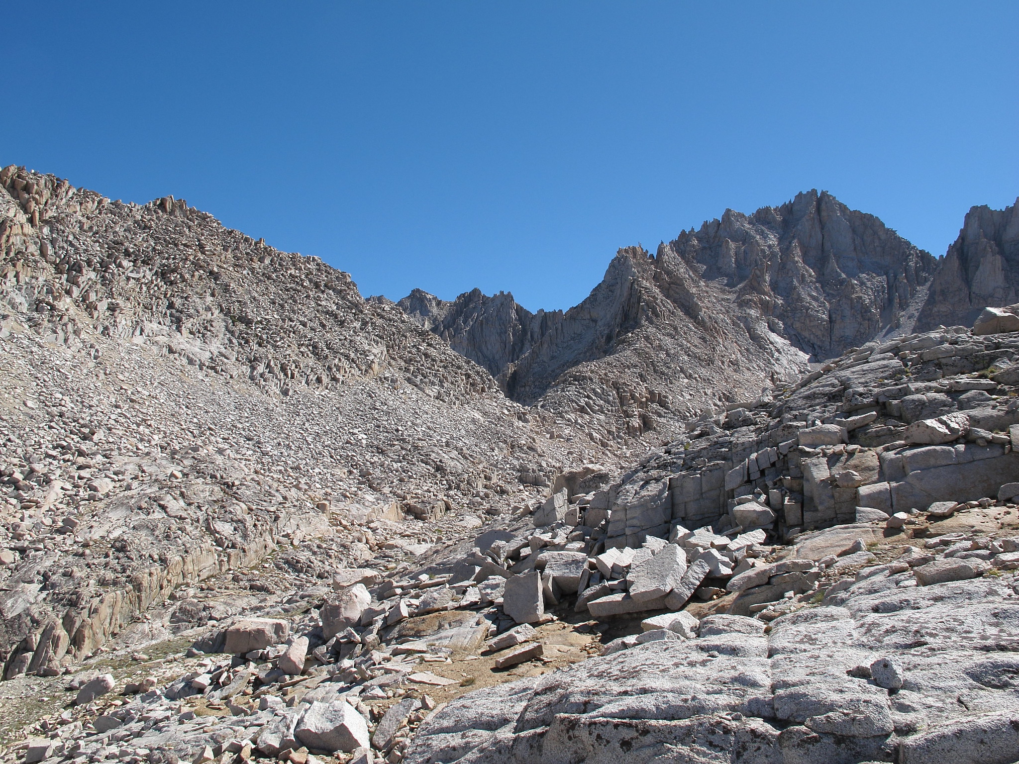
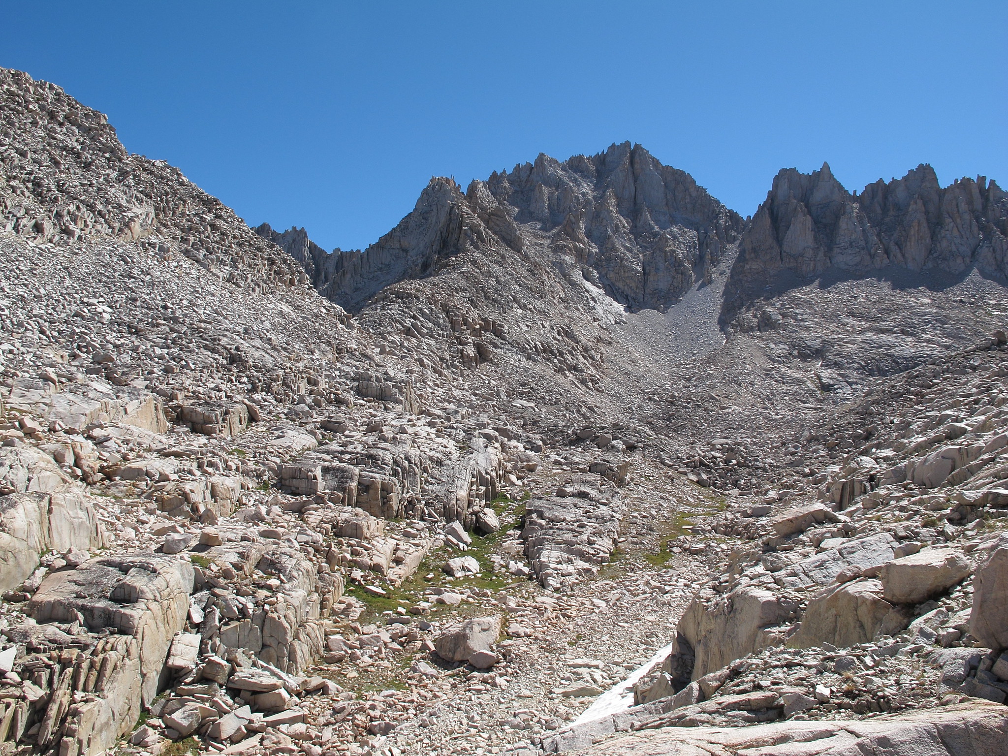
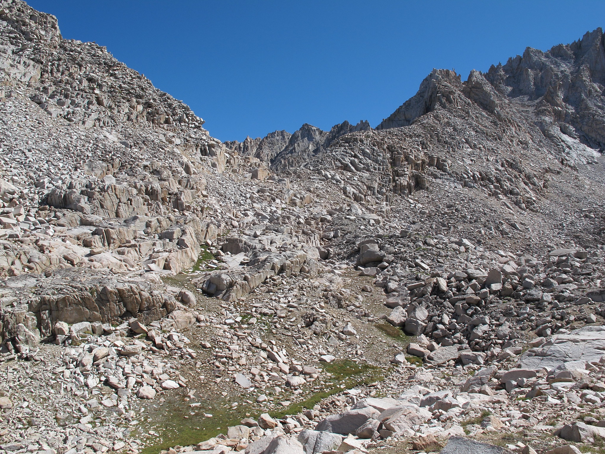
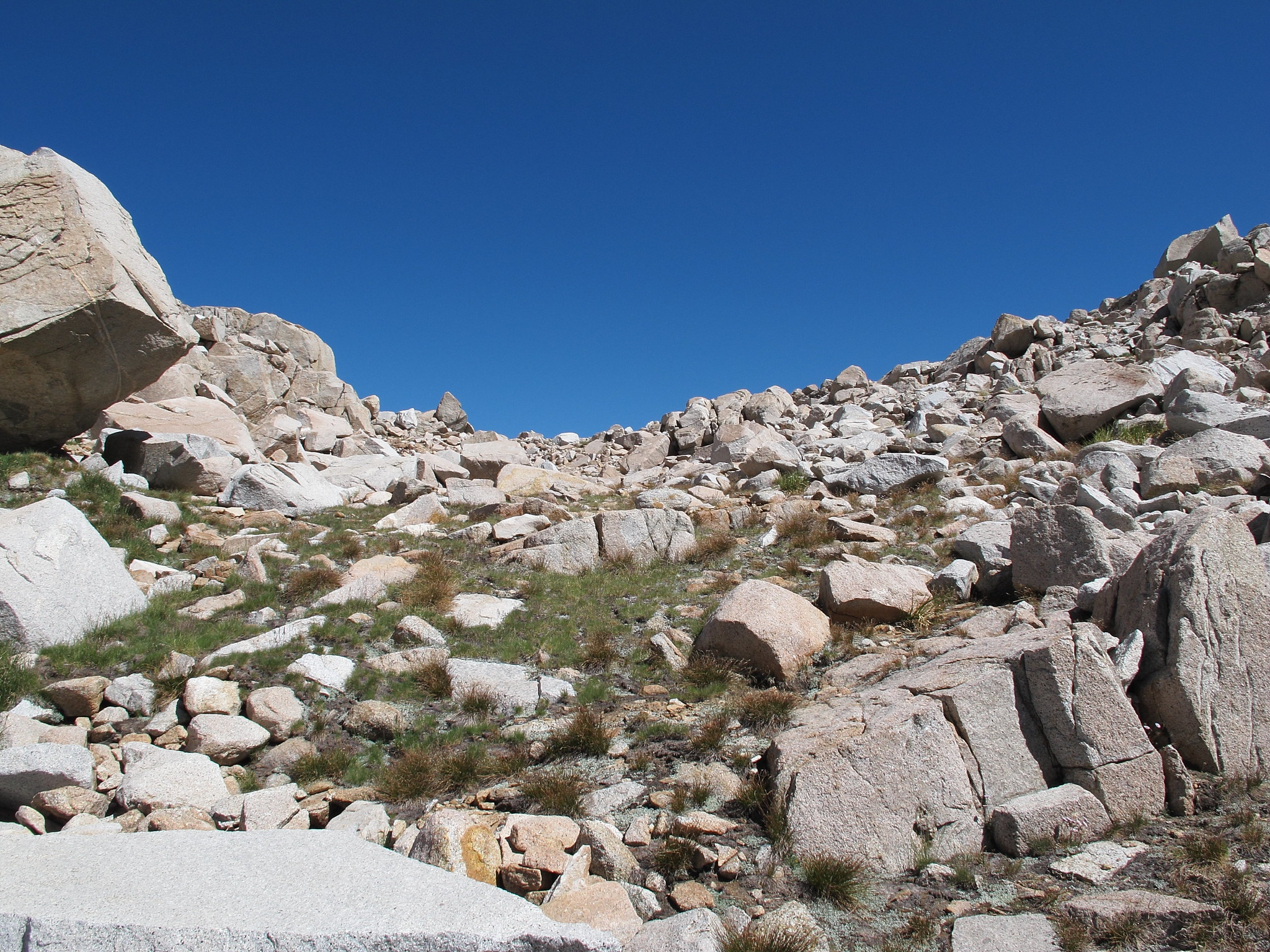
ROUTE DESCRIPTION: From it's Southern side you will wind your way up easy granite slabs and grass ramps. As your getting closer to the pass a carved out section of terrain like a small valley will be to the left. It's best to enter this early since if you don't you get trapped up higher with no easy way down. Once at the base it's easy grass ramps and talus to the top.
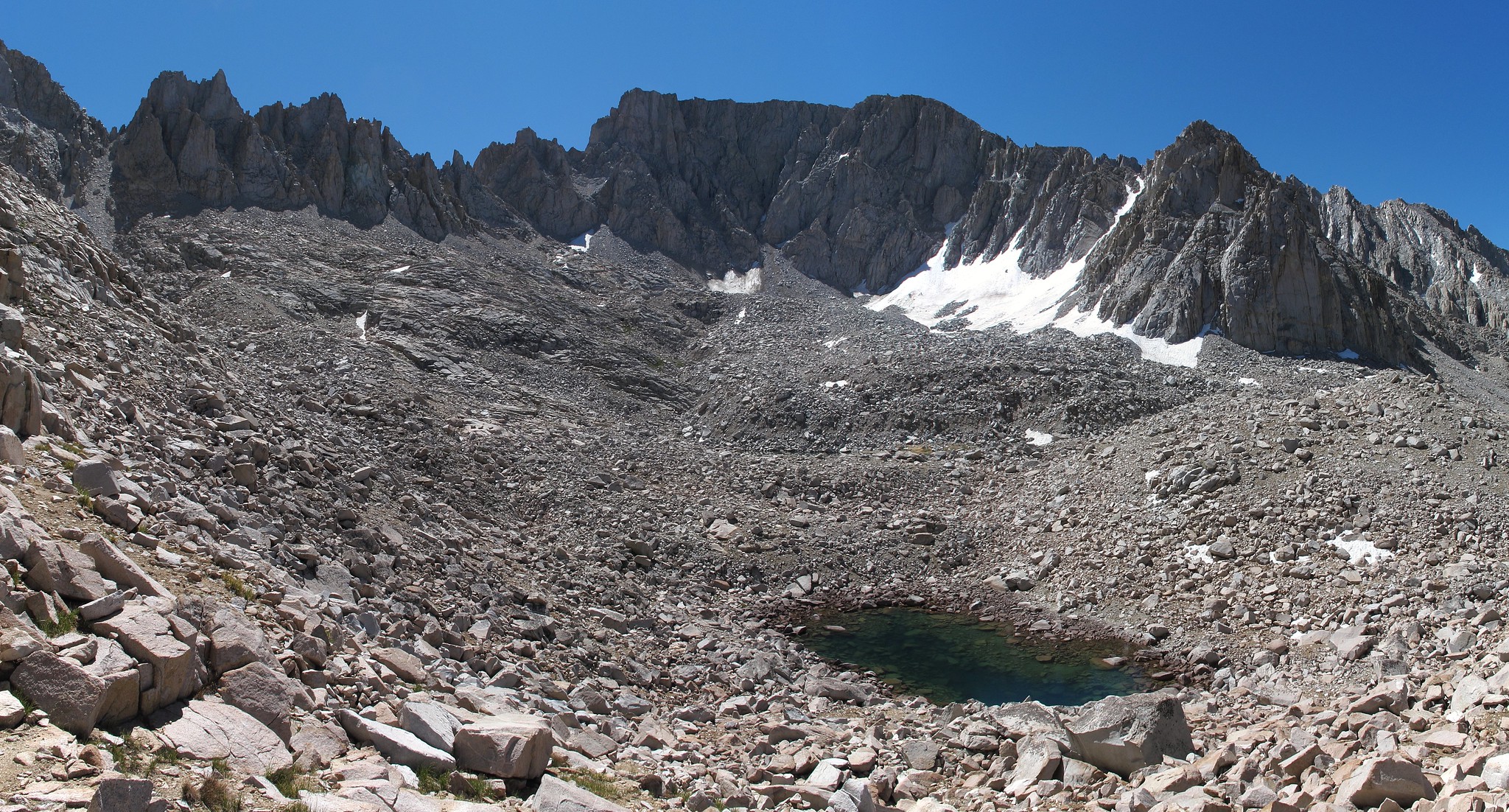
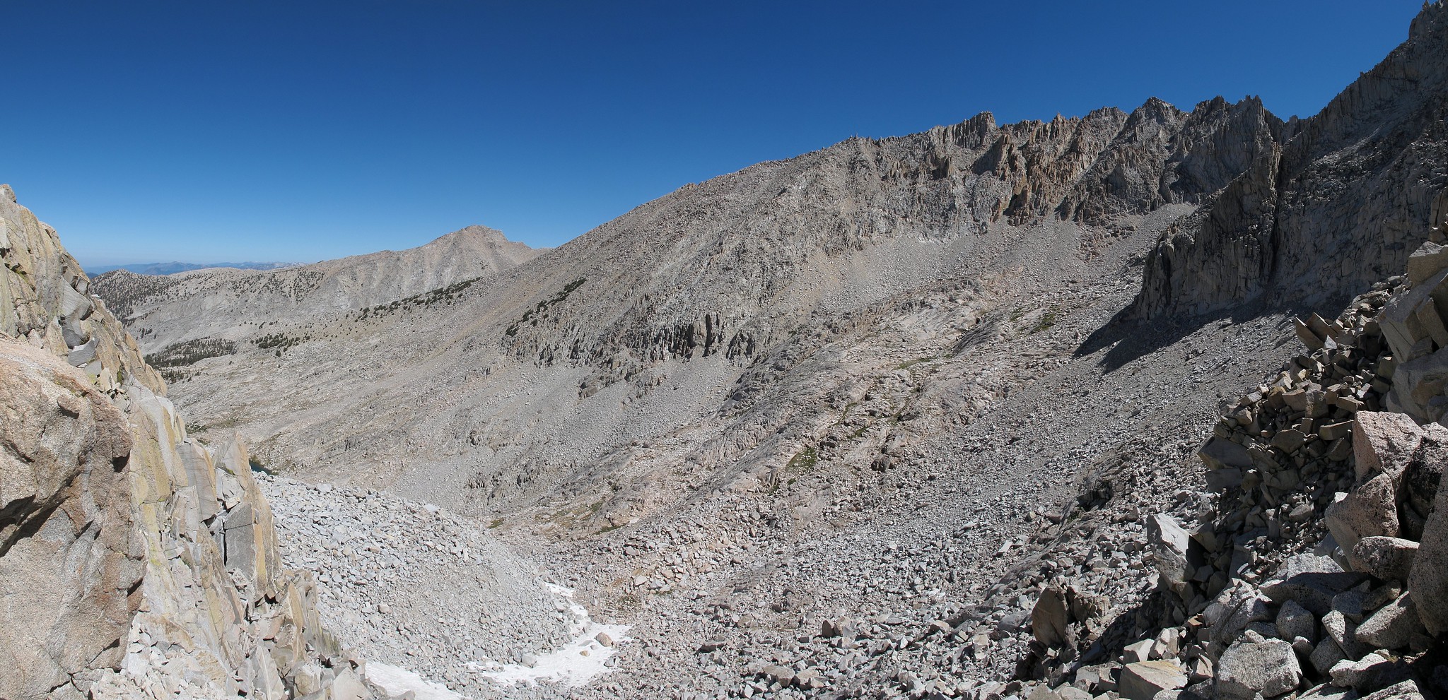
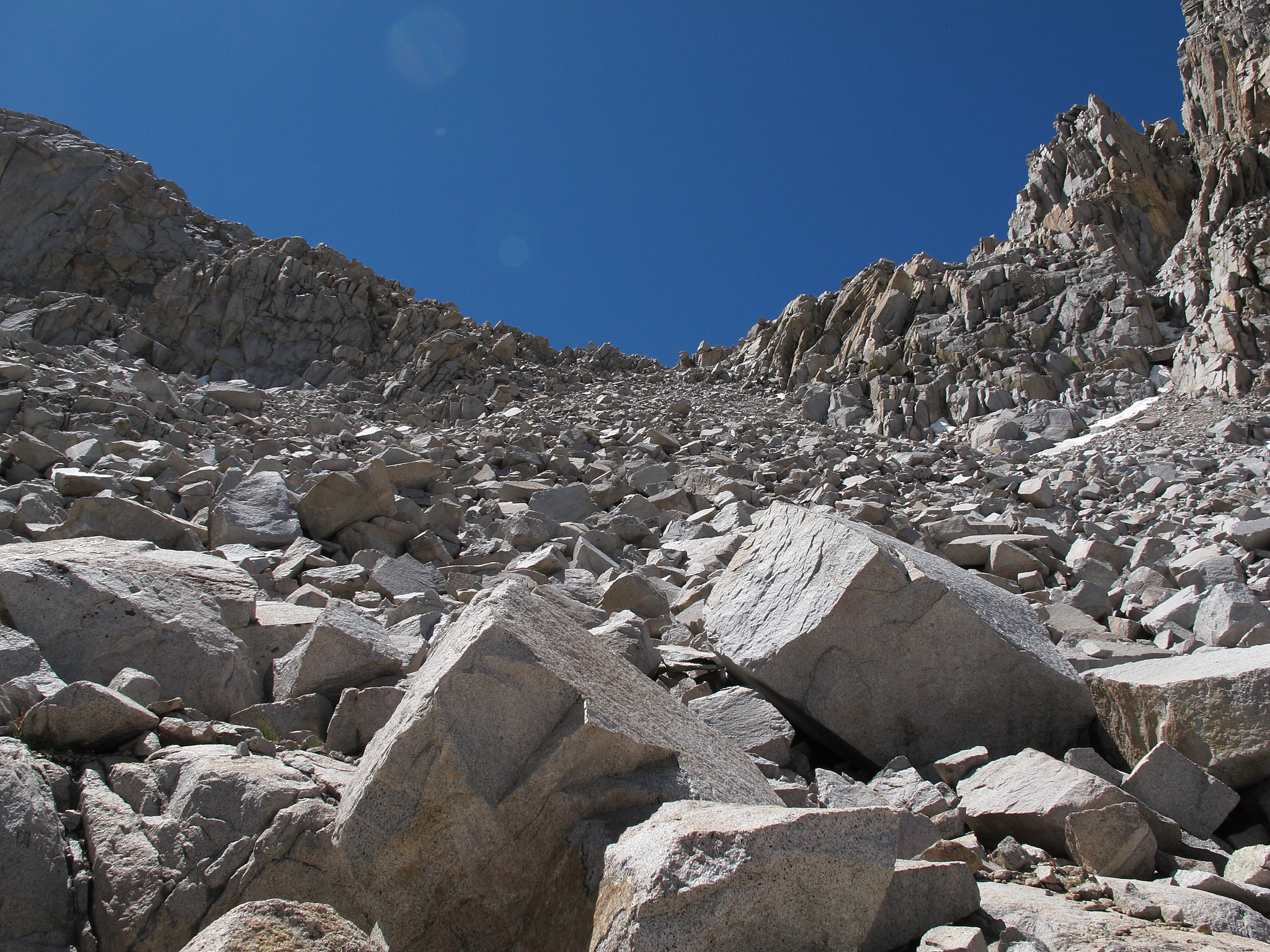
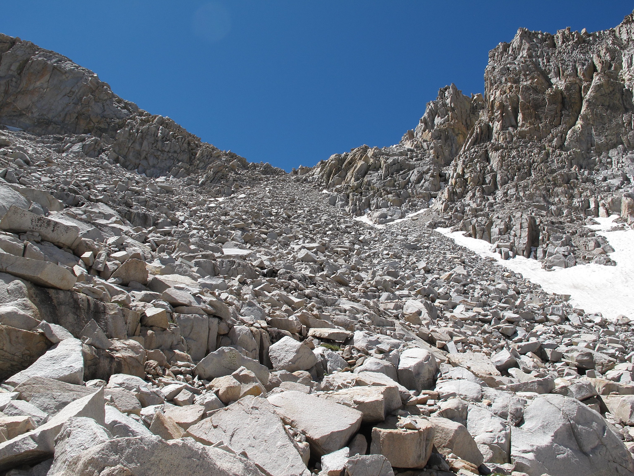
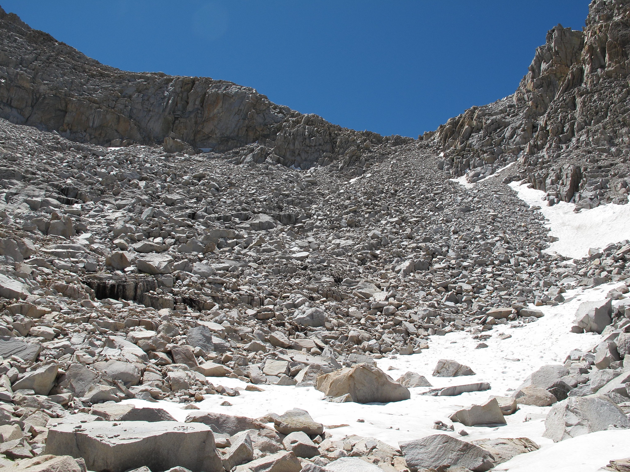
The Northern side of this pass is 400 feet of medium to large sized talus. Navigating this talus field is like walking through a haunted house waiting to be assaulted by a ghost. The talus is the perfect mix of completely stable and unstable. Your left feeling like at any moment with each step your about to be killed by a large block. I was injured once resulting in a bashed knee, sprained ankle and more cuts here and there. I also had a 1000 pound boulder take off smashing down the hill. To sum it up no route finding is necessary but extreme caution should be exercised at all times.
When you are at the bottom and begin towards the lakes below you will need to hook far right to avoid cliffs.

GENERAL OVERVIEW: This pass leads between Table Creek and the Southern Branch of Cunningham Creek
CLASS/DIFFICULTY: Class 2
LOCATION: Kings Canyon National Park East of Cloud Canyon on the Western Ridge of Thunder Mountain
ELEVATION: 12,020
USGS TOPO MAP (7.5'): Mt. Brewer HST Map
ROUTE DESCRIPTION: From it's Southern side you will wind your way up easy granite slabs and grass ramps. As your getting closer to the pass a carved out section of terrain like a small valley will be to the left. It's best to enter this early since if you don't you get trapped up higher with no easy way down. Once at the base it's easy grass ramps and talus to the top.
The Northern side of this pass is 400 feet of medium to large sized talus. Navigating this talus field is like walking through a haunted house waiting to be assaulted by a ghost. The talus is the perfect mix of completely stable and unstable. Your left feeling like at any moment with each step your about to be killed by a large block. I was injured once resulting in a bashed knee, sprained ankle and more cuts here and there. I also had a 1000 pound boulder take off smashing down the hill. To sum it up no route finding is necessary but extreme caution should be exercised at all times.
When you are at the bottom and begin towards the lakes below you will need to hook far right to avoid cliffs.