Pterodactyl Pass
Posted: Sat Oct 06, 2012 2:44 pm
TITLE: Pterodactyl Pass also sometimes called Lightning Pass
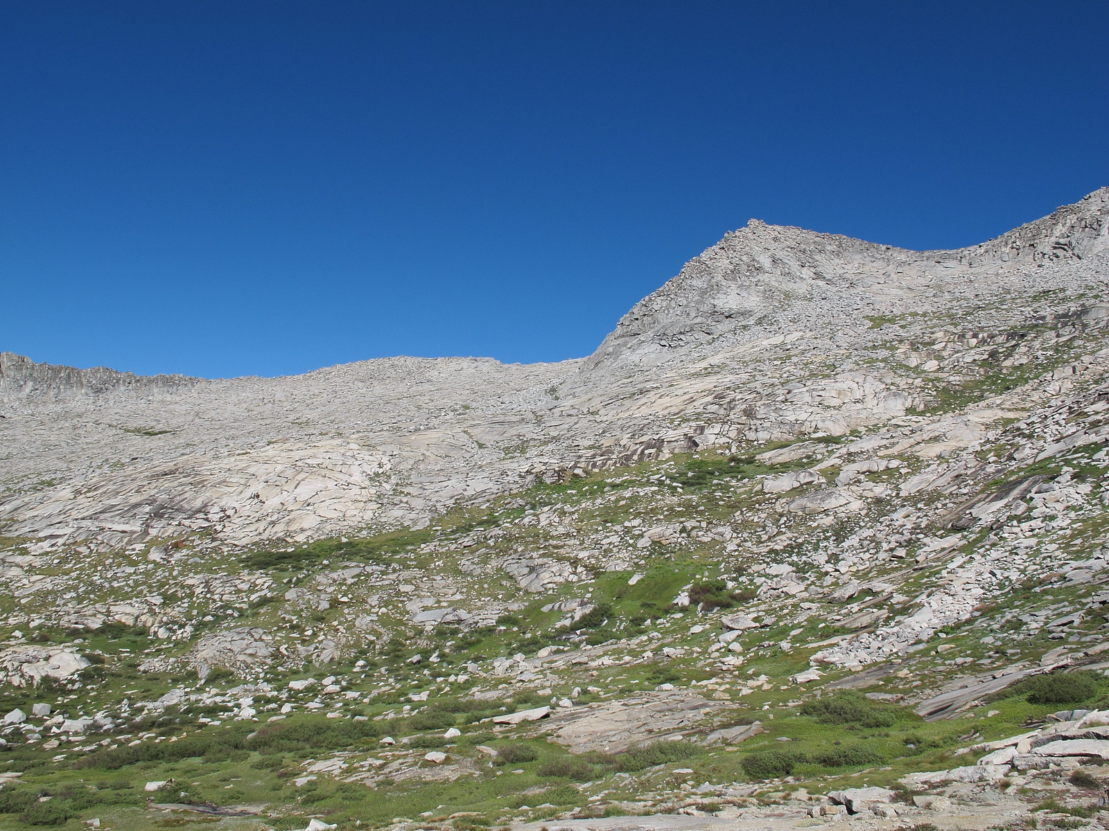
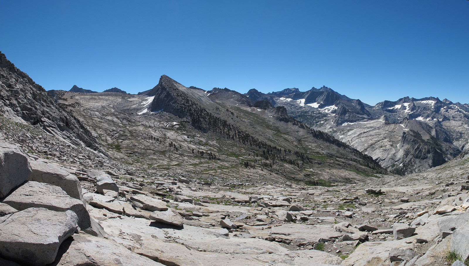
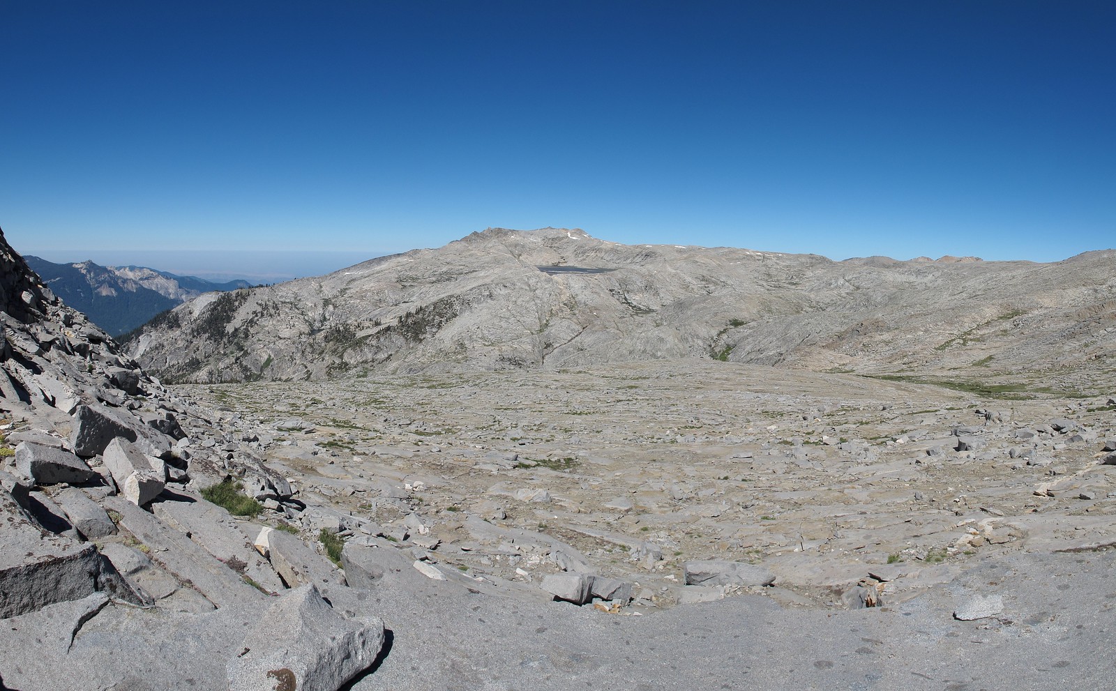
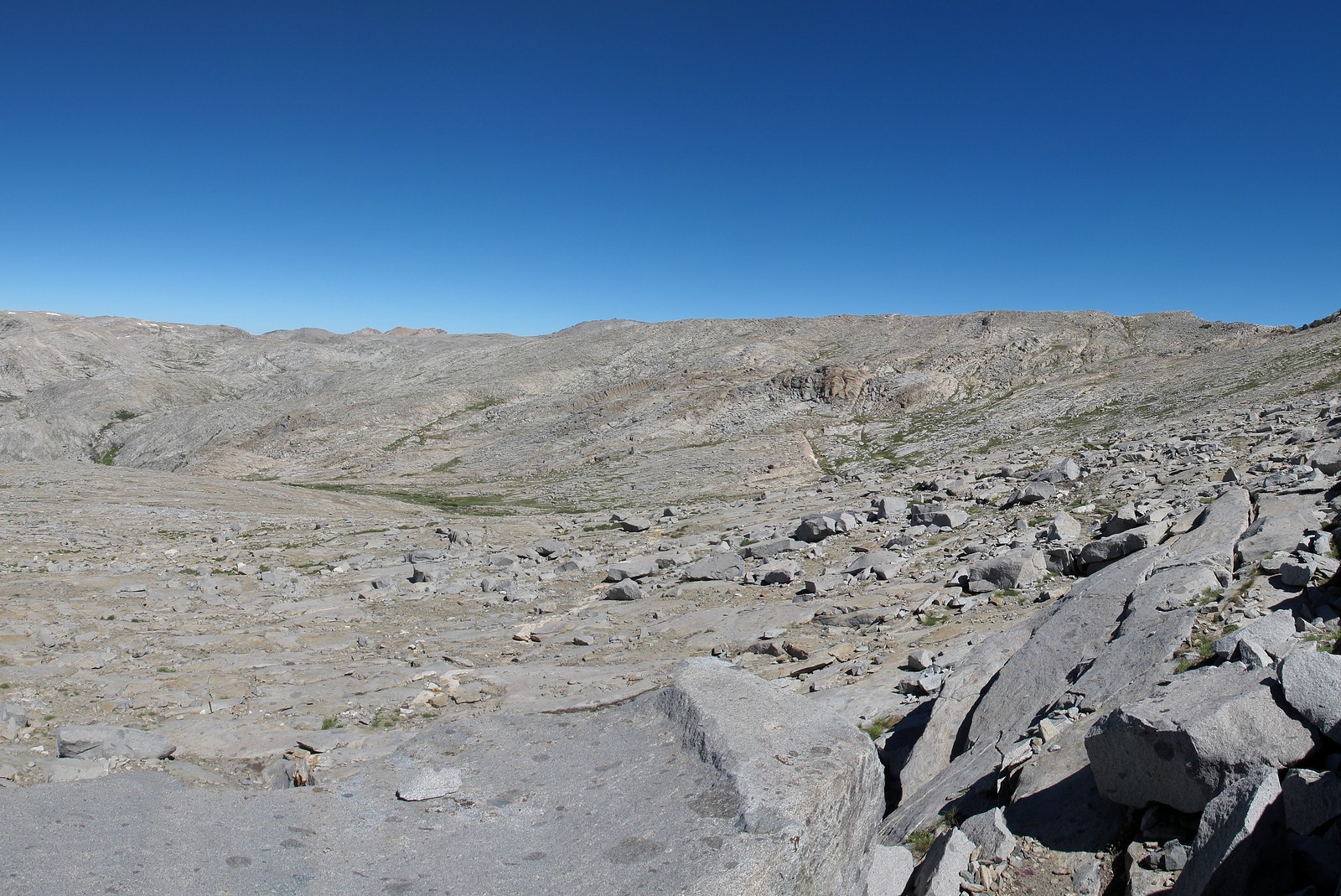
GENERAL OVERVIEW: This pass leads between one of the upper Lone Pine Creek drainages near Lonely Lake and the headwalls of Buck Canyon and the Table Lands.
CLASS/DIFFICULTY: Class 1-2
LOCATION: Sequoia National Park on the Northern ridge of Peak 11,225.
ELEVATION: 10,900
USGS TOPO MAP (7.5'): Triple Divide Peak HST Map
ROUTE DESCRIPTION: Neither side of this pass has any difficult sections. Both consist of smooth granite slabs with some intermixed talus. No talus hoping is encountered.