Member descriptions, photos, and map locations of Cross Country Passes in the High Sierra. This forum is for information only - discussions should be kept in the appropriate categories. This forum is a component of the HST Map. We need your help to complete the database, so please contribute!
TITLE: Pterodactyl Pass also sometimes called Lightning Pass
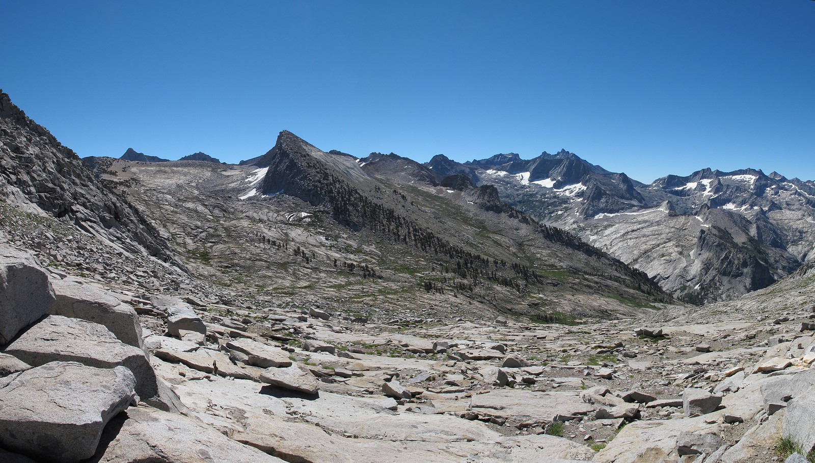
GENERAL OVERVIEW: This pass leads between one of the upper Lone Pine Creek drainages near Lonely Lake and the headwalls of Buck Canyon and the Table Lands.
CLASS/DIFFICULTY: Class 1-2
LOCATION: Sequoia National Park on the Northern ridge of Peak 11,225.
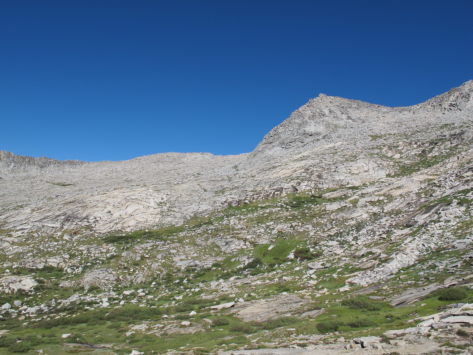
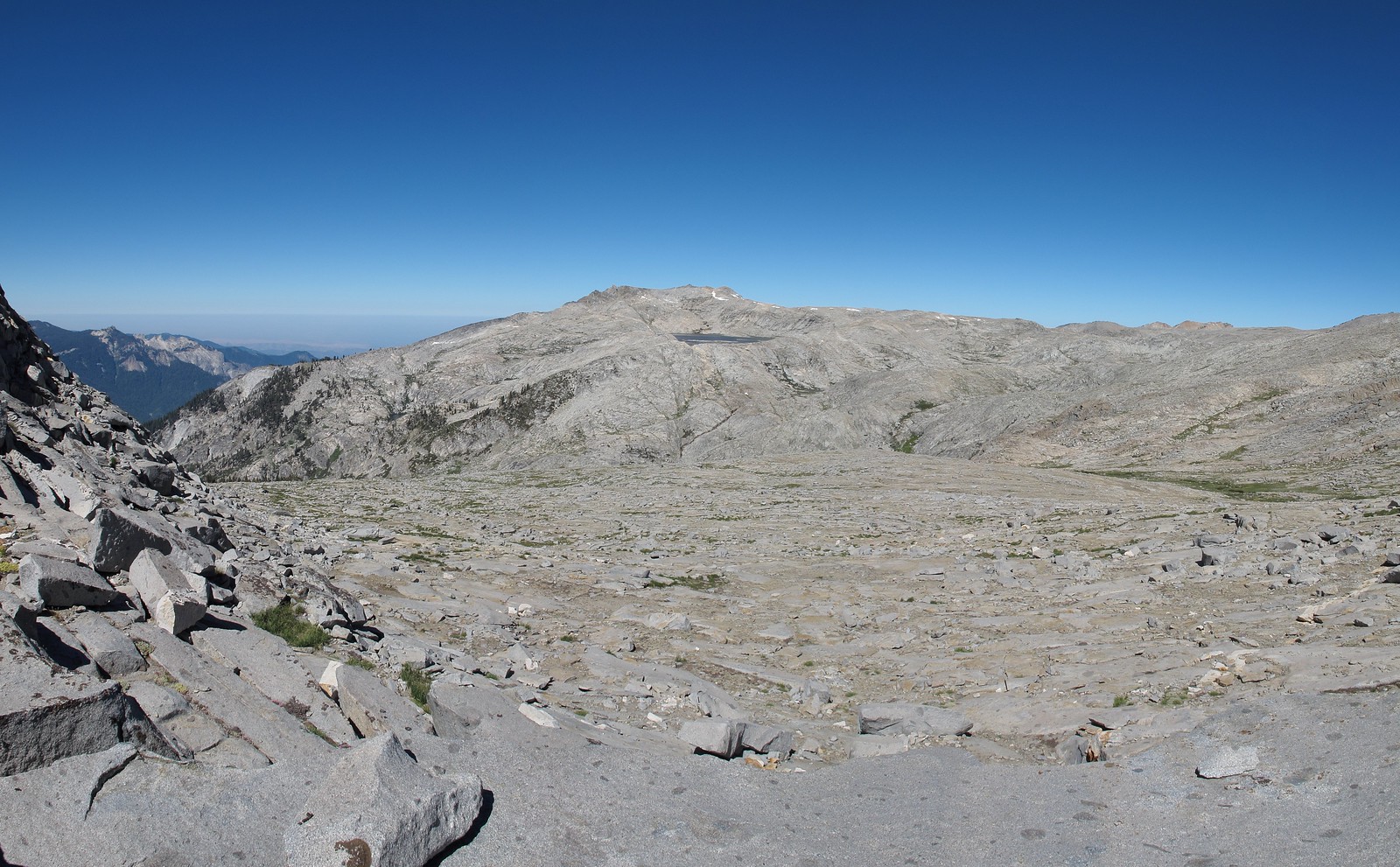
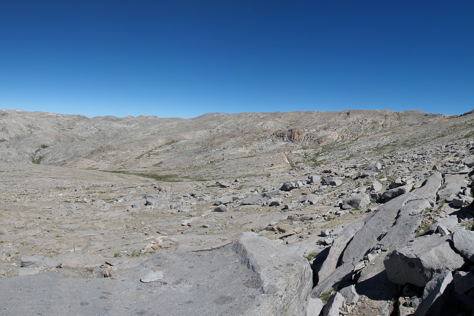
ROUTE DESCRIPTION: Neither side of this pass has any difficult sections. Both consist of smooth granite slabs with some intermixed talus. No talus hoping is encountered.