Horn Col
Posted: Thu Oct 04, 2012 2:17 pm
I have also heard this pass called Lonely Lake Pass.
I'd also like to note that some passes in the Sierra are named a Col. when in my opinion they show nothing that would define them as one. This is one of those cases.
TITLE: Horn Col
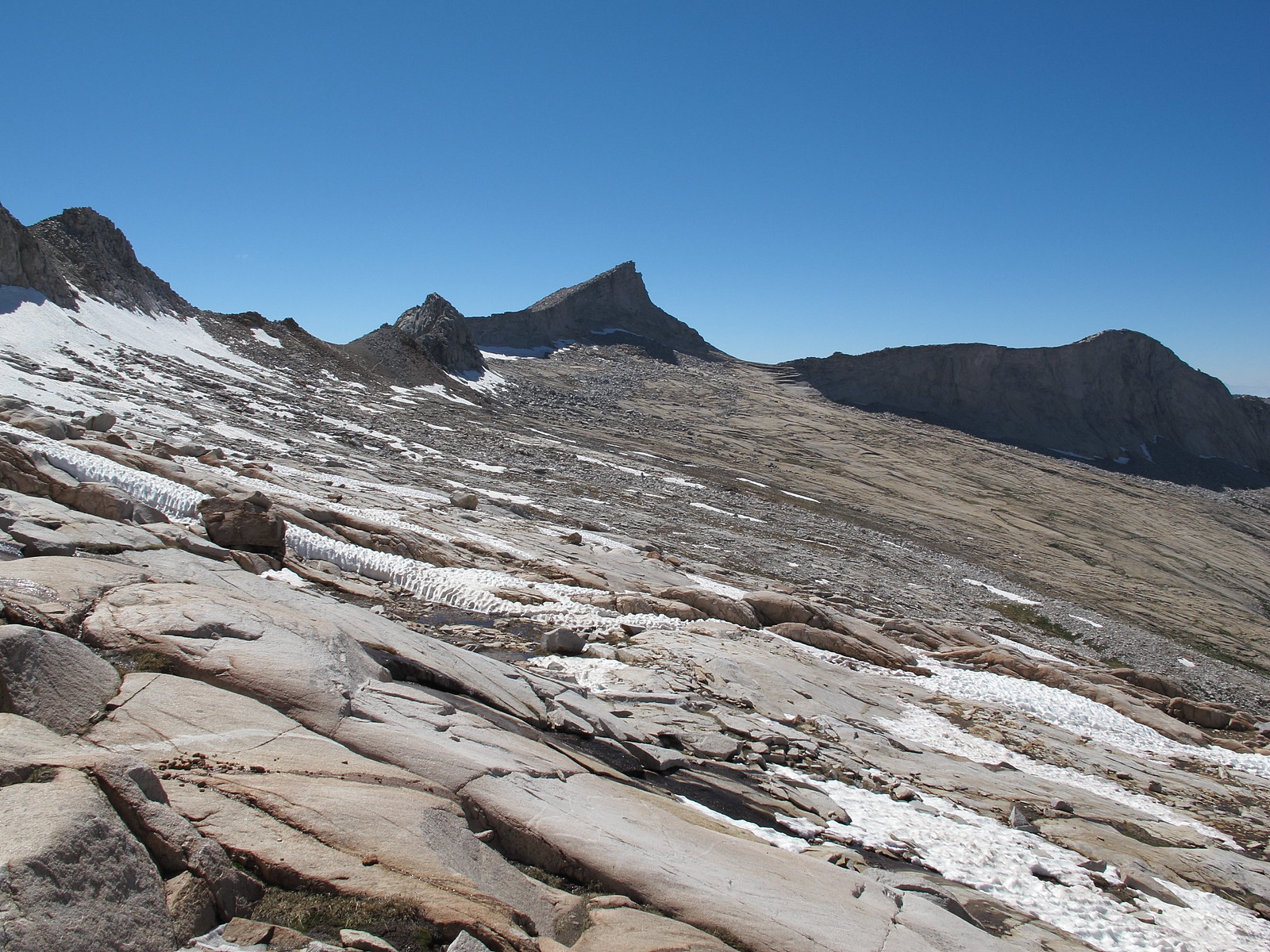
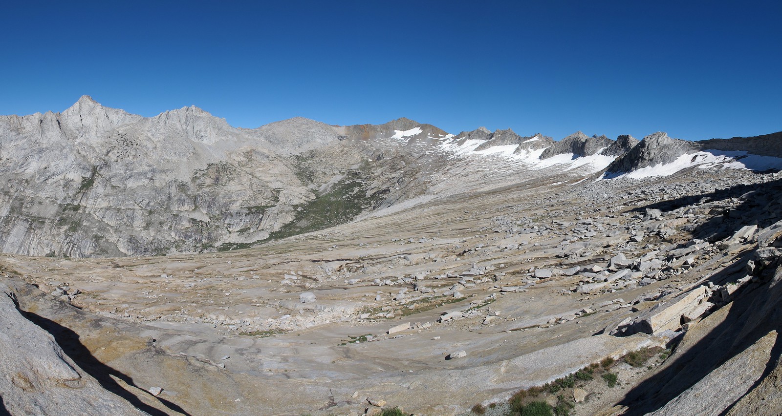
GENERAL OVERVIEW: This pass leads between Deadman Canyon and Lonely Lake at one of the upper head waters of Lone Pine Creek.
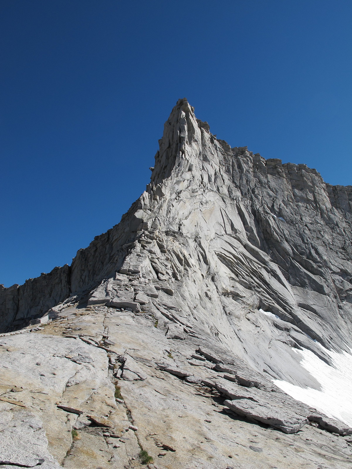
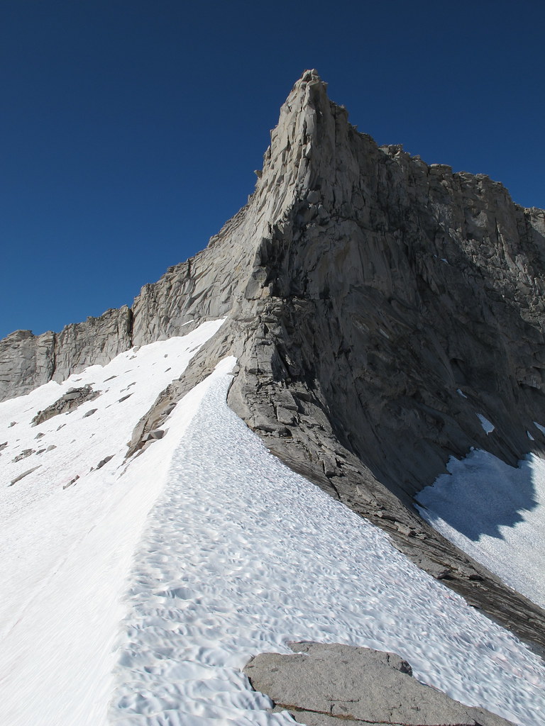
CLASS/DIFFICULTY: Class 2 / Some guides list this pass as class 1 but I cannot see any route over it that could maintain a class 1 rating.
LOCATION: This pass is the border line of Sequoia National Park and Kings Canyon National Park
ELEVATION: 11,320
USGS TOPO MAP (7.5'): Triple Divide Peak HST MAP
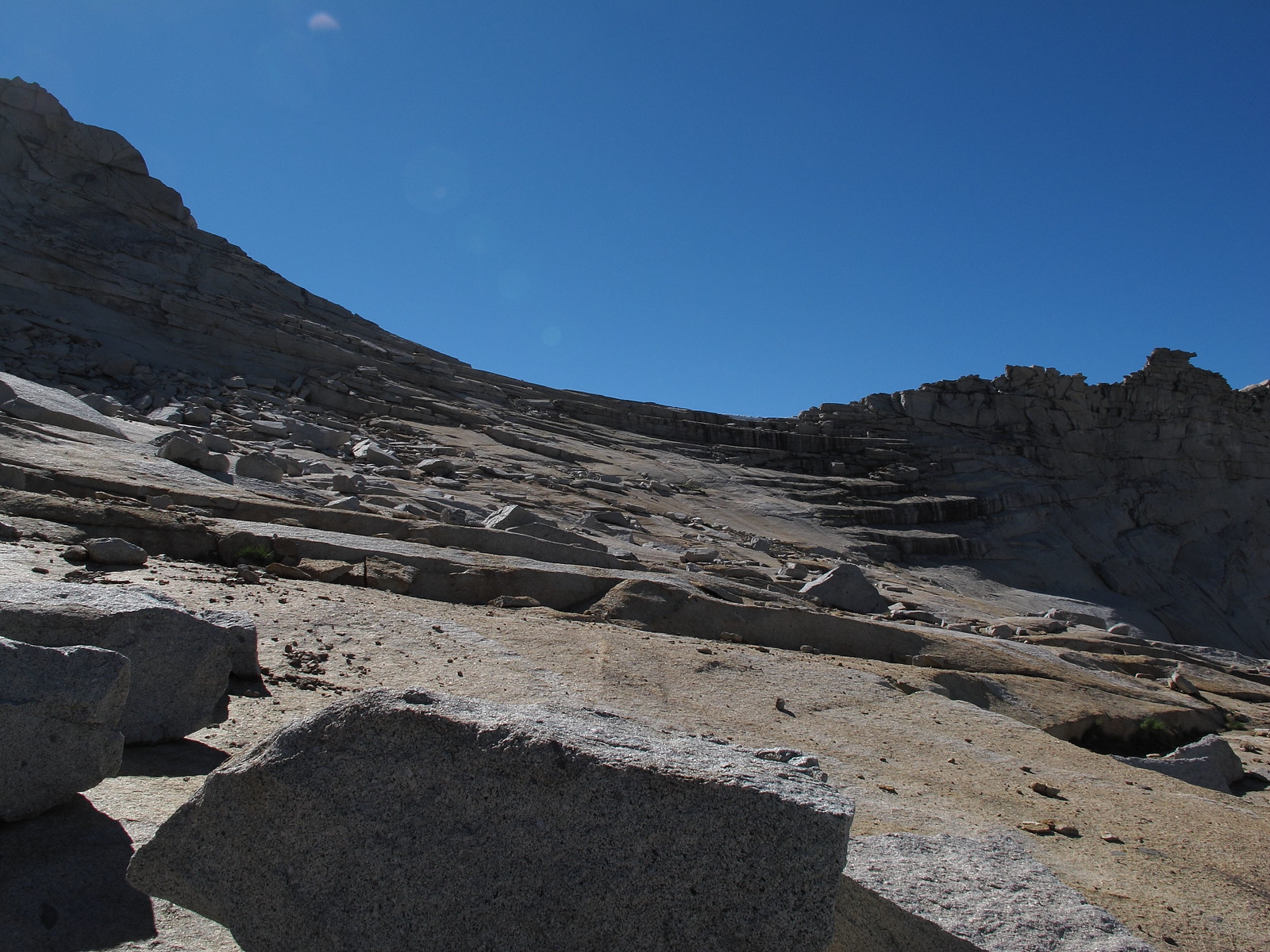
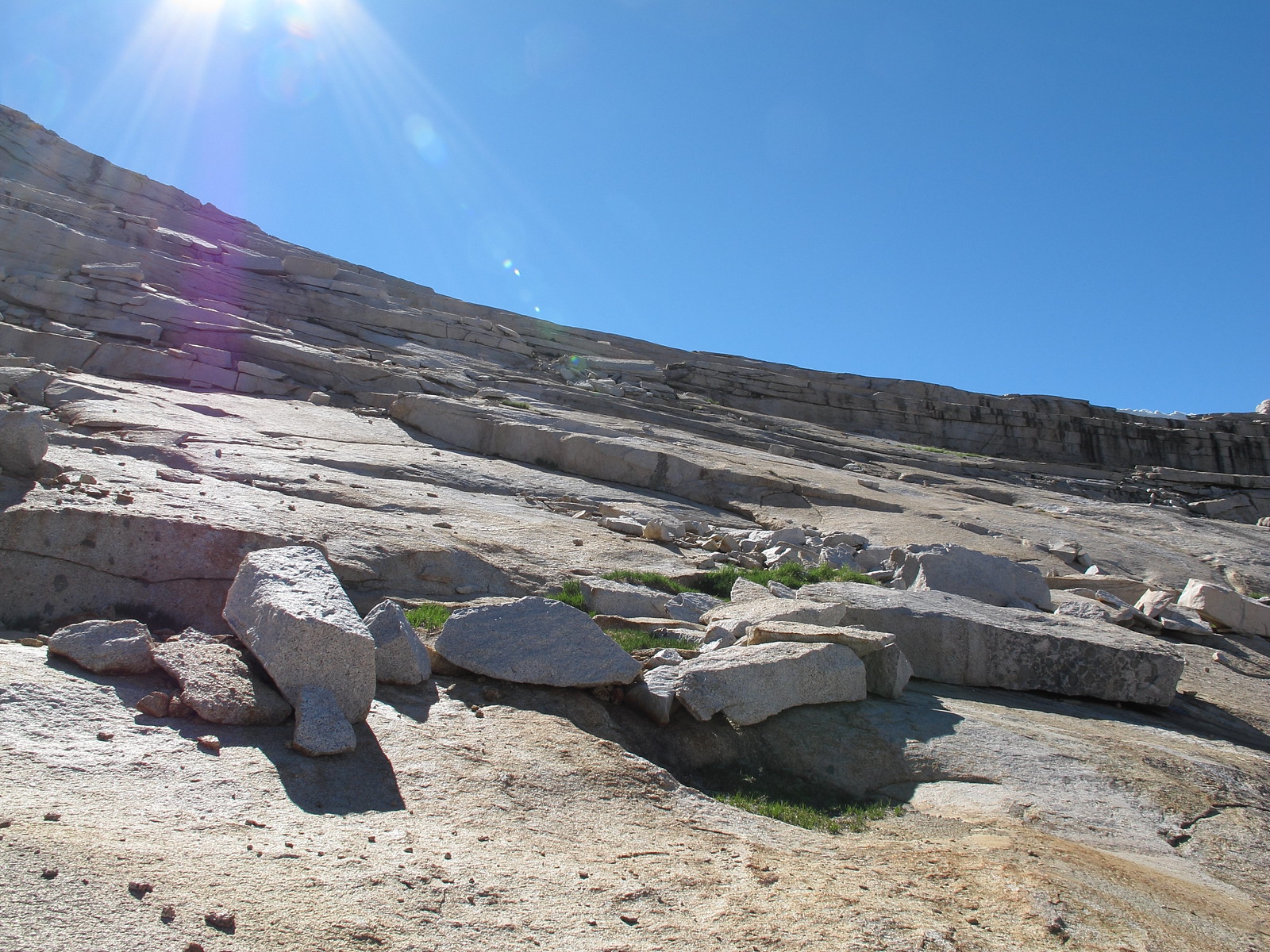
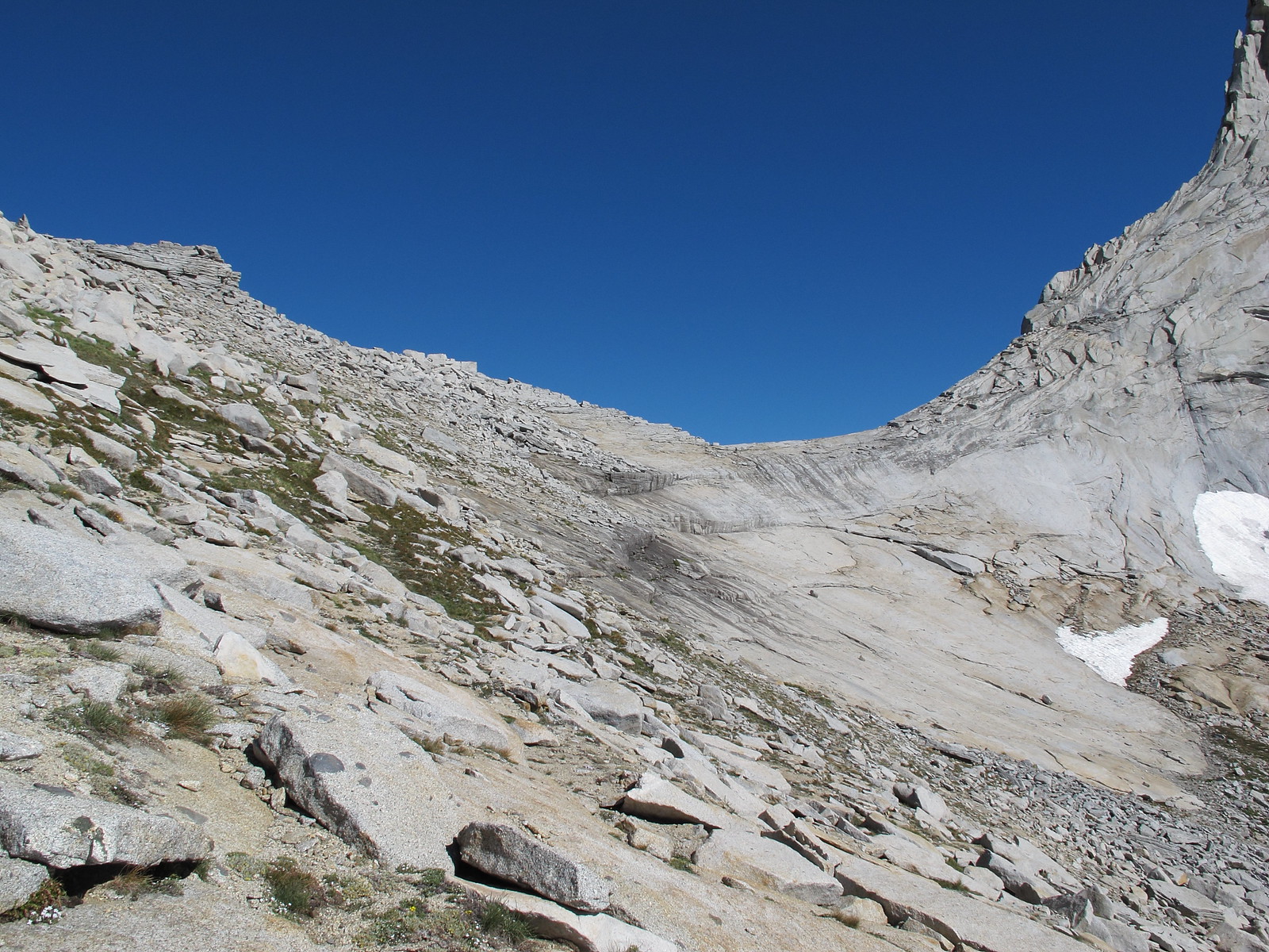
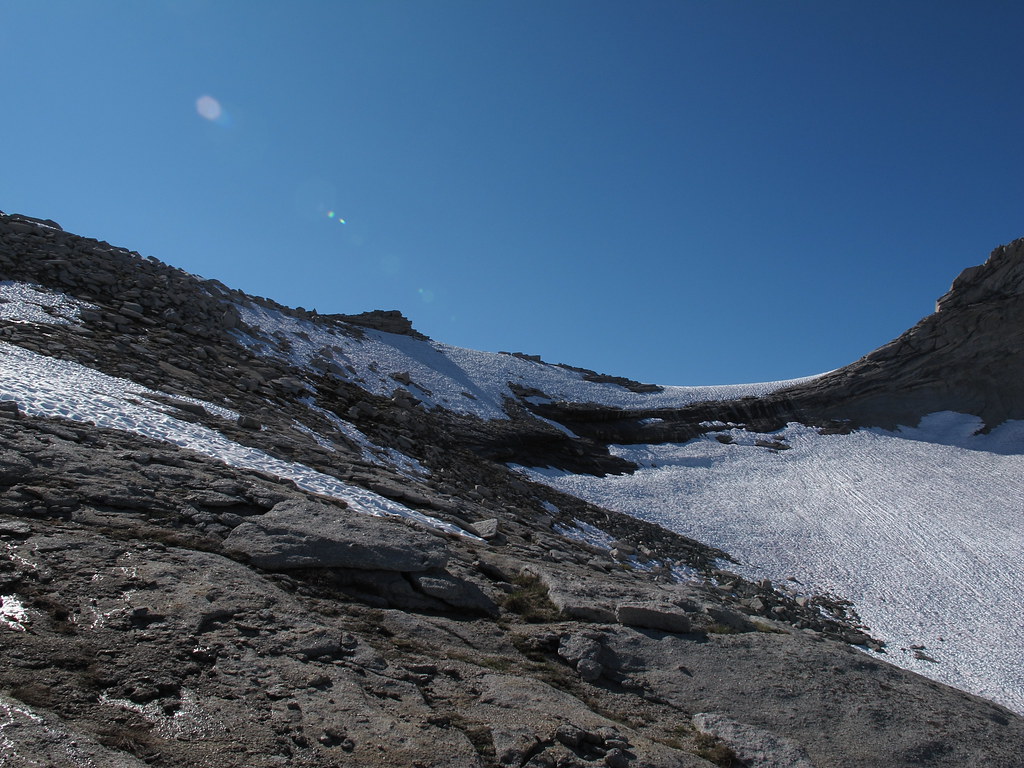
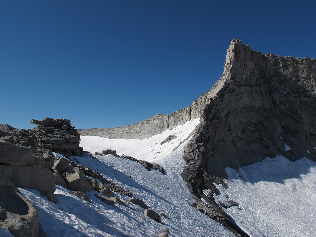
ROUTE DESCRIPTION: The East side has no special approach or descent from the pass other then if your going into Deadman Canyon you need to aim across the canyon to the trail to avoid cliffs. If a great deal of snow is present on the pass it's best to climb slightly up the South Western ridge to avoid very steep snow slopes. You will likely be able to pick up a few rocks there.
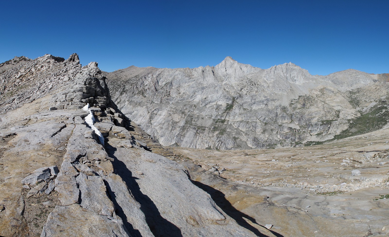
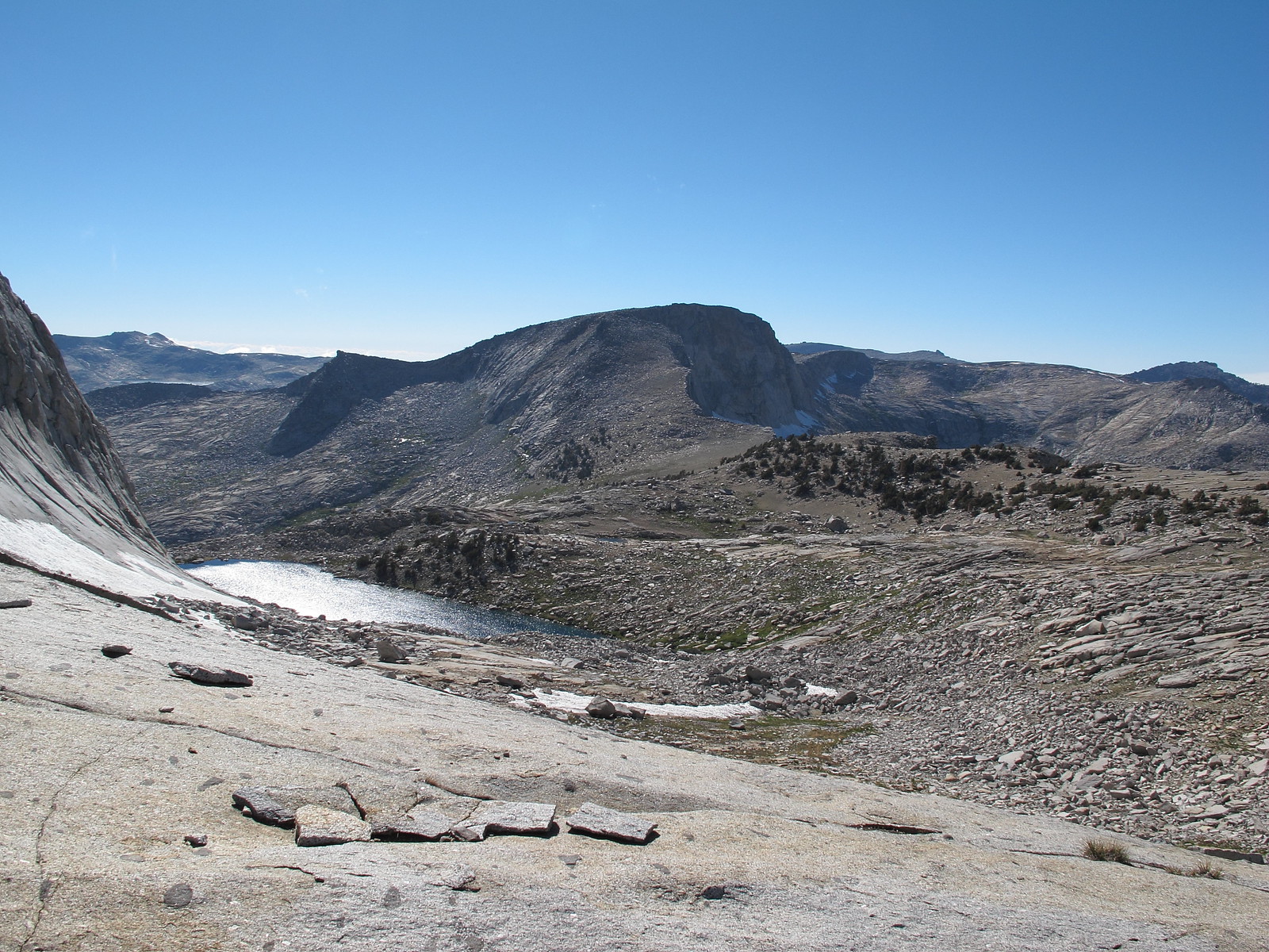
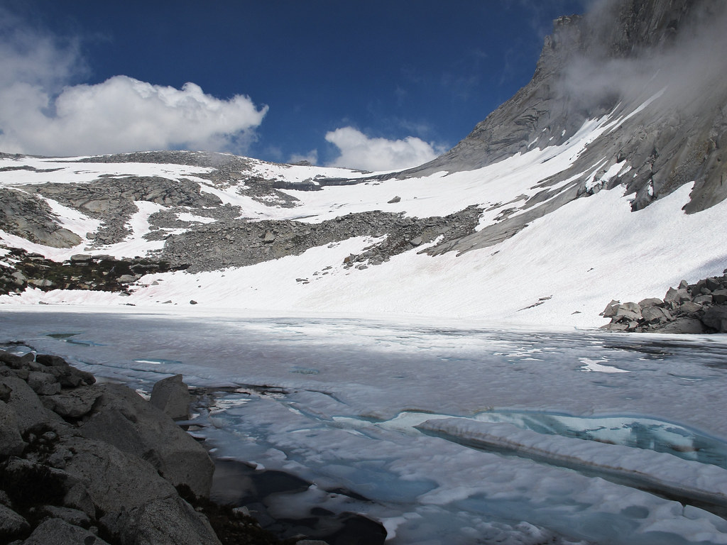
The Western side has many ways to go. Typically it's best to angle North Western along some boulder hoping or move slightly down to mixed granite shelves. Continue down until you reach the Northern shore of Lonely Lake.

With Snow:


I'd also like to note that some passes in the Sierra are named a Col. when in my opinion they show nothing that would define them as one. This is one of those cases.
TITLE: Horn Col
GENERAL OVERVIEW: This pass leads between Deadman Canyon and Lonely Lake at one of the upper head waters of Lone Pine Creek.
CLASS/DIFFICULTY: Class 2 / Some guides list this pass as class 1 but I cannot see any route over it that could maintain a class 1 rating.
LOCATION: This pass is the border line of Sequoia National Park and Kings Canyon National Park
ELEVATION: 11,320
USGS TOPO MAP (7.5'): Triple Divide Peak HST MAP
ROUTE DESCRIPTION: The East side has no special approach or descent from the pass other then if your going into Deadman Canyon you need to aim across the canyon to the trail to avoid cliffs. If a great deal of snow is present on the pass it's best to climb slightly up the South Western ridge to avoid very steep snow slopes. You will likely be able to pick up a few rocks there.
The Western side has many ways to go. Typically it's best to angle North Western along some boulder hoping or move slightly down to mixed granite shelves. Continue down until you reach the Northern shore of Lonely Lake.
With Snow: