Blue Lake Pass
GENERAL OVERVIEW: Access between Harriet Lake / Forester Creek and Blue Lake / Bench Canyon.
CLASS/DIFFICULTY: Class 2
LOCATION: Border of Yosemite National Park and Sierra National Forest / Ansel Adams Wilderness. HST Map.
ELEVATION: 3,426m (11,240ft)
USGS TOPO MAP (7.5'): Mount Lyell, CA
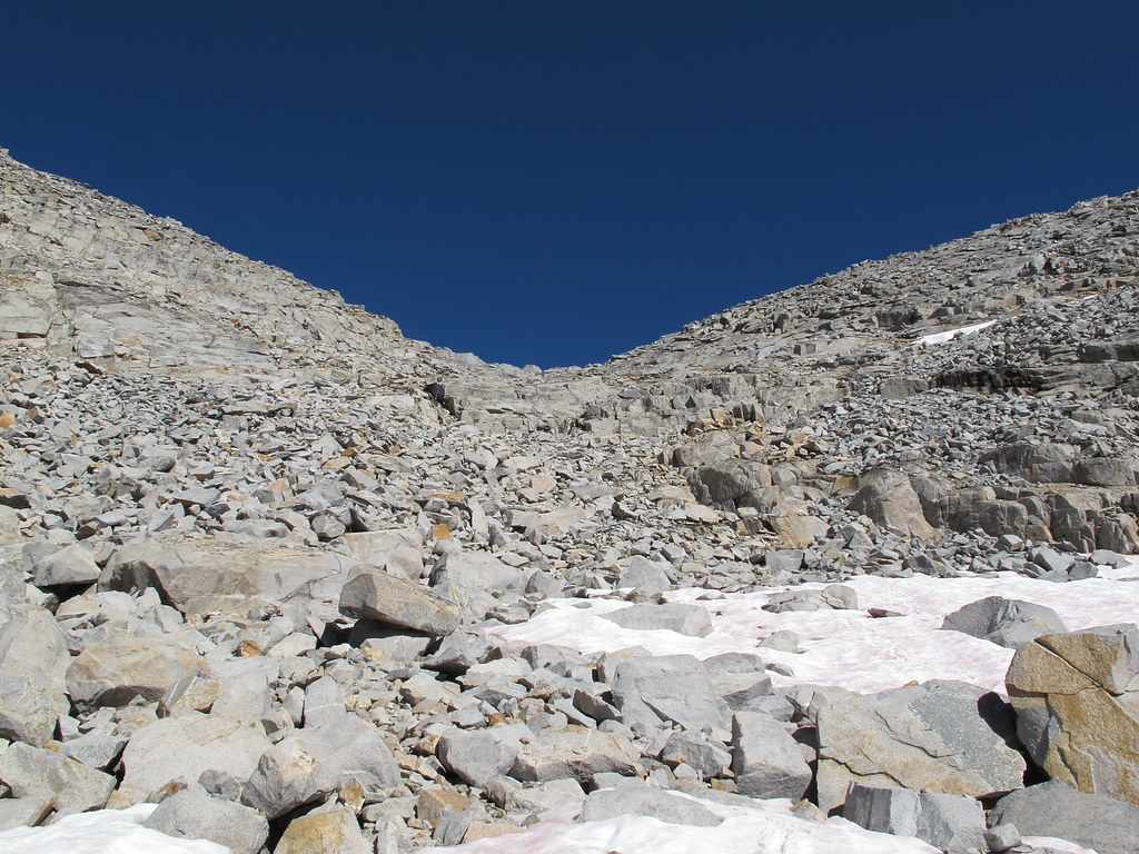
ROUTE DESCRIPTION: From west, following Roper's Sierra High Route from the beautiful gently sloping plateau north from Forester Creek easily approach the small lake at almost 10,880 ft. Climb towards the lowest point of the obvious saddle. I took a route slightly to the left as it seemed easiest.
On eastern side, I descended diagonally slightly left, then slightly right, then far left until the minor ridge between the lake above Blue Lake and the strangely shaped lake (the strange shape doesn't show on map) at 10,480+ ft. From there the descent is gentler.
PHOTOS:
Taken on 2012-09-21 - a high snow year (~200%).
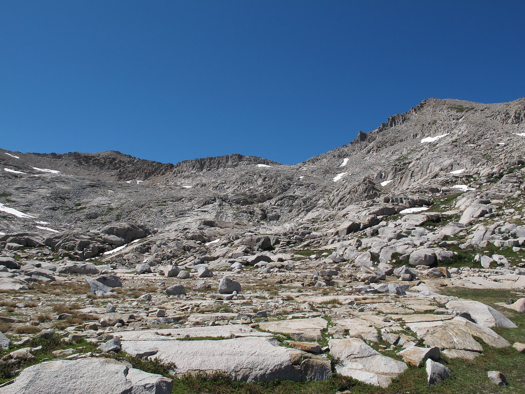
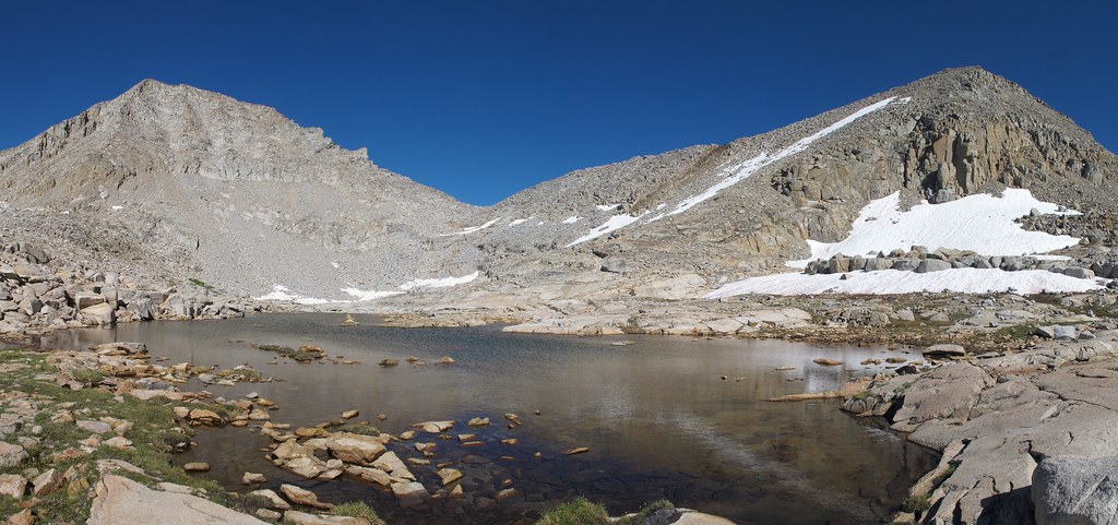
View of the pass from west.
Close-up from west.
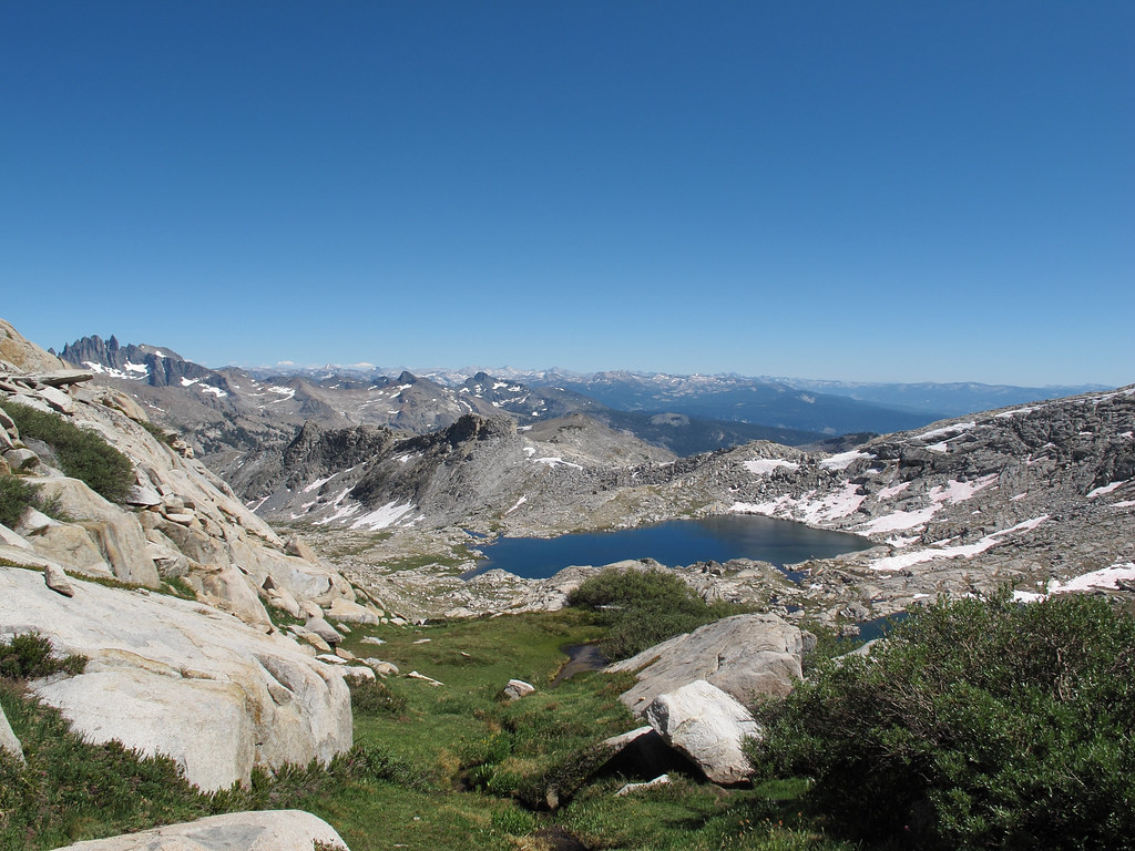
View from the pass looking west.
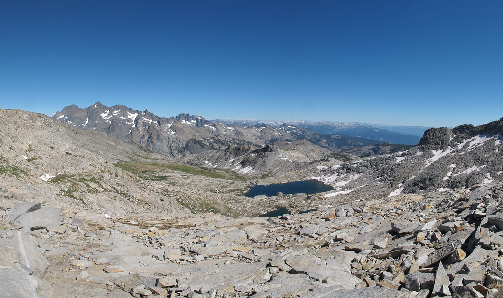
View from the pass looking east.
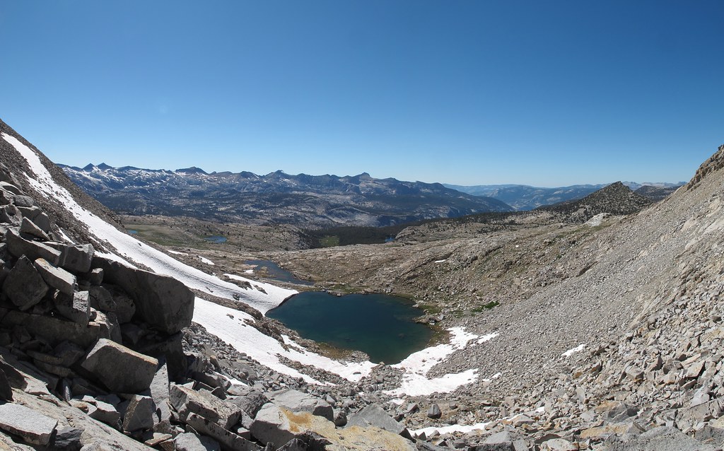
The strangely shaped lake at 10,480+ ft.
View of the pass from east.
Blue Lake Pass
-
tomba

- Topix Regular
- Posts: 375
- Joined: Sat Jun 18, 2011 12:50 pm
- Experience: Level 4 Explorer
- Location: Bay Area
Blue Lake Pass
You do not have the required permissions to view the files attached to this post.
-- Found trash? Please pack it out. Thank you.
-
RoguePhotonic

- Topix Fanatic
- Posts: 1693
- Joined: Thu Mar 24, 2011 9:52 am
- Experience: Level 4 Explorer
- Location: Bakersfield CA
- Contact:
Re: Blue Lake Pass
Eastern side:
In the image below you'll notice two snow patches about mid picture. Just below them is a sort of smooth large cut in the rock. I climbed this section but getting onto the rock at the bottom is very steep and slick. You can climb onto a tiny ledge on it's outside with enough exposure to die from the fall but it offers an easy way up. The rest of the climb is an easy class 2 walk up without any real route finding challenges.

Western side:
In the image below you'll notice two snow patches about mid picture. Just below them is a sort of smooth large cut in the rock. I climbed this section but getting onto the rock at the bottom is very steep and slick. You can climb onto a tiny ledge on it's outside with enough exposure to die from the fall but it offers an easy way up. The rest of the climb is an easy class 2 walk up without any real route finding challenges.
Western side:
Who is online
Users browsing this forum: Pat Worthington and 8 guests