Deerhorn Saddle
Posted: Thu May 31, 2012 2:03 pm
Deerhorn Saddle
GENERAL OVERVIEW: Deerhorn Saddle is located in Kings Canyon NP and connects
Vidette Creek and the basin north of Harrison Pass.
CLASS/DIFFICULTY: Class 2
LOCATION: Kings Canyon NP. HST Map
ELEVATION:12,560ft
USGS TOPO MAP (7.5'): Mt. Brewer, CA
ROUTE DESCRIPTION: Follow the route up Vidette skirting the lakes to the end of
of the valley. Ascend scree to the top of the obvious saddle.
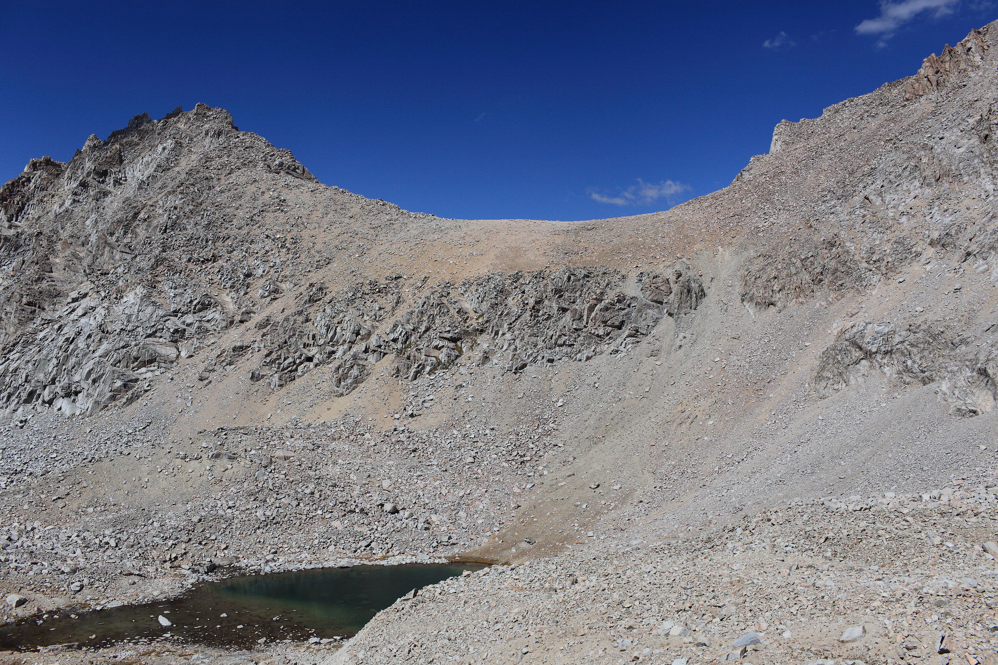
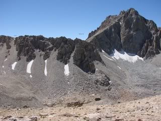
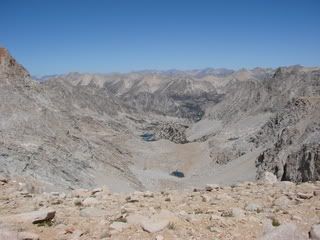
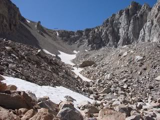
PHOTOS: Courtesy of Cgundersen
View south from Deerhorn Saddle
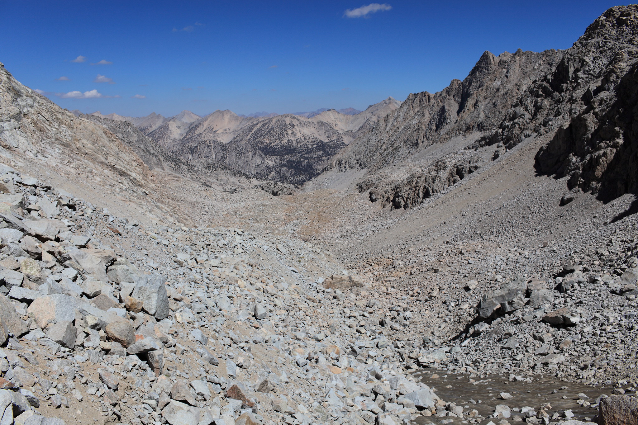
View north from Dearhorn Saddle
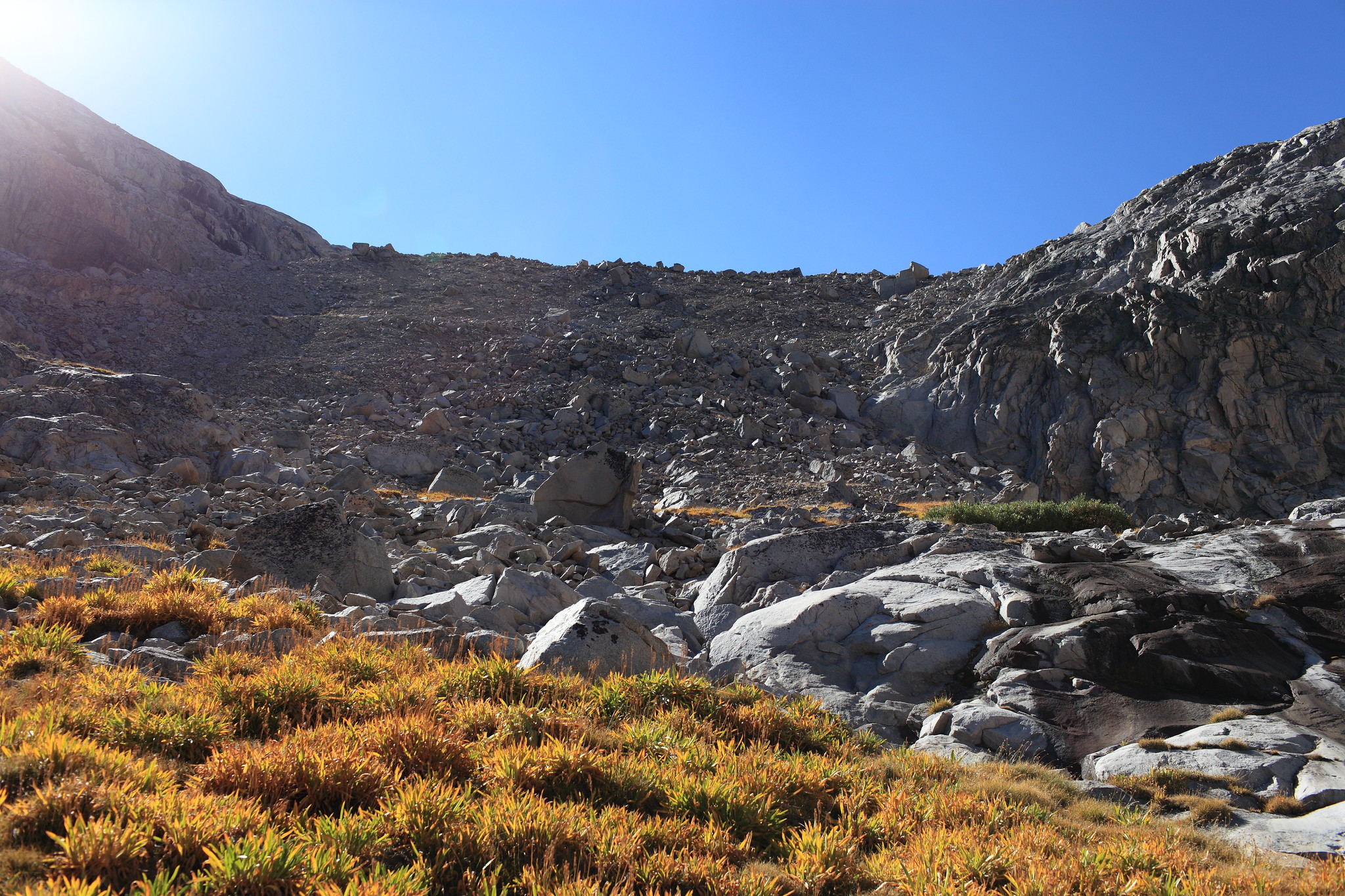
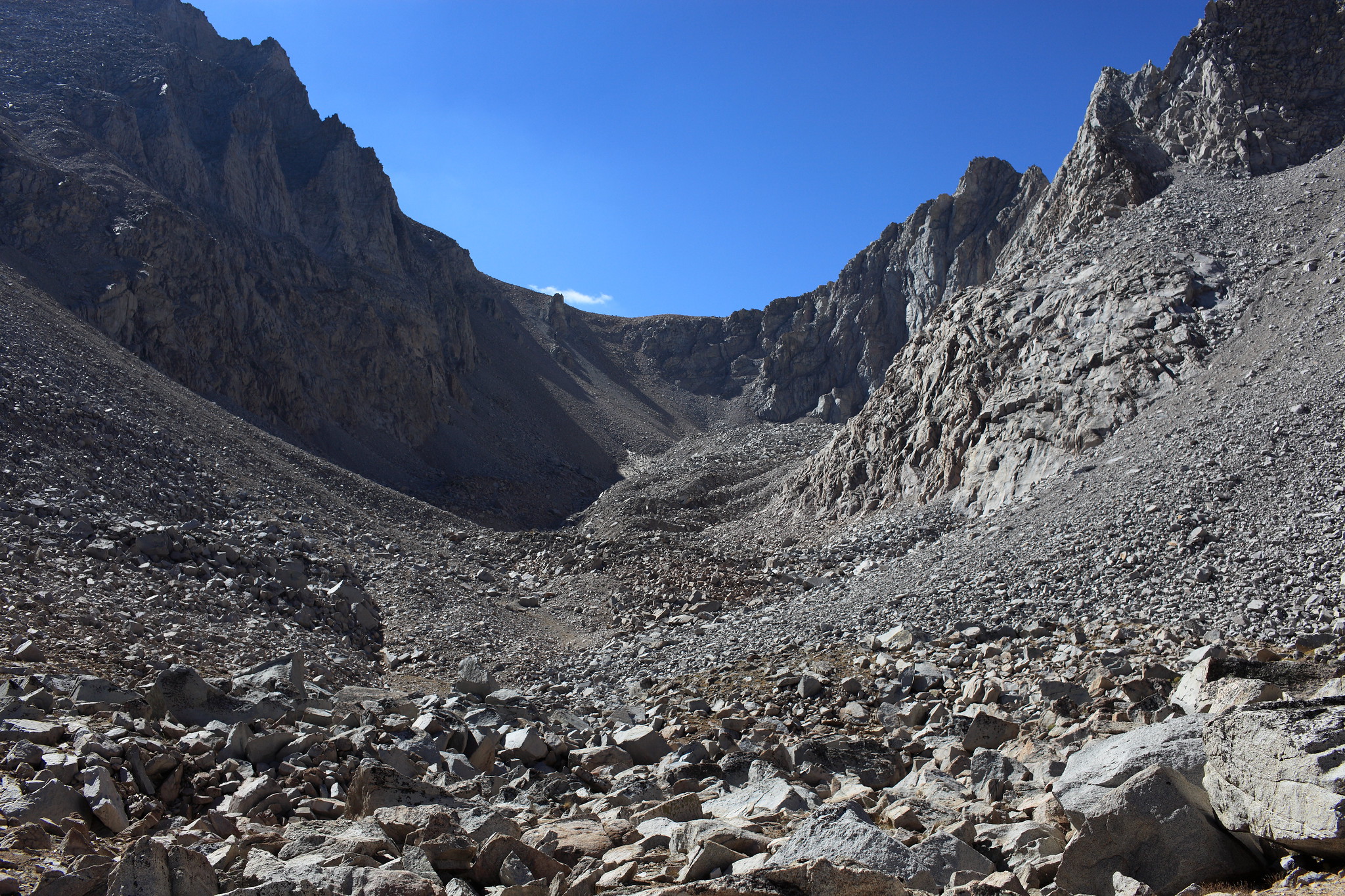
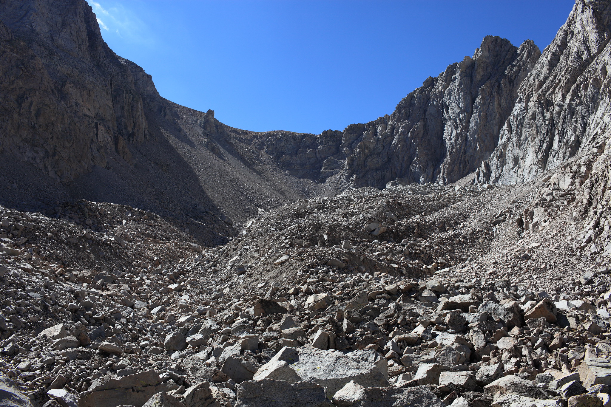
Heading up towards Dearhorn Saddle from the north
GENERAL OVERVIEW: Deerhorn Saddle is located in Kings Canyon NP and connects
Vidette Creek and the basin north of Harrison Pass.
CLASS/DIFFICULTY: Class 2
LOCATION: Kings Canyon NP. HST Map
ELEVATION:12,560ft
USGS TOPO MAP (7.5'): Mt. Brewer, CA
ROUTE DESCRIPTION: Follow the route up Vidette skirting the lakes to the end of
of the valley. Ascend scree to the top of the obvious saddle.
PHOTOS: Courtesy of Cgundersen
View south from Deerhorn Saddle
View north from Dearhorn Saddle
Heading up towards Dearhorn Saddle from the north