Mungoat Pass
Posted: Wed May 30, 2012 9:52 am
Mungoat Pass
GENERAL OVERVIEW: Leads from Grouse Lake to Kid Lakes Basin (between
Goat Mountain & Munger Peak). Combined with Glacier Saddle, this makes a
great SHR detour.
CLASS/DIFFICULTY: Class 2
LOCATION: Kings Canyon NP. HST Map
ELEVATION: 11,640ft
USGS TOPO MAP (7.5'): Marion Peak, CA
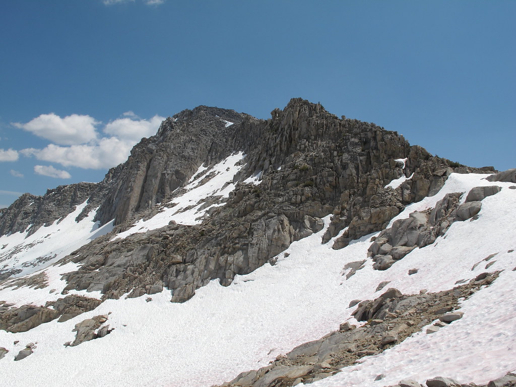
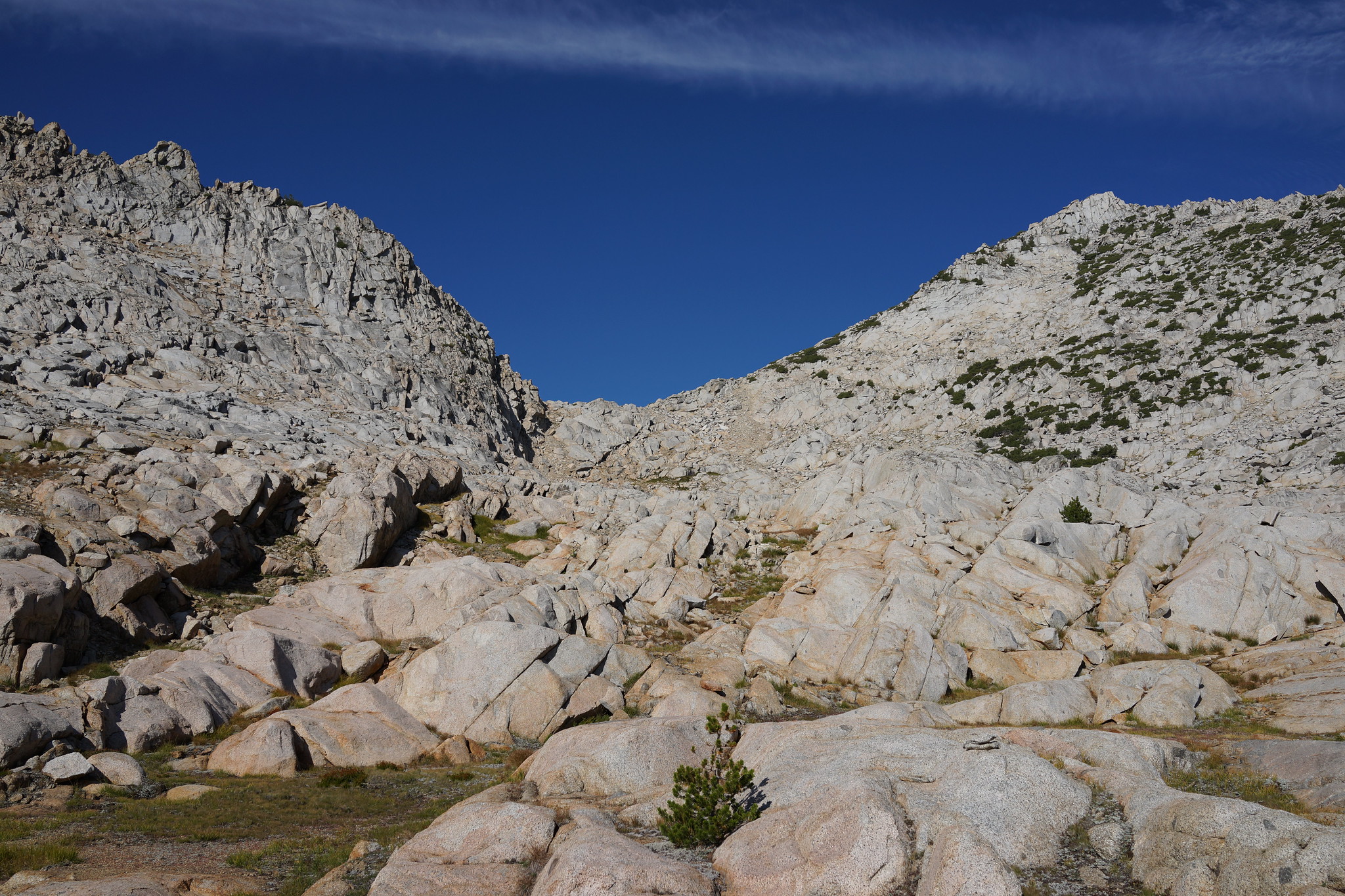
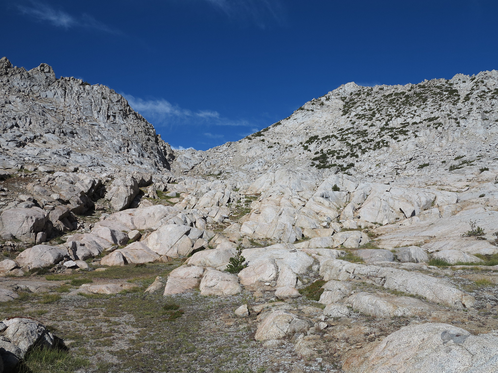
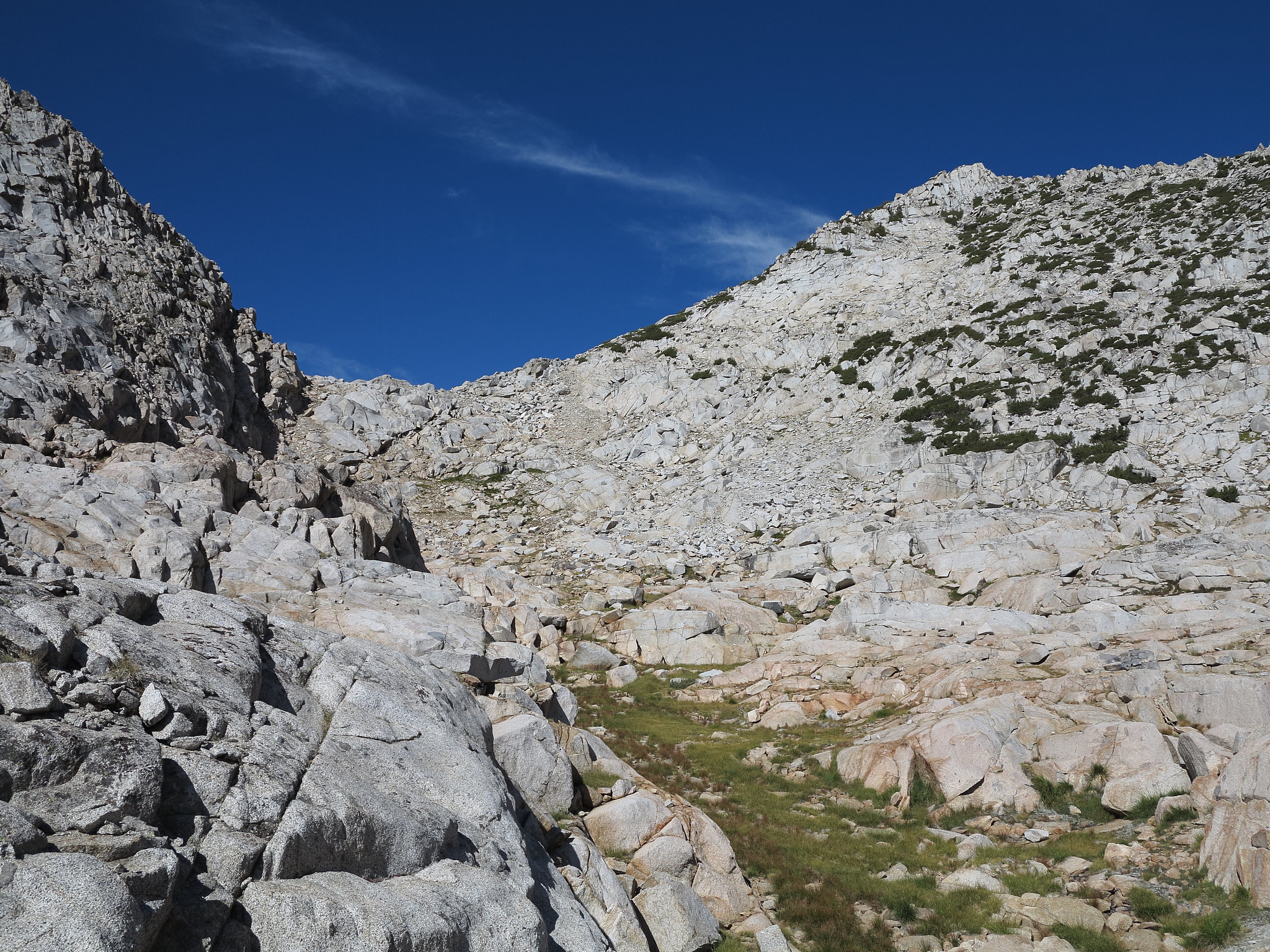
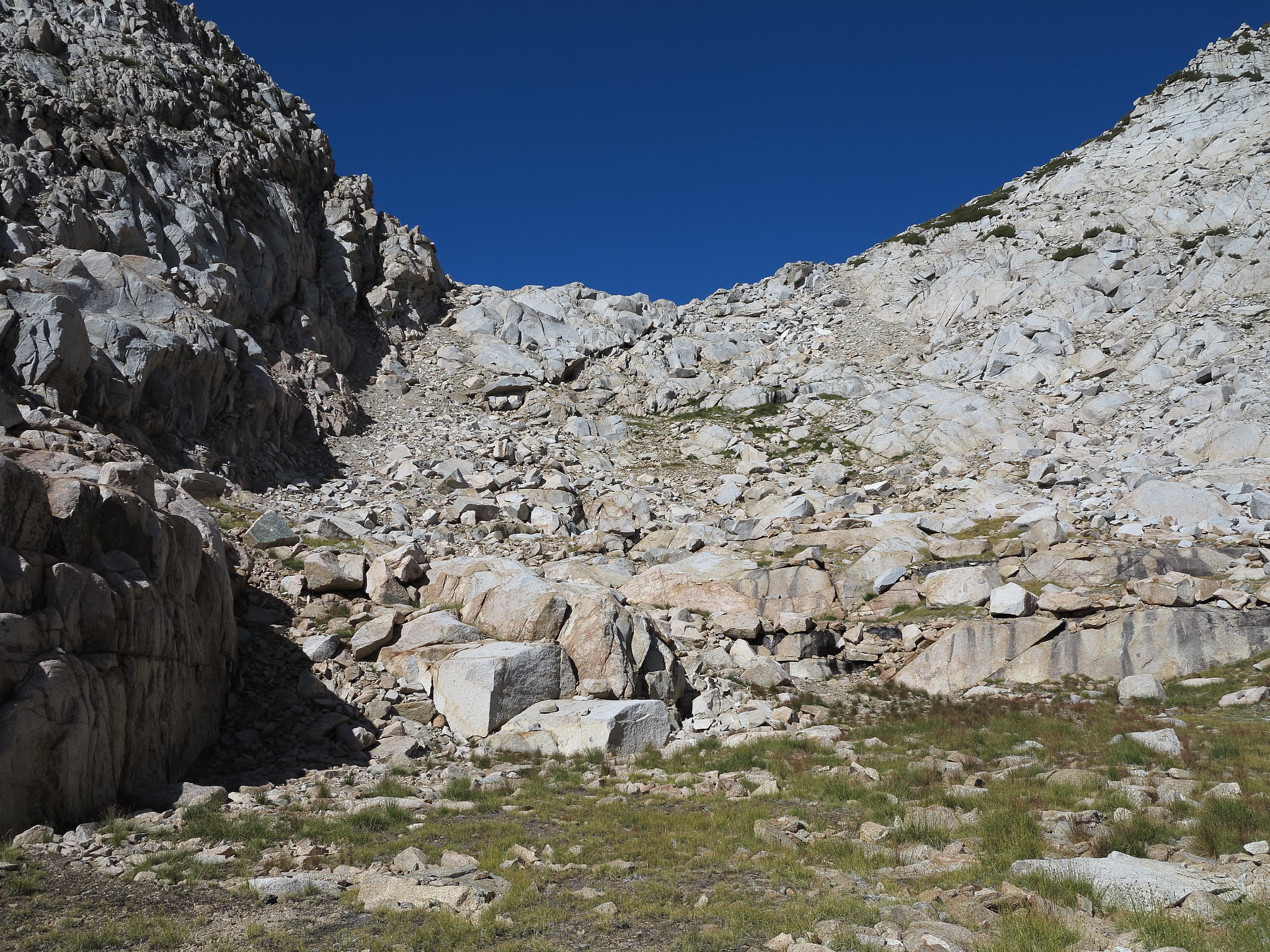
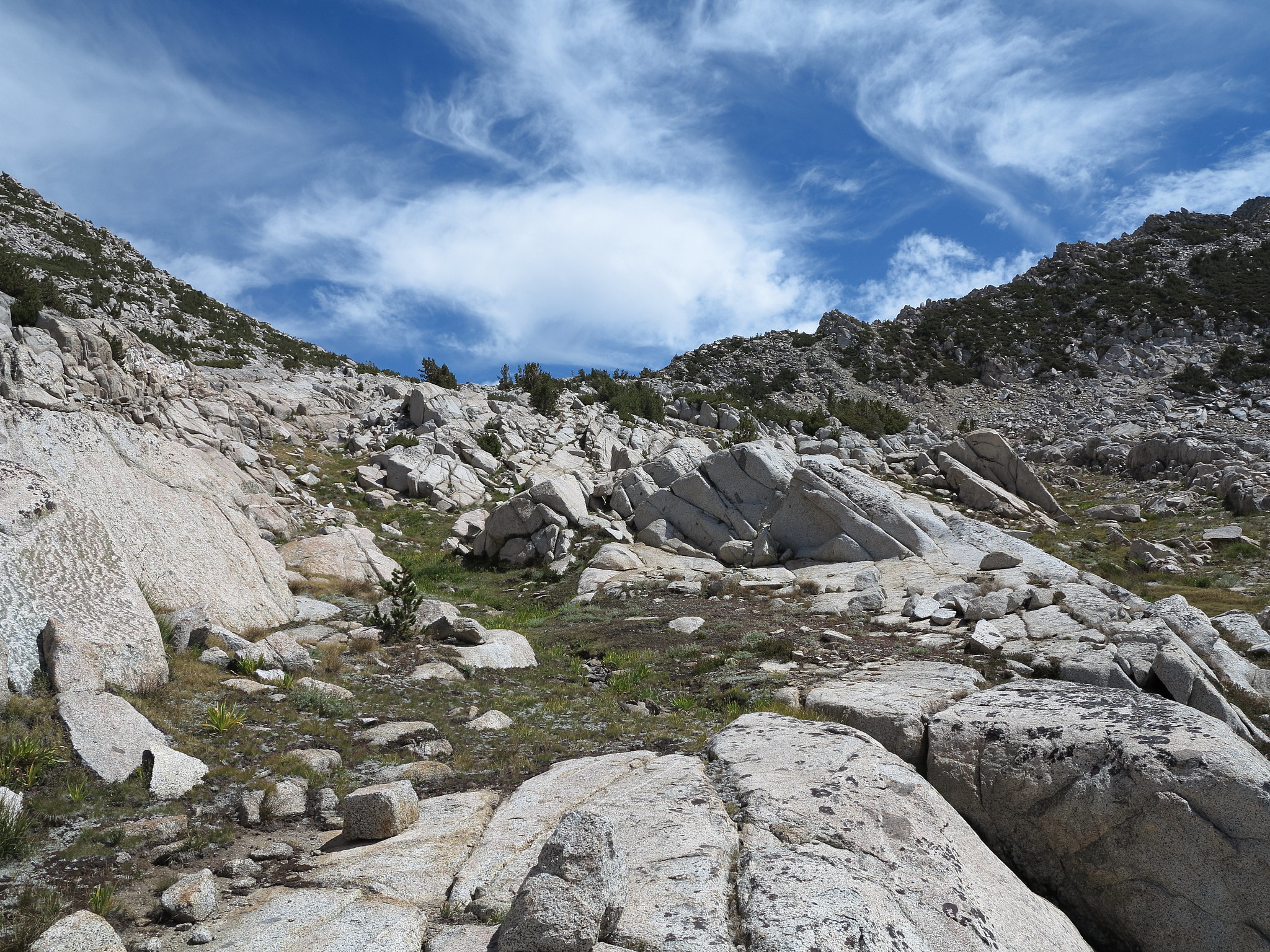
ROUTE DESCRIPTION: SW side of the pass is gentle slopes. NE side has some
cliffy stuff, which you can bypass by staying to the left descending (to the right
when climbing from the NE).
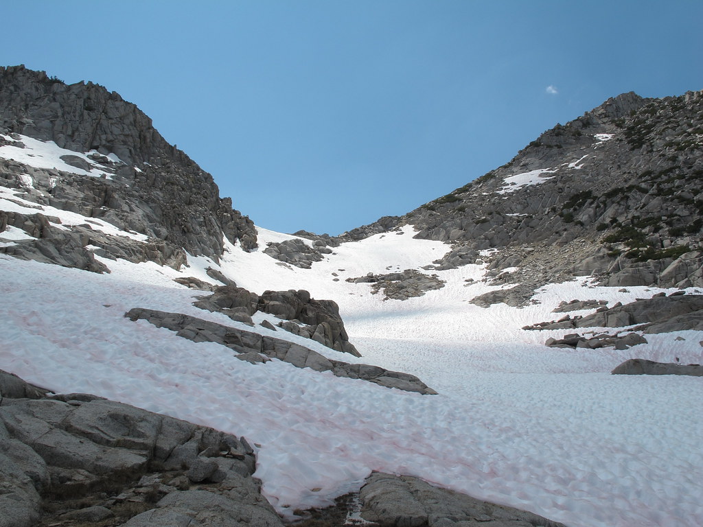
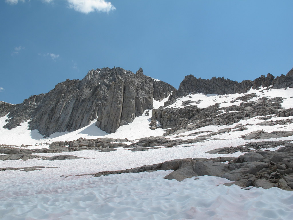
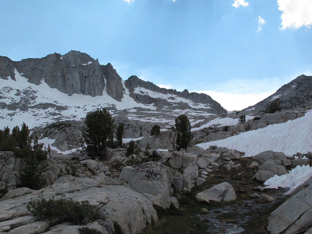
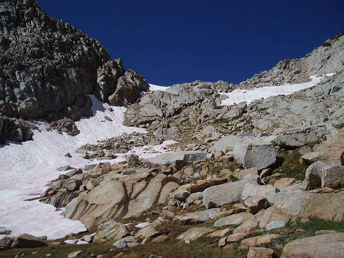
Mungoat Pass from the NE (August 2006, a year with a lot of late snow):
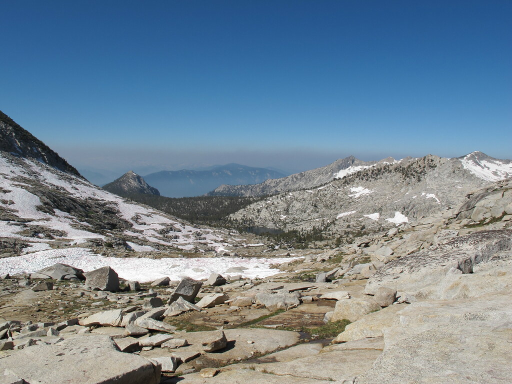
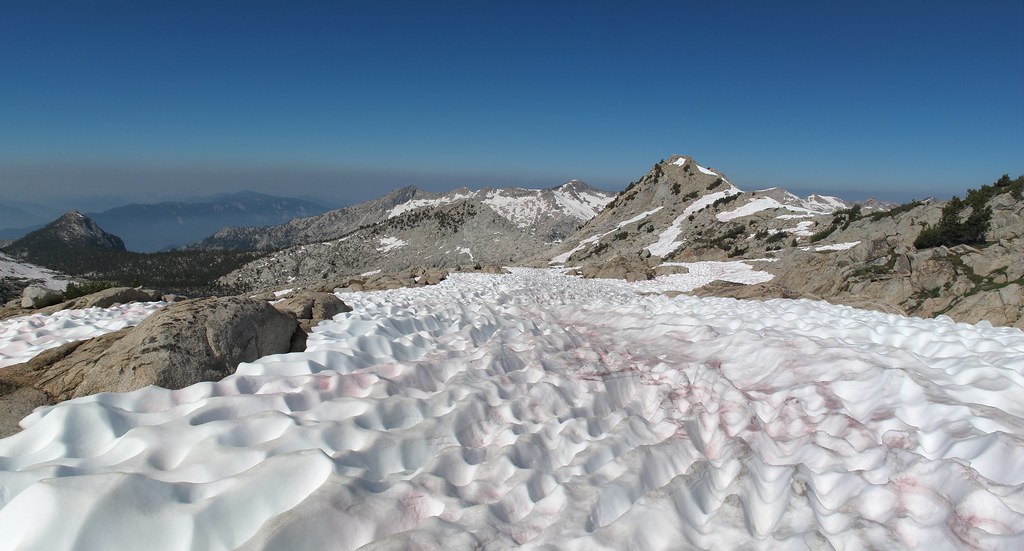
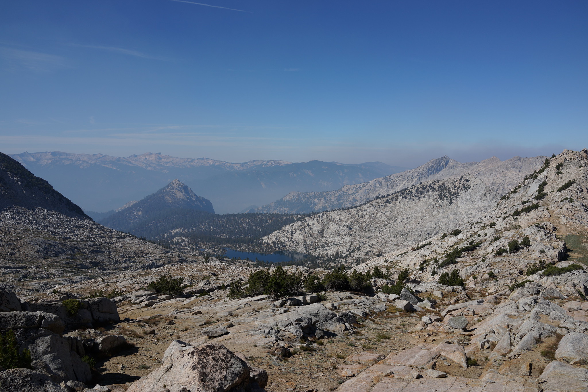
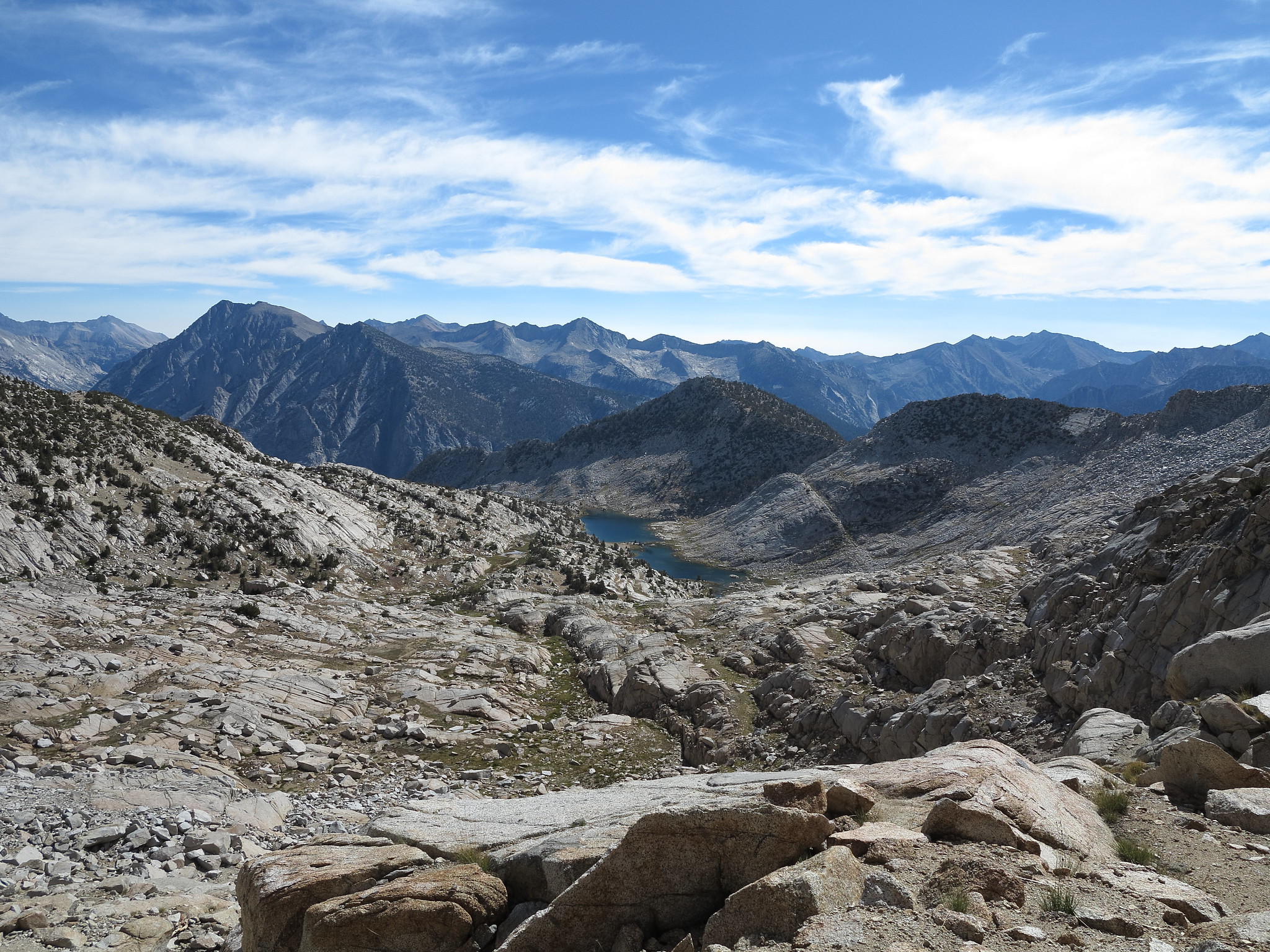
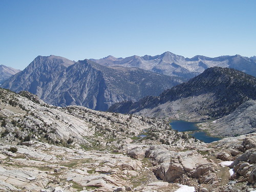
View NE from the top of the pass:
GENERAL OVERVIEW: Leads from Grouse Lake to Kid Lakes Basin (between
Goat Mountain & Munger Peak). Combined with Glacier Saddle, this makes a
great SHR detour.
CLASS/DIFFICULTY: Class 2
LOCATION: Kings Canyon NP. HST Map
ELEVATION: 11,640ft
USGS TOPO MAP (7.5'): Marion Peak, CA
ROUTE DESCRIPTION: SW side of the pass is gentle slopes. NE side has some
cliffy stuff, which you can bypass by staying to the left descending (to the right
when climbing from the NE).
Mungoat Pass from the NE (August 2006, a year with a lot of late snow):
View NE from the top of the pass: