Volcanic Pass

Member descriptions, photos, and map locations of Cross Country Passes in the High Sierra. This forum is for information only - discussions should be kept in the appropriate categories.
This forum is a component of the HST Map. We need your help to complete the database, so please contribute!
Post Reply
User avatar
maverick
Forums Moderator
Forums Moderator
Posts: 11835
Joined: Thu Apr 06, 2006 5:54 pm
Experience: Level 4 Explorer

Volcanic Pass

Post by maverick »

VOLCANIC PASS

GENERAL OVERVIEW: Volcanic pass is located in the Ansel Adams Wilderness
which is within the INYO NF. It connects the Minaret Creek drainage with the
Shadow Creek drainage.

CLASS/DIFFICULTY: Class 2


LOCATION: Ansel Adams Wilderness. Volcanic Pass on the HST Map


ELEVATION: 10,560ft


USGS TOPO MAP (7.5'): Mount Ritter, CA


ROUTE DESCRIPTION: Leave the Minaret Trail at the large meadowbeneath
Minaret Lake and ascend the spure trail heading north to the abandoned Minaret Mine.
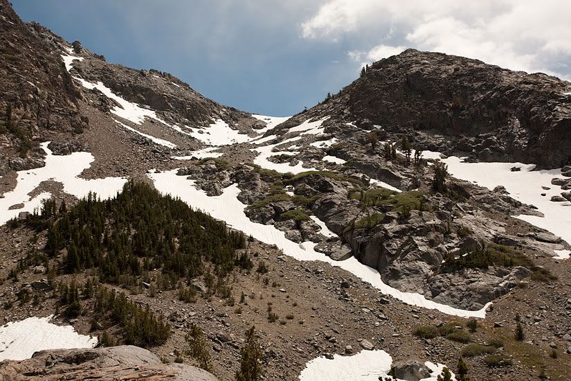
Continue hiking cross-country towards Volcanic Ridge and head for the lowest pass
atop Ridge. Steep scree/talus mix on the upper half of the pass leads makes slow
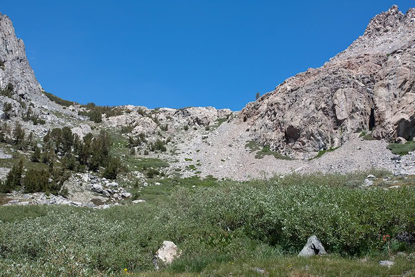
going. Head east towards trees once passed the difficult upper section and continue
down to Cabin Lake from where there is a use trail on the western end of the lake
descending down to the Shadow Creek Trail.

PHOTOS:

Southern Side
Image

Northern Side
Image
Last edited by maverick on Wed Jun 20, 2012 12:21 pm, edited 4 times in total.
Reason: formatting tweak
Professional Sierra Landscape Photographer

I don't give out specific route information, my belief is that it takes away from the whole adventure spirit of a trip, if you need every inch planned out, you'll have to get that from someone else.

Have a safer backcountry experience by using the HST ReConn Form 2.0, named after Larry Conn, a HST member: http://reconn.org
Post Reply

Who is online

Users browsing this forum: No registered users and 10 guests