Franklin Col
Posted: Sat Dec 19, 2015 2:47 pm
TITLE: Franklin Col
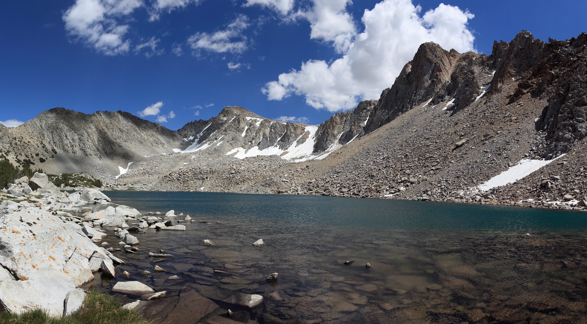
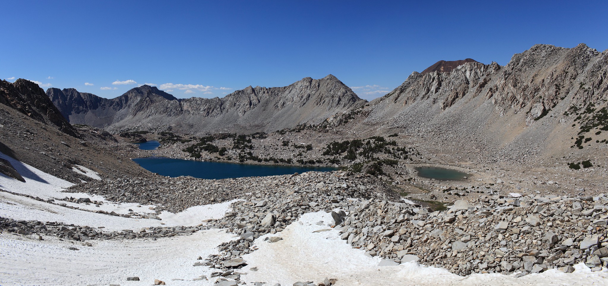
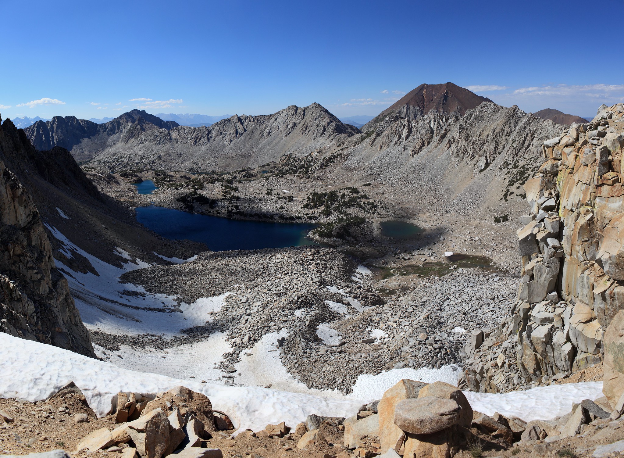
GENERAL OVERVIEW: This pass crosses between Franklin Lake at the head of Purple Creek and a branching cirque that contains the primary creek coming from the NE into Tully hole.
CLASS/DIFFICULTY: Class 2
LOCATION: Sierra National Forest / John Muir Wilderness 1.9 miles North of Tully Hole. South of Franklin Lake. HST Map
ELEVATION: 11,810
USGS TOPO MAP (7.5'): Bloody Mountain
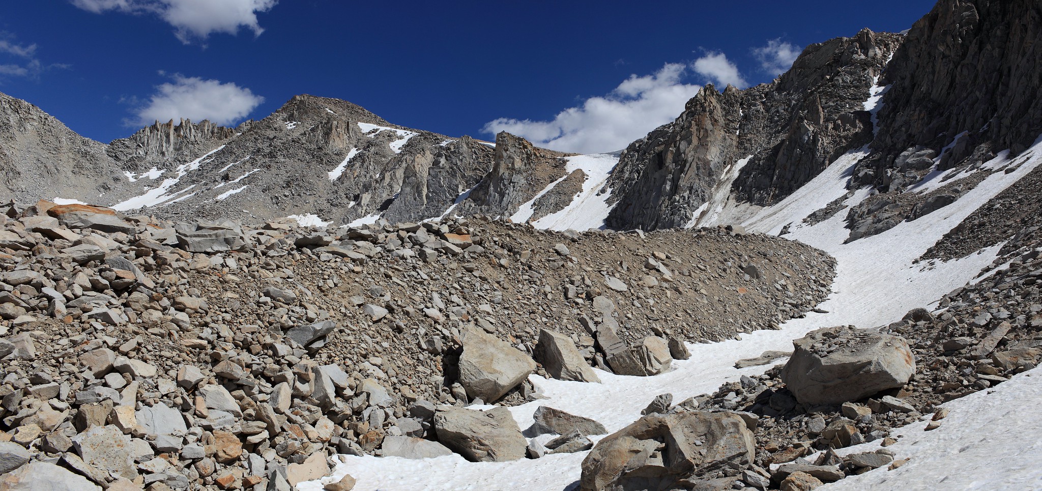
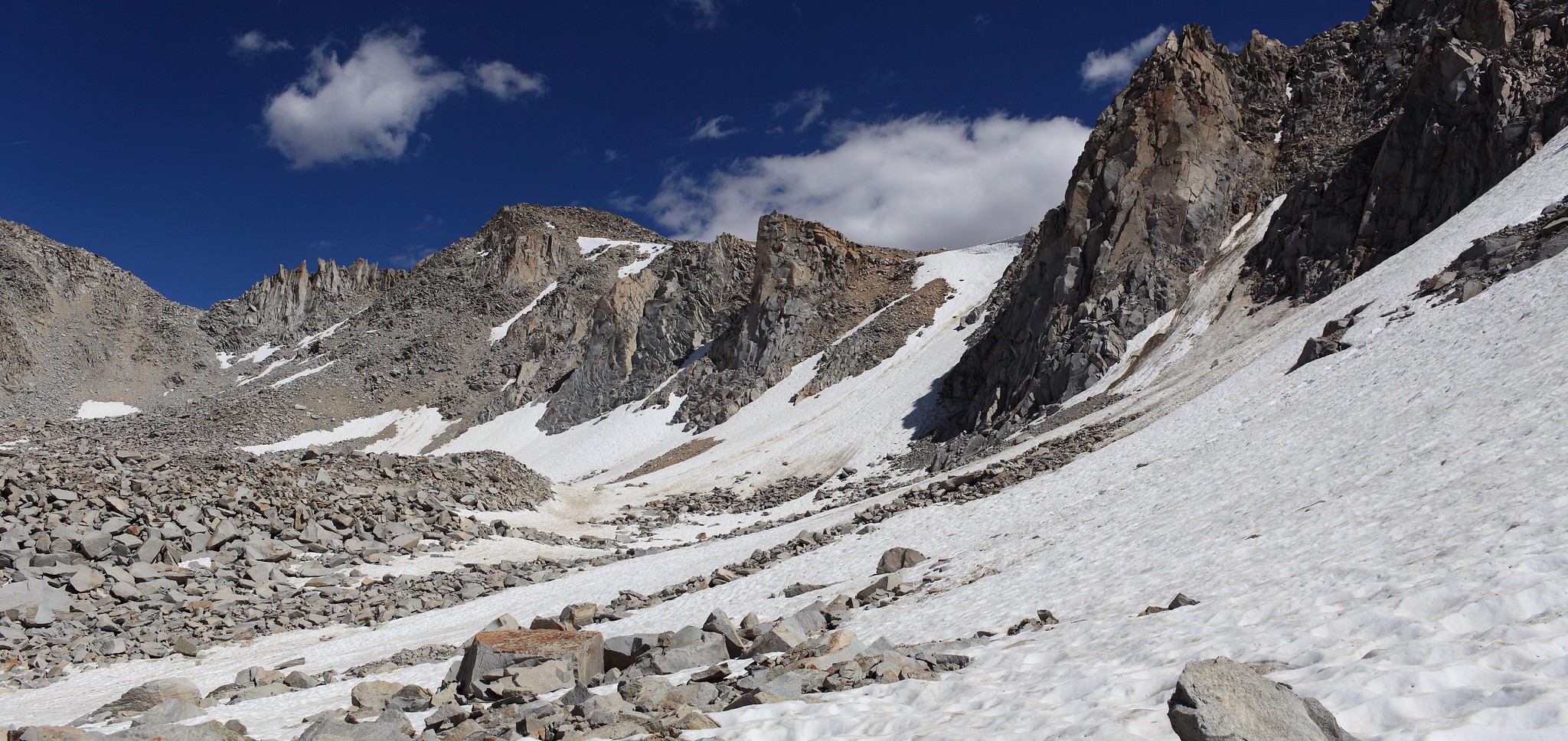
ROUTE DESCRIPTION: My perspective of this pass is a bit more limited due to the amount of snow I encountered while climbing it.
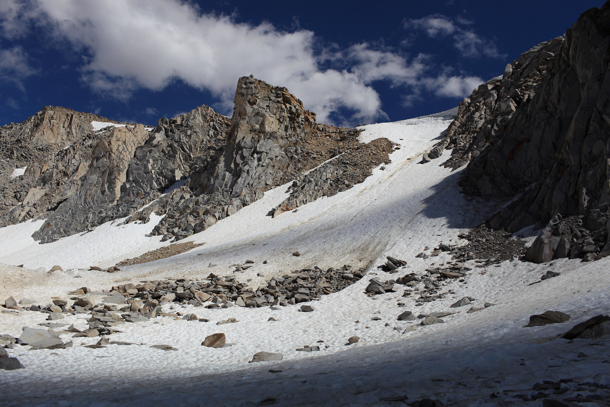
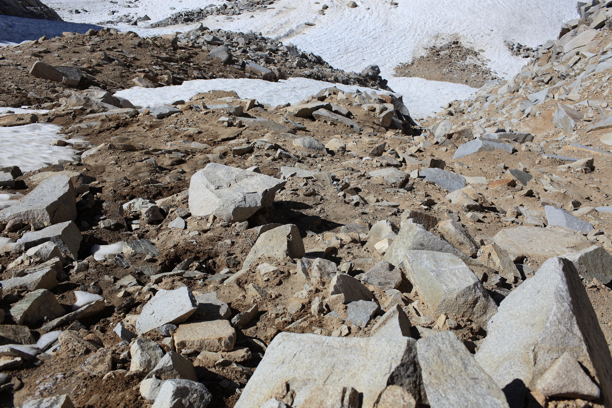
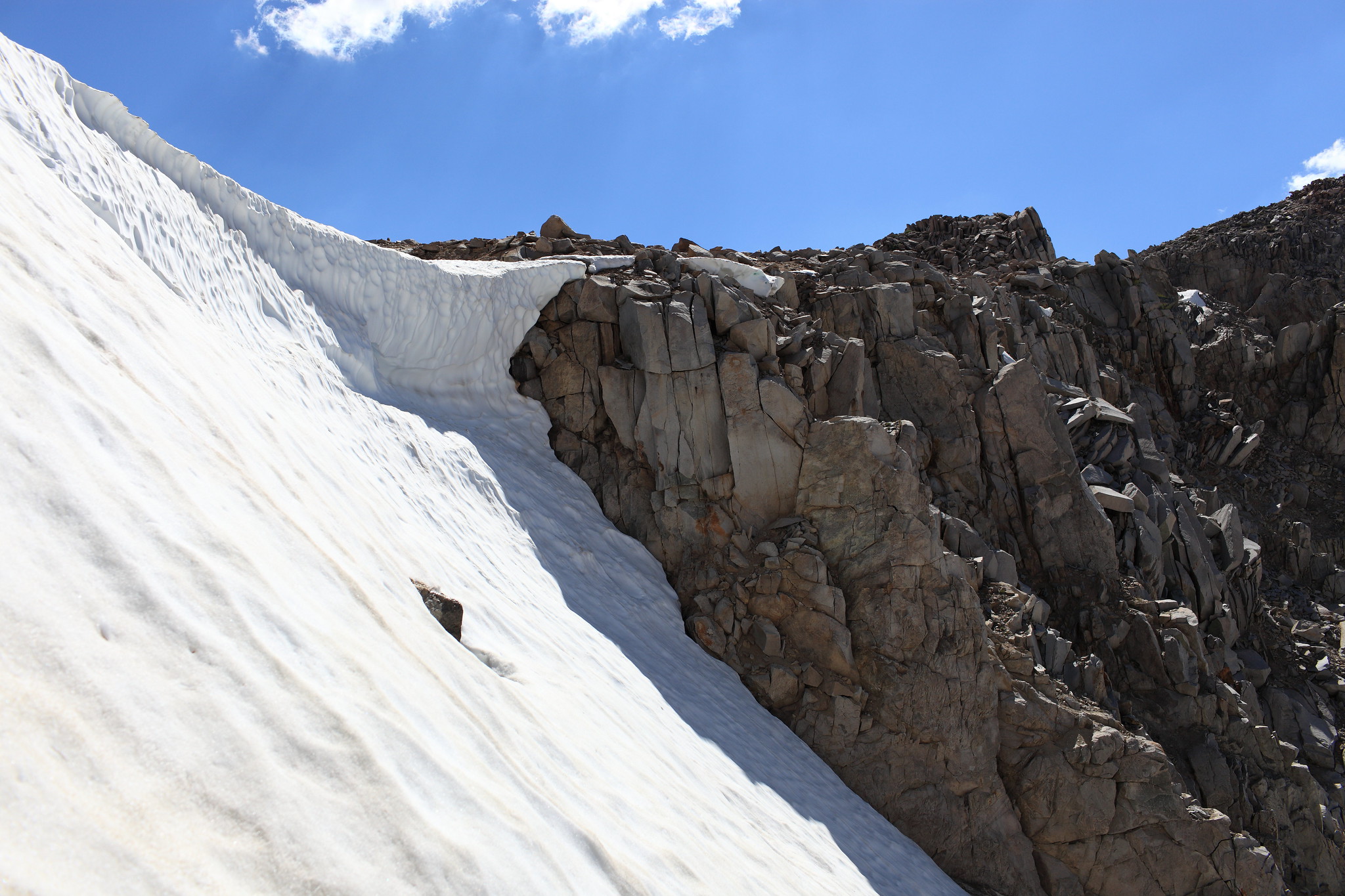
I approached the pass on the North side by leaving the lake at a steep moraine pile and staying below it until you can cross around the backside of it. The snow got steep enough to have a real need to carefully kick each step. I decided to leave the snow and climb the slope of rocks that was heavily mixed into dirt. This section of dirt and sand was so steep that I was using all fours in order to get up it. I have audio journals and in reviewing it I had this to say "Eventually I got over to the rocks which was nasty steep, nasty loose. It was a REAL f**king job to get up those rocks. JUST BRUTAL! I wouldn't have gone down them! If I had come over the pass and this is what I was faced with I would have said F**k this S**T!! I'm turning around!
Although even once my own I would consider this opinion subjective. Perhaps the better way to look at it is it's better for those with greater experience.
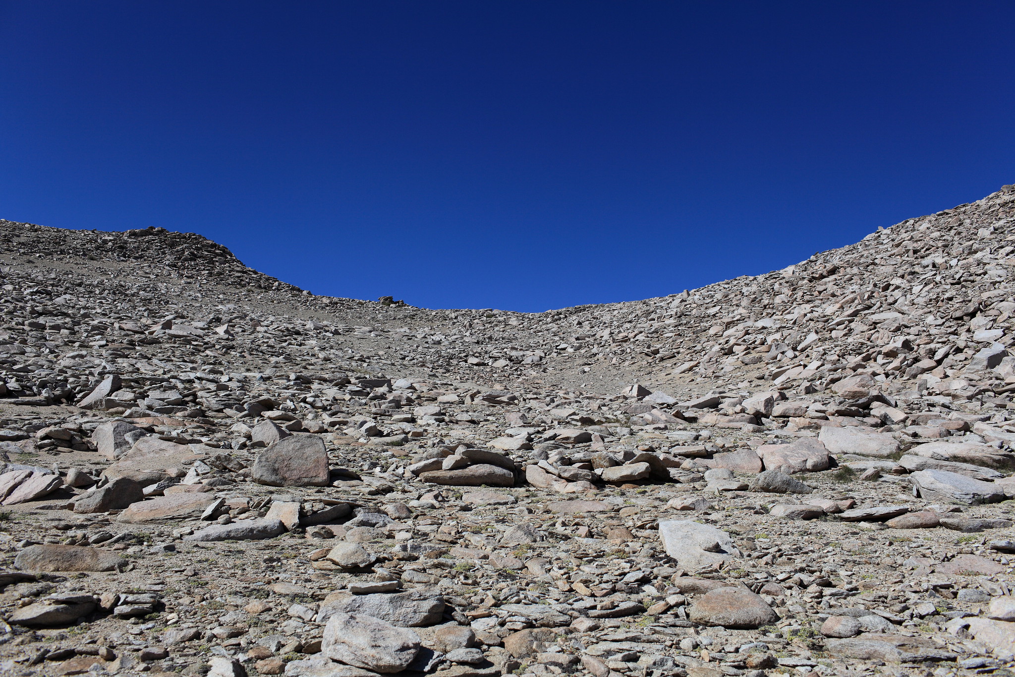
The South side of the pass however is class 1 higher up. You will have to cross plenty of talus lower down though.


GENERAL OVERVIEW: This pass crosses between Franklin Lake at the head of Purple Creek and a branching cirque that contains the primary creek coming from the NE into Tully hole.
CLASS/DIFFICULTY: Class 2
LOCATION: Sierra National Forest / John Muir Wilderness 1.9 miles North of Tully Hole. South of Franklin Lake. HST Map
ELEVATION: 11,810
USGS TOPO MAP (7.5'): Bloody Mountain
ROUTE DESCRIPTION: My perspective of this pass is a bit more limited due to the amount of snow I encountered while climbing it.
I approached the pass on the North side by leaving the lake at a steep moraine pile and staying below it until you can cross around the backside of it. The snow got steep enough to have a real need to carefully kick each step. I decided to leave the snow and climb the slope of rocks that was heavily mixed into dirt. This section of dirt and sand was so steep that I was using all fours in order to get up it. I have audio journals and in reviewing it I had this to say "Eventually I got over to the rocks which was nasty steep, nasty loose. It was a REAL f**king job to get up those rocks. JUST BRUTAL! I wouldn't have gone down them! If I had come over the pass and this is what I was faced with I would have said F**k this S**T!! I'm turning around!
Although even once my own I would consider this opinion subjective. Perhaps the better way to look at it is it's better for those with greater experience.
The South side of the pass however is class 1 higher up. You will have to cross plenty of talus lower down though.