Gunsight Pass
Posted: Sat Dec 12, 2015 10:09 pm
TITLE: Gunsight Pass
GENERAL OVERVIEW: This Pass marks the boarder line of Kings Canyon National Park and Sierra National Forest between the Hockey Lakes and Goddard Canyon near Lake Confusion
CLASS/DIFFICULTY: Class 2
LOCATION: The low saddle North West of Lake Confusion near the head of Goddard Canyon HST Map
ELEVATION: 11,650
USGS TOPO MAP (7.5'): Blackcap Mountain
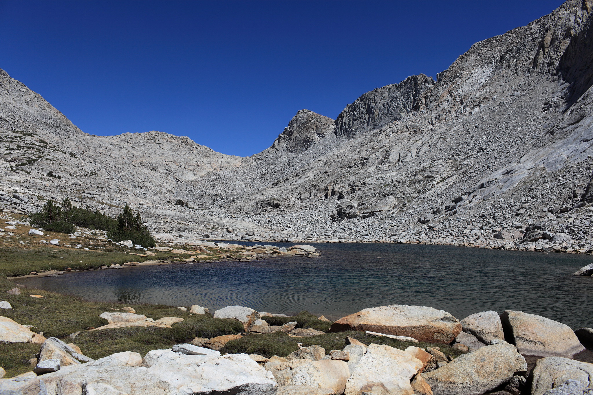
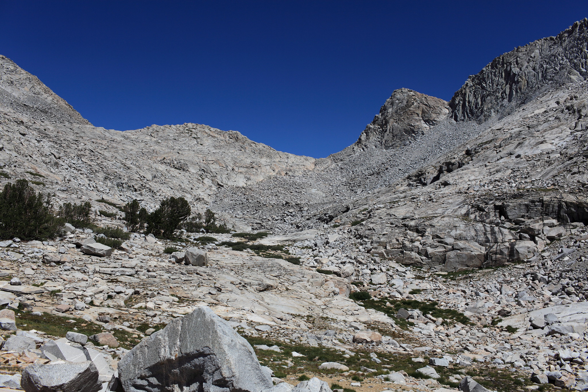
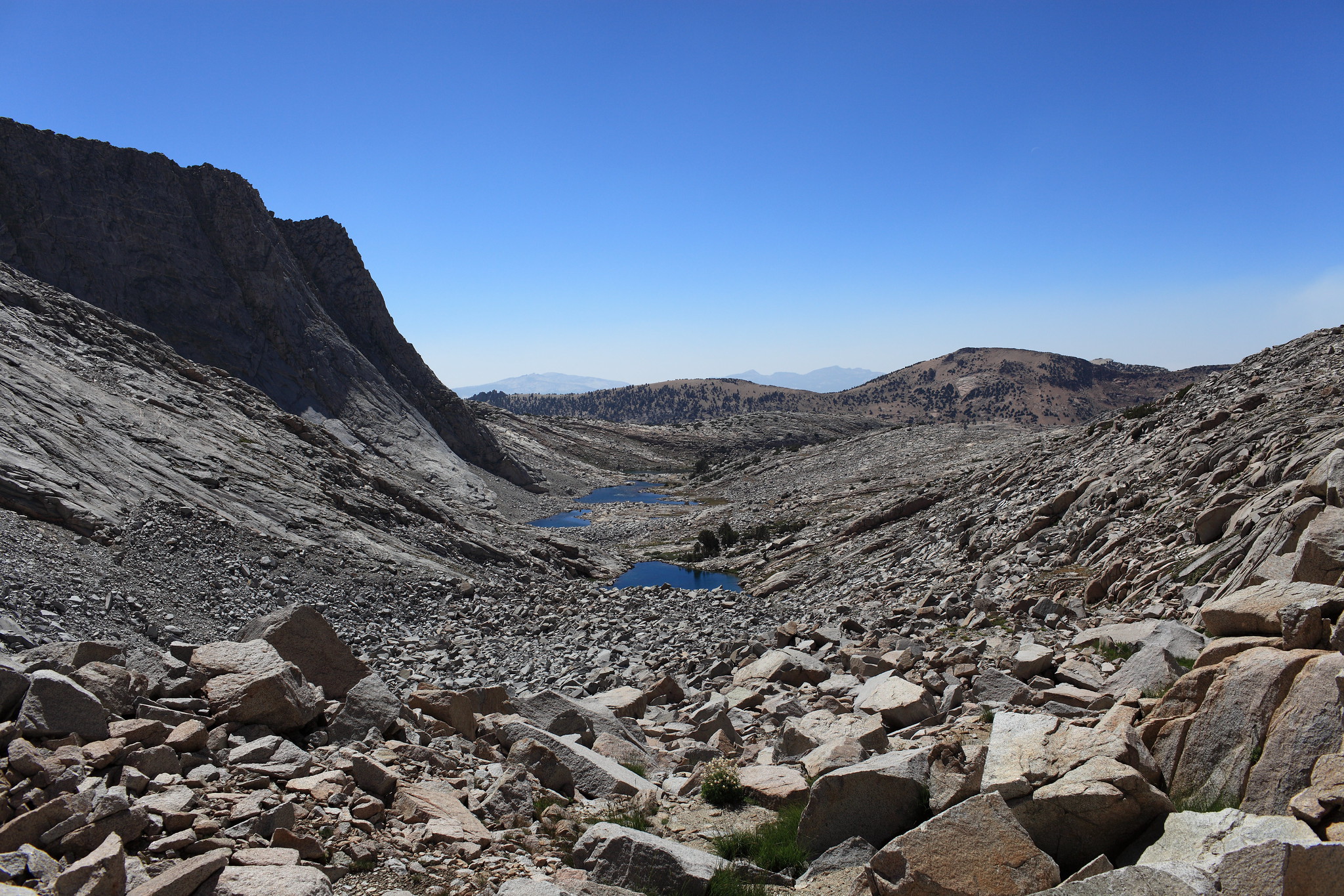
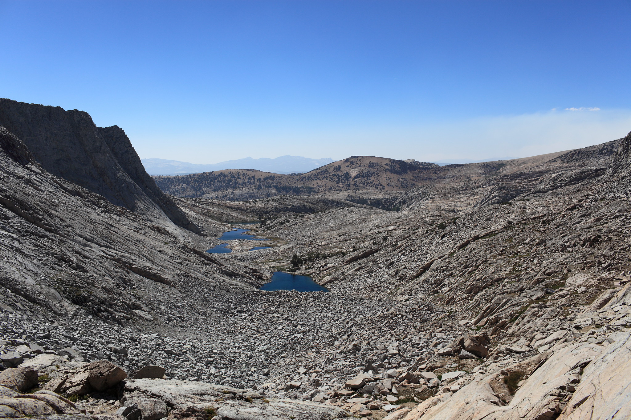
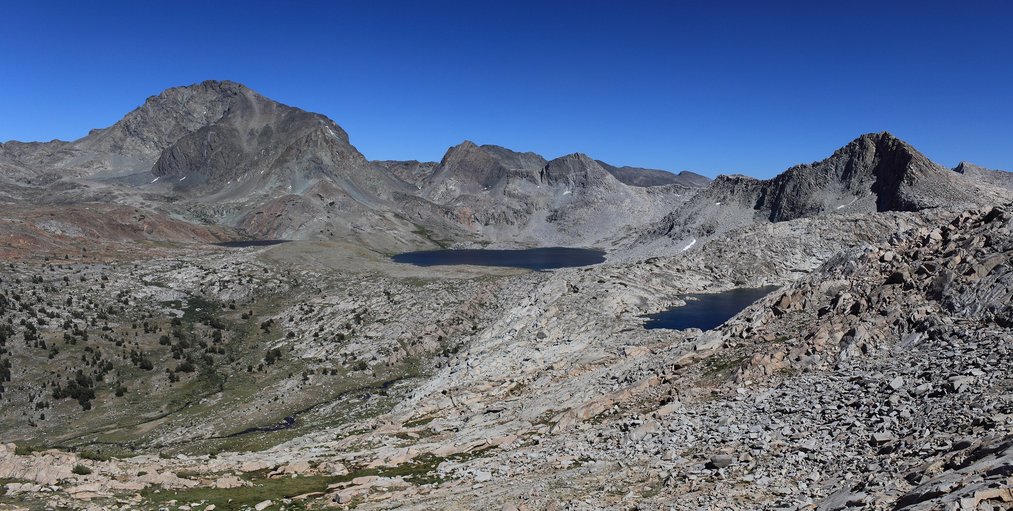
ROUTE DESCRIPTION: If moving West to East go around the Hockey Lakes on their North shores. This involves allot of talus hoping on the final lake. Take the slabs of rock and cross the talus pile on it's shortest section on the left aiming straight up at the slabs of rocks. Hidden in this area is many grassy ramps of terrain that allow you to bypass allot of nasty talus hoping. hug the rock faces alternating between hidden grass ramps and some talus hoping. The last push to the pass is a cut that also has plenty of grass.
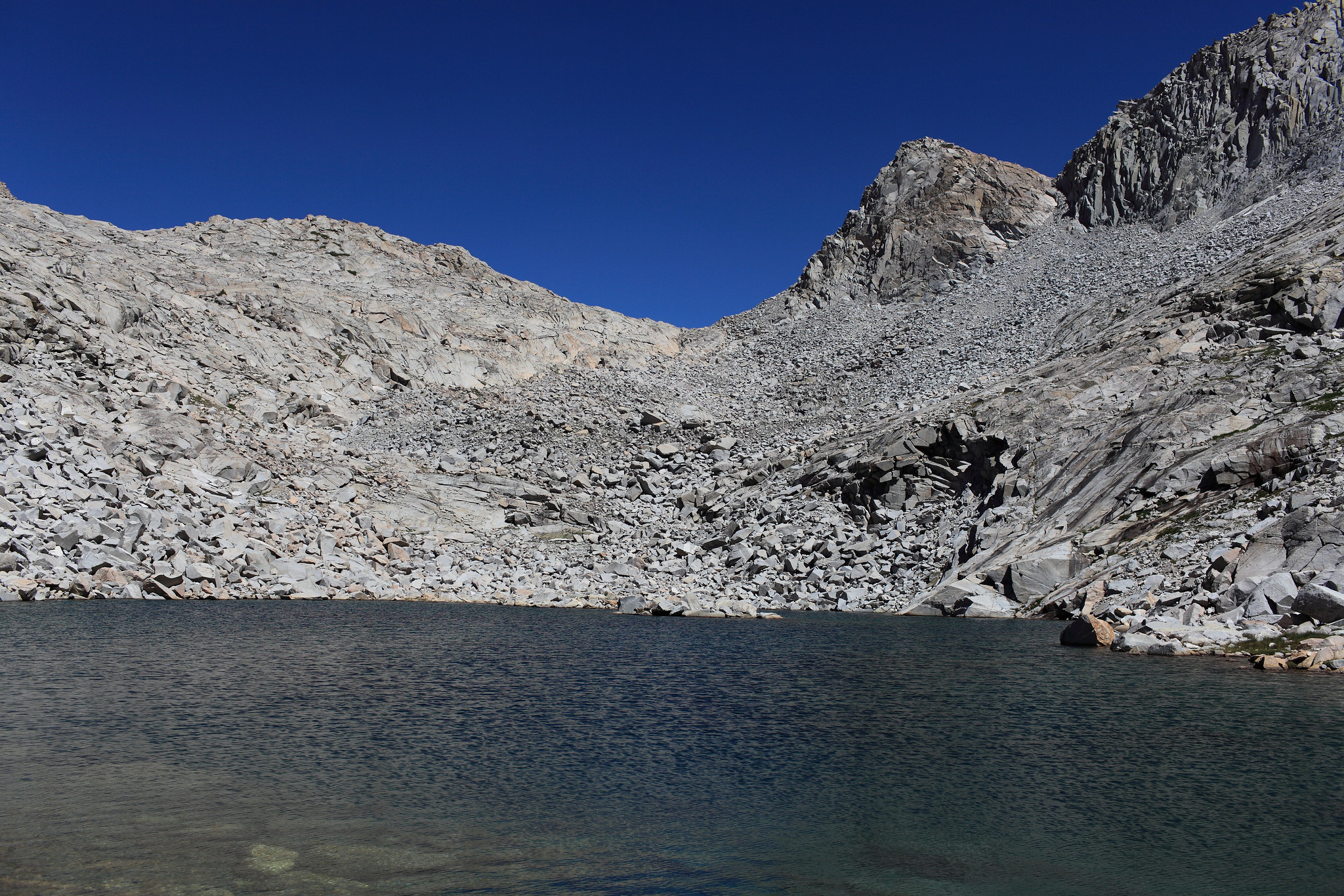
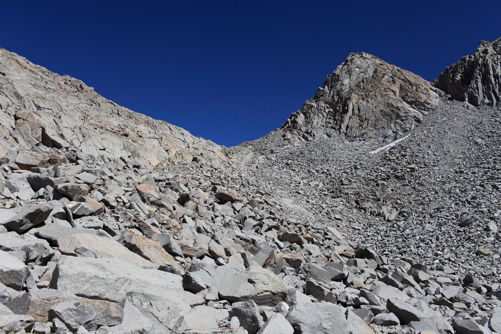
The East side of the pass is a mess of some what steep granite slabs lined with some loose small rock. You just have to zig zag your way through the best you can until it's much easier to either drop into Goddard Canyon or make the easy traverse to Lake Confusion

GENERAL OVERVIEW: This Pass marks the boarder line of Kings Canyon National Park and Sierra National Forest between the Hockey Lakes and Goddard Canyon near Lake Confusion
CLASS/DIFFICULTY: Class 2
LOCATION: The low saddle North West of Lake Confusion near the head of Goddard Canyon HST Map
ELEVATION: 11,650
USGS TOPO MAP (7.5'): Blackcap Mountain
ROUTE DESCRIPTION: If moving West to East go around the Hockey Lakes on their North shores. This involves allot of talus hoping on the final lake. Take the slabs of rock and cross the talus pile on it's shortest section on the left aiming straight up at the slabs of rocks. Hidden in this area is many grassy ramps of terrain that allow you to bypass allot of nasty talus hoping. hug the rock faces alternating between hidden grass ramps and some talus hoping. The last push to the pass is a cut that also has plenty of grass.
The East side of the pass is a mess of some what steep granite slabs lined with some loose small rock. You just have to zig zag your way through the best you can until it's much easier to either drop into Goddard Canyon or make the easy traverse to Lake Confusion