GENERAL OVERVIEW: This Pass crosses the low saddle between Isosceles Peak and Columbine Peak crossing between Dusy and Palisade Basin's.
CLASS/DIFFICULTY: Class 3
LOCATION: Kings Canyon National Park, the low saddle between Isosceles Peak and Columbine Peak HST Map
ELEVATION: 12,100
USGS TOPO MAP (7.5'): North Palisade
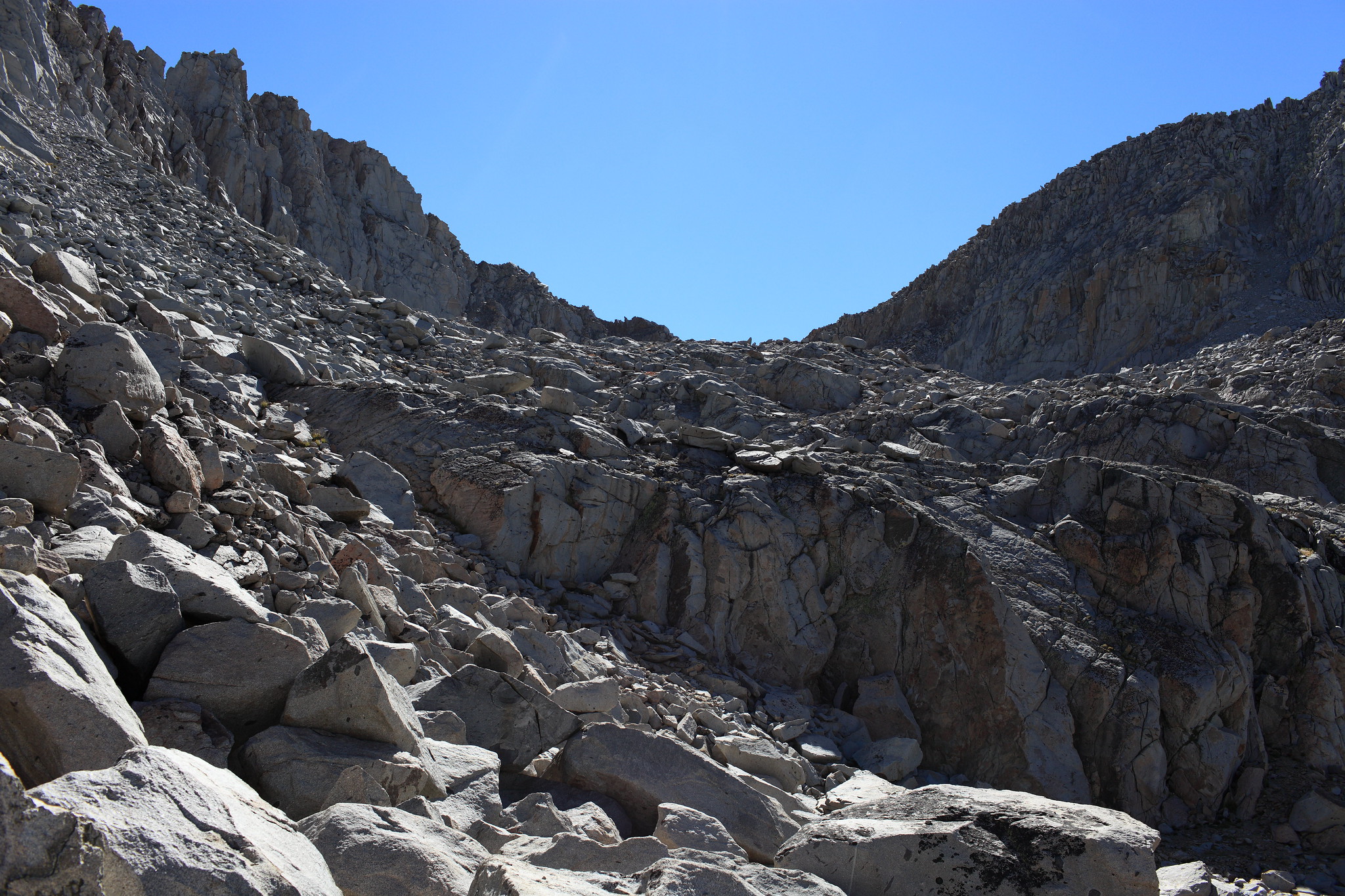
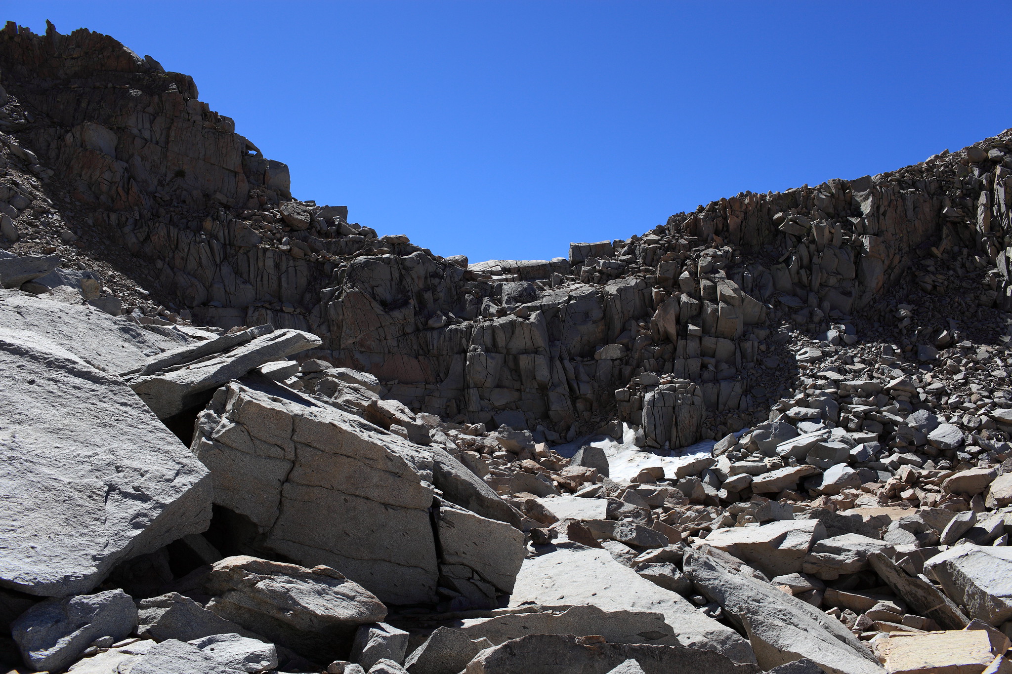
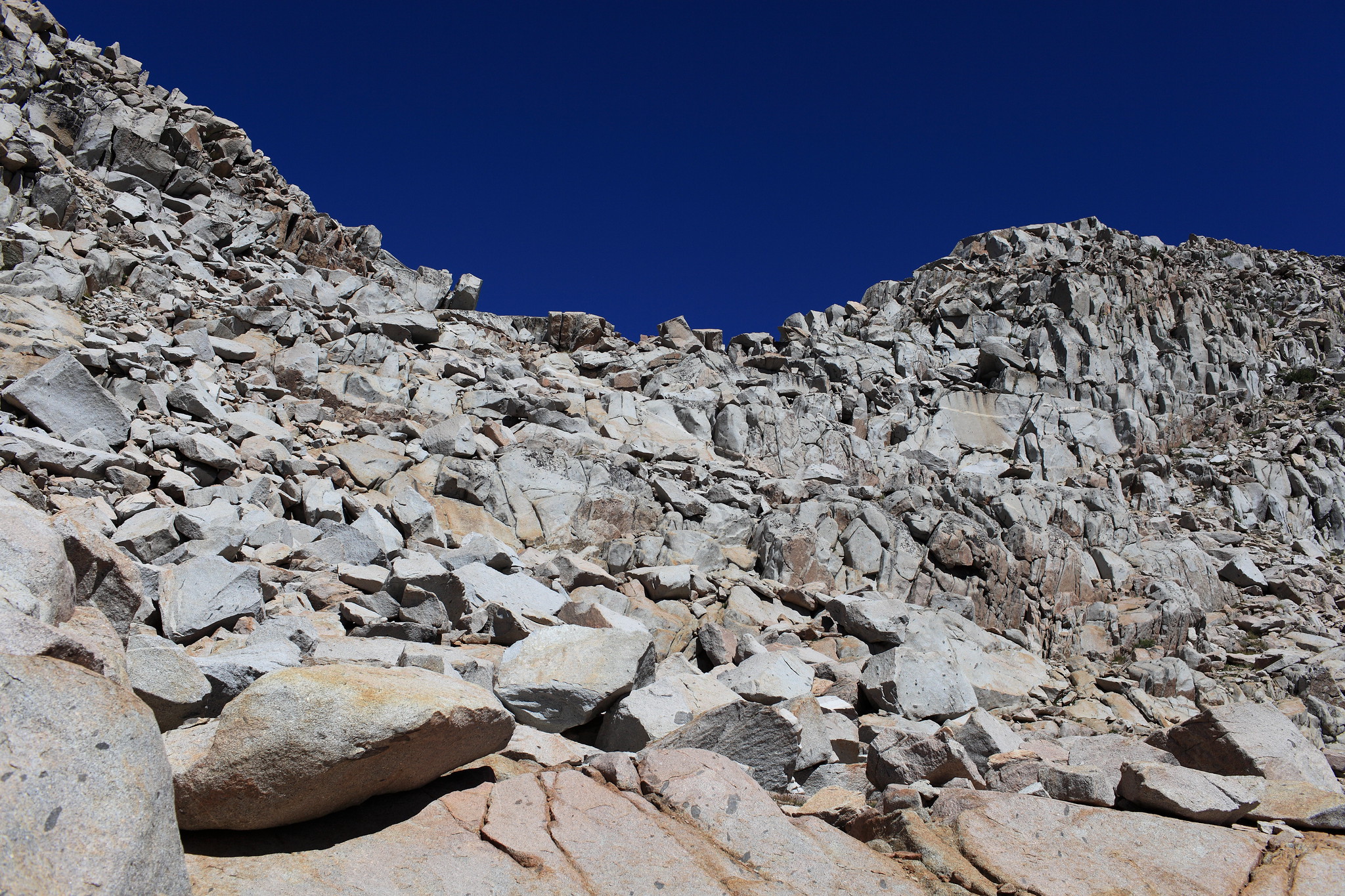
ROUTE DESCRIPTION: From the Dusy Basin side start by climbing a steep narrow hillside on it's left side which will quickly turn into tedious talus hoping as it takes you up and then curves to the right to the pass itself. When you reach the base of the pass most of it is lined by a small cliff. I went straight into it crossing a small ice field where a narrow section of slope could be taken up. This involved vertical class 3 blocks that requires hugging rocks on small narrow ledges.
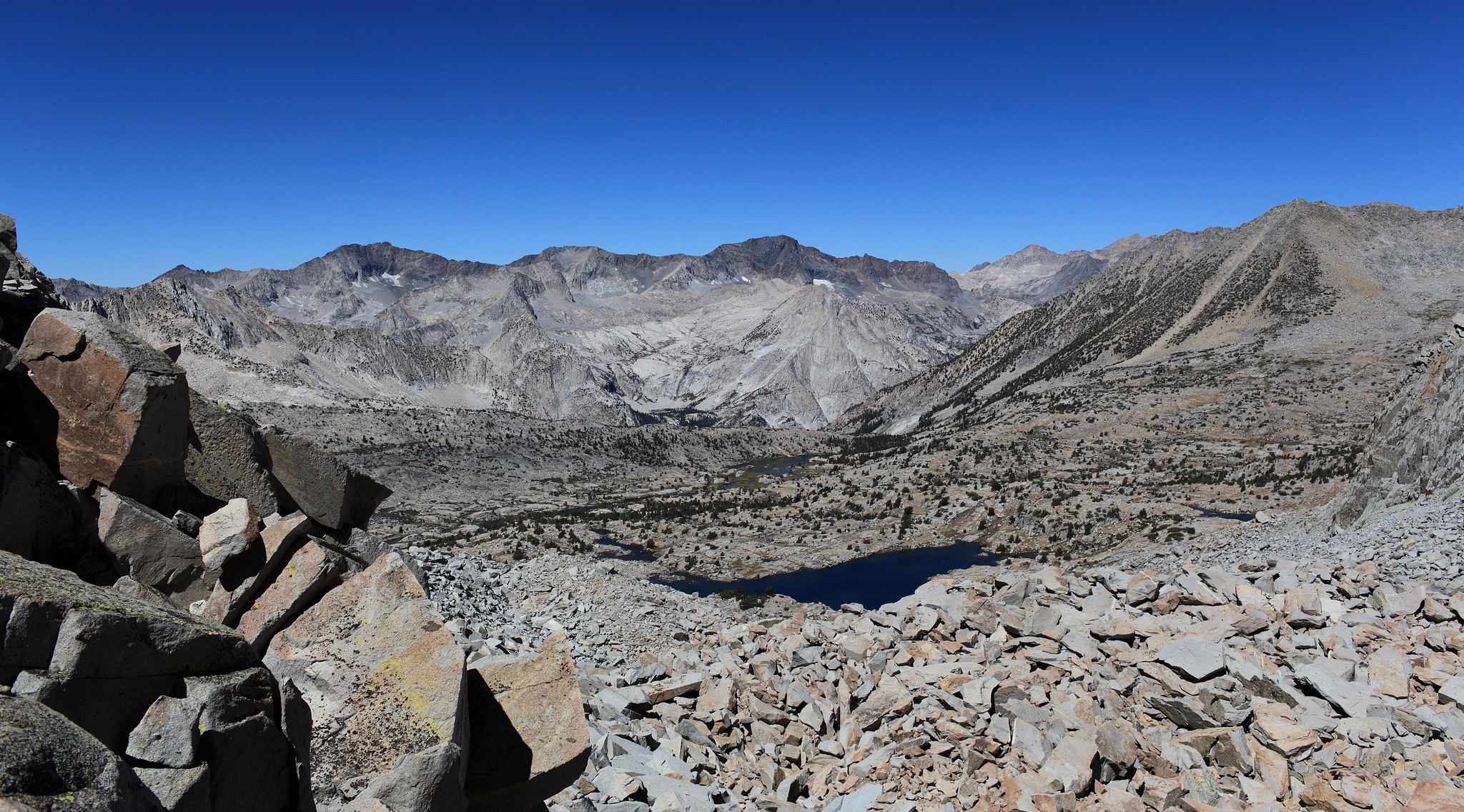
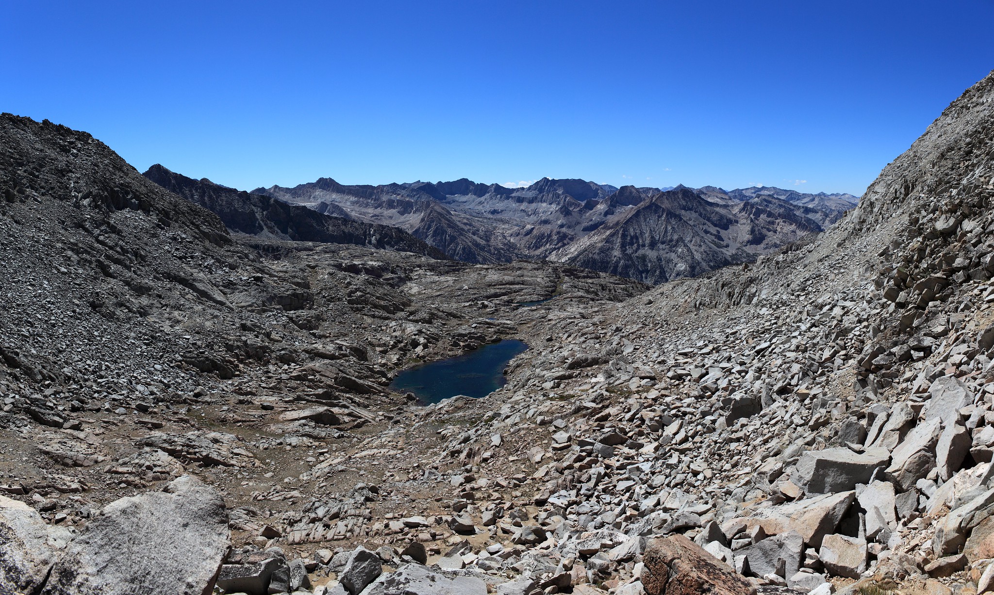
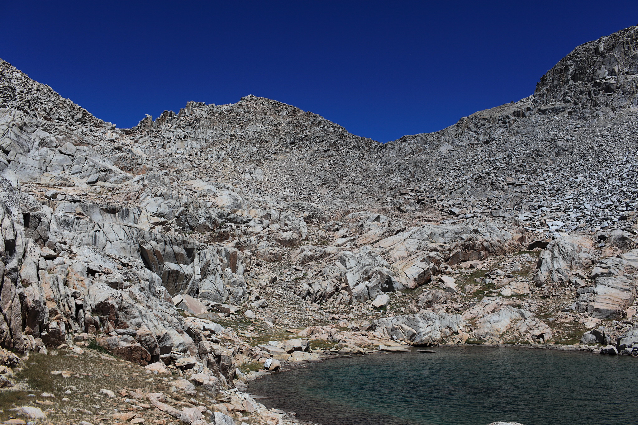
The South side is much easier with if any small easy bits of class 3. Aim slightly to the South West and then move down and South East to reach an easy run out slope to the small lake below.