Potluck Pass
Posted: Tue Sep 29, 2015 3:11 pm
TITLE: Potluck Pass
GENERAL OVERVIEW: This pass leads between Palisade Basin and the Glacier Creek Drainage. It is part of the Sierra High Route
CLASS/DIFFICULTY: Class 2
LOCATION: Kings Canyon National Park directly to the Northwest of Lake 11,676 which drains Glacier Creek. HST Map
ELEVATION: 12,146
USGS TOPO MAP (7.5'): North Palisade
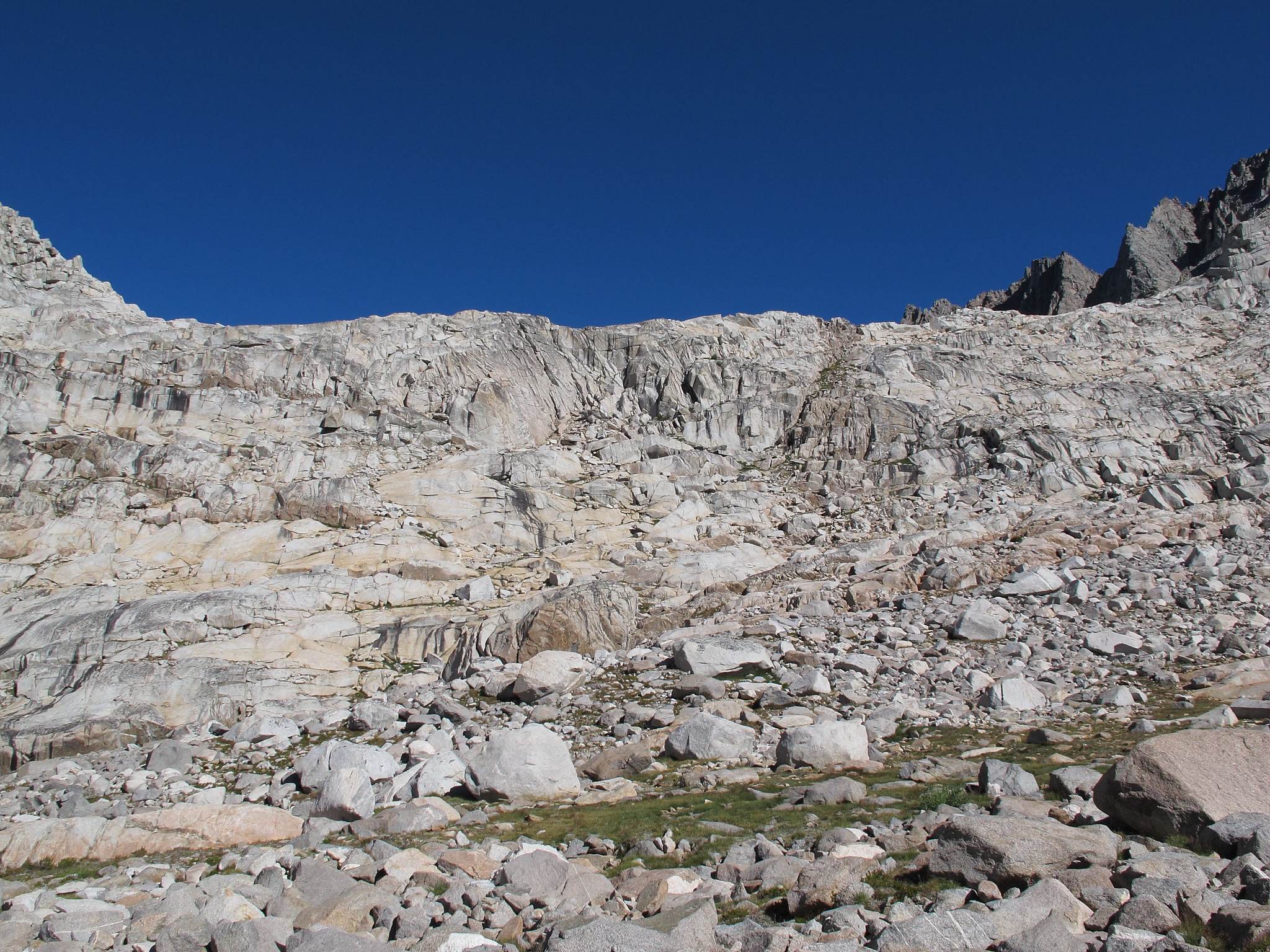
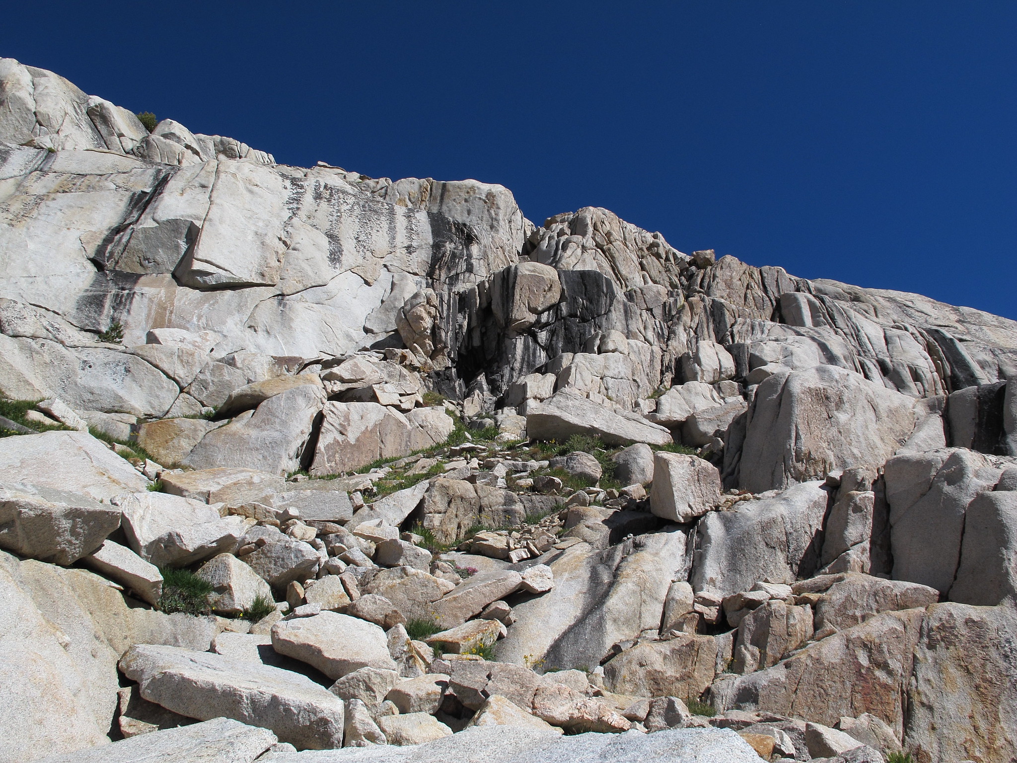
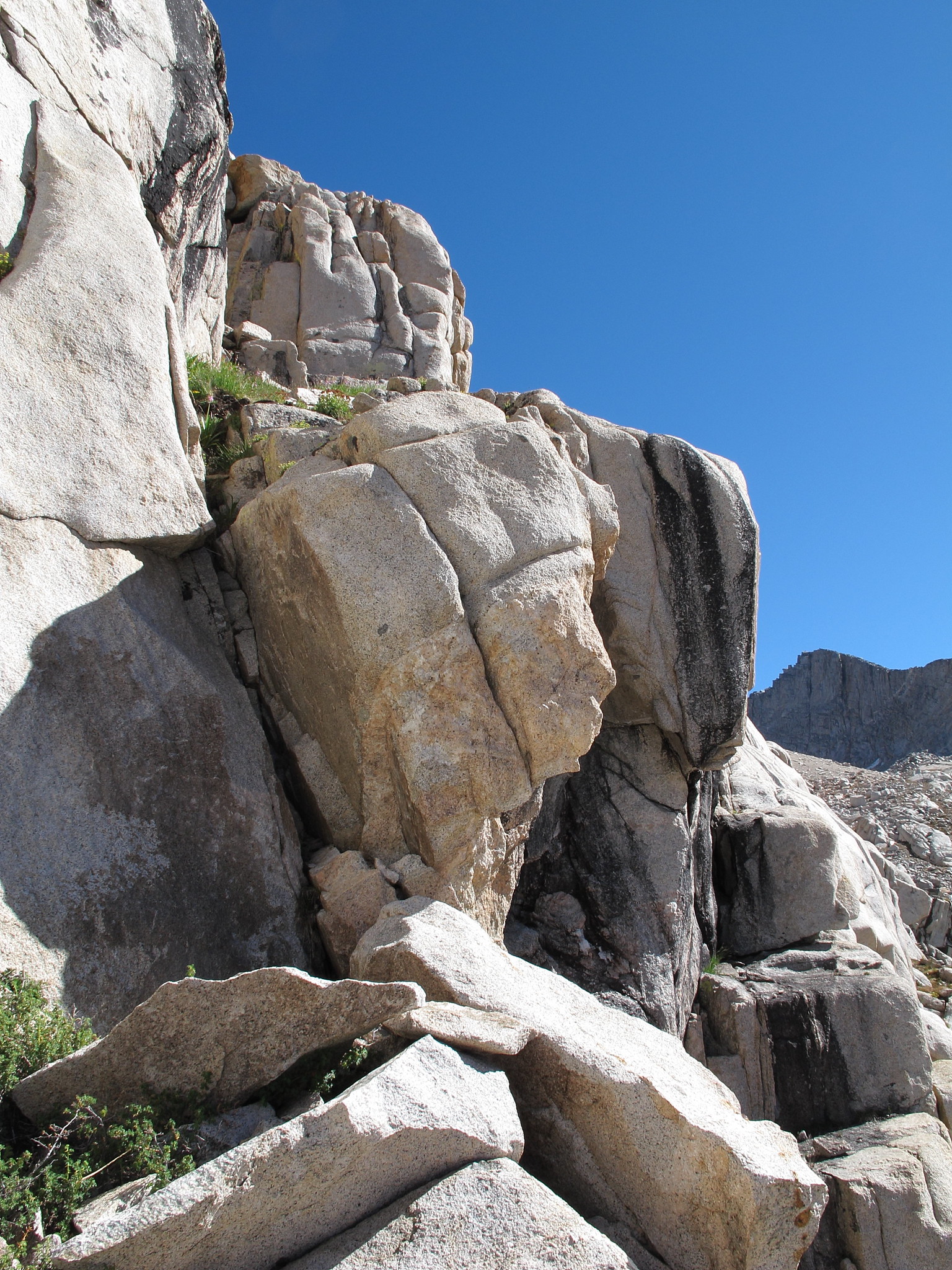
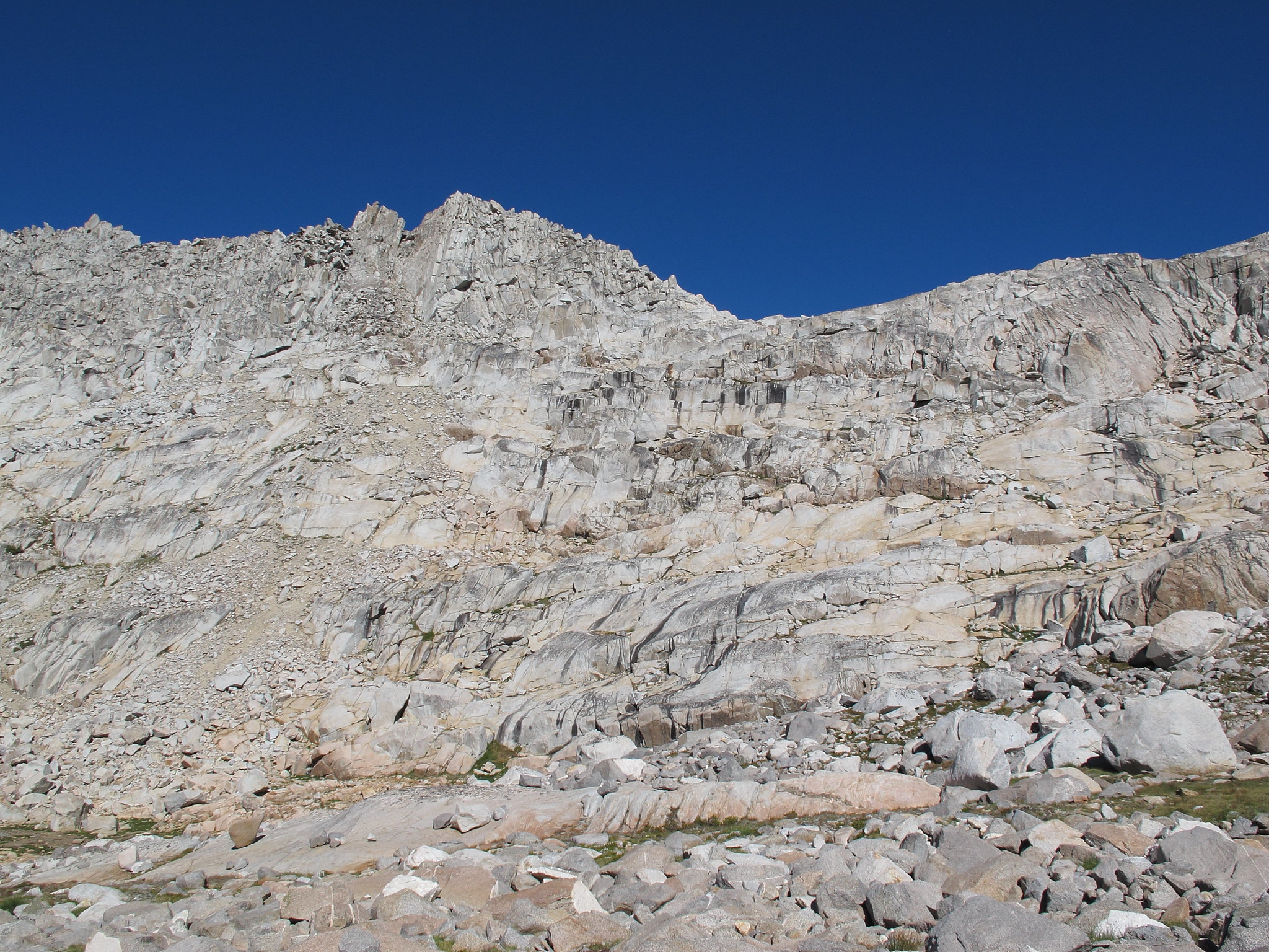
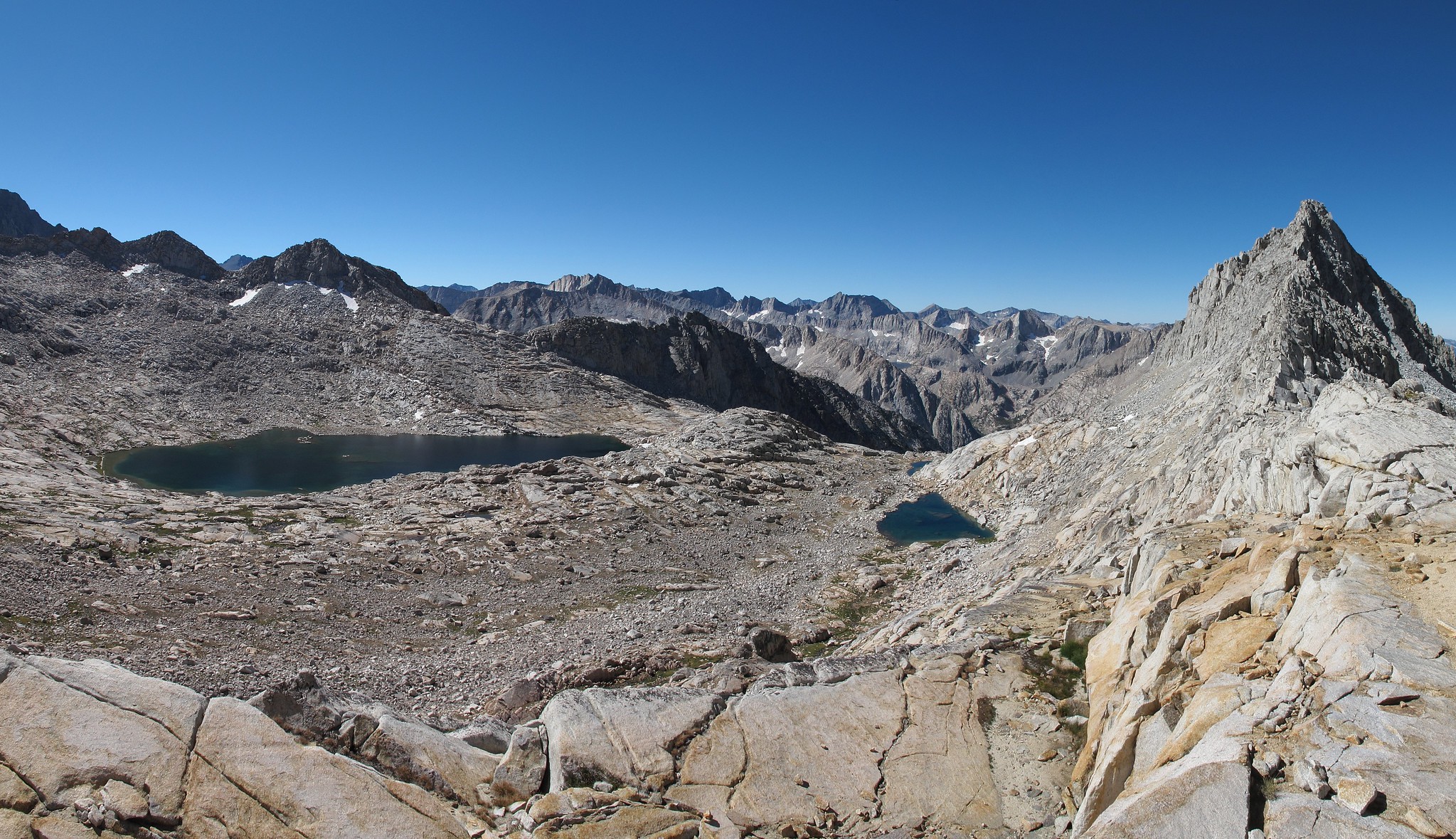
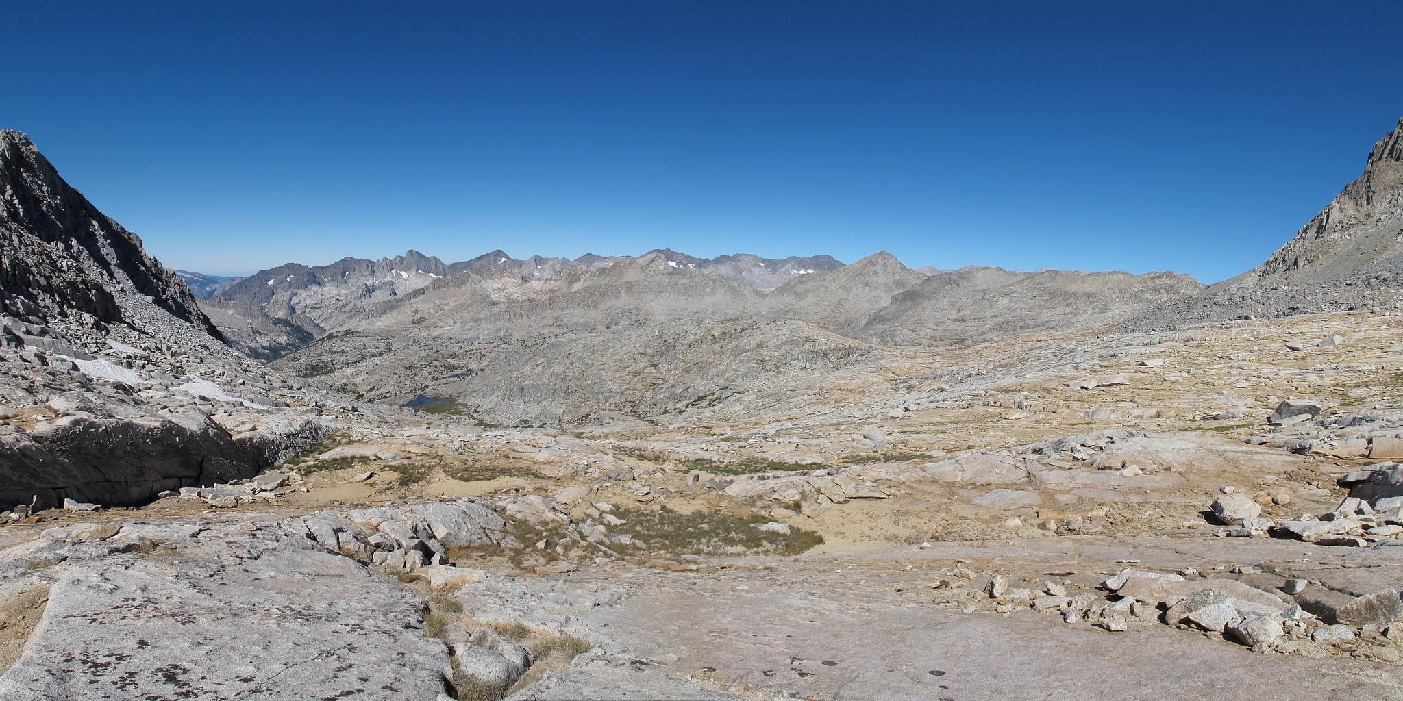
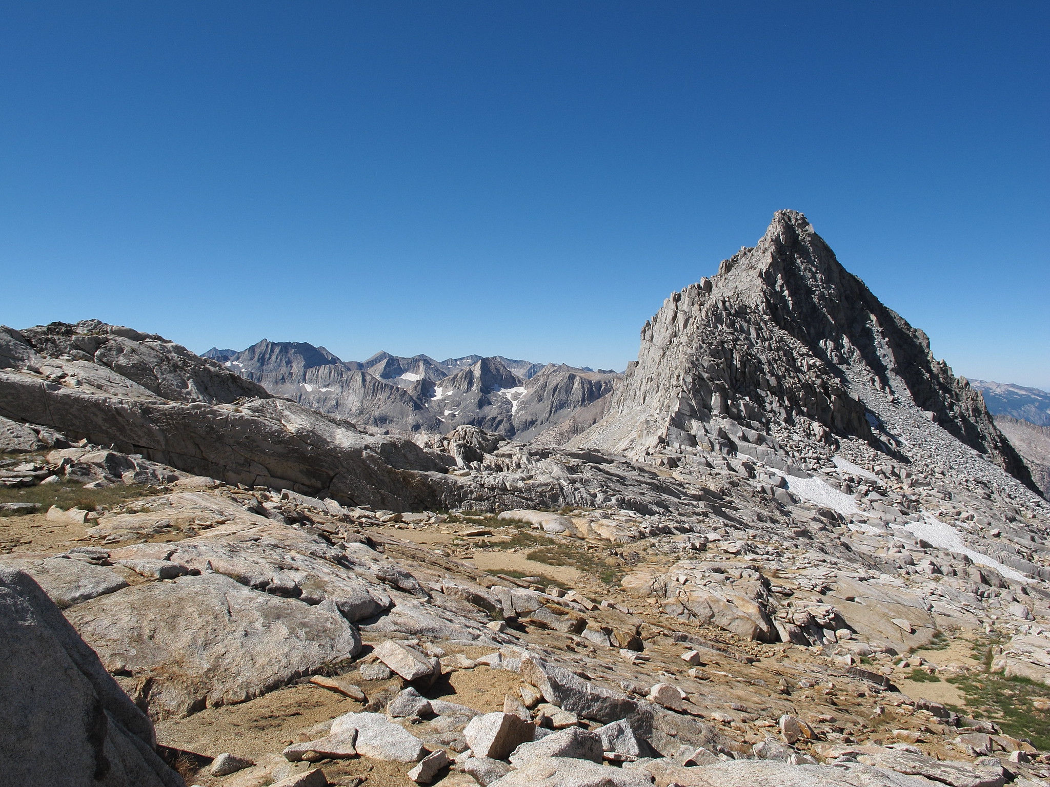
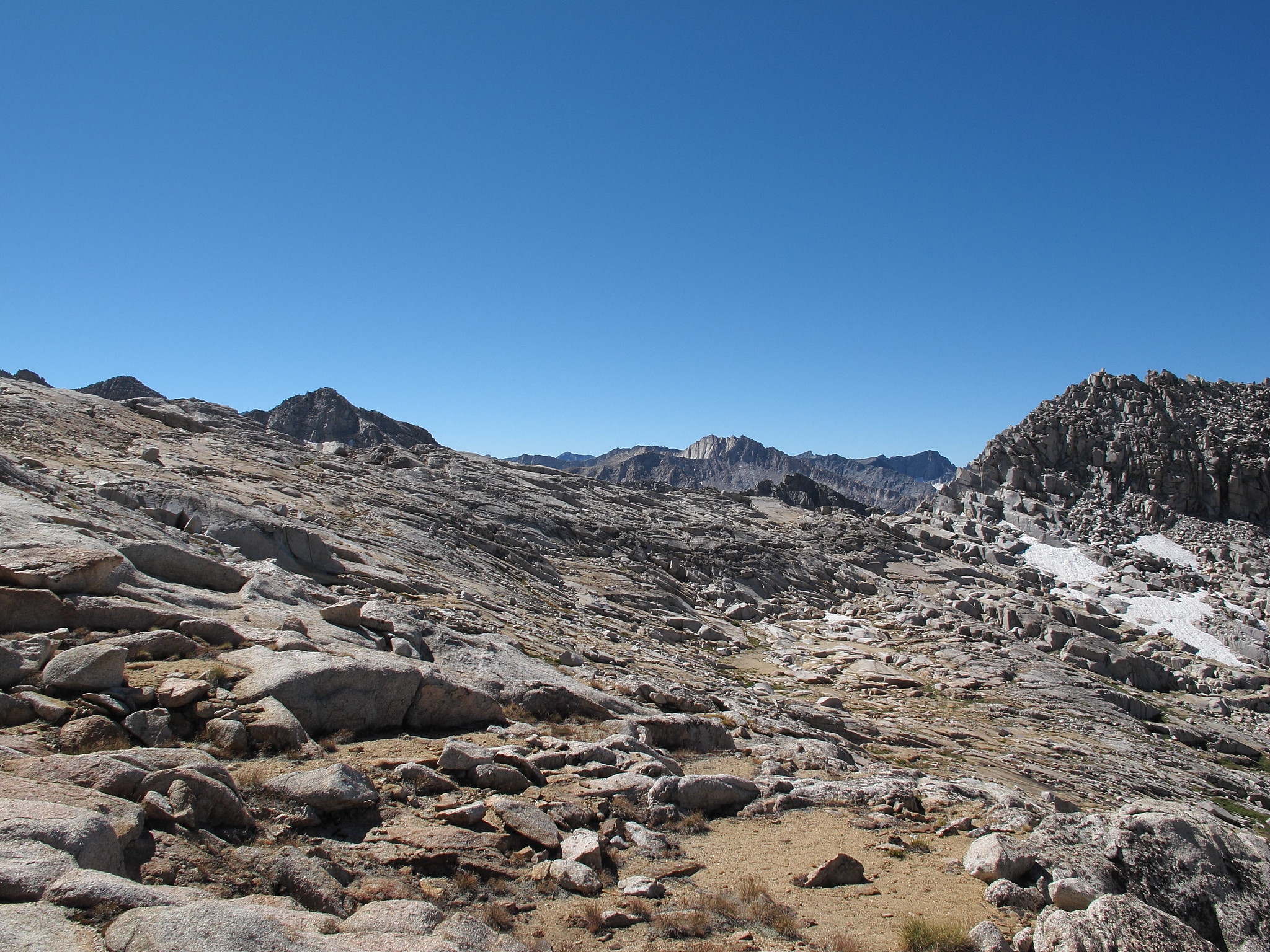
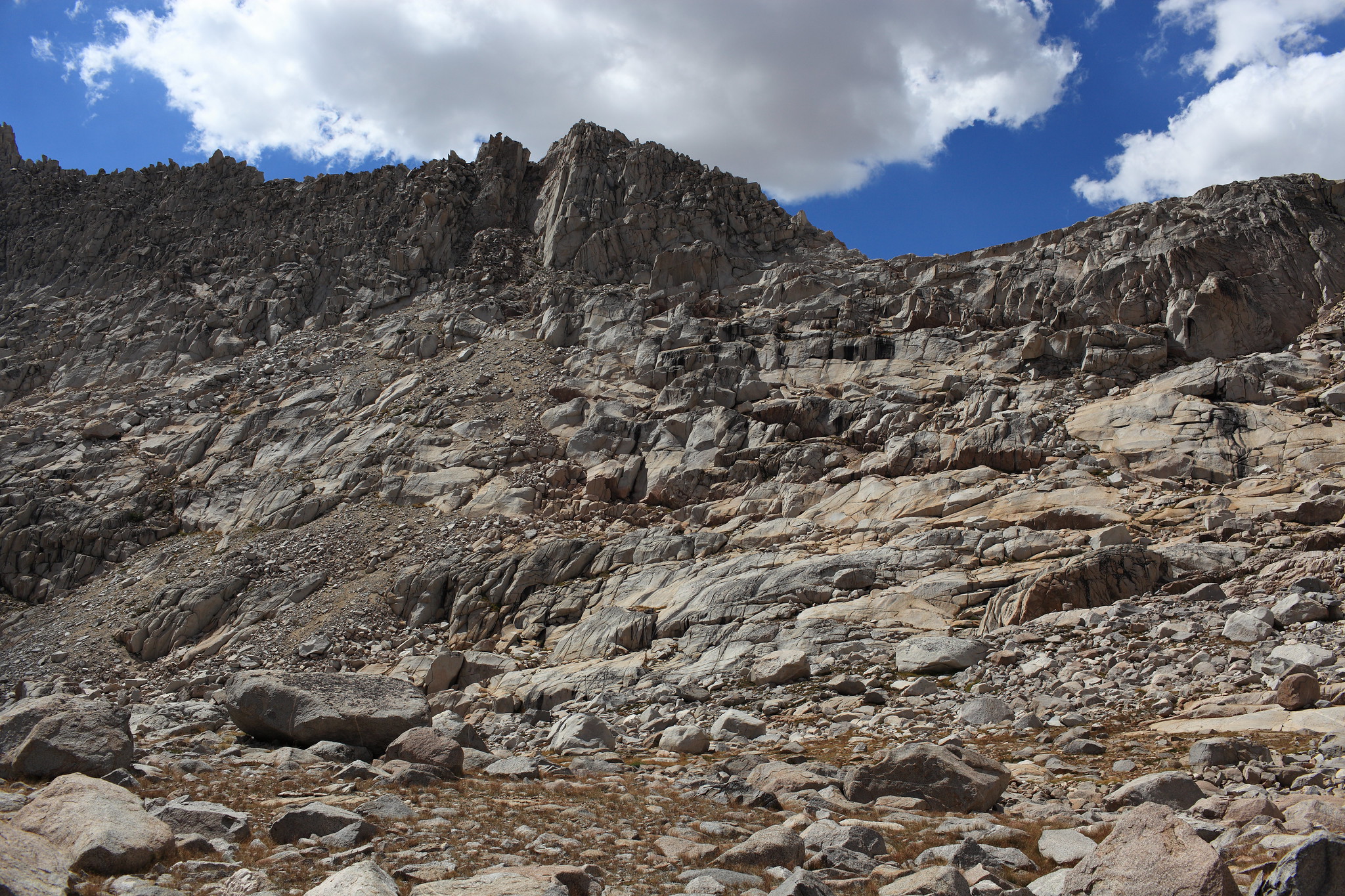
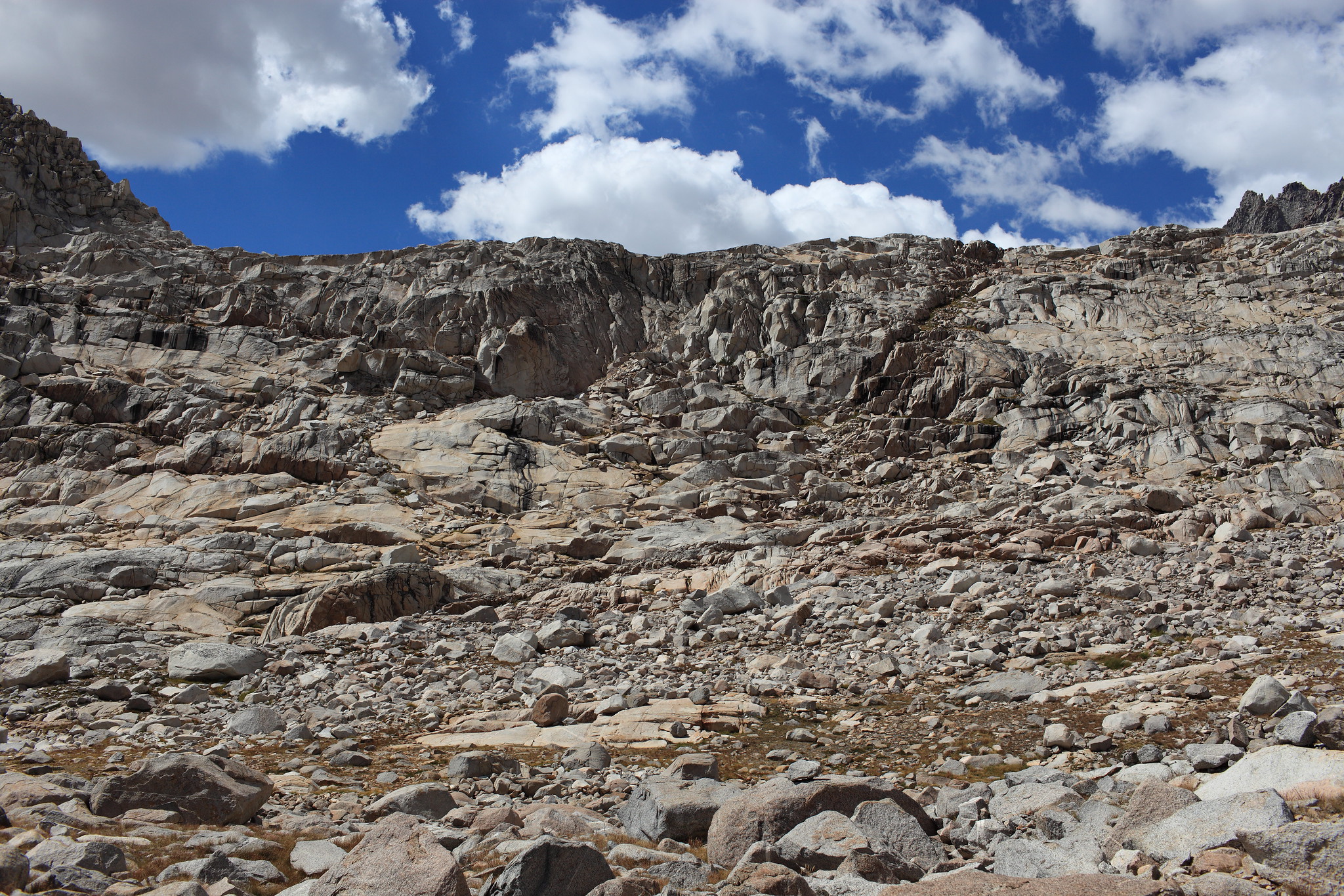
ROUTE DESCRIPTION: The West side of this pass is straightforward and follows along easy benches from the Barrett Lakes. The top of this pass one needs to contour around small micro-cliffs but finding a Class 2 route should not be difficult.
The East side of this pass actually have a very distinct sandy use trail that starts slightly to the South of the actual pass. Follow the use trail down to where it peters out and then you follow along some ledges and benches until you hit grassy slopes leading down to Lake 11,676.
GENERAL OVERVIEW: This pass leads between Palisade Basin and the Glacier Creek Drainage. It is part of the Sierra High Route
CLASS/DIFFICULTY: Class 2
LOCATION: Kings Canyon National Park directly to the Northwest of Lake 11,676 which drains Glacier Creek. HST Map
ELEVATION: 12,146
USGS TOPO MAP (7.5'): North Palisade
ROUTE DESCRIPTION: The West side of this pass is straightforward and follows along easy benches from the Barrett Lakes. The top of this pass one needs to contour around small micro-cliffs but finding a Class 2 route should not be difficult.
The East side of this pass actually have a very distinct sandy use trail that starts slightly to the South of the actual pass. Follow the use trail down to where it peters out and then you follow along some ledges and benches until you hit grassy slopes leading down to Lake 11,676.