Red Pass
Posted: Sun Aug 30, 2015 10:33 am
TITLE: Red Pass
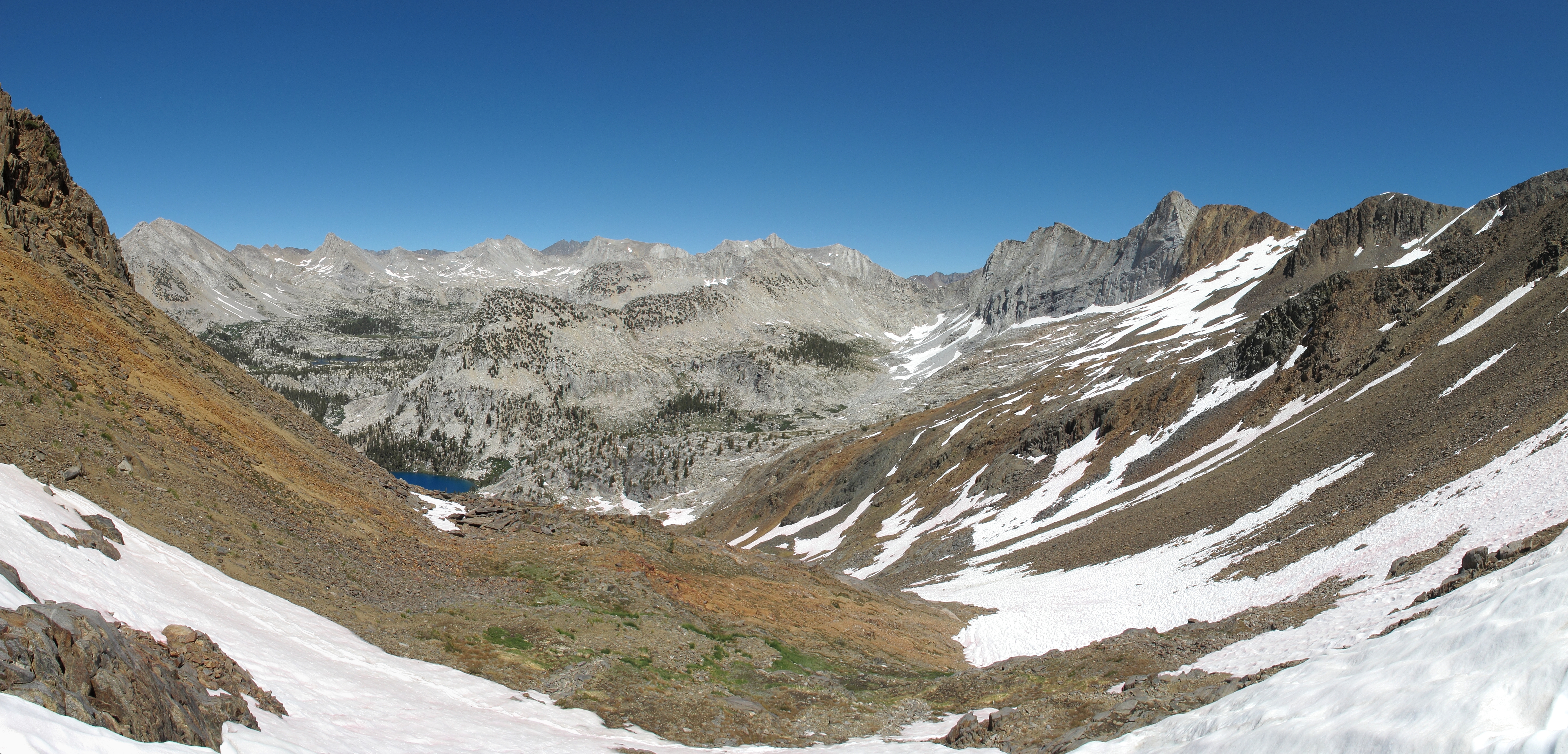
GENERAL OVERVIEW: This pass leads from Marion Lake to the South Fork Cataract Creek drainage basin in conjunction with White Pass. This is on the Sierra High Route.
CLASS/DIFFICULTY: Class 2.
LOCATION: Kings Canyon National Park to the Southwest of Marion Lake. HST Map
ELEVATION: 11,580
USGS TOPO MAP (7.5'): Marion Peak
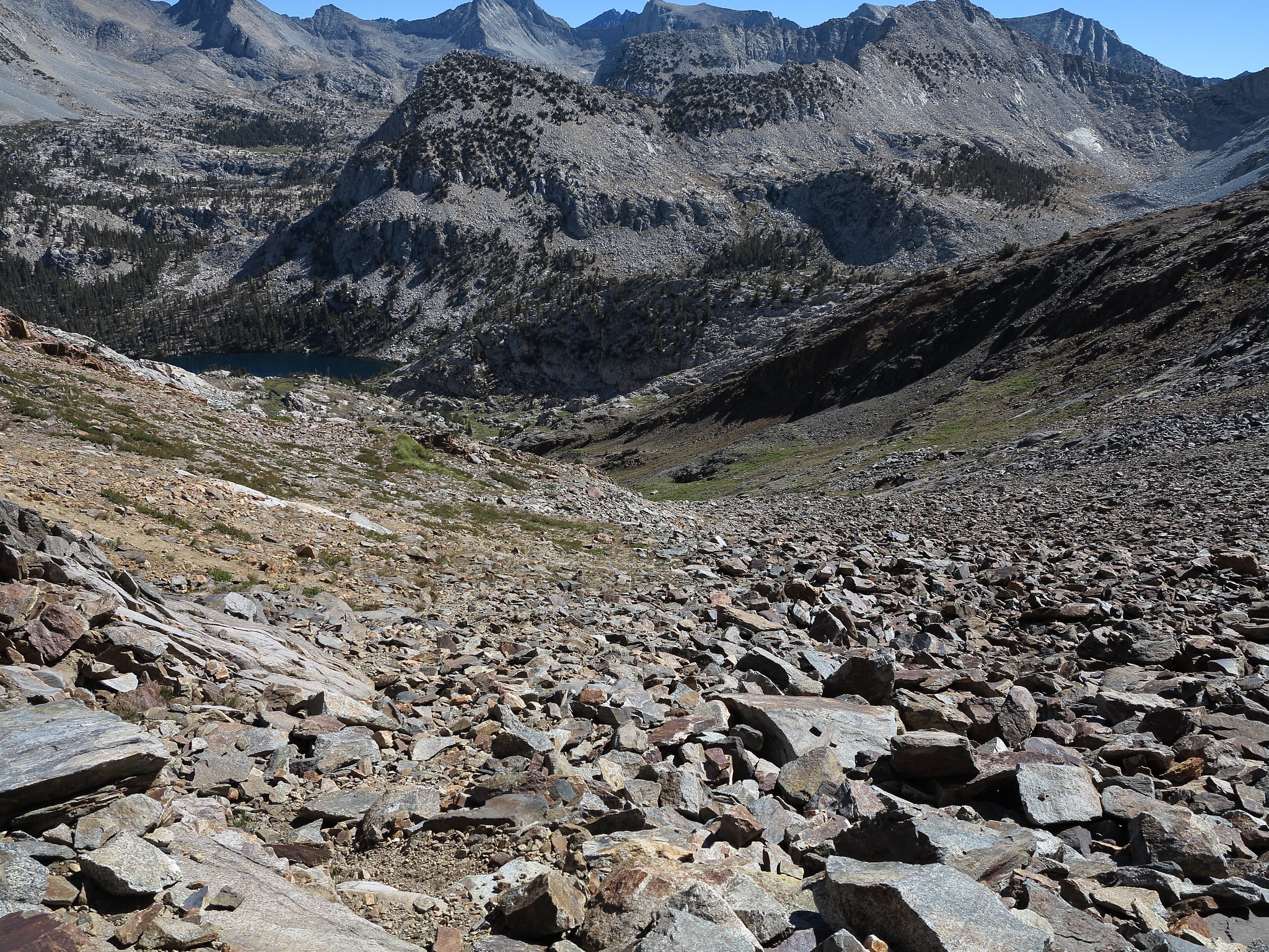
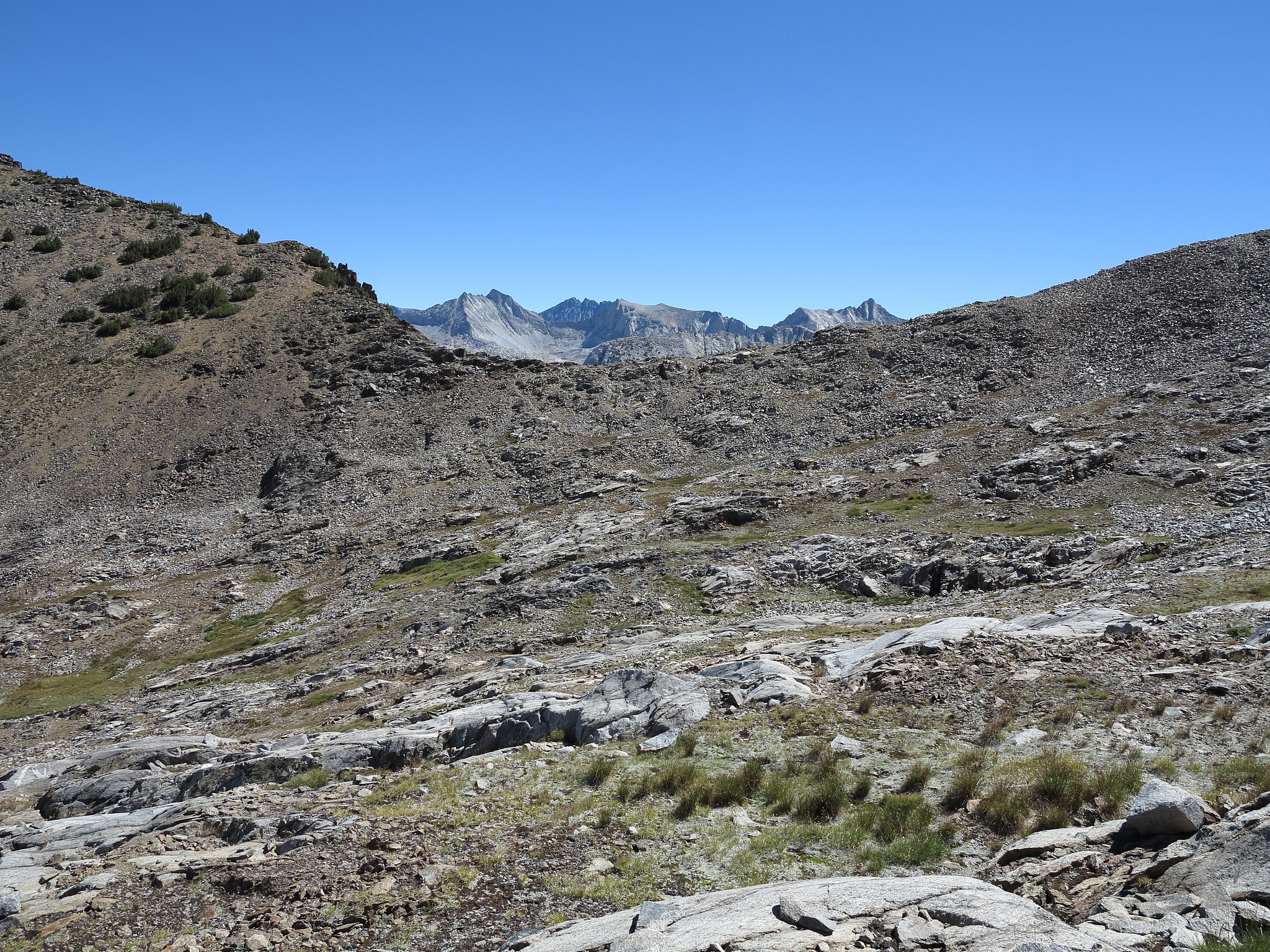
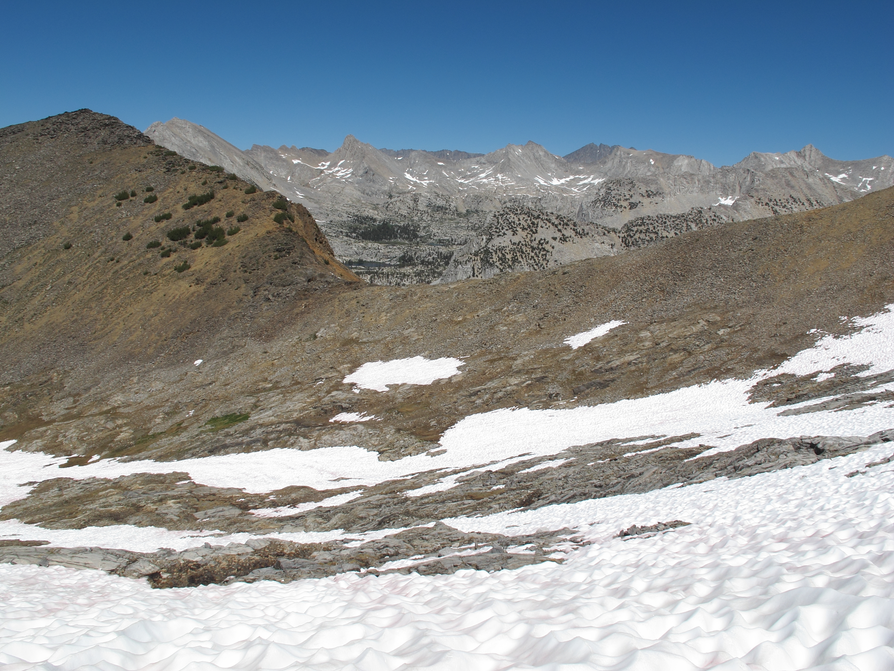
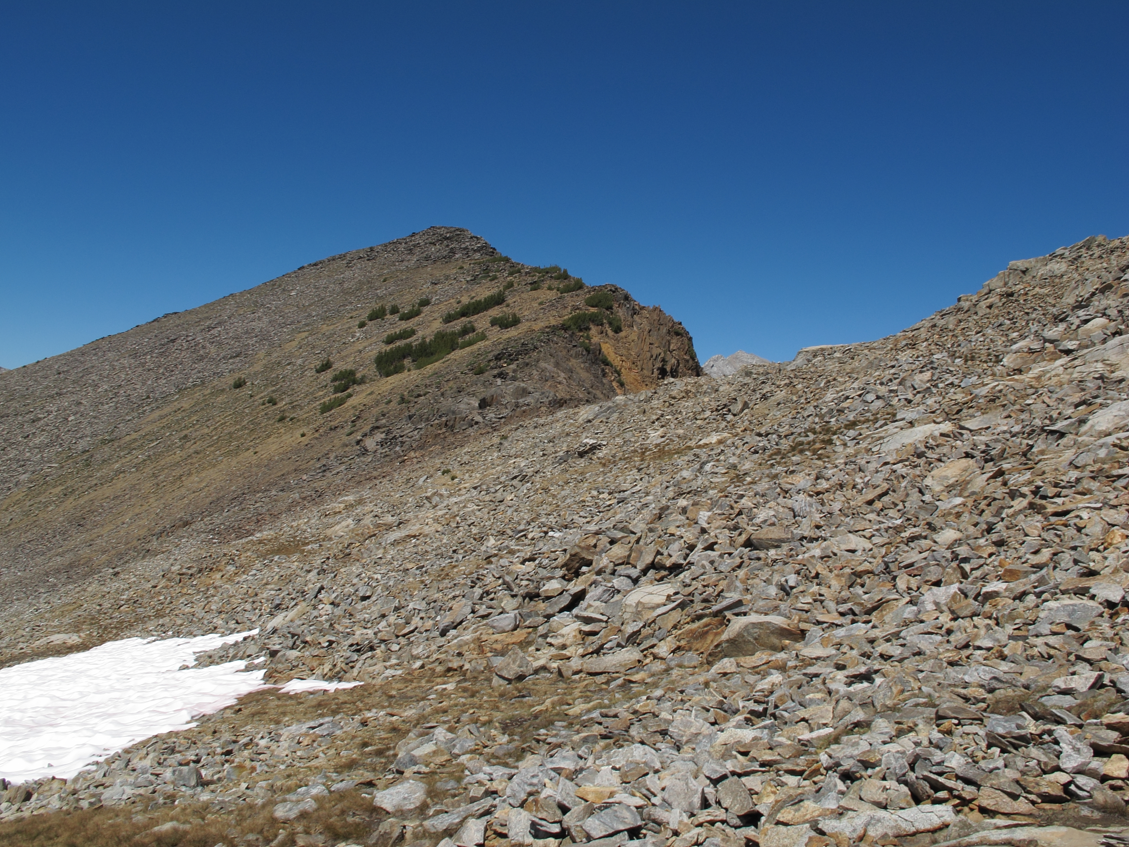
ROUTE DESCRIPTION: Both sides of this pass are easy Class 2 and involve nothing more than heading for the obvious saddle that is Red Pass. The terrain is mixed between small talus and benches of grass interspersed with some larger boulders. The East side of the pass from Marion Lake is reached by ascending the 3rd chute that is visible from the North side of the lake. This chute is the steepest and most obvious but there is an excellent use trail that goes all the way to the top of the chute.
GENERAL OVERVIEW: This pass leads from Marion Lake to the South Fork Cataract Creek drainage basin in conjunction with White Pass. This is on the Sierra High Route.
CLASS/DIFFICULTY: Class 2.
LOCATION: Kings Canyon National Park to the Southwest of Marion Lake. HST Map
ELEVATION: 11,580
USGS TOPO MAP (7.5'): Marion Peak
ROUTE DESCRIPTION: Both sides of this pass are easy Class 2 and involve nothing more than heading for the obvious saddle that is Red Pass. The terrain is mixed between small talus and benches of grass interspersed with some larger boulders. The East side of the pass from Marion Lake is reached by ascending the 3rd chute that is visible from the North side of the lake. This chute is the steepest and most obvious but there is an excellent use trail that goes all the way to the top of the chute.