Cinder Col
Posted: Wed Jan 07, 2015 7:58 pm
GENERAL OVERVIEW: This pass leads between Brewer Creek and the upper Cirque of Cunningham Creek containing South Guard Lake
CLASS/DIFFICULTY: Class 2
LOCATION: Kings Canyon National Park HST Map
ELEVATION: 12,060
USGS TOPO MAP (7.5'): Mt. Brewer
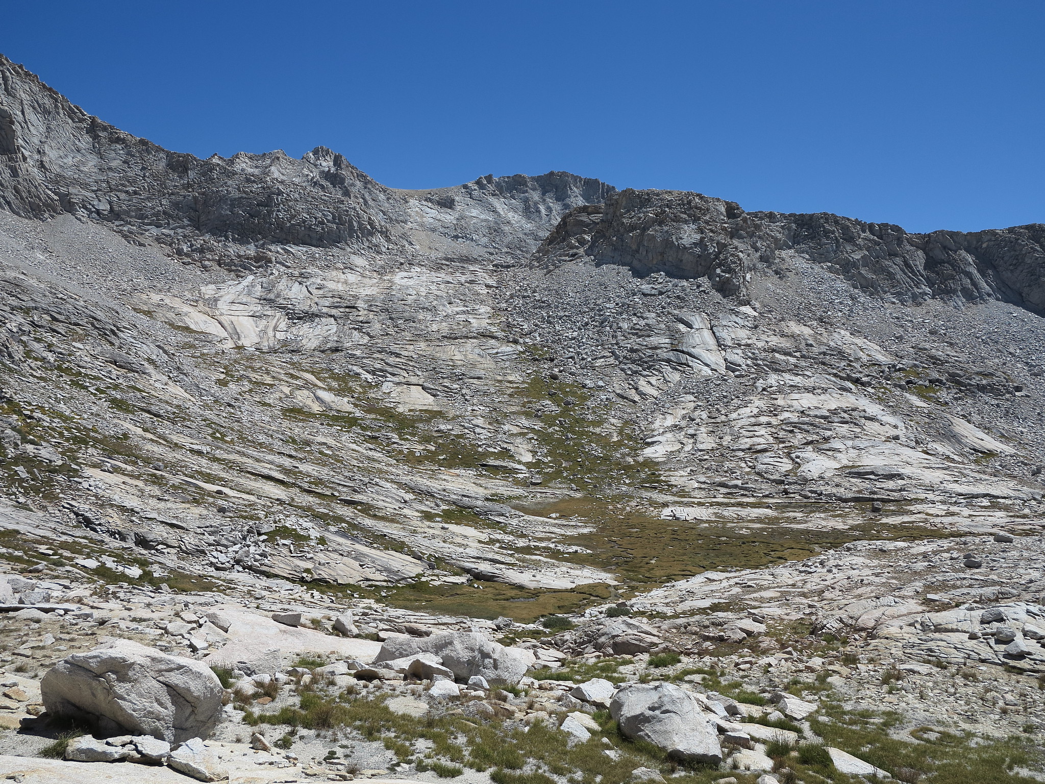
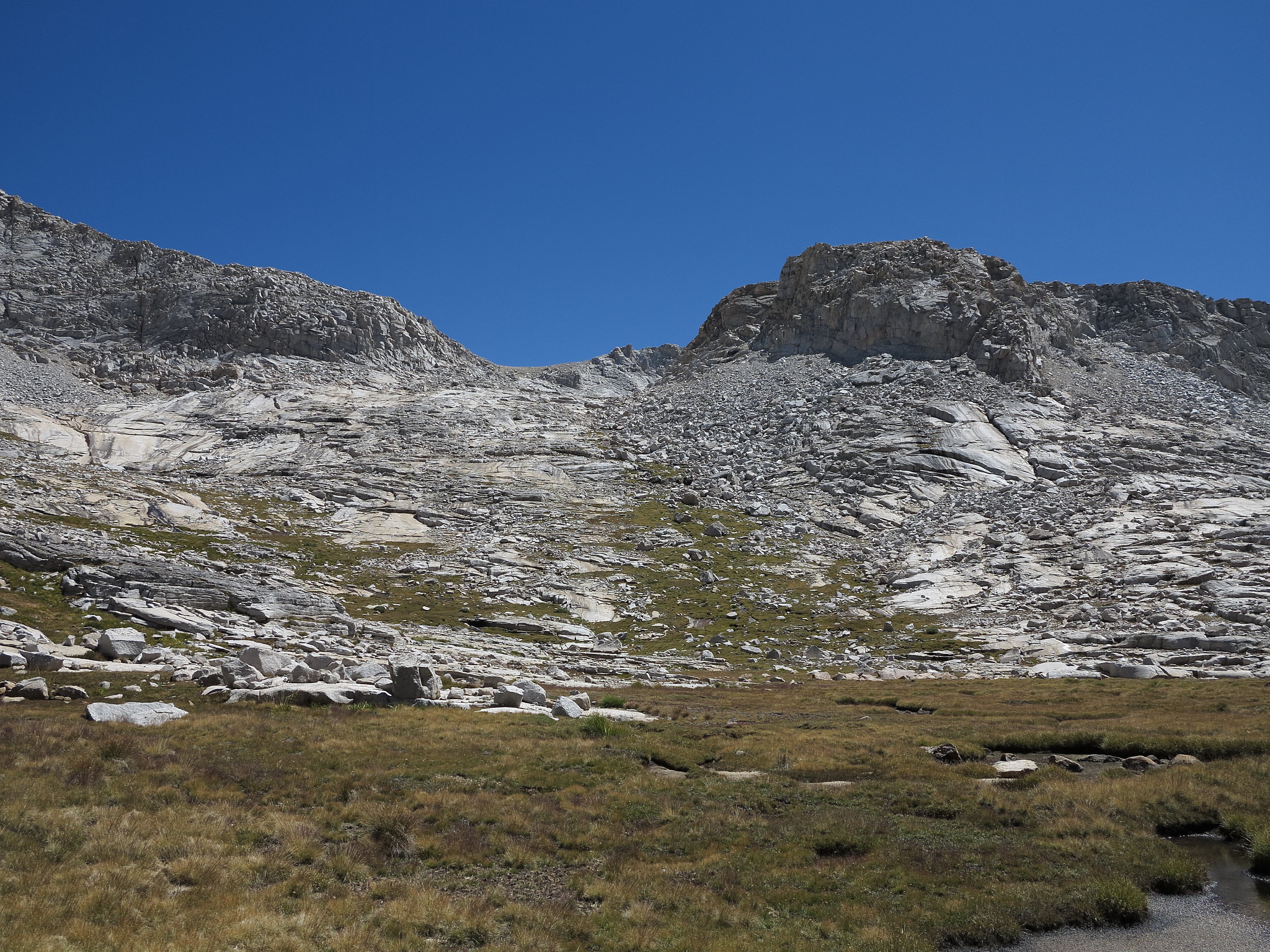
ROUTE DESCRIPTION: From Brewer Creek begin up grass slopes on the East side of the drainage coming down. This will turn to slabs. Continue on the slabs fairly close to the drainage the whole way. A couple shelves can easily be zig zagged up.
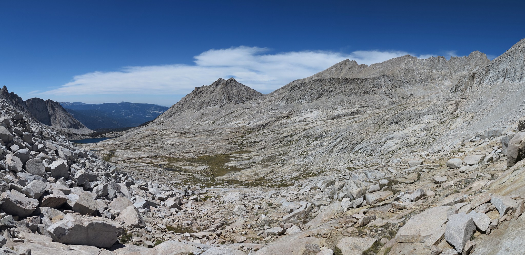
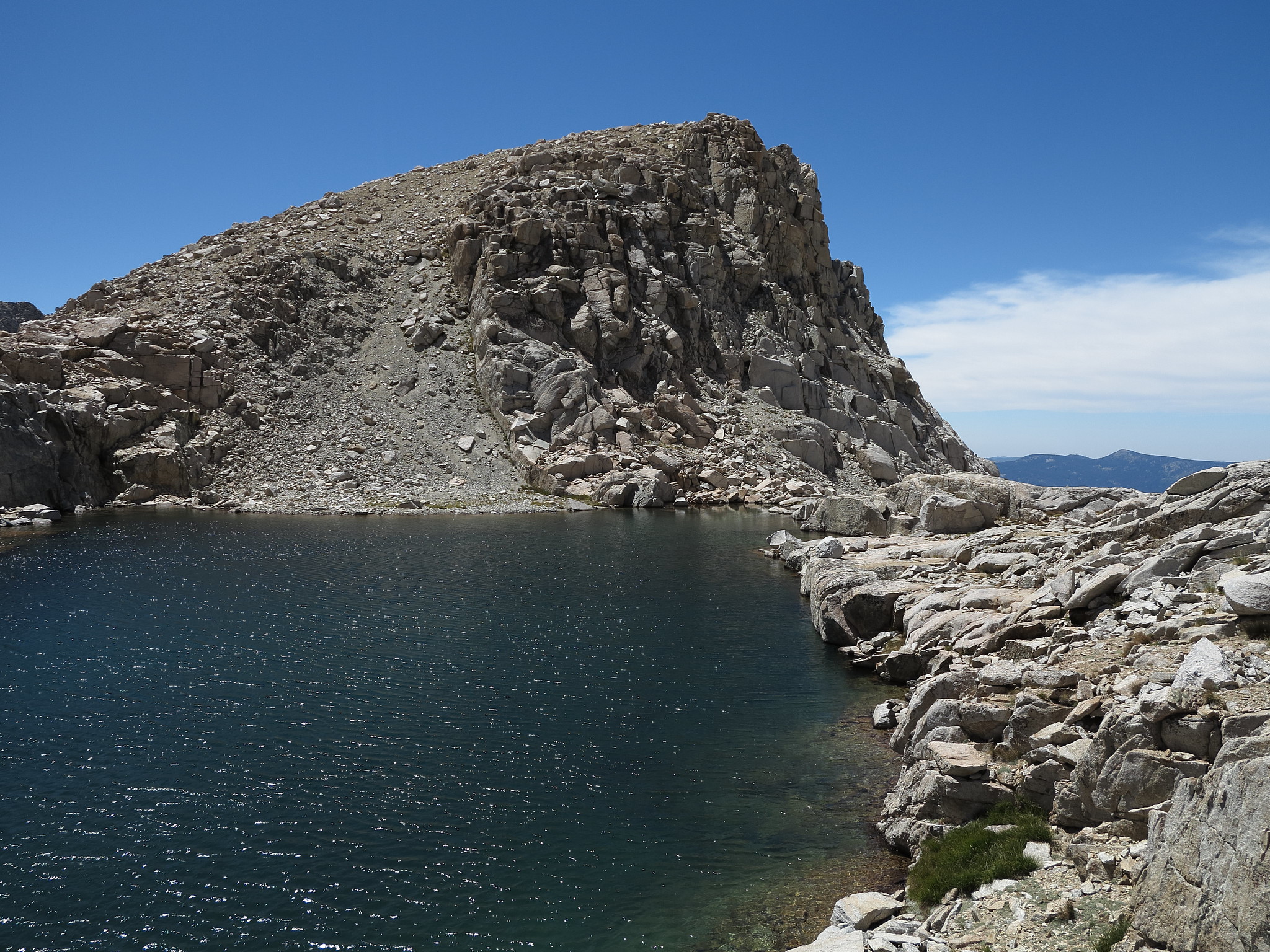
The top will have you at a small rugged lake that offers nice rock jumping locations. Either side of the lake can be navigated but if your headed for South Guard Lake you will have to choose carefully as the terrain here is a mix of small glacier cut ribs that can trap you between them. You can easily find yourself on high level class 3 or worse if you don't follow the right path. Unfortunately a detailed description through here is impossible.
Although either side of South Guard Lake can be taken I recommend the East side.
CLASS/DIFFICULTY: Class 2
LOCATION: Kings Canyon National Park HST Map
ELEVATION: 12,060
USGS TOPO MAP (7.5'): Mt. Brewer
ROUTE DESCRIPTION: From Brewer Creek begin up grass slopes on the East side of the drainage coming down. This will turn to slabs. Continue on the slabs fairly close to the drainage the whole way. A couple shelves can easily be zig zagged up.
The top will have you at a small rugged lake that offers nice rock jumping locations. Either side of the lake can be navigated but if your headed for South Guard Lake you will have to choose carefully as the terrain here is a mix of small glacier cut ribs that can trap you between them. You can easily find yourself on high level class 3 or worse if you don't follow the right path. Unfortunately a detailed description through here is impossible.
Although either side of South Guard Lake can be taken I recommend the East side.