Adventurer Pass (Unofficial)
Posted: Thu Aug 28, 2014 10:25 am
TITLE: Adventurer Pass (Unofficial)
GENERAL OVERVIEW: This pass leads between Palisade Creek and the drainage basin to the West of Mt. Shakespeare and Observation Peak.
CLASS/DIFFICULTY: Class 2
LOCATION: Kings Canyon National Park to the East of Peak 11,291 and directly North of Peak 10,523 HST Map
ELEVATION: 10,639
USGS TOPO MAP (7.5'): North Palisade
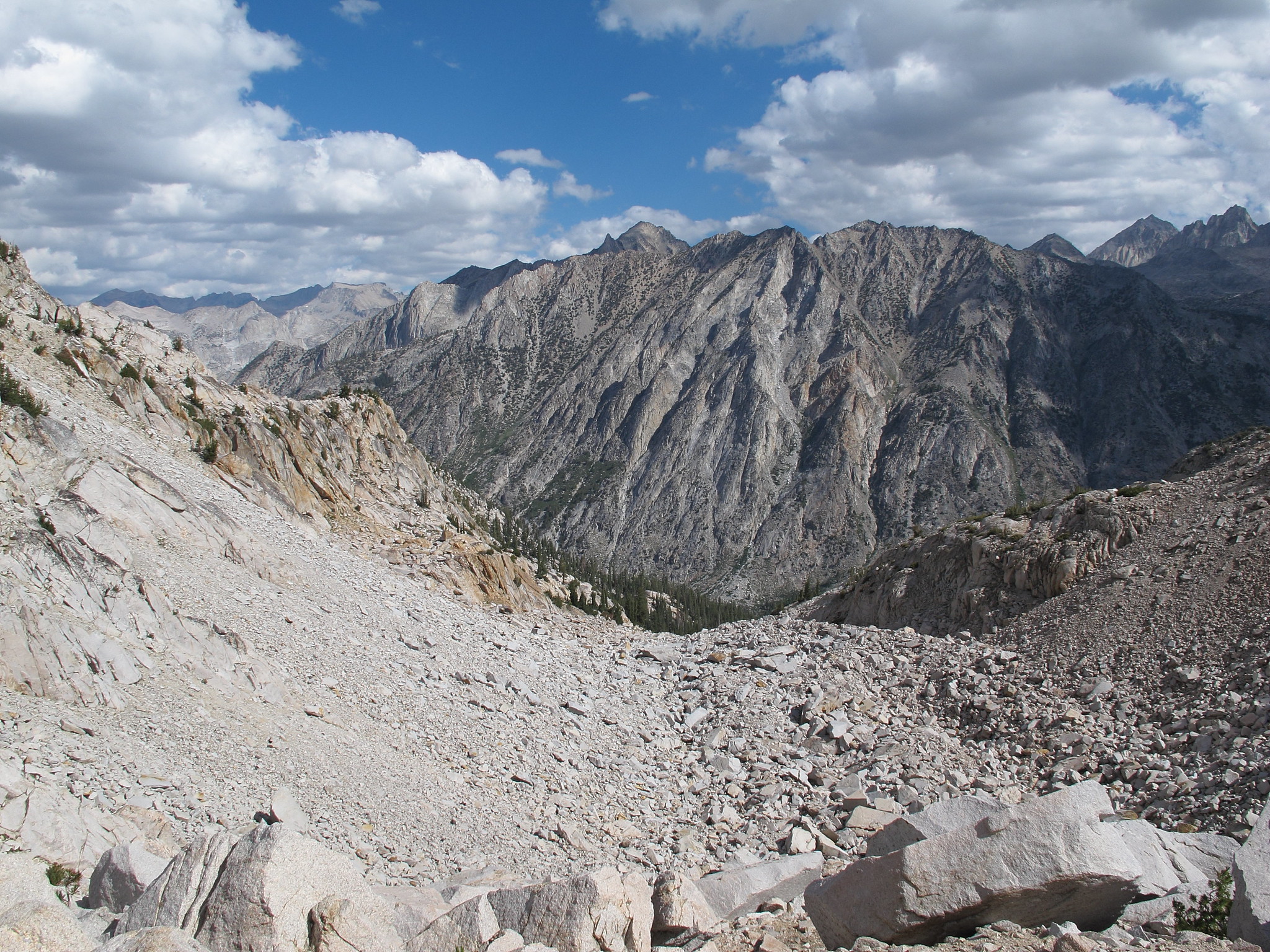
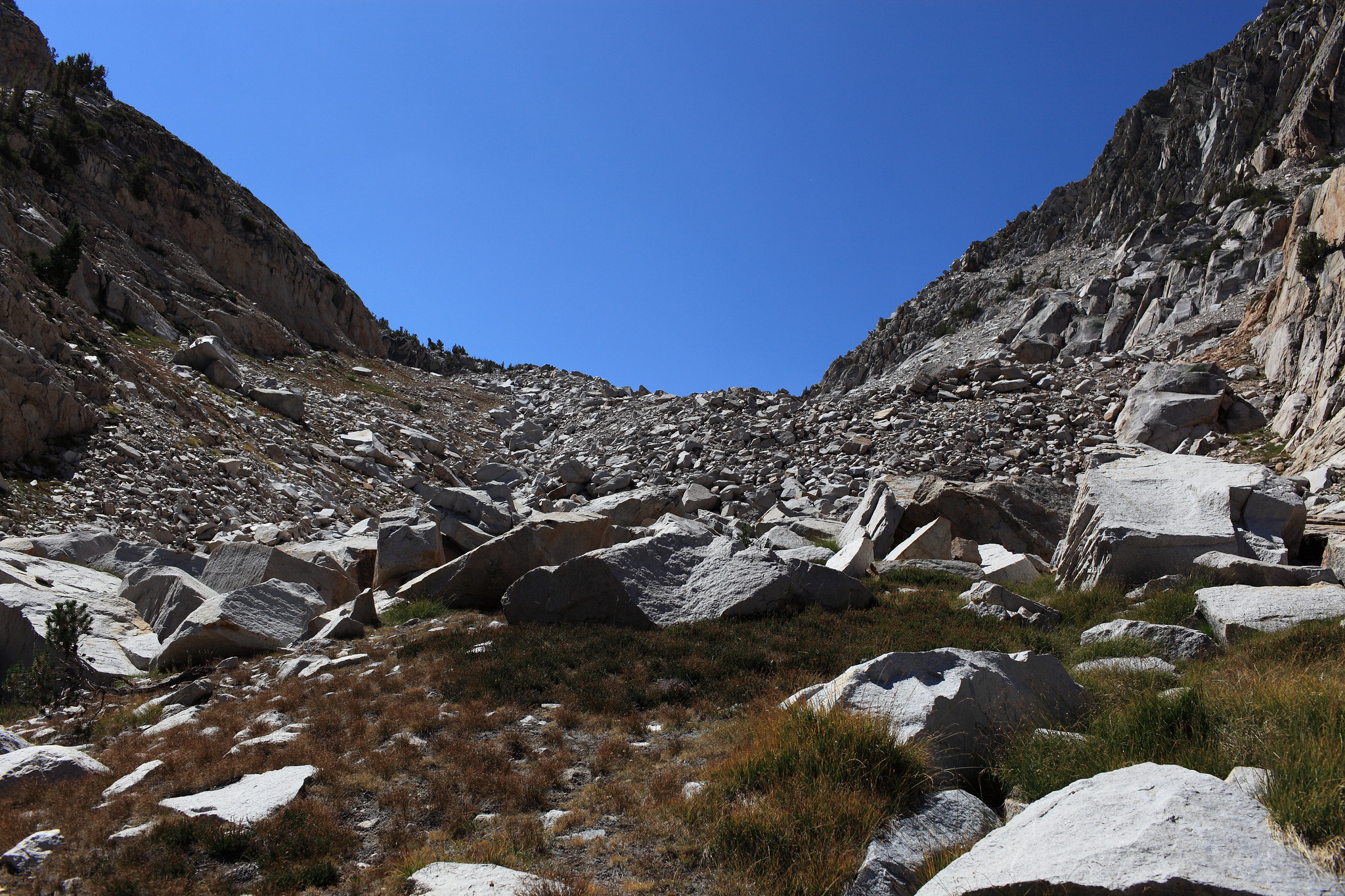
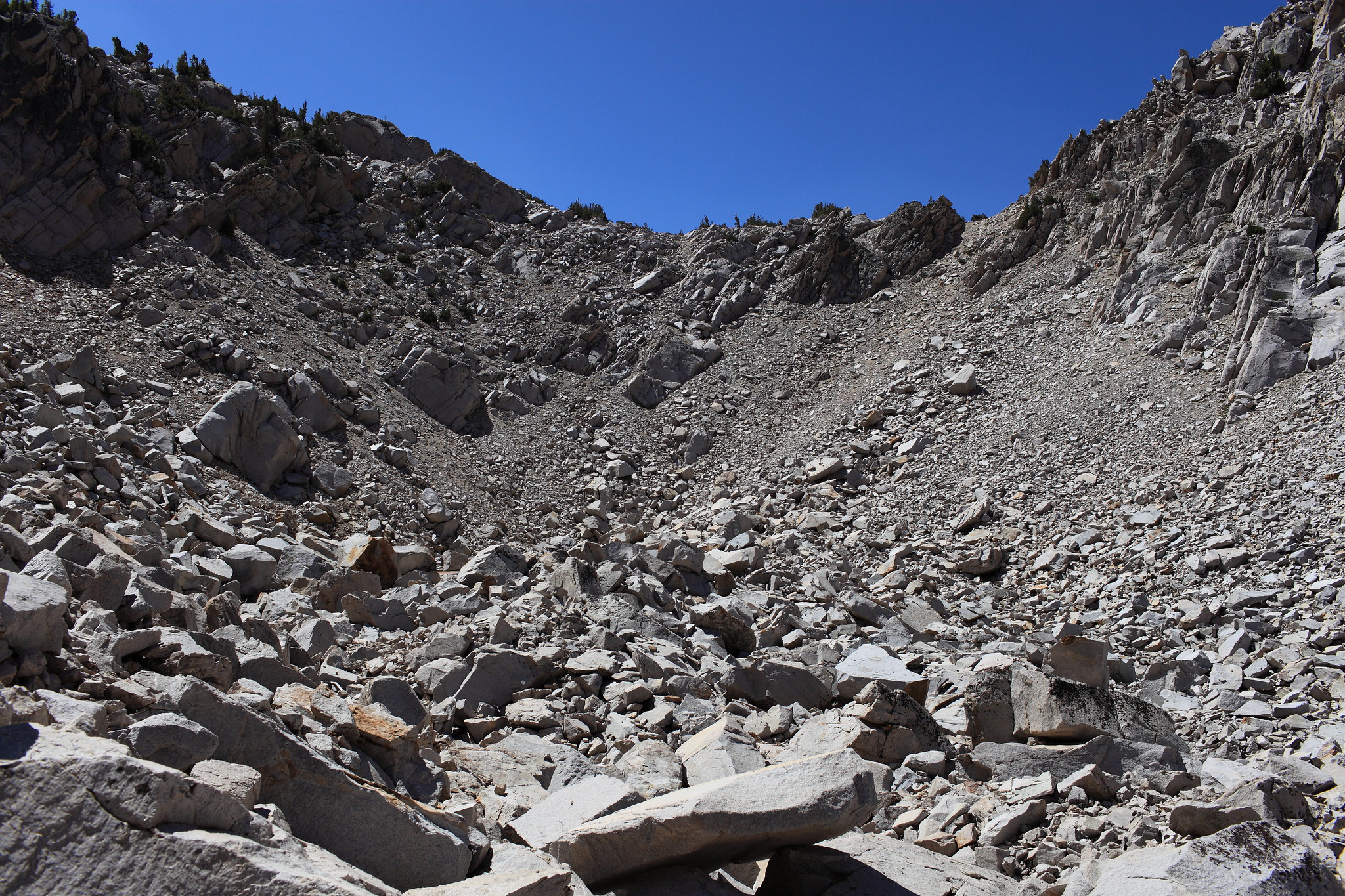
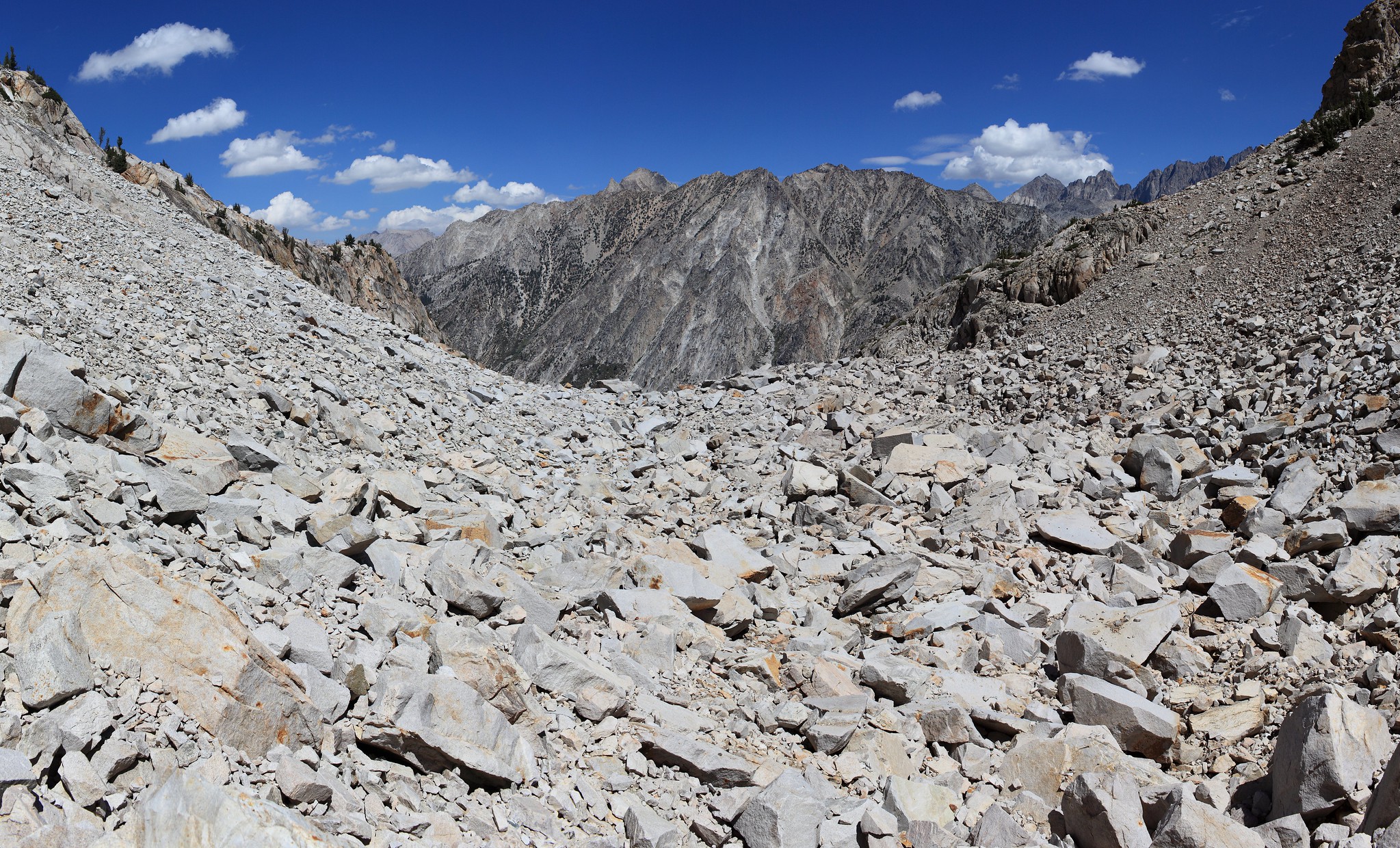
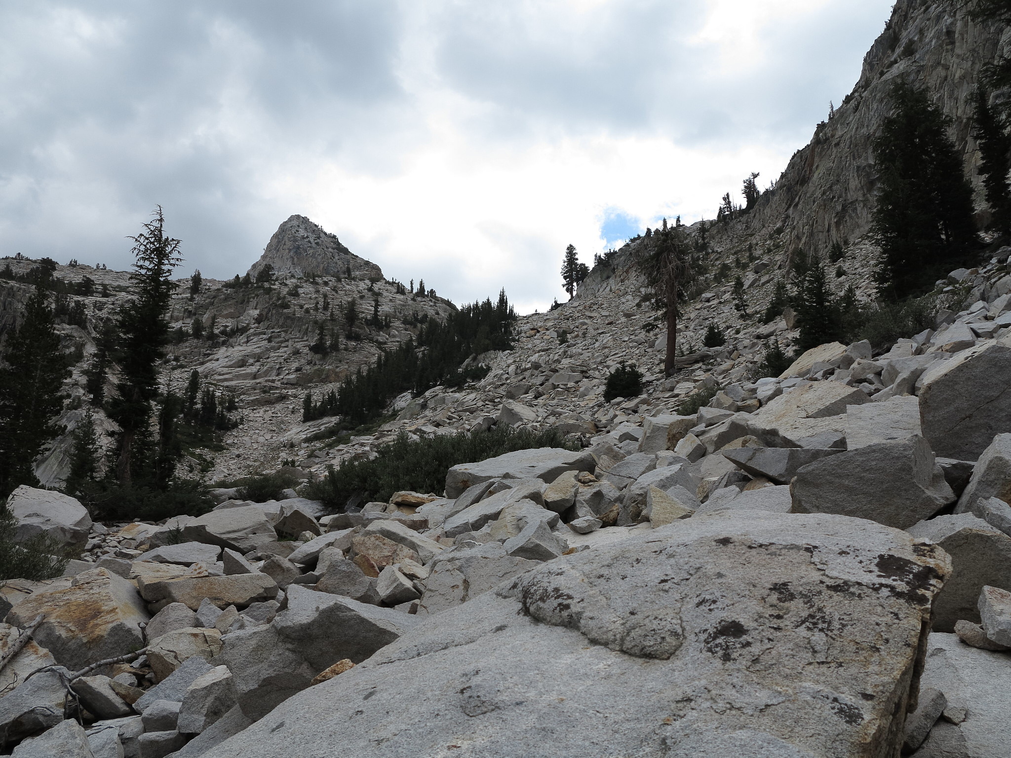
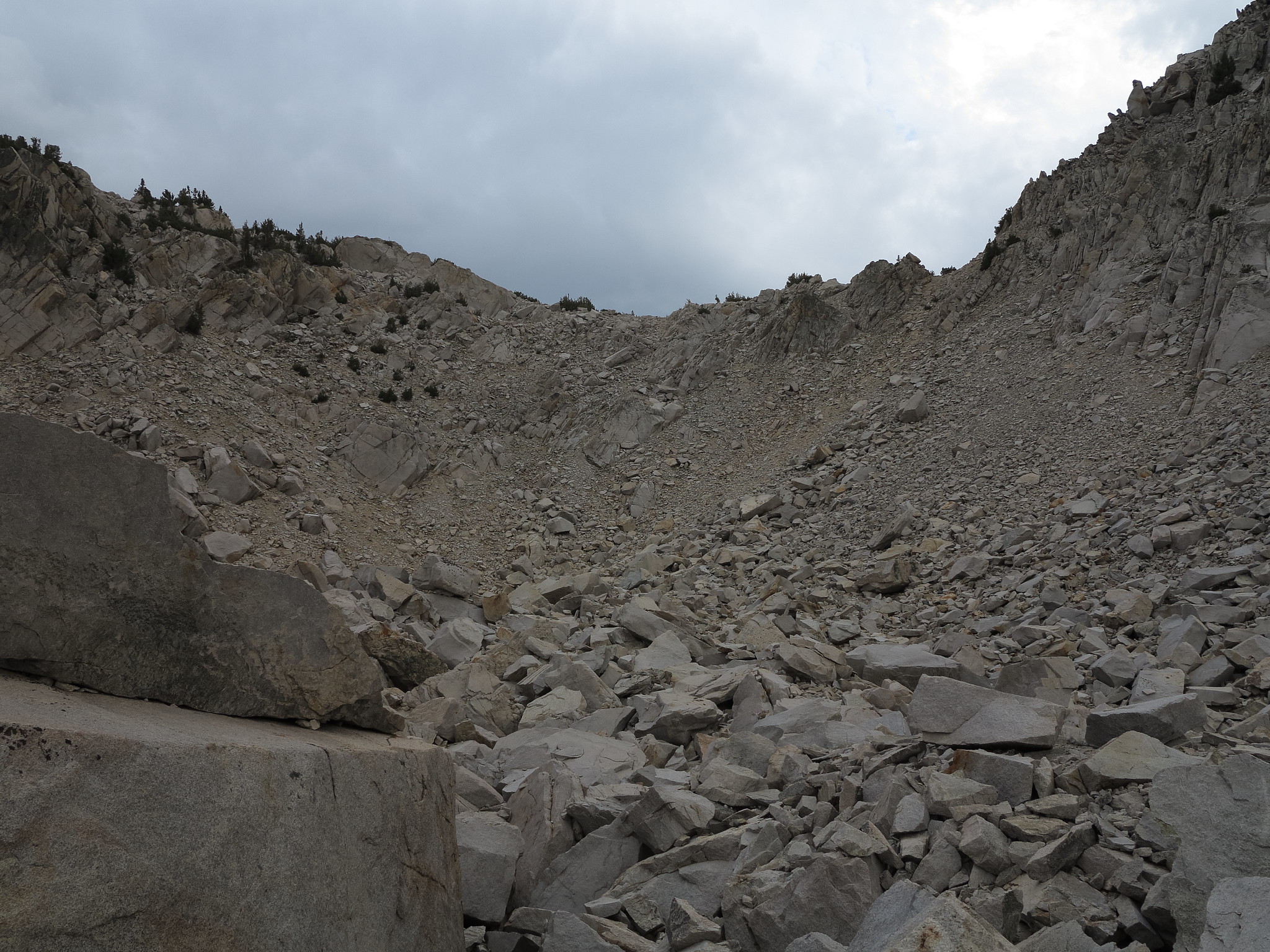
ROUTE DESCRIPTION: The North side of this pass consists of some scree, talus, and a boulder field at the bottom. Getting to this side of the pass involves crossing Palisade creek around 8500 FT and going up the wooded/burned slope. There is some brush encountered in a meadowy flat area around 9600 FT. Staying further to the West of the drainage brings you to a talus slope that climbs up to the bench that holds the final ascent up to the pass. Passing through the boulder fields the pass comes into view. It's looks steeper than it actually is. Some of it is loose with talus that will shift so caution is warranted. Going straight up in the middle was the easiest way to go and posed no major difficulty.
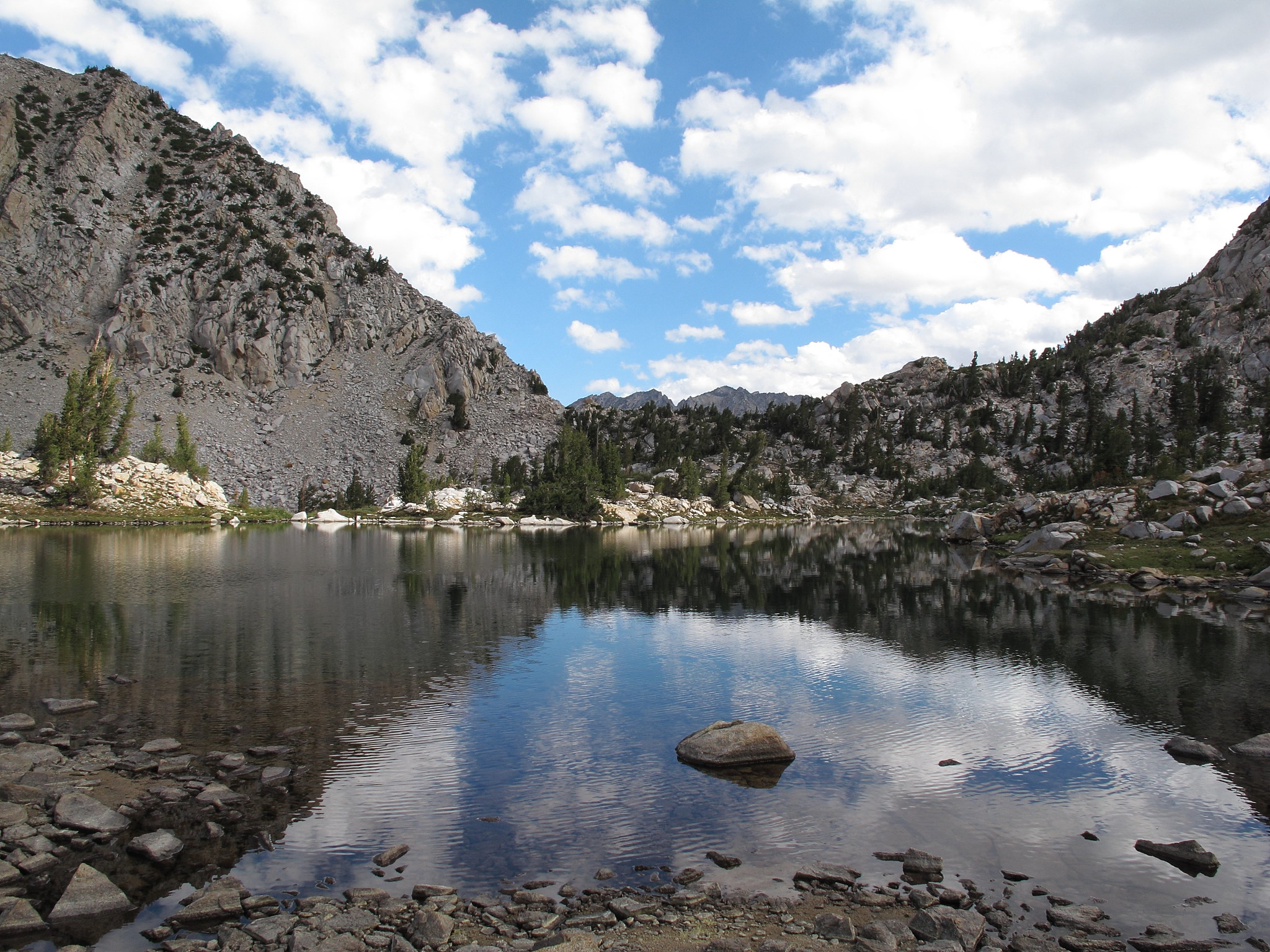
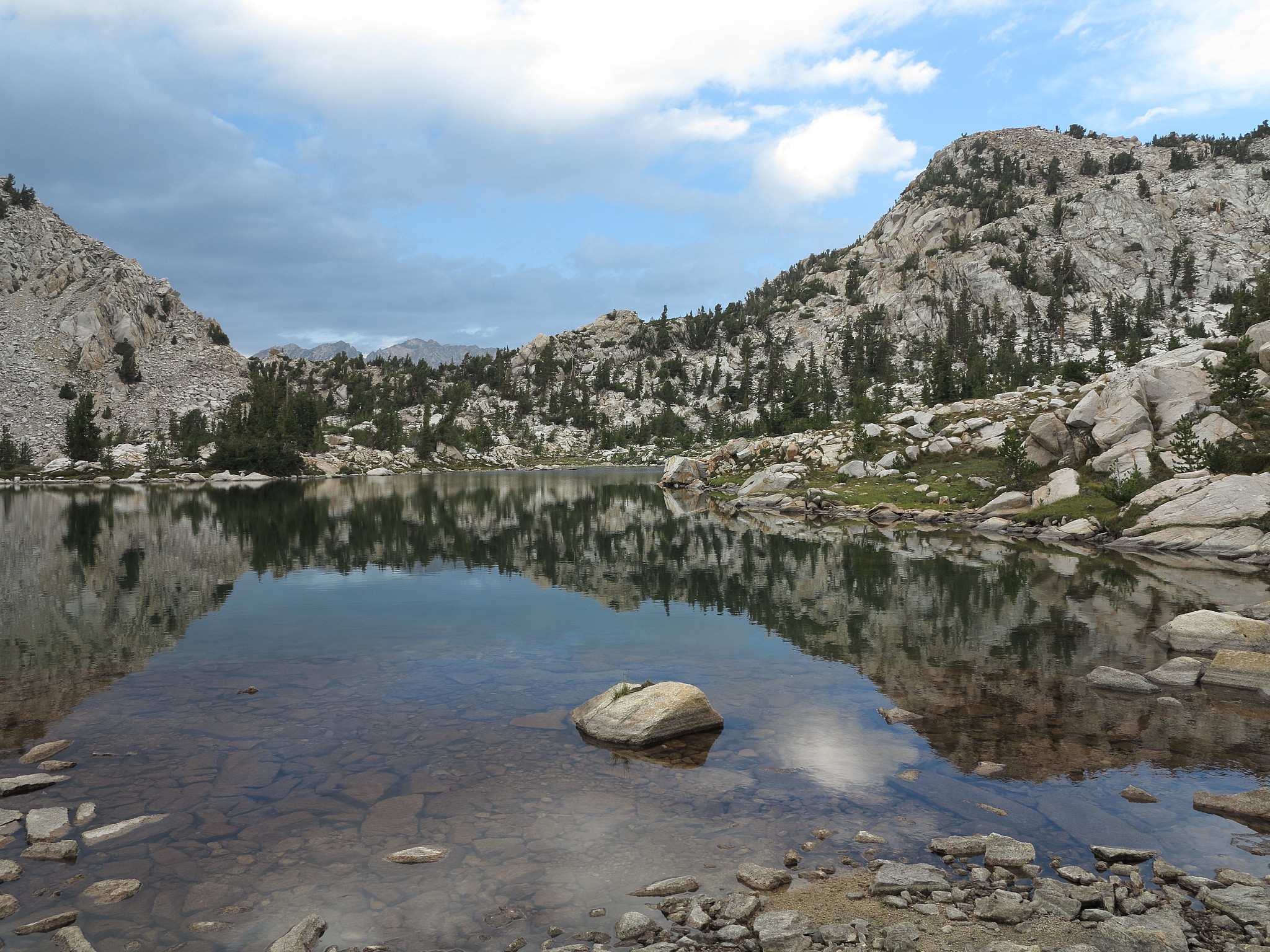
The South side of the pass is no more than a walk down 100 or so FT to the tarn. It is a pleasant walk through mostly a wooded slope with granite benches.
GENERAL OVERVIEW: This pass leads between Palisade Creek and the drainage basin to the West of Mt. Shakespeare and Observation Peak.
CLASS/DIFFICULTY: Class 2
LOCATION: Kings Canyon National Park to the East of Peak 11,291 and directly North of Peak 10,523 HST Map
ELEVATION: 10,639
USGS TOPO MAP (7.5'): North Palisade
ROUTE DESCRIPTION: The North side of this pass consists of some scree, talus, and a boulder field at the bottom. Getting to this side of the pass involves crossing Palisade creek around 8500 FT and going up the wooded/burned slope. There is some brush encountered in a meadowy flat area around 9600 FT. Staying further to the West of the drainage brings you to a talus slope that climbs up to the bench that holds the final ascent up to the pass. Passing through the boulder fields the pass comes into view. It's looks steeper than it actually is. Some of it is loose with talus that will shift so caution is warranted. Going straight up in the middle was the easiest way to go and posed no major difficulty.
The South side of the pass is no more than a walk down 100 or so FT to the tarn. It is a pleasant walk through mostly a wooded slope with granite benches.