Peak 11,840 Pass
Posted: Thu Aug 28, 2014 9:15 am
TITLE: Peak 11,840 Pass (Unofficially known as Senger Pass)
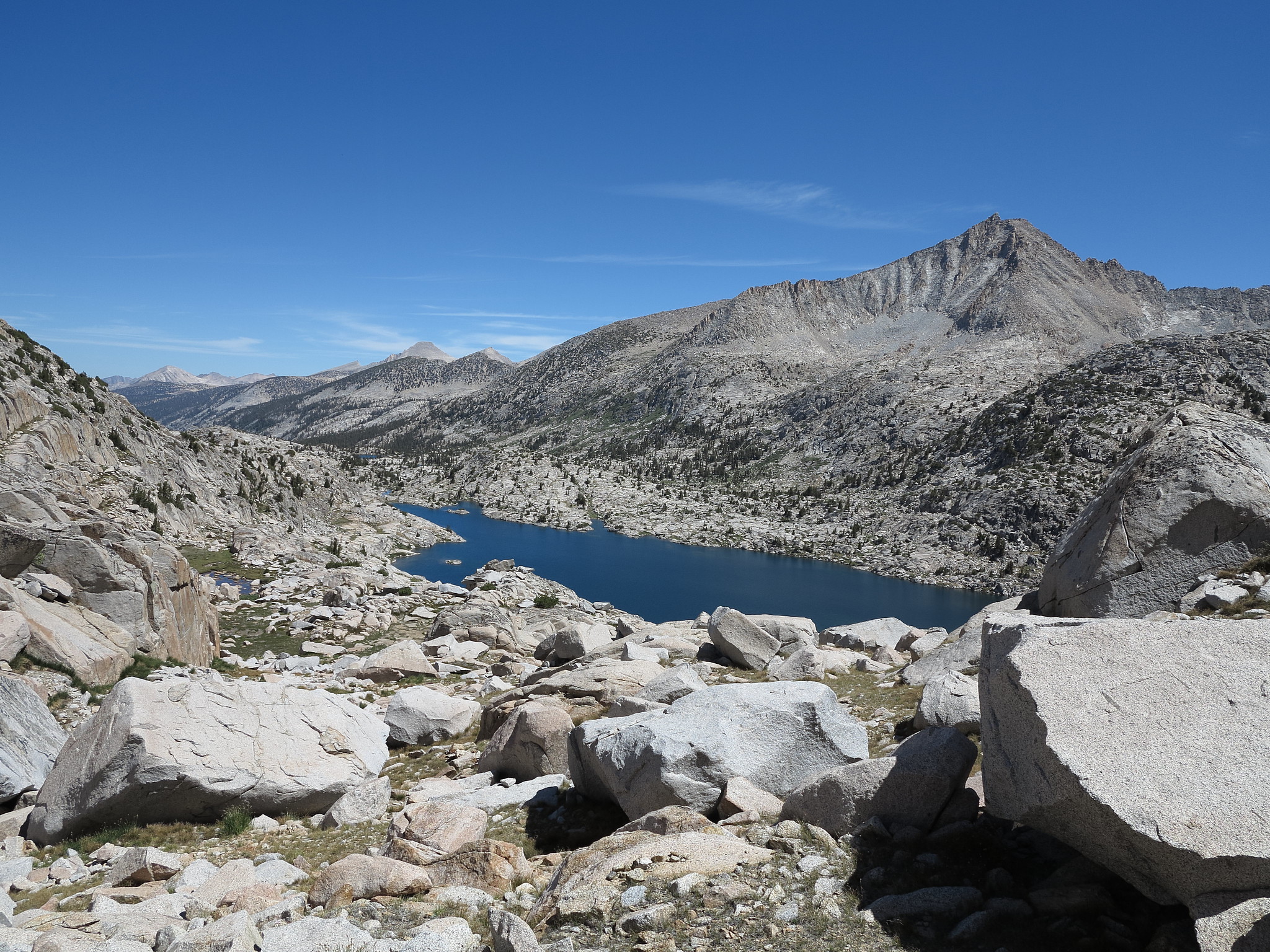
GENERAL OVERVIEW: This pass leads between Senger Creek and the ridge-line between Turret and Senger Peaks to Three Island Lake.
CLASS/DIFFICULTY: Class 2
LOCATION: John Muir Wilderness in Sierra National Forest. Located on the Northwest ridge-line of Mt. Senger. HST Map
ELEVATION: 11,231
USGS TOPO MAP (7.5'): Mt. Hilgard
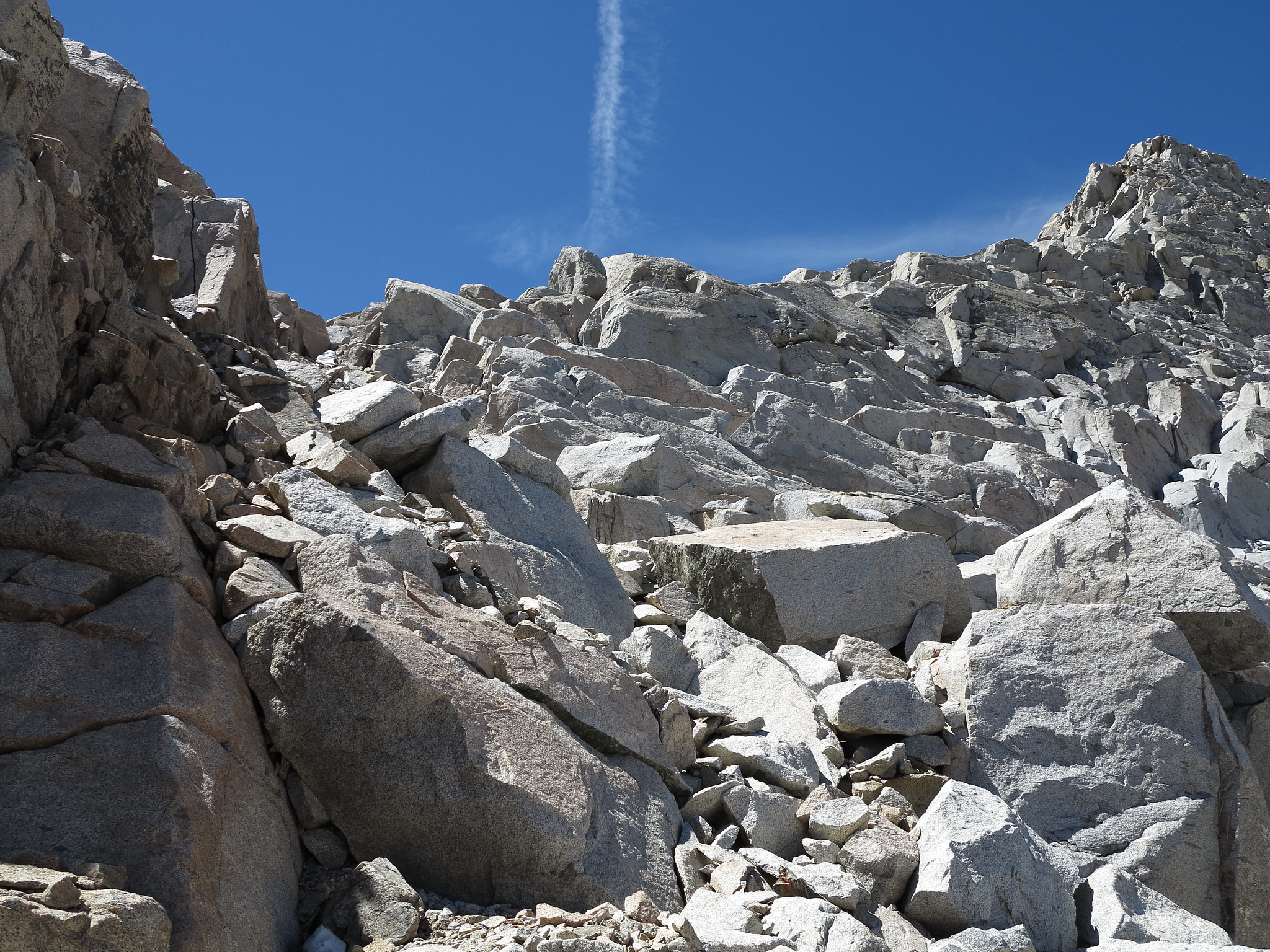
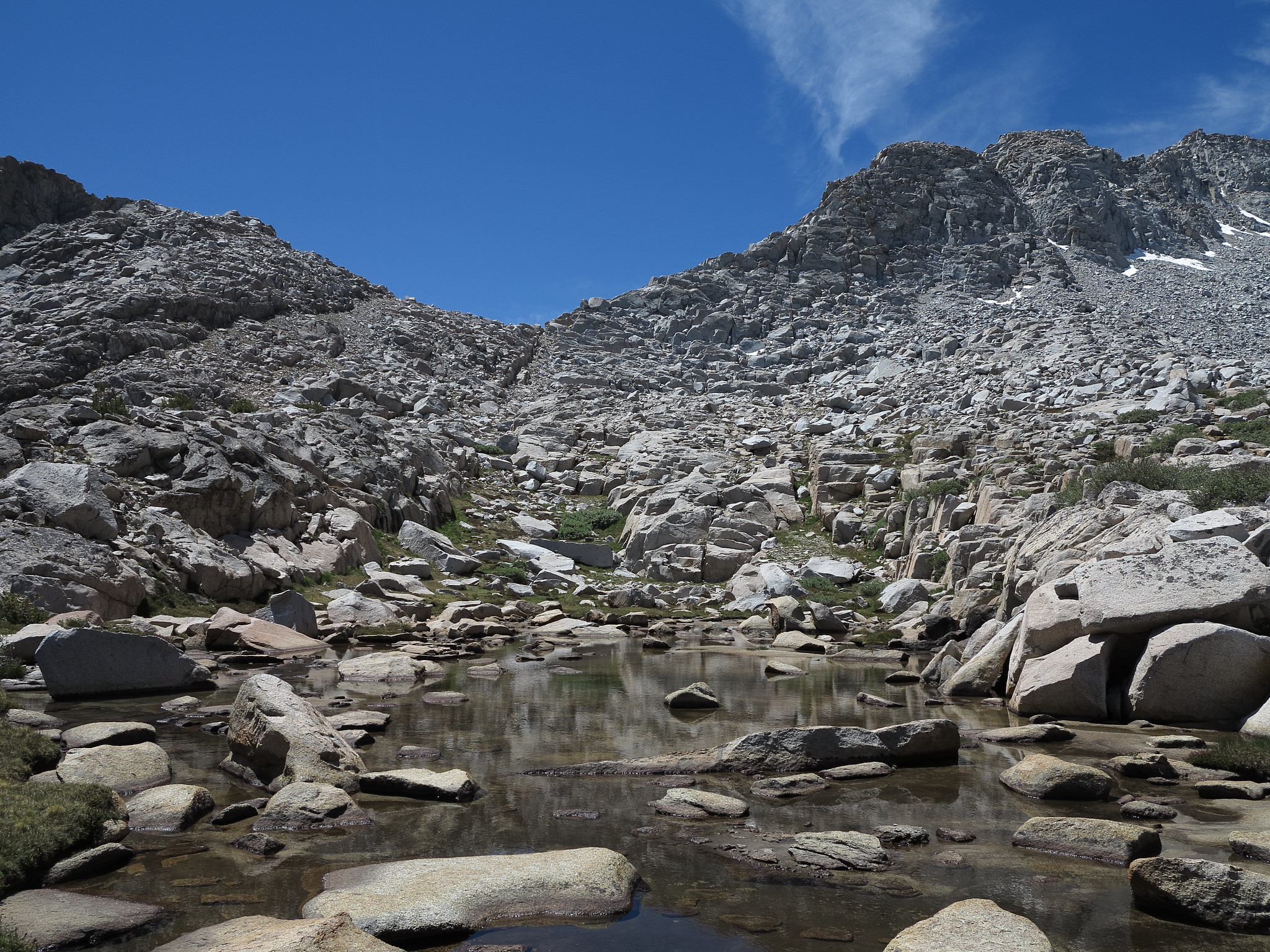
ROUTE DESCRIPTION: Since we didn't travel up Senger Creek I can not comment on the exact conditions of this pass from that particular direction. But from photographs that I took in that area and general knowledge of the terrain it appears as though it's at times a brushy and talus filled class 2 climb. We climbed this pass from the Southeast along the ridge-line. It is very straightforward and nothing more than a talus climb with solid rock and footing.
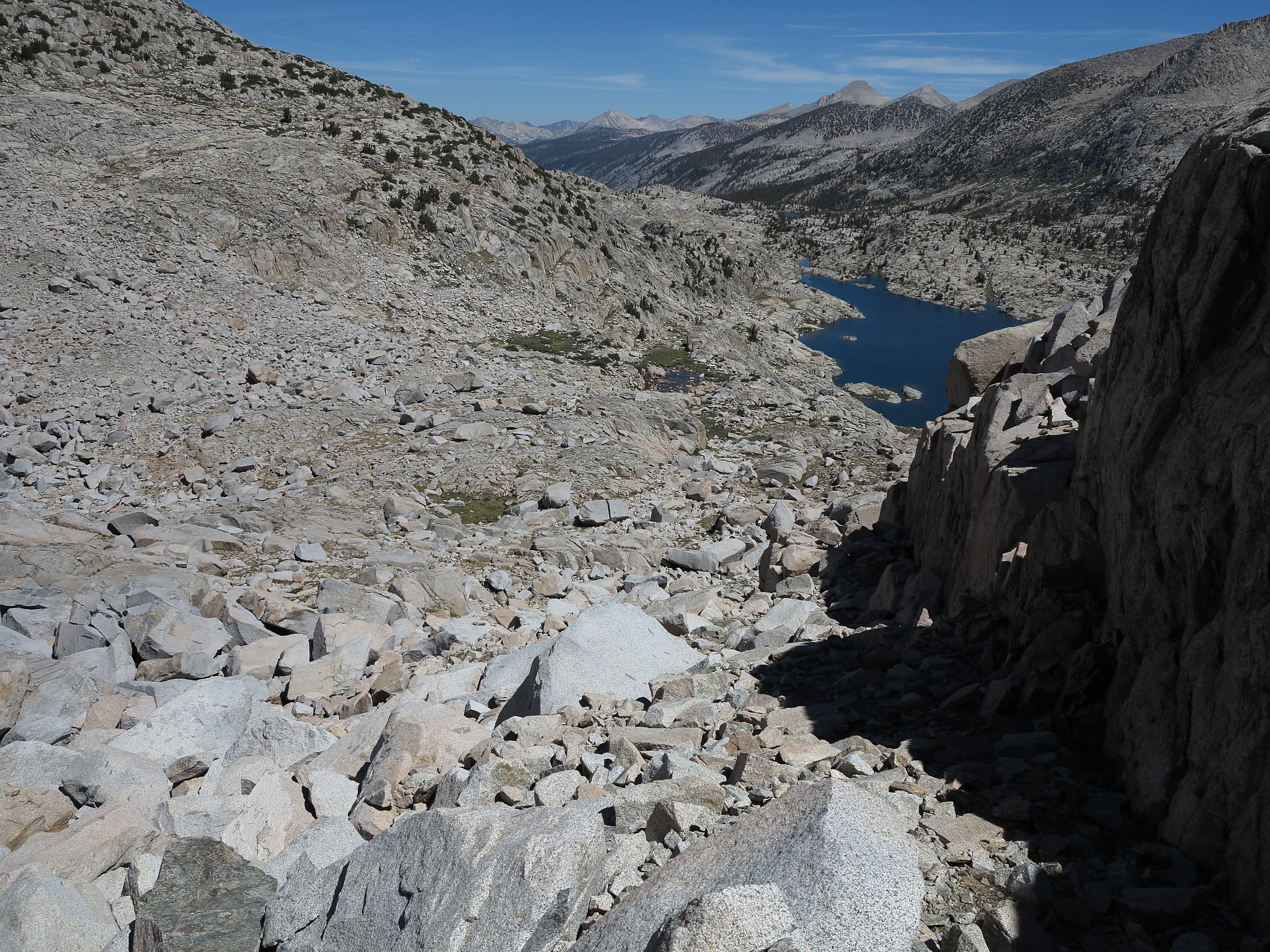
The North side of this pass can potentially turn into class 3 quickly if a bad route is chosen. Essentially micro-route finding will be the key to not getting on any small cliff faces. We did not find the best route down but when we looked back up a class 2 route is definitely possible. After initially dropping down from the pass you will pass by a large cliff face on your right hand side. If you end up on that cliff face you will end up on class 3-4 terrain. It is important to note where it is as best as possible from the top of the pass to not end up on it. Toward the bottom you cross large talus and boulders until making your way down to Three Island Lake.
GENERAL OVERVIEW: This pass leads between Senger Creek and the ridge-line between Turret and Senger Peaks to Three Island Lake.
CLASS/DIFFICULTY: Class 2
LOCATION: John Muir Wilderness in Sierra National Forest. Located on the Northwest ridge-line of Mt. Senger. HST Map
ELEVATION: 11,231
USGS TOPO MAP (7.5'): Mt. Hilgard
ROUTE DESCRIPTION: Since we didn't travel up Senger Creek I can not comment on the exact conditions of this pass from that particular direction. But from photographs that I took in that area and general knowledge of the terrain it appears as though it's at times a brushy and talus filled class 2 climb. We climbed this pass from the Southeast along the ridge-line. It is very straightforward and nothing more than a talus climb with solid rock and footing.
The North side of this pass can potentially turn into class 3 quickly if a bad route is chosen. Essentially micro-route finding will be the key to not getting on any small cliff faces. We did not find the best route down but when we looked back up a class 2 route is definitely possible. After initially dropping down from the pass you will pass by a large cliff face on your right hand side. If you end up on that cliff face you will end up on class 3-4 terrain. It is important to note where it is as best as possible from the top of the pass to not end up on it. Toward the bottom you cross large talus and boulders until making your way down to Three Island Lake.