Deer Pass
Posted: Tue Nov 05, 2013 9:30 pm
GENERAL OVERVIEW: This pass leads between Duck Lake / Pass and the Deer Lakes / Creek
CLASS/DIFFICULTY: Class 2
LOCATION: John Muir Wilderness HST Map
ELEVATION: 11,240
USGS TOPO MAP (7.5'): Bloody Mountain
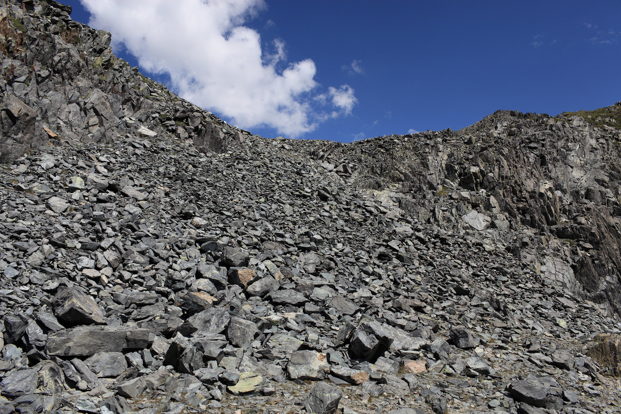
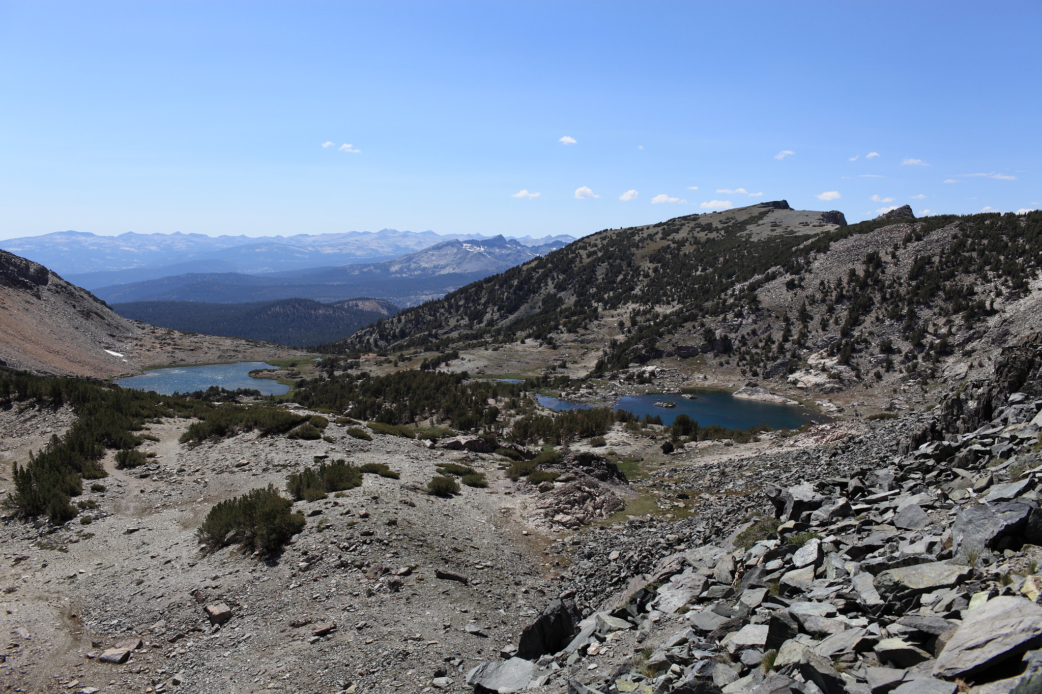
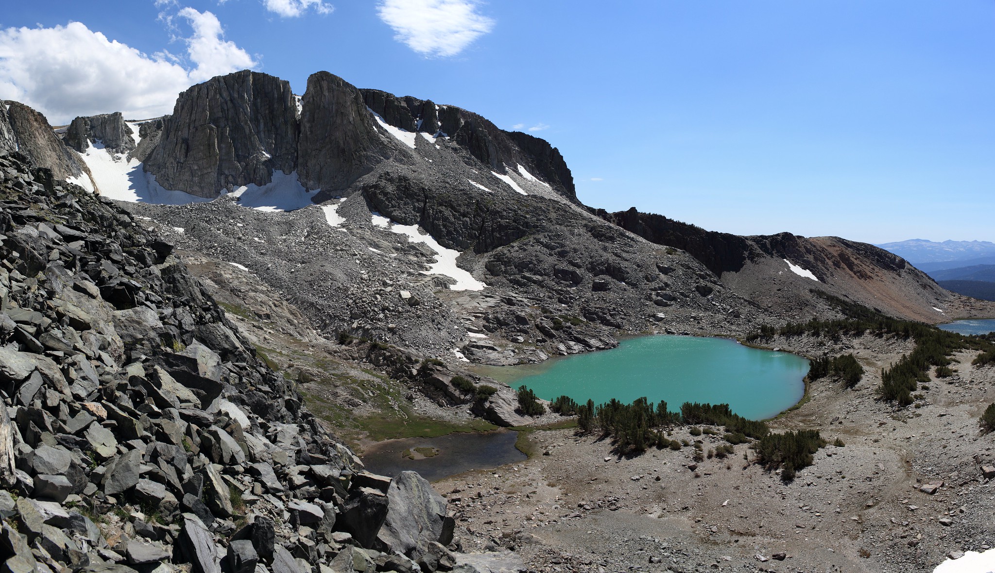
ROUTE DESCRIPTION: If following the Mammoth Crest Trail the trail will become extremely indistinct after passing the middle lake of the Deer Lakes. Continue up easy slopes until nearing the pass itself. Most maps show a trail going to the right up and over a hump 400 feet higher. Ignore this flaw and aim for the obvious low saddle. You will climb a talus slope with a few bits of a use trail until the terrain radically changes into easy class 1 terrain. Continue along this gaining a bit more altitude until you cross the final low saddle and begin down the pass on more class 1 terrain. Although a use trail can be followed off of the pass it fades away before long.

CLASS/DIFFICULTY: Class 2
LOCATION: John Muir Wilderness HST Map
ELEVATION: 11,240
USGS TOPO MAP (7.5'): Bloody Mountain
ROUTE DESCRIPTION: If following the Mammoth Crest Trail the trail will become extremely indistinct after passing the middle lake of the Deer Lakes. Continue up easy slopes until nearing the pass itself. Most maps show a trail going to the right up and over a hump 400 feet higher. Ignore this flaw and aim for the obvious low saddle. You will climb a talus slope with a few bits of a use trail until the terrain radically changes into easy class 1 terrain. Continue along this gaining a bit more altitude until you cross the final low saddle and begin down the pass on more class 1 terrain. Although a use trail can be followed off of the pass it fades away before long.