Stanton Pass
Posted: Tue Nov 05, 2013 8:49 pm
GENERAL OVERVIEW: This Pass leads between Spiller Creek and the upper most area of Virginia Canyon and Virginia Lake
CLASS/DIFFICULTY: Class 3
LOCATION: Yosemite National Park HST Map
ELEVATION: 11,170
USGS TOPO MAP (7.5'): Dunderberg Peak
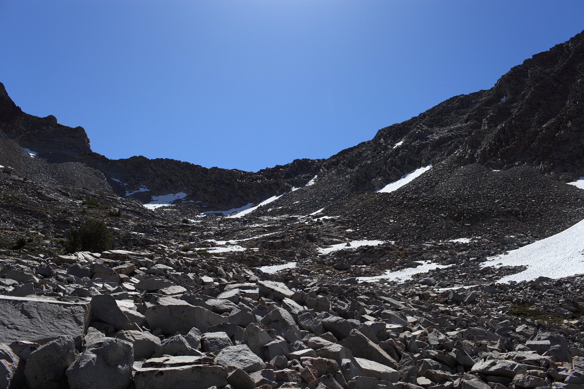
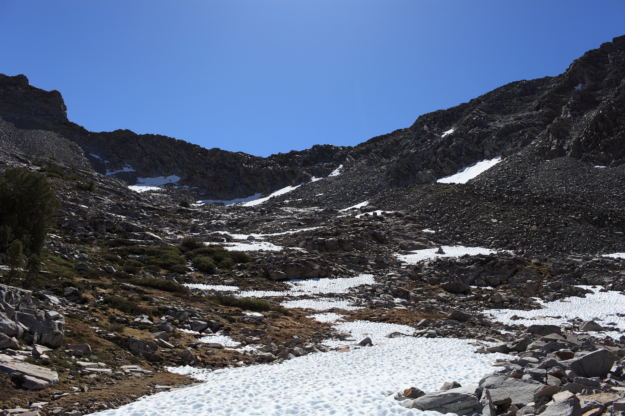
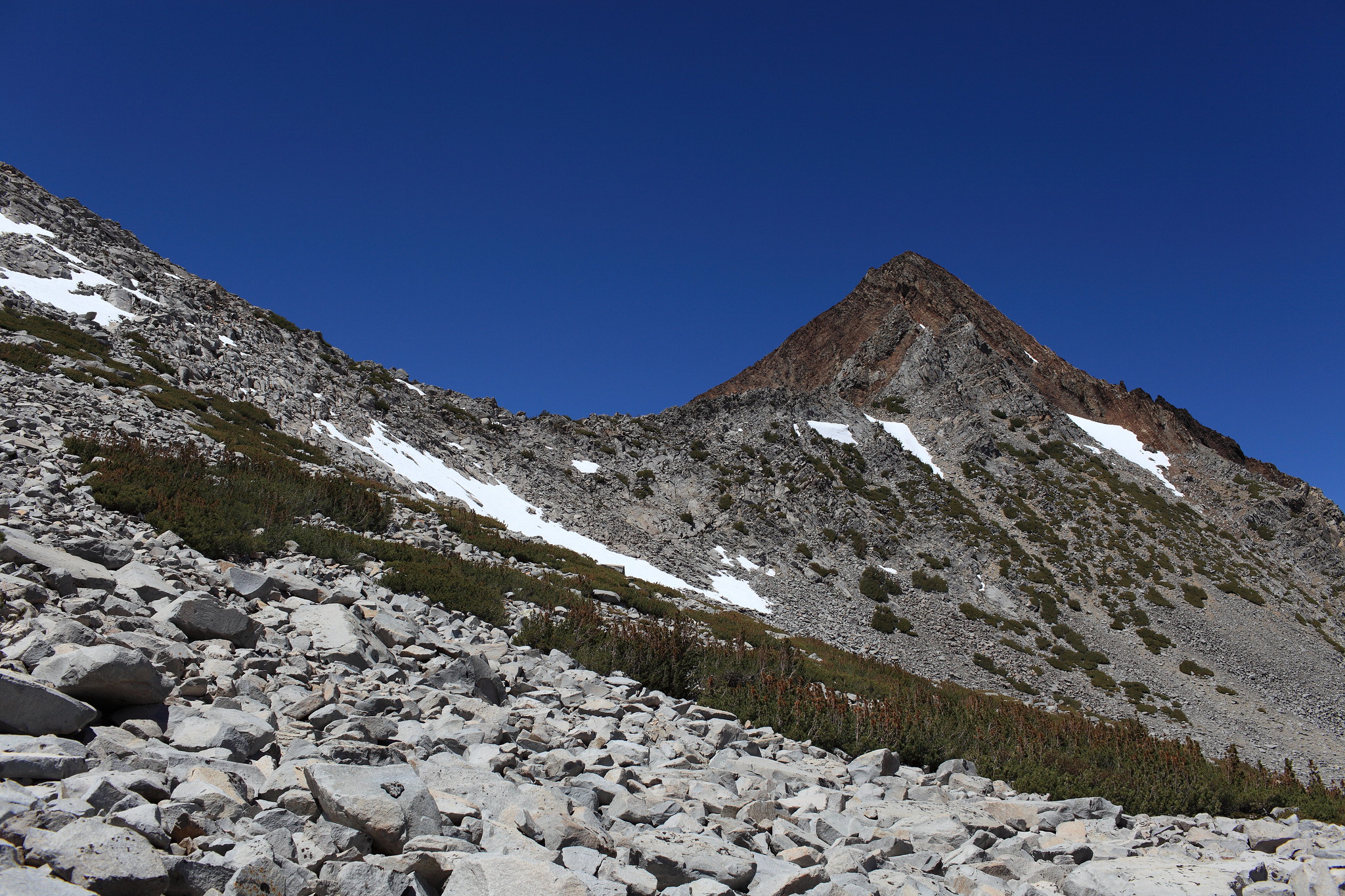
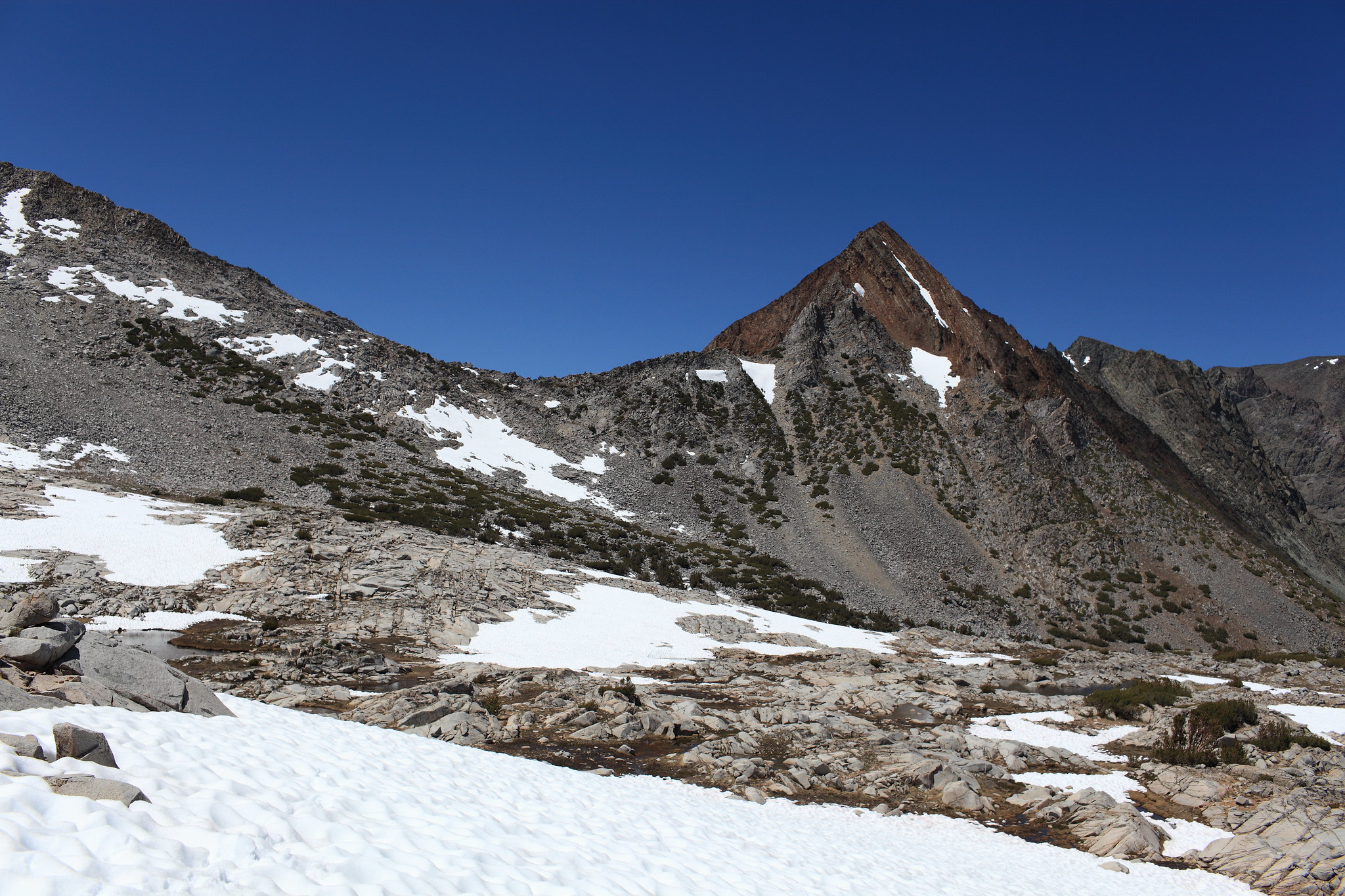
ROUTE DESCRIPTION: From Spiller Creek ascend easy grass slopes until you find yourself casually talus hoping with large patches of easy terrain in between. One large pile of talus is sloping down from the pass a bit on the right. Ascend this until it narrows into class 3 rock that must be climbed until the top. From here you must navigate down a tricky mess of class 3 shelves where it's not so easy to see ahead to plan properly. Climb at an angle down to your right.


CLASS/DIFFICULTY: Class 3
LOCATION: Yosemite National Park HST Map
ELEVATION: 11,170
USGS TOPO MAP (7.5'): Dunderberg Peak
ROUTE DESCRIPTION: From Spiller Creek ascend easy grass slopes until you find yourself casually talus hoping with large patches of easy terrain in between. One large pile of talus is sloping down from the pass a bit on the right. Ascend this until it narrows into class 3 rock that must be climbed until the top. From here you must navigate down a tricky mess of class 3 shelves where it's not so easy to see ahead to plan properly. Climb at an angle down to your right.