Bloody Canyon/Mono Pass
Posted: Mon Sep 02, 2013 8:14 pm
We're back from a short trip in the Ansel Adams Wilderness east of Yosemite, where we started in sparkling clean air, and were quickly introduced to the smoke from the Rim Fire. This is a steep hike up out of Walker Lake...but there are some great views on the way up, and a nice creek to follow. We stopped at Lower Sardine Lake because we found a nice campsite on the West shore...and we weren't sure there were going to be any better ones at Upper Sardine. And it was lovely.
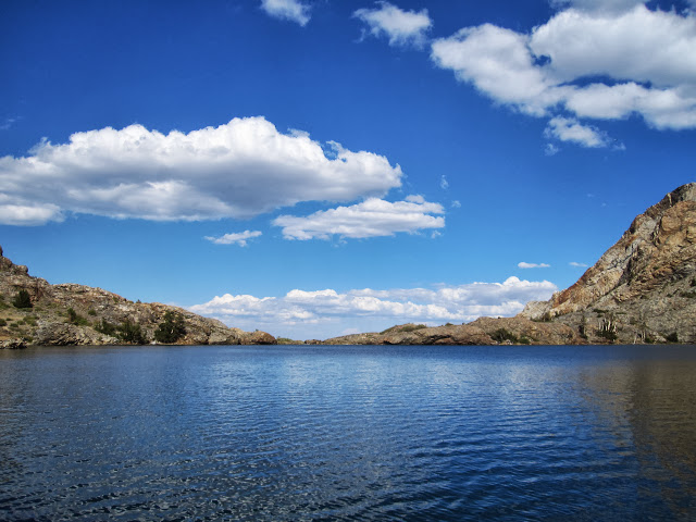
Here's a shot of what it looked like before the smoke arrived:
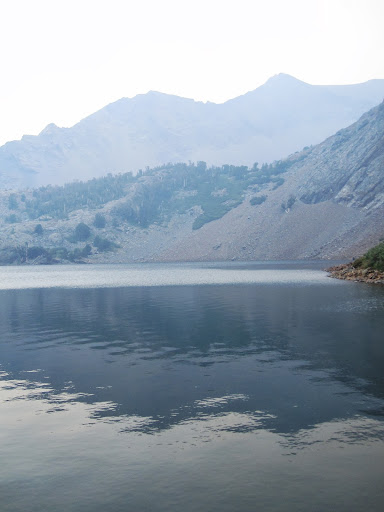
And here is what it looked like a few hours later...when the smoke from the Rim Fire blew in on a westerly gale.
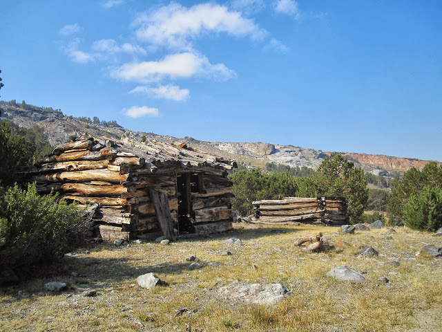
The next day we decided to day hike up to Mono Pass, where we were tourists through the old mines...
And then we headed home a bit early, thinking that it would be good to breathe some clean air...but the trip was still a wonderful adventure. Here is a link to the full photo set:
https://picasaweb.google.com/balzaccom/ ... ndMonoPass#" onclick="window.open(this.href);return false;
Here's a shot of what it looked like before the smoke arrived:
And here is what it looked like a few hours later...when the smoke from the Rim Fire blew in on a westerly gale.
The next day we decided to day hike up to Mono Pass, where we were tourists through the old mines...
And then we headed home a bit early, thinking that it would be good to breathe some clean air...but the trip was still a wonderful adventure. Here is a link to the full photo set:
https://picasaweb.google.com/balzaccom/ ... ndMonoPass#" onclick="window.open(this.href);return false;