Page 1 of 1
Dundenberg Route...Did I do something wrong?
Posted: Mon Oct 01, 2012 10:45 am
by EastSideClimb
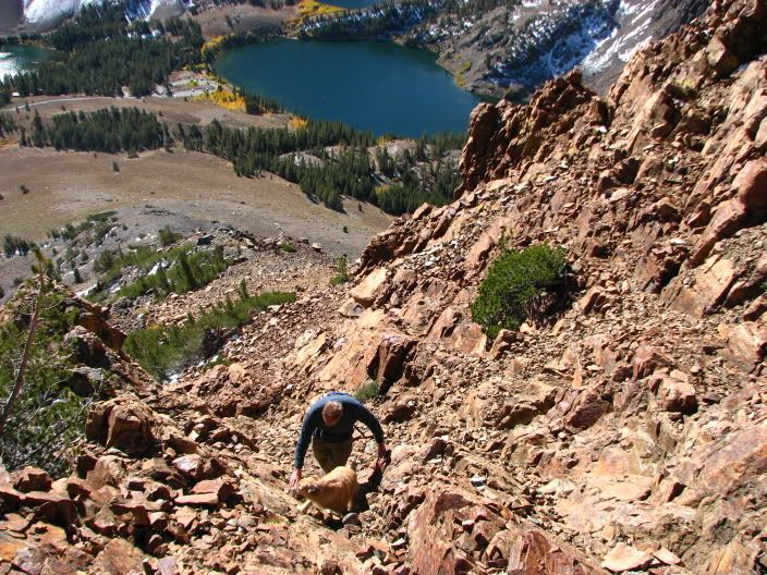
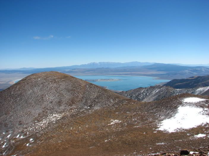
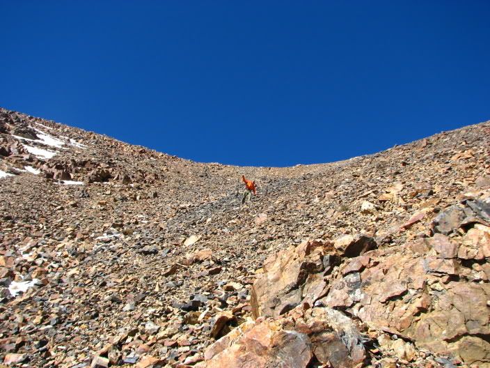
I know this is technically a Peak Bagging post, but Im hoping to get the most info on this. This past glorious weekend, my brother and I set off to attack Dundenberg Peak. Now we had heard that the South East ridge provided direct access for this "easy" peak climb, and set out directly from the Virgina Lakes TH. What we found was a very loose and sketchy at best route that got me waaay out of my comfort zone. With a couple hours burned we decided to accept defeat about 2/3s up, and head back to fish. I've climbed Mt. Dana and Koip and am no stranger to scree scrambling, but I cannot see how people with skis can scramble up the South ridge directly from the Virginia Lake TH. My question is: what is the route that people take to Dundenberg Peak which causes them to describe it as an easy "first peak climb?" Is it the Ridge above Moat Lake up the Virginia Lakes trail (passed Blue?) or the East Ridge below the cabins of VL Road?
Any info would be appreciate for my fragile and bruised ego.
Re: Dundenberg Route...Did I do something wrong?
Posted: Mon Oct 01, 2012 1:35 pm
by SSSdave
http://mapper.acme.com/?ll=38.05948,-119.26045&z=15&t=T" onclick="window.open(this.href);return false;
That looks like an unpleasant route on the topo and the description at:
http://www.summitpost.org/southeast-ridge/158430" onclick="window.open(this.href);return false;
And not surprisingly reads unpleasant even though the author rates it as class 3. Class 3 metamorphic scree is dangerous. Sort of route a peakbagger that does not bother to do their homework on maps first and instead just looks up and starts climbing would make.
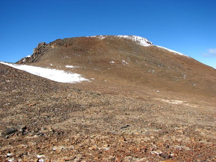
If one wanted to climb from Virginia Lakes, the easy way from the paved road at 9400 feet is obviously directly north from the first "N" in National on the map up to the saddle at 10700 feet. From there just follow the ridge west then southwest.
But there is an even better place to start by driving north on the Virgina Lakes Green Creek dirt road which is easily taken by 2WD with normal clearance. Just right of where the map show township 32 is a short 4WD road. Park where that road starts. Although the map doesn't show it, the Toiyabe NF map shows the jeep road continuing all the way to the unnamed lake at 10360+. From there either hike due south up the ridge or southwest and take the obvious easy gradient north facing canyon up to the saddle between the two summits.
http://mapper.acme.com/?ll=38.07178,-119.25157&z=15&t=T" onclick="window.open(this.href);return false;
Re: Dundenberg Route...Did I do something wrong?
Posted: Mon Oct 01, 2012 2:38 pm
by EastSideClimb
That
http://www.summitpost.com" onclick="window.open(this.href);return false; was what we were basing our trip off of, and consulting the Hoover Wildnerness Topo. The metamorphic scree definitely was a problem, and when the cairns we were following led to some hand over hand climbing we pulled the plug. What confused us was the numerous references to the Southwest ridge, which is what we attempted. Live and learn I guess, Im hoping somebody who did the Moat Lake route "west ridge" might have some insights. I know this aint Everest or anything, but Im also really interested in the spring skiing options in the future, which is why I've kinda got a little manic about it.
Re: Dundenberg Route...Did I do something wrong?
Posted: Mon Oct 01, 2012 3:19 pm
by SSSdave
Yeah stuff some climbers posts is often more difficult than they describe. Some are just very experienced and skilled while others don't want to make it sound like they had trouble or that their route skills stink. In any case wisdom is always looking at a 7.5 minute USGS topo to see how close together vertical lines are in the worst sections. When they are anywhere as close together as that route shows, be suspicious especially when it is metamorphic geology that tends to be more crumbly and loose than granite. When reading the summitpost route info, the report person called the rock "volcanic" which immediately raised a flag.
Re: Dundenberg Route...Did I do something wrong?
Posted: Tue Oct 02, 2012 10:02 am
by mlca