North Glacier Pass Snow Conditions
Posted: Thu Jun 07, 2012 11:16 am
I am planning a backpacking trip July 19-23 into Ansel Adams Wilderness. I'd say I'm a moderately experienced backpacker, having done perhaps 25 trips throughout California, many of them in the Northern Sierra, and several which included class 2 and 3 cross-country travel over talus, etc.
Day 1: Silver Lake to Thousand Island Lake via the Rush Creek Trail
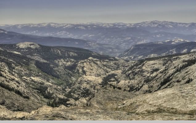
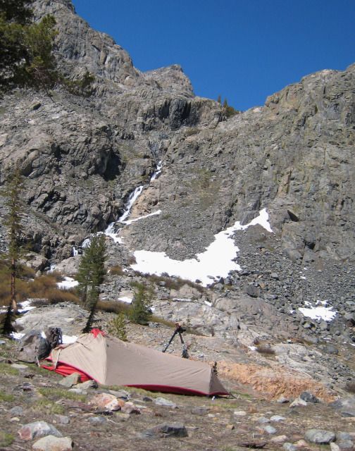
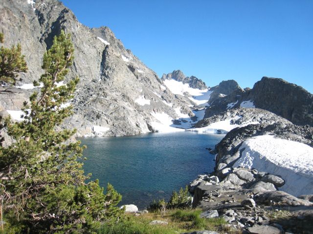
Day 2: Over North Glacier Pass past Catherine Lake, across to Twin Island Lakes, and down into Bench Canyon
Day 3: Day hiking out of Bench Canyon
Day 4: Back up and over to Thousand Island Lake
Day 5: Back down to Silver Lake
Thanks to the members of this forum, I have managed to gather very detailed info on the route specifics from Catherine Lake to Twin Island Lakes, but I do have a few questions for those of you that are familiar with the area or have been up there this season:
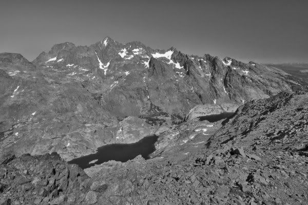
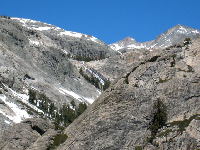
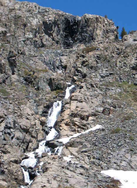
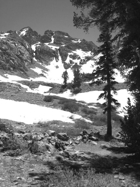
1) Can we expect much snow getting up to Catherine Lake? It's been a very dry year, but I've heard there are still snowfields up there from last season. How about snow on the west side of the pass? None of us are very experienced with snow-hiking.
2) If we decided to skip Twin Island Lakes, how difficult is it to drop all the way down into the canyon of the North Fork of the San Joaquin from Roper's route?
3) Does the canyon of the NFSJ make for a nice camping spot? How would it compare to Bench Canyon in that regard?
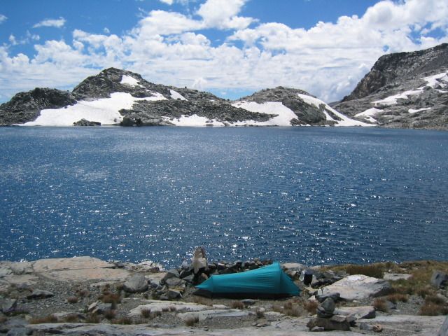
4) Any intel on the stream crossing at the outlet of Twin Island Lakes? How deep can we expect it to be at that time of year given the dry conditions this season?
Thanks everyone, any help is much appreciated.
Day 1: Silver Lake to Thousand Island Lake via the Rush Creek Trail
Day 2: Over North Glacier Pass past Catherine Lake, across to Twin Island Lakes, and down into Bench Canyon
Day 3: Day hiking out of Bench Canyon
Day 4: Back up and over to Thousand Island Lake
Day 5: Back down to Silver Lake
Thanks to the members of this forum, I have managed to gather very detailed info on the route specifics from Catherine Lake to Twin Island Lakes, but I do have a few questions for those of you that are familiar with the area or have been up there this season:
1) Can we expect much snow getting up to Catherine Lake? It's been a very dry year, but I've heard there are still snowfields up there from last season. How about snow on the west side of the pass? None of us are very experienced with snow-hiking.
2) If we decided to skip Twin Island Lakes, how difficult is it to drop all the way down into the canyon of the North Fork of the San Joaquin from Roper's route?
3) Does the canyon of the NFSJ make for a nice camping spot? How would it compare to Bench Canyon in that regard?
4) Any intel on the stream crossing at the outlet of Twin Island Lakes? How deep can we expect it to be at that time of year given the dry conditions this season?
Thanks everyone, any help is much appreciated.