Mt. Gould - Rae Lakes Loop 9/18 - 9/20
Posted: Tue Sep 22, 2009 8:02 am
Went from Onion Valley up to Mt. Gould, then down to Rae Lakes, and back over Glenn Pass. In lieu of a full trip report, here are some photos!
Left Los Angeles around 1:30 and were on the trail to Kearsarge pass by 5:15. Felt a few drops of rain but nothing came of it.
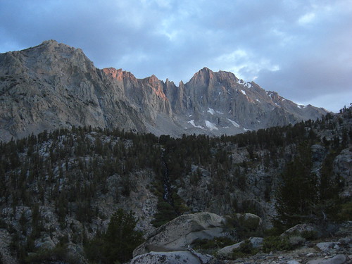
Camped at Gilbert Lake- it was really windy. The next morning, from Kearsarge Pass, headed up Mt. Gould.
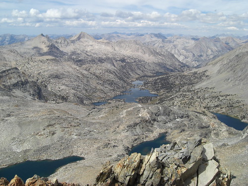
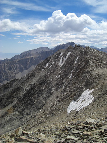
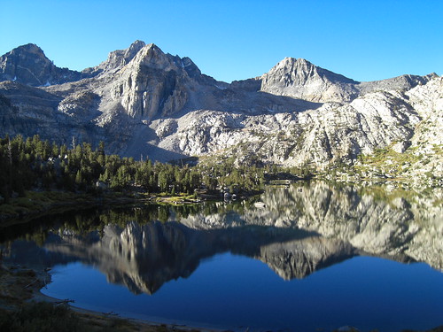
The summit blocks were fun and we earned some great views of Rae Lakes and the King Spur.
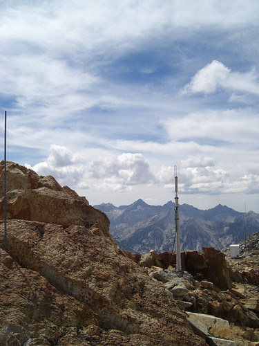
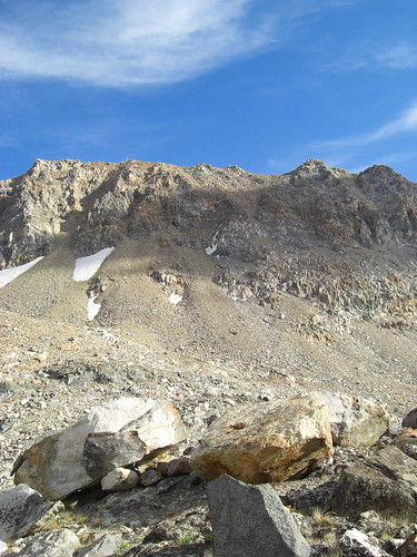
What's with all the weather equipment near the summit?
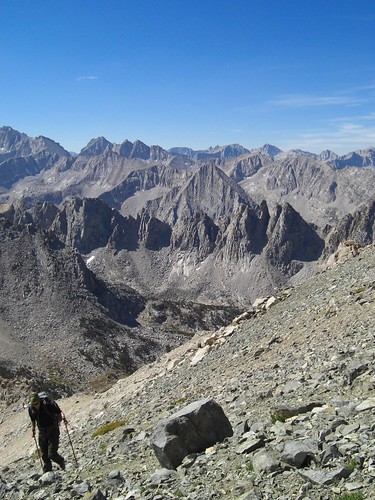
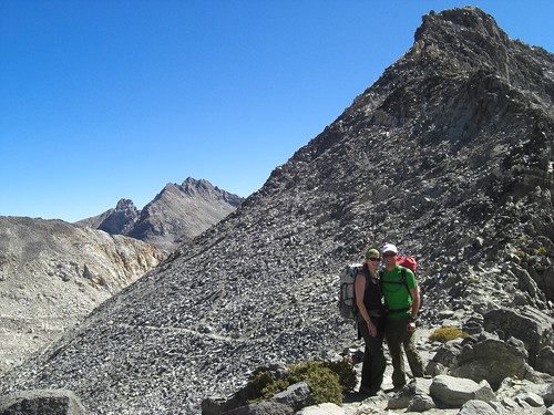
Had planned to walk the ridge over to Mt. Rixford but didn't have the energy, so I decided descending this ridge to Rae Lakes would be a good idea.
It wasn't.
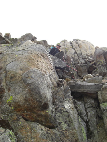
Not sure what I was thinking, and very lucky neither of us got hurt. Note the weather tower in the upper left to help judge scale.
Camped between the two lakes. The next morning we walked north a mile or so to see the area.
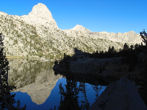
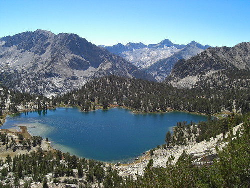
Rae Lakes has got to be one of the most scenic places in the world.

Took the PCT over Glenn Pass
Headed back up Kearsarge Pass and were at the car 48 hours after we began
Fun, quick trip, here are the rest of the photos: http://www.flickr.com/photos/travistetz ... 303533455/
Left Los Angeles around 1:30 and were on the trail to Kearsarge pass by 5:15. Felt a few drops of rain but nothing came of it.
Camped at Gilbert Lake- it was really windy. The next morning, from Kearsarge Pass, headed up Mt. Gould.
The summit blocks were fun and we earned some great views of Rae Lakes and the King Spur.
What's with all the weather equipment near the summit?
Had planned to walk the ridge over to Mt. Rixford but didn't have the energy, so I decided descending this ridge to Rae Lakes would be a good idea.
It wasn't.
Not sure what I was thinking, and very lucky neither of us got hurt. Note the weather tower in the upper left to help judge scale.
Camped between the two lakes. The next morning we walked north a mile or so to see the area.
Rae Lakes has got to be one of the most scenic places in the world.
Took the PCT over Glenn Pass
Headed back up Kearsarge Pass and were at the car 48 hours after we began
Fun, quick trip, here are the rest of the photos: http://www.flickr.com/photos/travistetz ... 303533455/