
Who: Me, Jason, and Jessica
What: Backpacking
When: 7/18/18-7/23/18
Where: Inyo NF / John Muir Wilderness / Kings Canyon NP
Mileage: 36 miles (30 on trail plus 6 XC)
Elevation gain/loss: +8,700ft/-8,300ft
More photos: here
CalTopo: here
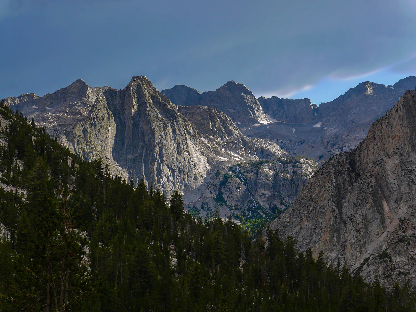
I'd been wanting to climb over Lamarck Col down Darwin Canyon to Darwin Bench for coming on a baker's dozen years now, but wasn't quite up to going it alone and didn't have the right comrades until this past summer. I invited Jason, who I knew would be up for it after being a stalwart companion crossing Harrison Pass on the Circle of Solitude, and his wife Jessica. We hiked this classic trip from North Lake to South Lake amidst some wild mid-July weather, with thunderstorms every day and some of the craziest hail I've ever experienced, which resulted in landslides and a trapped car thwarting our car shuttle. Read on to see how we managed *not* to die!
Day 0
Oakland to North Lake Campground
I drove down from Oakland to Bishop, planning to arrive at the North Lake Campground in time to snag one of the first-come-first-served spots. The drive down was plagued by dust from the Ferguson Fire, which was burning through western Yosemite awfully enough that the park evacuated and closed the Valley. Instead of taking the normal route on Highway 120 over Tioga Pass, I took Highway 108 over Sonora Pass. Highway 120 wasn't closed when I left in the morning, but I didn't want to risk getting stuck and backtracking. The smoke was super intense as I neared Sonora and I wore a mask in my car. I arrived at North Lake Campground around 2pm and grabbed a spot, set up my tent and poked around a bit before heading back down to Bishop to work at a coffee shop for five hours or so. I'm thankful to be an academic, so I can take my work on the road and squeeze out hours here and there, even writing on my laptop at campgrounds sometimes.
I returned to the campground around 8pm and read for a while before tucking into my sleeping bag, only to be awakened by some obnoxious late-arrivers at the neighboring campsite to mine, who left their car lights shining directly on my tent for 15 minutes while they set up camp, only to be followed by an hour of uselessly shining headlamps into my tent for an hour before I finally said something. Please, if you are arriving at a campsite late at night (this was nearly midnight), be considerate of other campers. When your headlamp catches the guylines and body of a neighboring tent, you can be sure that you just lit up your neighbors sleep cocoon like a supernova. How rude.
Day 1
North Lake to Lamarck Lakes
1.75 miles, +1,400ft/-0ft
I'd made plans with Jason and Jessica to meet up around noon in Bishop. We agreed to meet at Schatz's, but oops I hadn't been specific enough and they ended up at Schatz's BBQ spot while I was at the bakery---the family has small businesses in the town of Bishop pretty much on lock, with the original bakery, the BBQ roadhouse, an internet provider, a wine cellar, and lord knows what else. Well, we figured it out before too long and met up to eat some sandwiches at the bakery. After a peace-of-mind test of my emergency beacon in the parking lot, we loaded up into our two Honda Fits (lol) and headed up towards the trailhead. This route required a car shuttle and we'd decided to leave my car at South Lake and then take Jason and Jessica's car up to the North Lake trailhead.
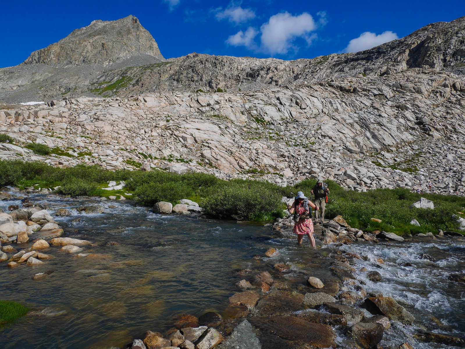
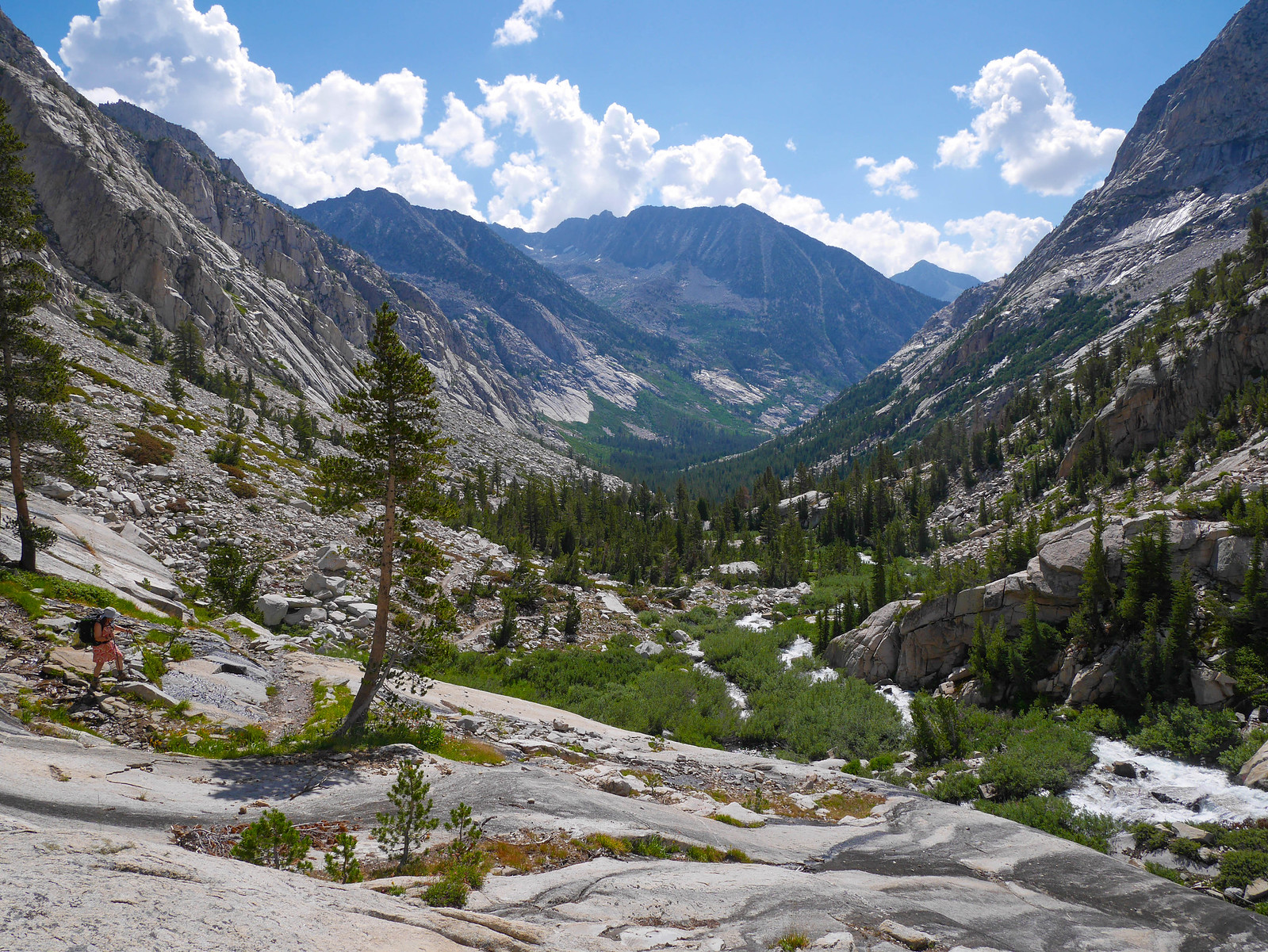
The dark clouds started gathering as we dropped my car off at South Lake, which wasn't unexpected given the forecast, but we soldiered on, loading up our gear into Jason and Jessica's car. On the drive up to North Lake, the sky opened up and dumped buckets of hail down on Jason's poor car. We soldiered on up the winding road between bouts of rolling thunder and lightning, with a basic came plan of ---well, we'll just see how it is when we get to the trailhead. We hoped the storm would dissipate and give us a window of time to hike the couple miles up to Lower Lamarck Lake. We parked at the trailhead and sat in the car for about 45 minutes or so until the weather cleared up, and then we started up the trail towards Lamarck Lakes at around 4:30pm.
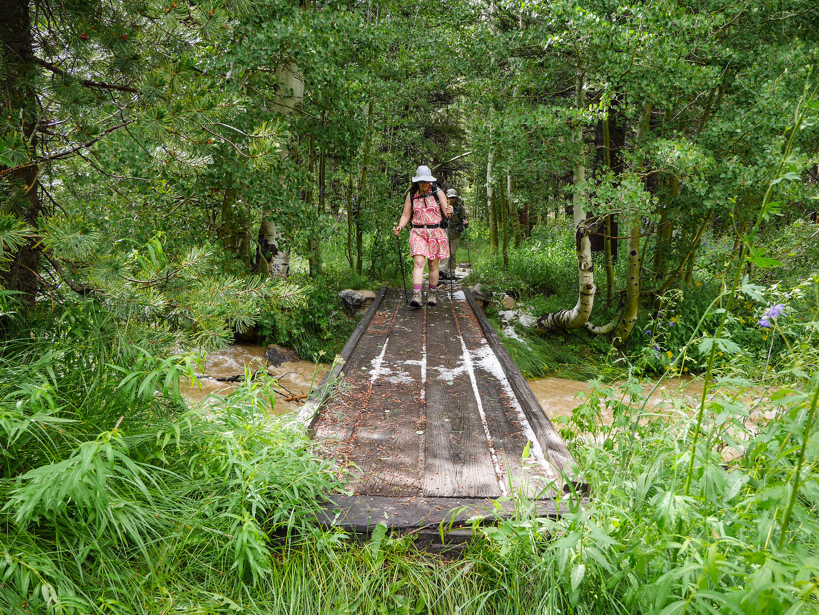
We were greeted by hail-pebbled trails and swollen creeks from the storm, but it wasn't too cold and the hiking was pleasant, even with those heavy first-day packs.
The trail is pretty much just a no-nonsense climb up to the lakes, with not too much mind blowing scenery along the way, though there are a few lovely viewpoints once the forest begins to thin as you gain elevation.
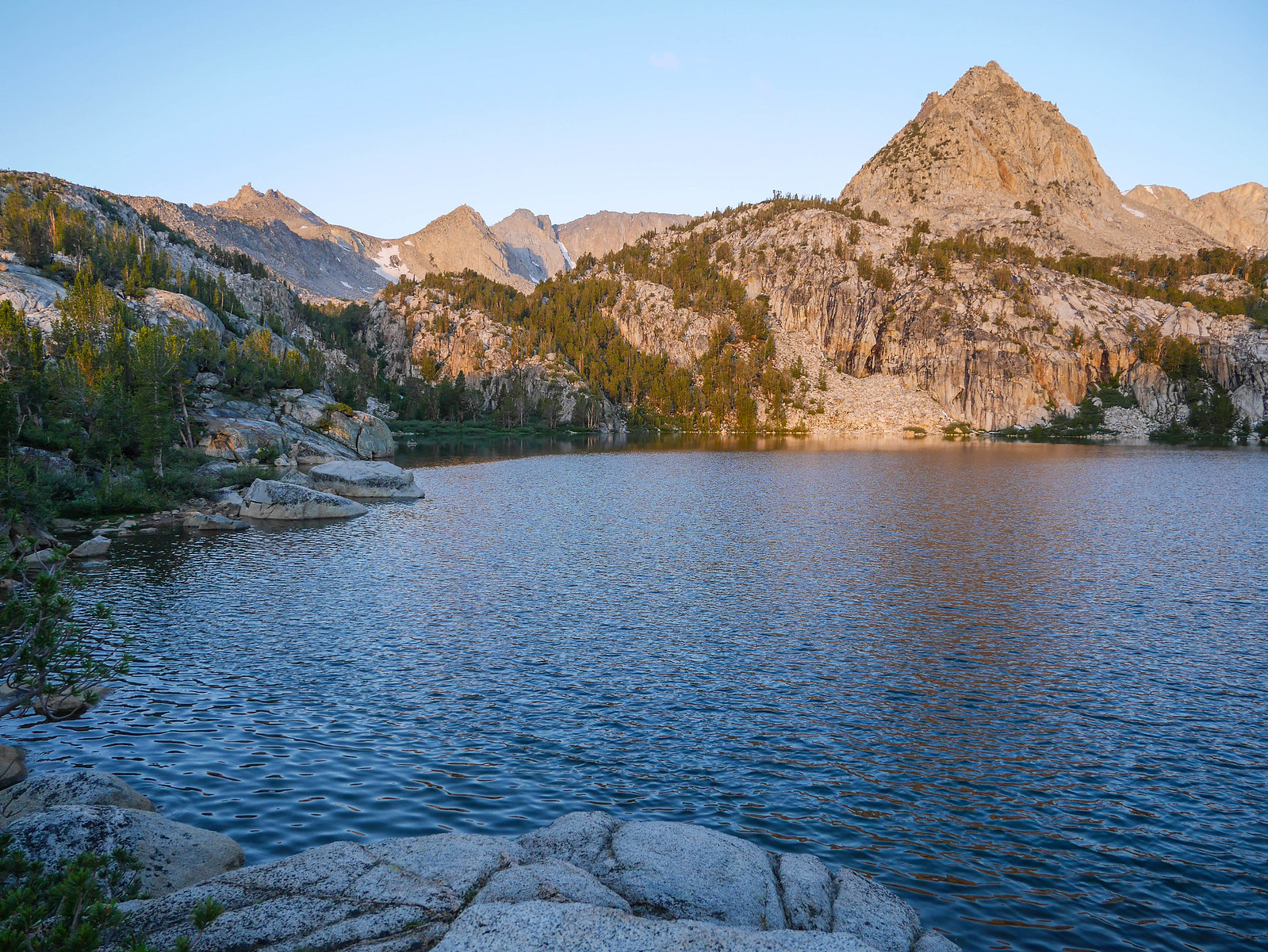
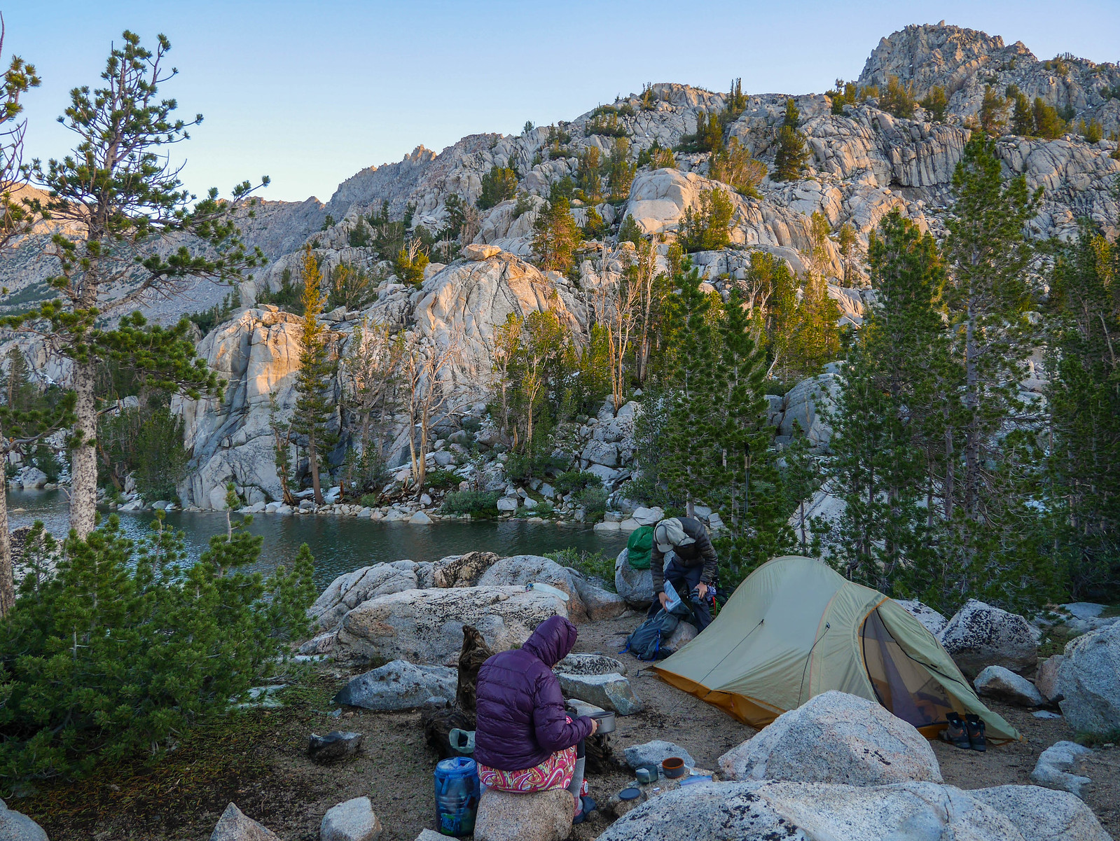
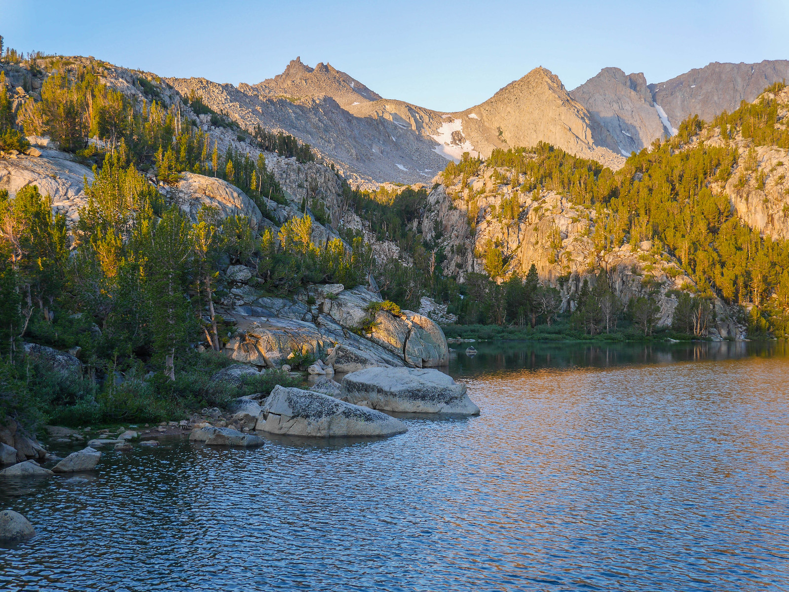
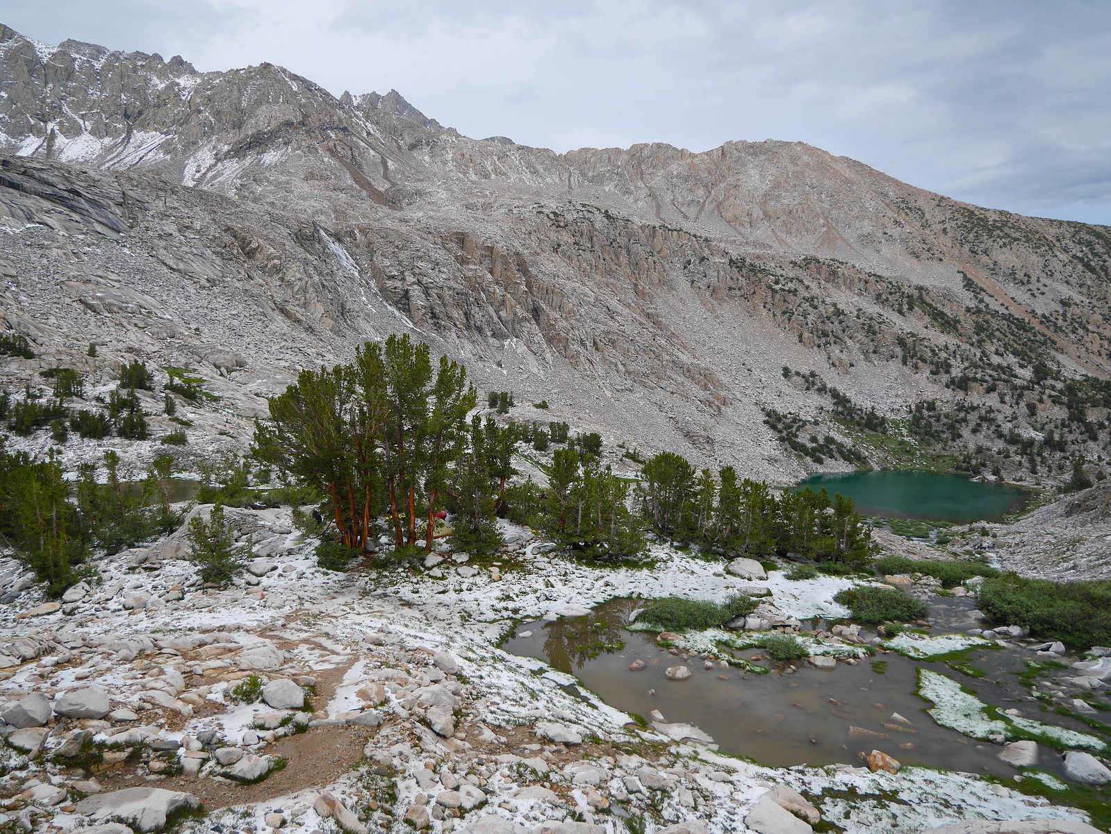
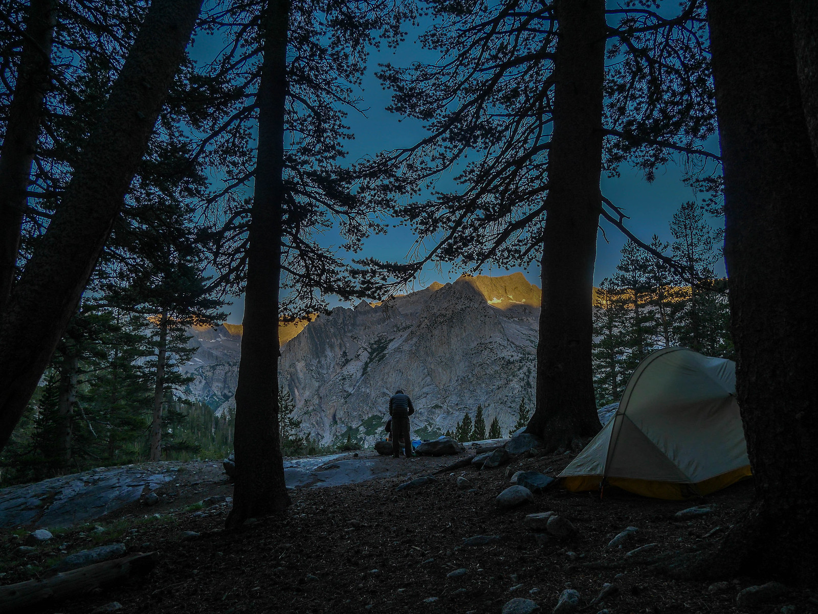
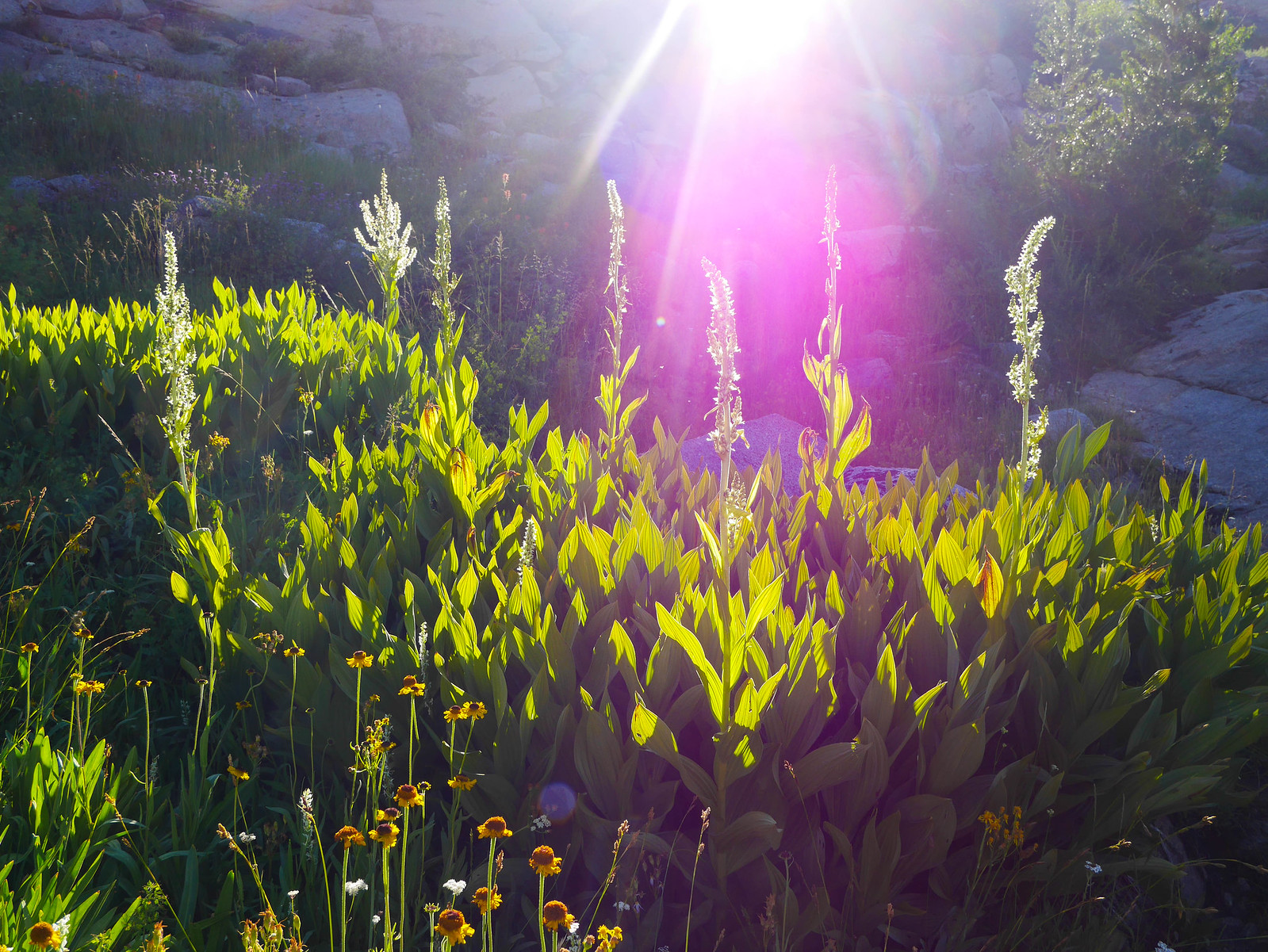
After about an hour of hiking, we arrived at Lower Lamarck Lake amidst some mood and threatening clouds that couldn't decide if they wanted to give us blue skies or a pummeling of hail.
We set up camp and went about the usual futzing to get dinner prepared.
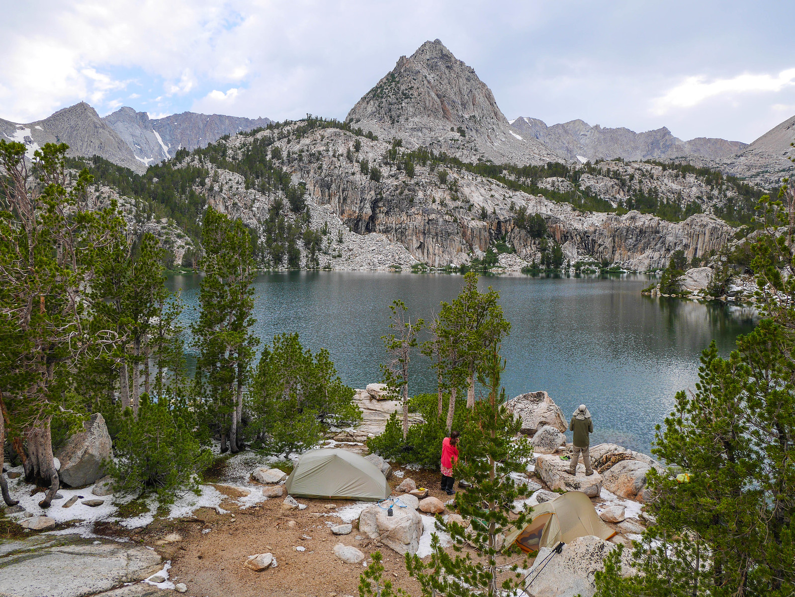
Meanwhile, a threatening storm was brewing to the south.
The storm ended up glancing over us with a light freezing rain and hail, so we retreated to our tents and socked out for the night.
Day 2
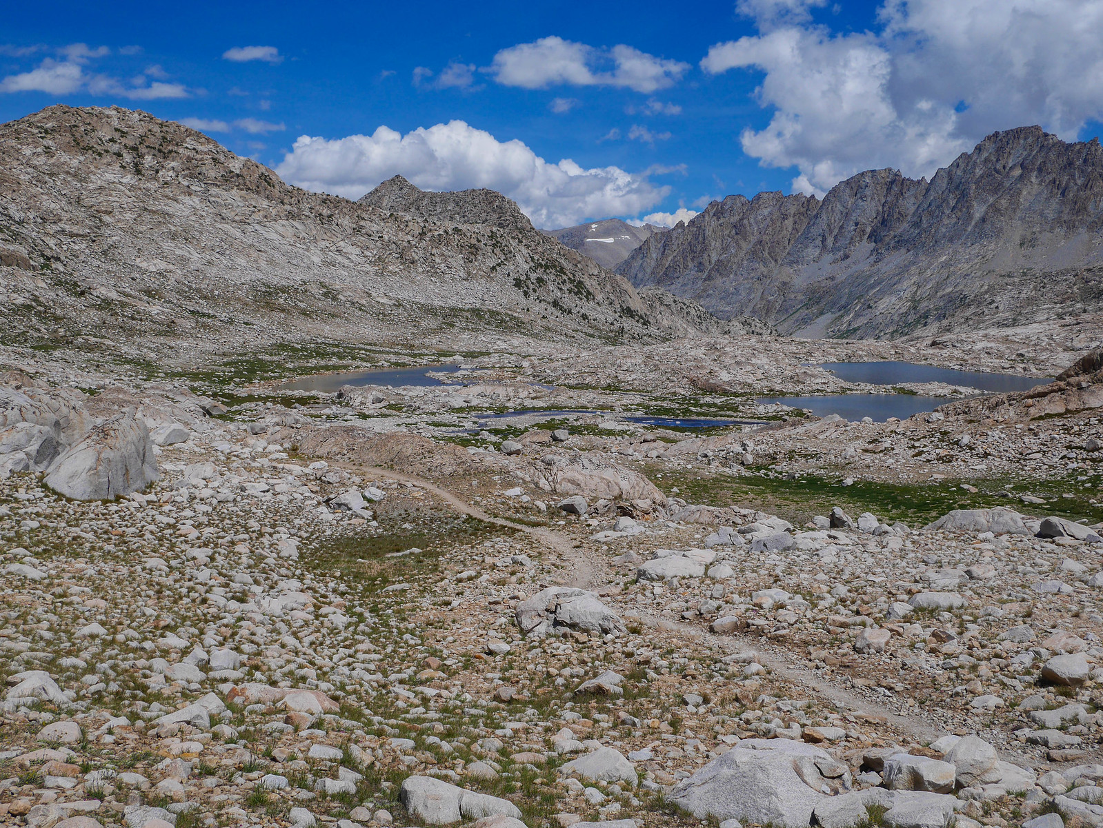
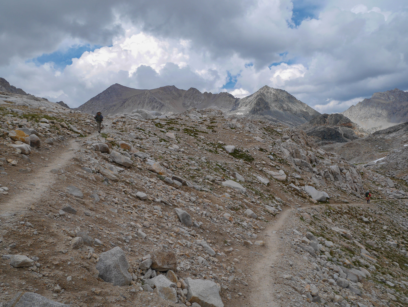
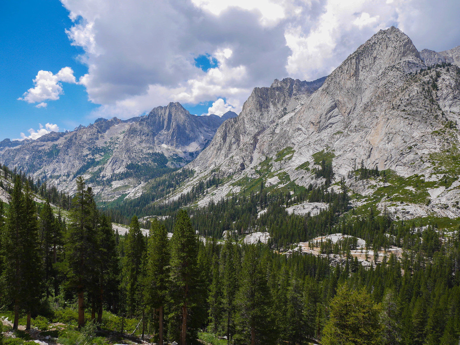
Lamarck Lakes to Darwin Canyon
0.5 miles on trail, 4 miles XC, +2,000ft/-1,100ft
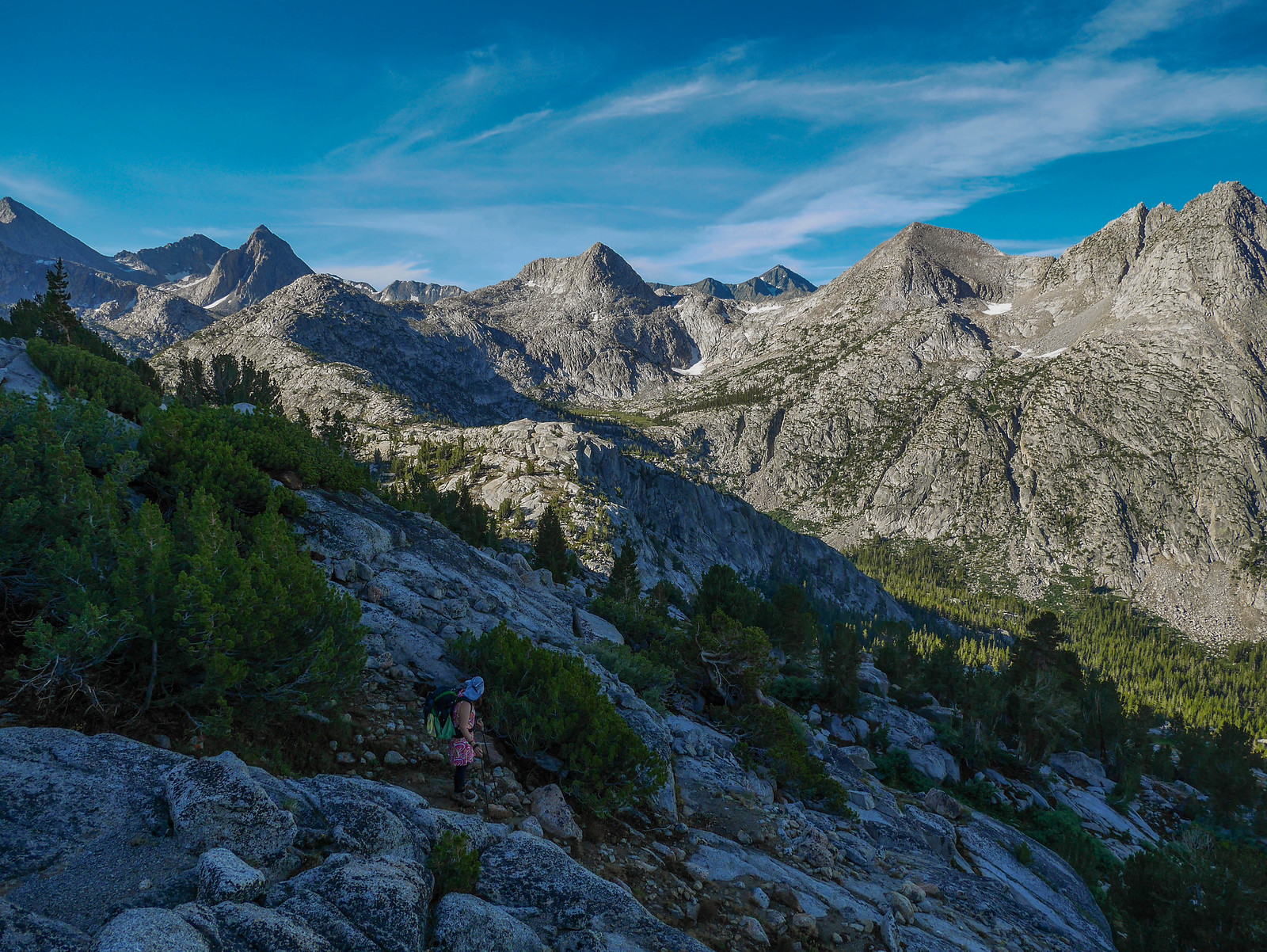
With storms in the forecast again for today ((FORESHADOWING)), we awoke at dawn in hopes of climbing over Lamarck Col and down to Darwin Bench before they rolled in.
Even without a long day ahead, rising with the sun is generally a good plan in the eastern Sierra---the mountains are incredibly high compared to land masses to the east, so the sunrise alpenglow is generally incredible.
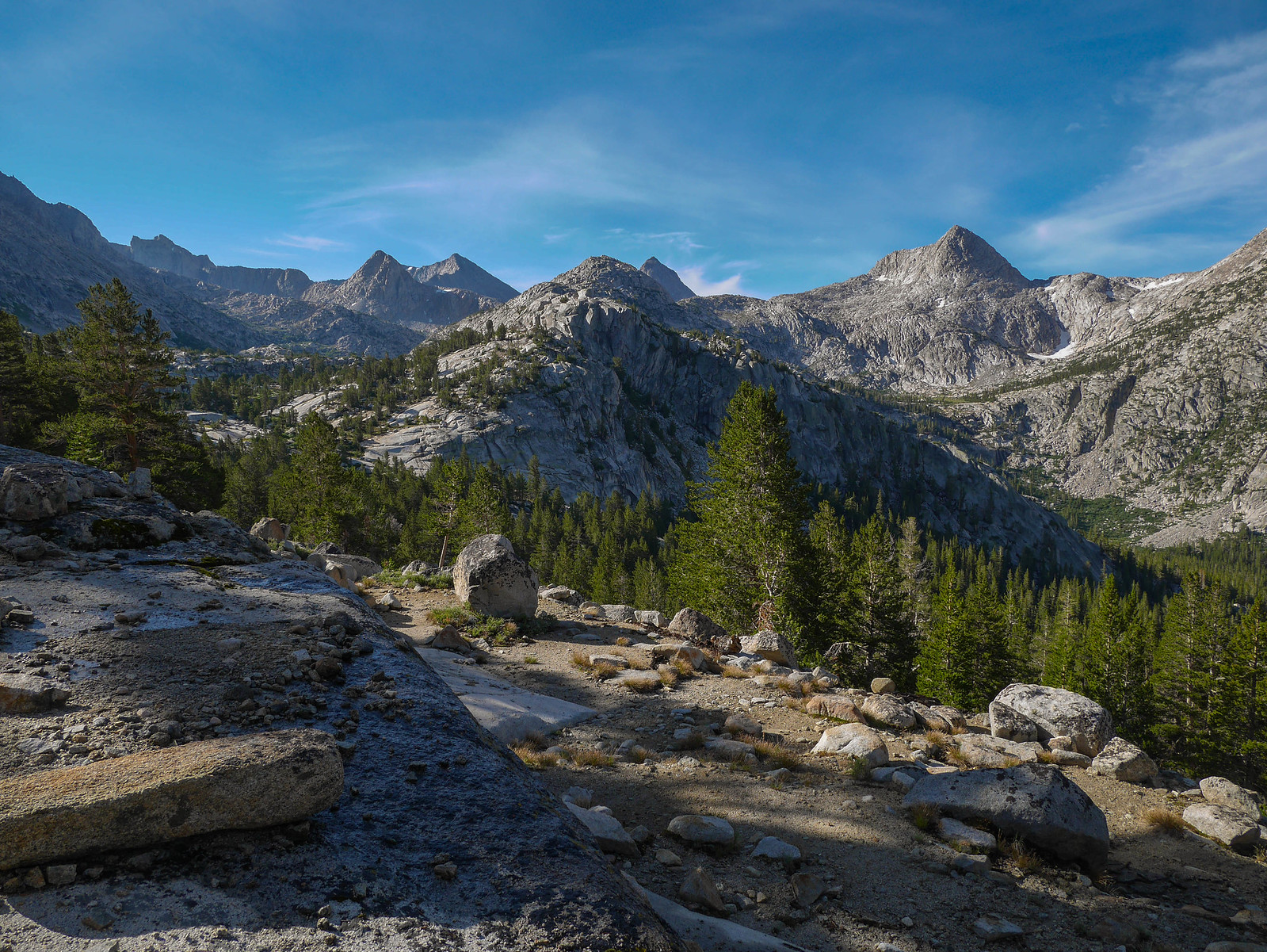
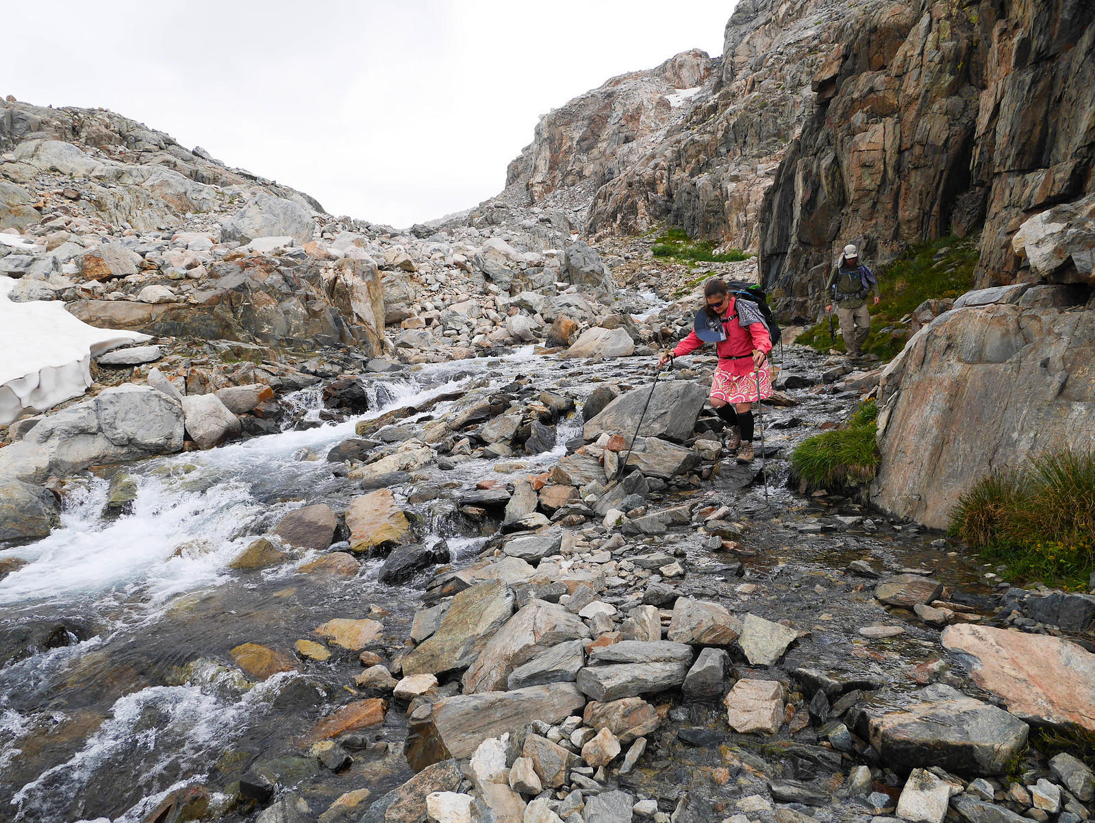
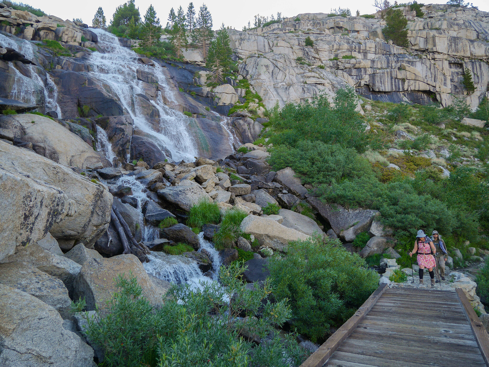
After breakfast and breaking camp, it was time to get hiking. The route up to Lamarck Col follows a trail that is maintained until you reach Upper Lamarck Lake, where it degenerates to a use trail. From our camp, we had to first cross the outlet stream of Lower Lamarck Lake before following the trail up to a signed crossing of the stream several hundred yards from the outlet of Upper Lamarck Lake.
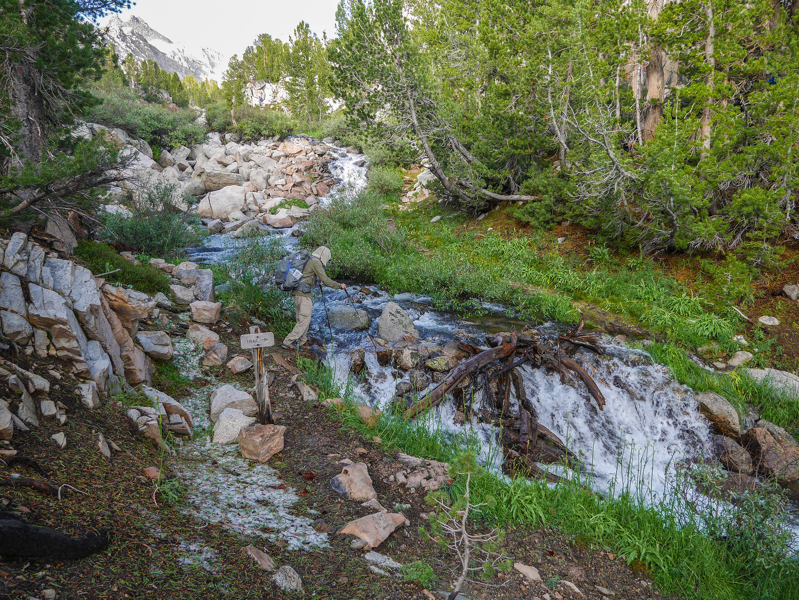
After this crossing, the trail follows along the right side (as you're ascending) of the creek for a quarter mile or so before petering out. At this point, we crossed Upper Lamarck Lake's outlet stream again and found a use trail again on the opposite side.
Everything was pretty wet, and the use trail led us through some seasonal bogs that we crept around barely managing to not dunk our boots.
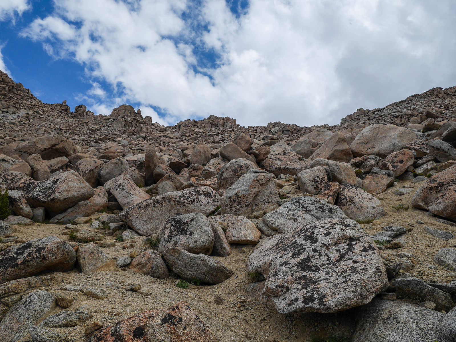
After that little boggy part of the trail, we reached a steep talus section. The trail was easy to follow here as it zig-zagged up this talus chute, but it was a bit steep through this section.
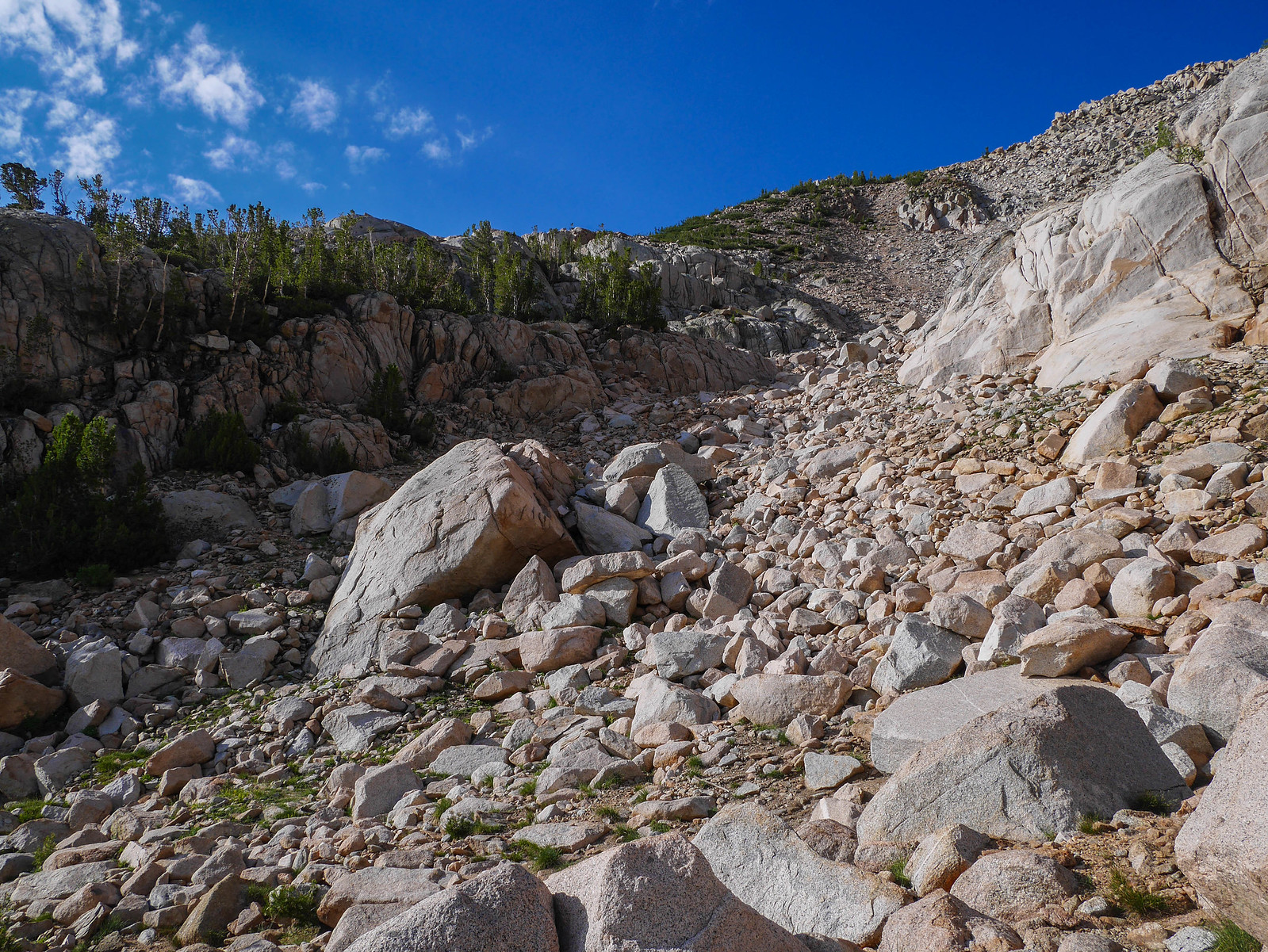
After ascending through the talus and then a quite steep scrubby slope, the trail reaches a bit of a flatter area where it curves around the nose of a ridge. We were greeted with this sketchy-looking section of trail that really was completely fine once we started on it.
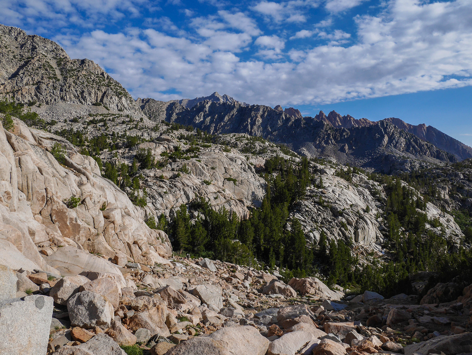
Being right at tree line, we had some magnificent views back down towards the east.
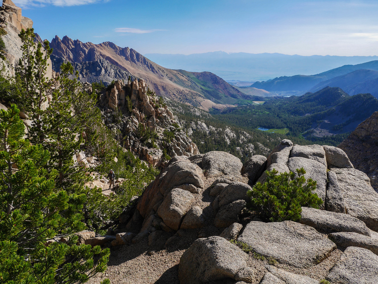
We climbed a bit more before arriving at a stream where we took a short snack break. After that we encountered the only human we'd see east of the col--a day hiker who passed us, saying he made a pact with himself to hike until 10am and then turn back because the forecast wasn't looking so great for the afternoon ((FORESHADOWING)).
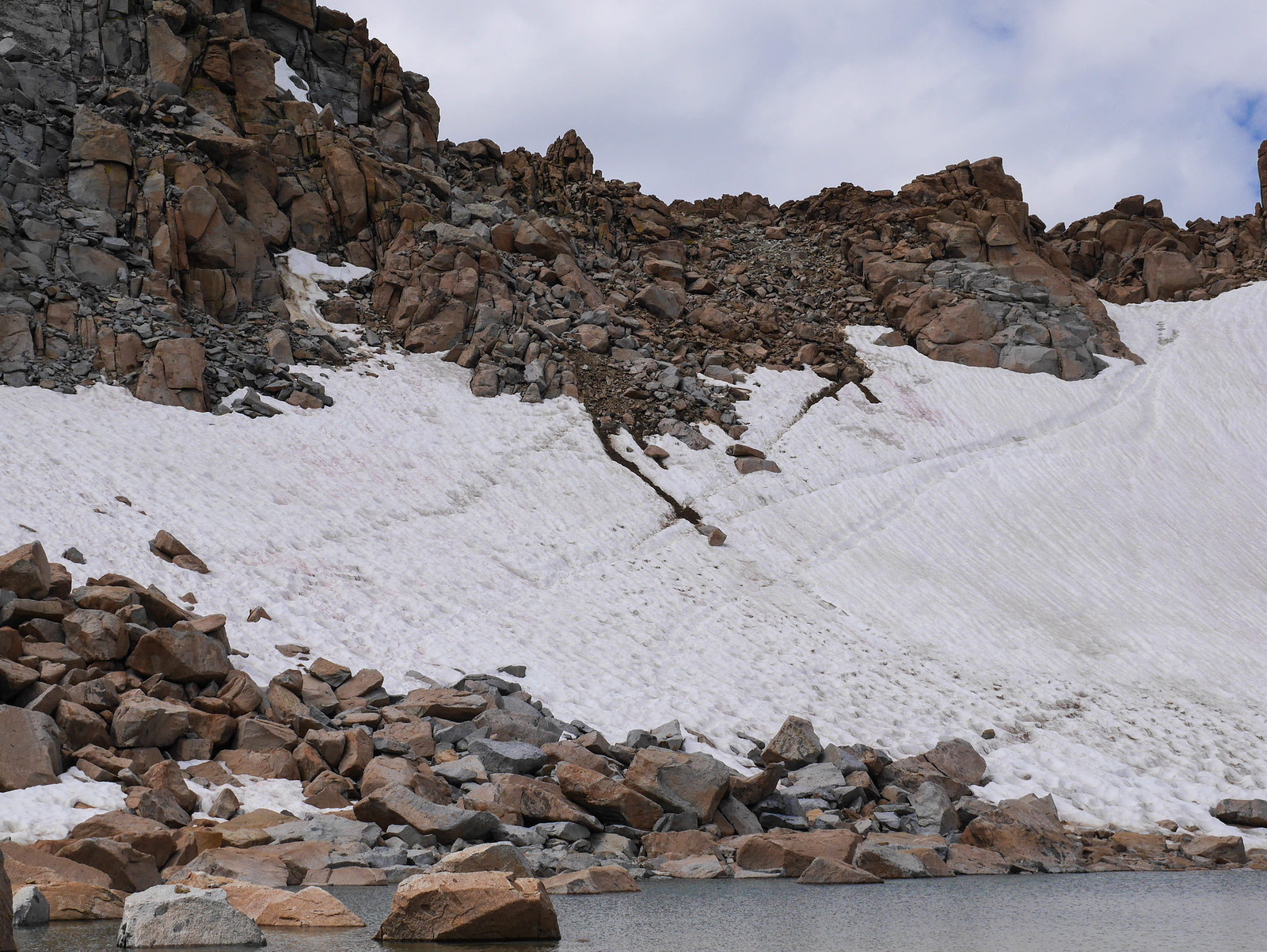
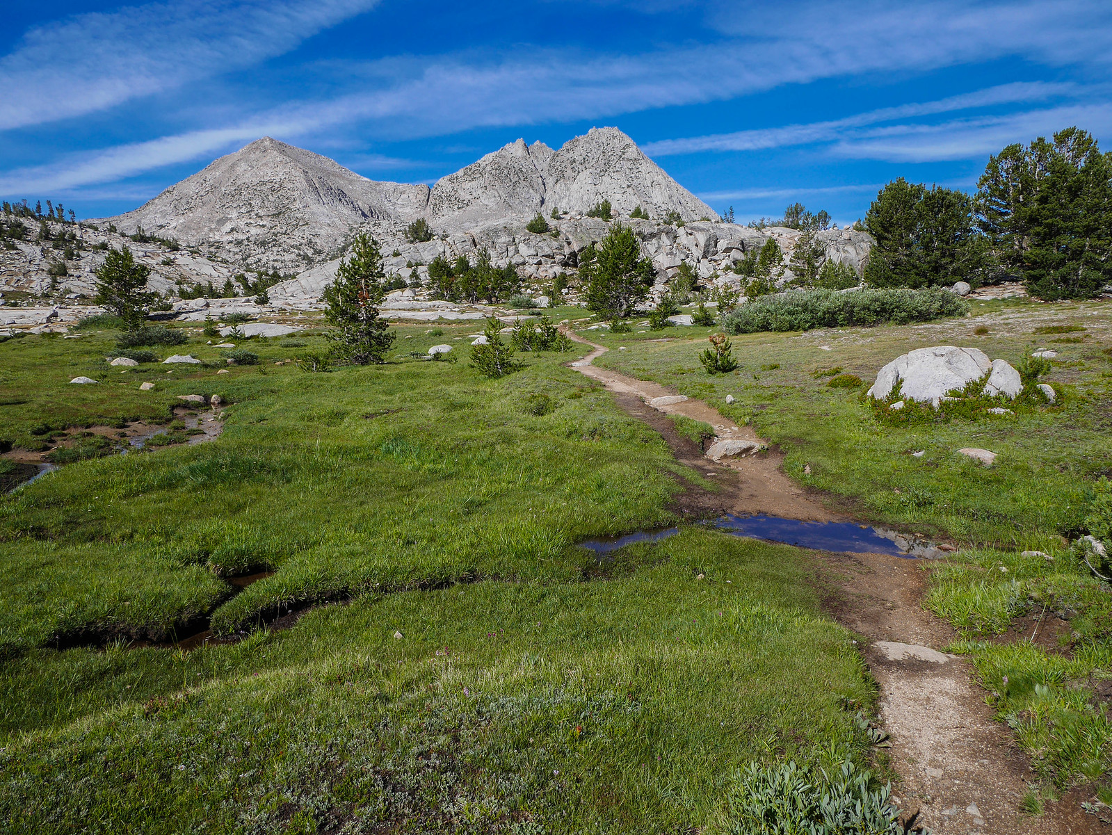
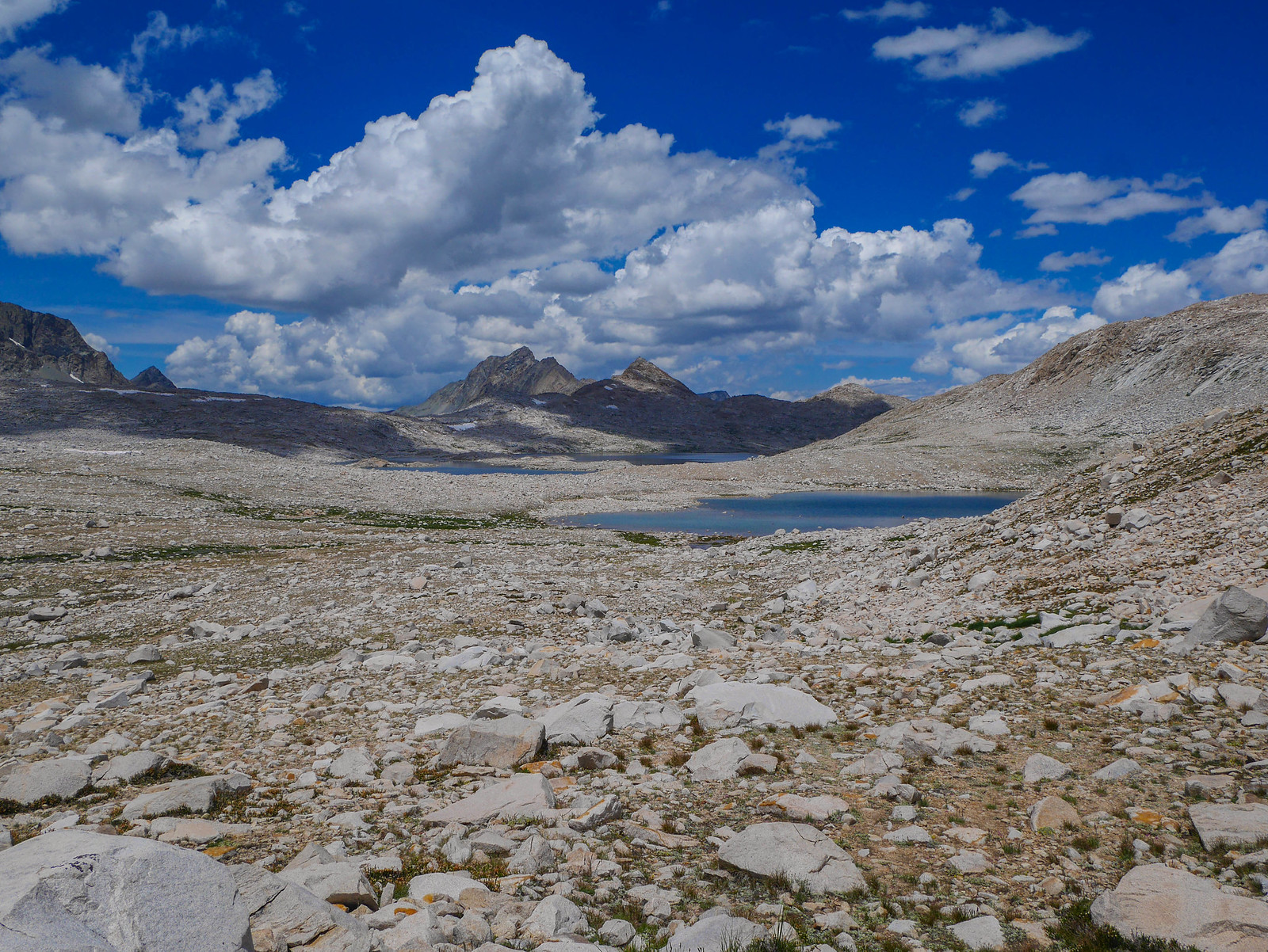
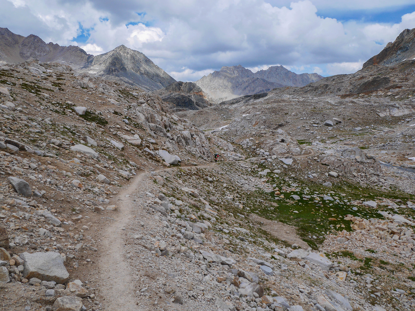
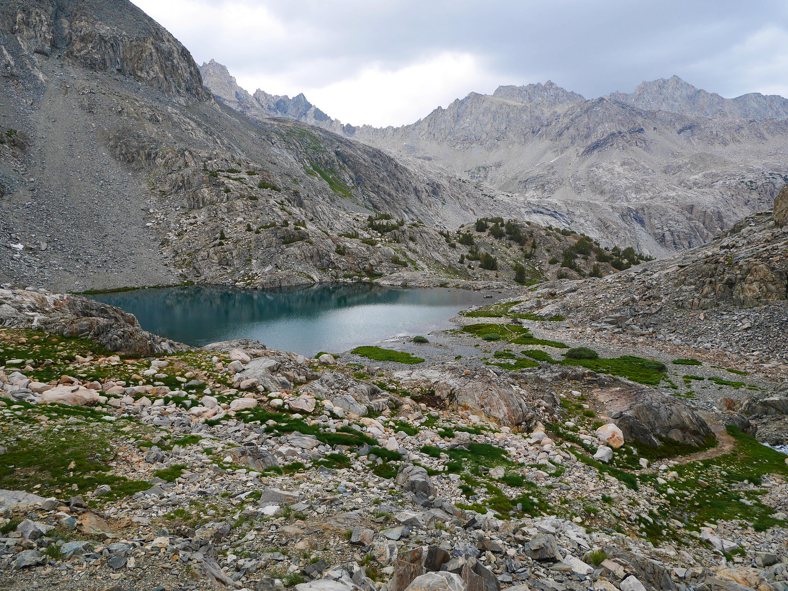
We hiked on up on the use trail, which just ascends relatively gently across gravelly slopes until we reached this snowfield. I'm not quite sure what the "proper" route is here, but the day hiker we met skipped along the rocks to the left, while we found a use trail that skirted the snowfield higher along the right. I think there are many routes that would work---just keep heading up the valley.
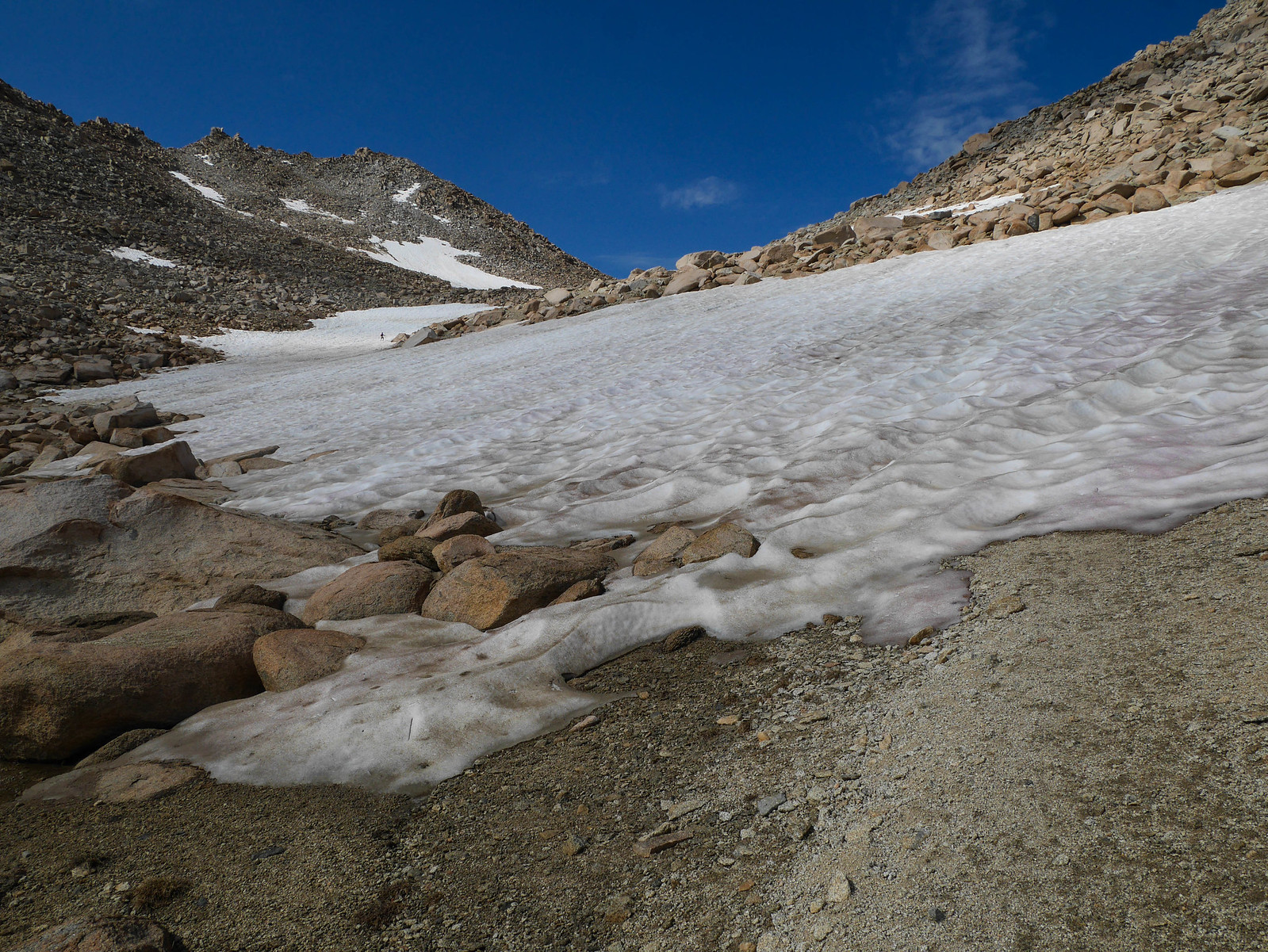
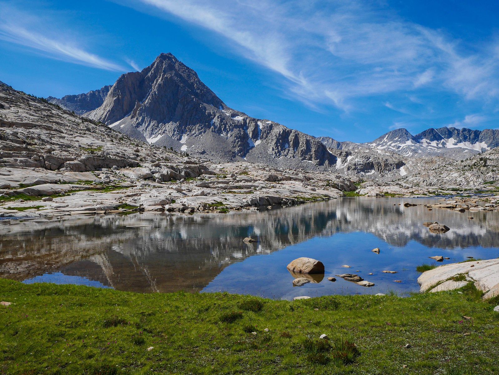
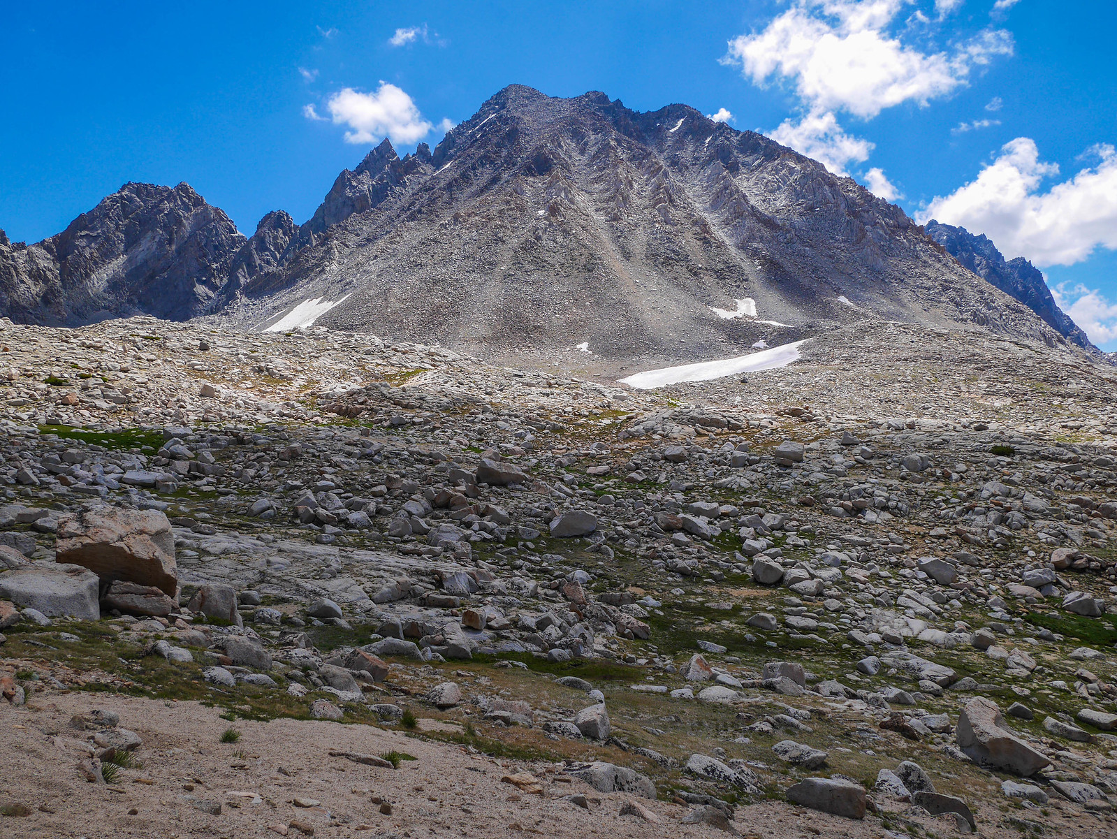
Around 10:45am we reached the last tarn directly below Lamarck Col and had to choose a route over the ridge line. I had read plenty of advice and trip reports about this section, the most reliable of which said that the true col (where the sign is) is just to the right of the little Muir Hut shaped rock much farther south (left) than most of the paths across the snowfield head. With the snowfield terminating in the tarn and having the reputation for being very icy and steep in parts, we wanted to make sure we chose the proper path.
 [/url]
See the Muir Hut shaped rock here?
Jason lead the way as we headed towards that little rock formation. We first crossed some rather large talus on the south side of the tarn, then headed up the snowfield on the leftmost and highest of the tracks across it.
This indeed turned out to be the correct choice as we found a use trail when the snowfield ended, and were lead directly to the Col where the sign is located.
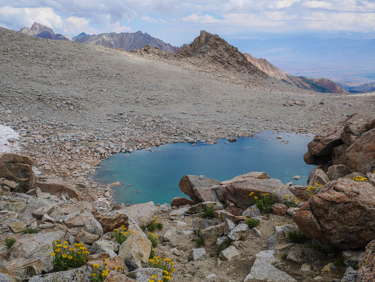
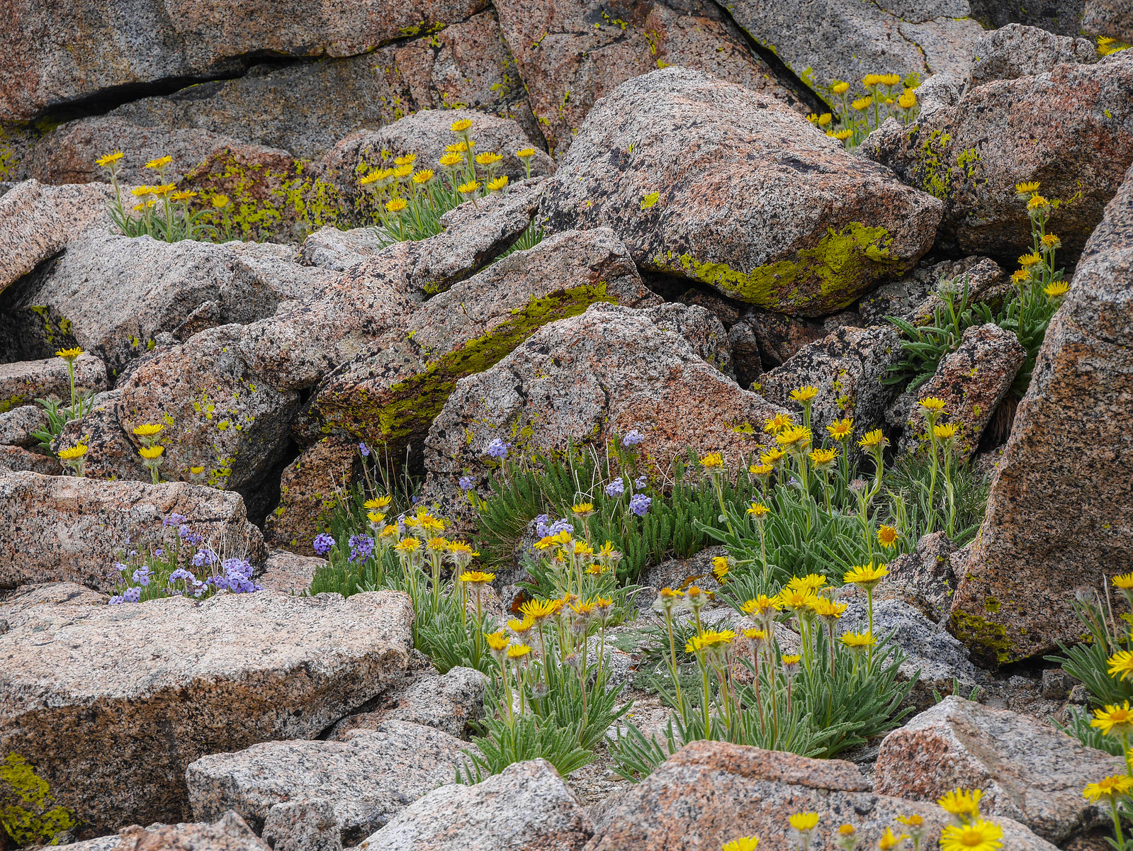
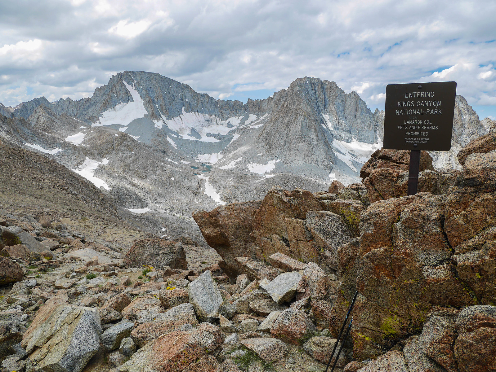
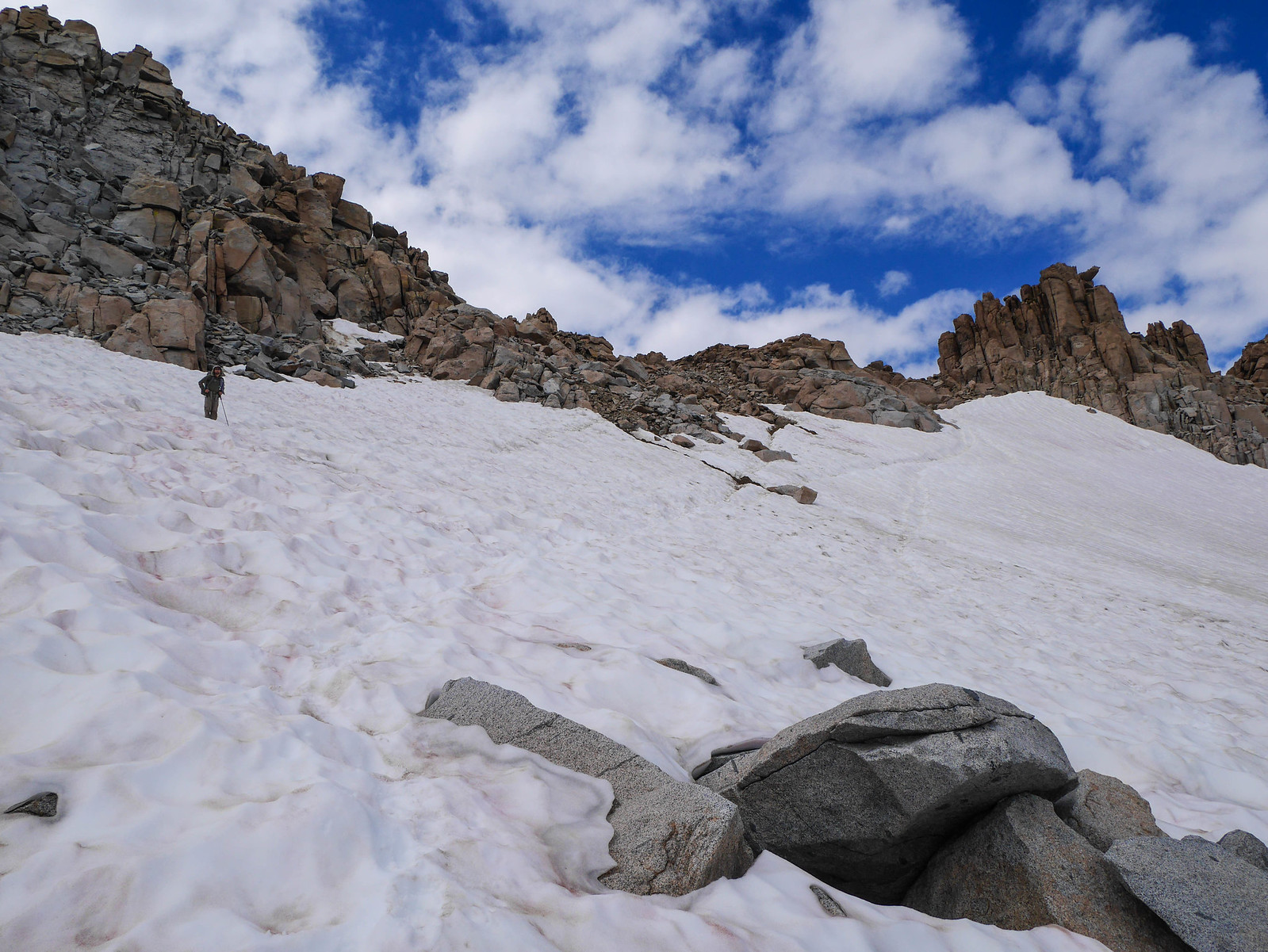
We stopped on top for a couple minutes to snaps some photos, but the clouds accumulating even though it was only 11:15am ((FORESHADOWING)) spurred us to not linger too long. Descending on the southwest side of the col, we followed a use trail that wove its way through the gravelly talus and Alpine Gold.
I'd read that it's difficult to pick out the proper col when heading east, so I stopped a few times on our way down to look up and make mental notes about where it is. To find the col when heading that way, aim for the sharp 90 degree angle approximately one quarter from the left edge of this photo.
 [/url]
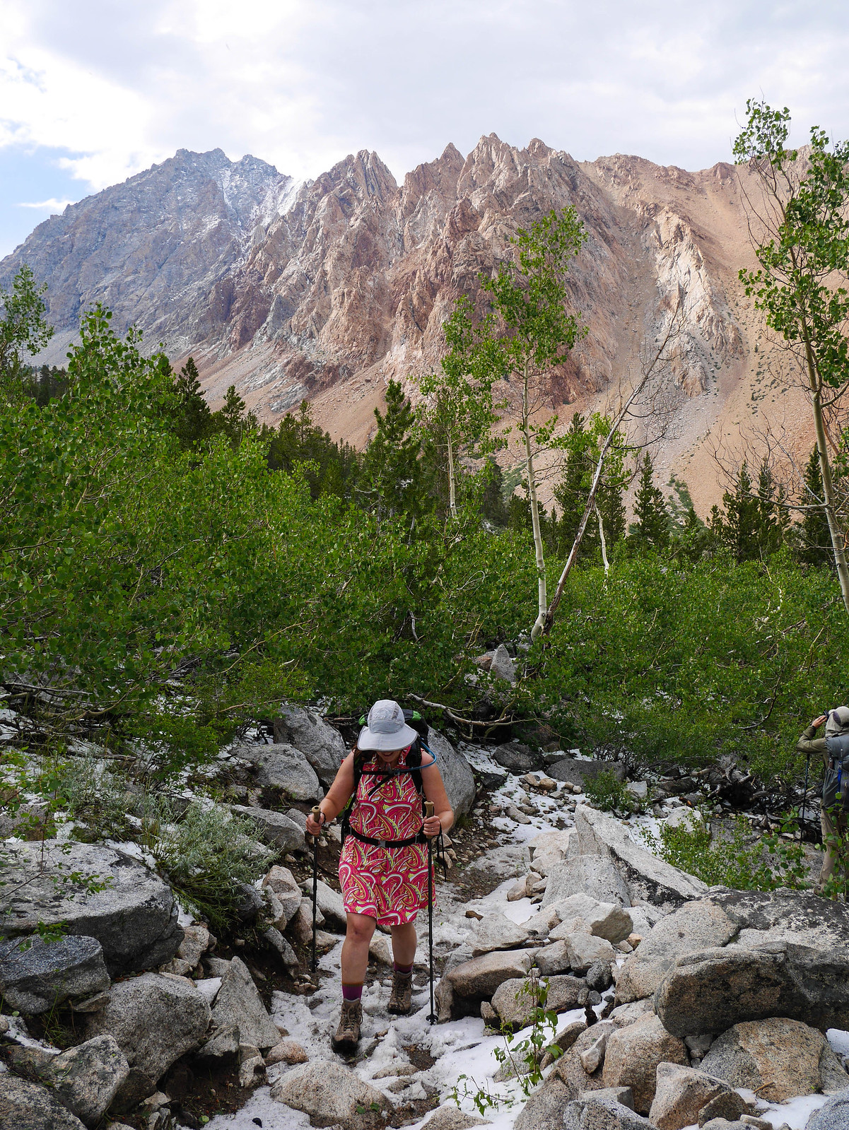
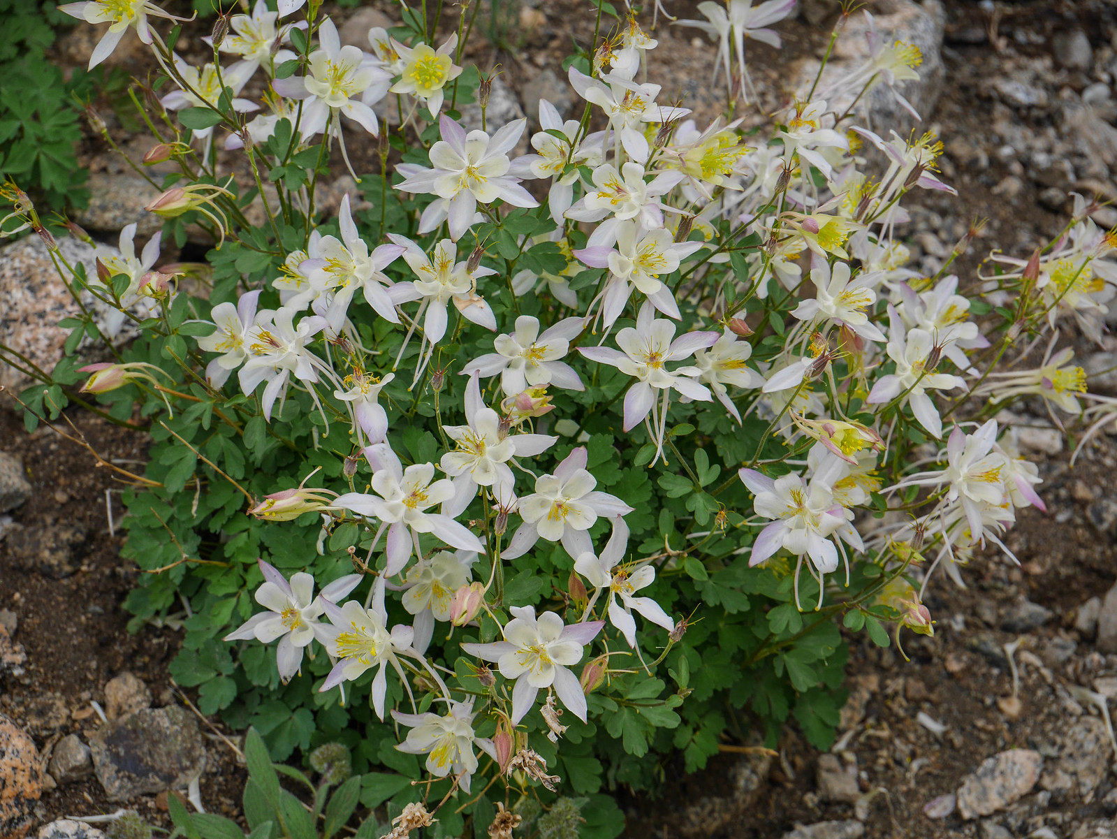
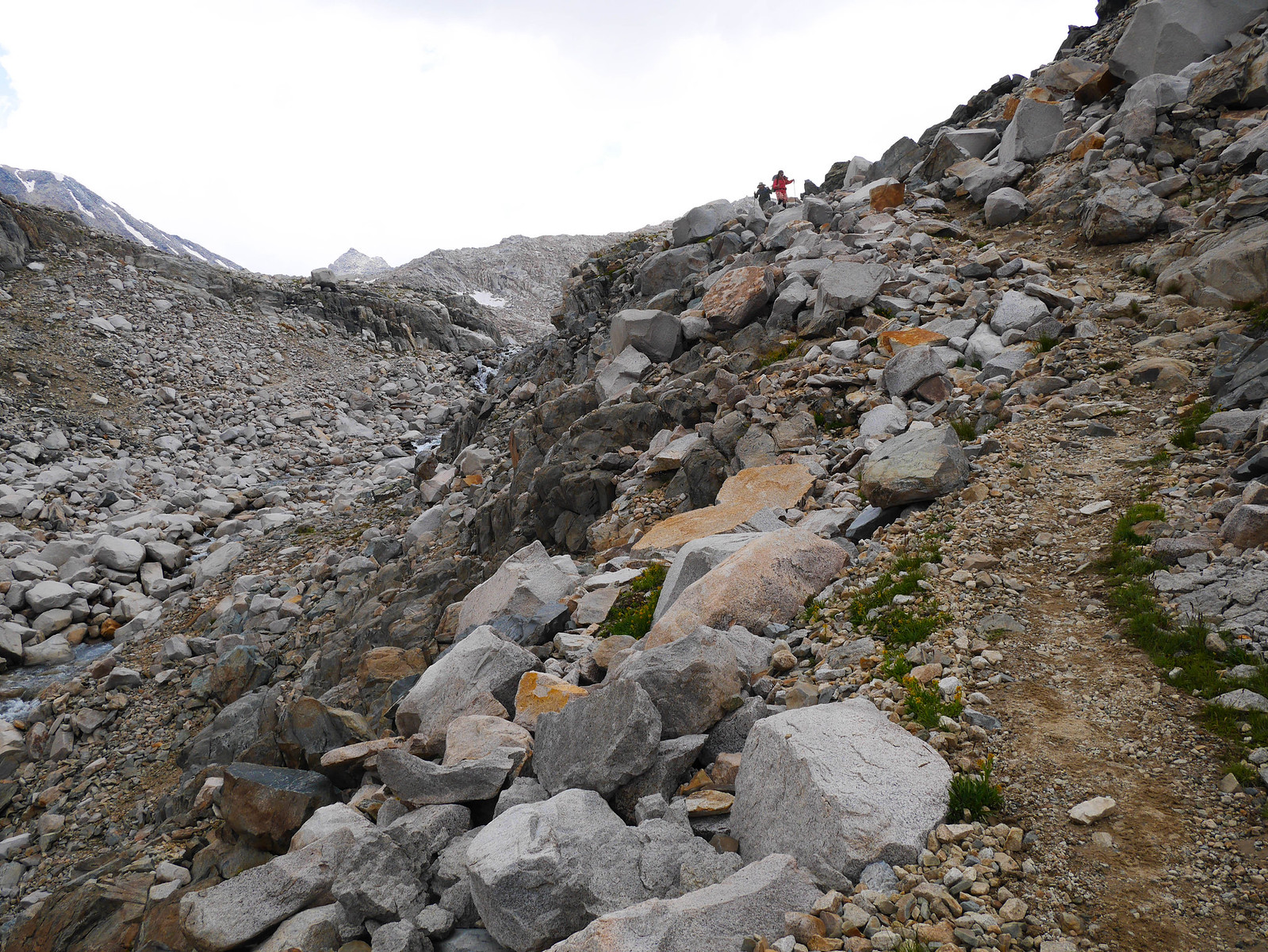
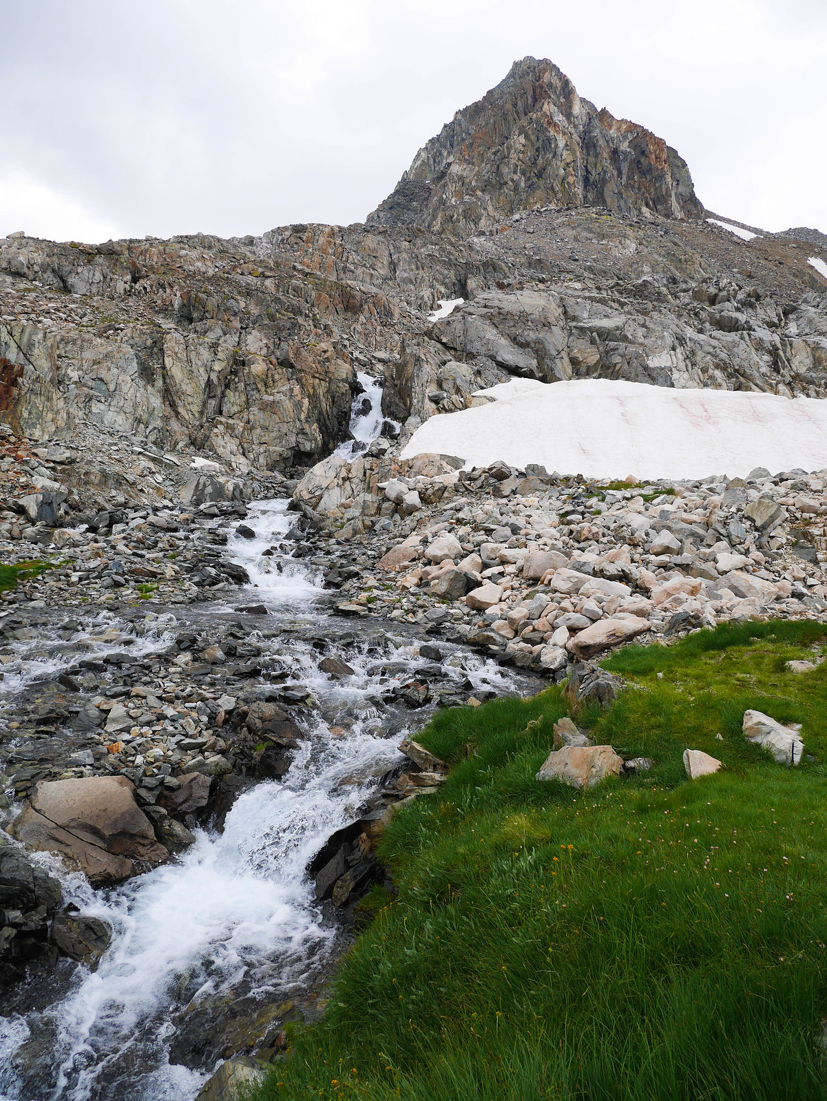
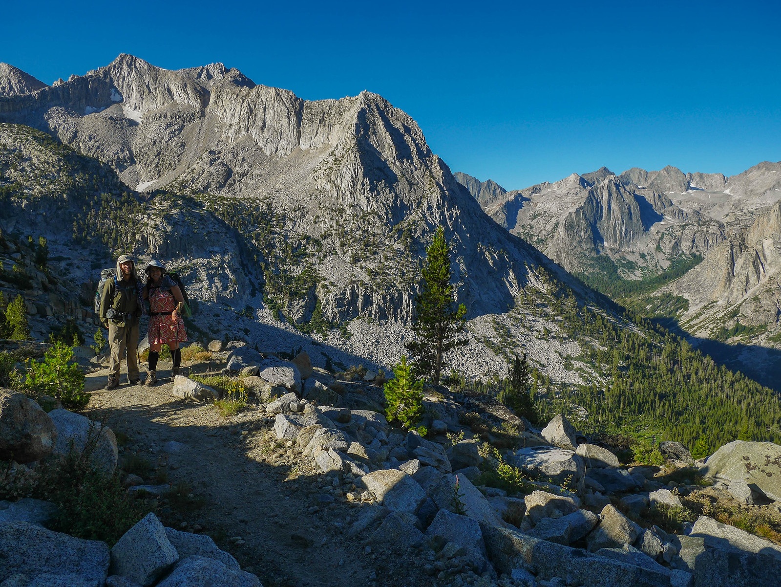
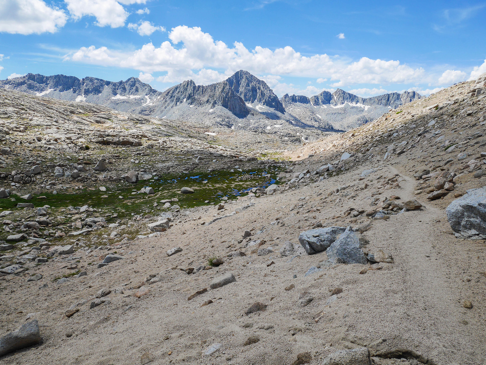
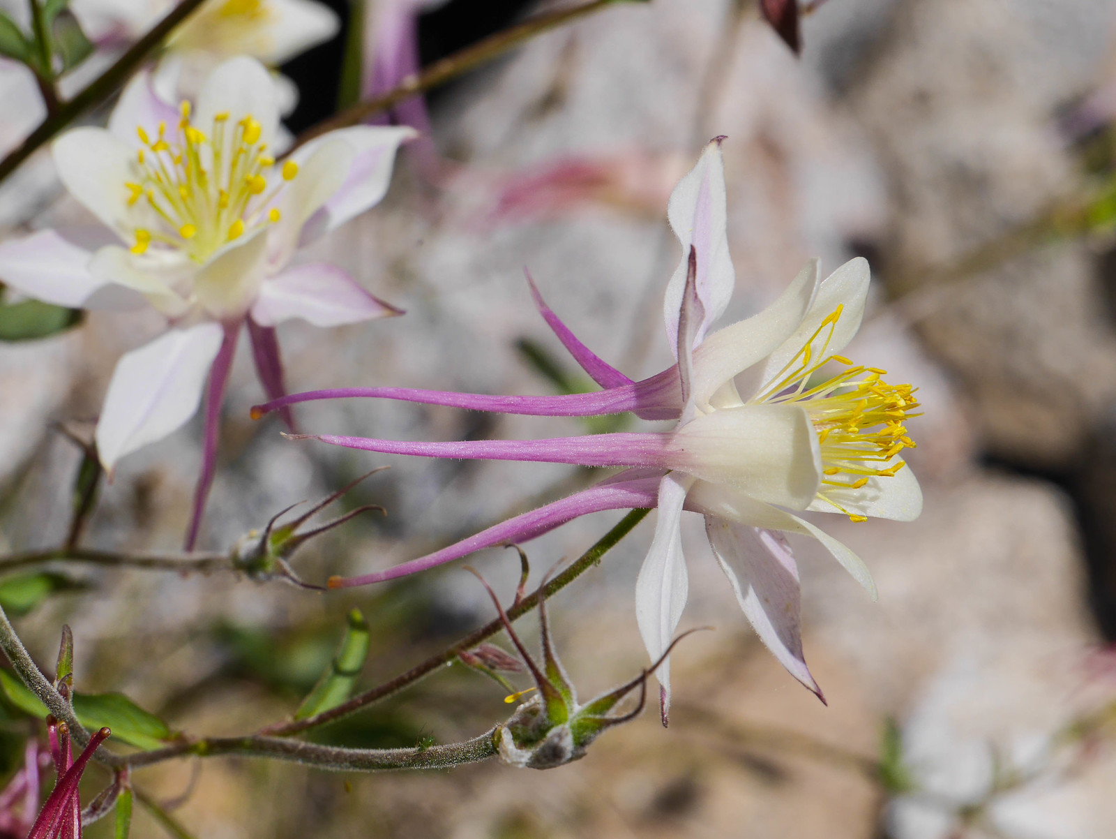
The descent on the west side of the pass isn't difficult, though there were times that the use trail petered out and if you're like me then you might get distracted by Big Mountains and Pretty Flowers.
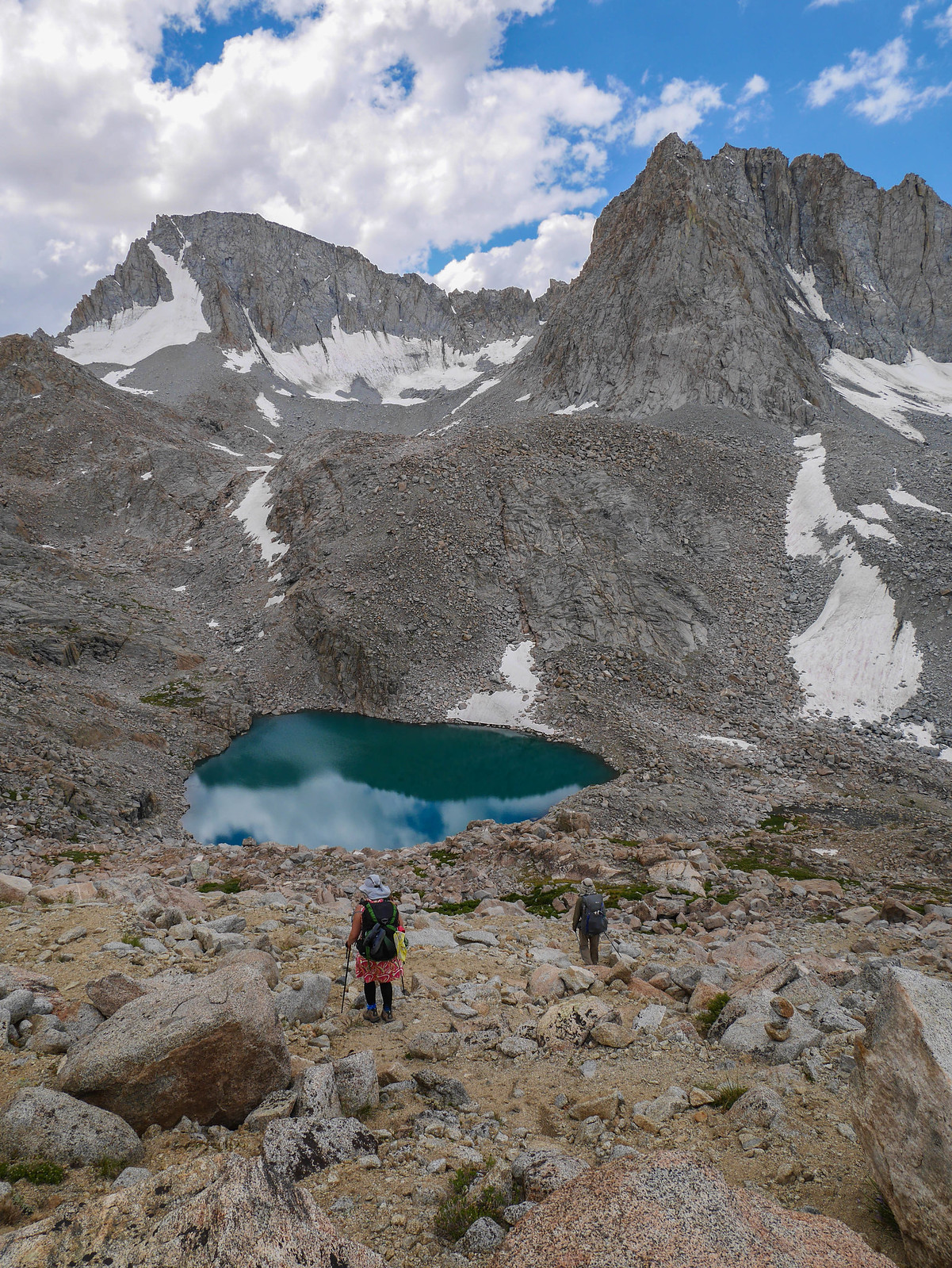
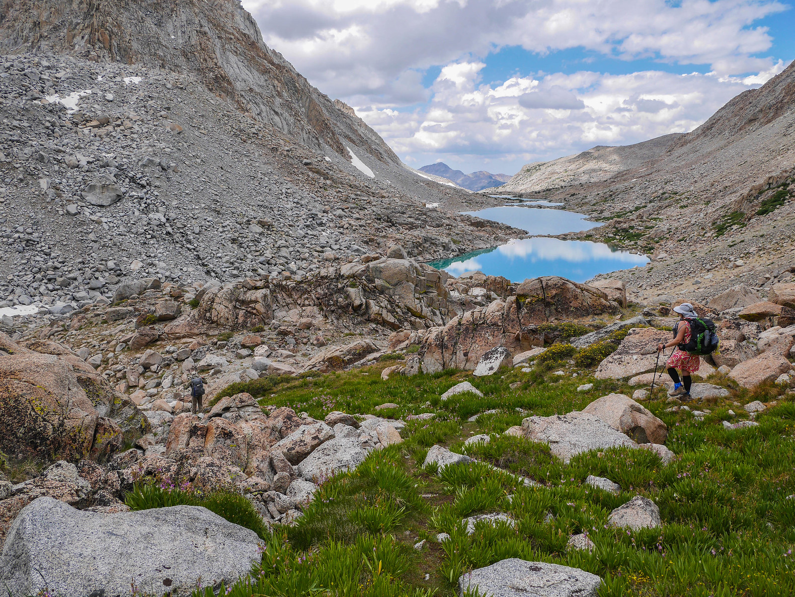
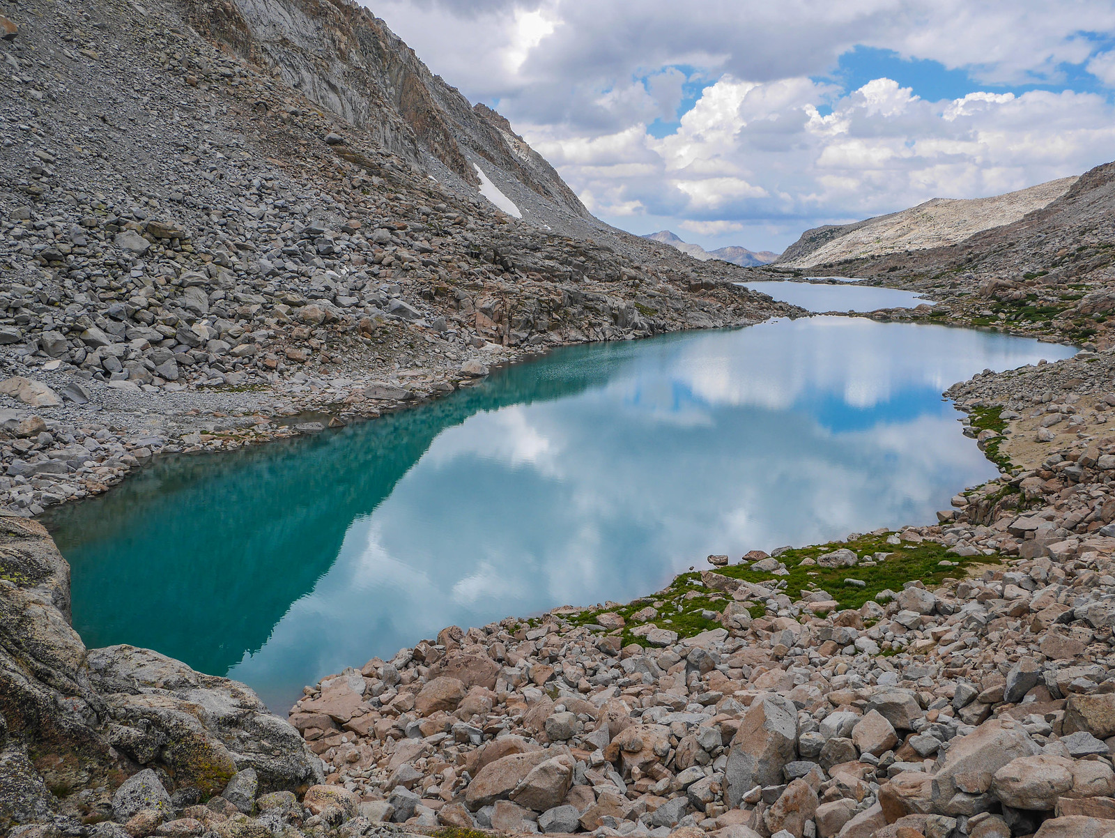
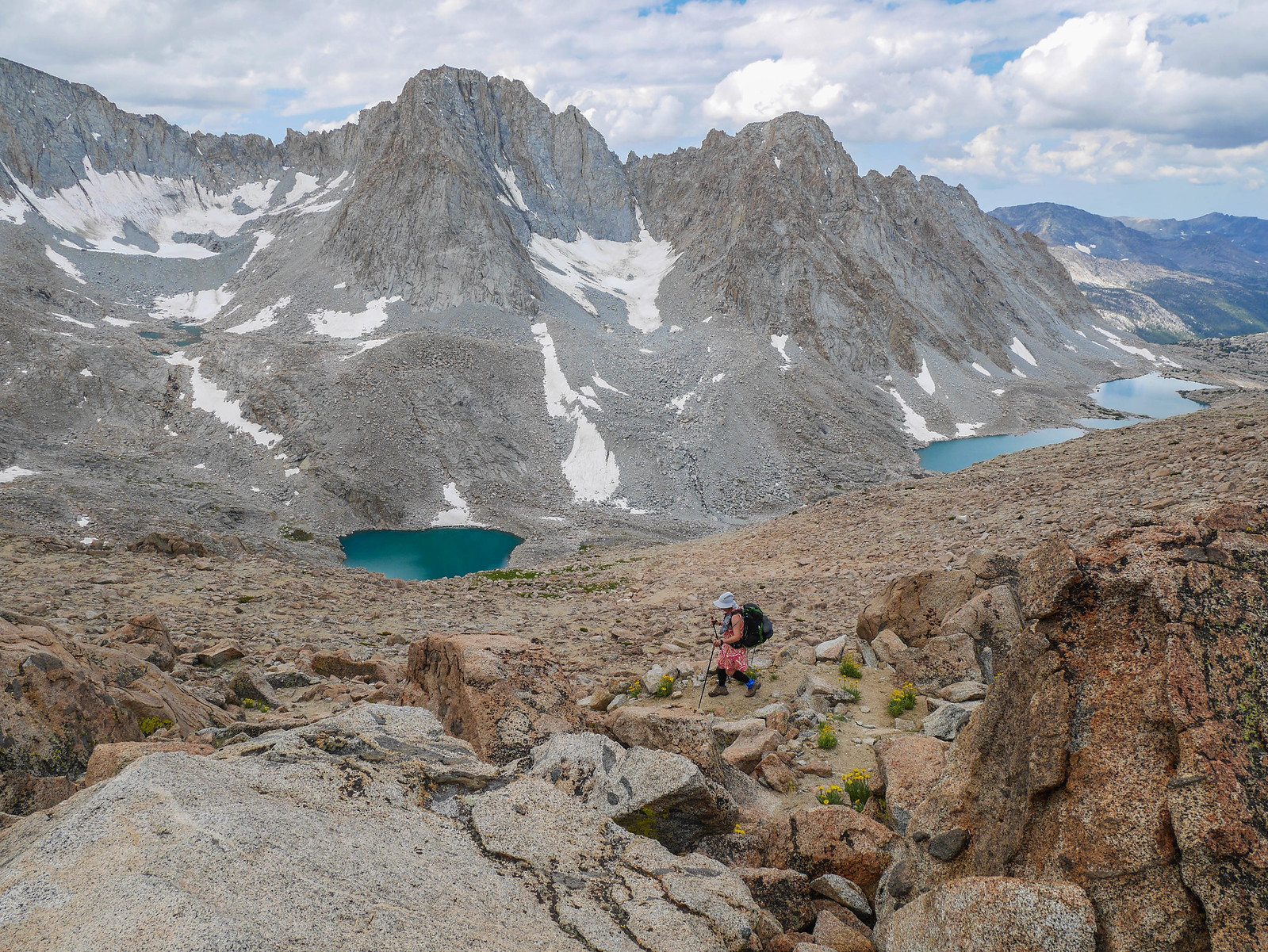
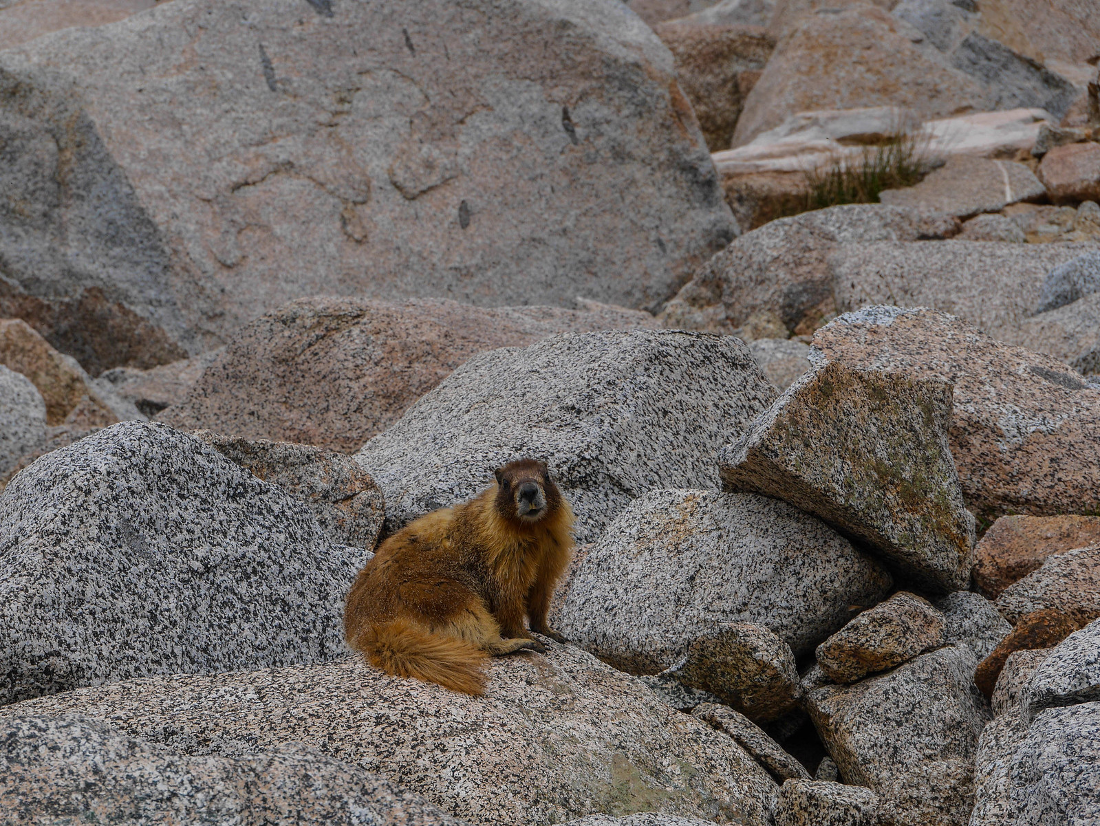
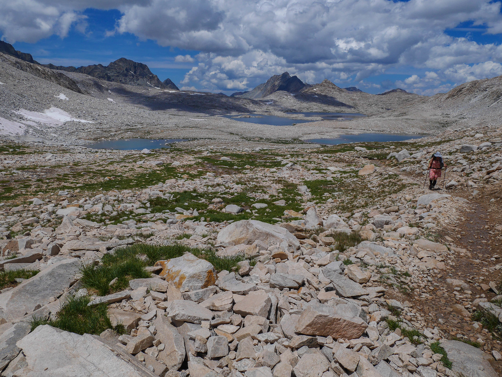
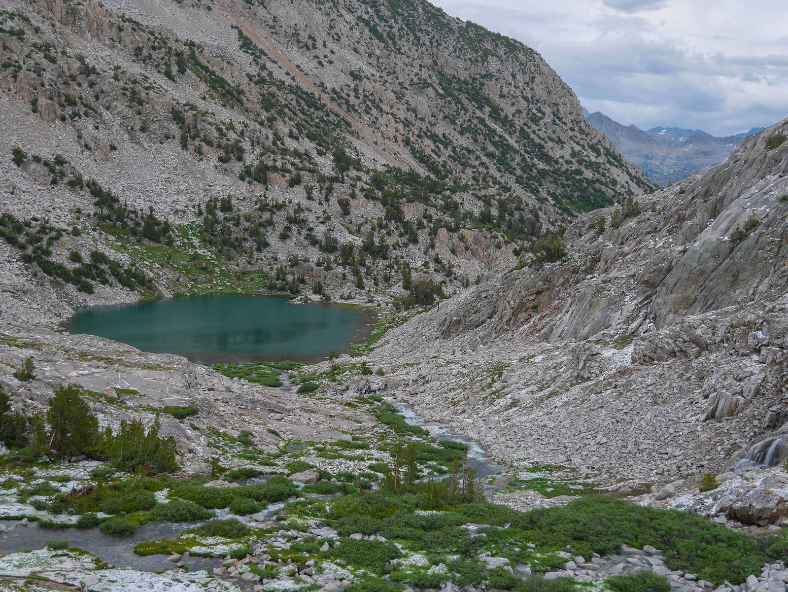
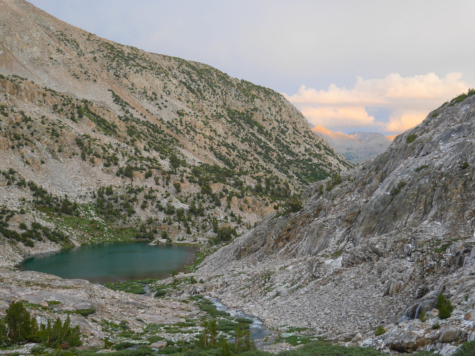
Around 12:45pm we reached the head of the first of the lakes we'd encounter on the way down, so we stopped for a water refill and snack break. We were visited by a pretty ballsy marmot---this little guy came within a couple feet of me, eyes on the prize: Reeses Pieces. He didn't get more than a hiss and sharp scolding from me, though.
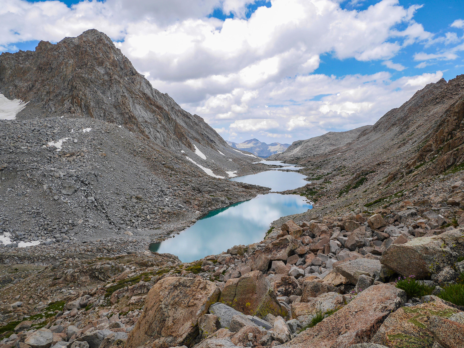
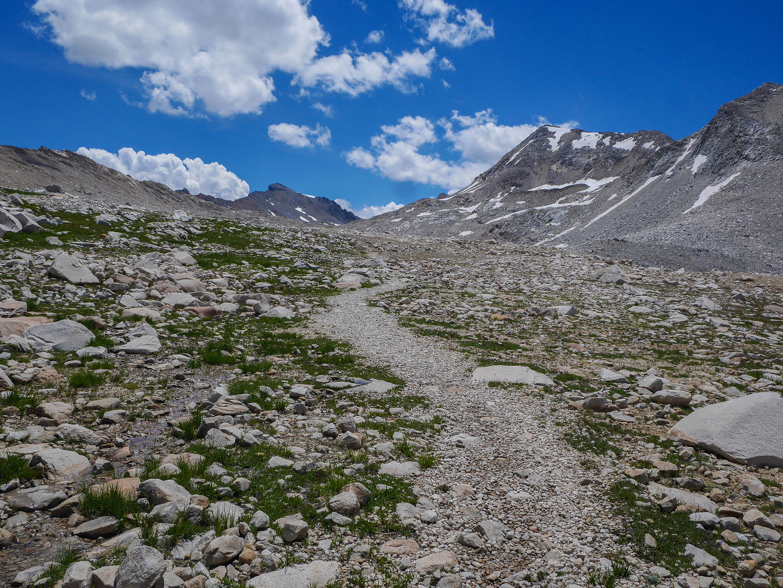
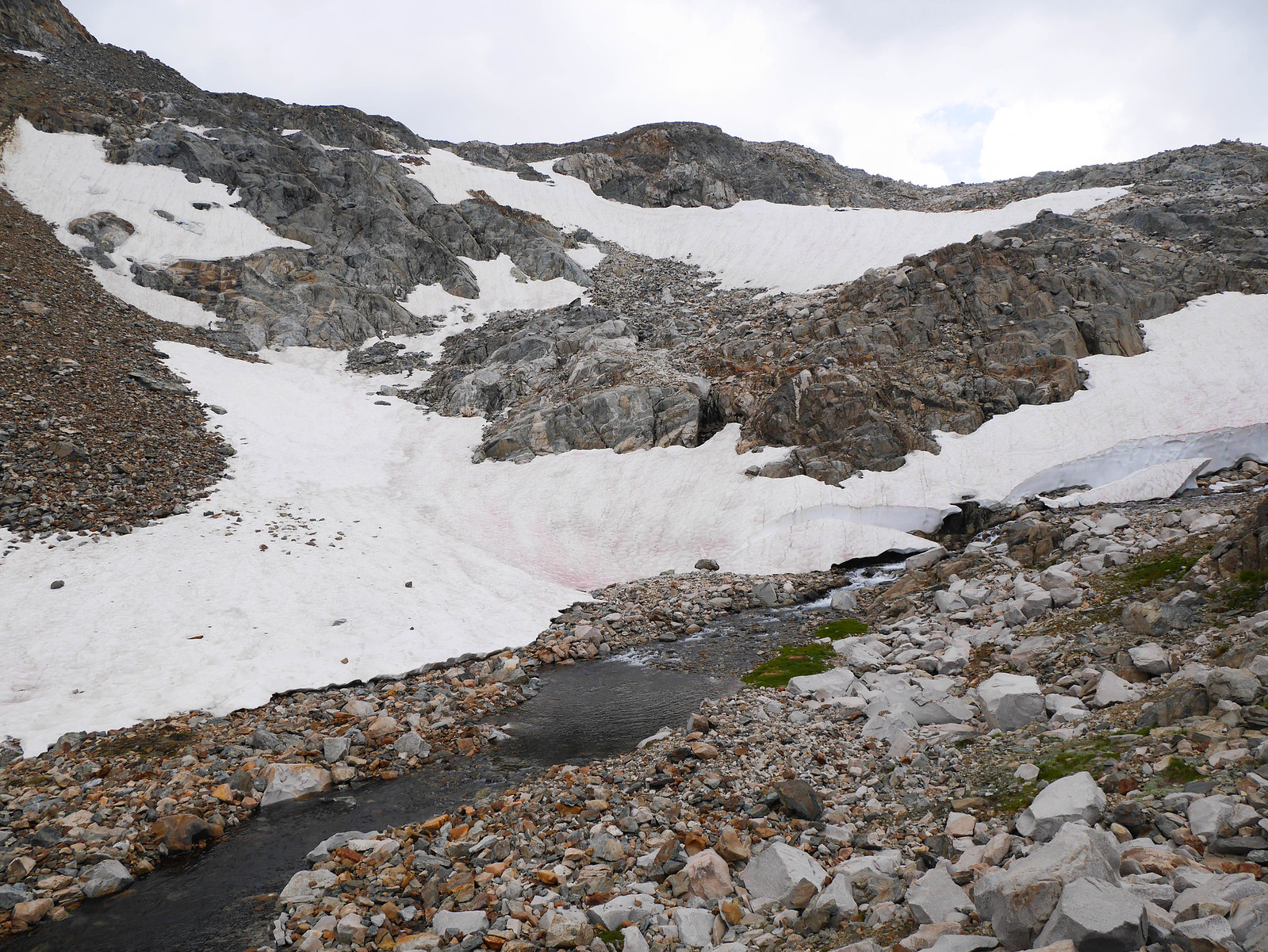
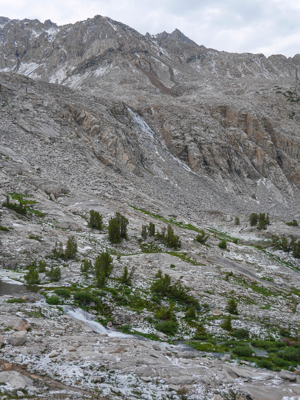
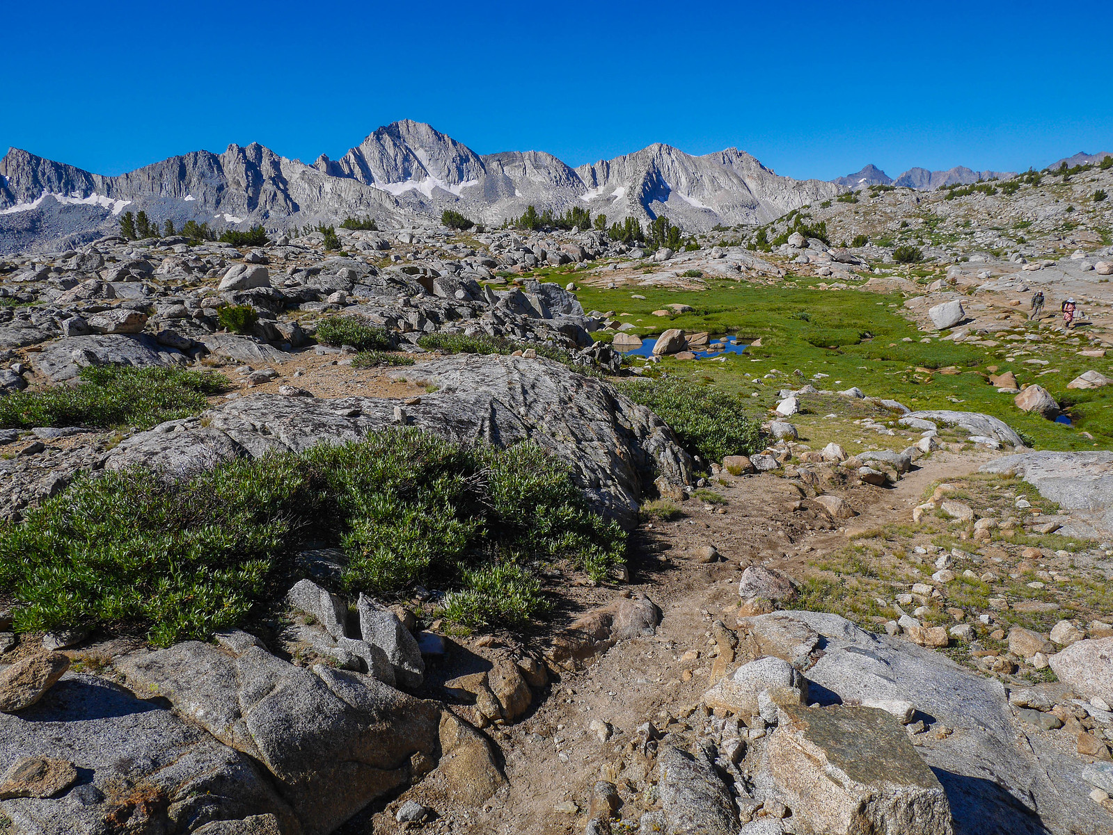
But boy those clouds, they weren't going away ((FORESHADOWING)), so we started picking our way down the canyon. The going was easy or hard, use trail or talus, and seemed to go on forever and ever.
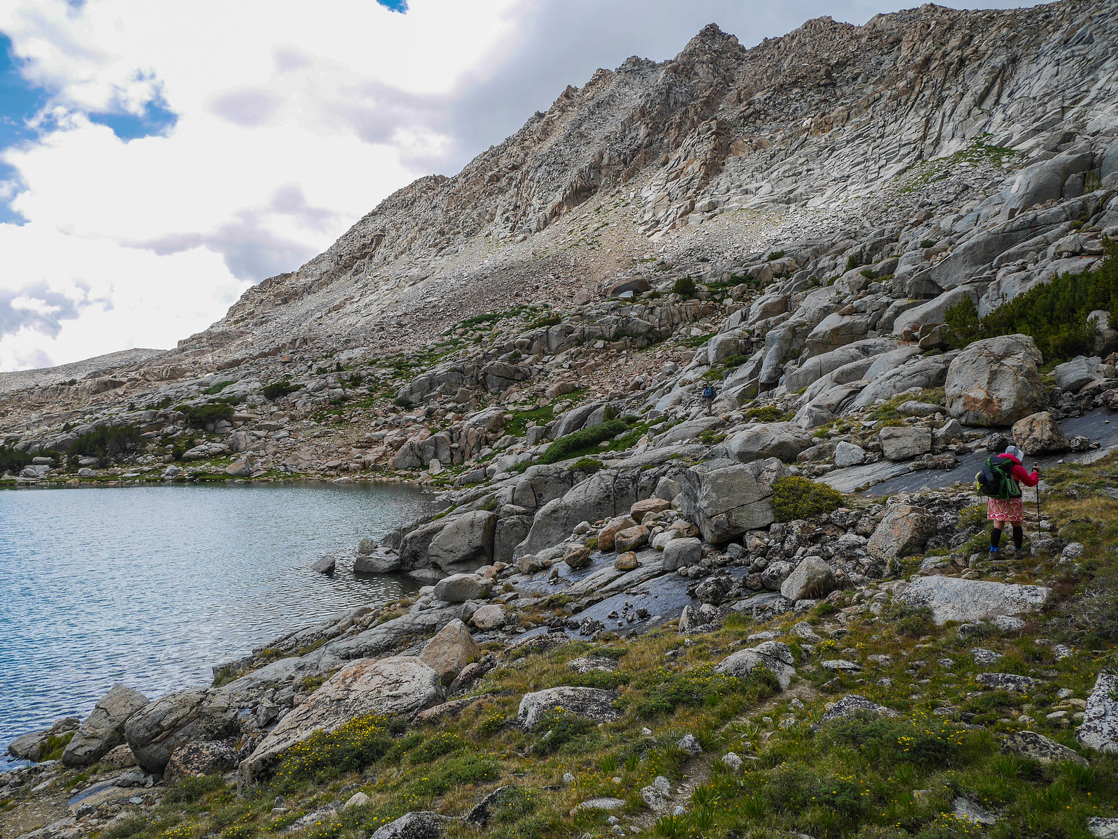
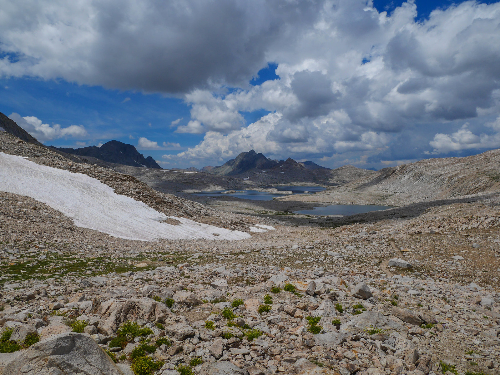
Really this part seemed to go on endlessly and took us a bit longer than expected. The clouds darkened ((FORESHADOWING)) as the afternoon wore on and we encountered swollen lakes, small cliffs, and talus.
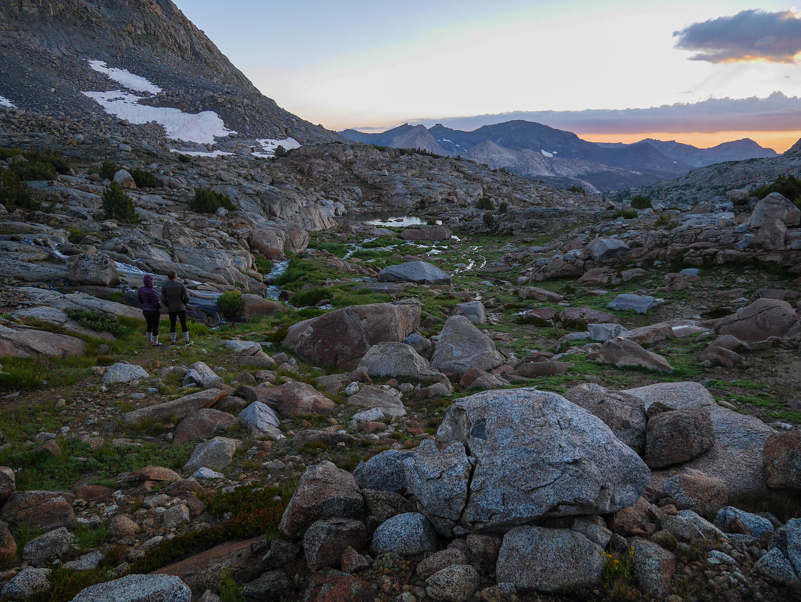
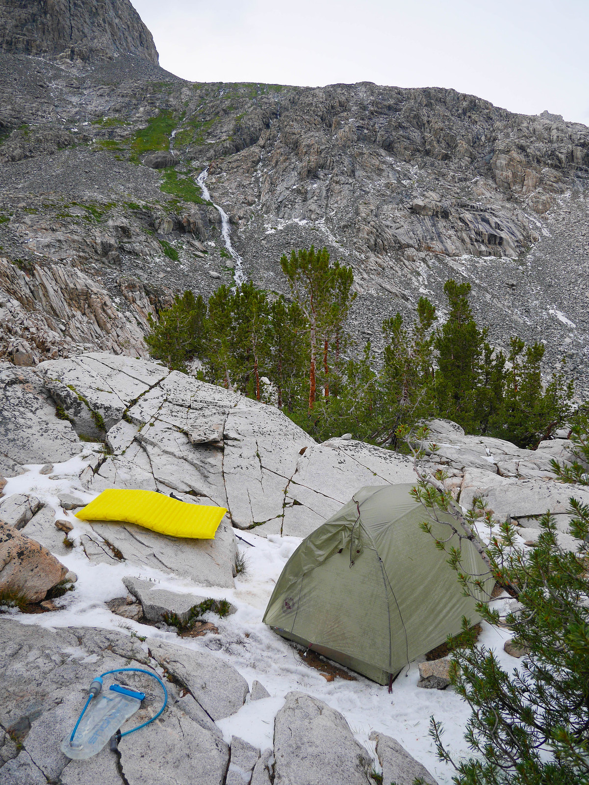
We hoped to make our way all the way down Darwin Canyon and onto Darwin Bench before camping. Spurred on by feeling a few raindrops fall, we picked up the pace as much as we could on the terrain. By about 3:30pm, we encountered a final difficult stretch of small cliffs just as we began hearing thunder. Jason had gone ahead a bit to try to spot a campsite and Jessica and I scurried down a little class 3 cliff, passing our packs from one to another, just as the sky started to open up. We raced down a bit of a use trail to find Jason standing on a flat spot that seemed perfect for two tents, ripped our packs open and pitched our tents as the storms began in earnest. We managed to dive inside dampened but not soaked. Phew.
Well. Wow. That storm. It was pretty intense, and lasted a long time. We thought it was pretty wild and were glad we'd gotten going early enough to avoid getting trapped out in the open fullness of it. ((FORESHADOWING)) The storm lasted longer than many typical summer Sierra storms. We rode it out reading and relaxing---well, relaxing as best one can in a tent above tree line when lightning and thunder are just seconds apart.
At one point I heard what I thought was the longest, weirdest-sounding thunder I'd ever heard. It sounded sharper, and it just kept going. It went on long enough that my two brain cells had time to talk to each other and decide that wow that wasn't thunder at all but rather was ROCKFALL. And then I got to panic about wondering if we'd set up our tents in a spot that was threatened by that. Peeking out of the tent, I saw (but didn't manage to grab the camera in time to capture) the rockfall dust cloud on the south side of the lake.
The storms finally subsided around 7pm and we crawled out of our silnylon cocoons to make dinner and watch the sunset.
Day 3
Darwin Canyon to Le Conte Canyon
1.5 miles on XC, 10.5 miles on trail, +1,325ft/-2,500ft
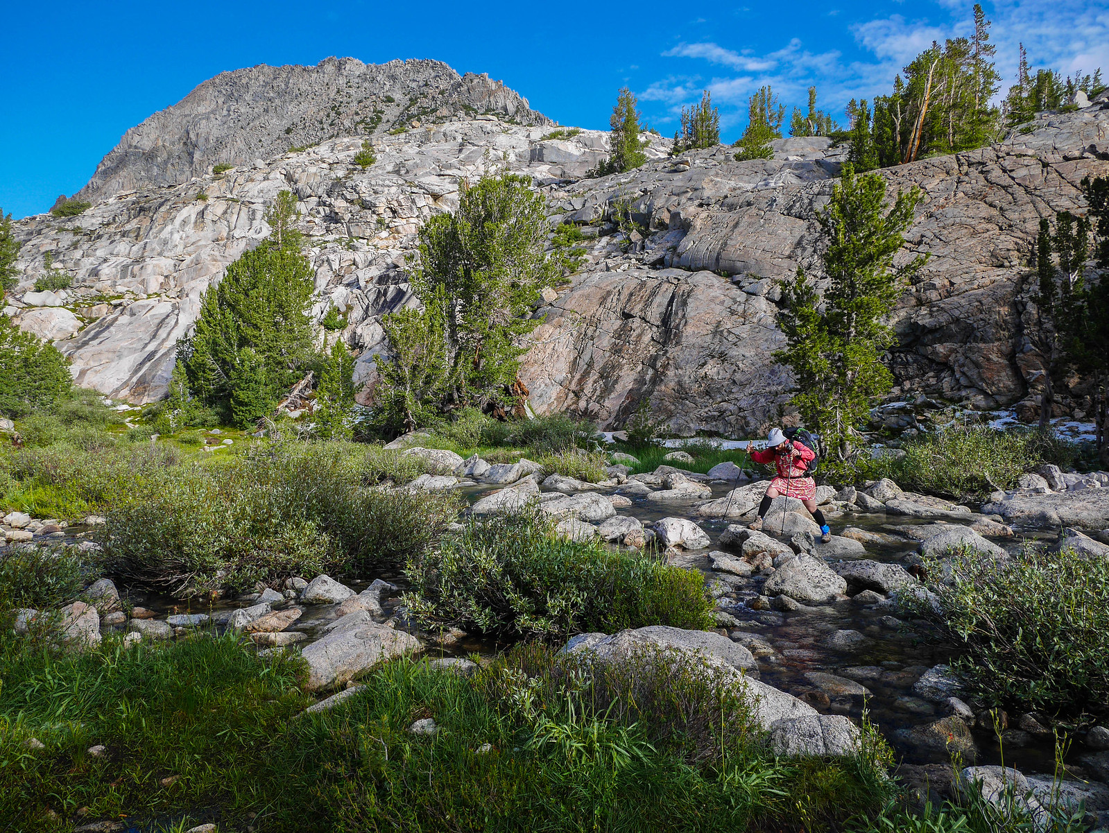
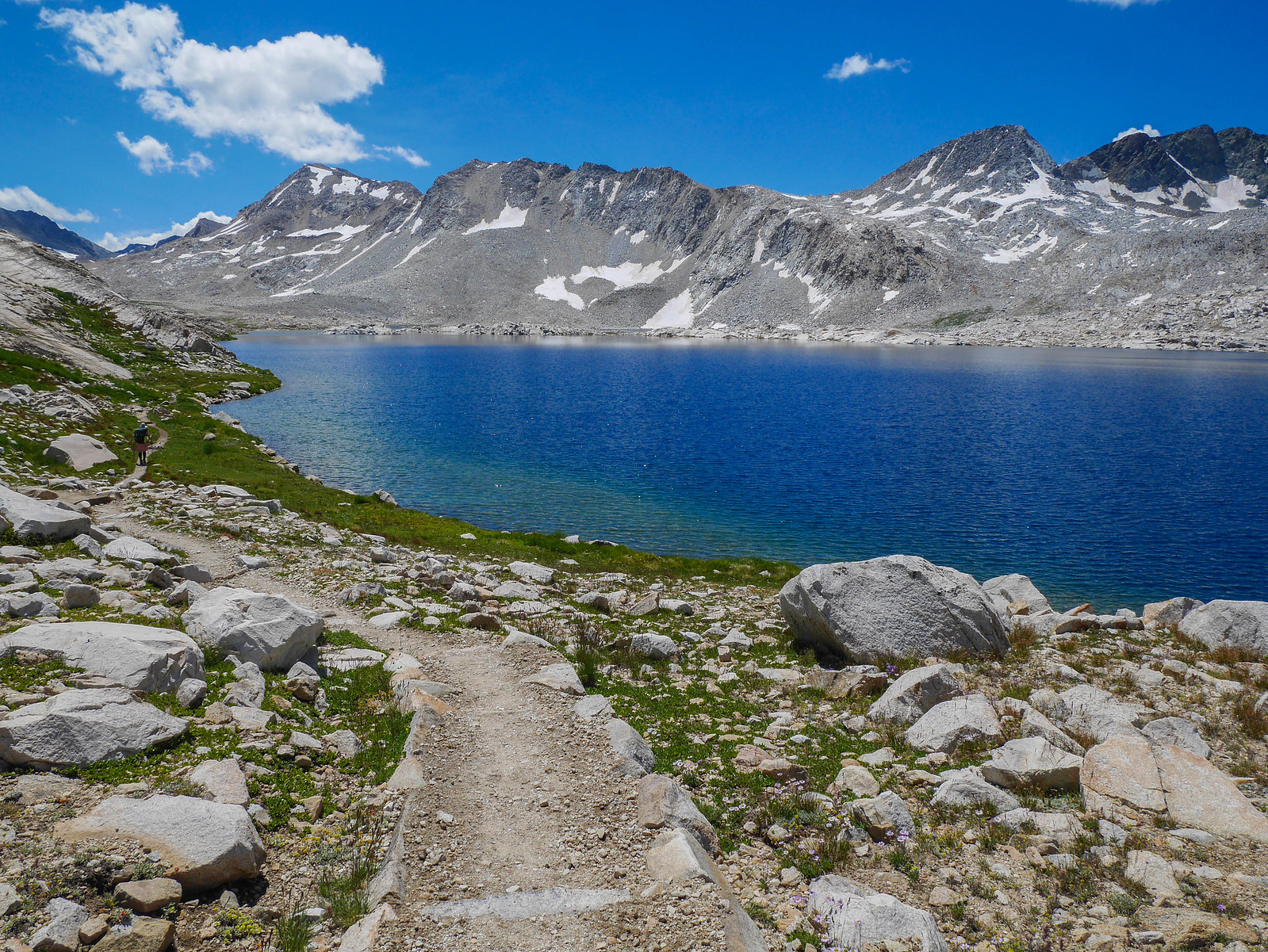
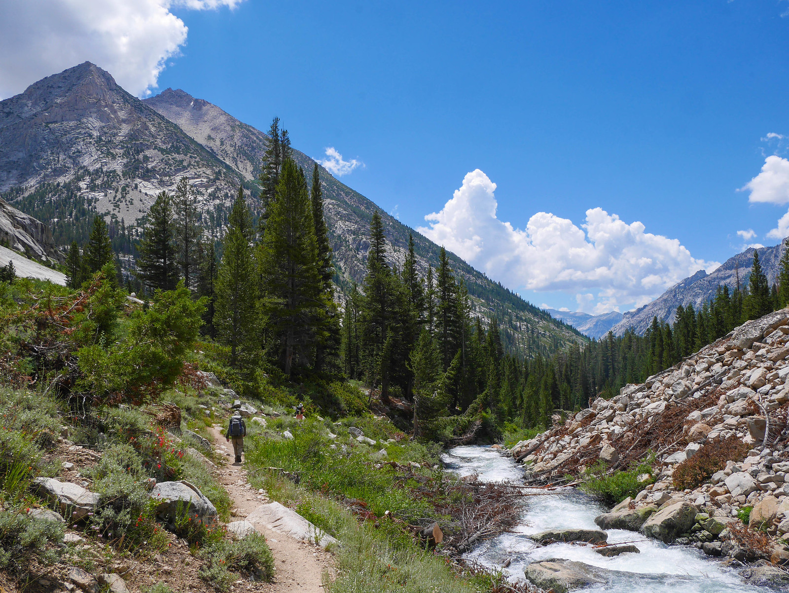
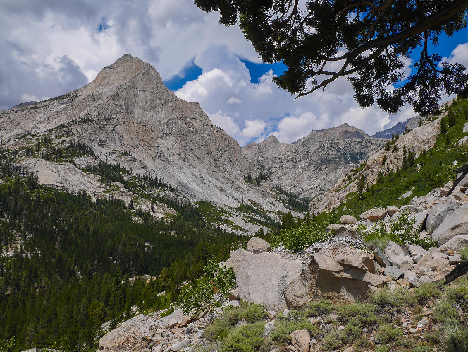
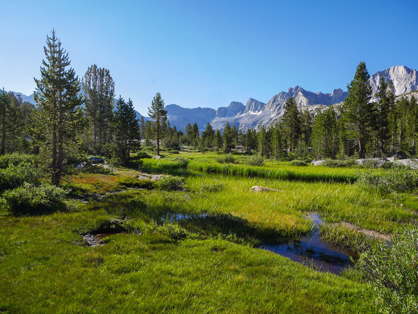
Our goal for today was to get down to the JMT and then cruise through Evolution Valley, over Muir Pass and then down Le Conte Canyon as far as we felt like. The sky was clear and it was cold in Darwin Canyon in the shadow of Mount Gould, so I made everybody hike down the canyon a bit so we could wait in the sun while Jason wandered off, dug a hole, and answered nature's call. I'm always amazed at how much warmer it is in the sun. Thanks, fusion.
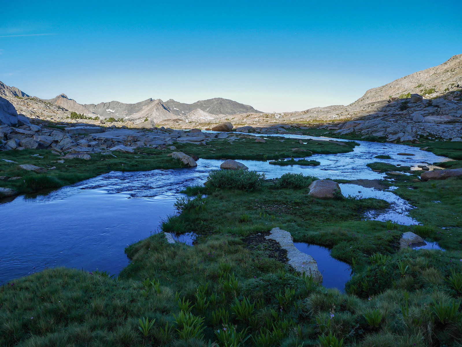
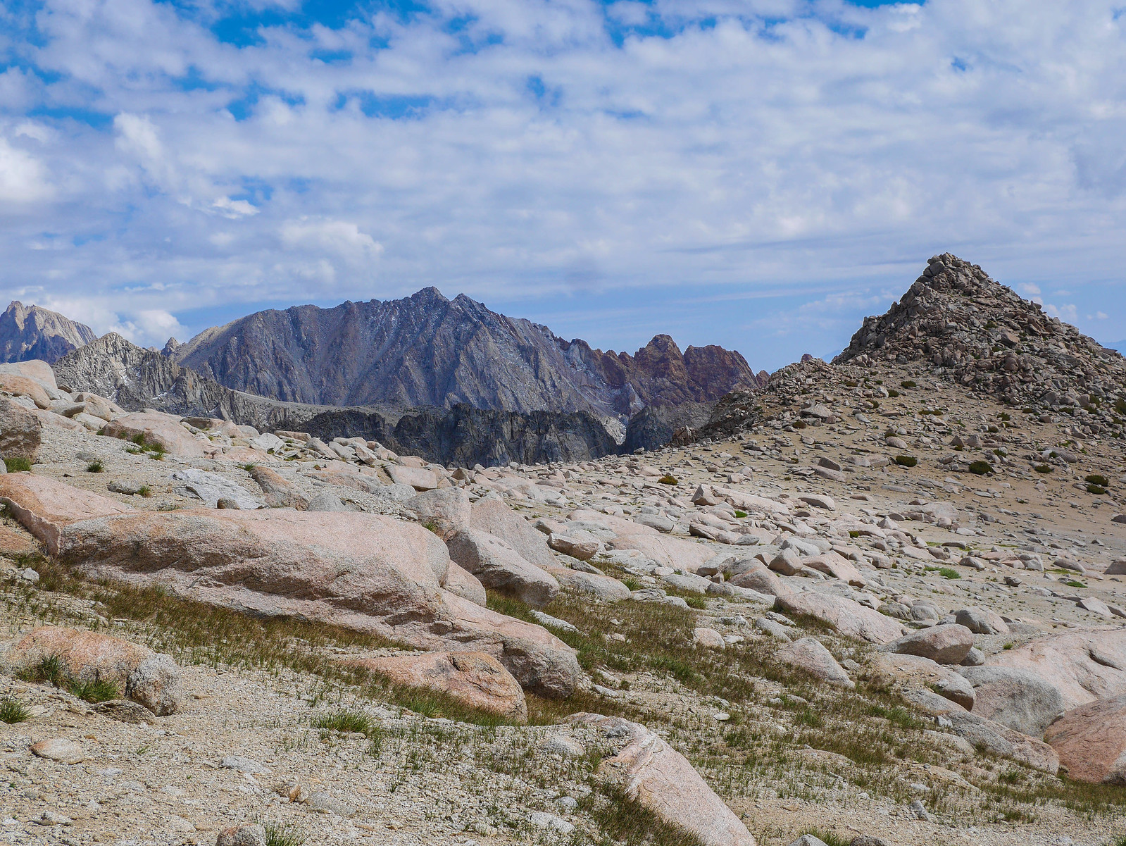
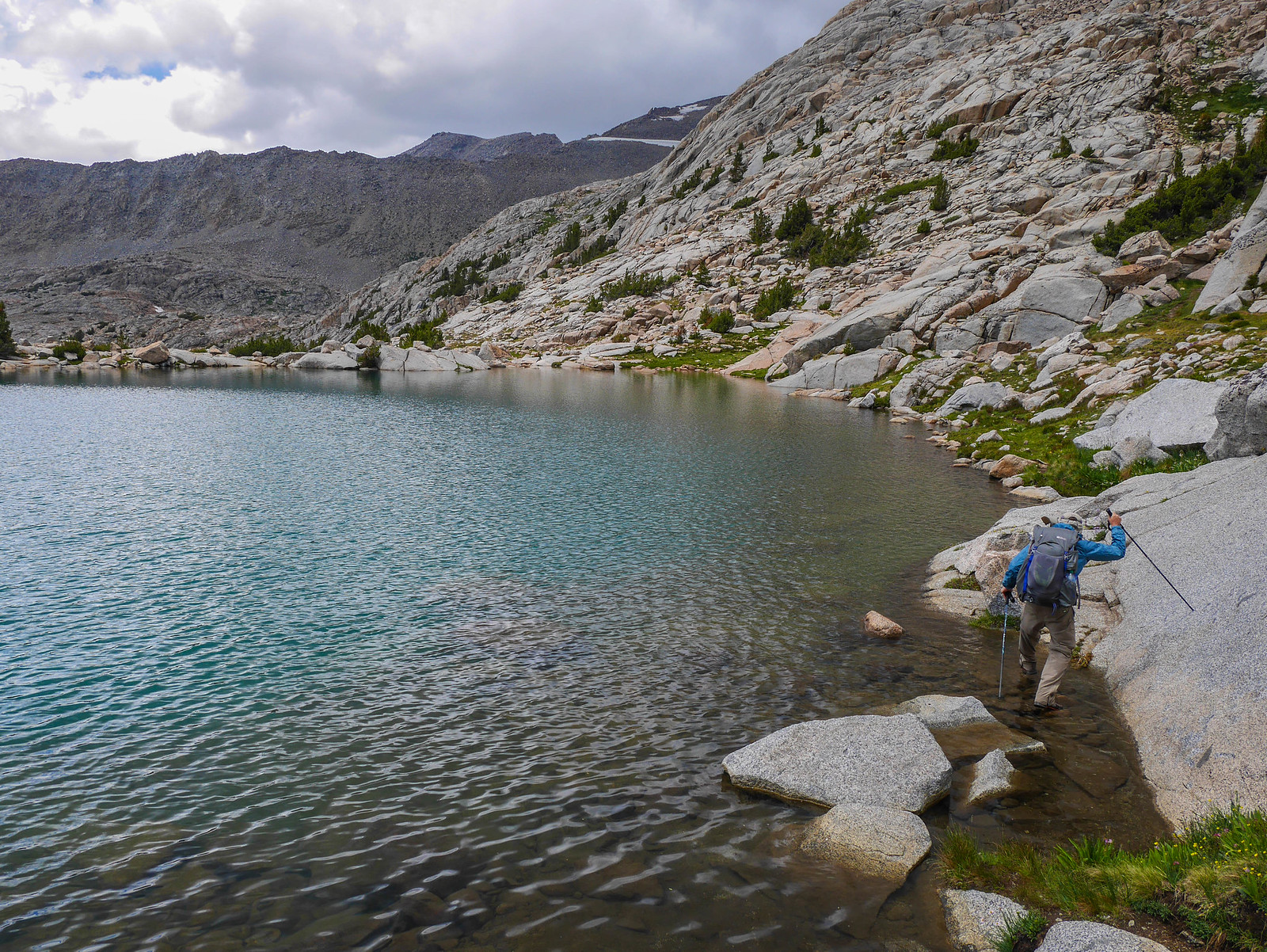
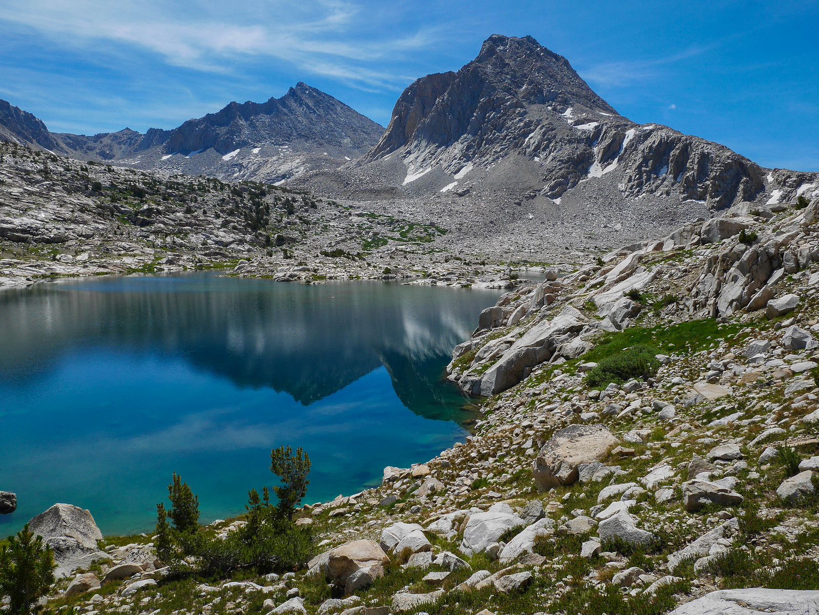
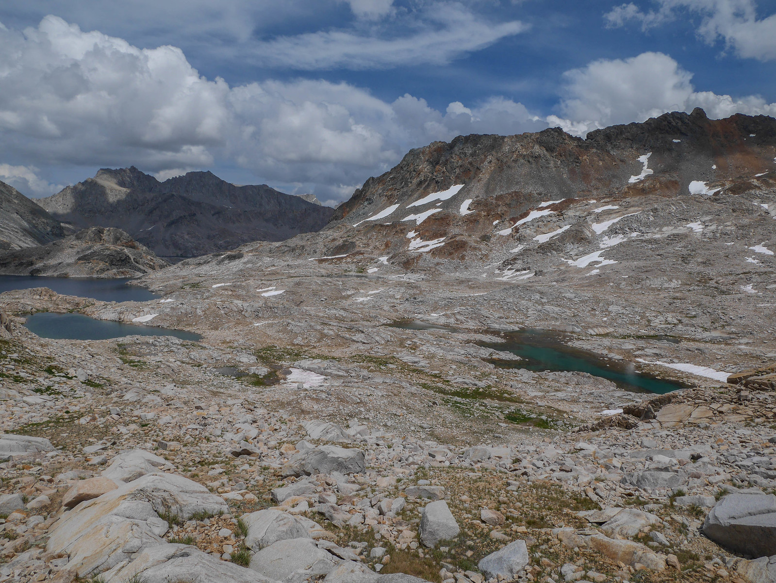
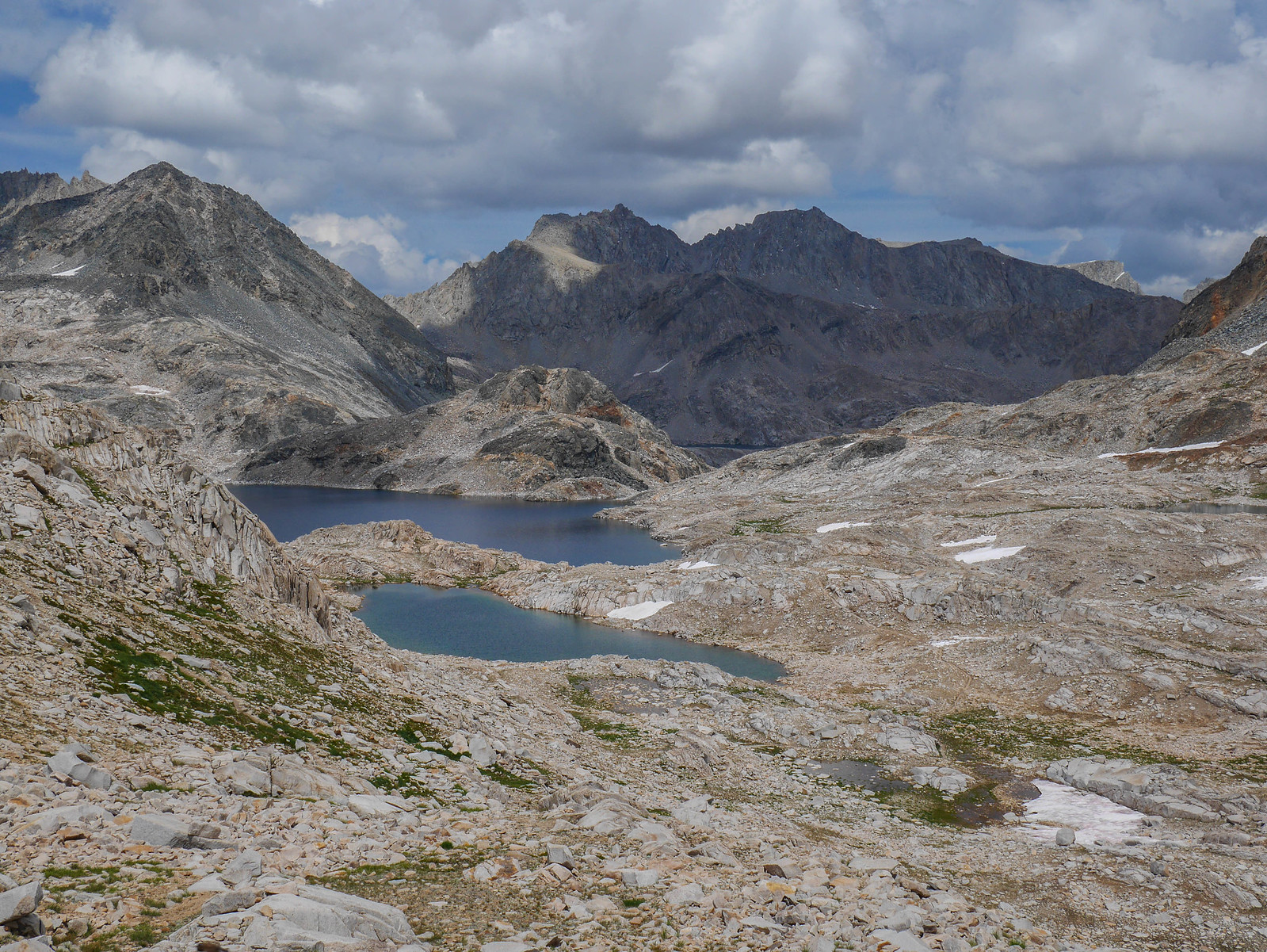
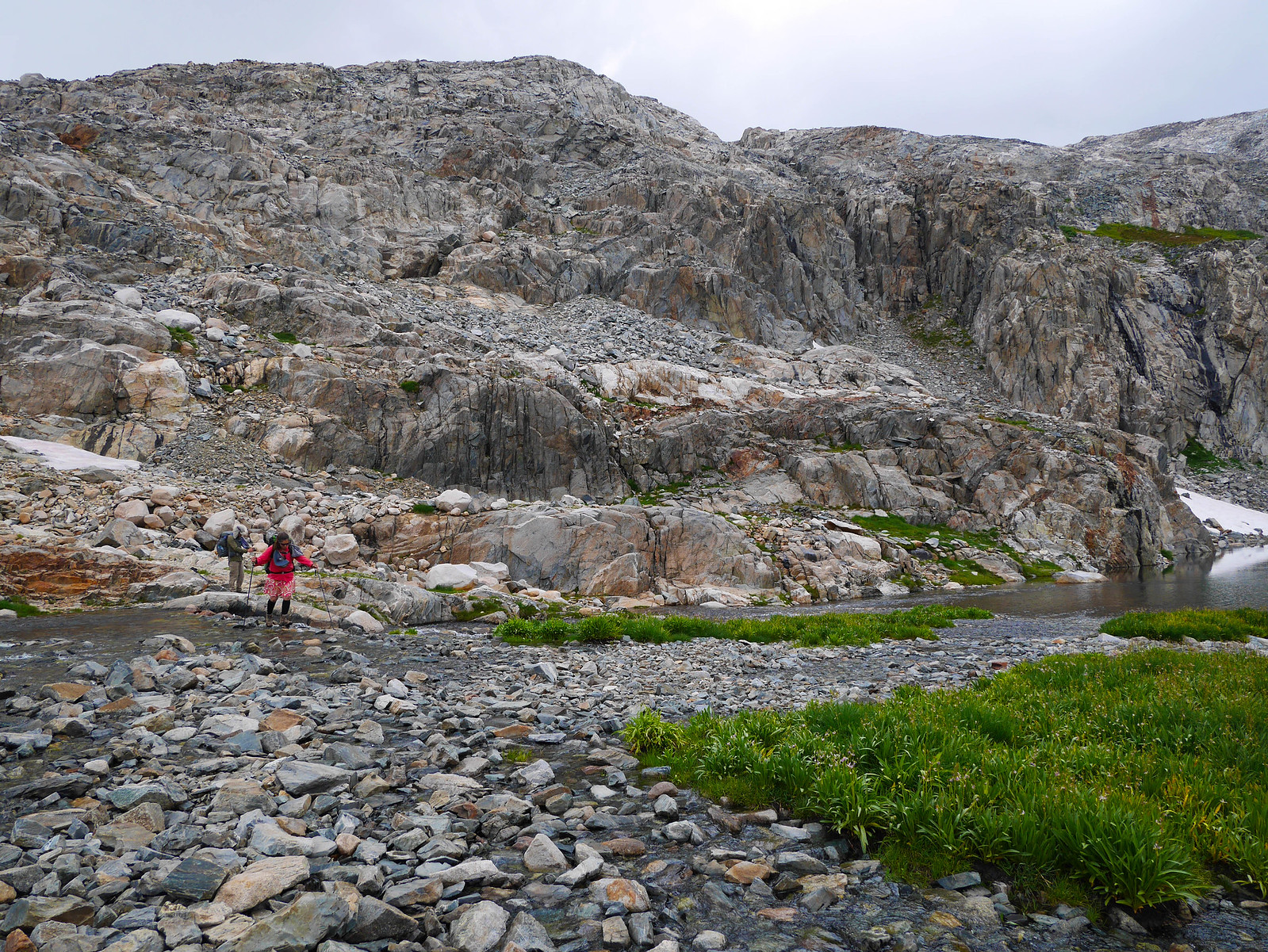
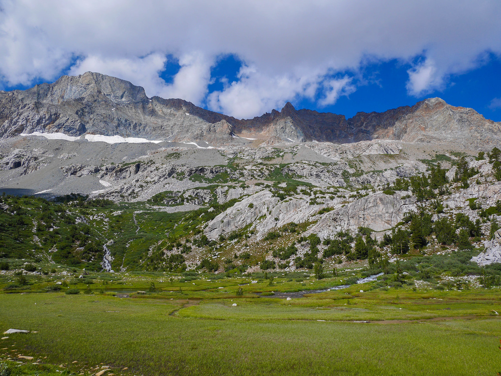
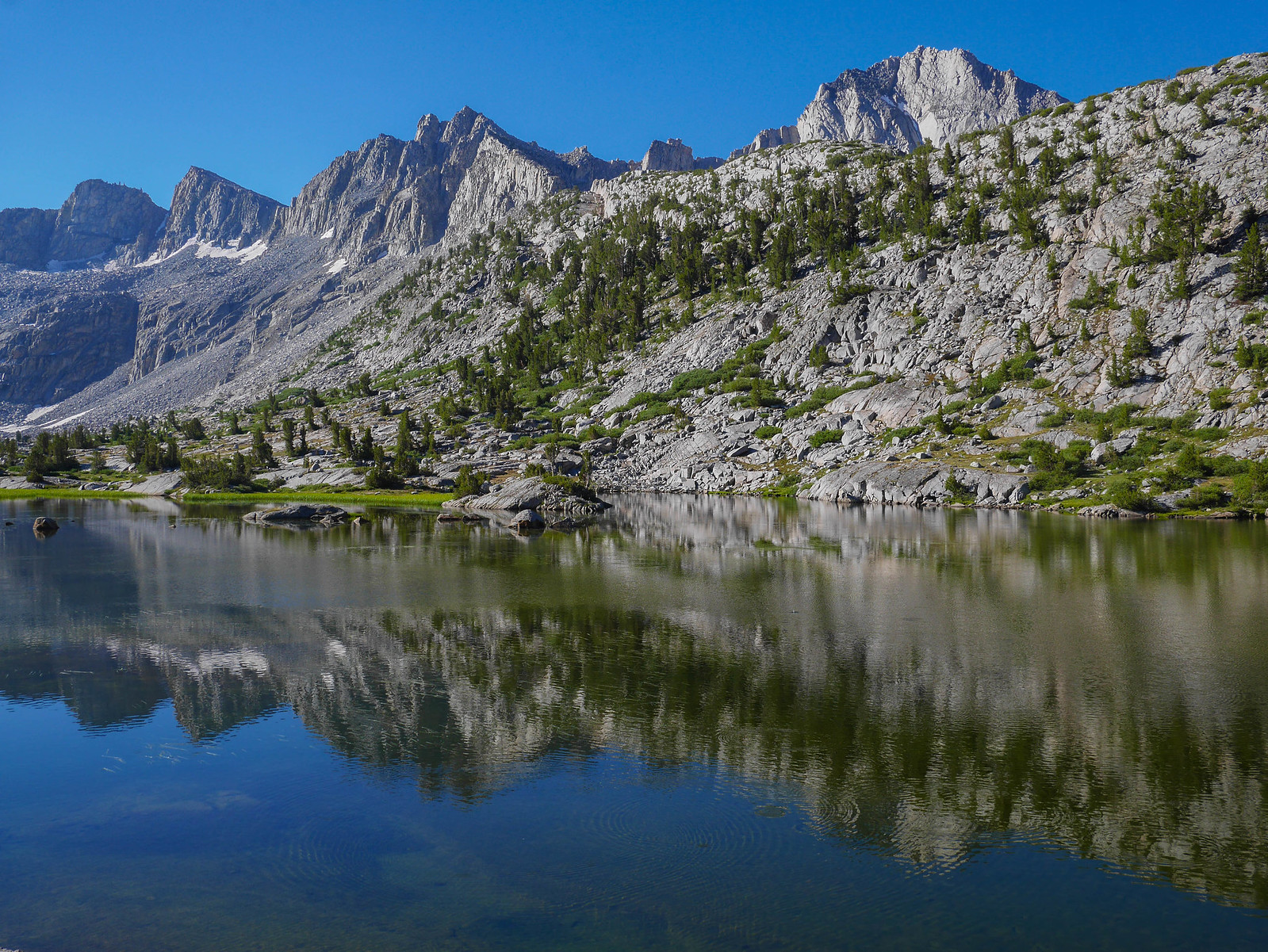
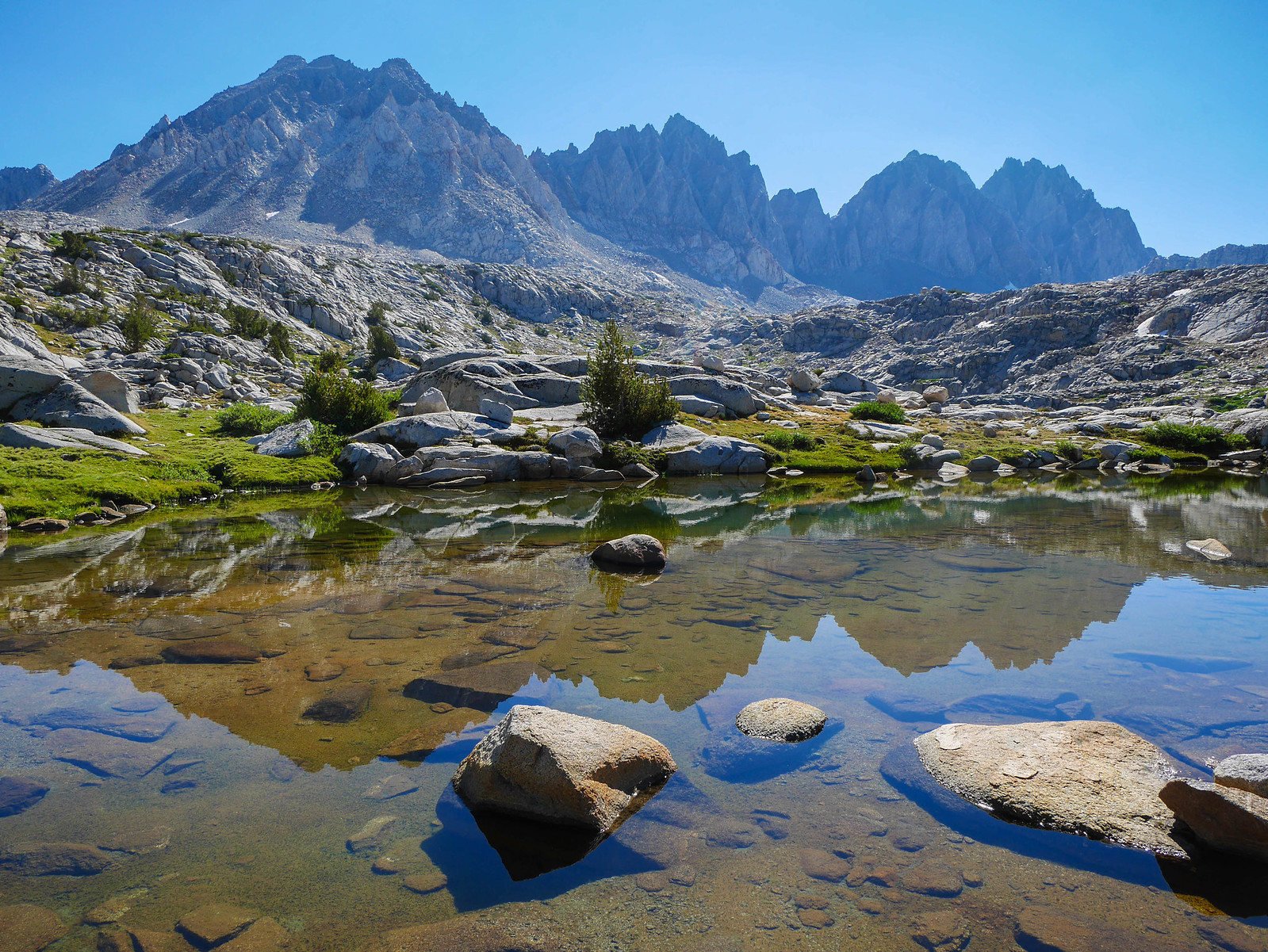
We picked our way down to Darwin Bench, following the creek and admiring the ever-expanding view across to the Hermit, McGee, Peter, and Emerald peaks.
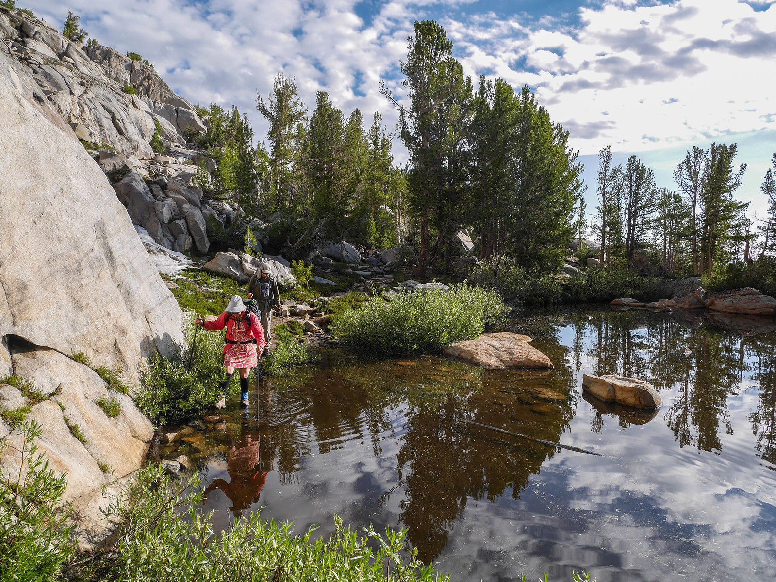
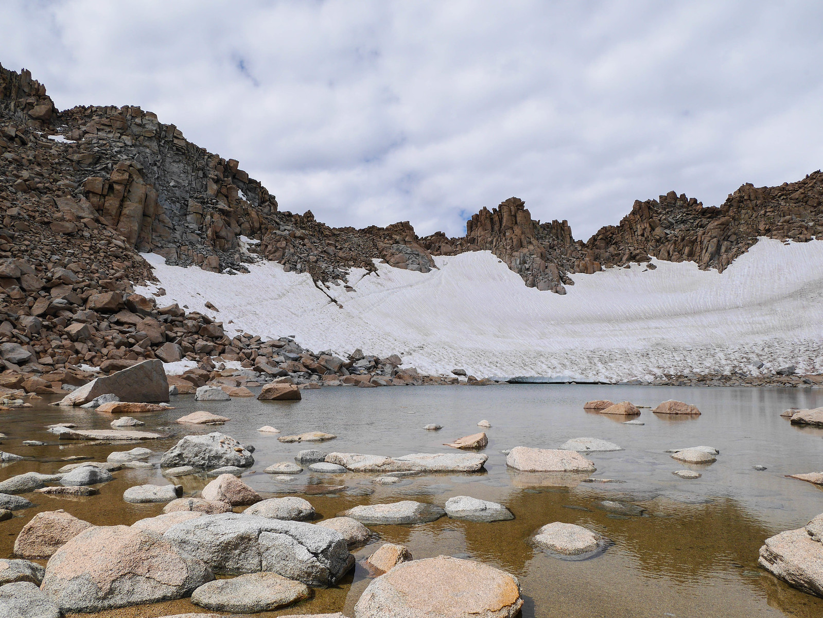
After crossing the streams draining from the lakes in Darwin Canyon, we picked up a very well-defined use trail and followed it past a small tarn.
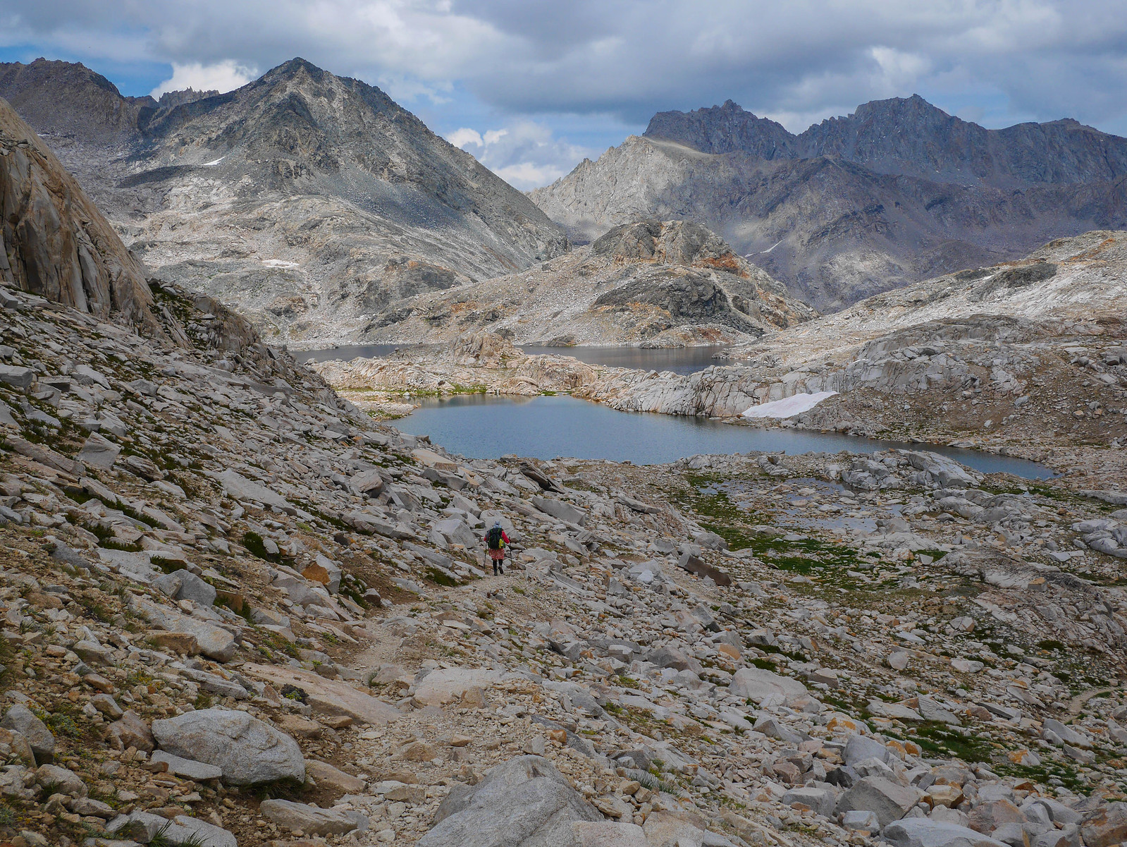
Then we lost the trail and ended up scuttling down some steeper rock, including one little Class 3 section. Oops. The views more than made up for it though.
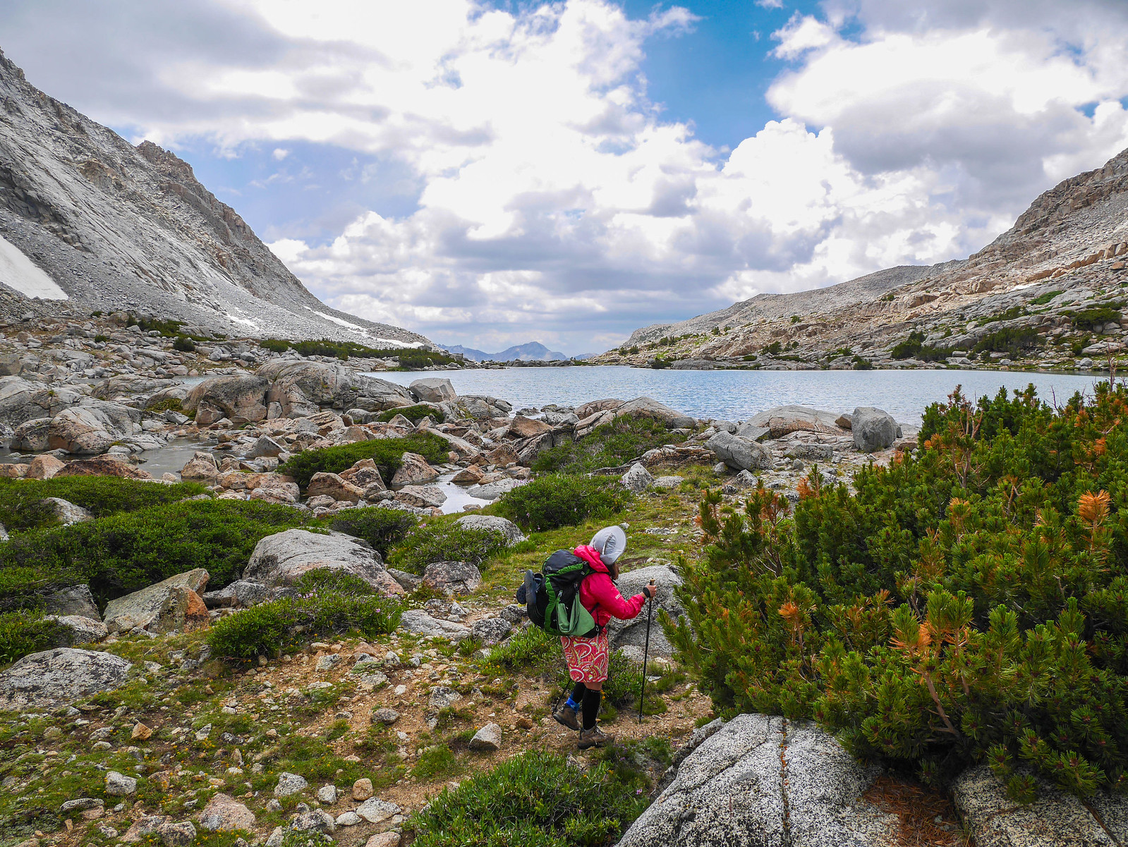
Back on the JMT/PCT/Sierra Highway, the going was easy peasy. Jessica had a bit of a blister issue, so she and Jason stopped to take care of that while I pushed on to Evolution Lake. I stopped at the lake and waited for them to catch up, then we continued up the trail, very gently climbing up incredible Evolution Valley.
 [/url]
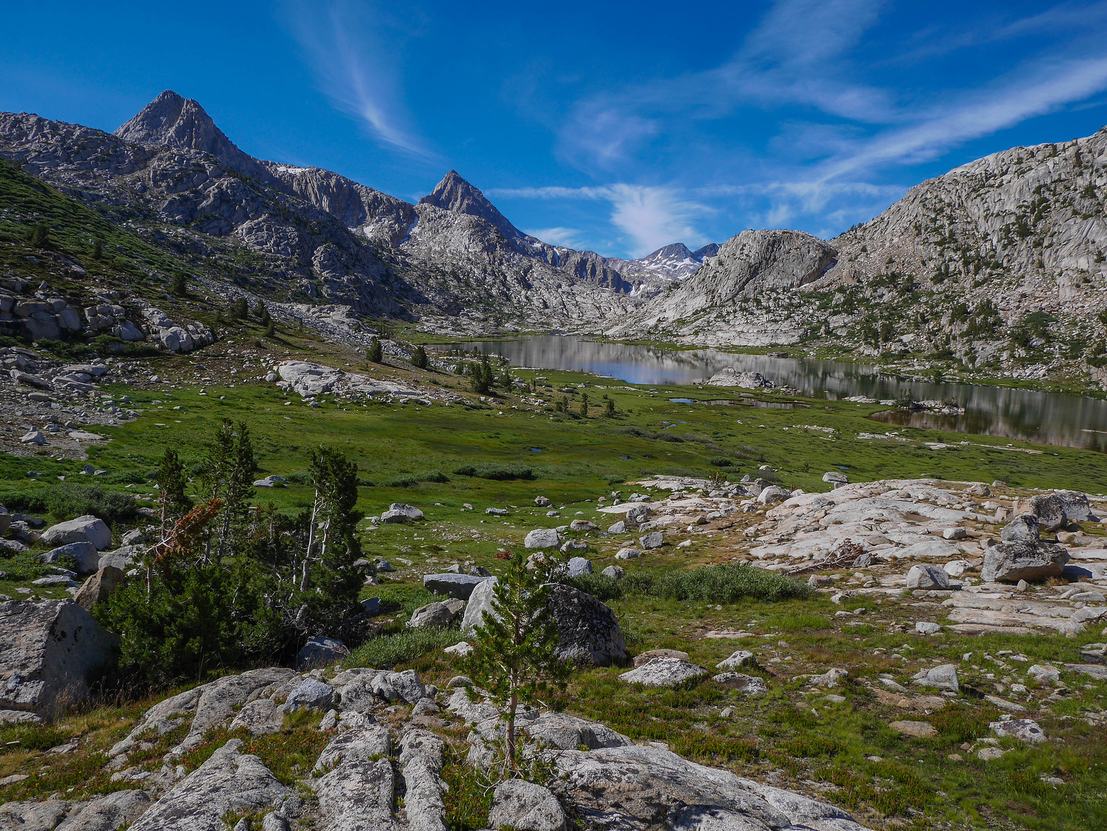
We stopped for a snack and water break at Sapphire Lake. Poking around her pack, Jessica realized she'd left part of her first aid kit back when she and Jason had stopped to take care of her feet, about 1.5 miles back. We debated a bit what to do. The contents of the bag she left weren't irreplaceable---just some ibuprofen, immodium, bendaryl, things like that. I had enough to share with them for the rest of the trip. But also Jason, a long-distance runner since his teens, had been training 20+ mile runs since taking a conscious uncoupling from his job some months earlier, so he had been essentially kicking our butts this whole time. We decided it might be fun (fun? lol) for him to drop his pack and jog in his hiking boots back down the trail to see if he could find the waylaid items while Jessica and I continued slowly up Muir Pass. We agreed to wait for him and meet up at the Muir Hut. Bye Jason! Enjoy the added exercise, you beast.
The climb through Evolution Valley is super gentle, and incredibly gorgeous. Also there's a lake called Wanda. Jokes, I got 'em. Yep. Definitely the first person to make that one. For sure.
As Jessica and I mosey'd on up towards Muir Pass, some clouds started to build ((FORESHADOWING)). The views were incredible, though, and hey clouds make for more interesting photos!
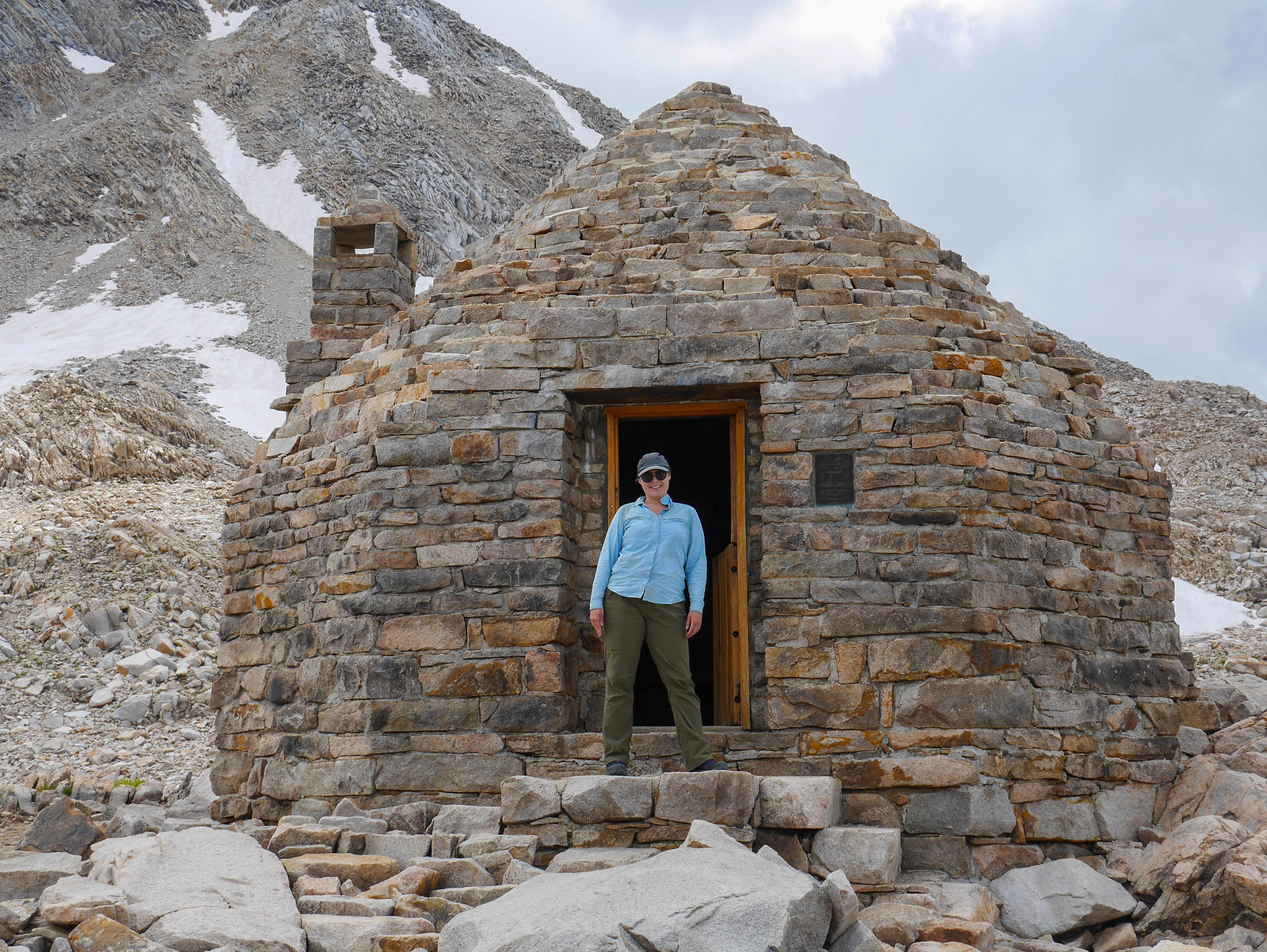
We reached the Muir Hut and dropped our packs. We had a snack and chatted with the hikers going this way and that, mainly some PCT stragglers who were so grateful when I offered them some of my potato chips.
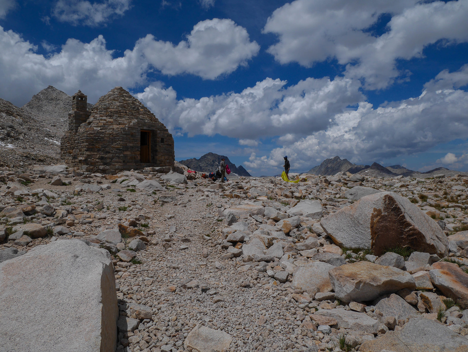
The clouds kept building but Jason wasn't back yet. We waited for about an hour, puttering around and taking photos. We even waited around long enough that I was able to get a photo by myself in front of the hut. A rare prize for this zoo of a location.
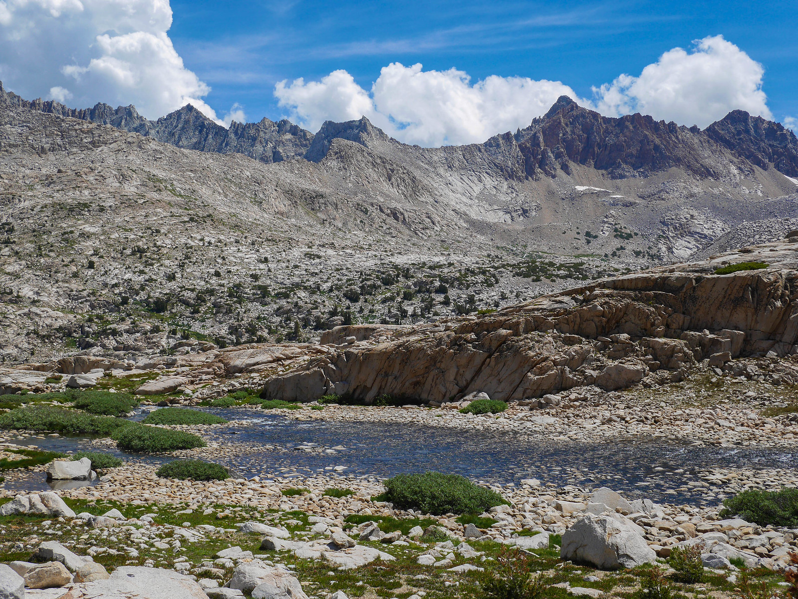
He showed up, sadly empty-handed. We gave him fifteen minutes to take a break and eat lunch before we set off. I was getting a bit antsy given the cloud accumulation ((FORESHADOWING)) and how far we were from any sort of shelter. Muir Pass is at 11,955 feet, and it's several miles and a few thousand feet south before we'd be able to find any spot to feel remotely safe in a storm. The hike south from the pass is steeper than the climb, but no less stunning.
We hustled, not wasting too much time, since the clouds were looking more and more threatening. ((FORESHADOWING)) There were a couple of creek crossings, including the outlet of Helen Lake (no photo, sorry, was trying to hurry!!!) which was a little sketchier than we'd like, but we managed. We felt a few rain drops so we stopped to put on our rain gear before continuing down the trail as it hugged the Middle Fork of the Kings River.
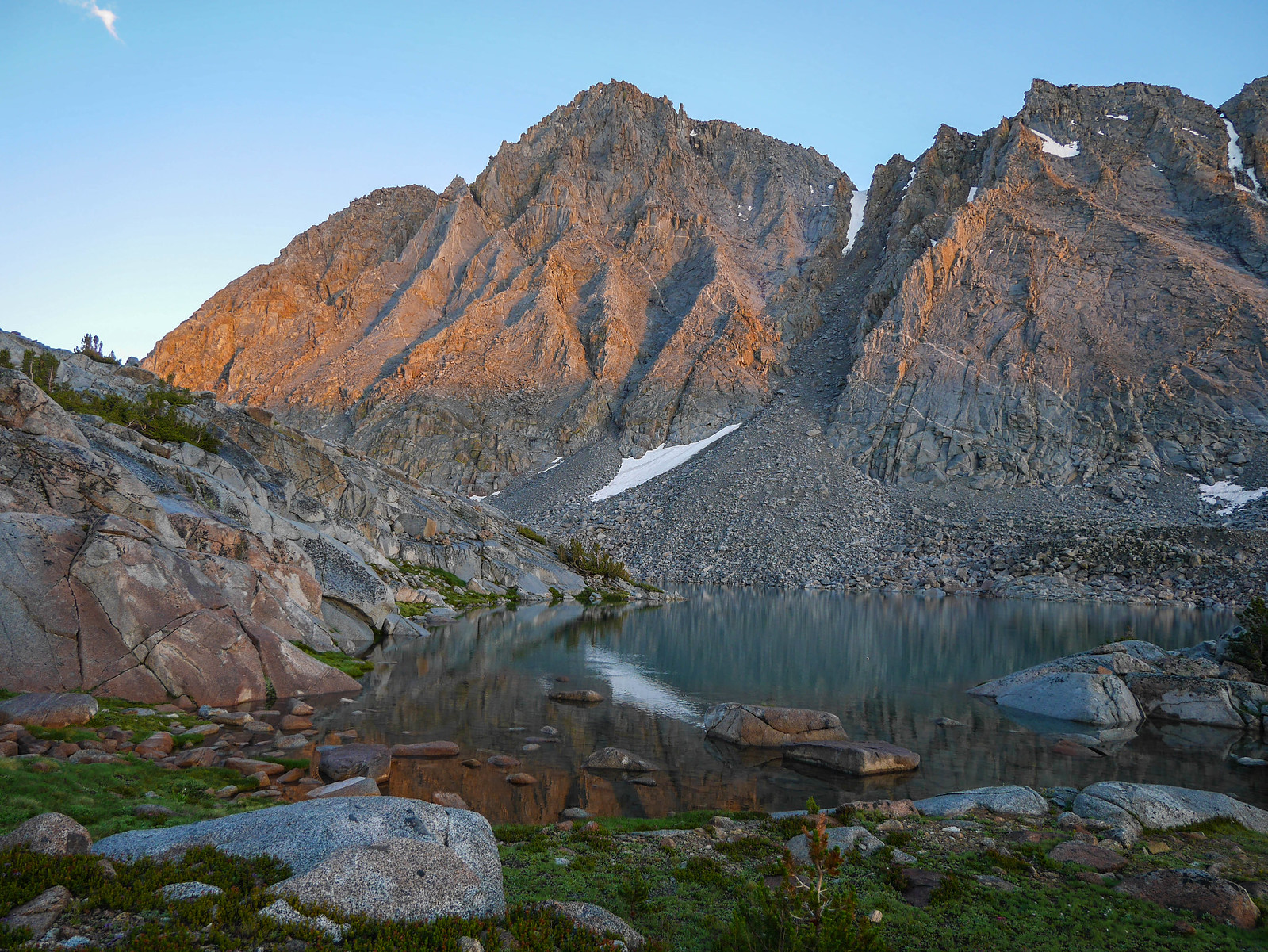
We started to hear thunder just as we descended to a little bench just under 11,000 feet where there were a few altitude-dwarfed trees and two flat spots where we could pitch our tents. We hustled to get our shelters set up and dove inside just as the sky opened up. This storm that we'd ride out the next few hours is one of the most powerful and terrifying I've ever witnessed. Worse than that time I camped amidst donkey doo alone by Isberg Lake. The sky cracked and boomed with thunder that echoed down the canyon. Lightning striking the peaks not far from our sad little shelters. And the hail---the HAIL. My god. I got myself all up on my sleeping pad, afraid to touch the ground below. I piled on layers as it got colder and colder. I wondered how Jason and Jessica were faring. I used my phone to make stupid, useless videos of the hail pelting my tent. I waited. And waited.
And finally it started to lighten up enough that I could call to Jason---"Y'all ok up there?" (They were only 20 feet away but the storm plus the hail pelting the tent was too loud for us to communicate for the first hour or so of the storm.) They said they were, though they were suffering from a bit of a puddle, having pitched on a spot that didn't have much drainage. They were bailing out their tent with a PackTowl, sopping up water then wringing it out outside the tent. I thought I had it easy until I noticed the state of my vestibule and tent door.
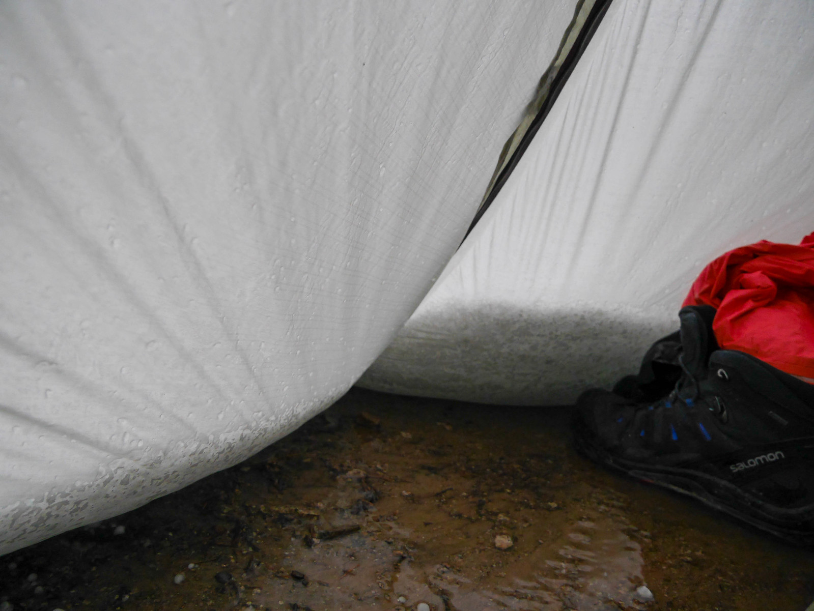
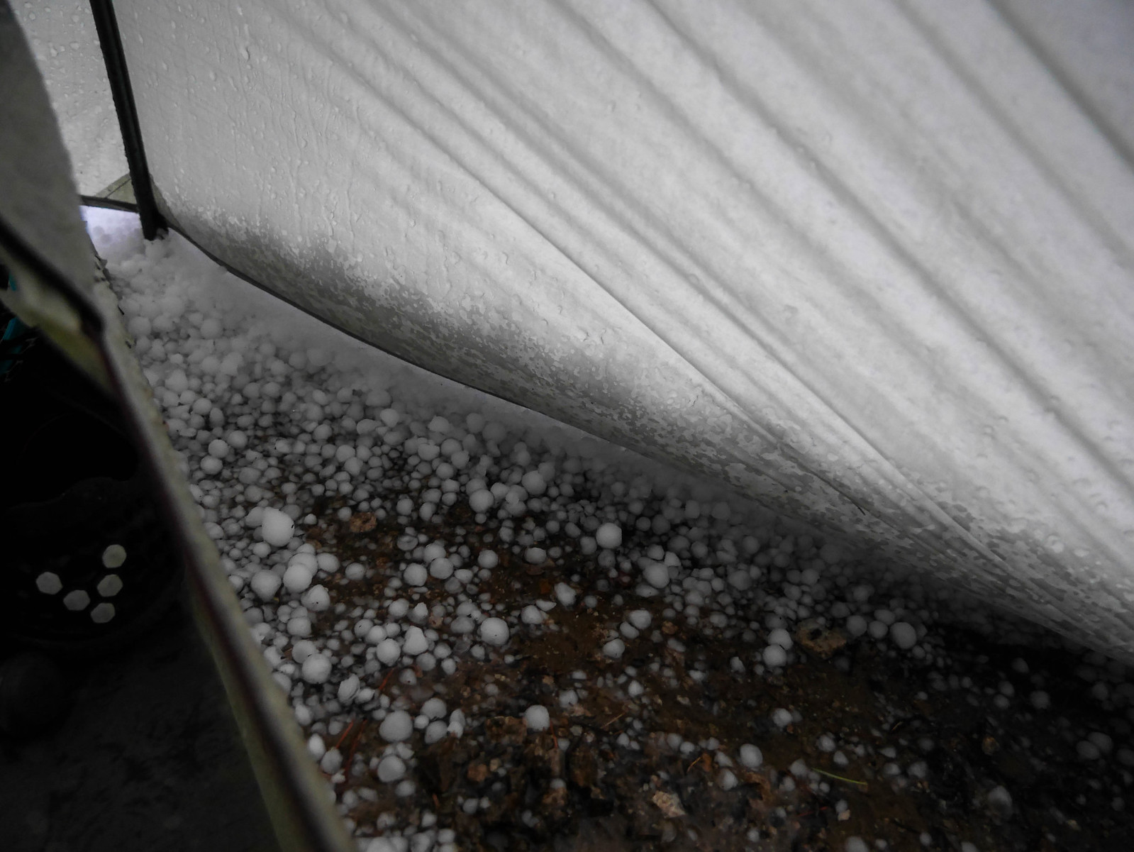
Holy ****. That's some hail. Is my tent gonna collapse? Oh god. Aaaaaaaaa. I set about using my boots to kick back the 6" high hail wall so it wouldn't put more stress on my tent. I got to enjoy this activity for another half hour! Then finally the hail stopped and we emerged from our soaked and stressed cocoons to survey the storm damage and make dinner.
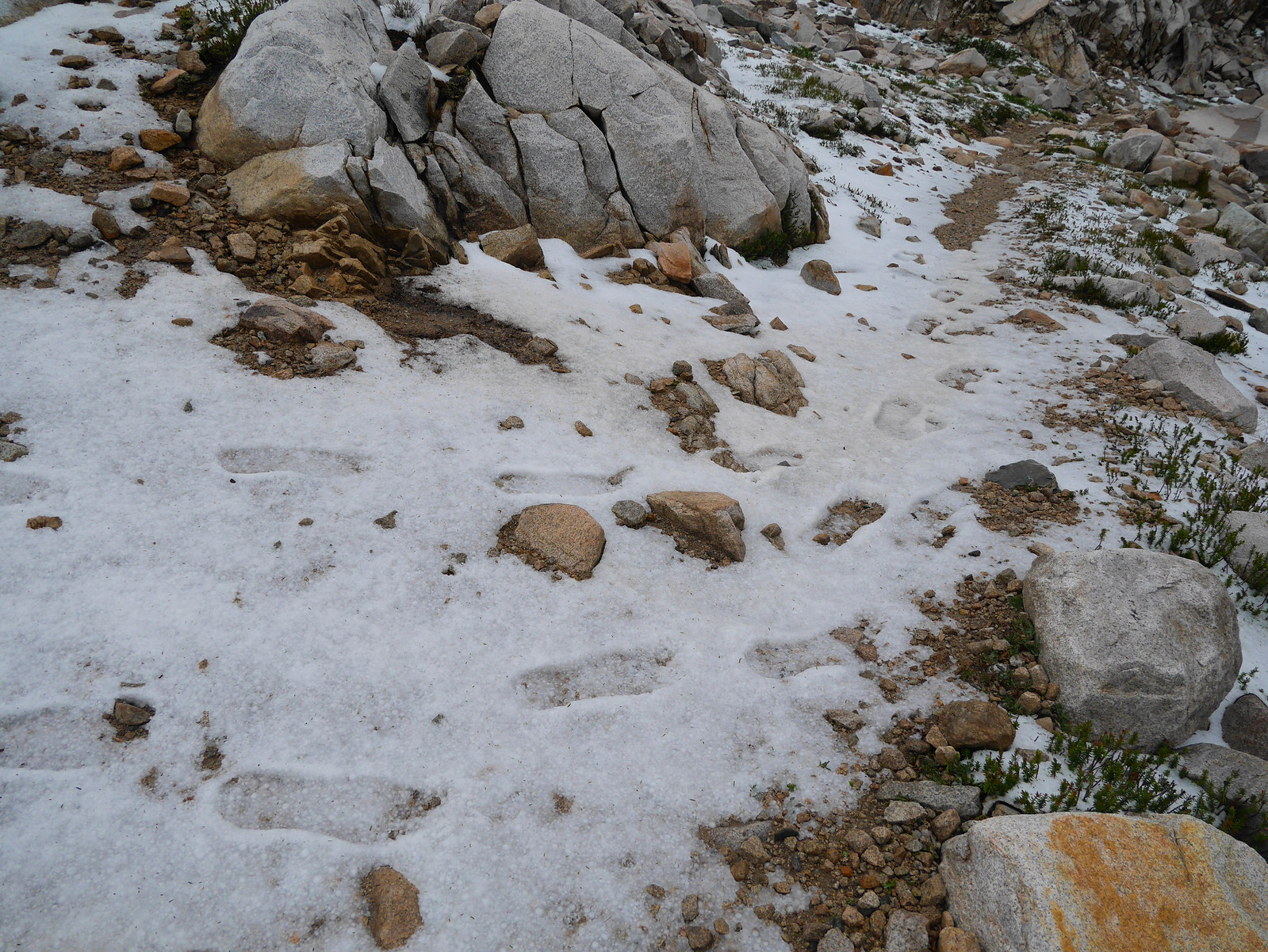
After dinner I went off exploring a bit around the area, snapping photos and looking for anything interesting. The waterfalls were pumping much harder than earlier, and I spotted the boot tracks of some poor souls who descended the trail during the storm! Good lord, people. Please be careful.
We were treated to a lovely sunset before tucking in around 8pm.
Day 4
Le Conte Canyon to partway up Bishop Pass
6.5 miles on trail, +1,400ft/-1,900ft
A new day! Clear skies, I wonder if we'll get rained on? Hrmm.... ((FORESHADOWING??)) We got a later than usual start since we took some extra time at camp drying out gear from the terror storm of the day before. It was 8:30am before we hit the trail. The hail had mostly melted and the waterfalls were pumping. It was a glorious, gorgeous morning of hiking.
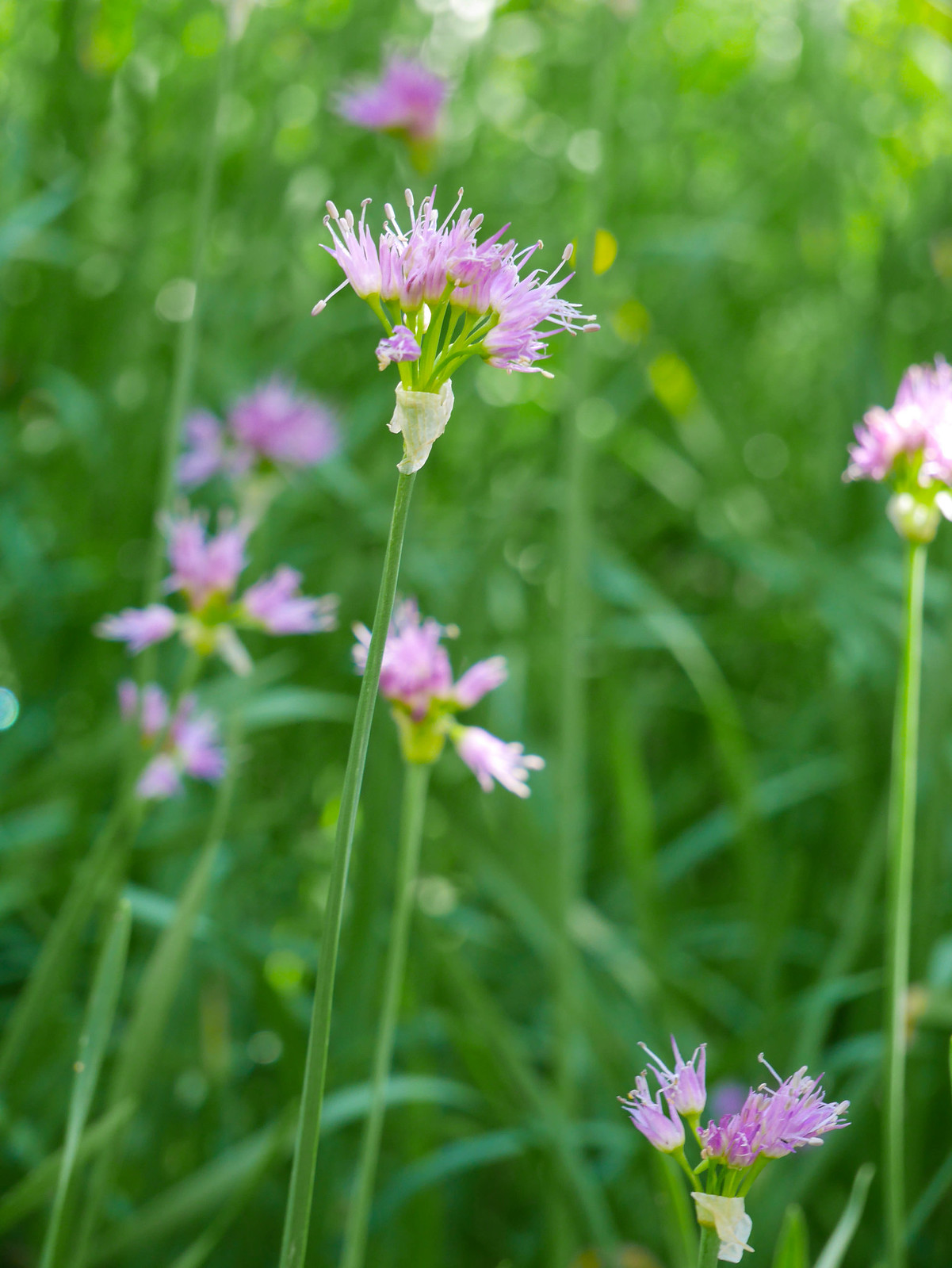
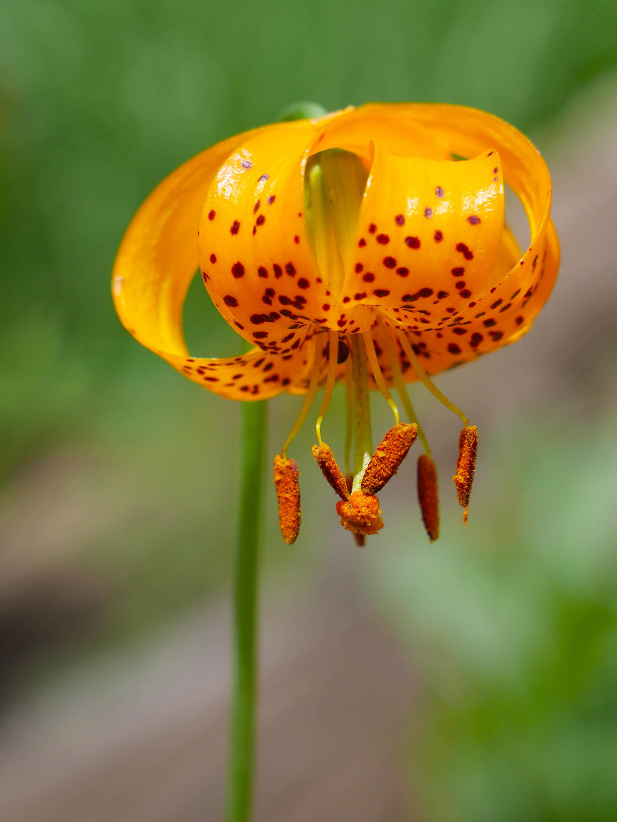
After crossing the Middle Fork of the Kings River just below our campsite, we followed the trail down Le Conte canyon, admiring the flowers, cascades, and granite all around.
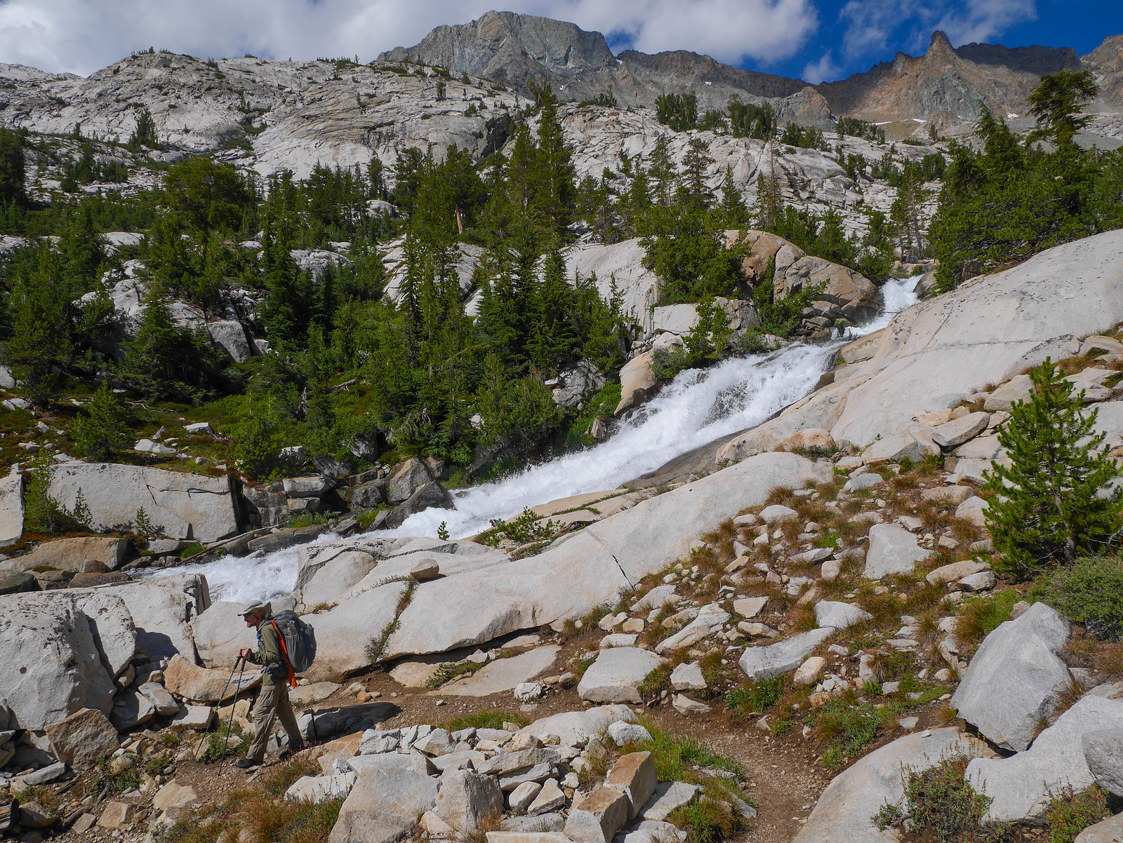
The trail descends at a good rate, not too too steep but steep enough to make most of the people we passed who were ascending look like they were suffering a bit. When we got down around 9,500 feet we passed a huge group of hikers from Asia. I worried about them since it looked like many of them were having a hard time putting foot in front of foot, taking just baby steps. And look, 10am clouds. ((FORESHADOWING?)) And they're headed up to Muir Pass.
We passed the JMT monster, who I'd never seen in person before! Somewhere around here we took a short snack break.
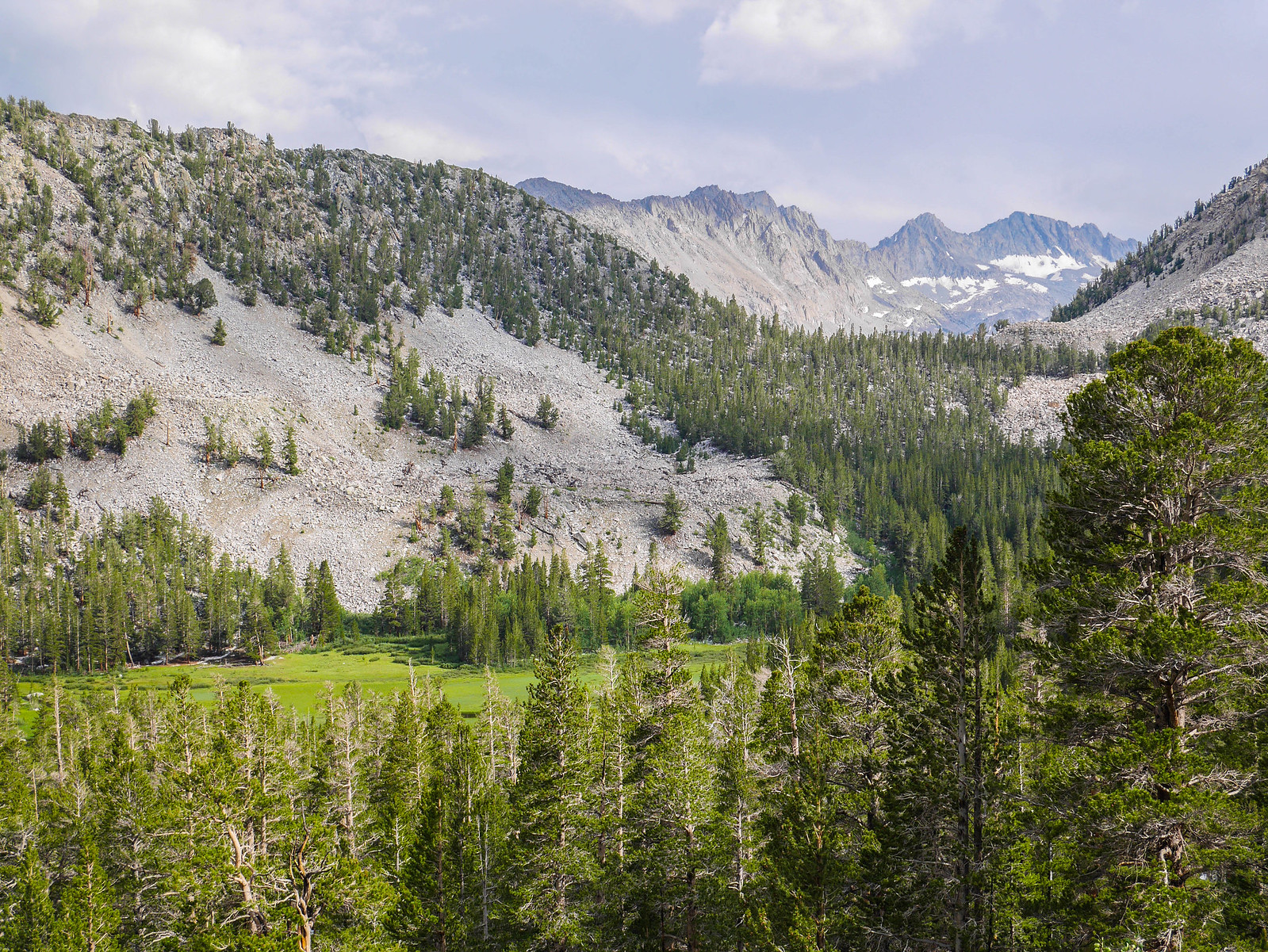
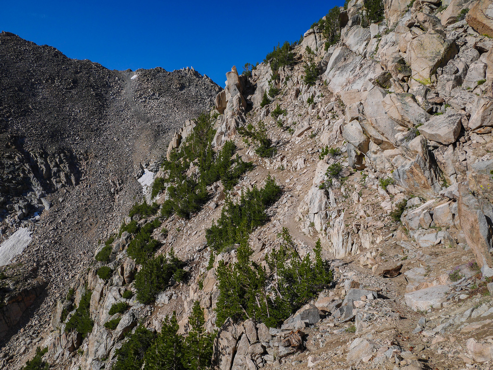
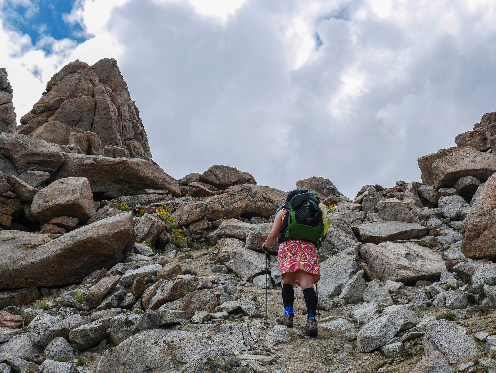
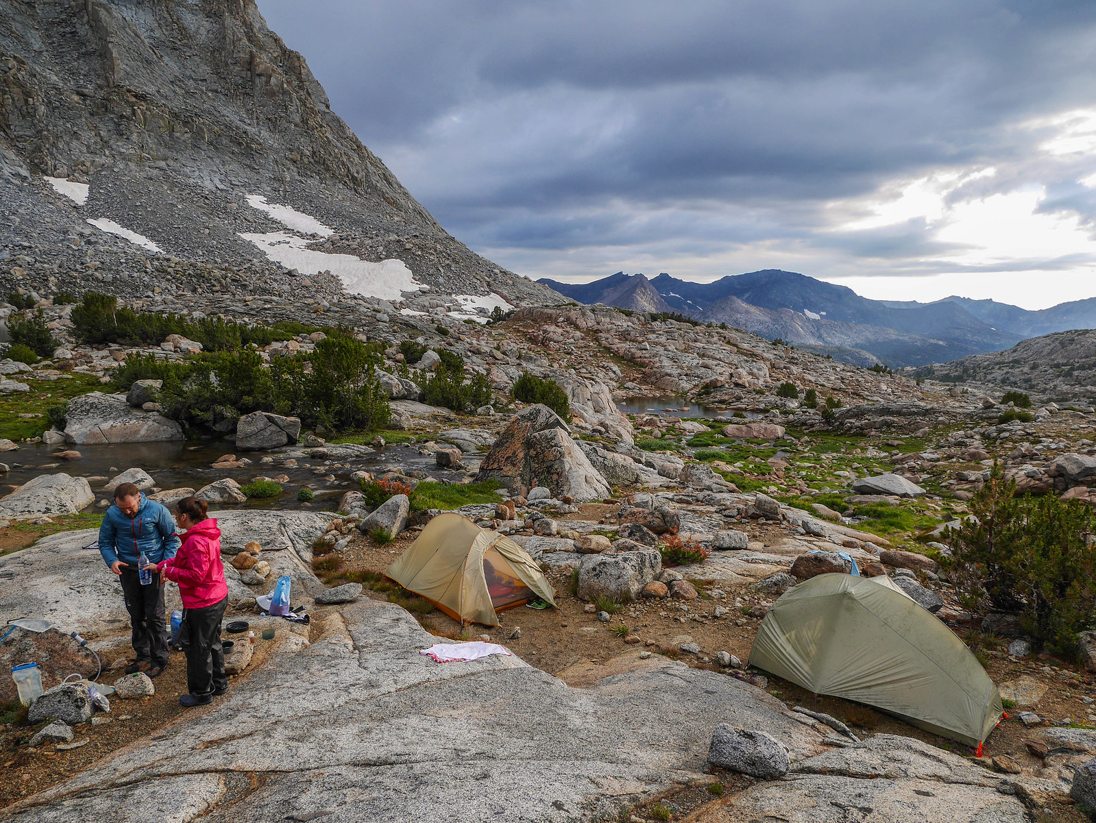
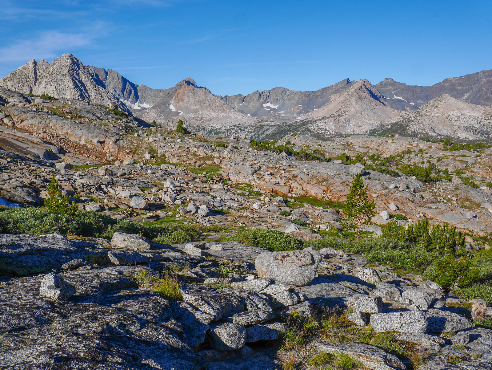
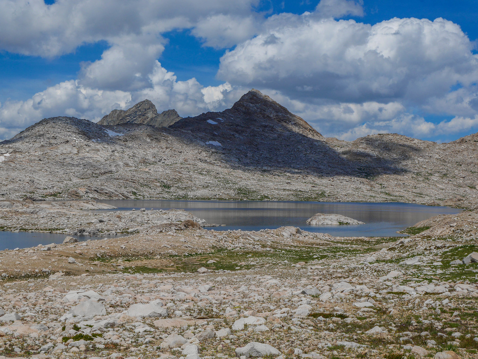
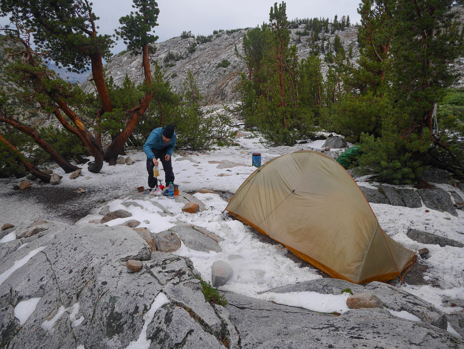
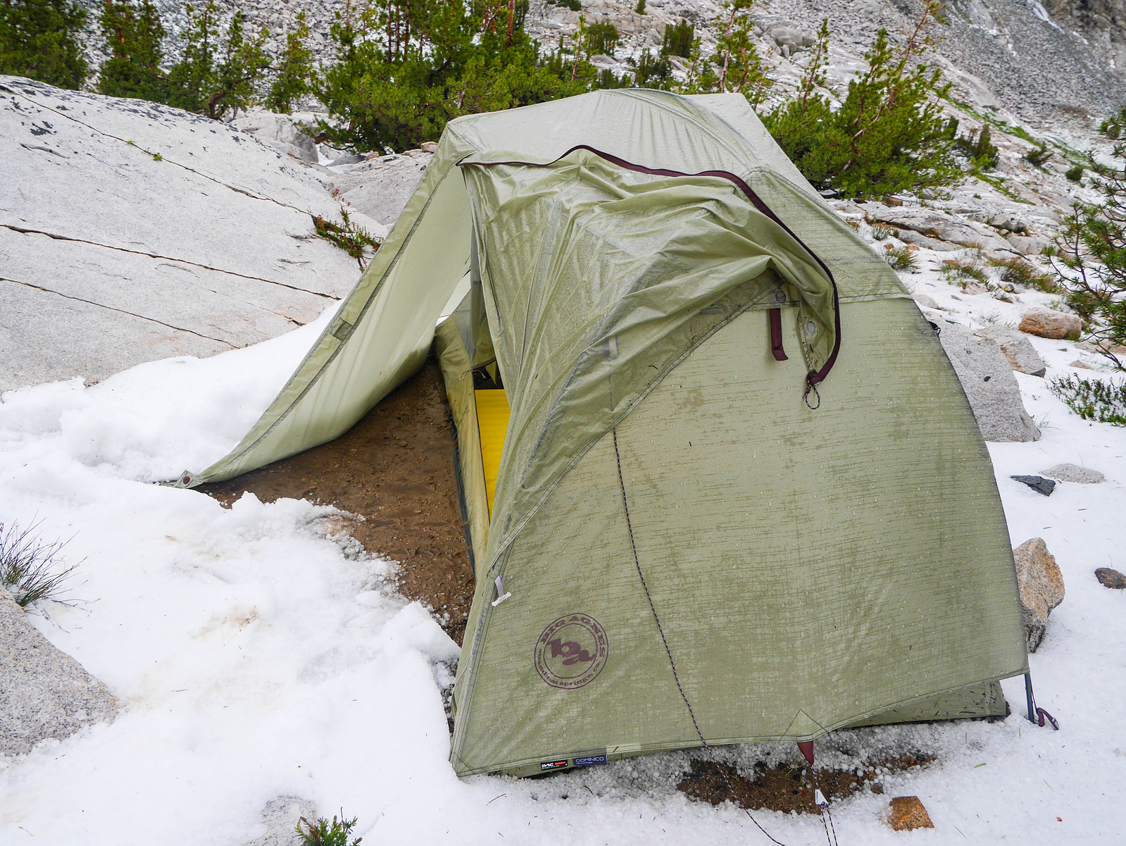
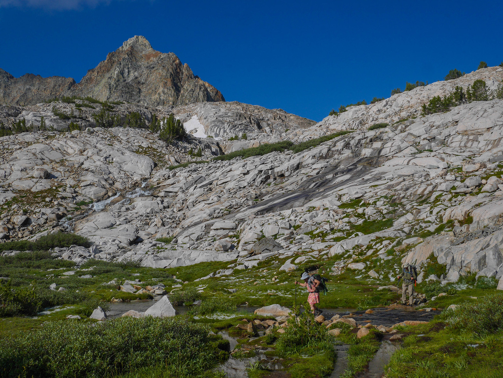
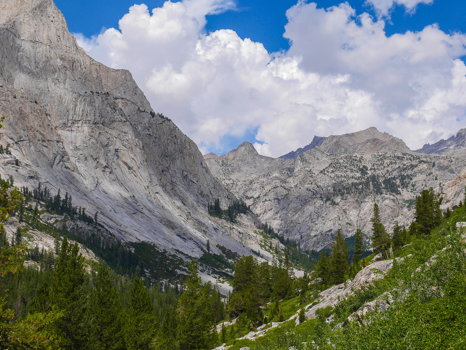
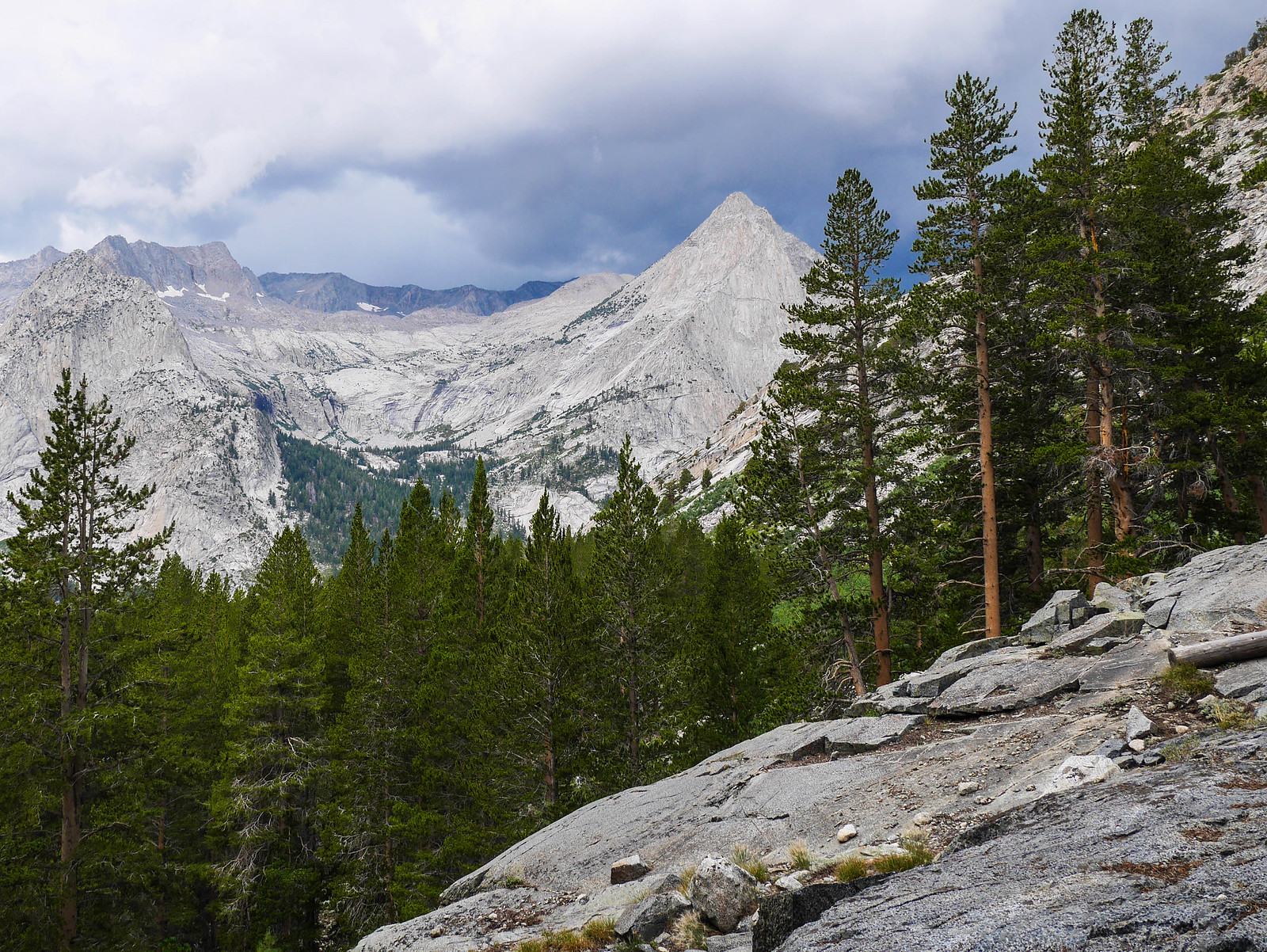
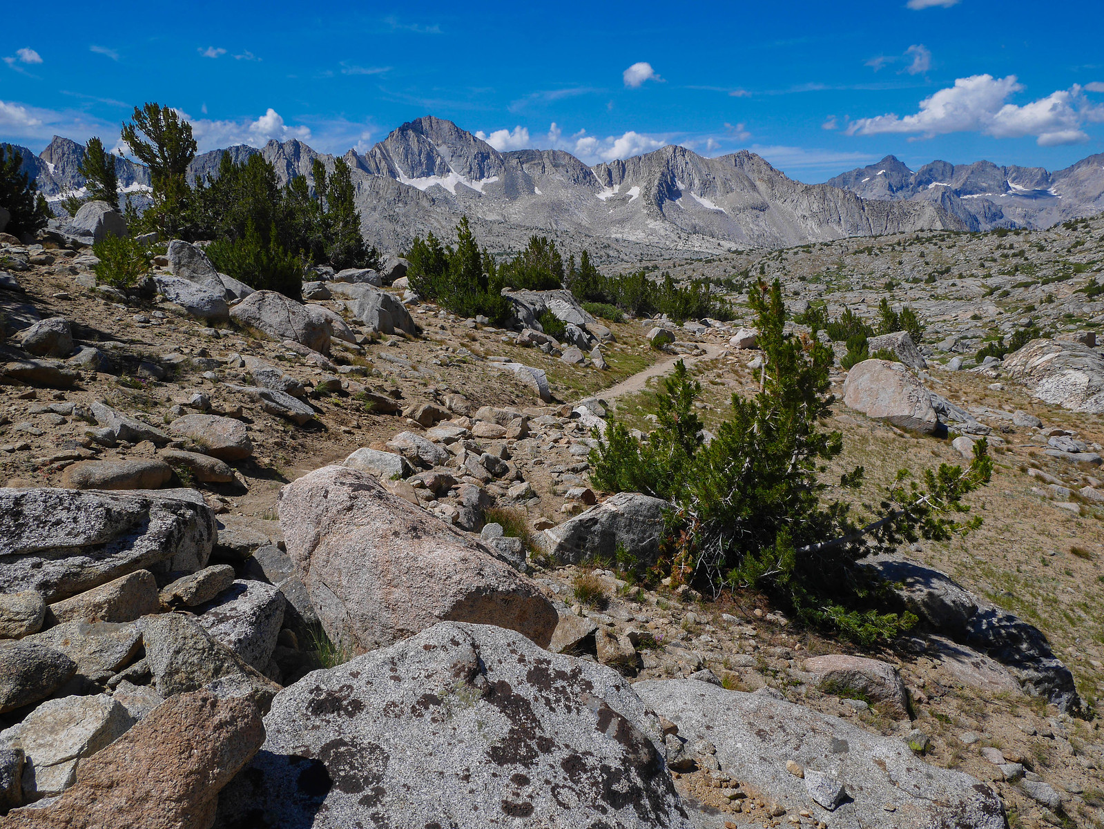
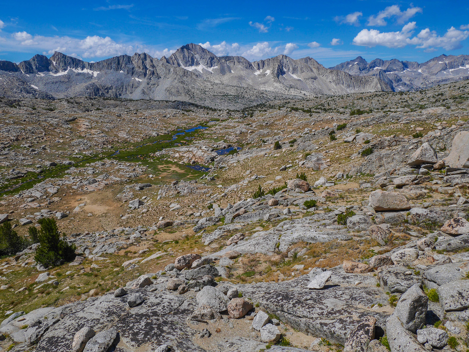
At the junction with the Bishop Pass trail, we stopped for water and to debate a bit about what our plan should be. The clouds were looking pretty threatening already by noon, and lord knows we were traumatized by the last two days. The climb up to Dusy Basin is at least 2,000 feet just to the lower lakes and we weren't sure if there would be any spot to camp on the way up. It'd of course be safer down here in the canyon, but we had planned to camp up in Dusy Basin. Hrmm. After checking our maps and noticing a flat spot near a stream about halfway up, we decided to go for it. The trail cuts in and out of forest as it ascends and I think this section is one of my favorites as far as vistas go. I mean come on.
The clouds were darkening across the canyon and up above Muir Pass. We felt a few raindrops. It seemed like maybe the previous days would be repeated. So, when we reached the flat spot near the stream, we set up camp. It turned out to be an amazing spot to camp, with a rocky outcrop to sit on to enjoy the view, a stream nearby that was home to thousands of wildflowers, and some friendly locals.
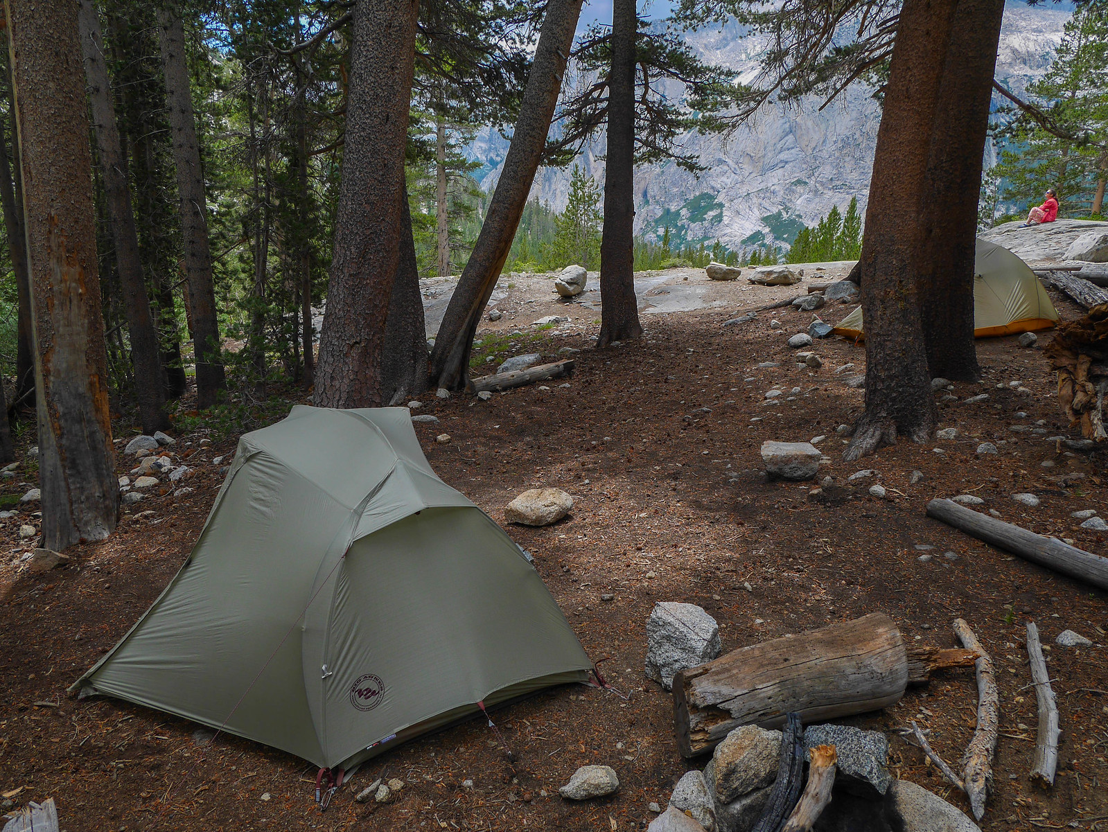
We crawled in our tents to rest and read and see if the storm materialized. After an hour or so, the threat passed. Well, we could have made it to Dusy after all. Oh well. Instead we puttered around camp, chatting and taking pictures.
 [/url]
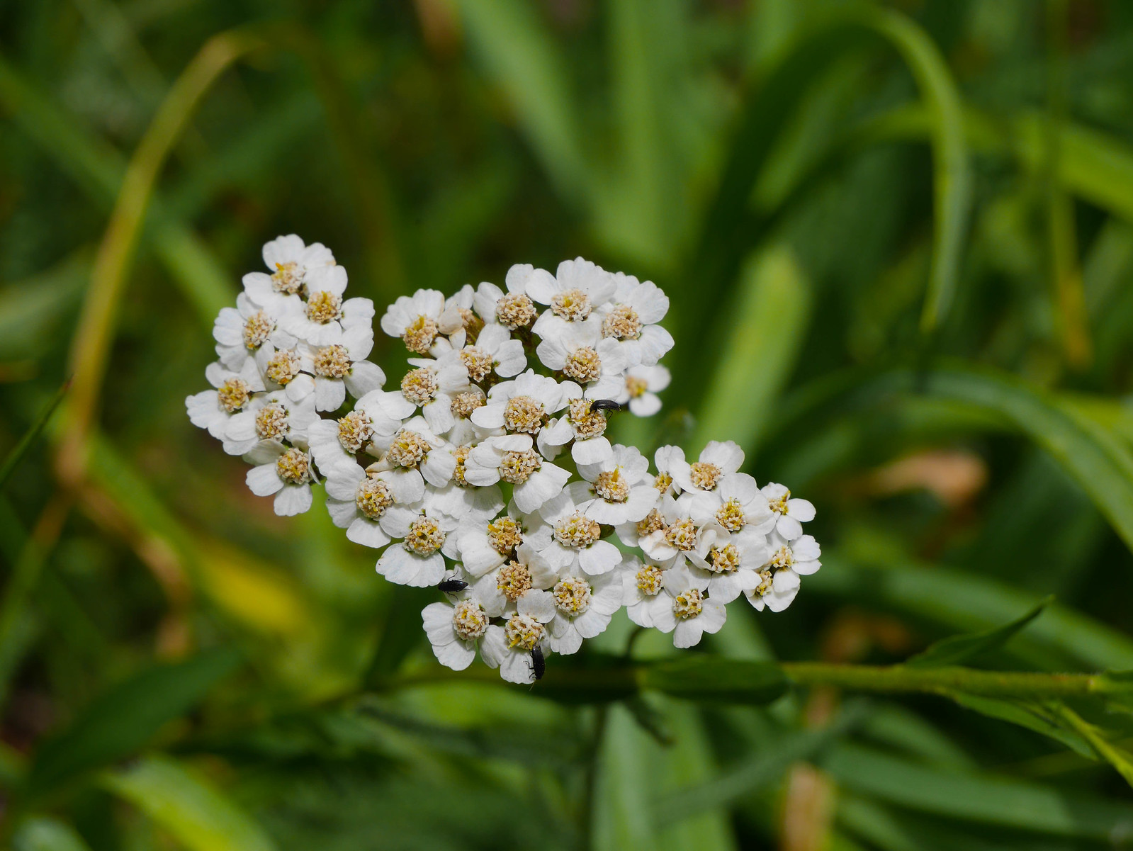
 [/url]
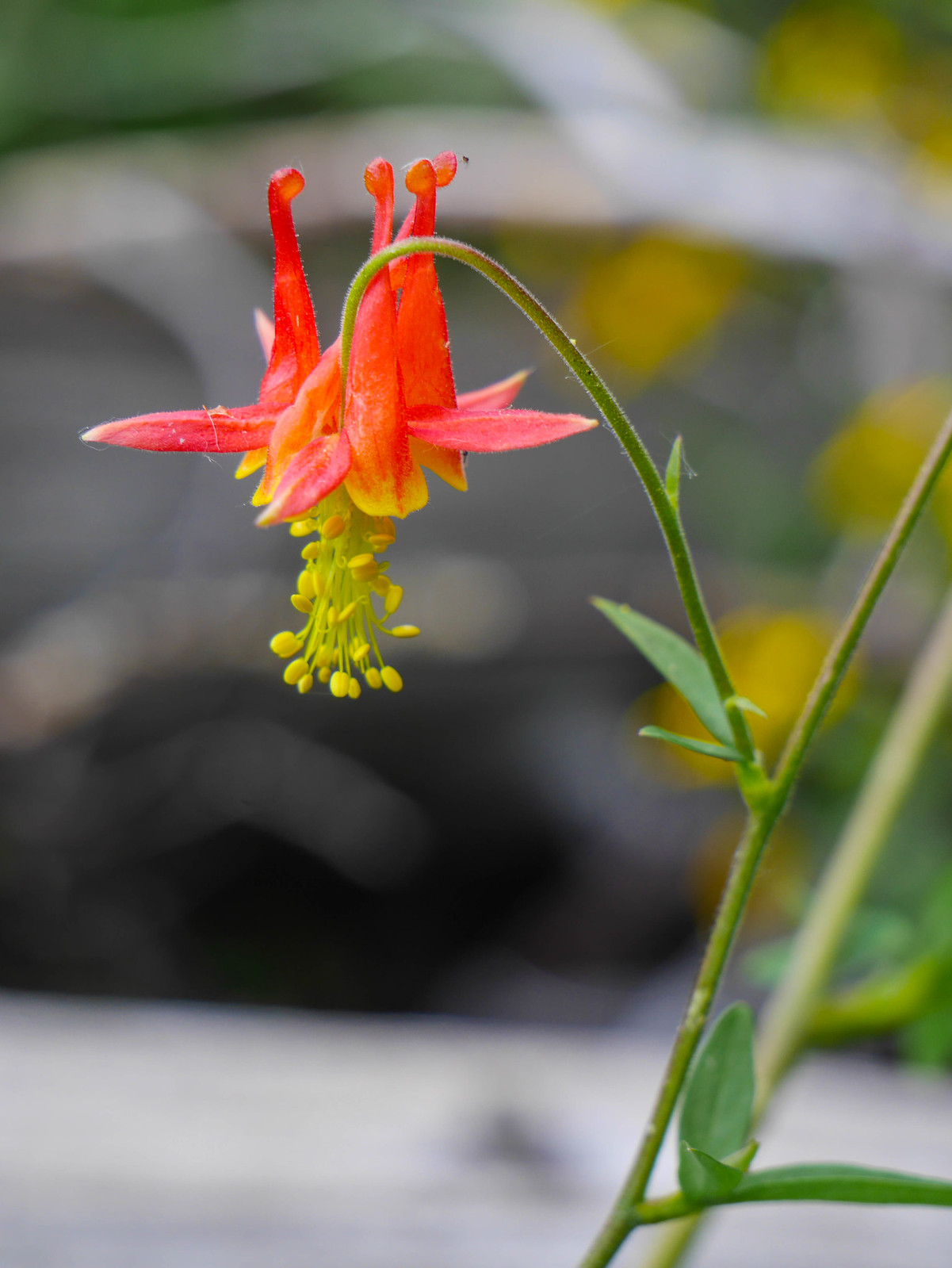
 [/url]
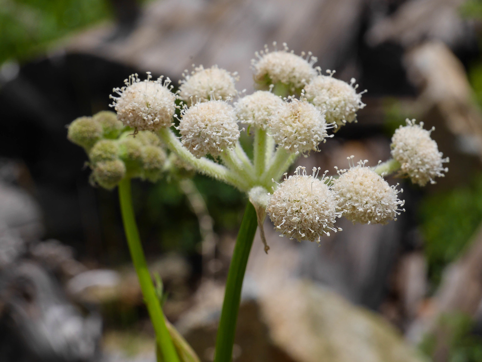 [/url]
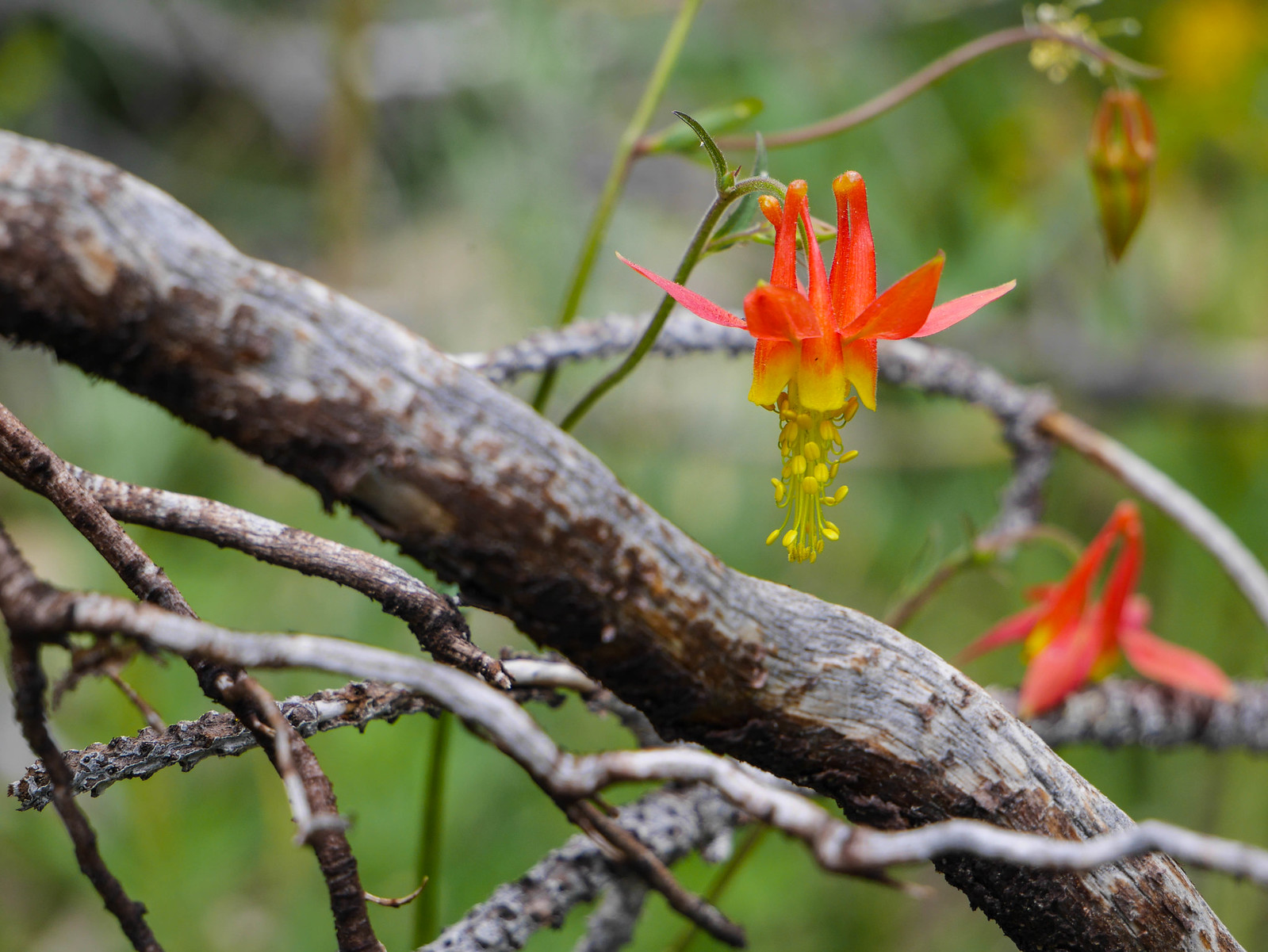
The dark clouds had lingered over Muir Pass all day and we could see rain and hear distant thunder. Soon enough, it was dinner time and you know what comes after that---bed time!
Day 5
Bishop Pass to South Lake
10.5 miles on trail, +2,000ft/-2,200ft
With farther to hike today than we'd planned, plus a car shuttle ((FORESHADOWING)) and long drive after that, we had agreed to rise with the sun and hit the trail at 7am.
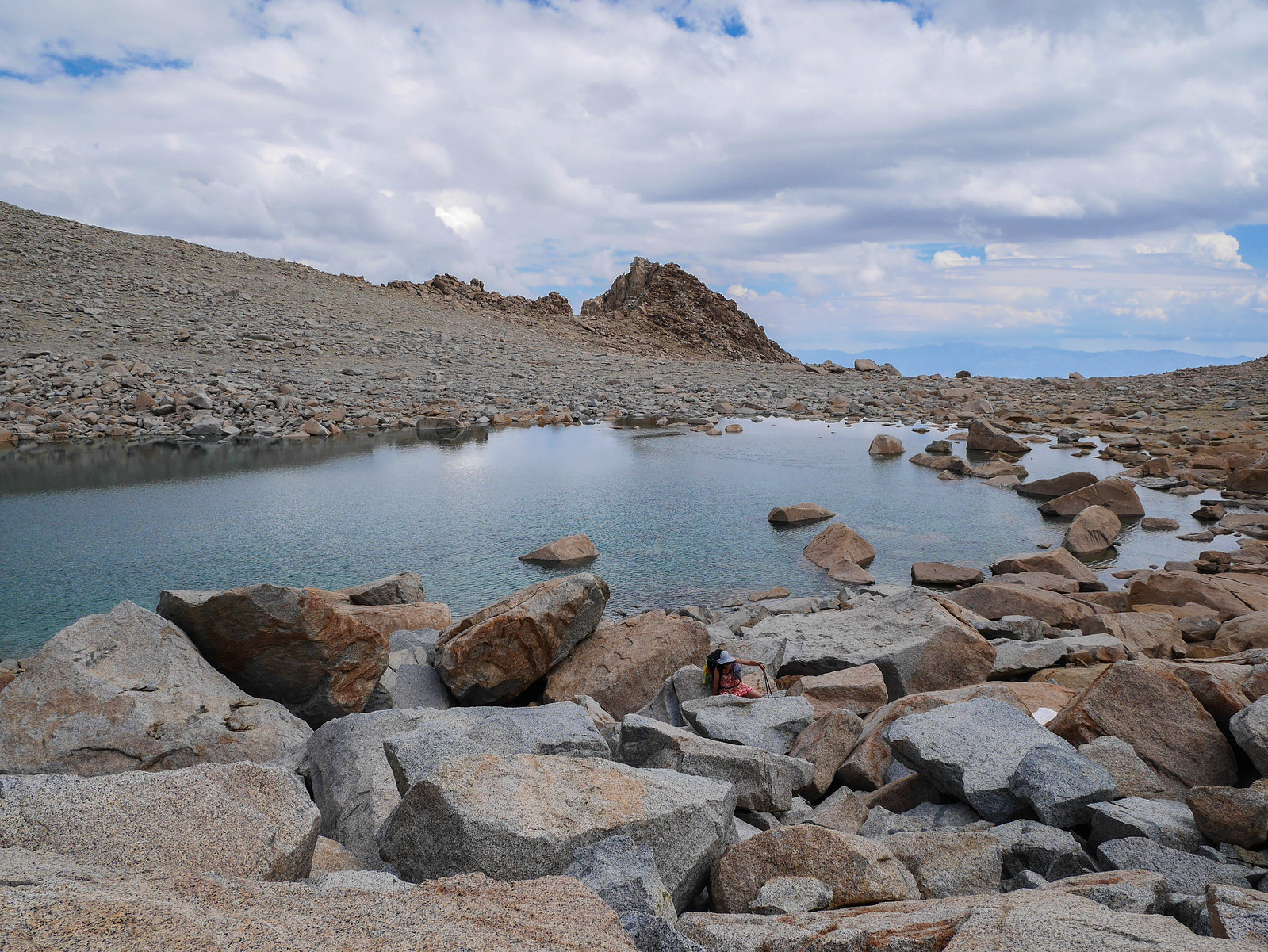
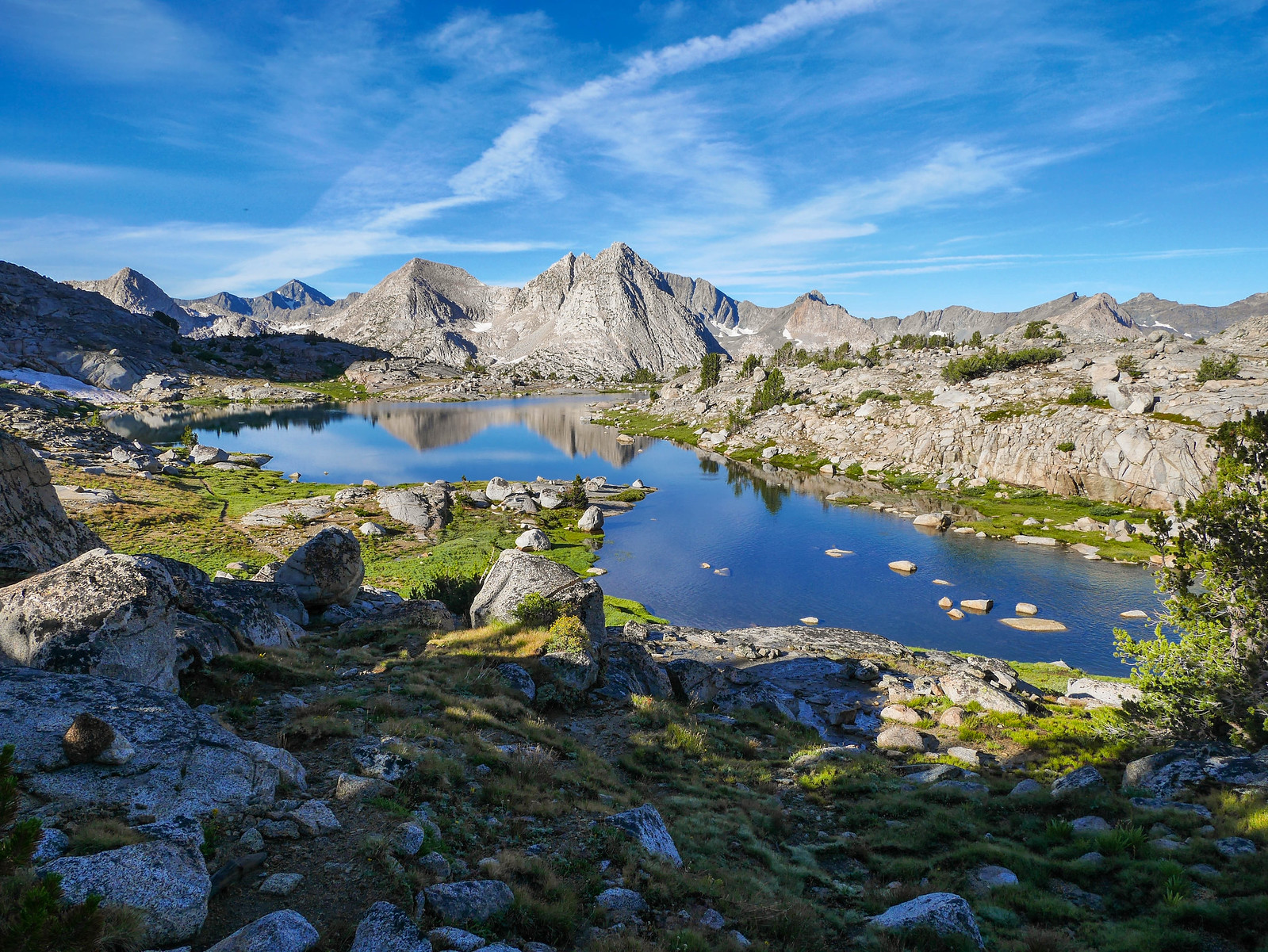
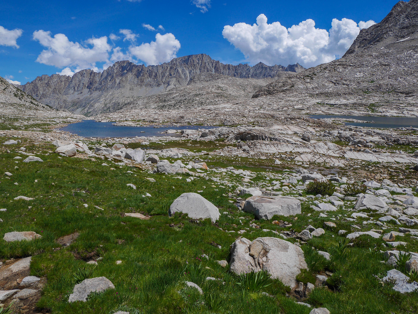
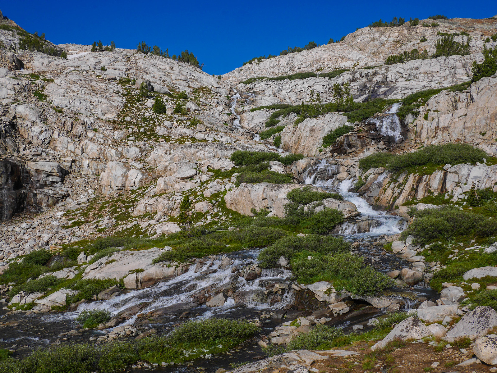
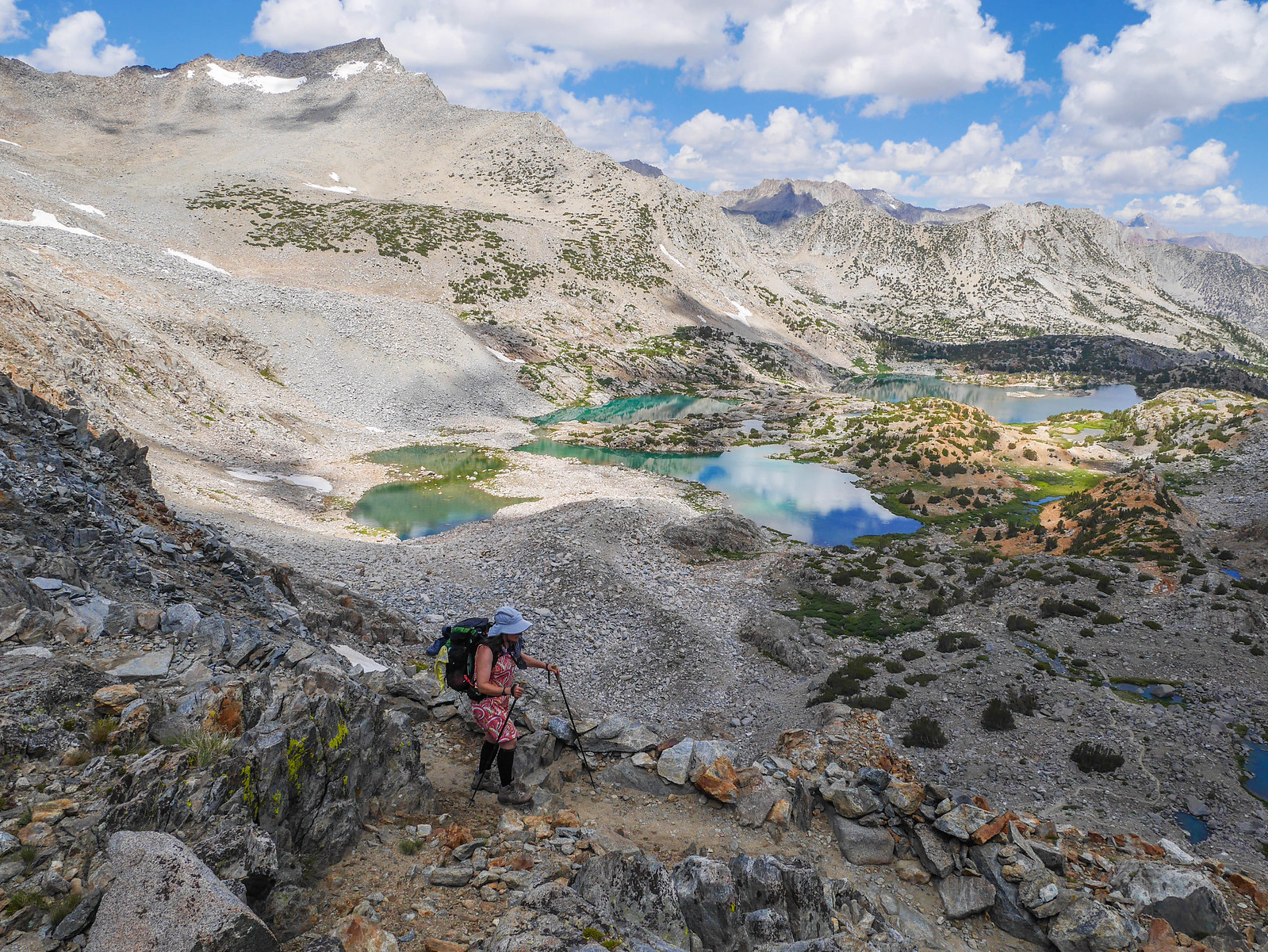
The climb up to Dusy Basin was beautiful, with the trail crossing the stream leading from the lower lakes as it cascaded down granite slabs.
Soon enough we were in lower Dusy and we stopped for a short snack break.
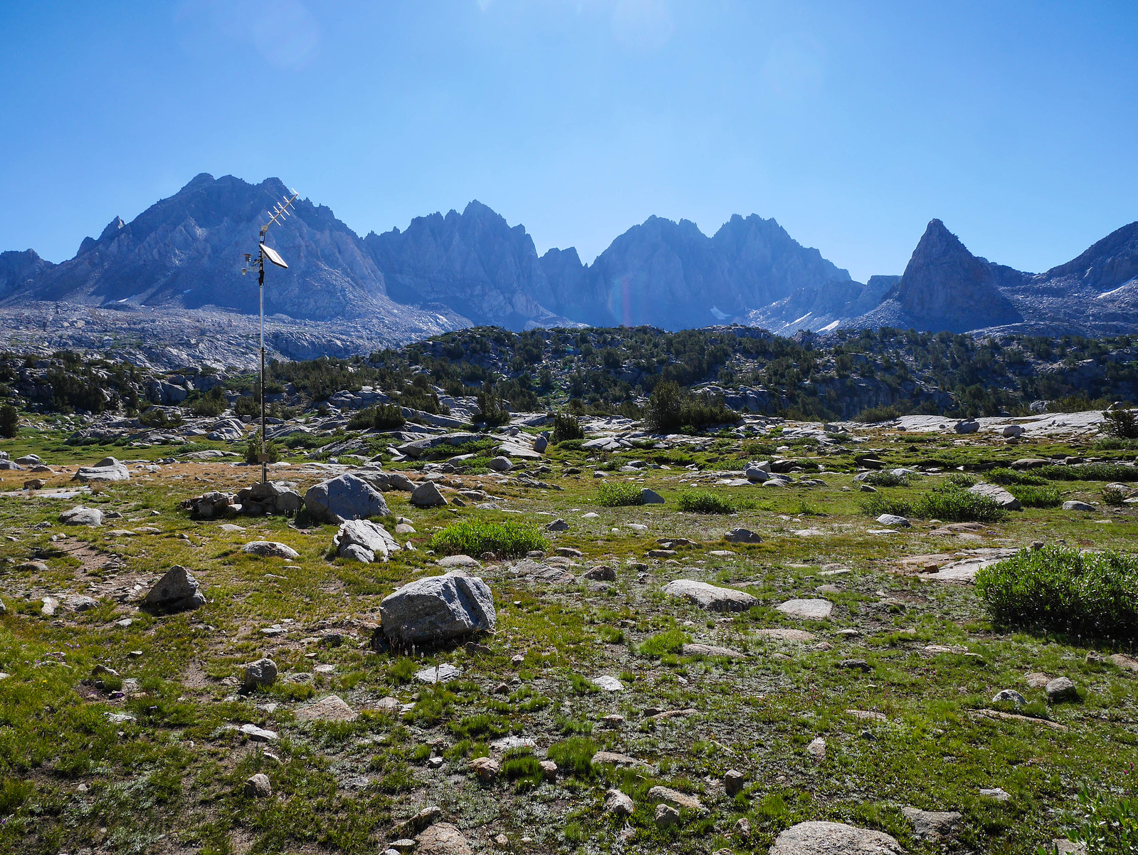
I pointed out peaks and passes around the area and told Jason and Jessica about the trip I'd made up to this area a couple years ago. I told them about the route I'd taken weaving through the upper lakes and over to Knapsack Pass, then back down to meet up with the trail where there was a good marker to know where to leave the trail if you're heading for that pass---it's this weather station.
Once we reached the uppermost lake, we left the trail to head over there to eat lunch with a gorgeous view of the Palisade crest. While we sat there we heard a coyote barking and howling up in the cliff somewhere!
Soon enough though it was time to hit the trail and climb up to Bishop Pass.
Jason and I went slow as we climbed the last bit, both distracted by looking at Mt Aggasiz, which he planned to climb later in the summer.
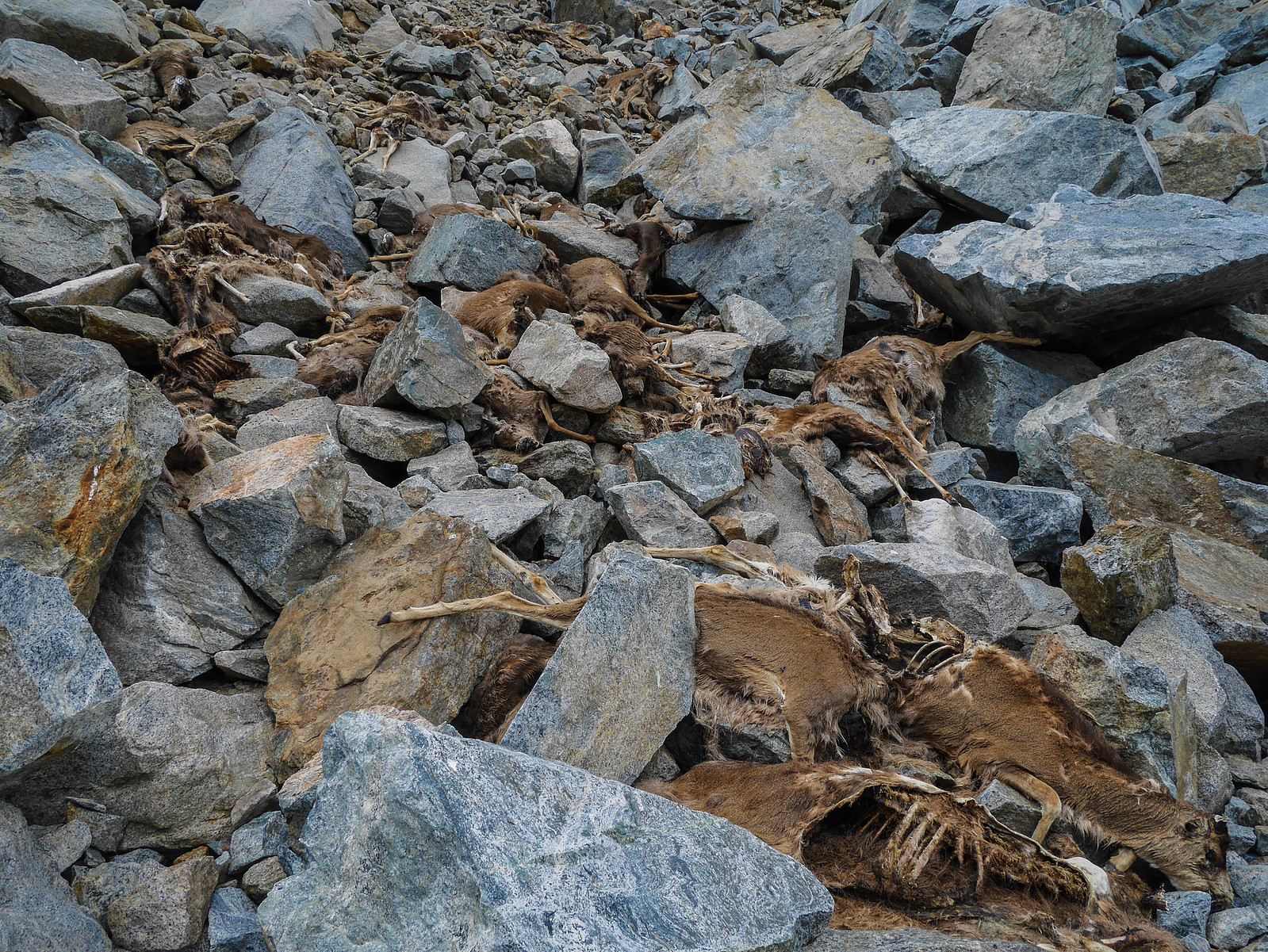
Up and over, soon enough we were descending down towards South Lake. We'd heard there was a herd of deer who met their untimely demise round here somewhere last fall, and that the collection of 60 or so (!!) corpses was raising quite a stink on one section of the trail. Fun things to look forward to!
Ho boy, were they ripe. Maybe this is why the coyote was hanging out nearby.
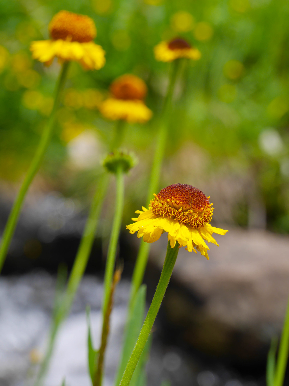
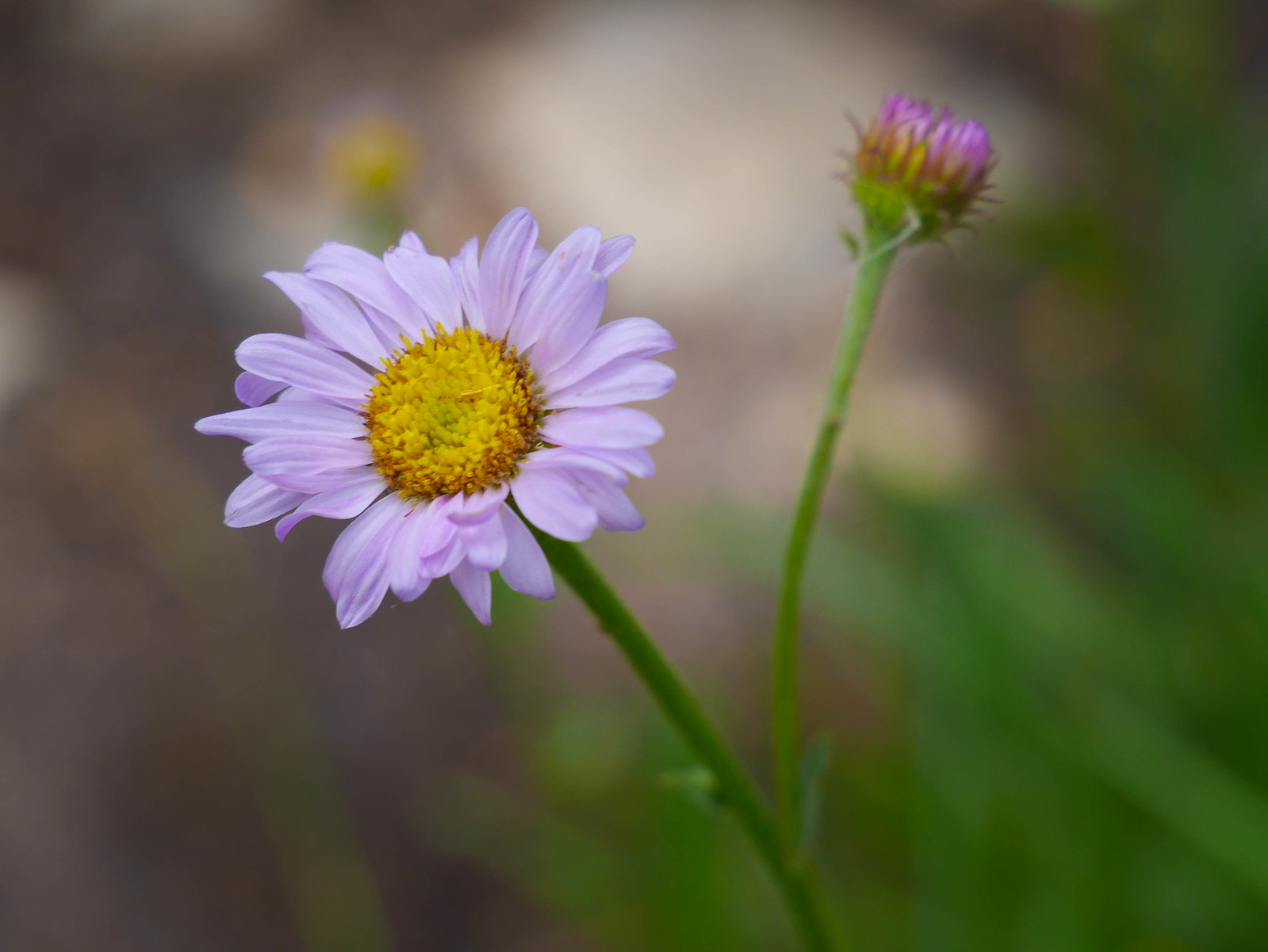
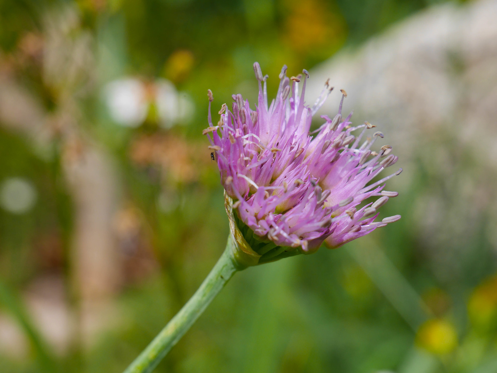
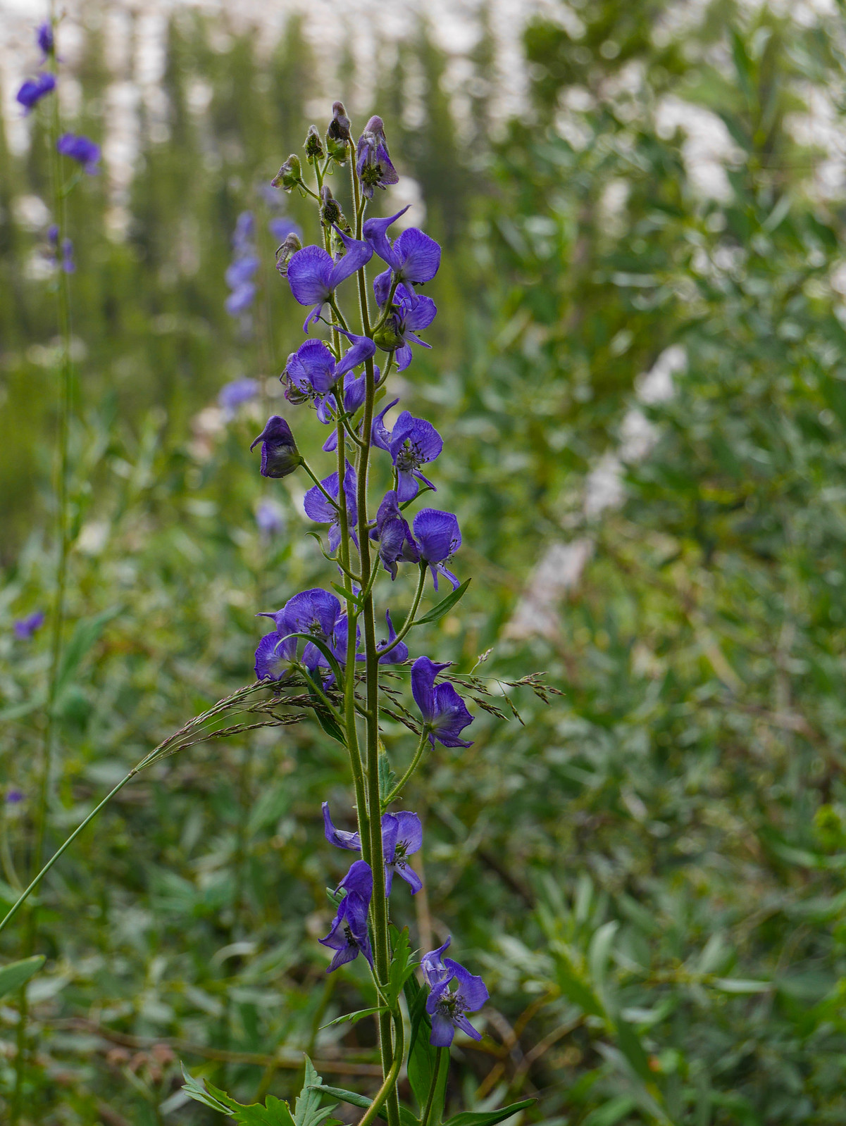
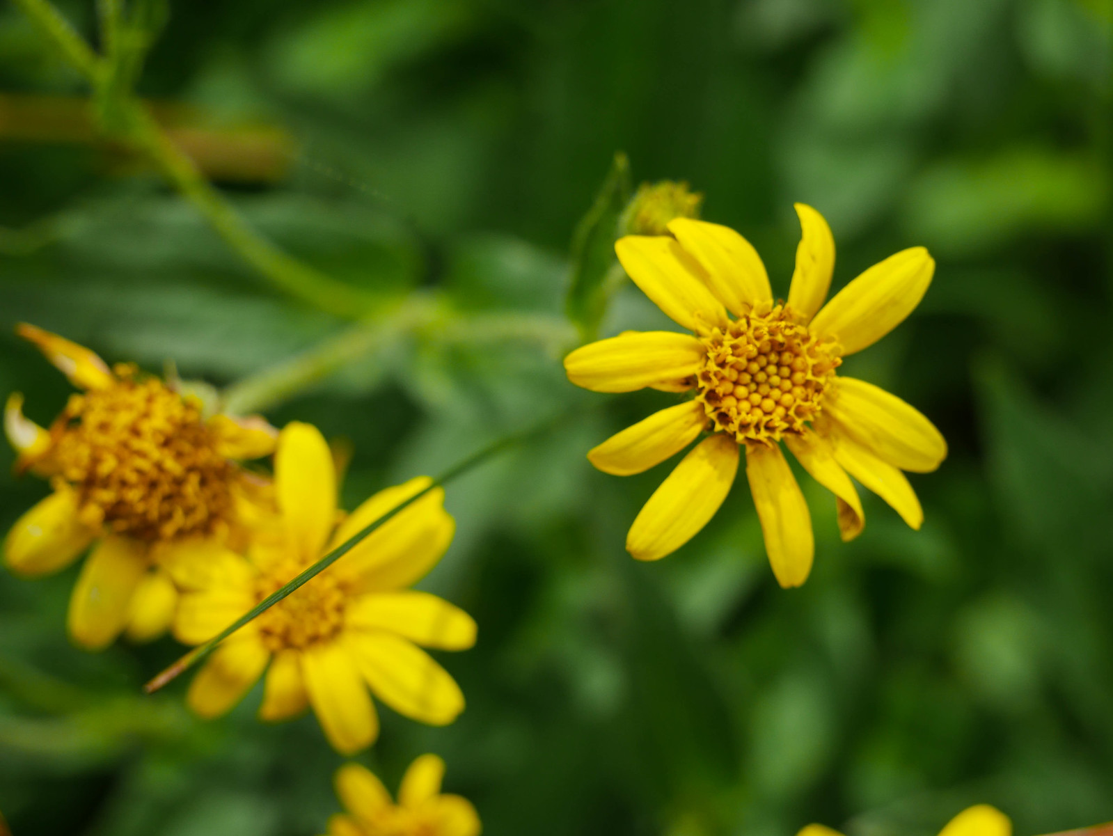
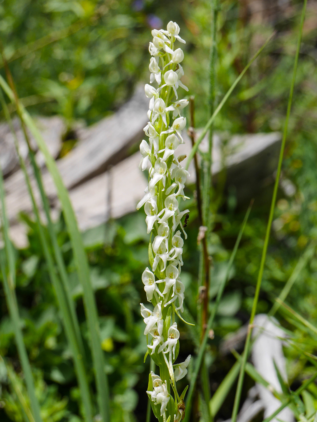
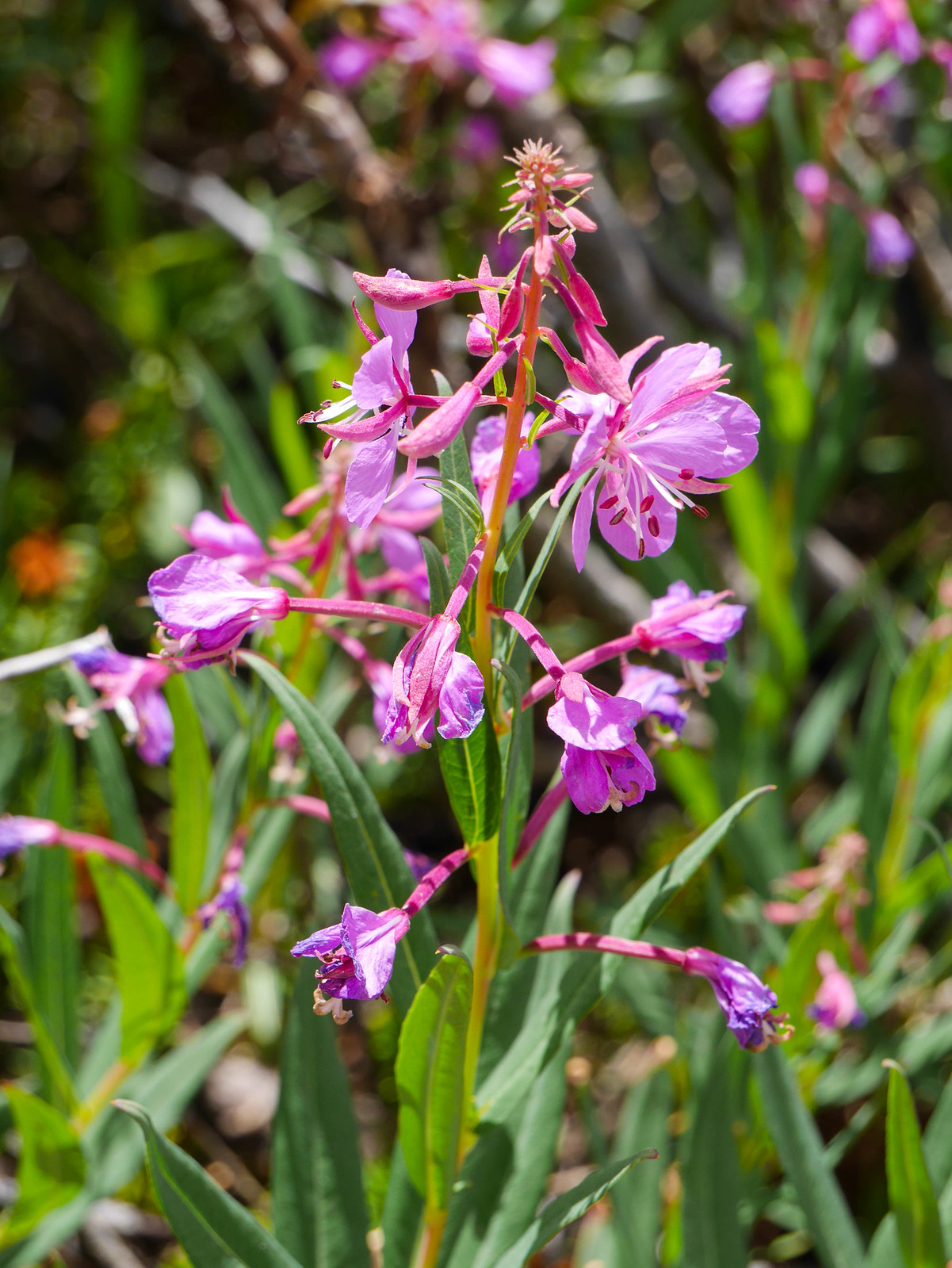
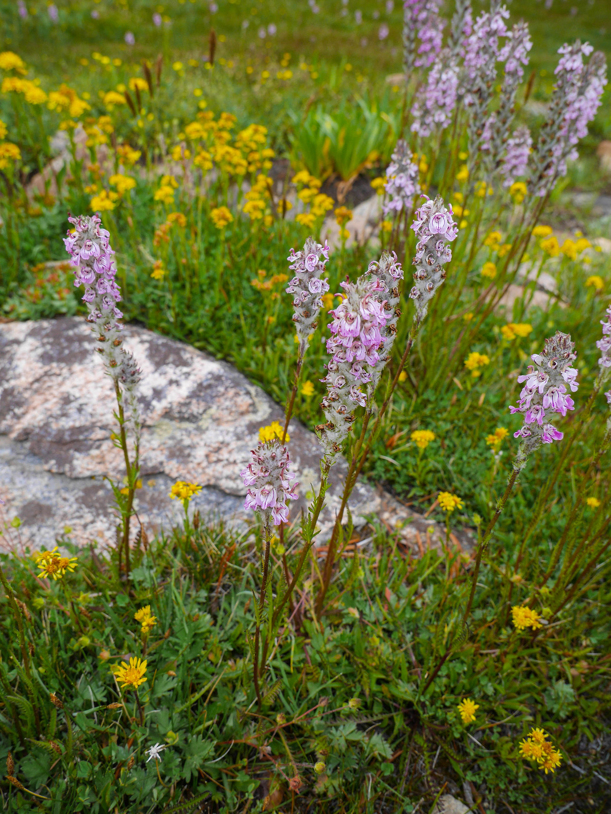
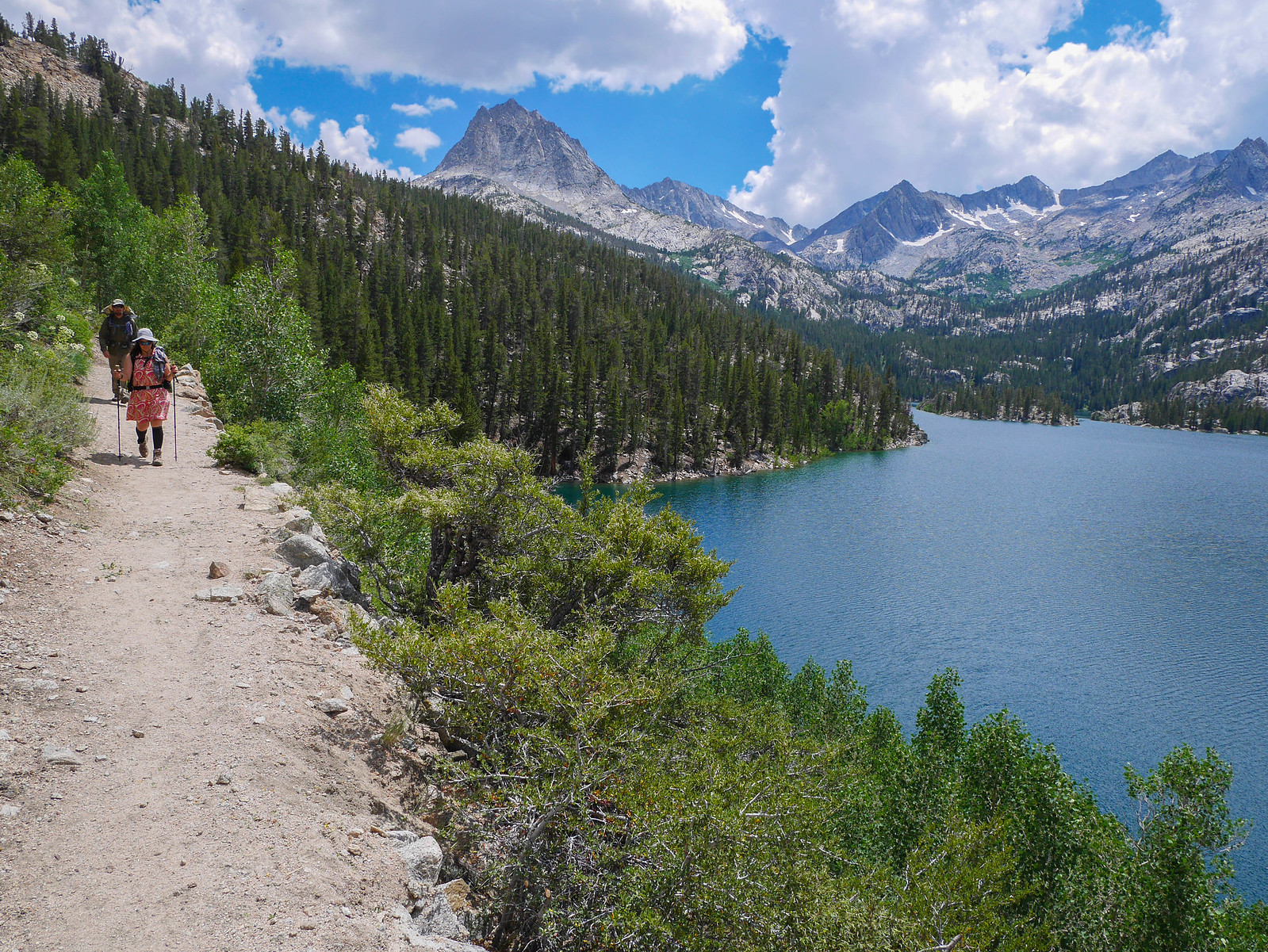
We plodded along down down down. Well, Jason and Jessica plodded while I stopped to take pictures of wildflowers and then hurried to catch up.
[url=https://www.flickr.com/photos/99703682@ ... 266989642/]
[url=https://www.flickr.com/photos/99703682@ ... 266989642/]
[url=https://www.flickr.com/photos/99703682@ ... 266989642/]
Right after taking this photo of elephant head I was hurrying to catch up and freakin tripped and fell right over a stupid rock, turning my ankle. It always happens when you're doing something you think is easy. Miles of talus around Lamarck Col? No problem. One little rock in the middle of a flat section of a trail? YOU'RE GOING DOWN!!
It was around this point that we ran in to some hikers who were doing the semi-loop in reverse. We were all smiles talking to them, oh you're going to have such a great time! it's so gorgeous! The whole way is beautiful!! Excited for you! and then they were like
"Did you hear about the landslide?"
um... excuse me? Did you say LANDSLIDE??? No. We did not hear about the landslide.
"Oh yeah there's a landslide on the road to North Lake, a huge one. Road is closed. Don't know when it will be open. Yean, nobody can get to the trailhead."
****. Jason and Jessica's car was up at the North Lake campground---TRAPPED!! Oh I guess I haven't mentioned yet that I live in Oakland and Jason and Jessica live in Santa Monica. So this presents somewhat of a problem. We both had to be back in town before the next morning for family reasons. It was my niece's birthday and she was visiting. They had family coming in from out of town. So we couldn't just go back to one of our houses and wait it out. What a nightmare. We hustled the rest of the way down to South Lake, coming up with Plan A and Plan B and Plan C and cursing all those crazy storms.
[url=https://www.flickr.com/photos/99703682@ ... 266989642/]
We got to my car and drove up the road as far as we could to see if we could get a look at how bad it was. It looked bad, so we headed down to Bishop. As soon as we had cell service Jason was calling rental car companies while Jessica was calling their car insurance, trying to come up with a solution. We went to the ranger station to see if they had any information about when it would be cleared and of course they didn't because it's CalTrans not the Forest Service that's in charge of that. We resigned ourselves to the fact that they'd have to rent a car and drive back to LA. Then a week later (hopefully, if the road is open) drive back to retrieve the car. What a pain in the rear. I felt so bad for Jason and Jessica. I mean it was 50-50 that it would have been my car that was trapped. I offered to pay for part of the rental and of course gracious as they are they wouldn't allow it. So, after a somewhat gloomy late lunch at Schatz's Bakery, I drove them to the Enterprise location and we said our goodbyes. They were, indeed, able to retrieve the car a week later.
Want to do this trip yourself? (hopefully sans landslides) You'll need a [url=https://www.recreation.gov/permits/233262/divisions/497]permit for [url=https://www.fs.usda.gov/recarea/inyo/re ... ecid=20368]Lamarck Lakes from Inyo National Forest. Pick up the Tom Harrison [url=https://tomharrisonmaps.com/shop/bishop ... lake-loop/]Bishop Pass-North Lake-South Lake map and the Mount Darwin USGS quad.


