If you wanna read this trip report on my blog, you can check that out here
Who: Just me!
What: Backpacking
When: 8/18/18-8/23/18
Where: Inyo NF / Sequoia / Kings Canyon NP
Mileage: 52.5 miles (40.5 on trail plus 12 XC)
Elevation gain/loss: +14,800ft/-14,800ft
More photos: here
CalTopo: here
Just before the semester began, I headed out to the eastern Sierra on a 5 night trip near the JMT along Forester Pass. My goal was to see Junction Pass, which is the route the John Muir Trail took to cross the imposing east-west ridgeline that now marks the boundary between Kings Canyon and Sequoia National Parks. I wanted to hike the remnants of the old JMT, explore Center Basin, and cross over Shepherd's and Forester Passes, two that I had seen from afar on previous trips but not been over. I accomplished all this and more on this trip, which included 2 cross-country plus 4 high trail passes in 6 days, as well as hours upon hours of solitude on the cross-country bits, plus a decent but not off-putting amount of socialization on the JMT/PCT.
Day 0
I drove from the bay area down to Bishop and got a sandwich at Schat's Bakery before heading up to Onion Valley to snag a campsite. I didn't have a reservation, so I made sure that I arrived early enough to get a walk-in. When I arrived at the campground around 2pm on a Friday there were two drive-in and about six walk-in campsites left. I set up camp and then headed back to town to get some work done at a coffee shop, returning to camp around dusk to tuck into my sleeping bag. Around 10pm a car arrived at the neighboring campsite and the two women who got out were loud and bright. I tolerated their obnoxiousness for a bit but when they were done setting up their camp and appeared to just be hanging around waiting for some more friends, shining their headlamps directly on my tent for no reason, I couldn't help but nicely request that they not shine their lights directly on my tent. If you're arriving late at a campground, a couple pieces of etiquette: take note of bathroom and trash facilities as you drive in to your spot, turn off your car headlights as soon as you can, try to avoid shining any headlamps or flashlights onto any neighboring campsites (especially tents, since shining even a weak light into a tent makes it feel like a fluorescent-lit office), and keep your voices down.
Day 1
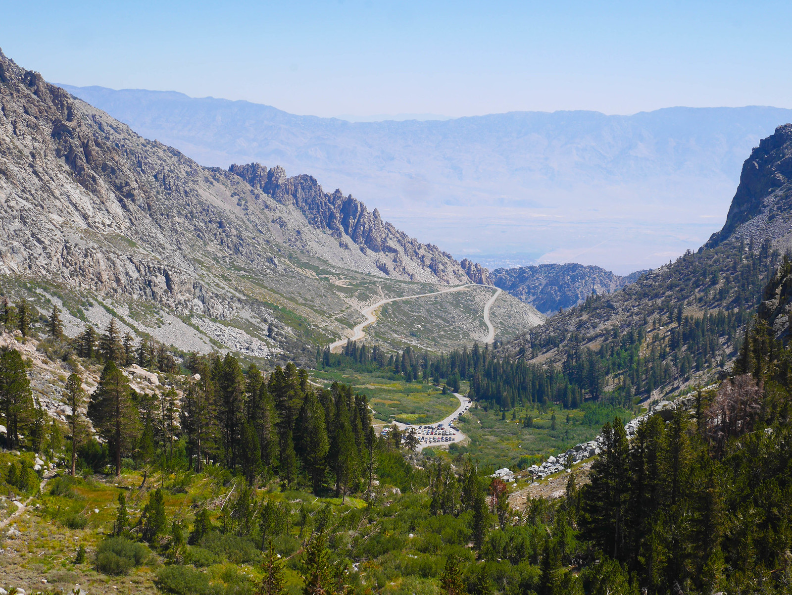
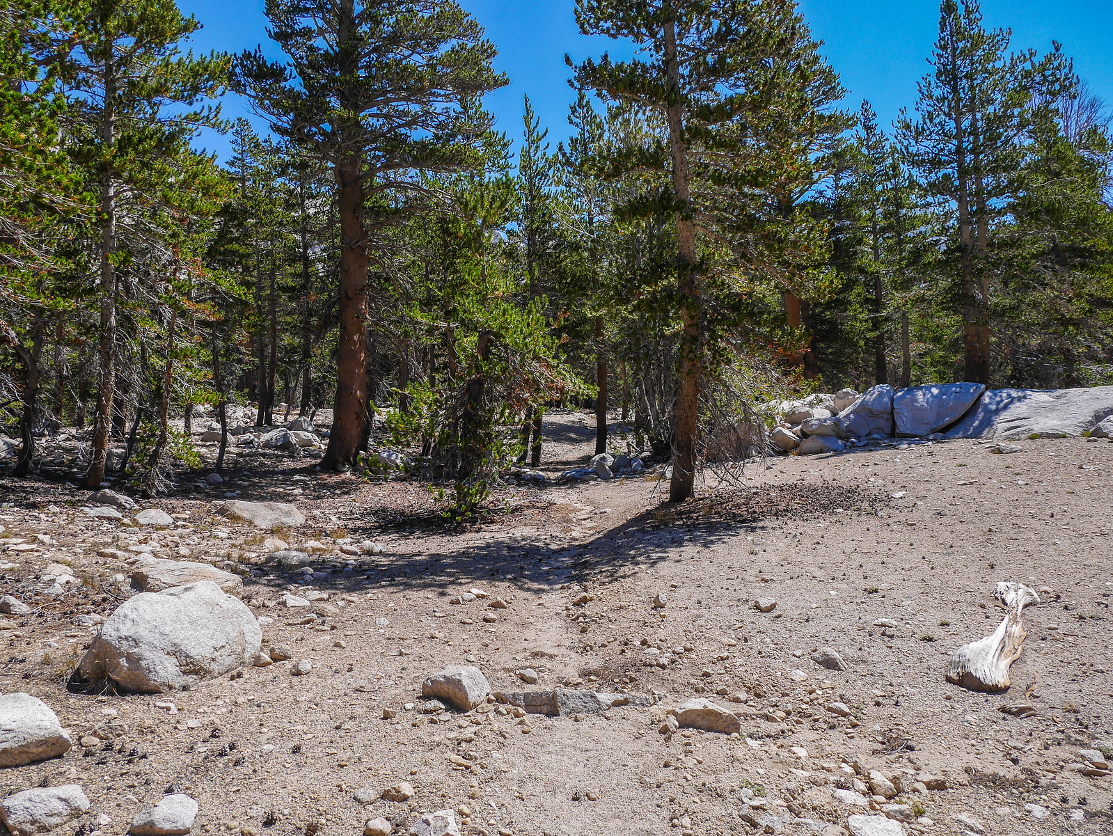
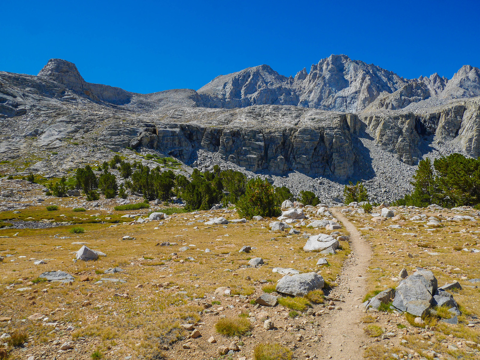
Onion Valley to Upper Vidette Canyon
11 miles on trail, +3,650ft/-2,450ft
I slept in a bit due to being kept up late by inconsiderate camp neighbors, but eventually I dragged myself out of my cozy down quilt cocoon and started the climb up to Kearsarge Pass. Generally it's best to start these east-side entry passes early in the morning so you don't find yourself sweltering with the sun beating directly down on you the whole way. I didn't manage that this time, but still it wasn't too terrible beginning the climb around 9:45am. The main annoyance I had wasn't sweltering sun rays but an abundance of day hikers, including a group that included this ridiculous dog with ribboned pigtails.
I made steady progress towards the pass, keeping an even pace and not stopping except once to pee and another time for a short breather. It wasn't long before I reached treeline and then Big Pothole Lake.
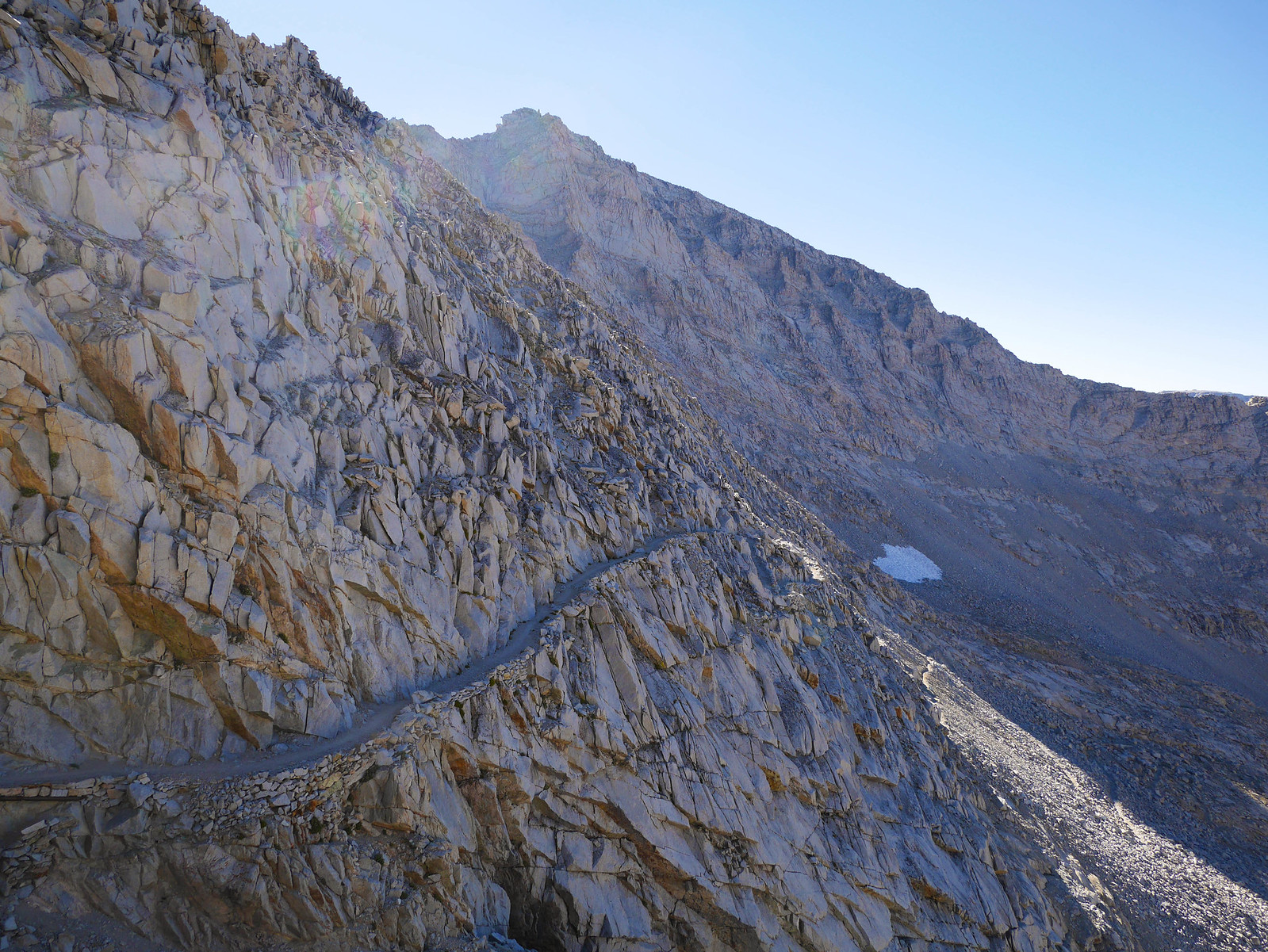
Now Kearsarge pass was in sight; just a nicely graded but exposed trail between me and it.
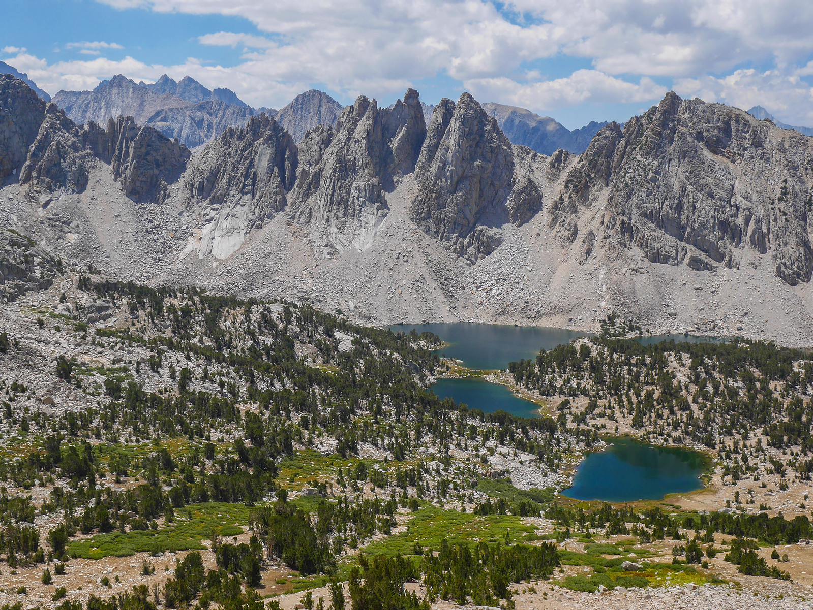
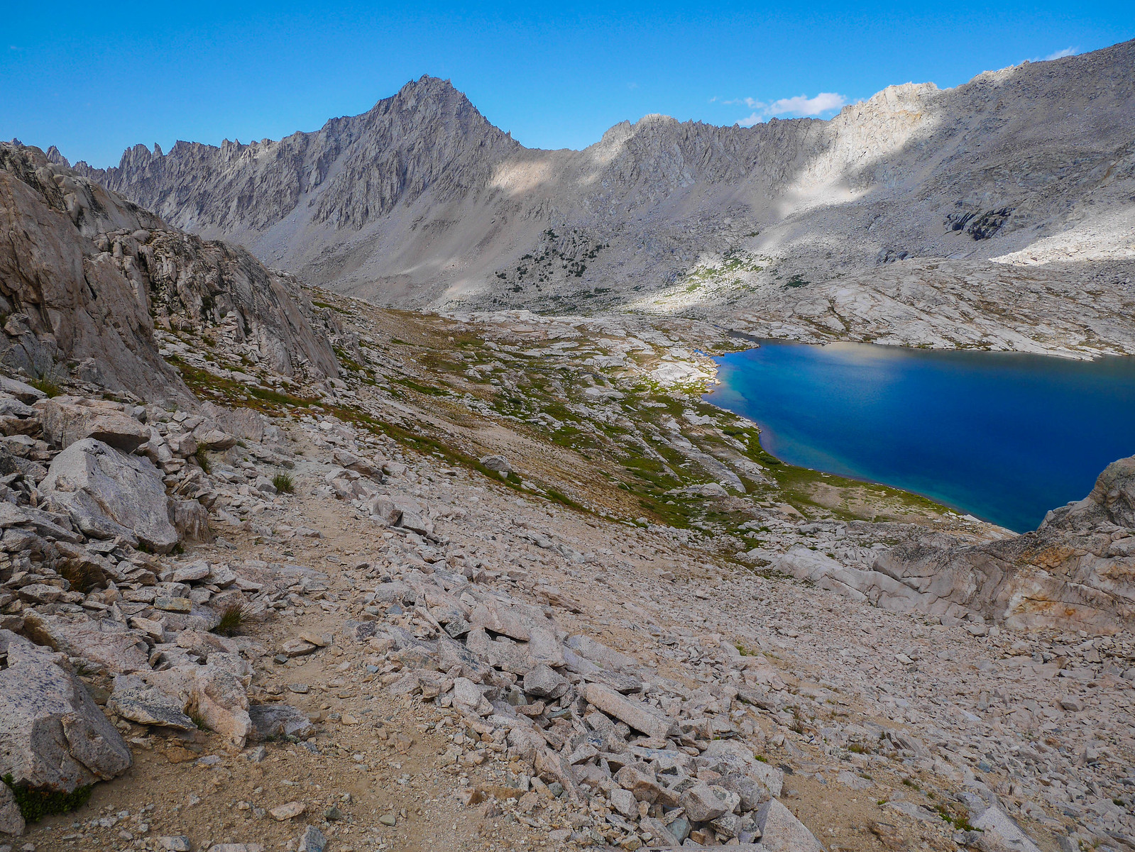
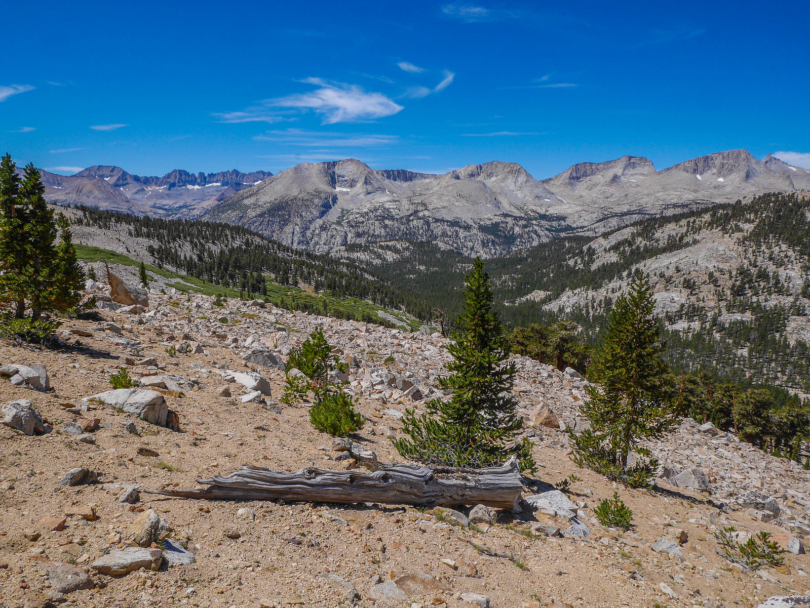
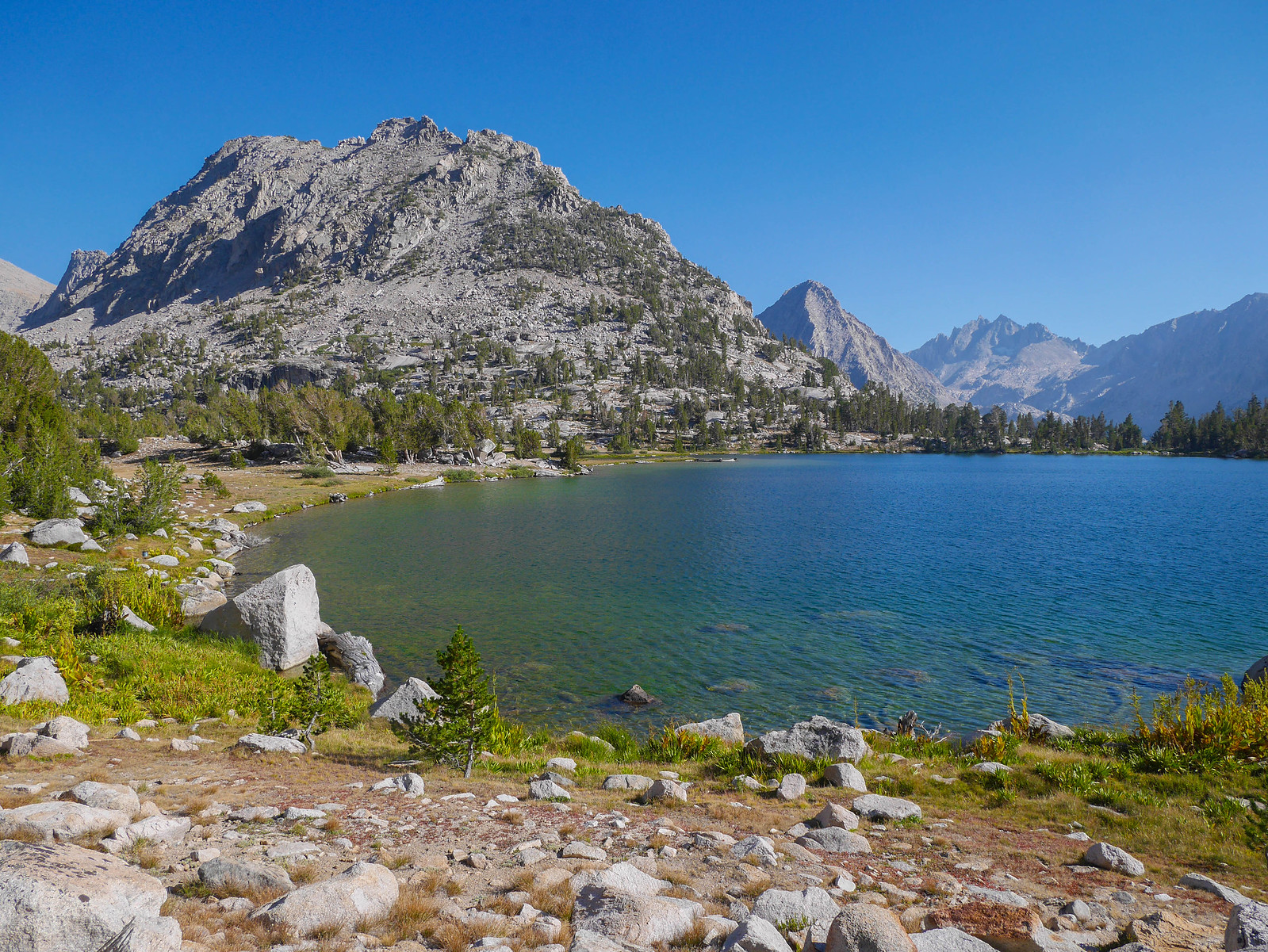
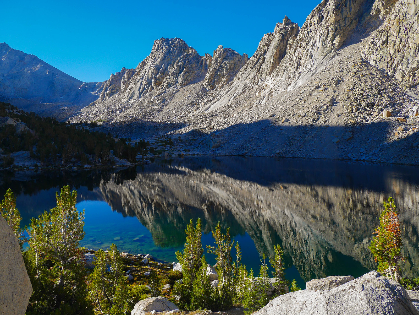
I was on top by 11:45am, taking the classic photo of the view west from the pass. The near lakes are the Kearsarge Lakes, nestled below the Kearsarge Pinnacles. Farther east ies Bullfrog Lake, which drains south into the canyon between the Kearsarge Pinnacles and the Kings-Kern Divide.
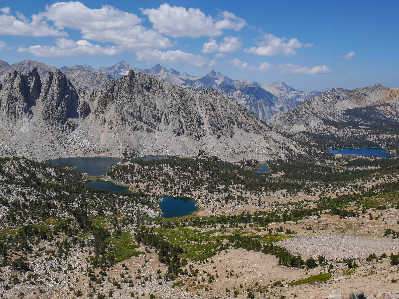
I snapped a photo south towards the Kearsarge Pinnacles before hanging out for about an hour with the dozen or so day hikers that were clustered at the top of the pass. I turned down one of their offers for a beer, sadly, because I had more hiking to do.
Before long I was antsy, so headed down from the pass. In my trip planning I had imagined that I'd take it easy this day and camp at the Kearsarge Lakes, but I was feeling good so I pushed on, first passing Bullfrog Lake (where camping is not allowed)...
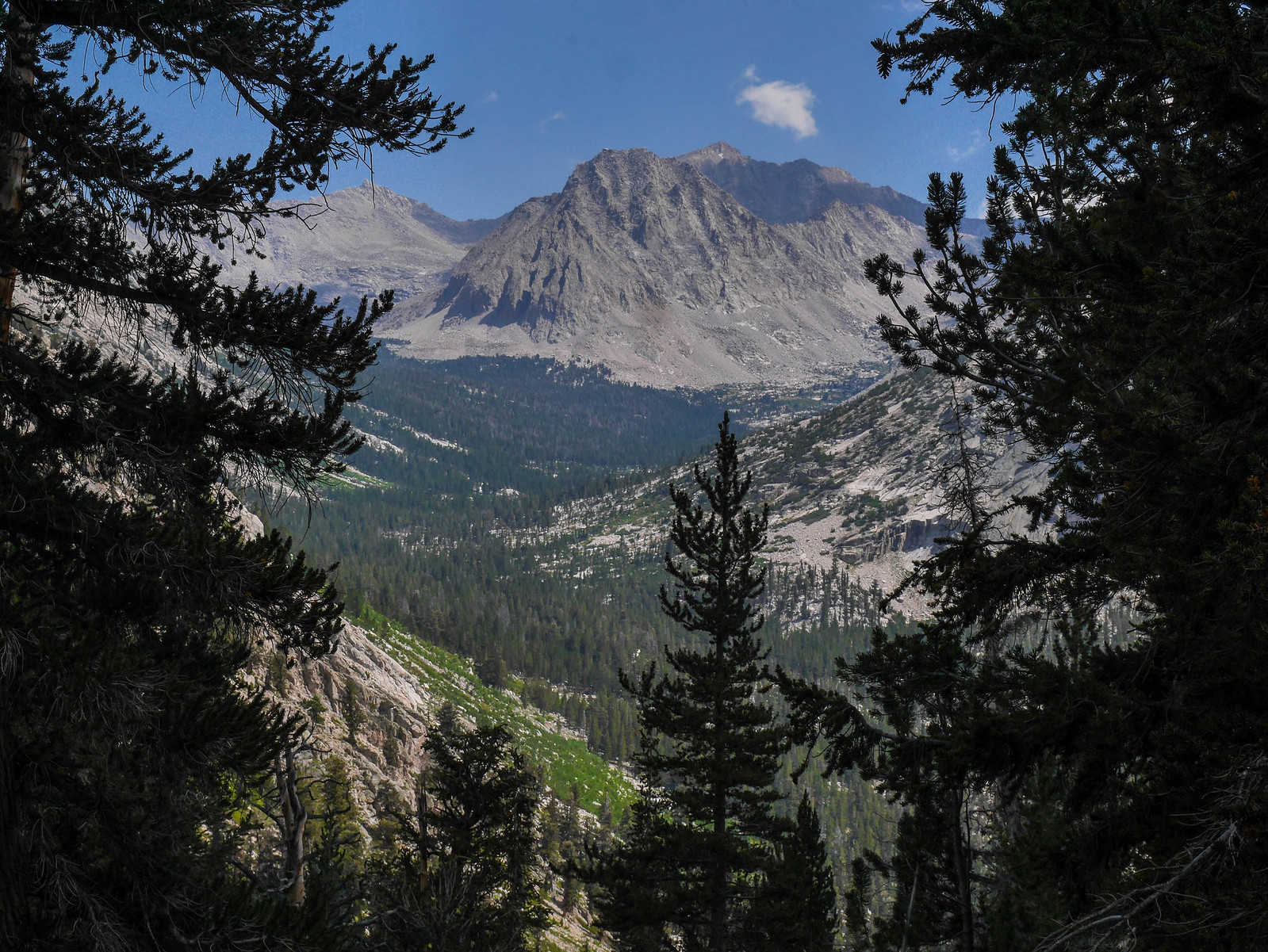
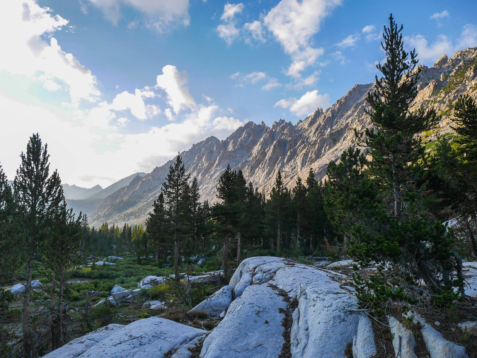
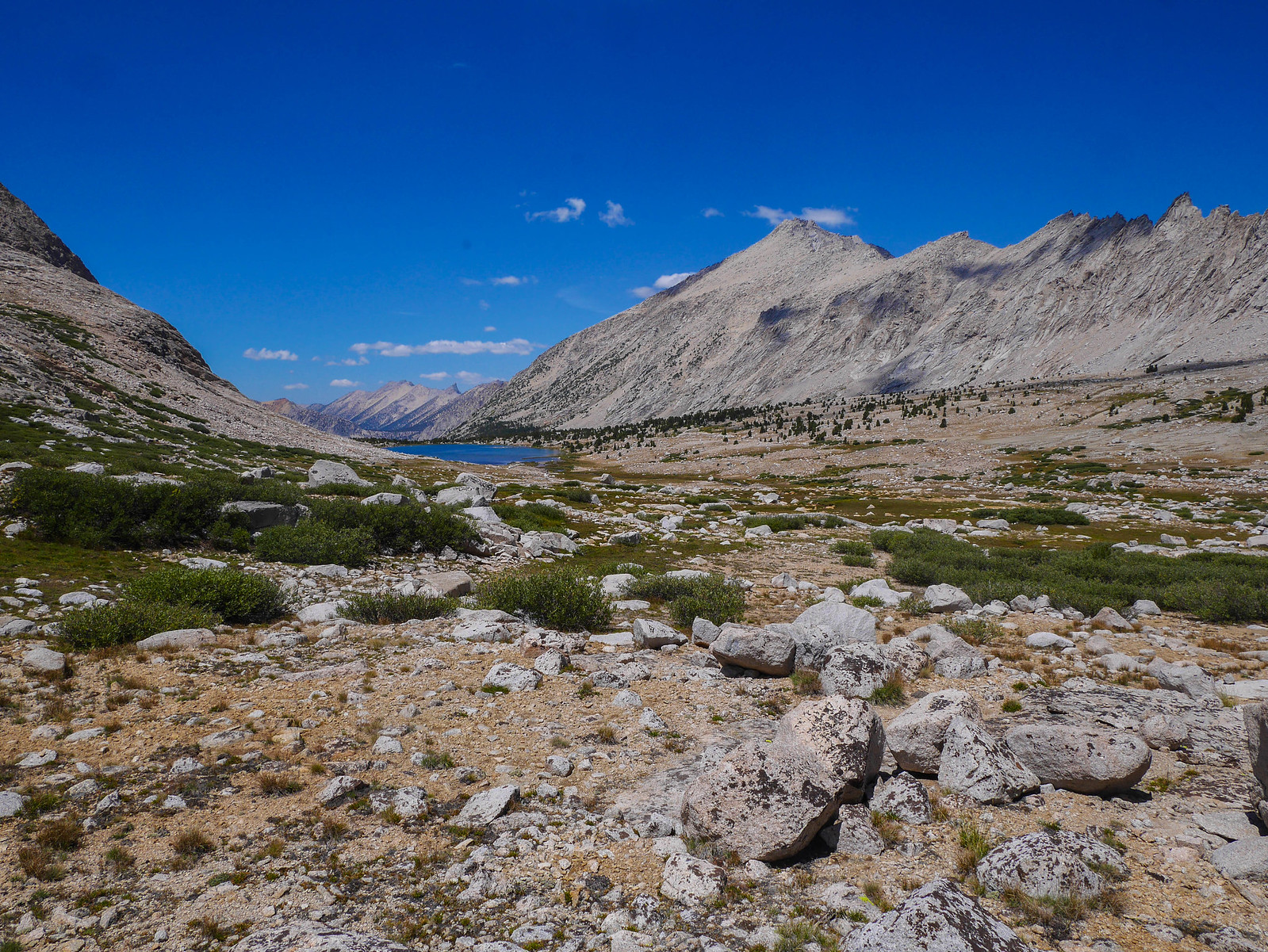
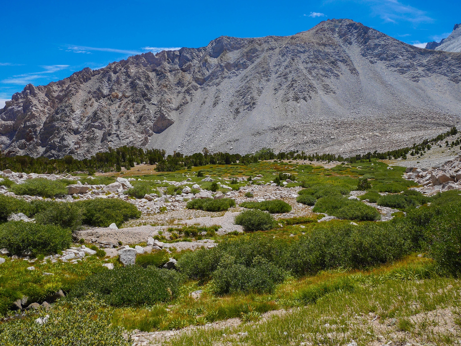
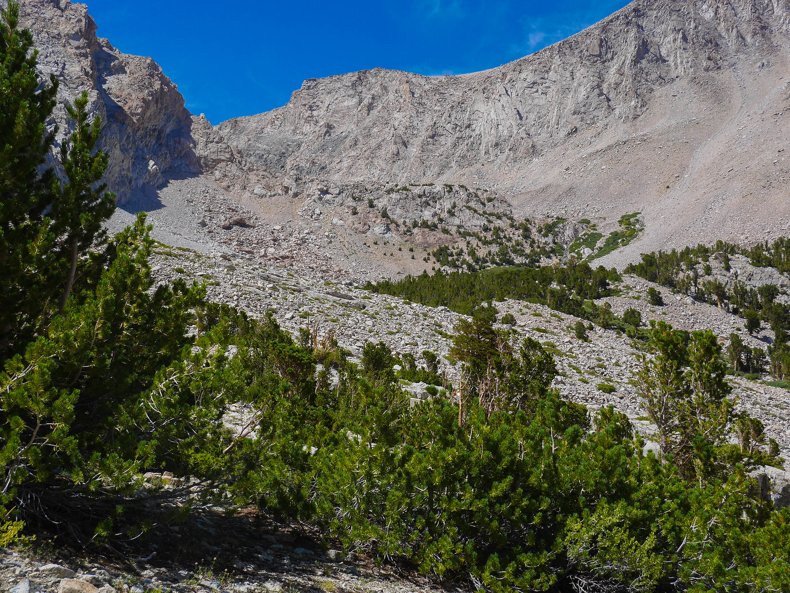
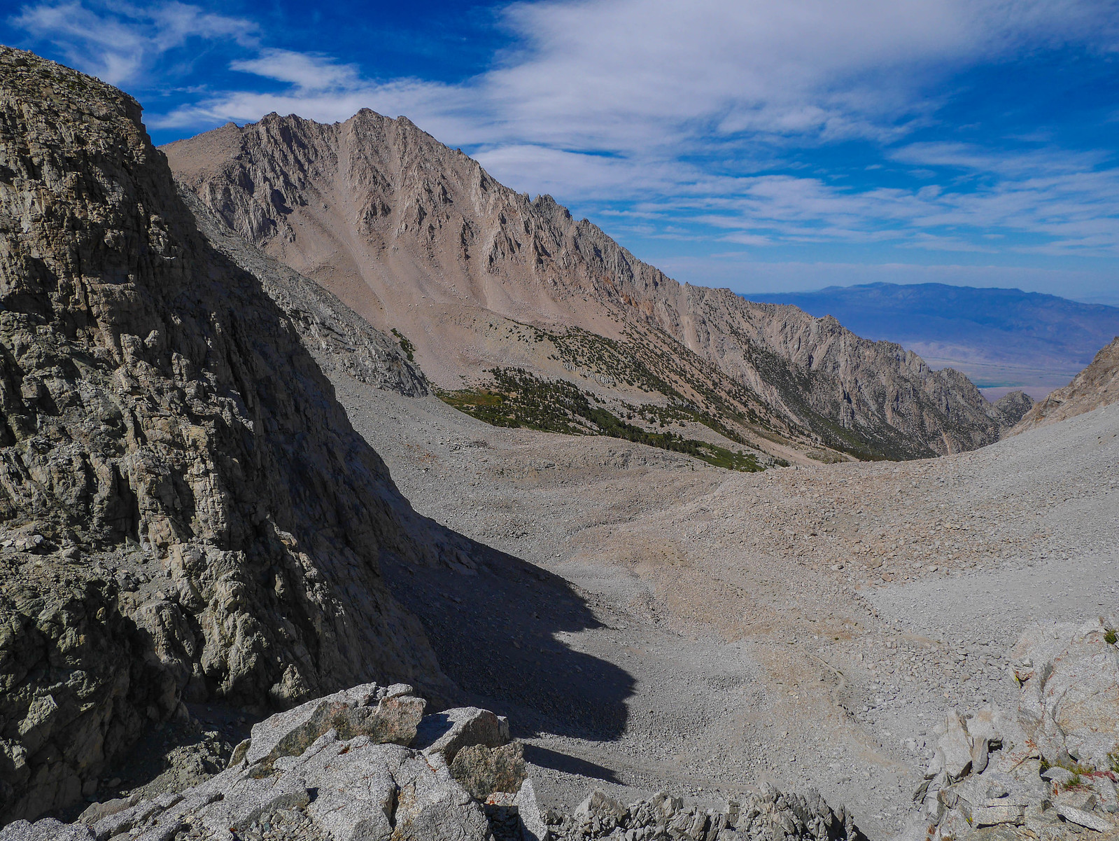
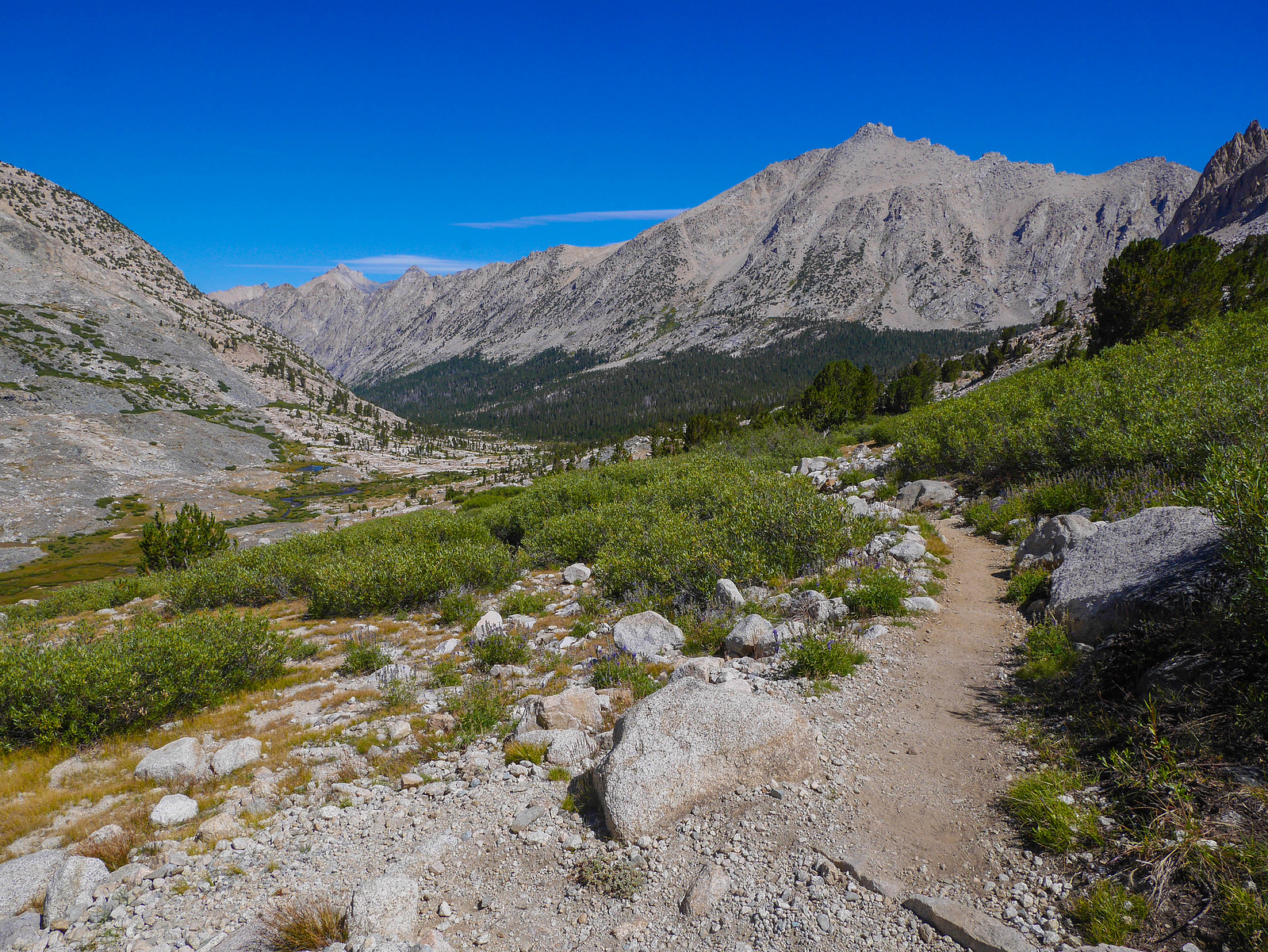
...and then meeting up with the JMT/PCT before descending into Vidette Canyon. The trail down into the canyon is relatively steep, but well-switchbacked, and has peek-a-boo views south and up towards East Vidette, Forester Pass, and Center Basin at times.
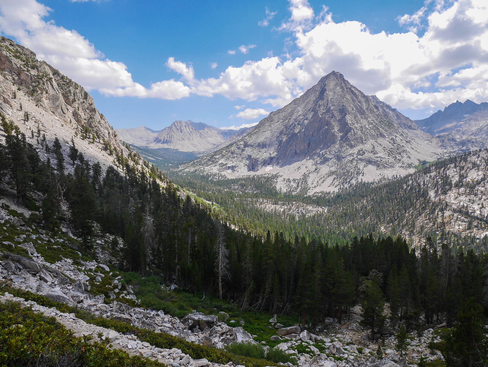
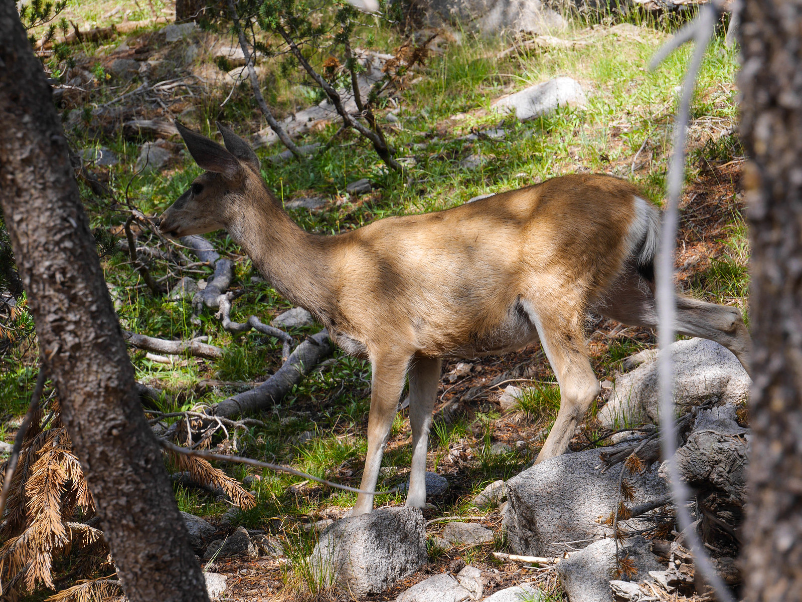
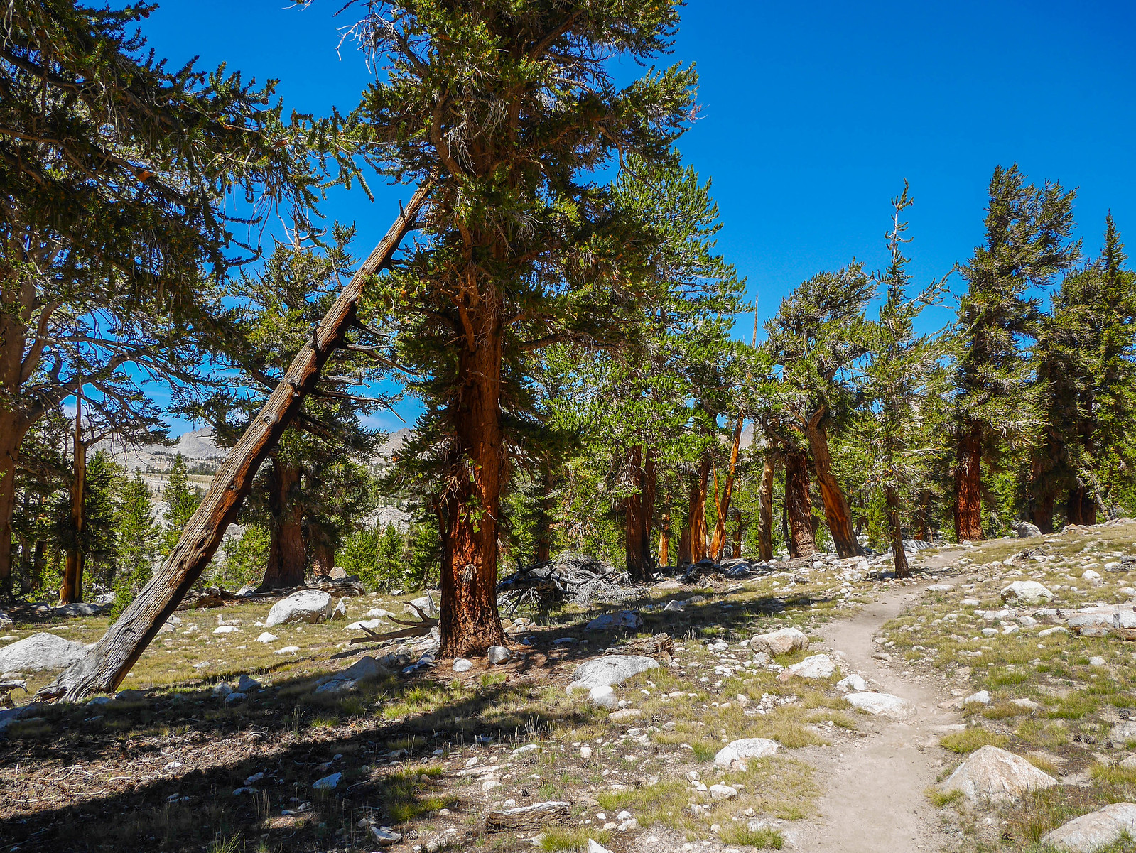
Down in the base of the canyon the trail is completely forested as it follows the upper reaches of Bubb's Creek south towards Forester Pass. I decided to hike up the canyon until I was tired, hoping to find a spot to camp where I might have both access to water and a nice view. On the way, I saw five deer. I managed to get decent pictures of two of them.
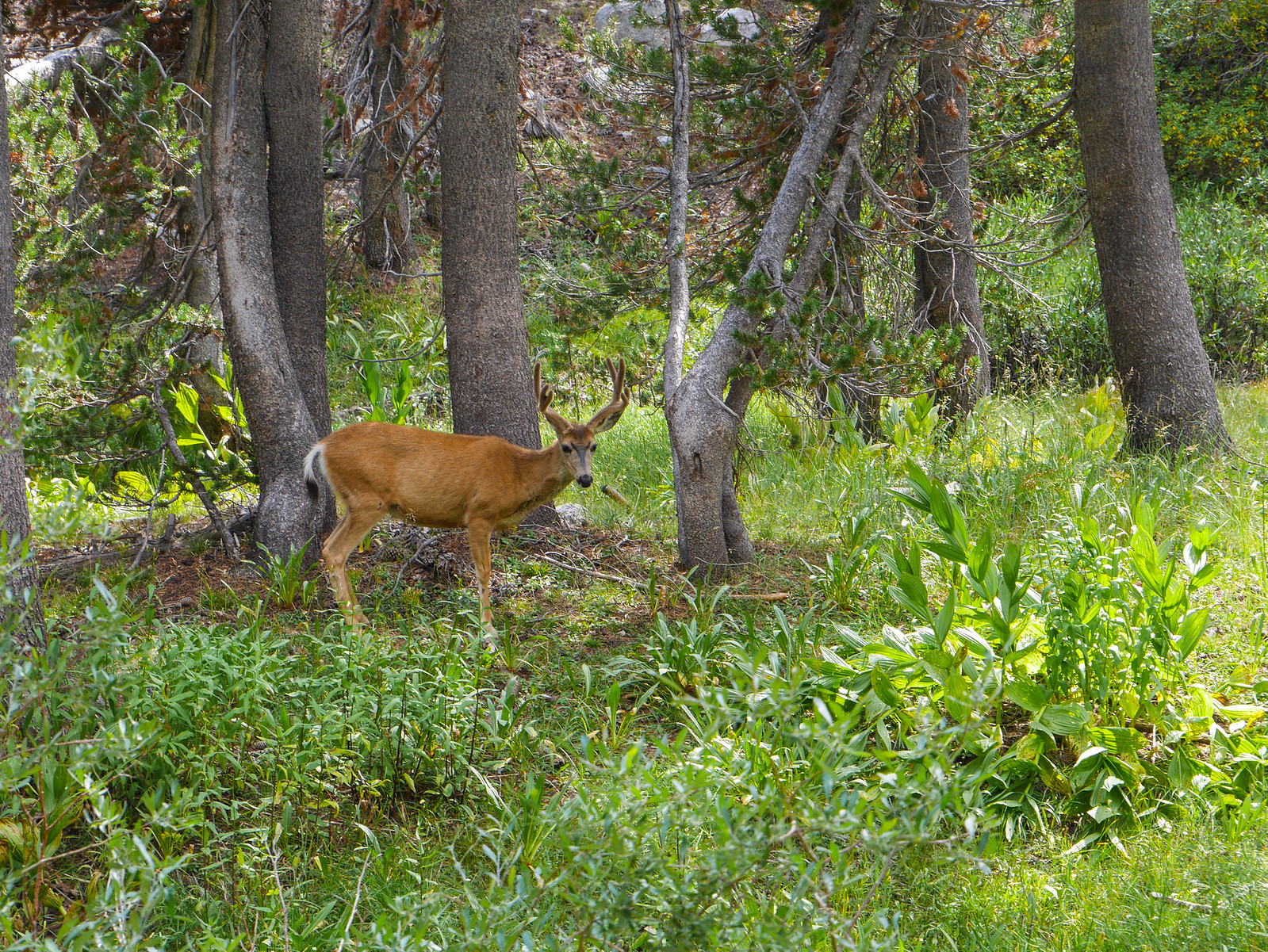
There was also this extremely large mushroom.
 [/url]
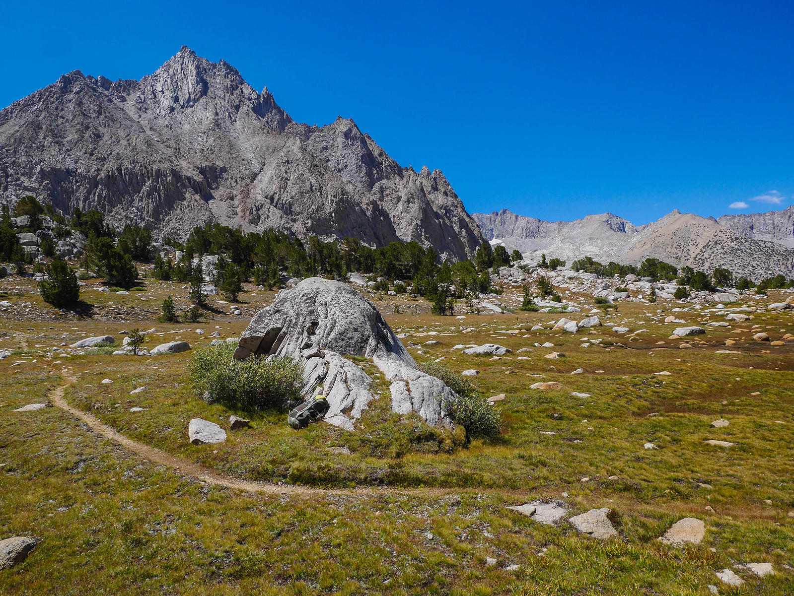
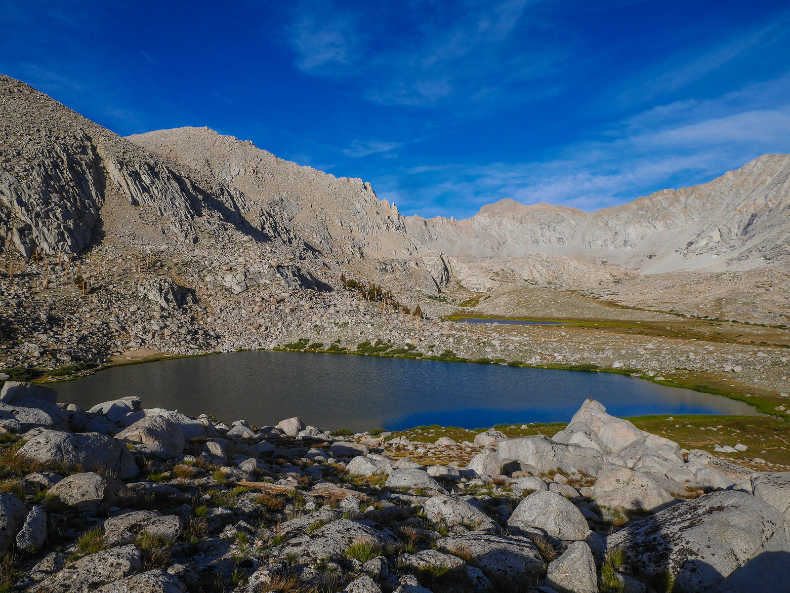
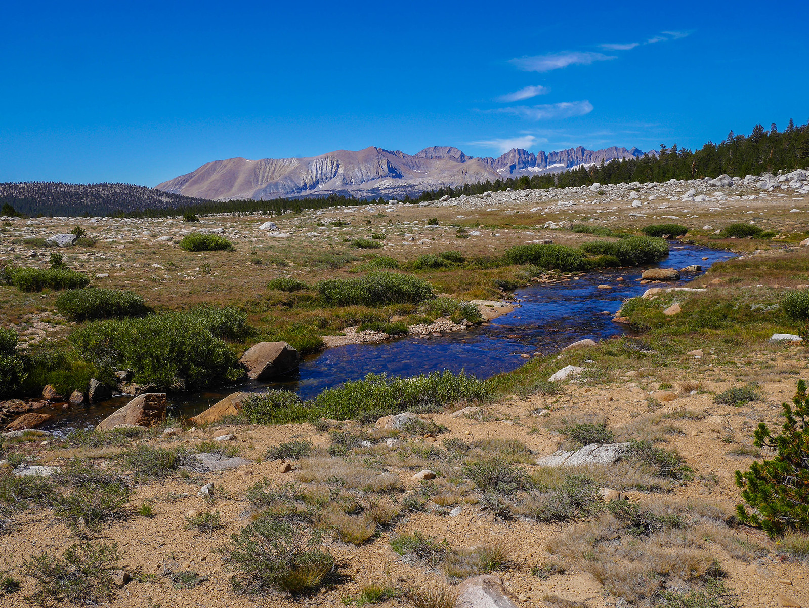
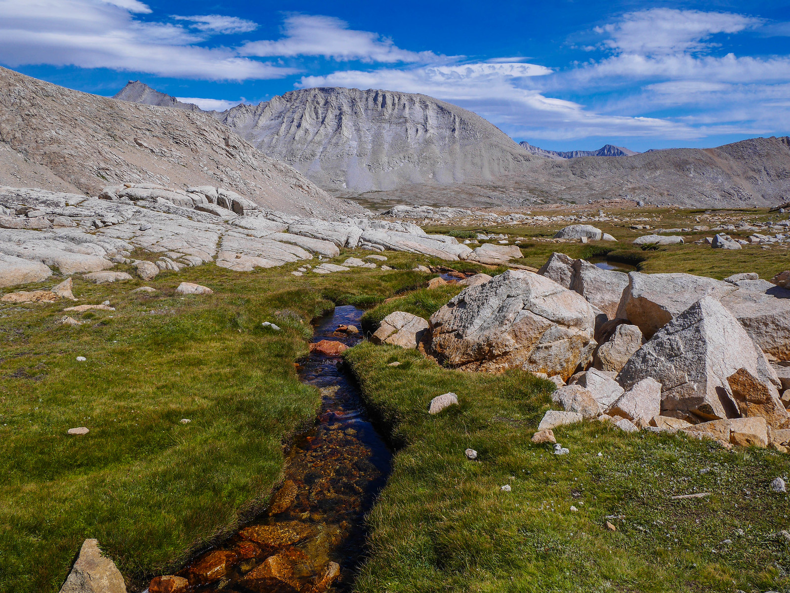
The trail is forested in the lower reaches of the canyon and then has ever widening patches of either meadows or sparse small trees and rocky terrain. I pushed on until I found a nice campsite in one of these open areas. Bubbs Creek runs the whole way down from its headwaters up below Forester Pass down through this canyon and eventually joining with the Kings River down near Roads End. My little campsite here was a few hundred feet from Bubbs Creek and I took the chance to wash up before the sun dipped behind East Spur to the west.
When washing up in the backcountry, best practice is to haul water away from the source and give yourself a wipe down over dirt. Washing your face / arms / whatever directly in the stream or lake pollutes the water with sunscreen and bugspray and whatever else is on your skin. Same goes for laundry. And never ever ever put any kind of soap in a water source! Even the "biodegradable" ones need microorganisms in the soil to break them down. Please practice Leave No Trace principles. It's especially important in high-traffic areas like the JMT/PCT corridor.
Anyway, sanitation lecture over, for now
Day 2
Upper Vidette Canyon to Junction Pass (old JMT)
5 miles XC, 0.5 miles on trail, +3,100ft/-200ft
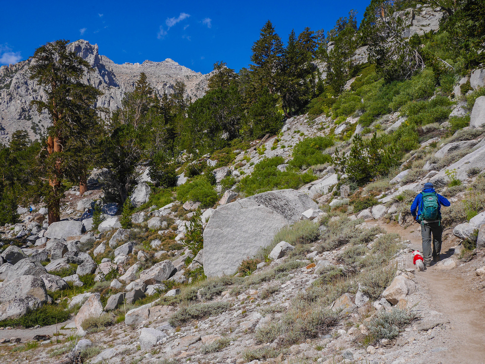
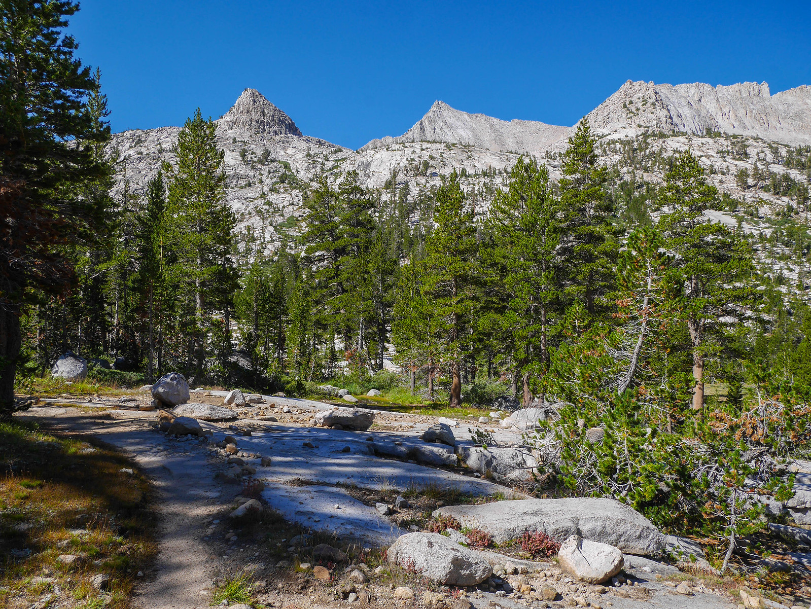
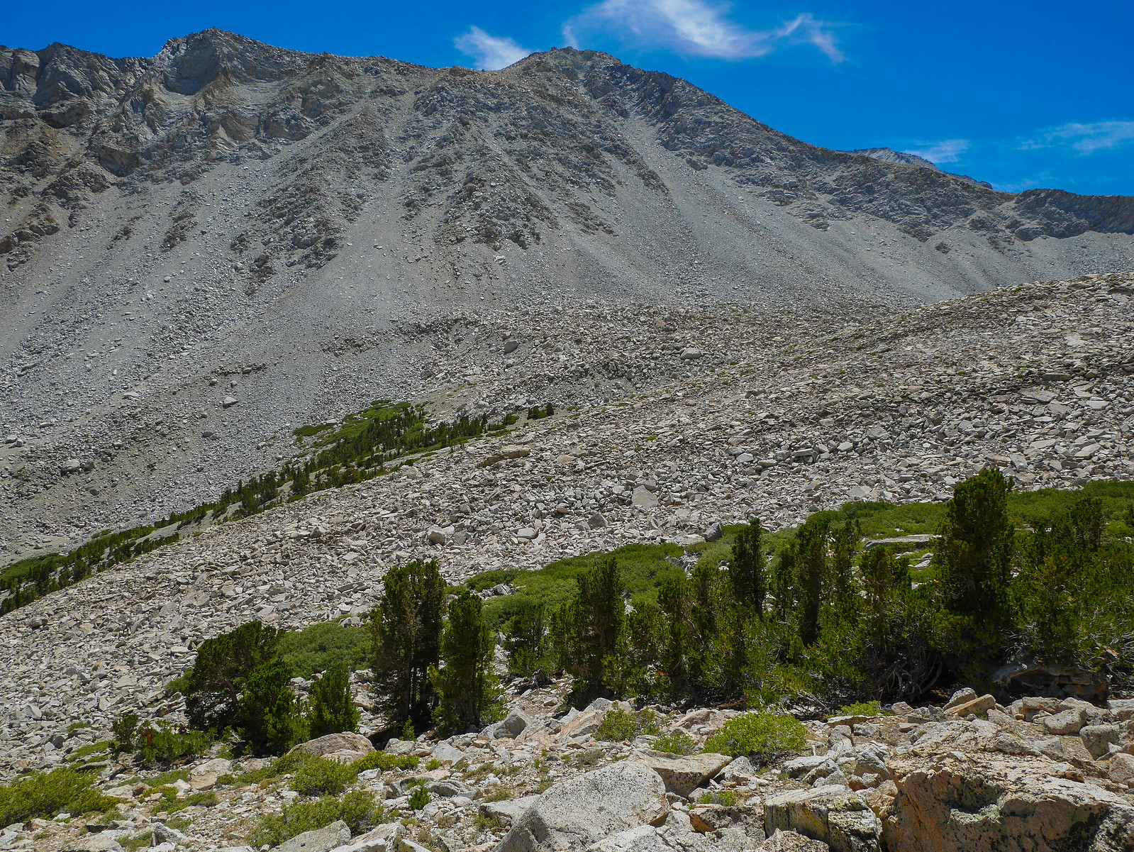
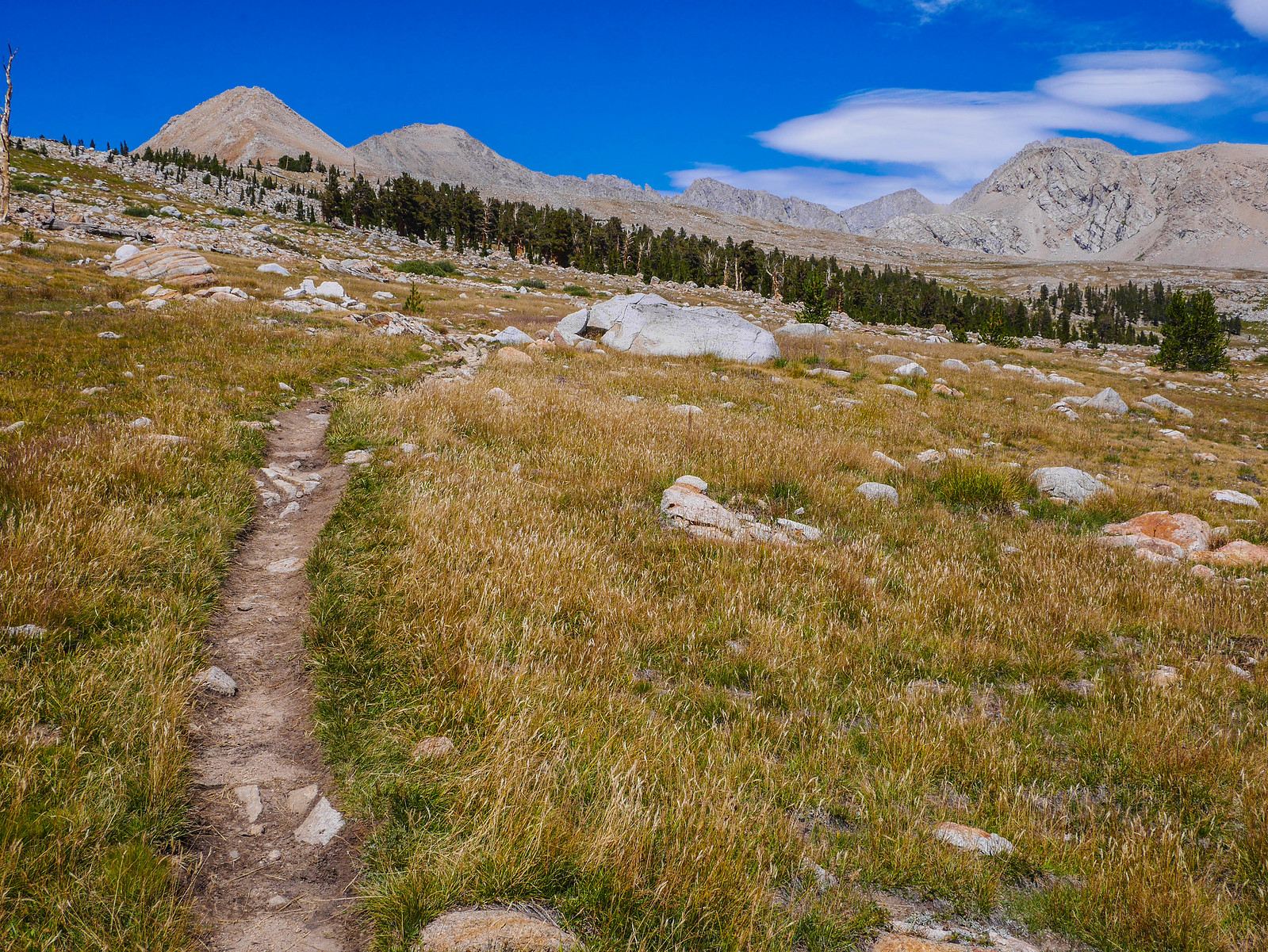
It was cold in the canyon and I didn't want to get up until the sun warmed my tent, so I had a medium-late start this day, not hitting the trail until about 10am. The trail continues to climb alongside Bubbs Creek, following the same pattern of trees then fewer trees, though the trees get smaller and smaller as altitude increases. My first goal this morning was to find the unmaintained old JMT that would lead off to the left (east) and up into Center Basin. My route had me going up over Junction Pass, then down to meet the Shepherd's Pass trail, then up again over Shepherd's Pass, then Rockwell Pass and into Wright's Basin. I didn't know how long all this would take me, so I thought this day I would just see how far I got, planning to probably camp at one of the high lakes before Junction Pass.
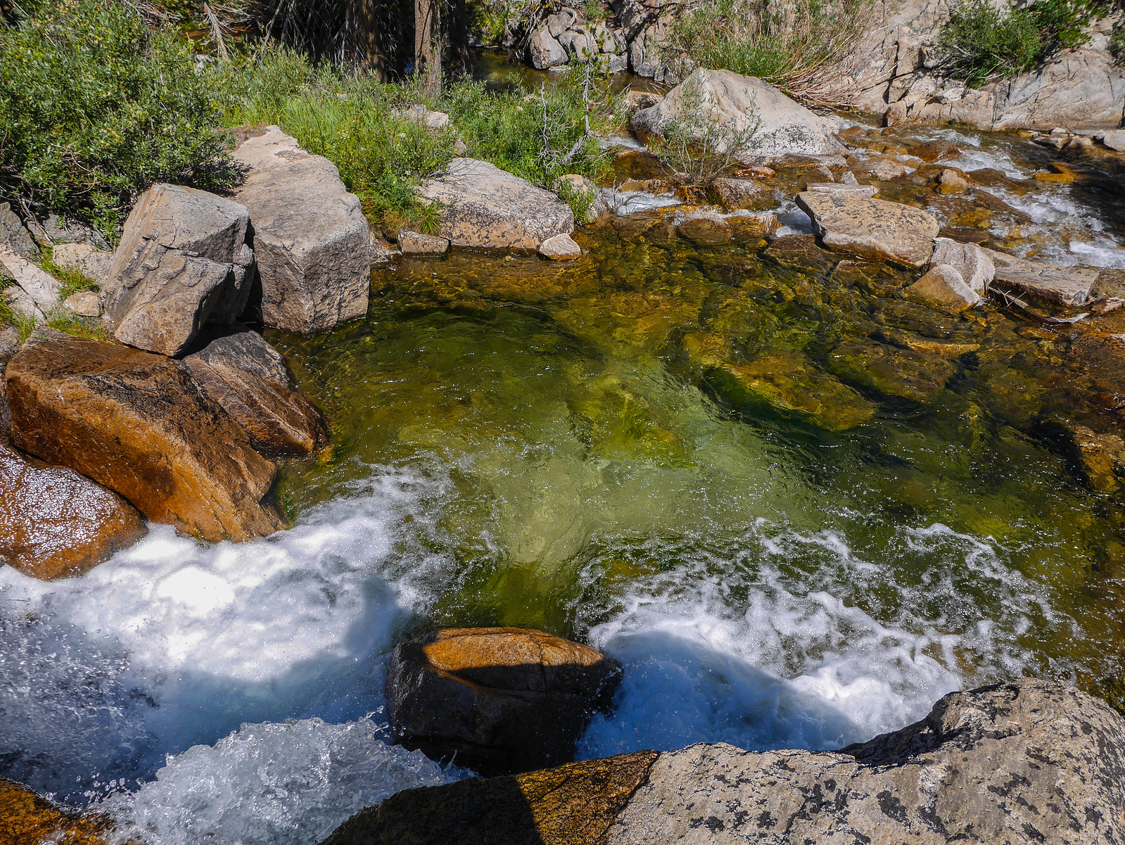
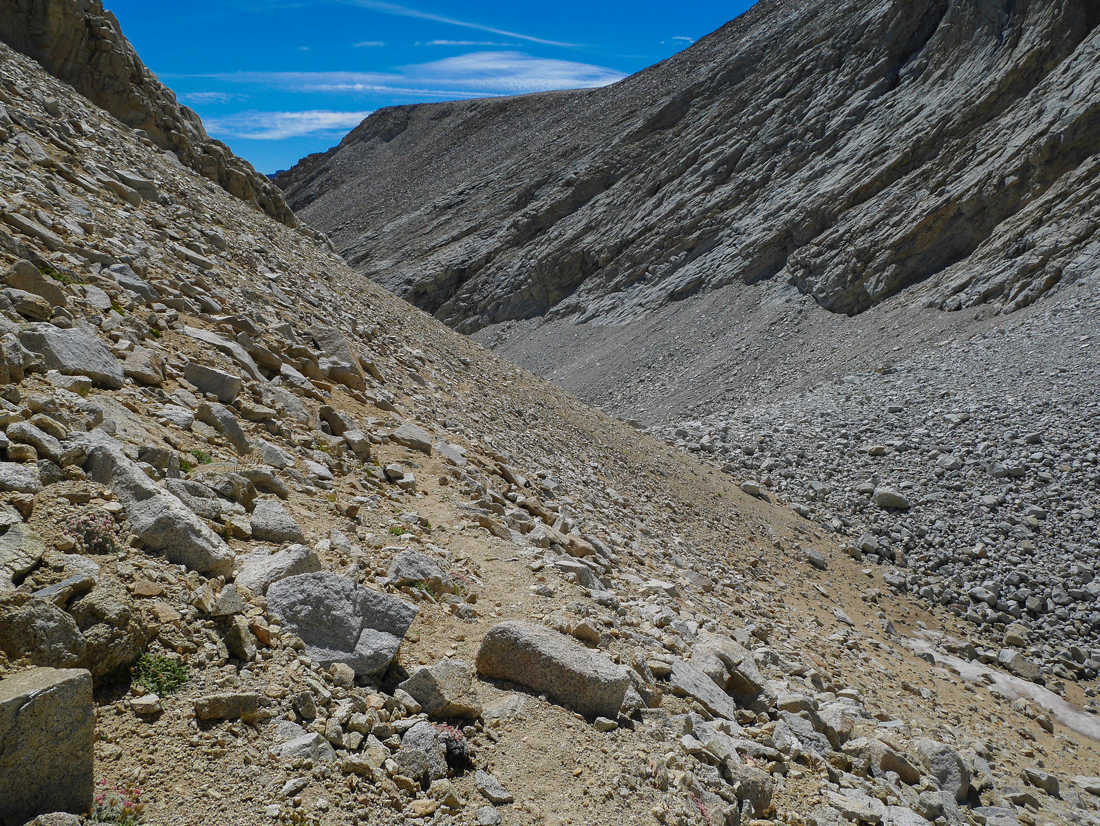
The trail has Bubbs Creek on its west (right) through this entire stretch and I kept an eye out to the east (right) for potential spur trails, making note of my progress on my map and trying to gauge where along the forested slope to the southeast the trail might ascend into Center Basin. Just before I made my first jaunt up that way, I found an absolutely amazing swimming hole in Bubbs Creek. Noted for next time!
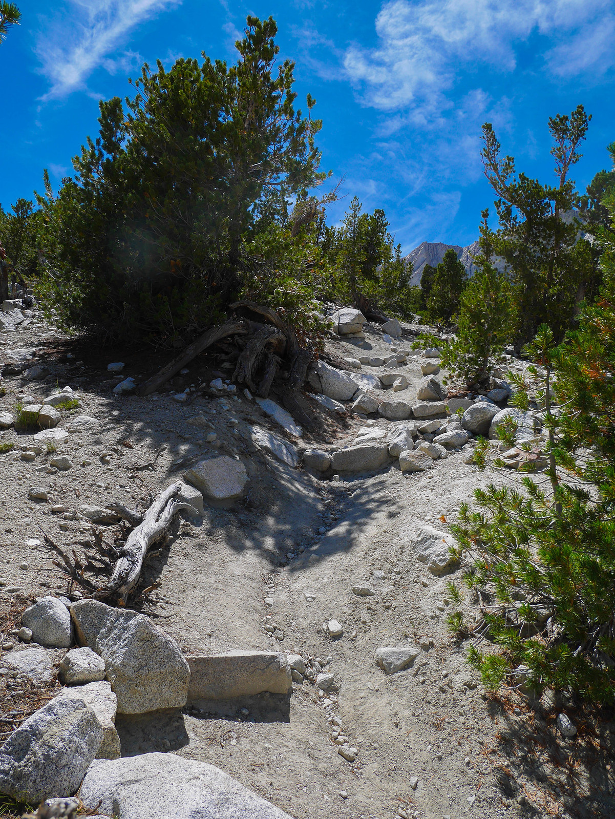
I left the trail in an open area of granite slabs about where I thought the trail should be. I headed east and up the slope, but the use trail I'd followed turned out to just lead to a campsite. I poked around a bit, turning back soutwest to see if I could come across the trail. I got super excited when I saw a trail! Oh man that wasn't so hard! But when I got down closer it was immediately obvious that this was the regular new JMT. But just then I looked up to the left and spotted the old trail. Salvation! I climbed along the old trail, somewhat steeply at first. In this initial section I heard a few hikers chatting as they descended. They turned out to be Turtleggjp from High Sierra Topix and his mom. It's always cool to run into people from there out in the wilds.
After climbing for a bit, the trail levels off. It's in really good shape and very easy to follow. You can even see some of the old runoff diverting stone construction here and there.
One final steep push after this last flat bit and I arrived at an open meadow in Center Basin proper around 11:45am.
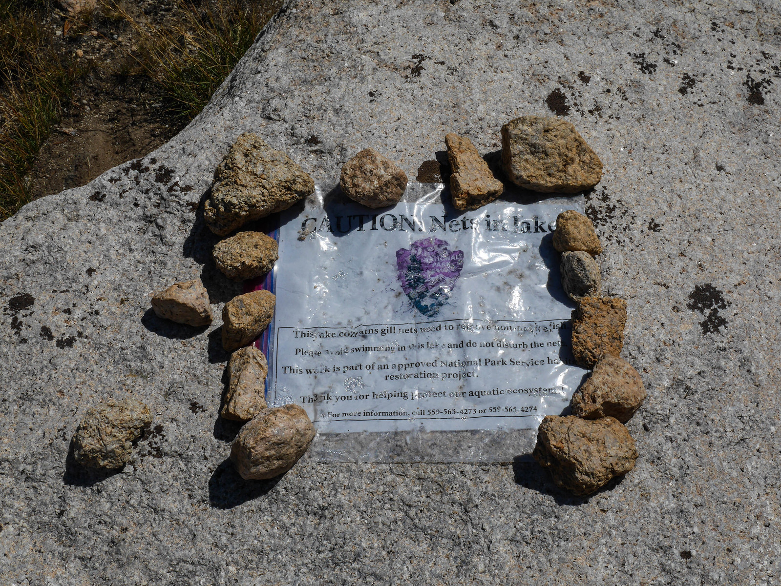
There was a notice about gill nets in the lakes up here. The NPS has been undertaking a restoration project in these lakes to rid them of fish and restore the native amphibian population. Read more about that here!
The trail meanders around the left (east) of the first of these tarns and then heads south over the small rise beyond the tarns. I took a break on the far shore and ate a snack. I saw hundreds of little tadpoles in the marshy areas, but they always darted away before I could get any photos. I'm always shocked at how attuned to land-life presence those little guys are! For some reason my brain is just like NOPE THEY DEFINITELY CANNOT SEE ABOVE WATER even though this is very obviously wrong, and would be awful from an evolutionary perspective.
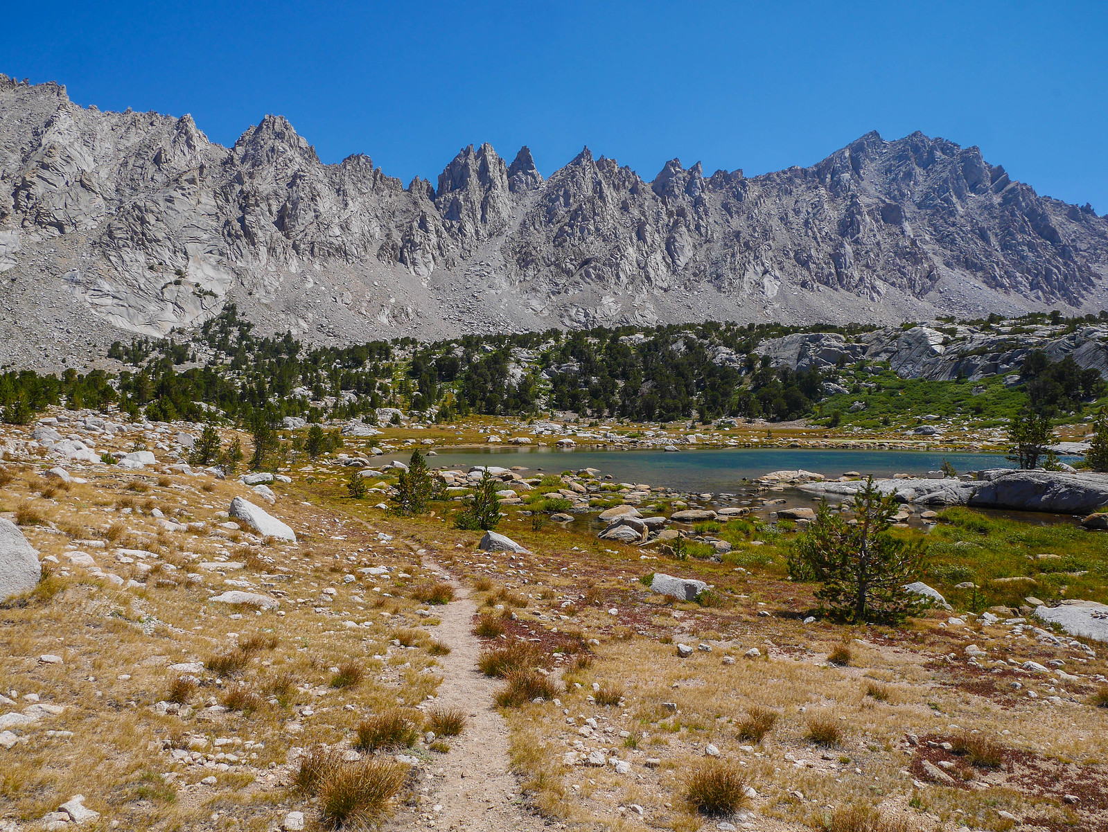
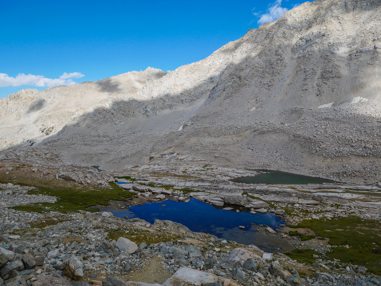
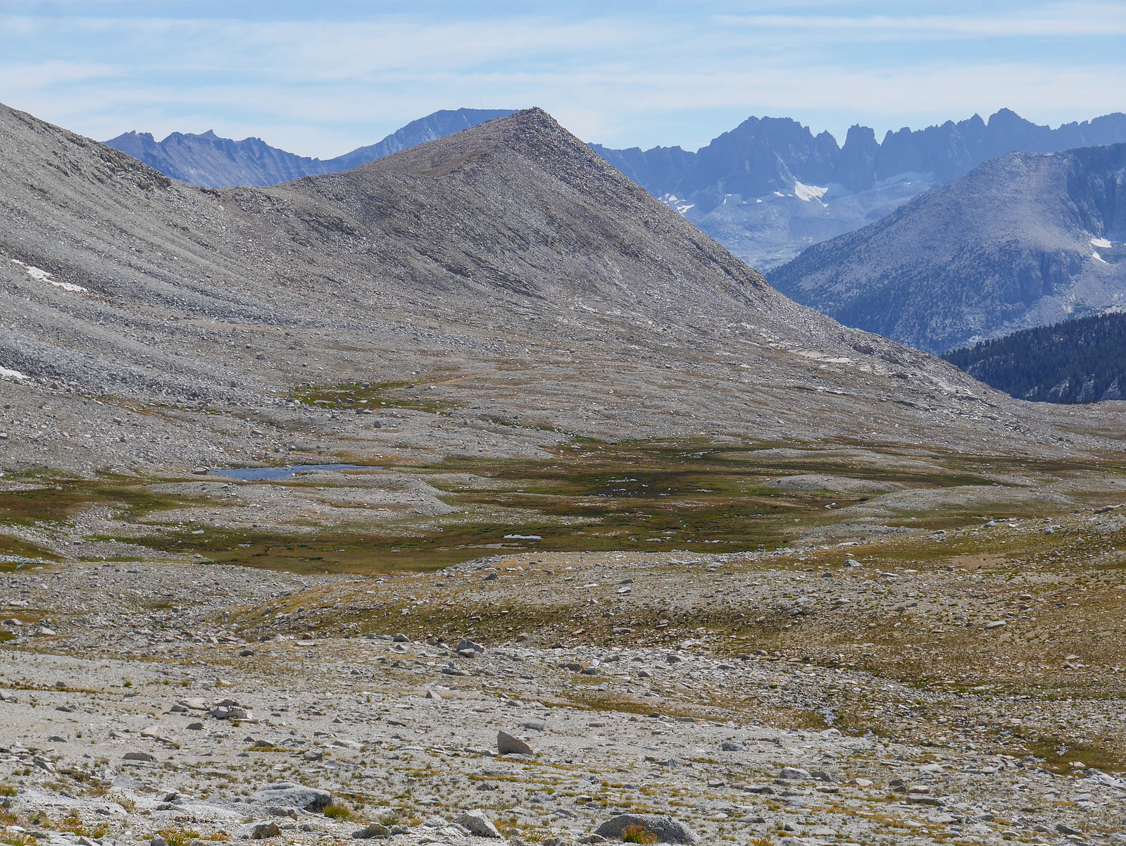
After a short break on the rock in the photo above, I climbed the last 50 or so vertical feet to Center Basin proper, where the trail curves around the east side of Golden Bear Lake (also part of the restoration project). I'd read that the trail is easy to follow for a while, but then peters out. I knew I'd be heading up to the head of the lake, then turning south (right in the photo below) somehow through that green area to ascend the canyon to get to Junction Pass.
What I'd read was accurate. I lost the trail at the head of Golden Bear Lake. No matter, the going was easy and I simply picked my way south and higher through rocky open grassy areas, trying to avoid willows and trying not to have to cross the many meandering tiny branches of Bubbs Creek. I always feel a bit like John Muir when on a journey like this. Theres a quote, which I can't find right now, from one of his books that waxes poetic about following a river up and up to its source amidst rocky alpine peaks, where it is born just a trickle, where you can step across it without jumping.
From across these many little baby Bubbs Creeks, I spotted where I thought the old trail probably ascended to reach the basin of the higher lakes. I thought I could see a faint use trail at the bottom of the steep cliffs on the right in the photo below, and thought I could zig-zag up the granite slabs center-left in case that was my imagination, so I headed across the valley.
Indeed, the remnants of the old JMT hugs the base of those steep cliffs and brings you right up into the lake basin.
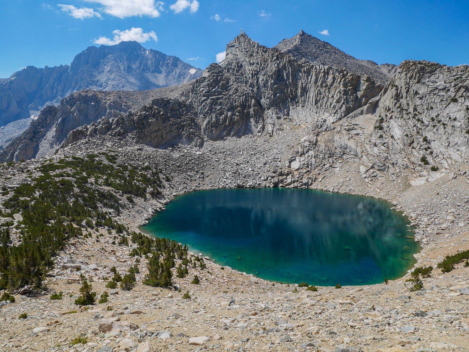
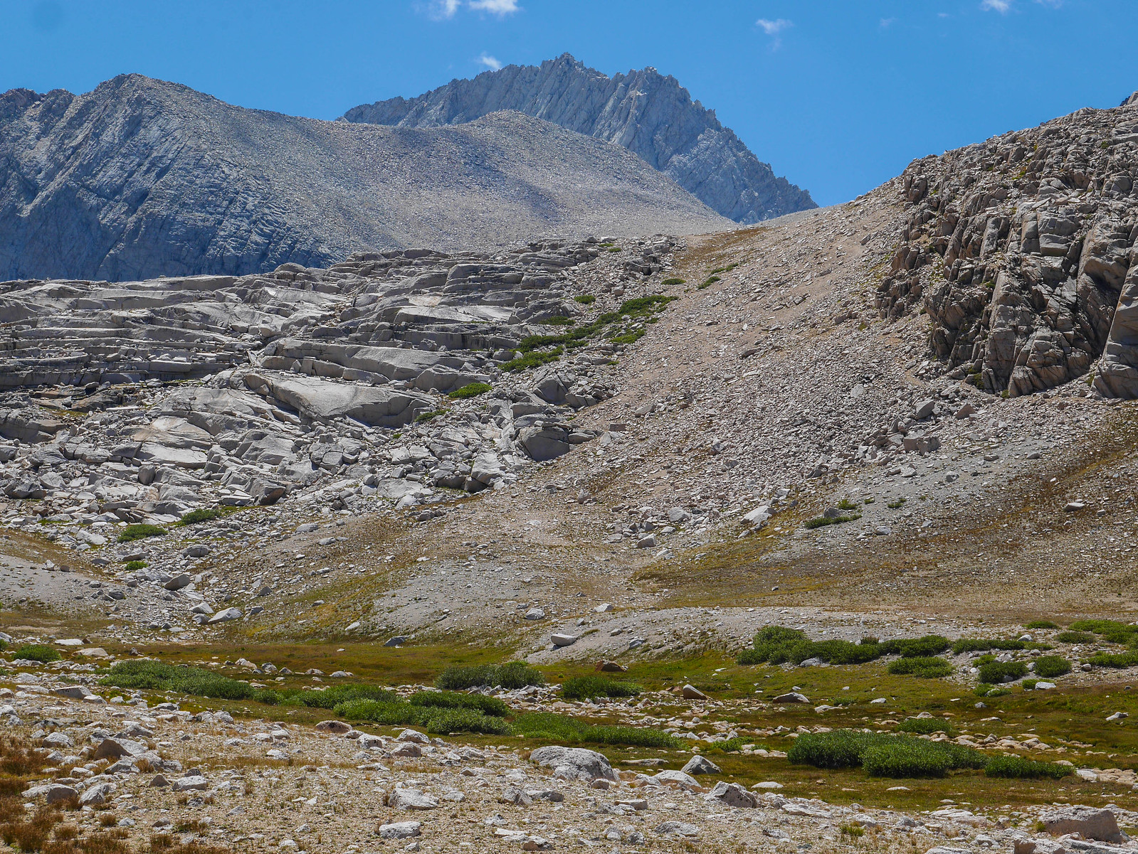
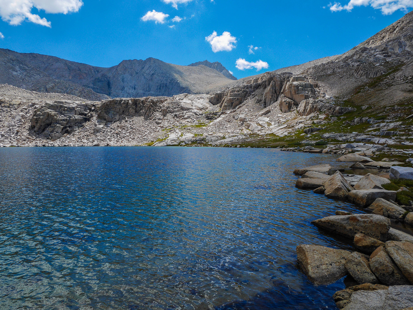
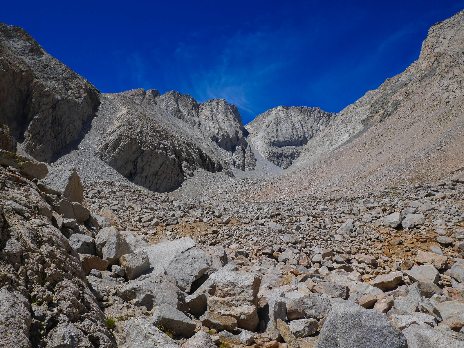
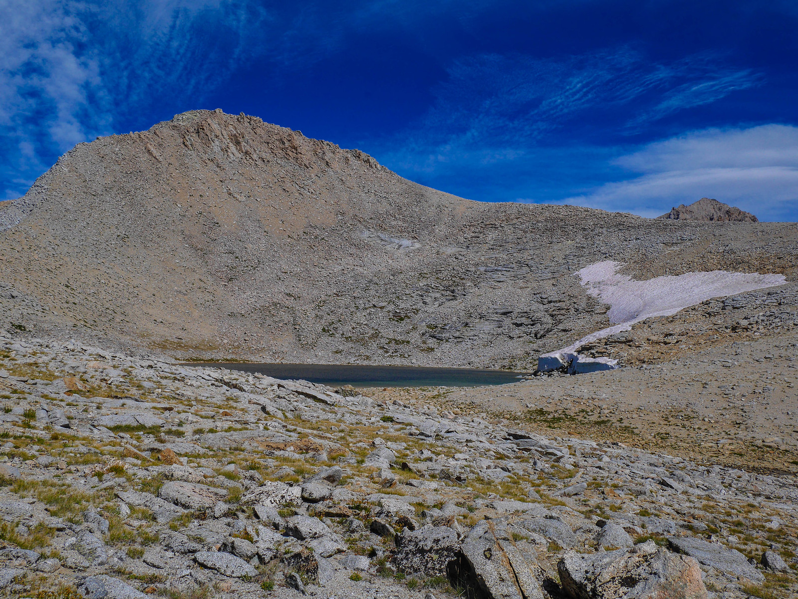
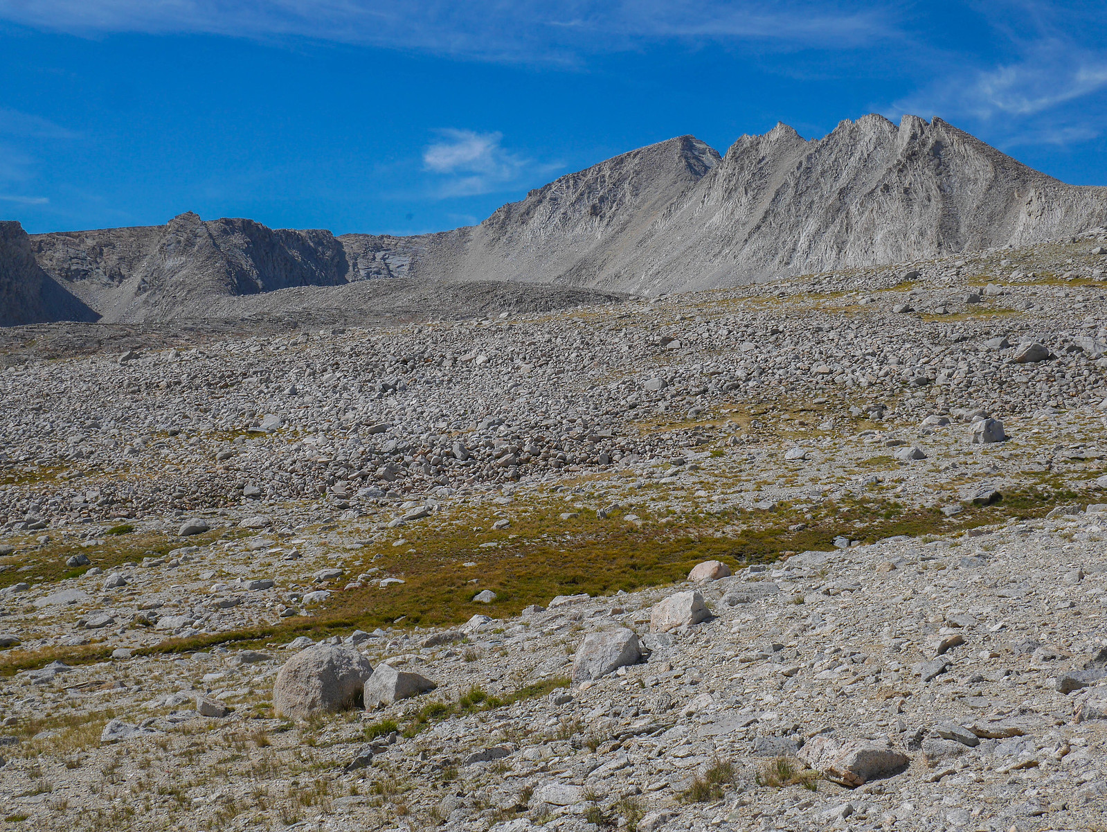
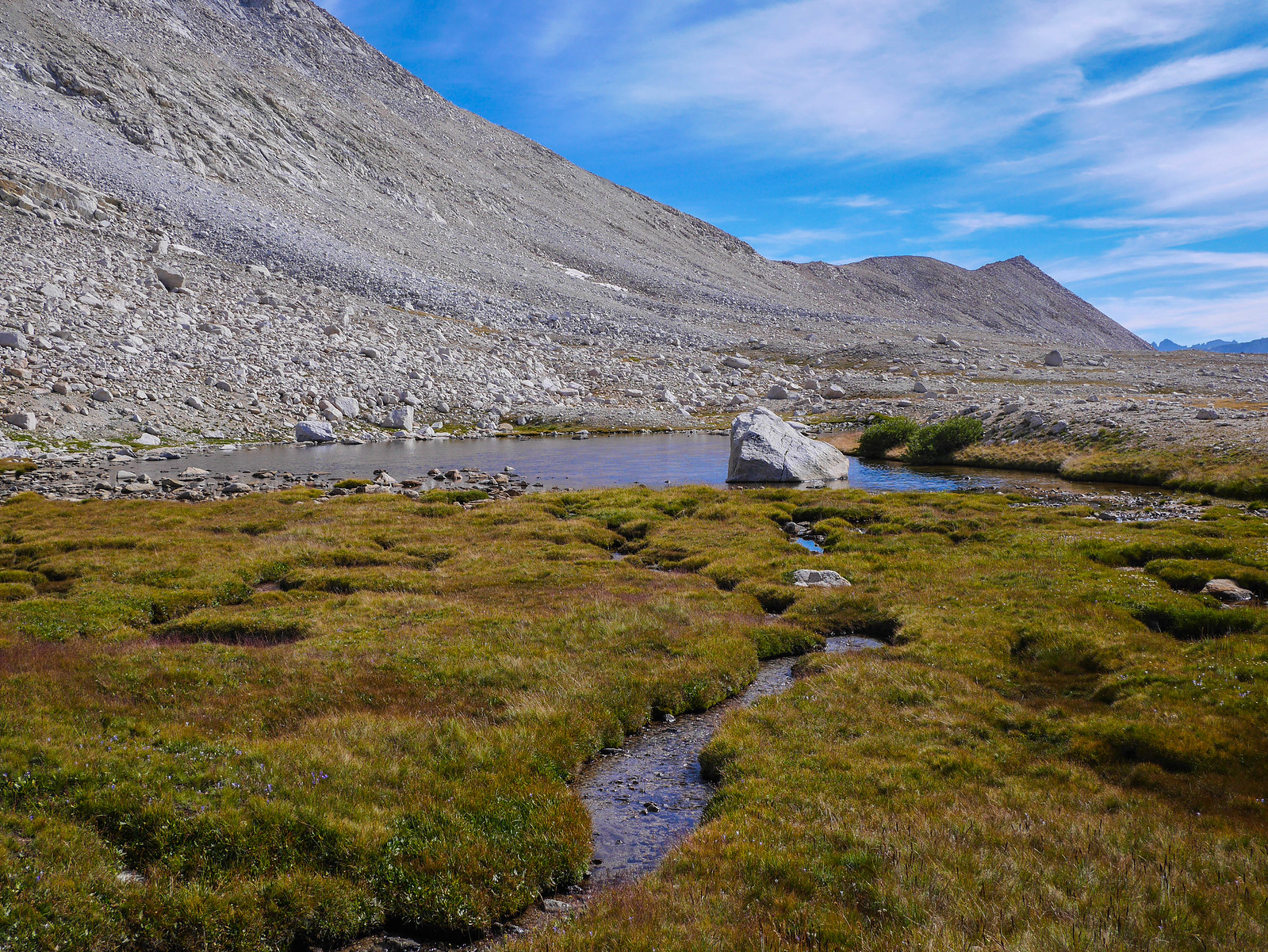
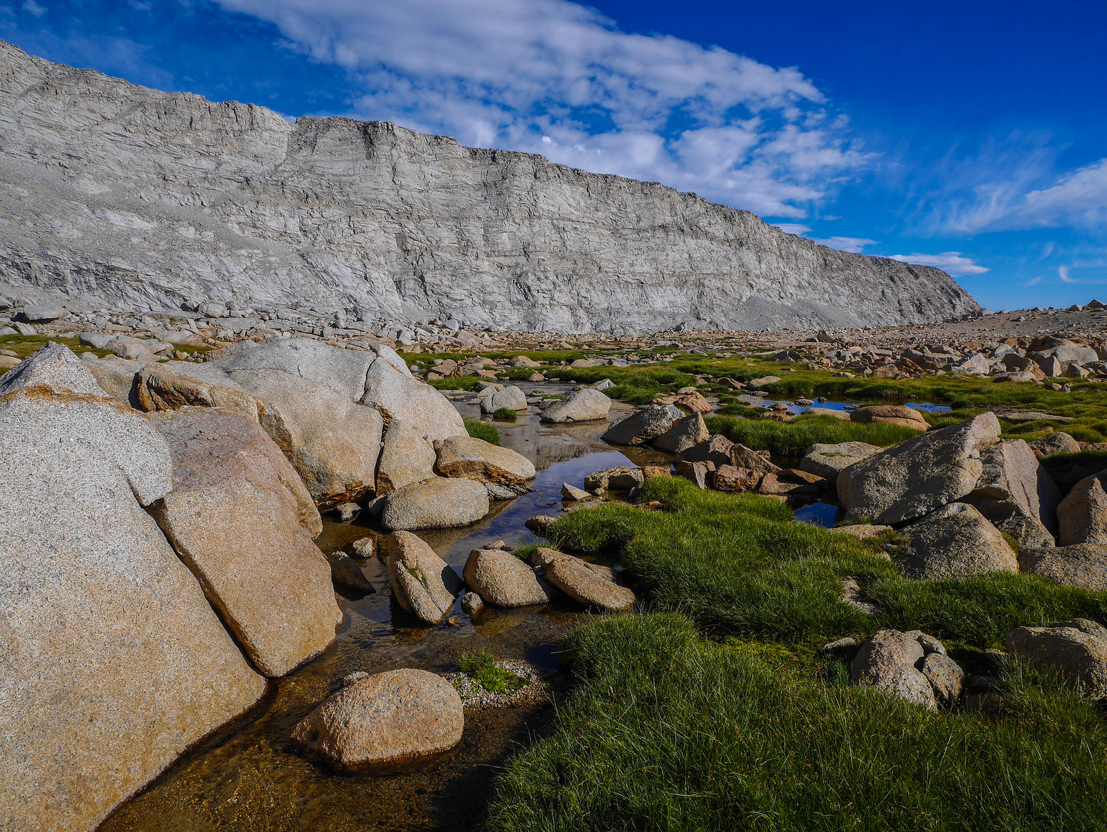
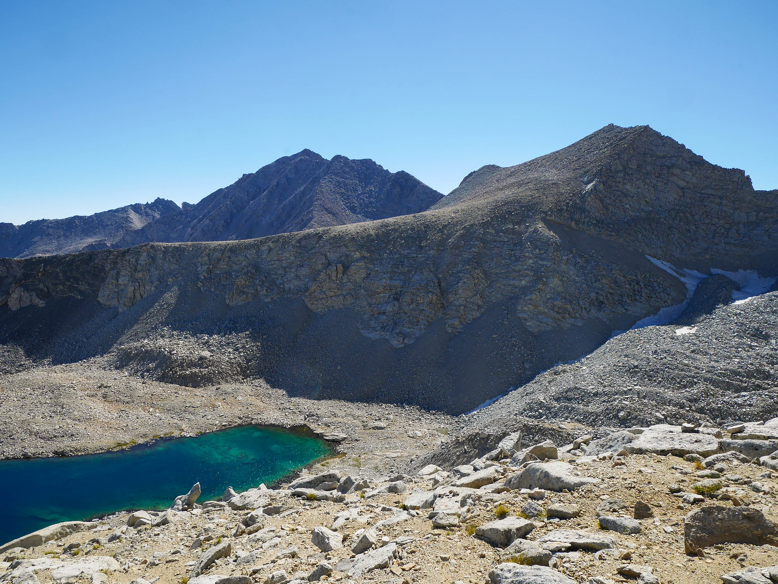
I stopped for a break at the large lower lake in this basin (Lake 11,773), which I arrived at around 1:45pm. I studied Junction Pass from afar, trying to decide what my game plan would be. The pass is the low point on the smooth-looking-from-here-but-surely-covered-in-talus slope in the center of the ridgeline and the old trail climbs the right (west) side of the lake, above the green and then through the talus the small band of talus above the formidable cliffs center-right in the photo below.
I hemmed and hawed about what to do for a couple of hours. On the one hand, it was very beautiful where I was. On the other hand, I hadn't hiked that far yet today and if I stopped here, tomorrow would be awful since I'd hoped to make it all the way to Wrights Basin, which would involve tackling not only Junction Pass, but also Shepherds (trailed, but steep) and Rockwell (cross-country).
I wondered if I could find a flat spot to camp on the flat saddle above the cliff band but below the pass. I knew from what I'd read that I was unlikely to find any semblance of reasonable campsites south of Junction Pass until I'd descended all the way down nearly to the Shepherds Pass trail, and I knew I didn't have it in me to tackle that beast this afternoon. So, more hemming and hawing was had. I took a short nap. You know, to mull it over.
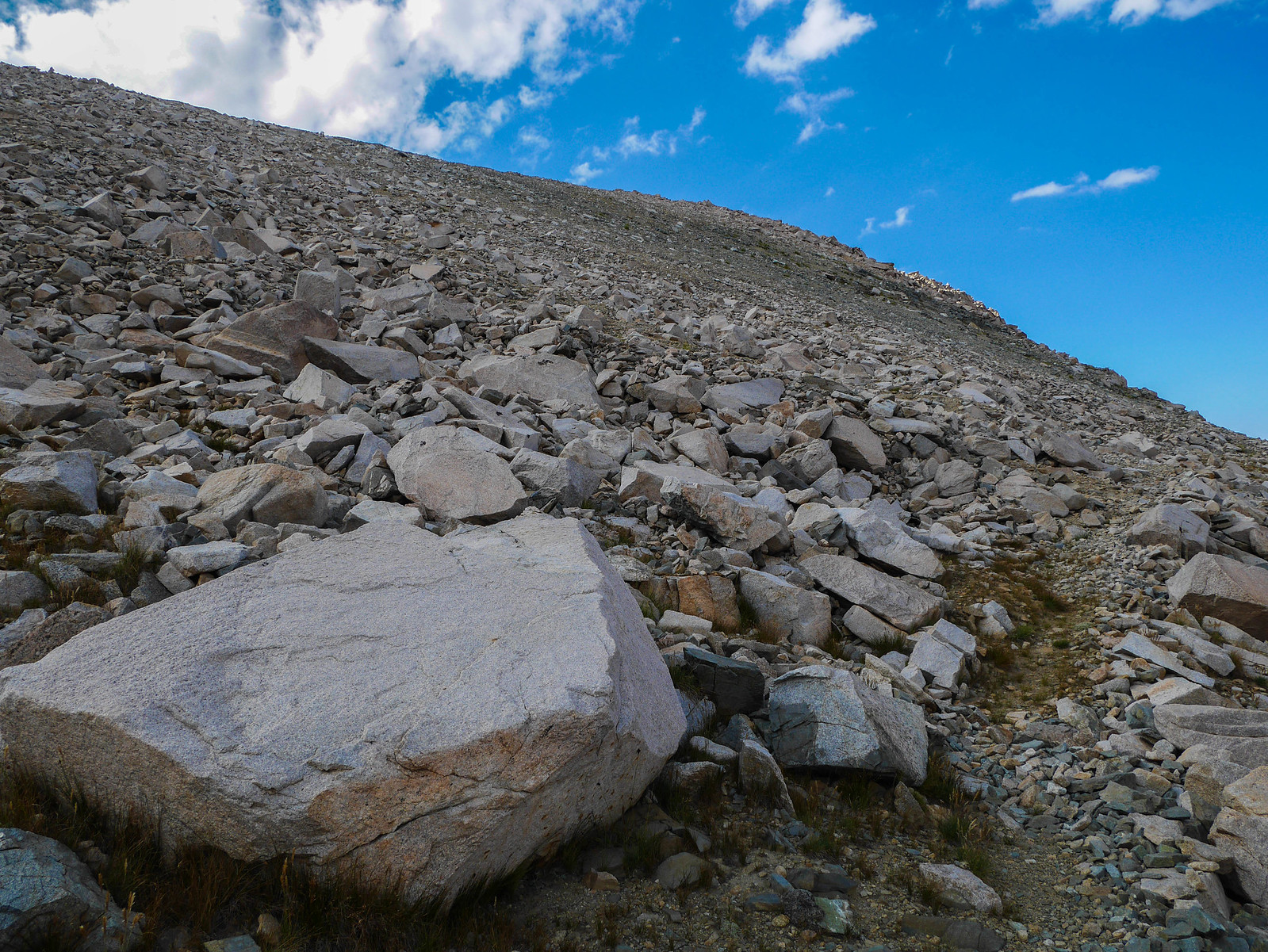
And then around 3:45pm I said to myself YOU GOT THIS and loaded up all my water capacity (3 liters) and started up the old trail. It climbs steeply and before long I was well above the lake where I'd taken my break.
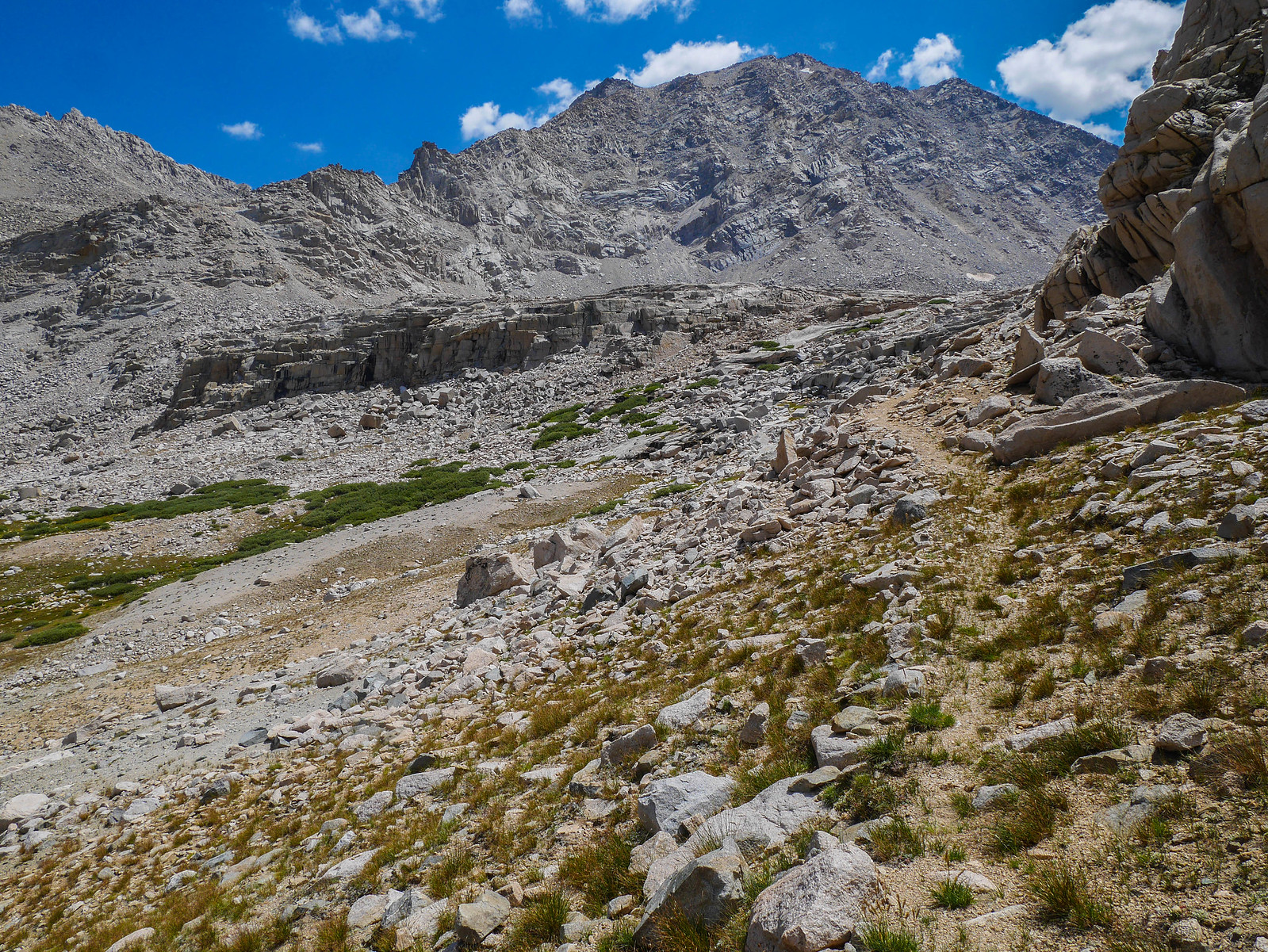
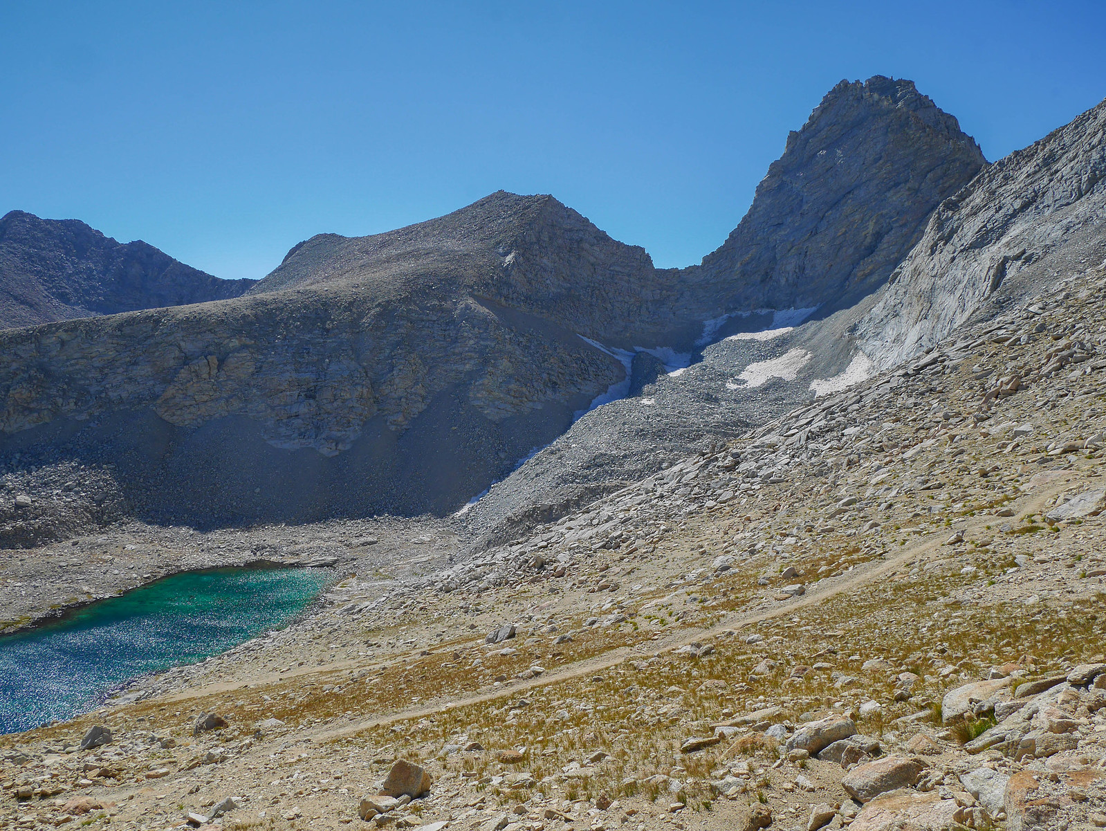
A bit higher up I passed a few tarns, which I had seen on the map, and I was glad I'd decided to fill up all my water because getting down to get water at these would have made me lose quite a bit of elevation. I passed a couple spots that appeared to be seasonal streams, so perhaps earlier in the season you could get water from those, but all but one were dry when I passed, and the one that was flowing had just a trickle.
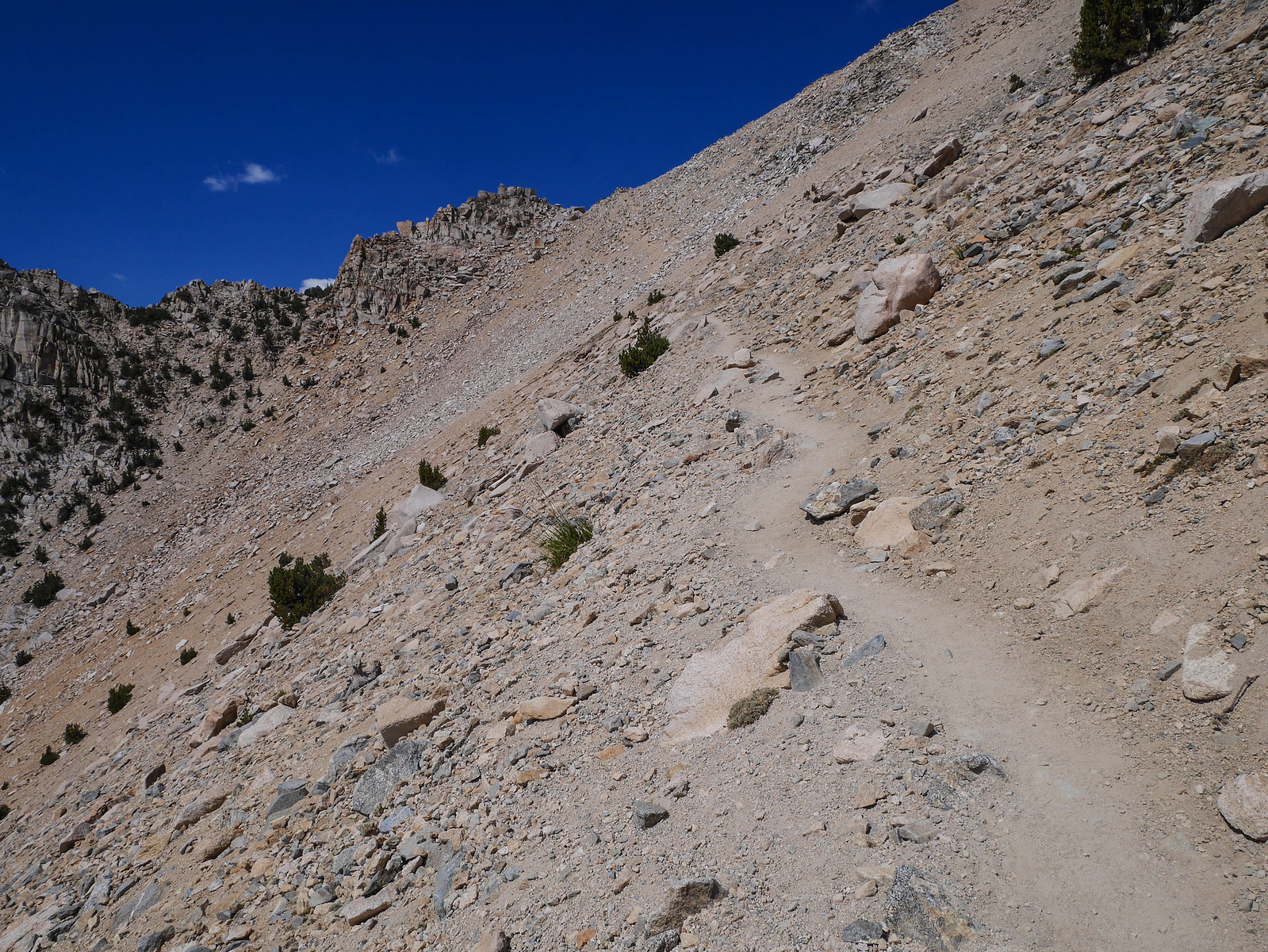
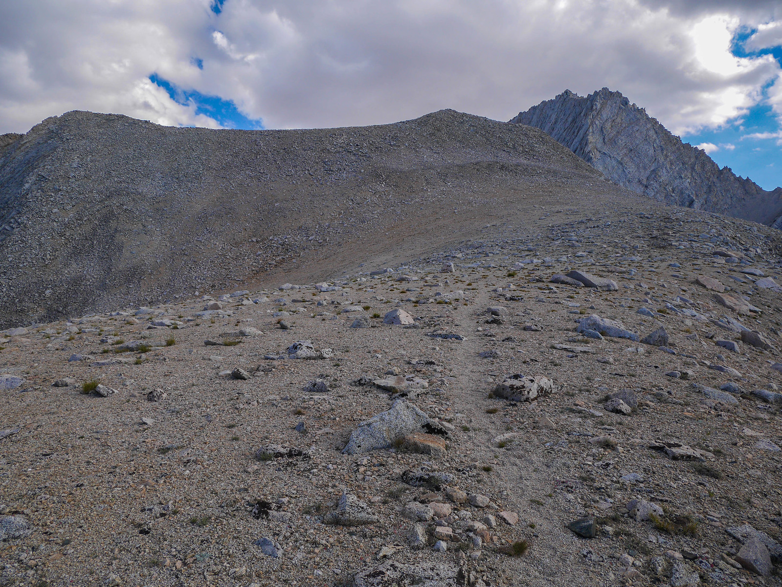
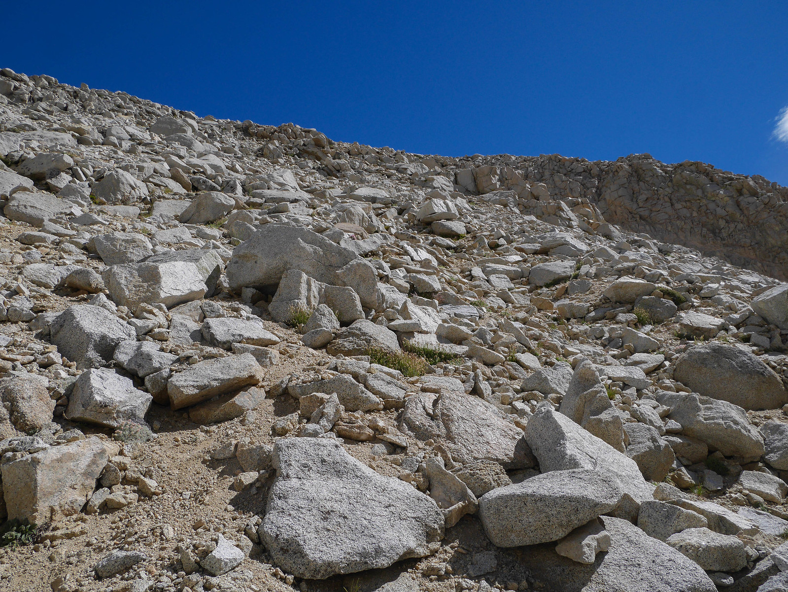
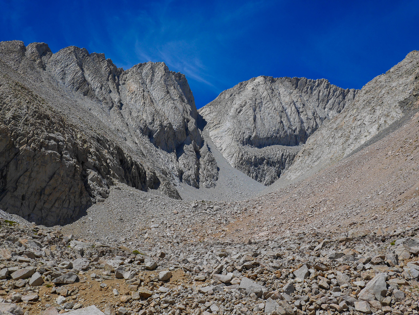
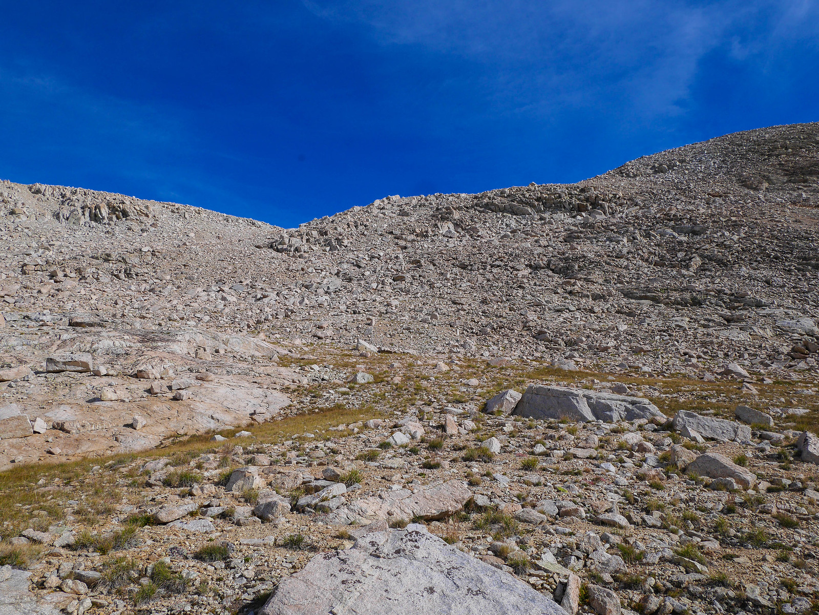
The old JMT switches back a few times climbing the talus slope up to the saddle. You know the one, where I thought I might be able to find a flat spot to camp?
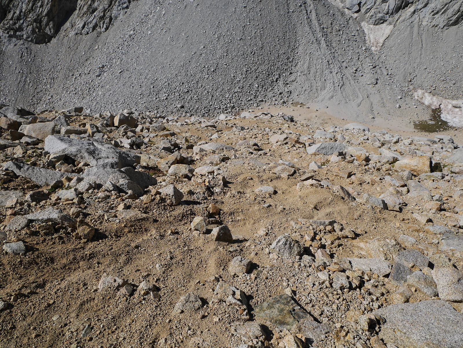
lol nope. The foreground of this shot shows what the whole saddle area was like. It did have quite the view back down Bubbs Creek / Vidette Canyon though! Oh, I should also mention that the CalTopo I linked above and most maps are very, very wrong about where the old JMT actually goes, and where Junction Pass actually is. The CalTopo shows the trail going much closer to the highest lake below Junction Pass. This isn't true at all. The trail climbs straight up to the saddle, about 500 feet above this last lake.
I guess I could have pitched my tent on the sandy saddle part somewhere here, but it was a bit windy and I thought maybe it would get worse overnight or in the morning. There wasn't any sort of shelter to be had anywhere. So. I decided to just push on up to Junction Pass and hope for the best. I'd seen some photos of people on top in my research of this route and it looked like I might be able to find a flat spot behind a rock somewhere. I know it looks like nothing in this photo but the saddle is still 500 feet below the pass proper. And this being the end of the 2nd day of my trip with my pack heavy with several days of food plus carrying 3 liters of water, I thought it might as well have been a million miles.
As I headed up the final stretch towards Junction Pass, I spotted some sort of raptor (osprey maybe?) coasting along the sheer cliff faces.
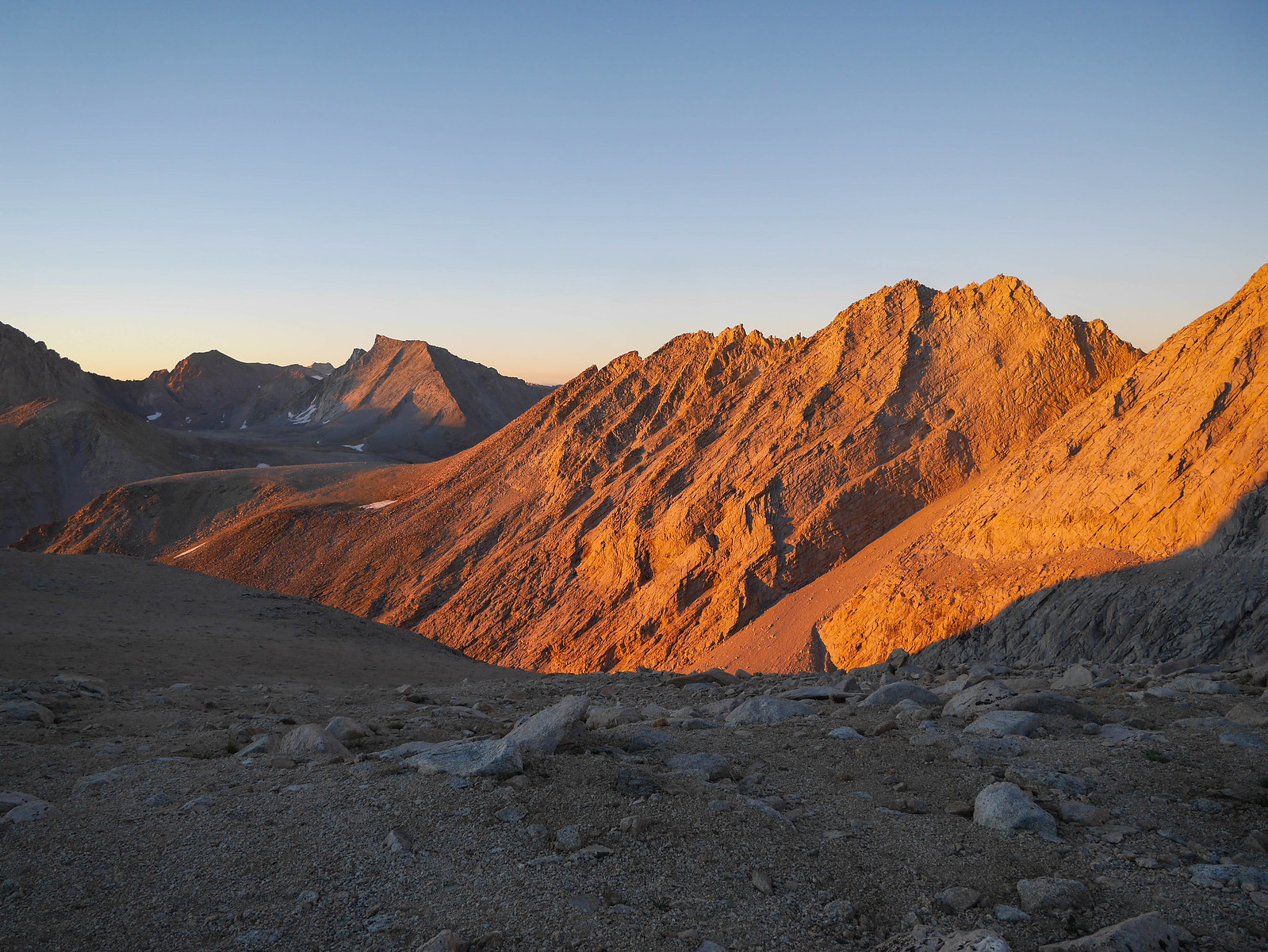
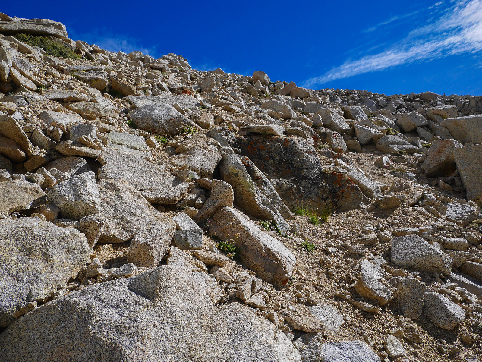
The old JMT is very well-constructed as it climbs to Junction Pass from the north. There are plenty of switchbacks and it's not too steep or degraded from years of neglect. Sky Pilot is also everywhere along this section of trail, but unfortunately it was too late in the season to be in bloom when I was there. All the plants you see in the photo below are Sky Pilot!
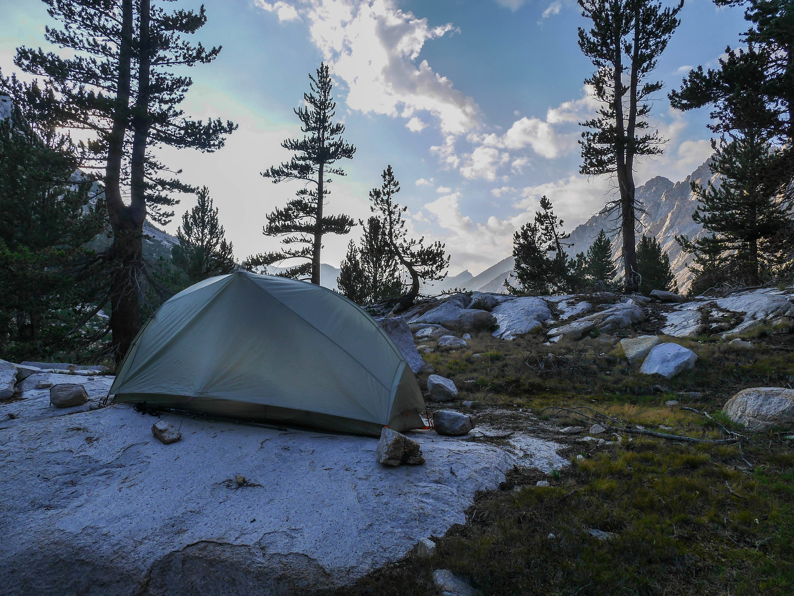
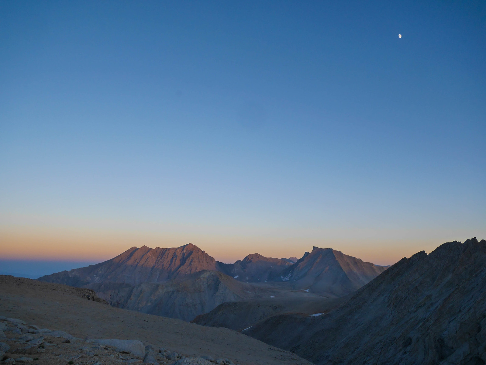
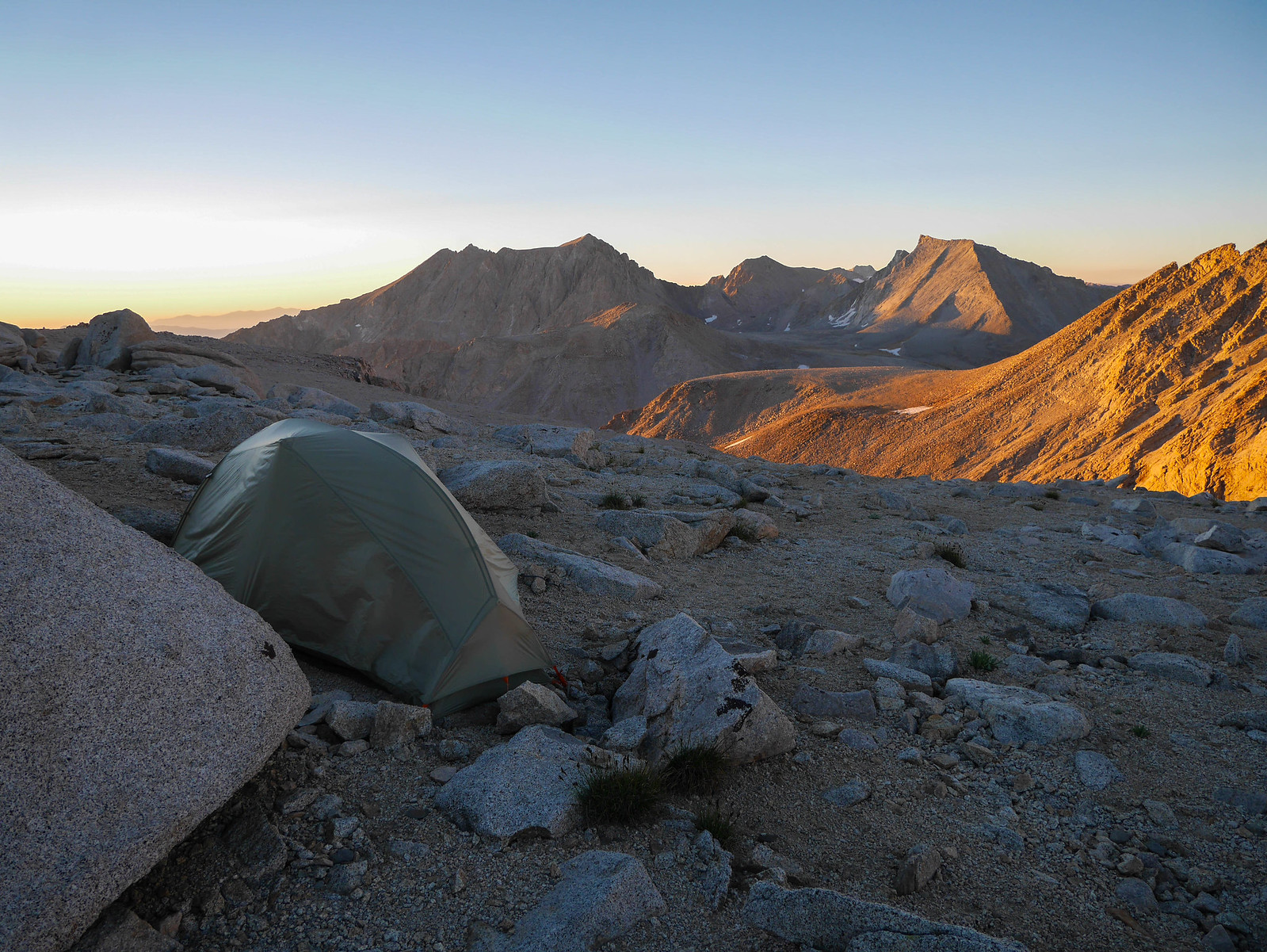
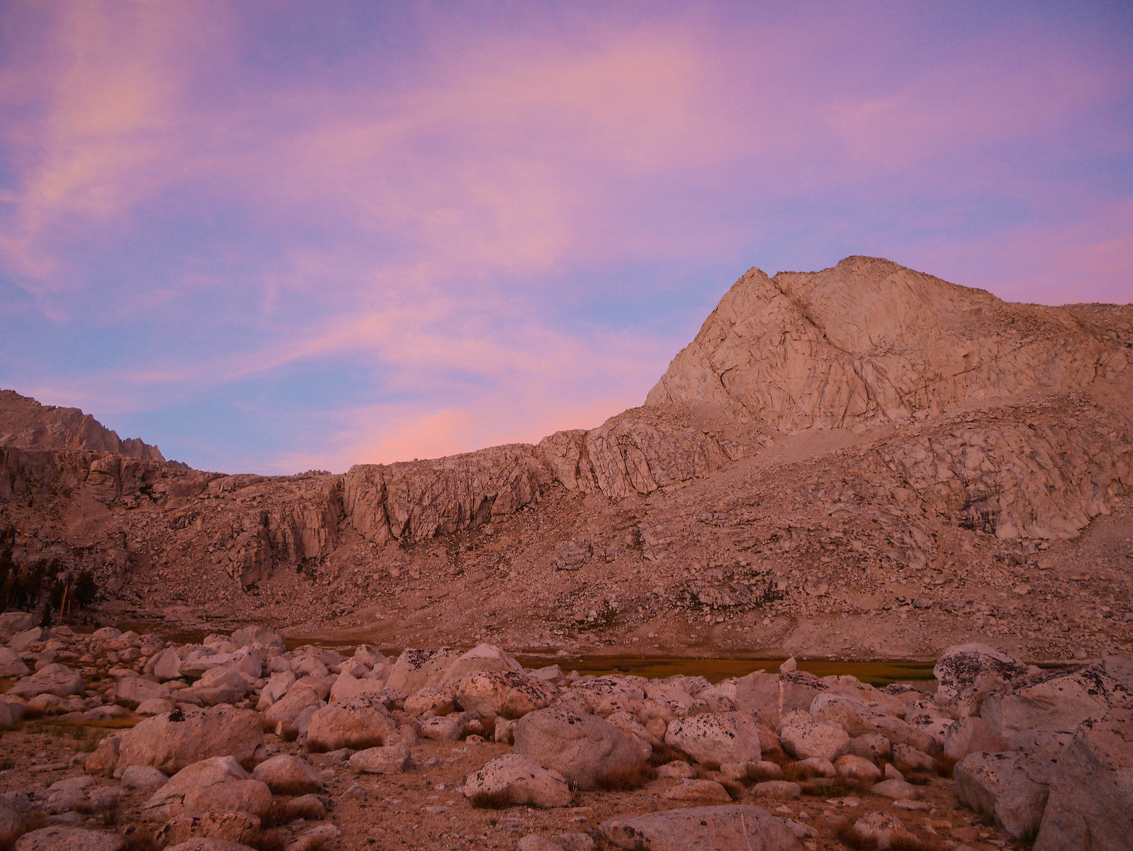
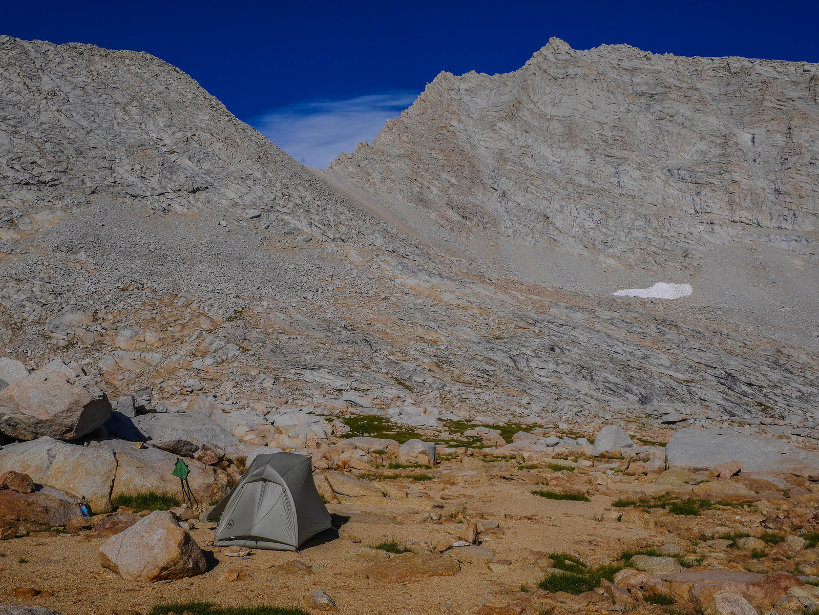
I reached Junction Pass around 6pm and was thrilled to see that I could pitch my tent behind some rocks up here.
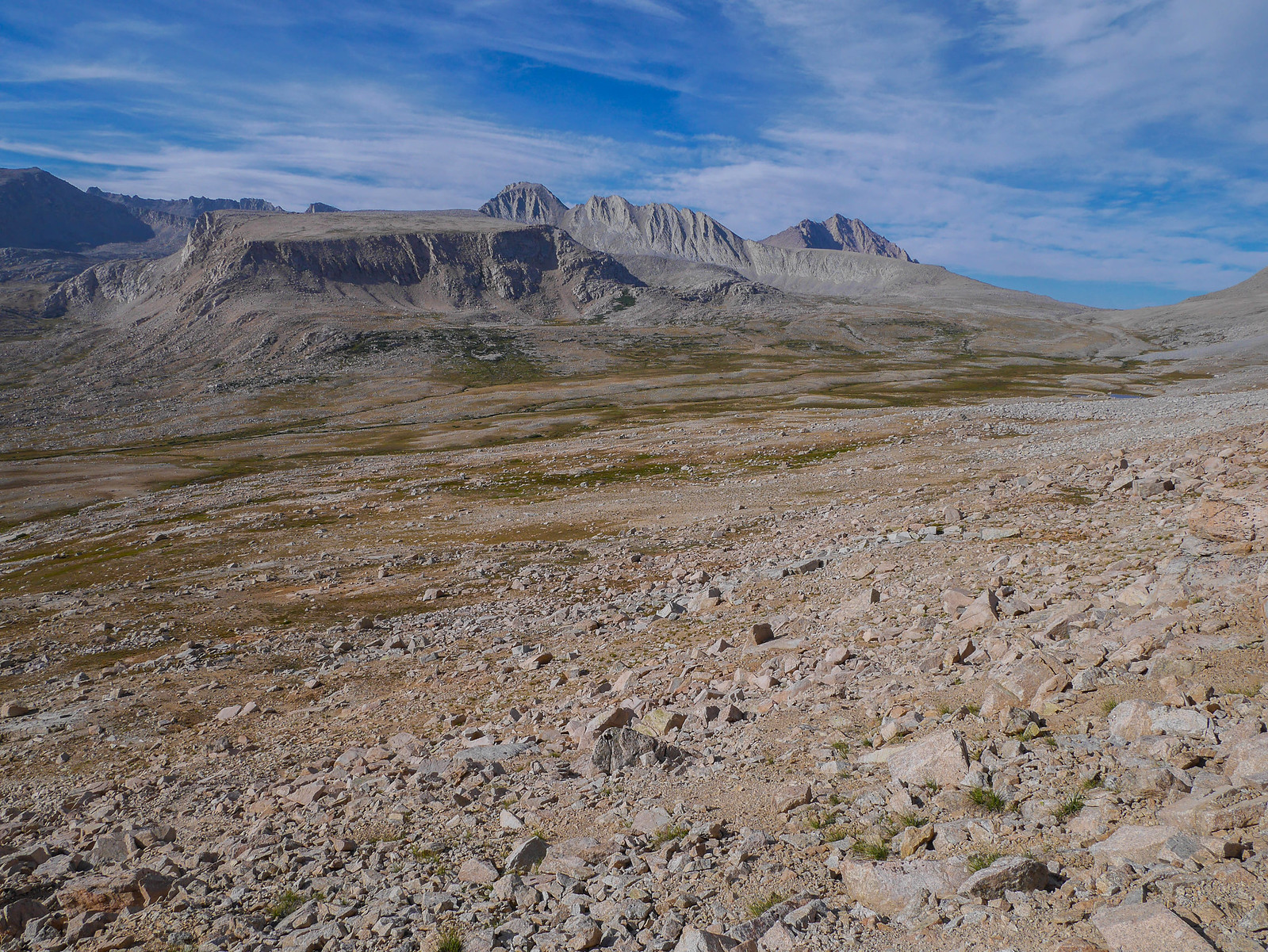
I set about making camp and then relaxed in the tent for a bit. What a view from my doorstep! The trapezoidal peak center frame is Mount Tyndall, the tenth highest peak in California standing at 14,025 feet. The farthest east (left) peak is Mount Williamson, the second highest peak in California and the sixth highest in the lower 48, standing at 14,379 feet. Between them stands Polychrome Peak at a measly 13,024 feet. Lower than my camp, which is at about 13,250 feet!
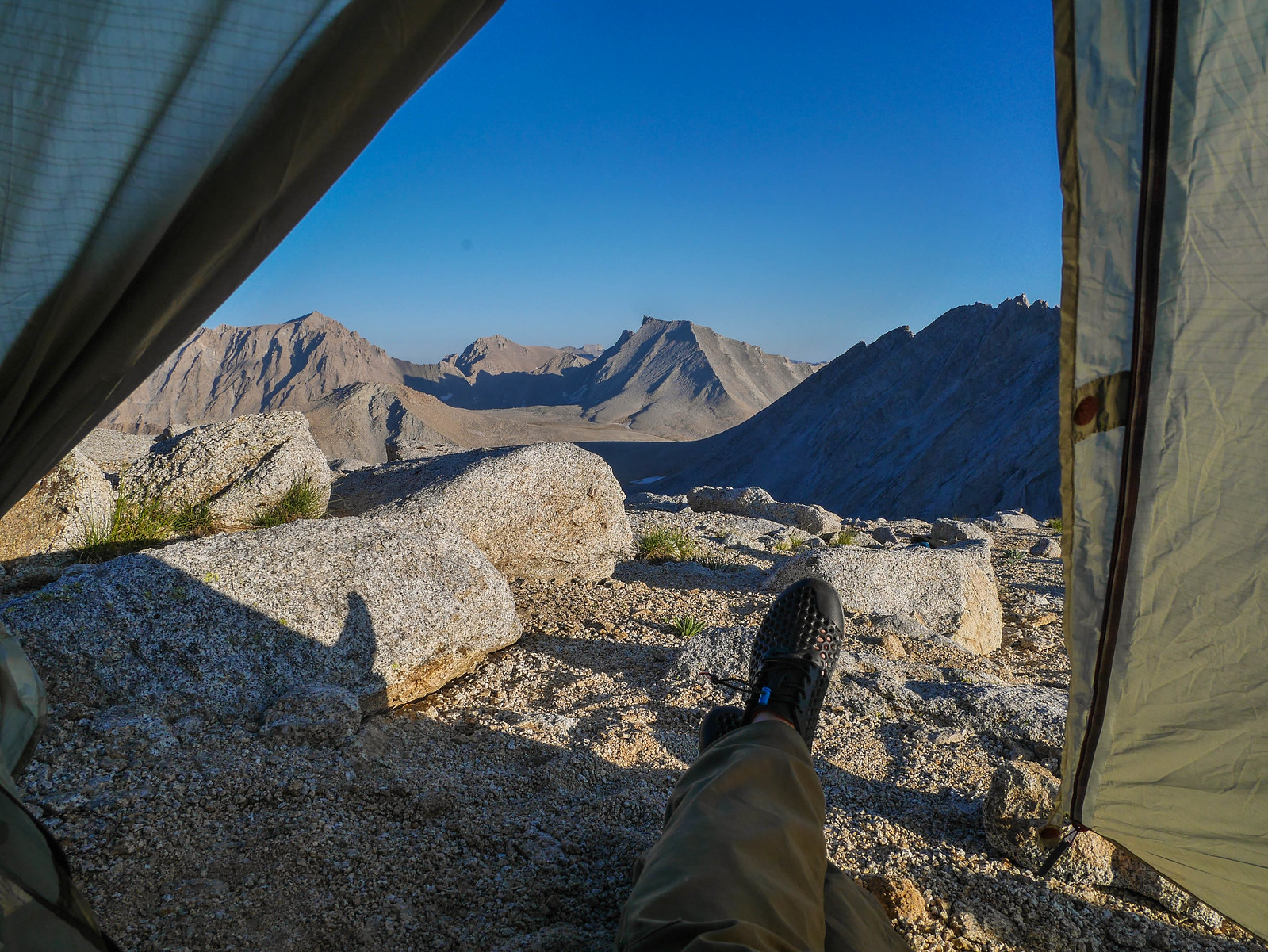
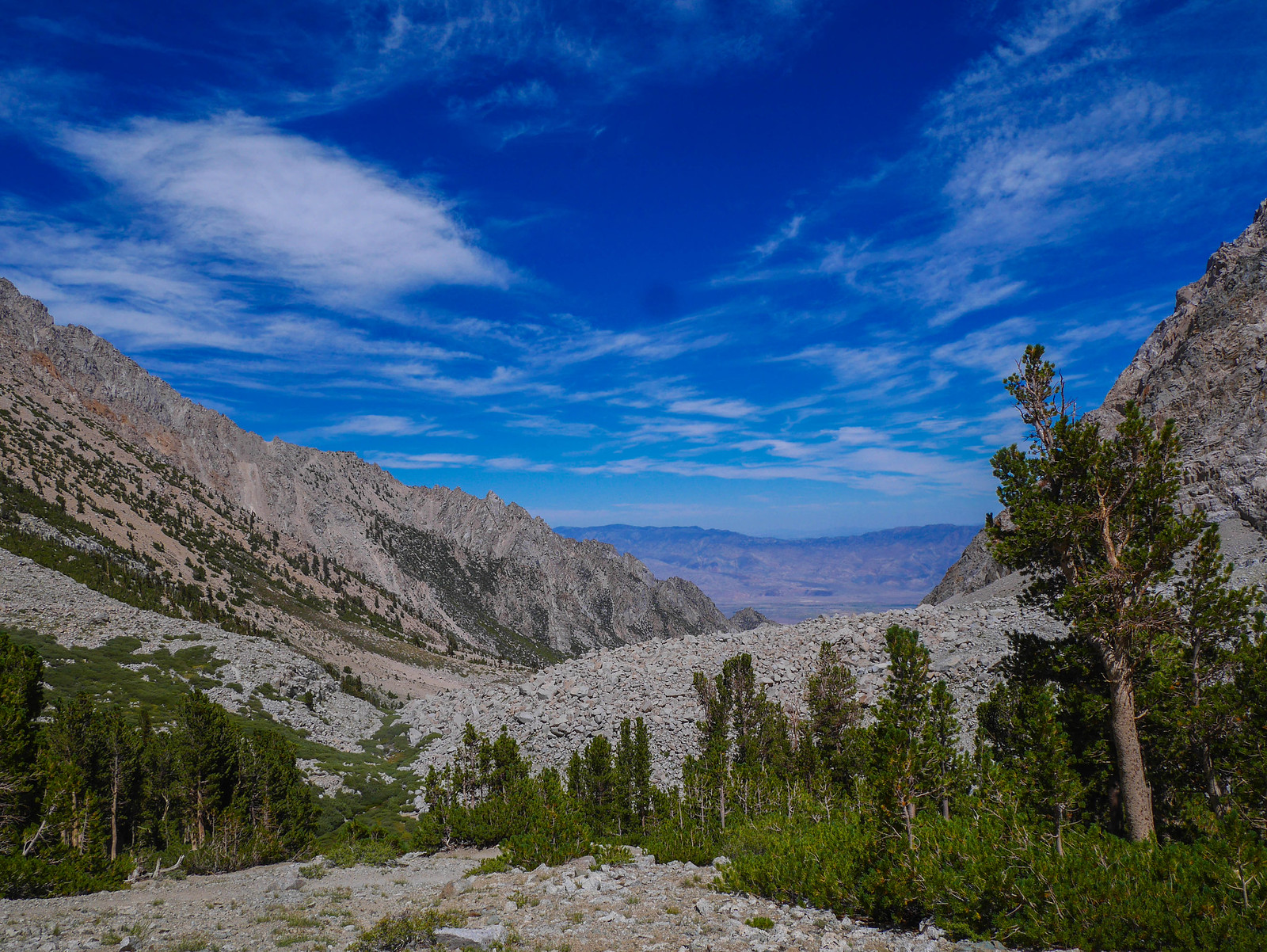
After dinner and putzing around camp, I wandered about snapping photos of the amazing scenery as the sun sank behind Gregorys Monument-South Peak to the west. Have I mentioned yet that Forester Pass lies along this same east-west ridgeline, just out of frame to the left?
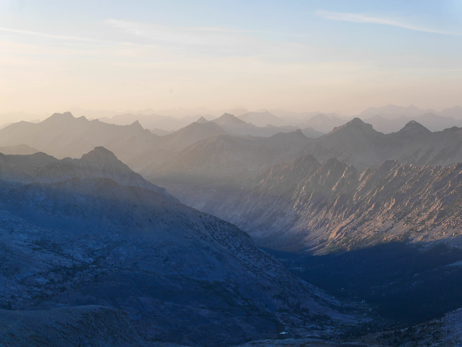
The view down Vidette Canyon was spectacular, if somewhat hazy from distant fires (sadly, the new normal for August trips in the Sierra).
Tyndall was looking quite impressive in the orange glow of last light as well, and the moon even made an appearance. My god, what a place to spend the night.
The haze from distant wildfires made for some moody and colorful glow as the sun set, after which I promptly climbed into my tent for some well-deserved rest.
Day 3
Junction Pass to Wright Lakes Basin
5 miles XC + 3 miles on trail, +2,100ft/-4,150ft
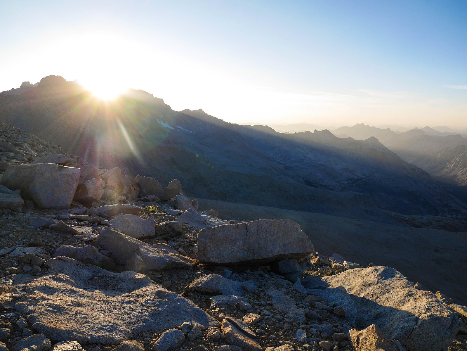
I set an alarm to wake up for the alpenglow on the Sierra Crest, one of the most glorious things you can see round here. I took this photo without even getting out of my sleeping bag.
I was so glad I'd decided to climb all the way up to the pass to camp. I mean come on.
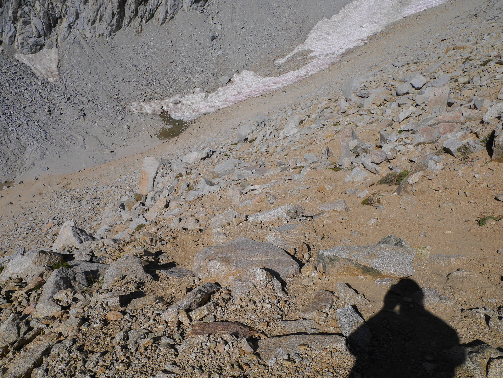
But! It was freezing cold and I was tired, so I climbed back in my sleeping bag to "rest" for "just a few minutes." You know where this is going. The next photo I took was this one at 9:45am:
Welp. At least you can clearly see the saddle the trail follows on the north side of Junction Pass? Williamson and Tyndall were looking cool in the mid-morning light as I packed up and began descending the south side of Junction Pass. The first few hundred feet of descent are easy-peasy on a relatively tame sandy slope.
My confidence grew. This is gonna be a piece of cake! Man, I'm such a badass. Look at me. Camping on a pass. Out here alone. I'm so tough. I'm the coolest. I can handle anything.
Um.. where does the use trail go? This looks like a cliff. Well, at least Junction Peak looks sick from here. But wait, where DOES the trail.. does it.. wait, do I have to just... um..
Well, ****.
You know photos never do this sort of thing justice. But the valley below in the photo above is about 600 feet below, down a loose sandy slope that is descended in about a third of a mile, about a 35% grade. If you're not familiar with backpacking, just know that any slope of more than about 500 feet in a mile feels like A LOT. This one was sketchy as hell, and must be insanely sisyphean to ascend. My quads hurt just thinking about it.
As it was, I just boot-skied down it, dislodging 50 pound boulders here and there, thankful I was alone and calling out below to make sure nobody was below me as I white-knuckle gripped my trekking poles here and butt-scooted there. It sucked. Here's a look up from about midway down.
 [/url]
I mean, maybe I'ma baby but... LOOK AT THIS. The rocks in the foreground are the same size as the rocks that look tiny down in the valley.
 [/url]
I was so, so happy when I got down to what was a level trail. Unfortunately, this joy would be short lived, as the use trail soon petered out.
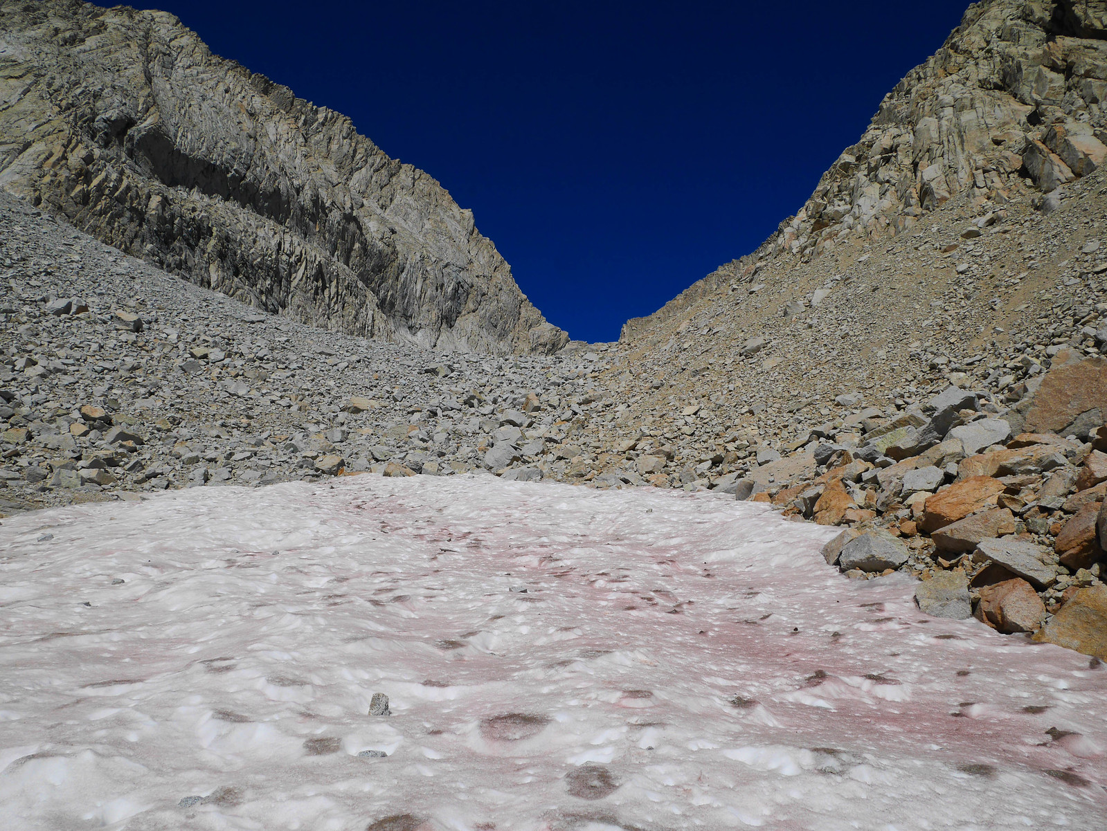
I slid-scrambled down a steep patch of sandy loose rock to descend into the base of the valley proper. I had read that if I'm lucky, I'd encounter snow here to save me some talus hopping. That happened! For like... fifty feet of descent. And then it was picking my way through talus again.
I hoped I wouldn't end up being a snack for the local carnivores.
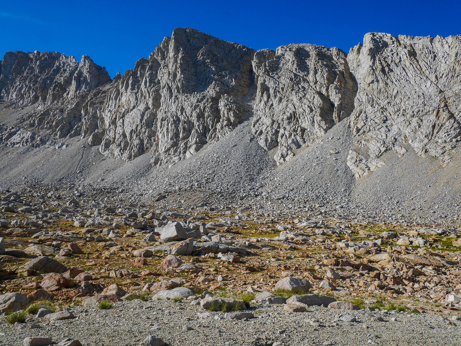
It was talus and talus and talus. For days, it seemed. But in reality it had taken me two hours to descend 1,350 feet from Junction Pass to this spot, around 11,900ft.
It was just more of the same for the foreseeable future. Hopping rock to rock, backtracking when I ended up in too-huge boulders, looking back up at magnificent views of what I'd tackled already.
 [/url]
Finally, a bit after noon, I got my first good look at the willow-choked headwaters of Shepherd Creek. I had read several trip reports for this area, all with conflicting information about what the best route to take would be.
I was happy to find an old use trail west of the main creek in this area. This seemed like a great sign! I followed it as it switchbacked down the gravelly slope towards the willow flats below.
And then I lost the trail. It goes... somewhere amidst those willows. I have no idea of the proper route. I ended up bushwhacking through steeply choked brush and trees along the southwest side of the creek here. I'm sure there's a better way, maybe on the northeast side of the creek? Who knows. Not me.
I had to decide whether to go straight across holding my elevation through what looked like bouldering-scale total garbage car-sized talus, or to lose several hundred feet following the creek down to where it meets the Shepherd Pass trail. Fun!! I knew that if I followed this damn creek I would eventually either die or reach the Shepherd Pass trail, so I chose that. It was rough and I was questioning my sanity at this point.. and then I saw a cairn! It was in the middle of freakin nowhere, with no obvious route in any direction from it. Maybe I imagined it. Maybe I was at what is colloquially called "the Oasis" in this area. Maybe this all was just a dream. What is consciousness anyway, really?
I clambered across what I hoped was a final stretch of boulders, somewhat awkwardly in my philosophical state of mind, and then I reached the bit of Shepherd Creek coming down from the pass. MY GOD! I was nearly at the trail. I found a decent way across the creek, followed a faint use trail for a bit, and then I WAS ON THE MAIN TRAIL UP TO SHEPHERD PASS. woohoo.
I was down in The Pothole by this point. I thought I'd be able to get water nearby, according to my map, but no, I had to go BACK to where I crossed the last creek to fill up my bottles. Whatever. I was on a trail. This was great. Except that the next thing I had to do was ascend garbage like this:
 [/url]
This might look nice but really it's basically straight up. Theme of the trip, I guess! Anyway, it was 1:30pm and I needed a freakin break, so ducked below the only measly tree I could find and mainlined peanut butter pretzels and electrolyte tablets. Cause for ****'s sake the next thing I had to do was ascend 1,250 feet in 1.3 miles to Shepherd Pass.
Well, there's no time like the present. So, I got goin'. I got myself to get. Partway up I noticed a line of sight to Payahuunadü (the Owens Valley if you want its colonial name), so I thought I'd see if I had service so I could check in with friends and family to let them I was not coyote food. I had a couple bars of 3G on AT&T, and was able to accomplish this.
I pushed on, and then gave the middle finger to the view of area from whence I'd came.
 [/url]
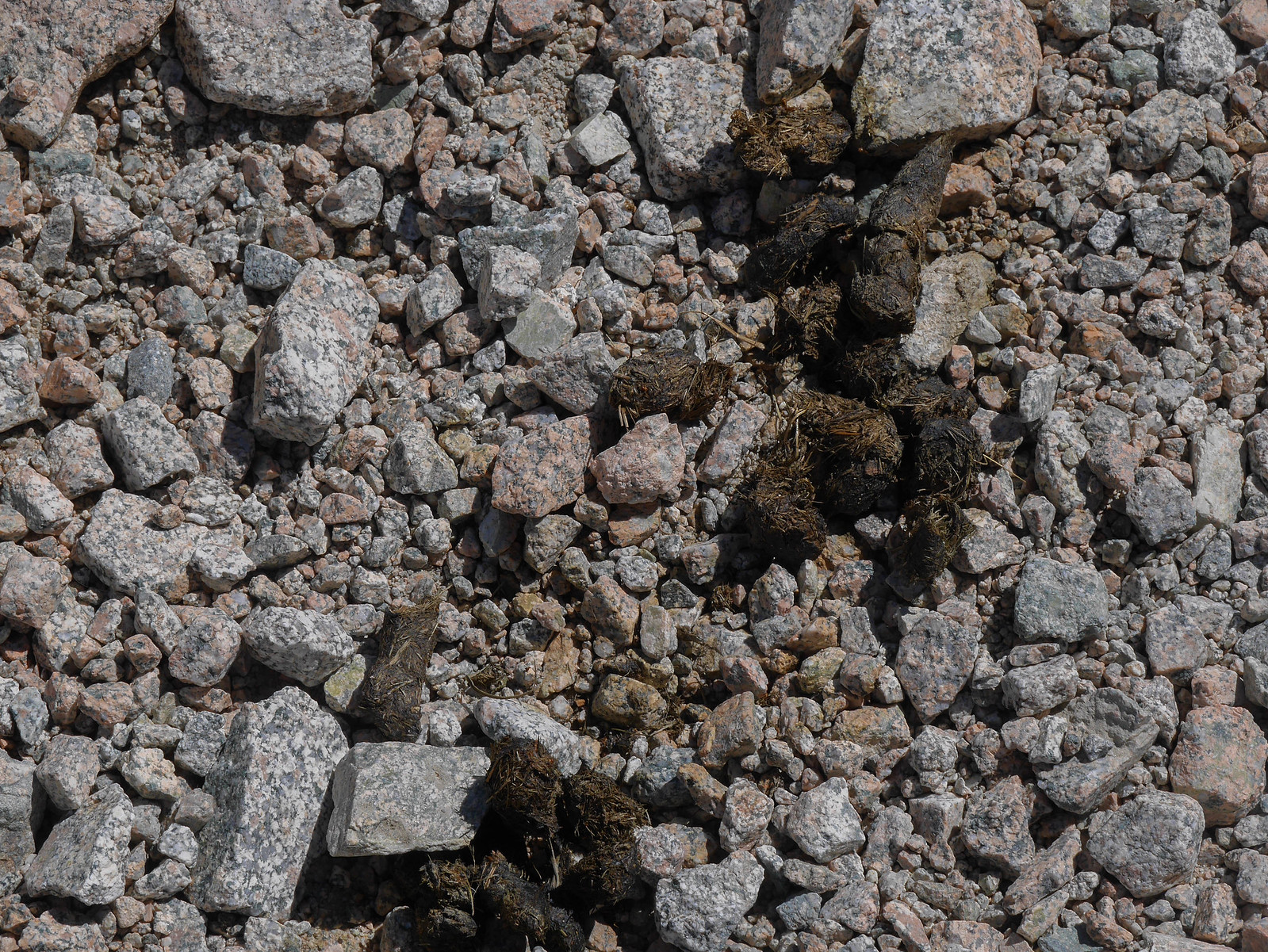
And there was coyote poop. This could have been me! Actually, I wouldn't mind this fate. Is burial by coyote legal in 21st century America?
Maybe by this point you've noticed that I'm writing this trip report under the influence of a couple glasses of sparkling wine on new years eve. Maybe you haven't. Maybe that's not even true. Maybe it was Martinelli's and my writer's voice is extremely sensitive to fructose.
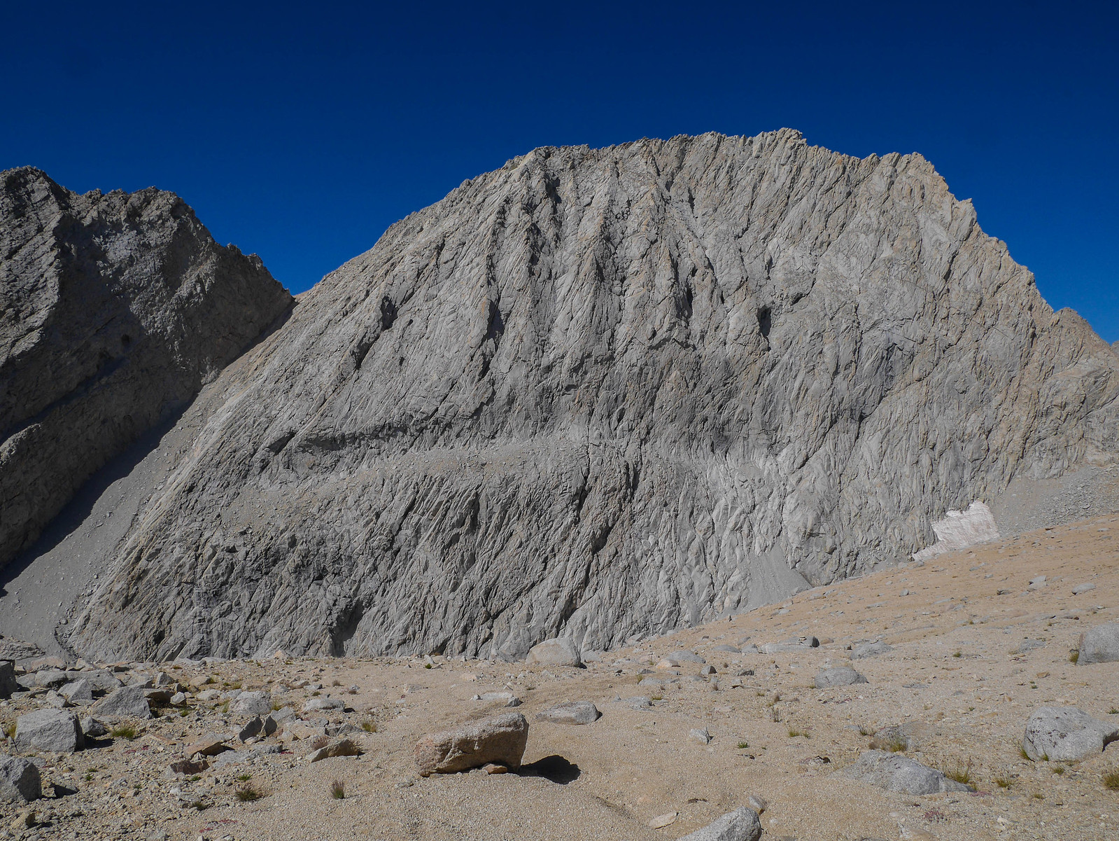
Aaaaaaaaanyway, next I had this daunting ascent up to Shepherd Pass. It turned out to be not nearly as bad as it looked.
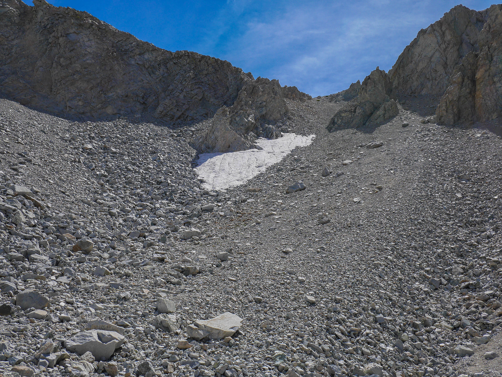 [/url]
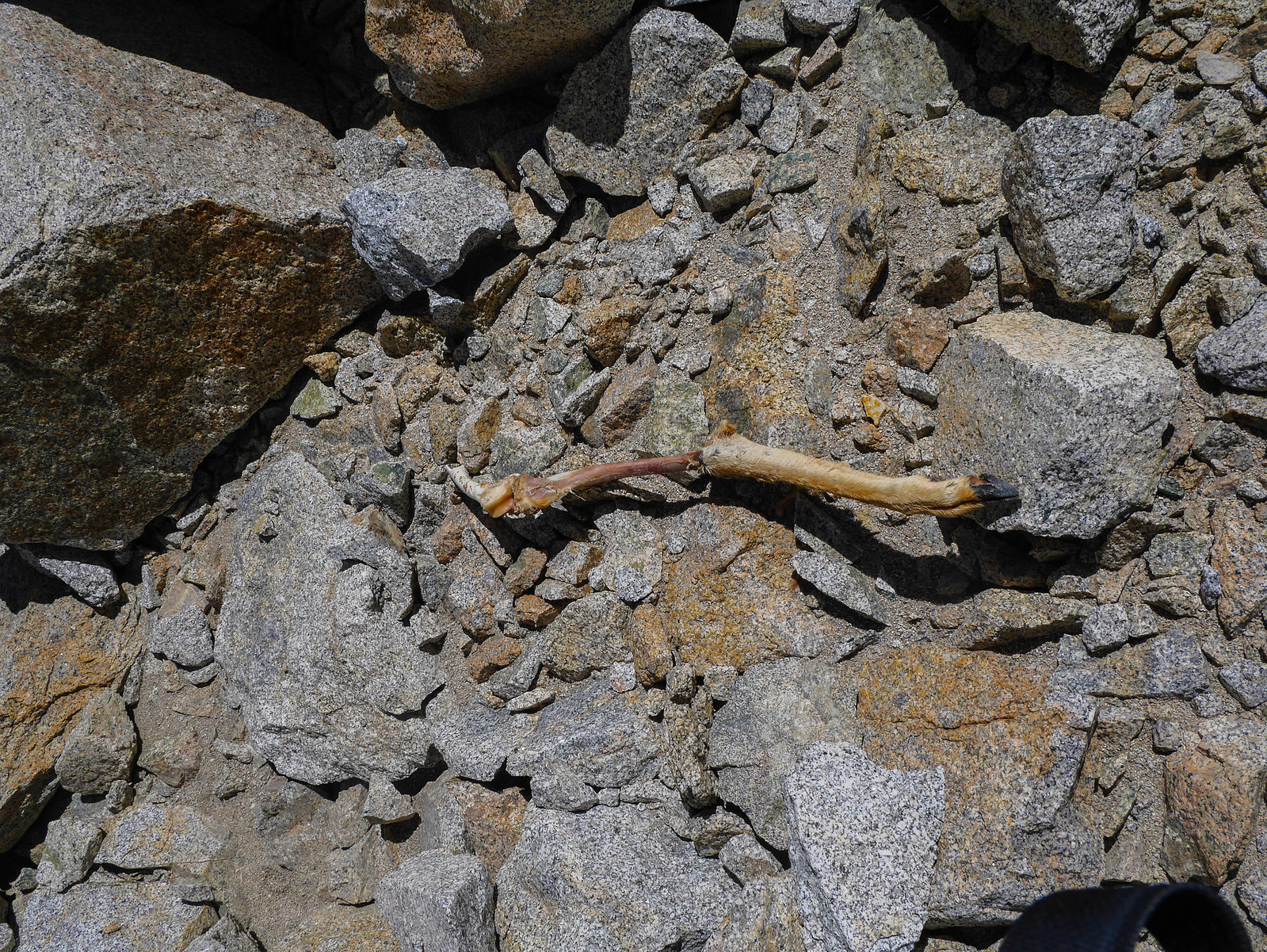
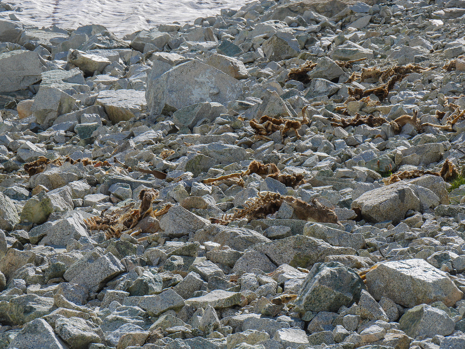
It looked bad, though, and I'd heard that the top bit was washed out and I'd need to scramble. Then I came across this horrorscape of deer carcasses. Maybe 50 of them? I had already encountered a similar open grave below Bishop Pass on my North Lake-South Lake via Lamarck trip in July (oh man have I not written that up yet? WHY IS THIS SO HARD.), so I wasn't too phased. I'm not quite incompetent enough to get swept away in an avalanche in August.
And then I was on top! It wasn't too bad to get here and I arrived around 2:30pm. Just some scree some spots, a little sandy in other spots. Probably rebuilt and different by the time you hike this anyway, who cares.
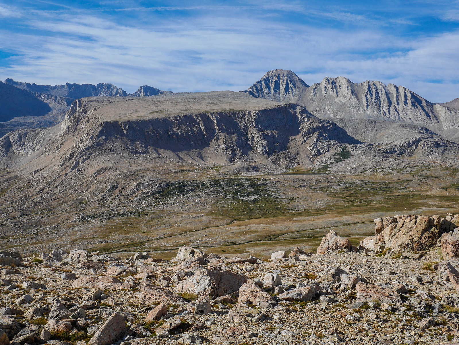
Tyndall looks chubby from here... What happened to those gorgeous trapezoidal lines? I can't believe how some mountains let themselves go these days.
There's a tarn here where a lot of people camp, I guess. I didn't go over there.
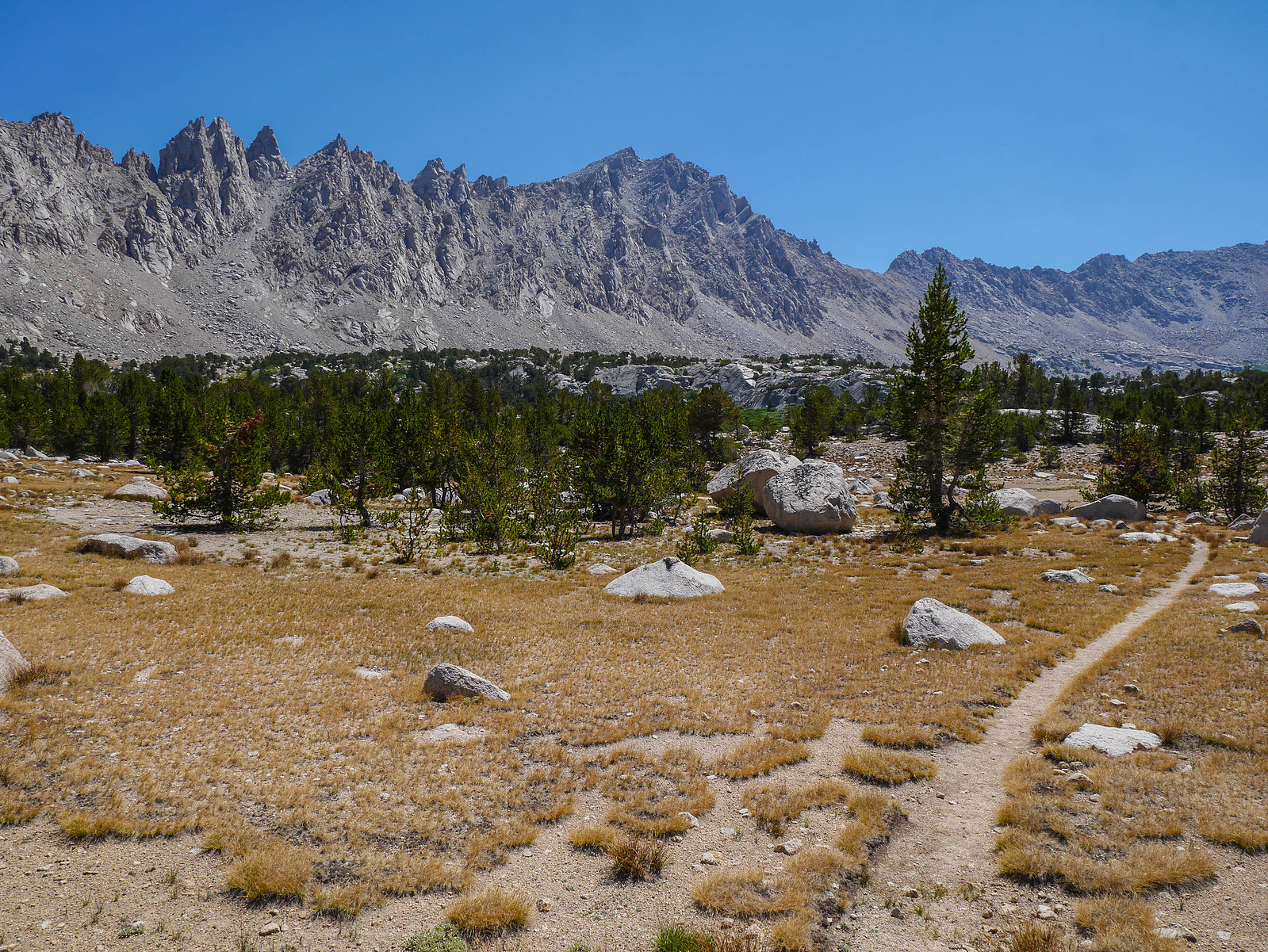
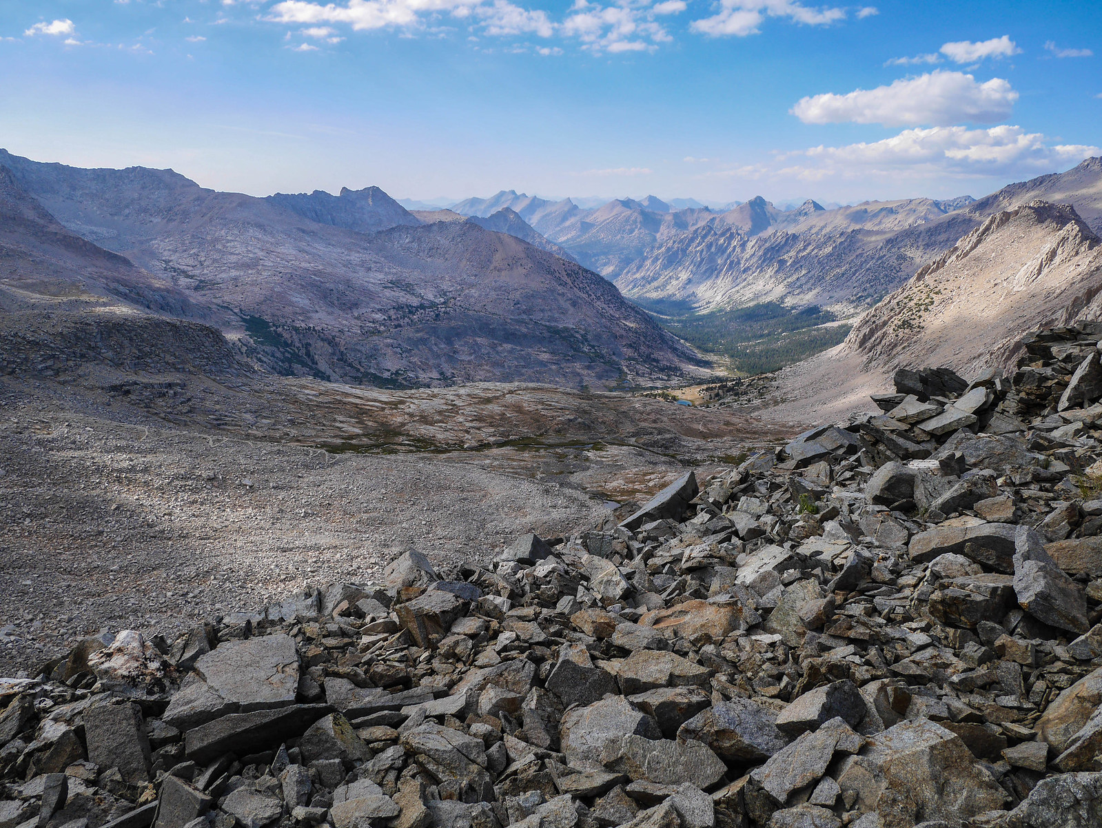
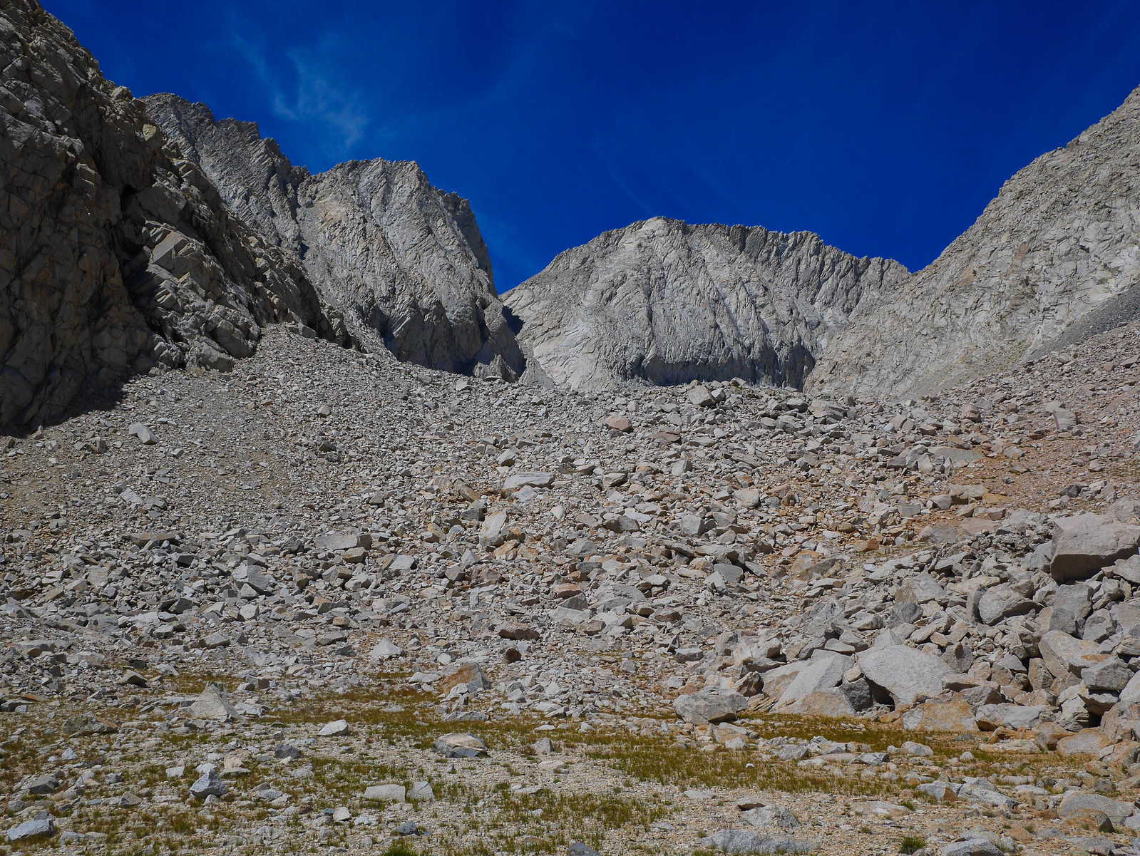
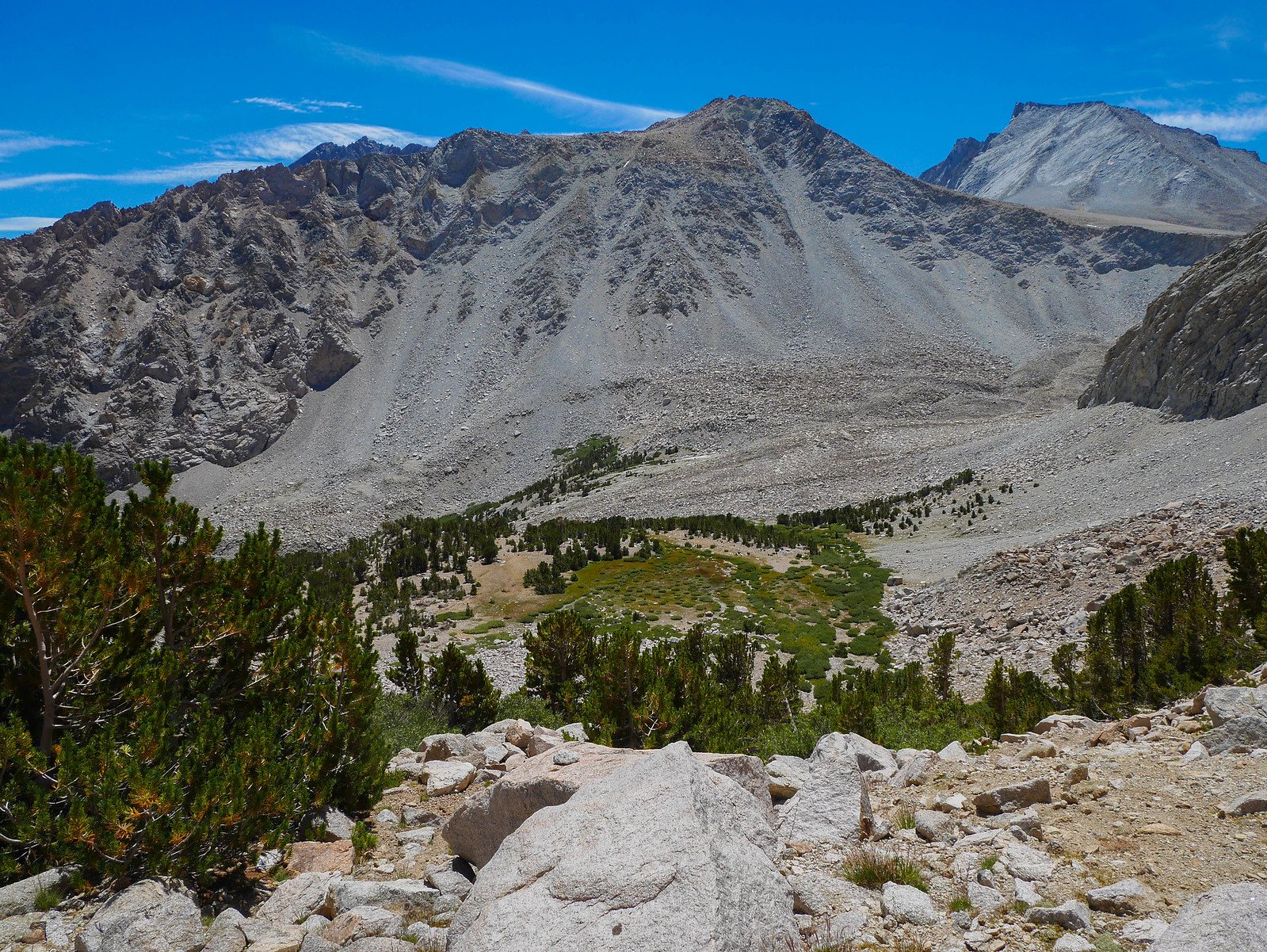
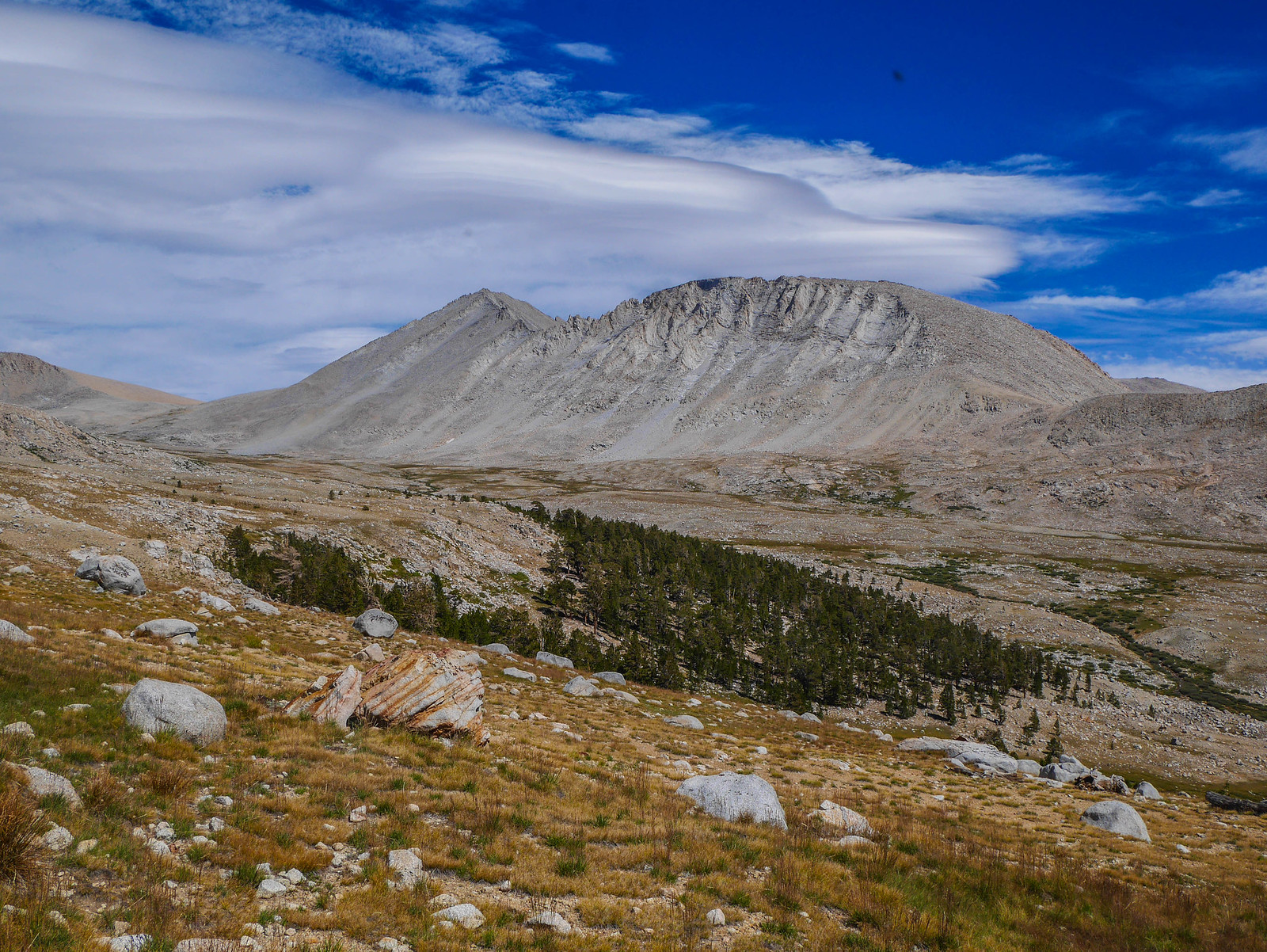
My goal was Wrights Basin. To get there, I'd need to descend this ridiculously easy, well-graded trail down a while, and then cut cross-country up to the low point on the near-left ridgeline. This is Rockwell Pass.
As I descended, I got a better view of the pass. I'd seen it from a distance on the other side before when Jason & I did the Circle of Solitude, so I knew that the south side was pretty tame. I was happy to see that this side seemed to be similarly decent.
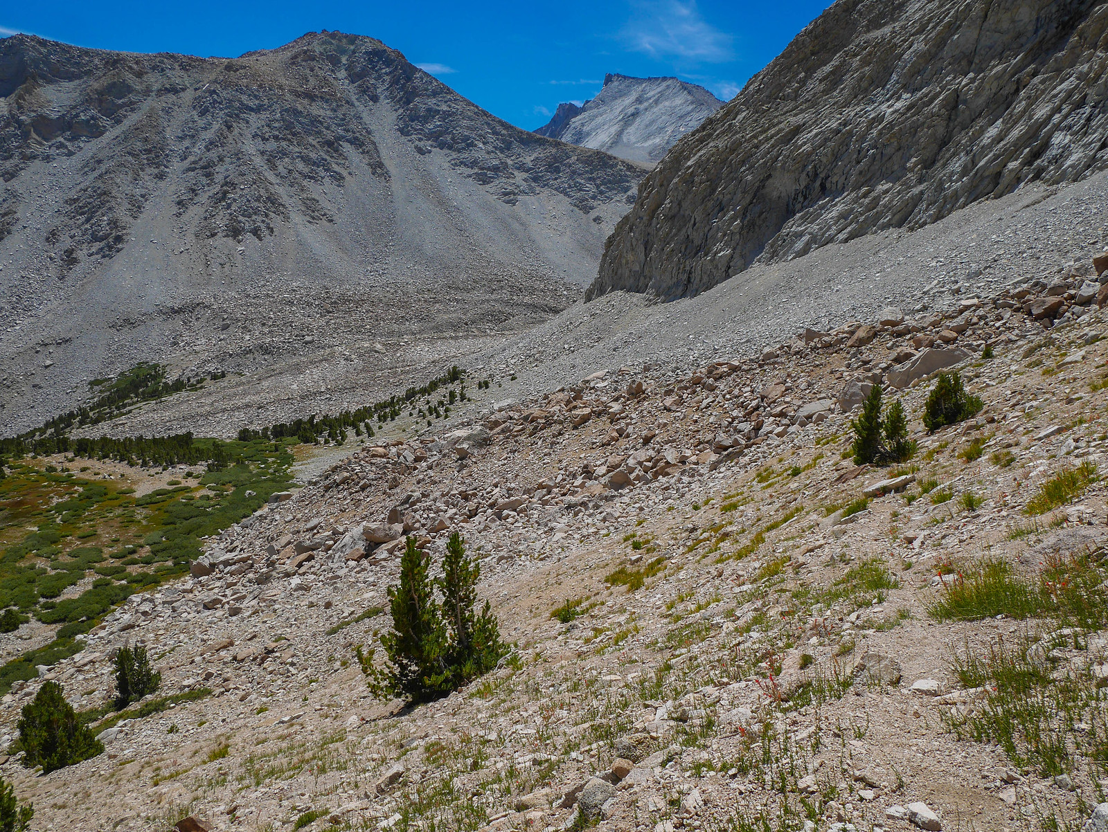
I followed the trail for a while, then cut across the open meadow / sandy rocky undulating small hills towards the pass. From afar, I wasn't sure if the route up to the pass was the very clearly visible diagonal cut, or if it was just to the left of this, below what looked like somewhat steepish cliffs. I kept this view in mind as I headed across the valley of Tyndall Creek.
Looking back, I had a cool view of Junction Peak from the opposite side from what I had earlier in the day. When the trail crossed a stream, I filled up water and took another snack break.
I continued towards Rockwell Pass, avoiding travel across sensitive marshy meadow areas.
Once I'd arrived at what I thought was the base of the pass, I was again confronted with the question of whether to go left or to go right. It seemed that either would work. I was pretty tired after the day's adventures, so I was also open to staying in this area if I couldn't find the route easily. But I explored a bit and discovered a use trail leading up to the left to the low point in the picture below.
 [/url]
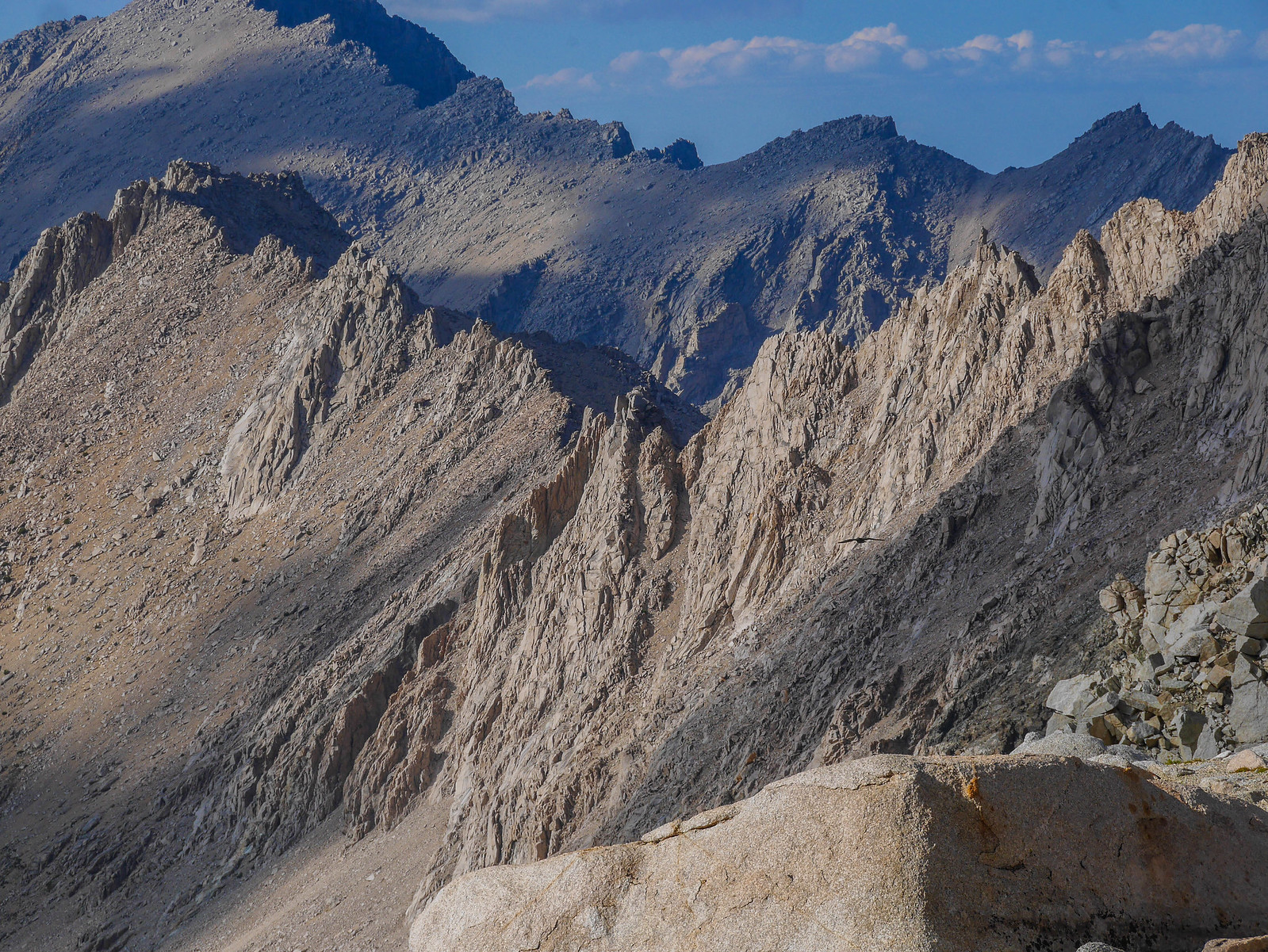
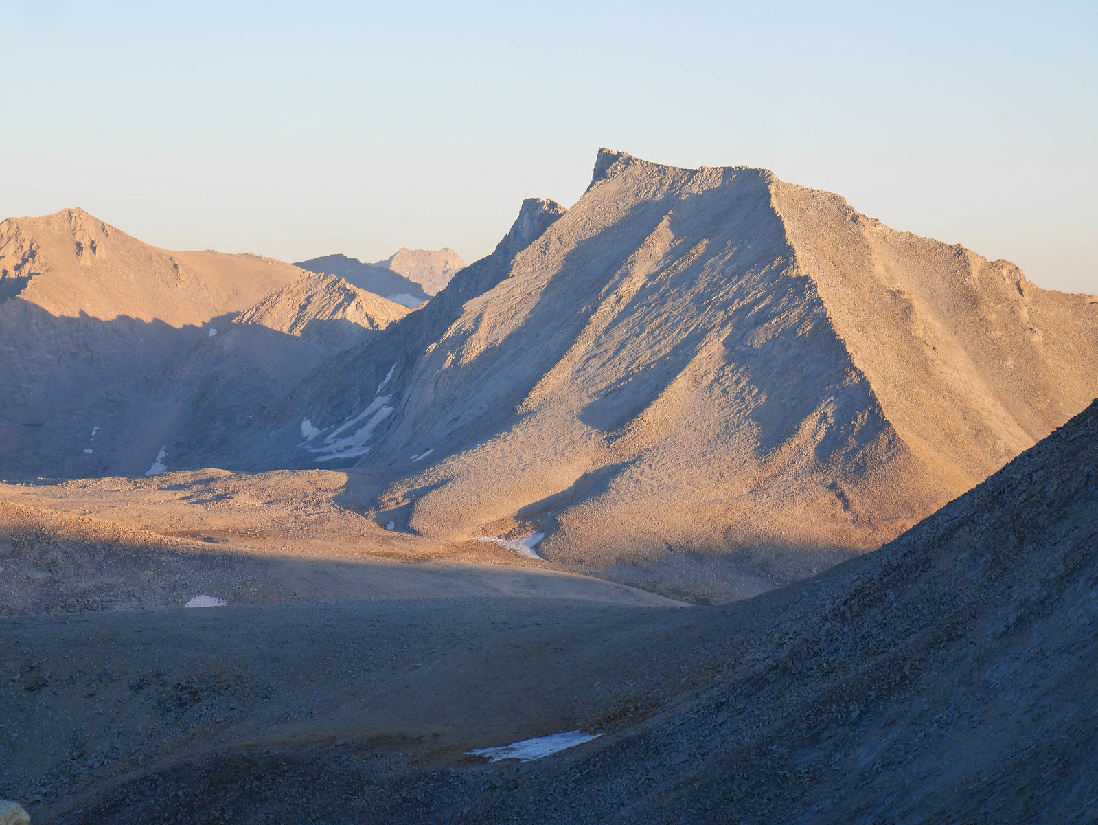
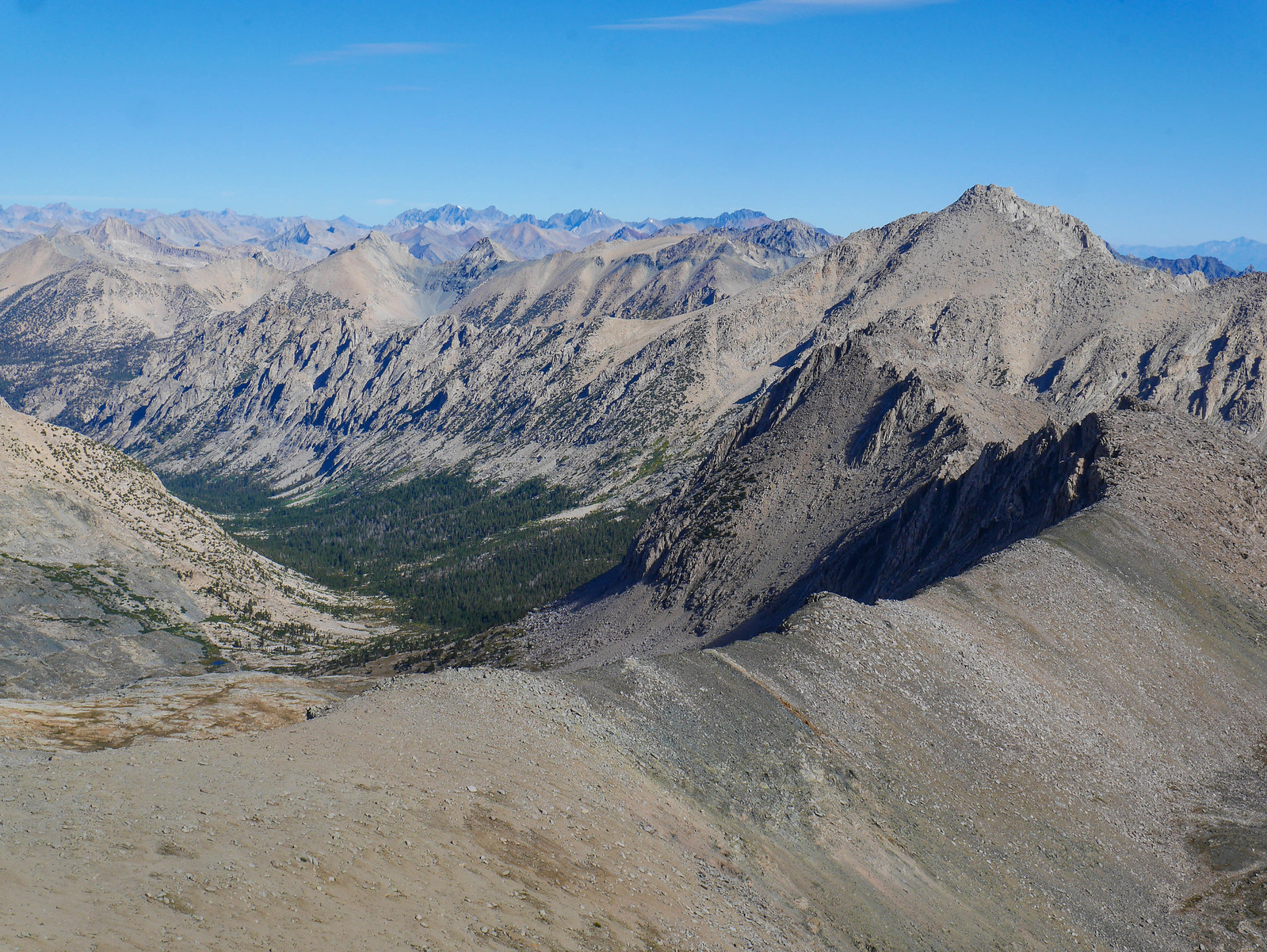
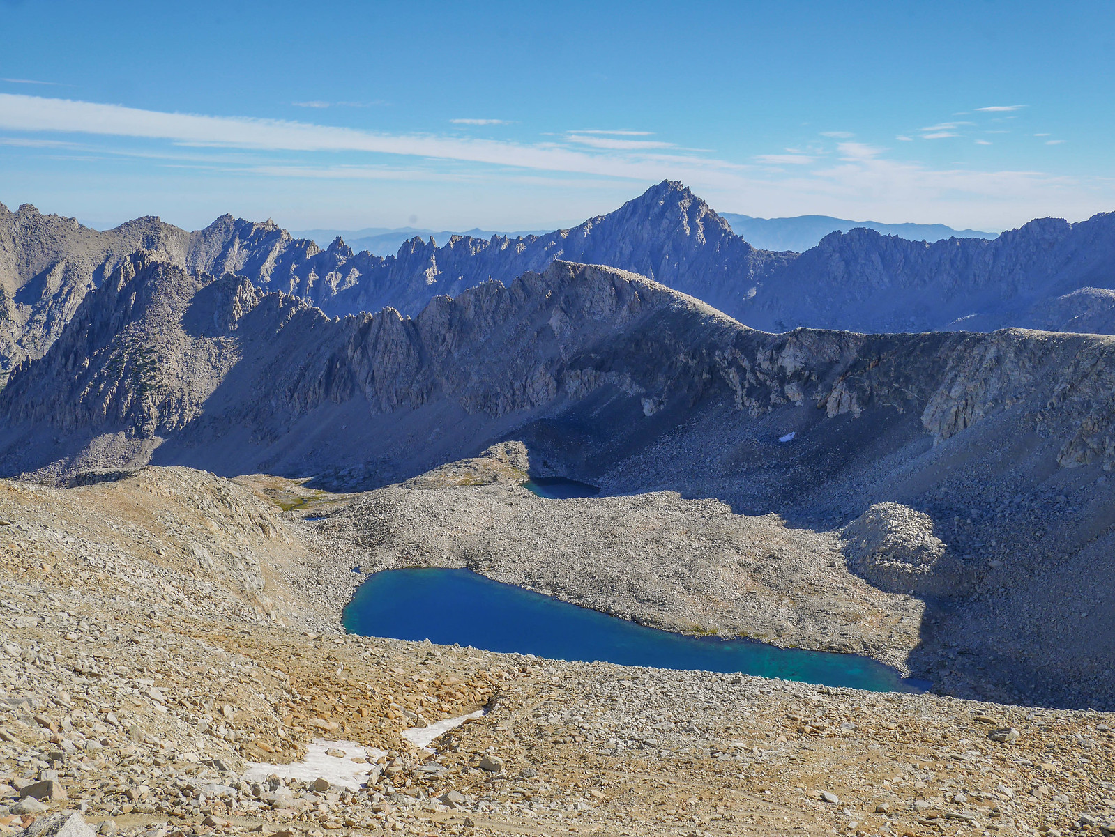
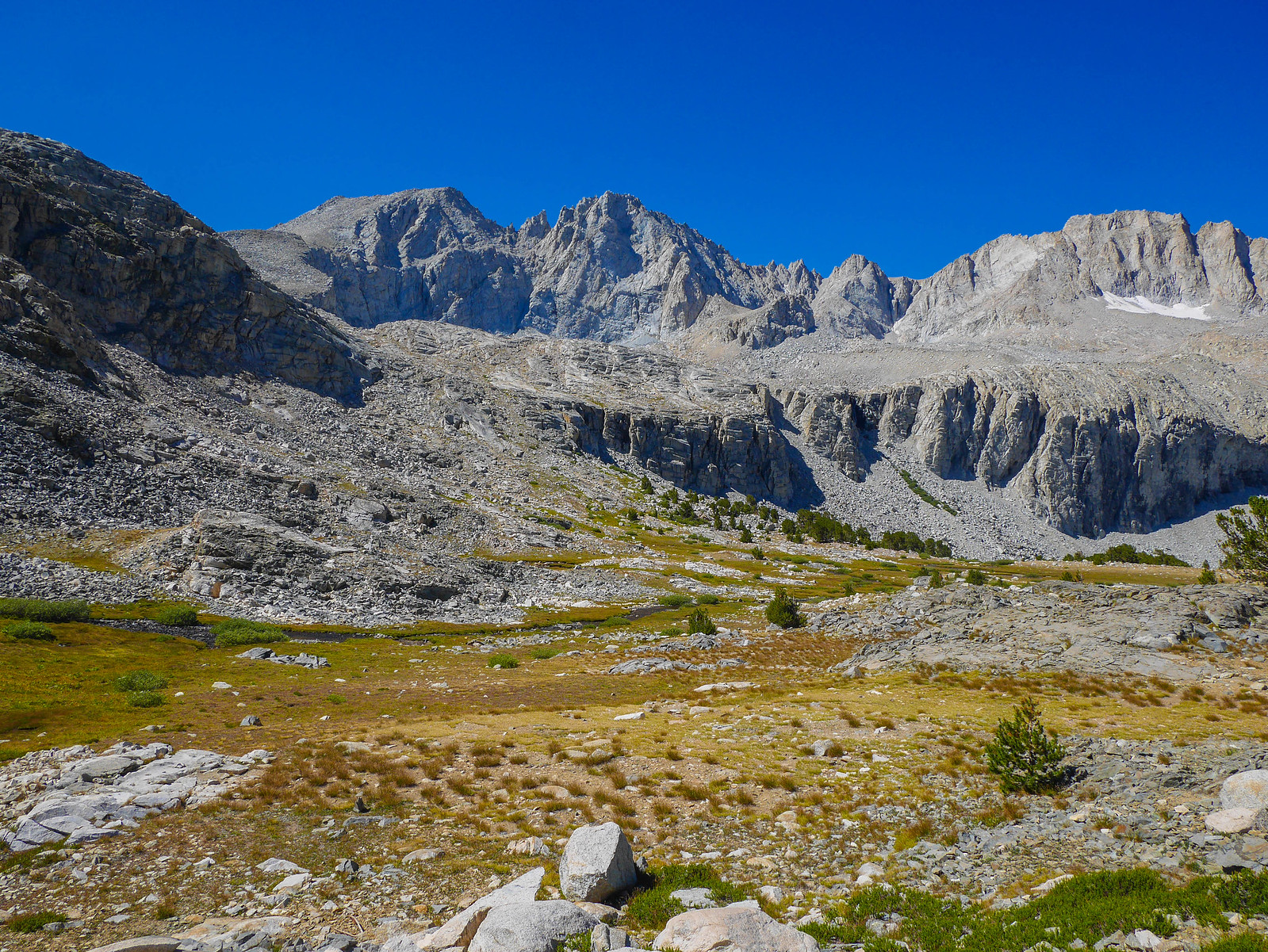
As I ascended, the views of upper Tyndall Creek, Diamond Mesa, Junction Peak, and Shepherd Pass blew my mind.
Diamond Mesa is one of my favorite features in the entire Sierra Nevada when looking at topo maps. It's just got this impossibly perfect diamond shape, and from the top of Rockwell Pass I had a great view of it.
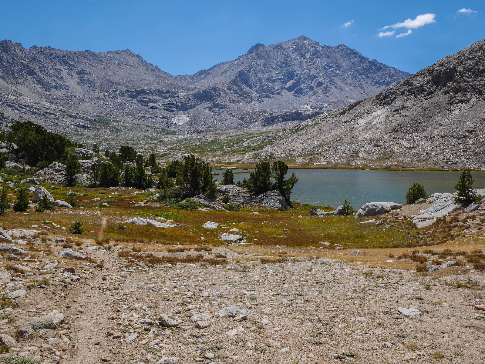
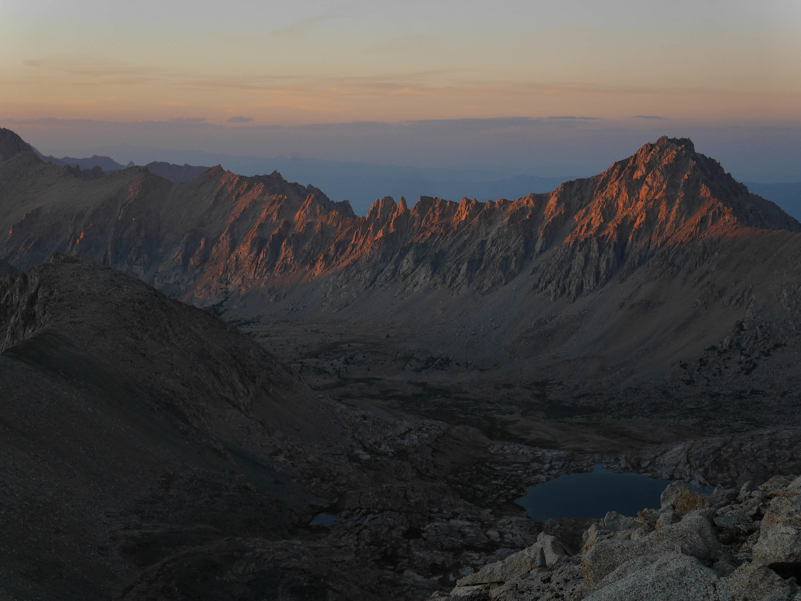
Looking south into Wright Lakes Basin from the top of Rockwell Pass, I had to decide where I would camp for the night. It was coming up on 5:30pm and I was exhausted from the day's descent from Junction Pass, ascent of Shepherd, then descent down Tyndall Creek and then up Rockwell Pass. I wanted to visit the higher lakes in the basin over towards the northeast of the basin, below Tyndall, so I headed in that direction.
Coming down from the pass on this side wasn't too tricky, and I think there are probably a zillion different ways to do it. Just follow your nose, it's not too bad. Here's looking back up at Rockwell from Wright Lakes basin.
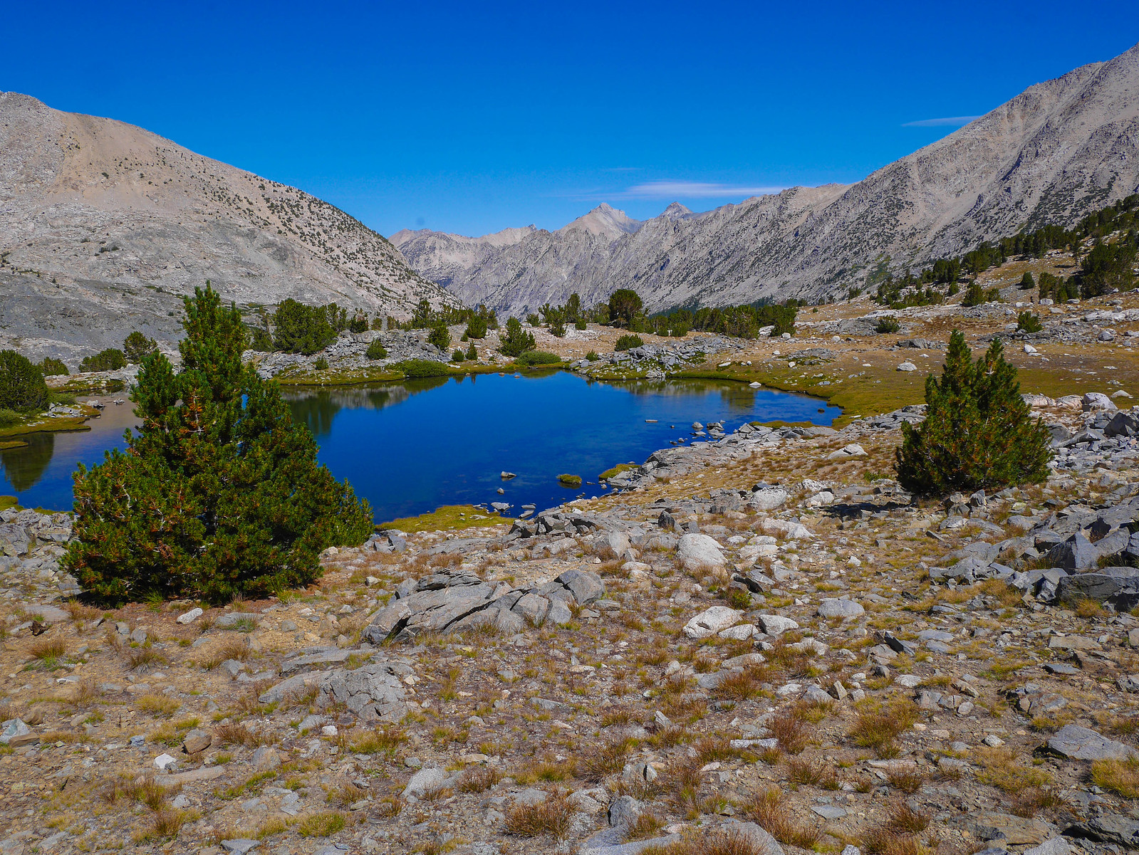
Well, the lake I'd planned to camp at turned out to have a very rocky shoreline. There were plenty of ok-ish spots to camp up from the level where I was when I took this photo, but I needed water and the thought of descending down and then climbing back up was too much for me after the day I'd had, so I pressed on, heading south-ish down the slope towards this lake's outlet stream.
I thought maybe I'd find a spot amidst the many boulder outcroppings in the basin, but nothing very nice presented itself. So I kept going, thinking that the flat area around that lake in the distance looked promising.
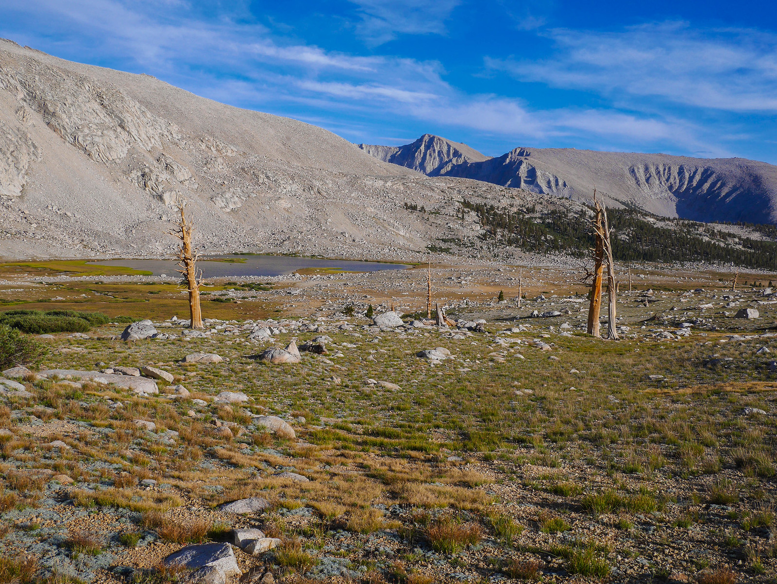
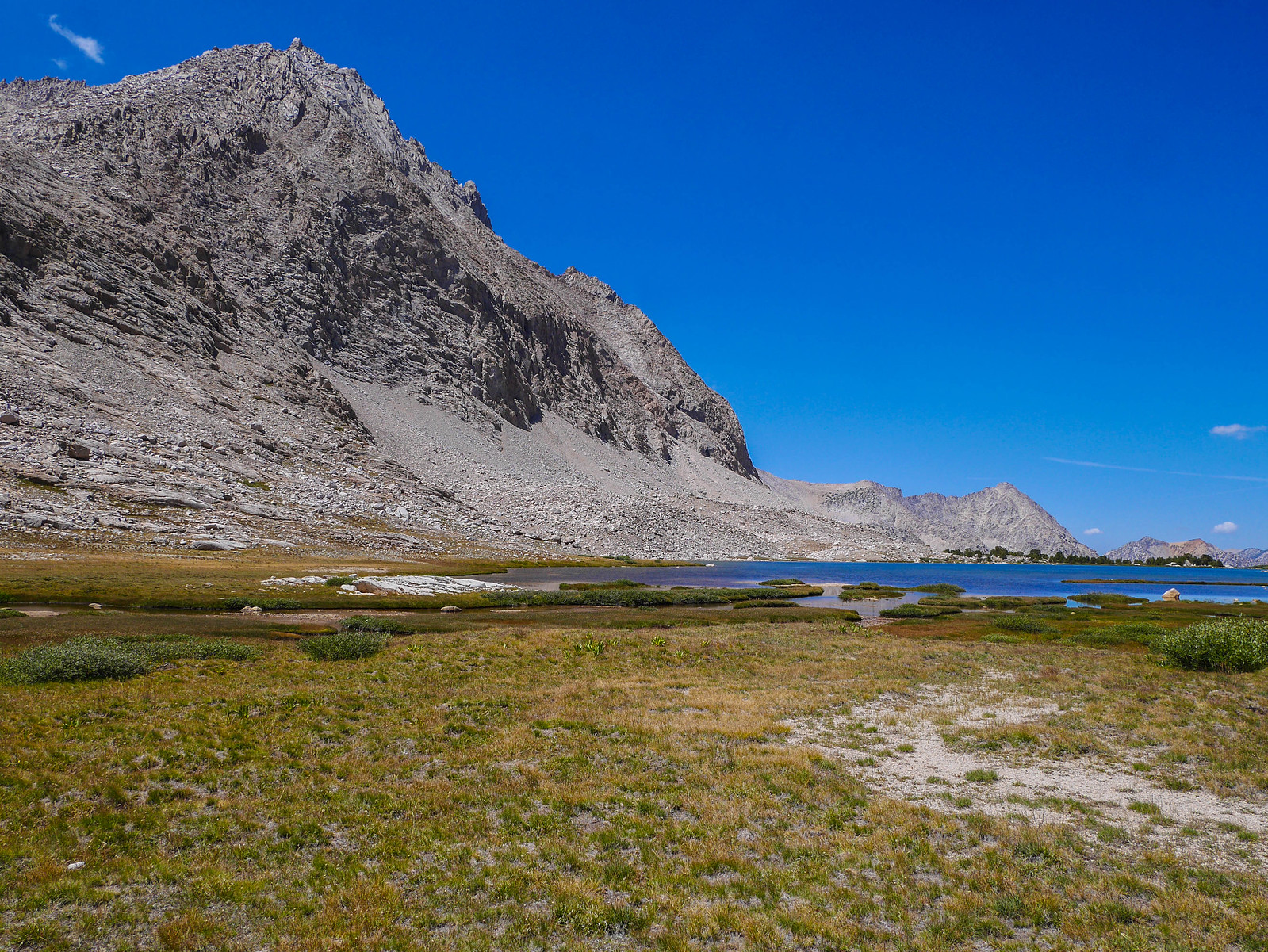
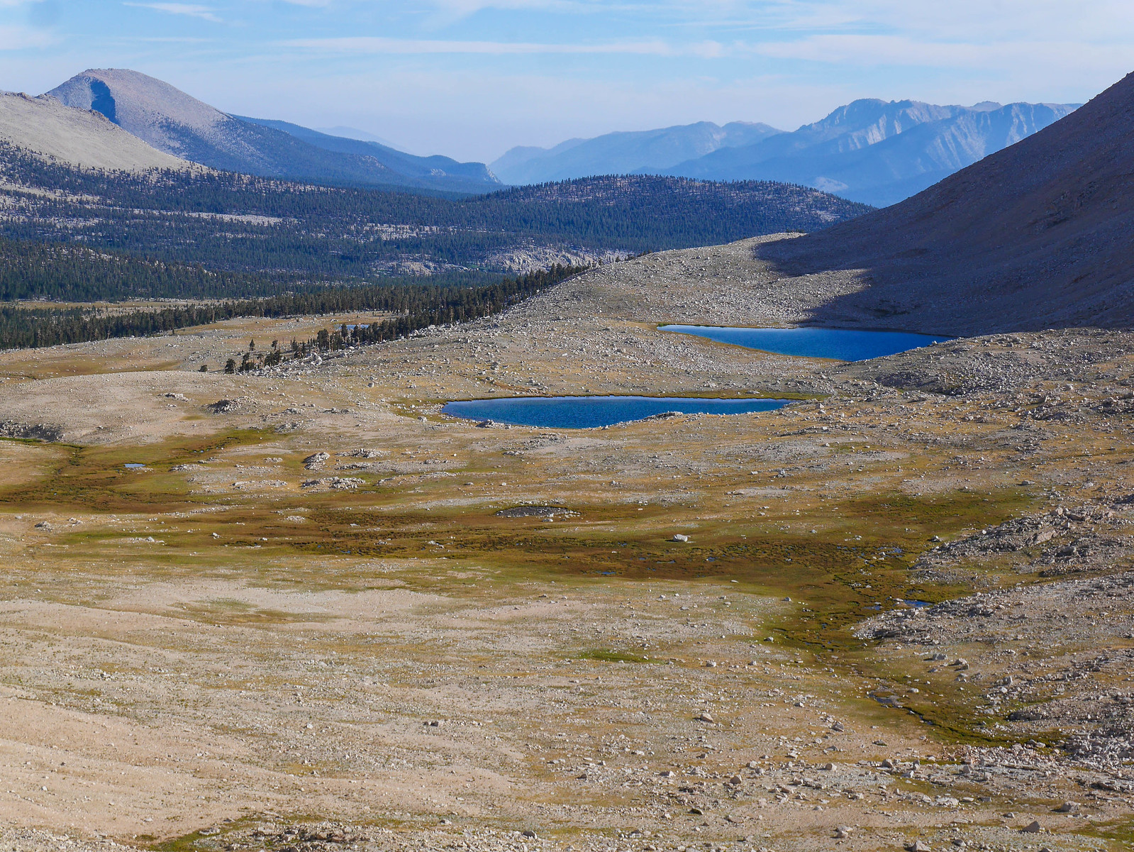
And indeed, after scaring a posse of deer in a wash along the way, I did find an excellent campsite down there. It had a very nice view north towards Rockwell pass. I set up camp and then went down to the lake to get water.
LOL joke's on you this lake is only full of bugs and goopy glops of plant matter since it's so shallow. NO WATER FOR YOU. So, I followed the shoreline north, then headed northwest-ish across what is probably bogland earlier in the season and found a running stream where I could get goop-free water to filter.
Before I knew it, the sun was painting the whole place with outrageously ostentatious shades of orange and pink. I mean really.
I zonked out soon after this, thankful for the journey to be over, grateful to be in such a place at such a time. What a day.
Day 4
Wright Lakes Basin to below Forester Pass
2 miles XC + 7 miles on trail, +2,300ft/-1,000ft
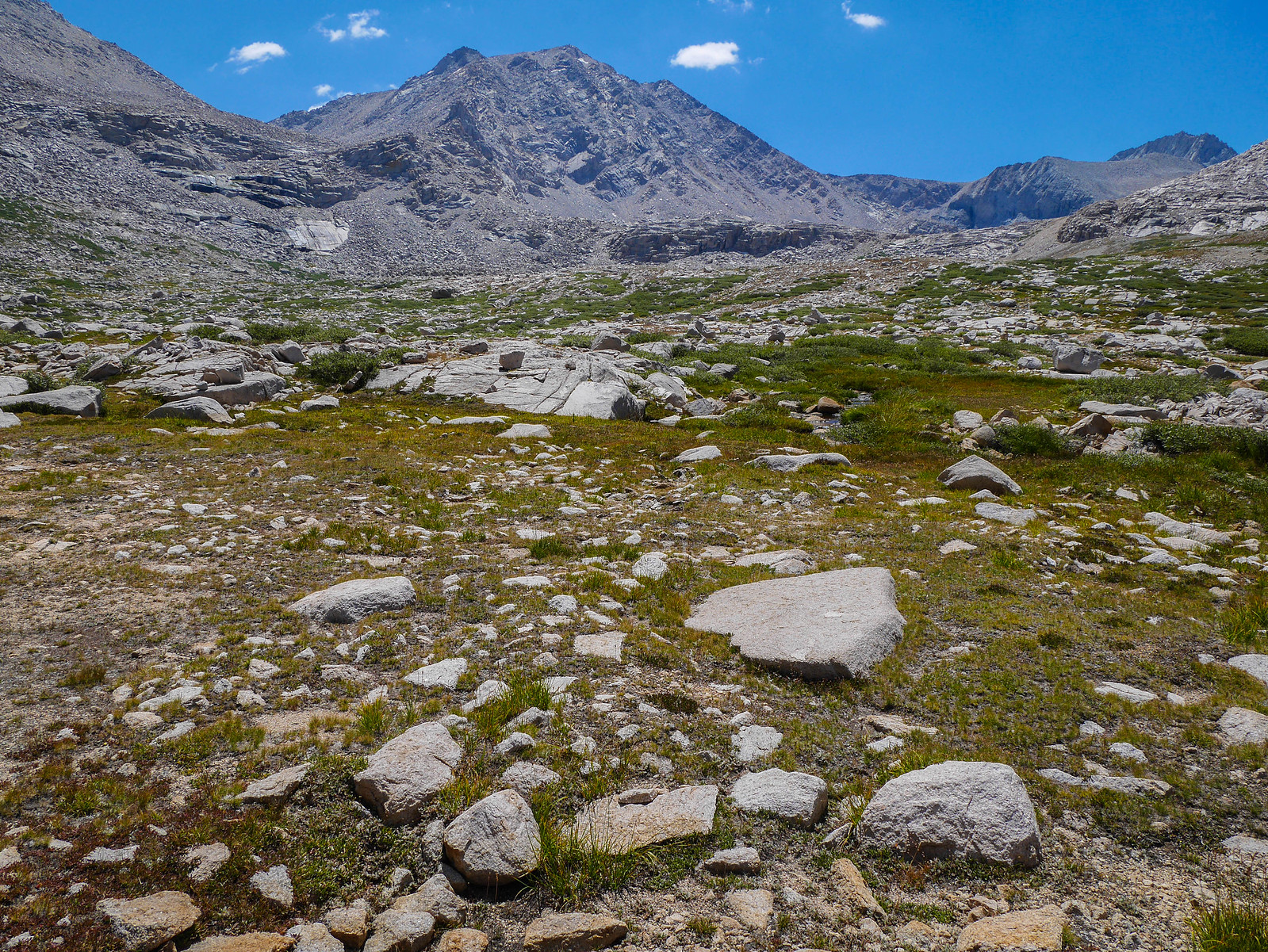
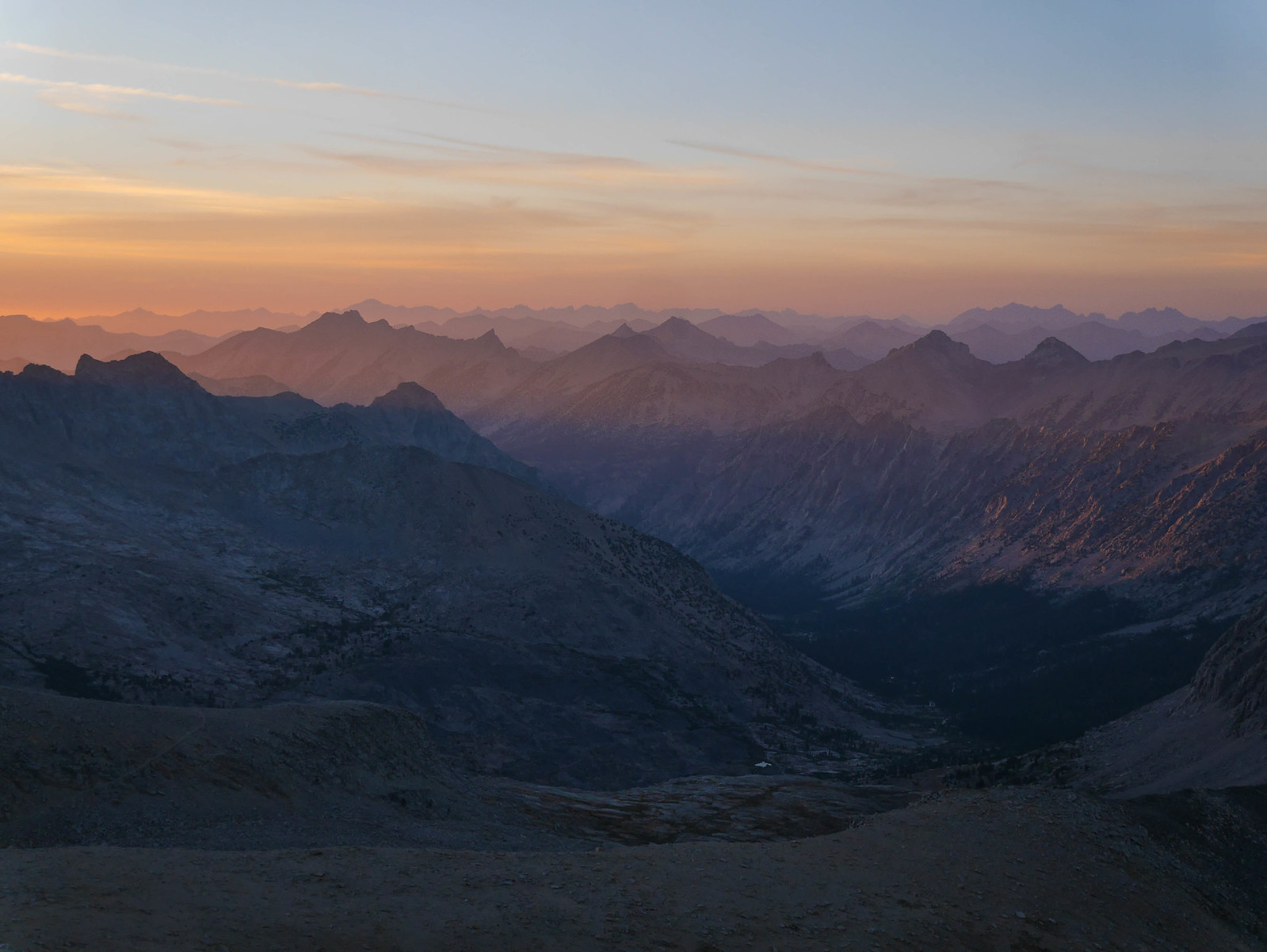
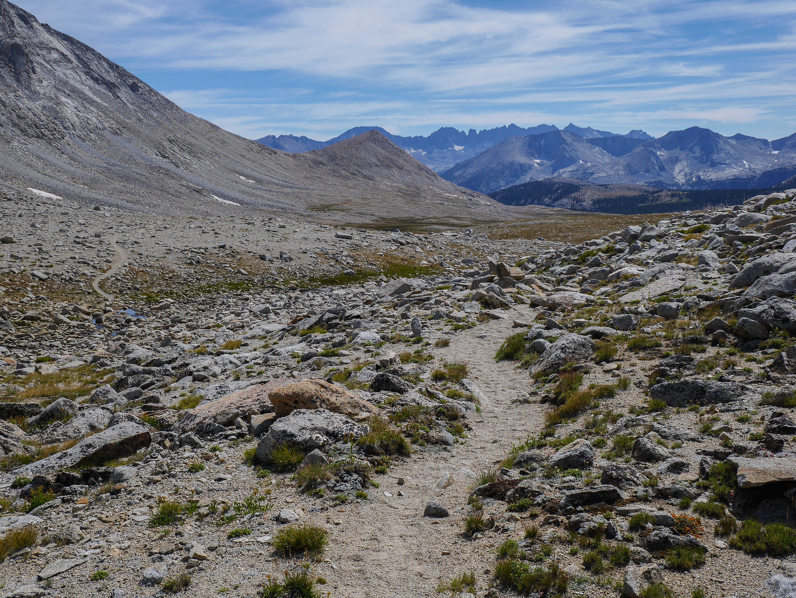
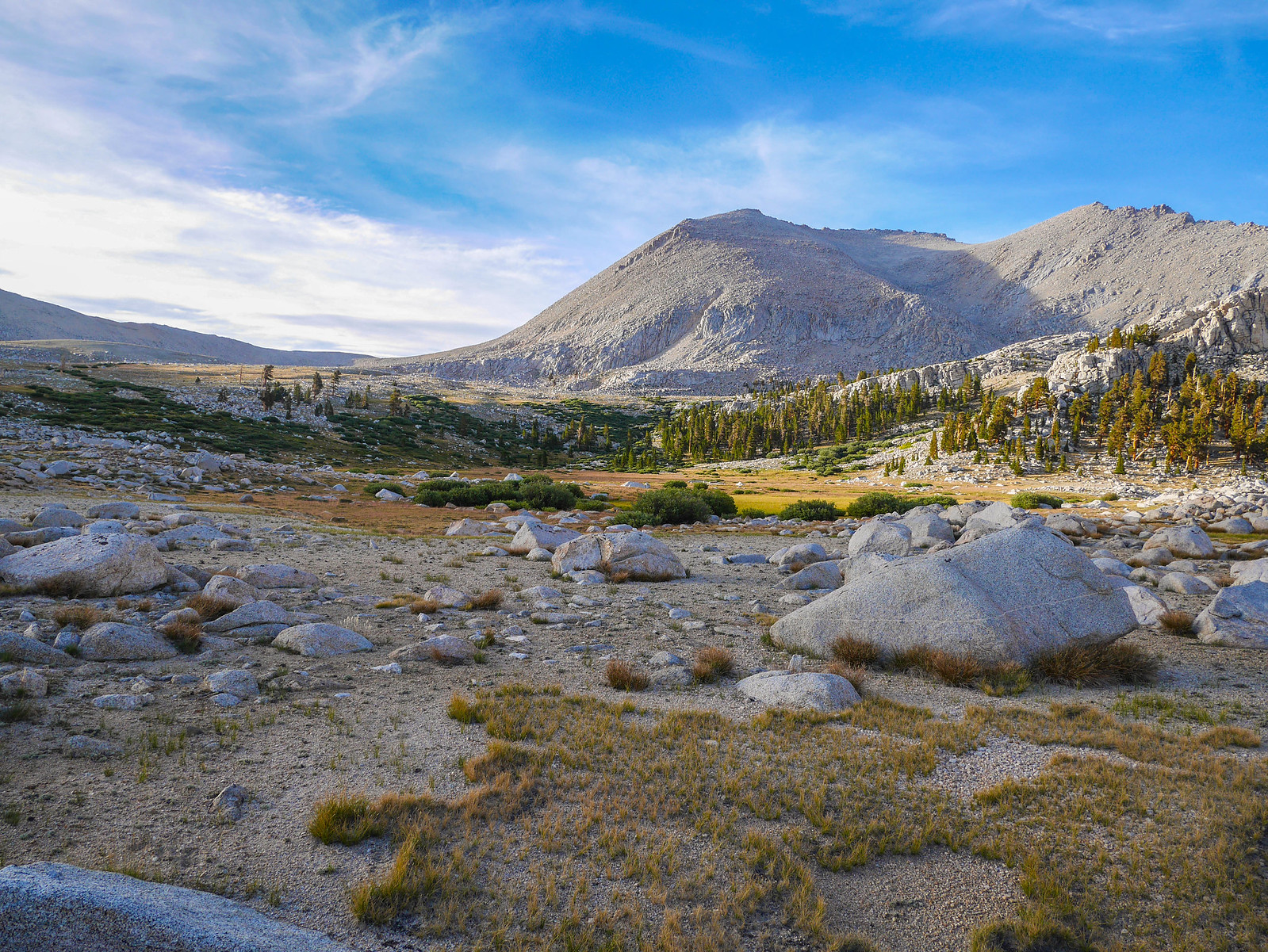
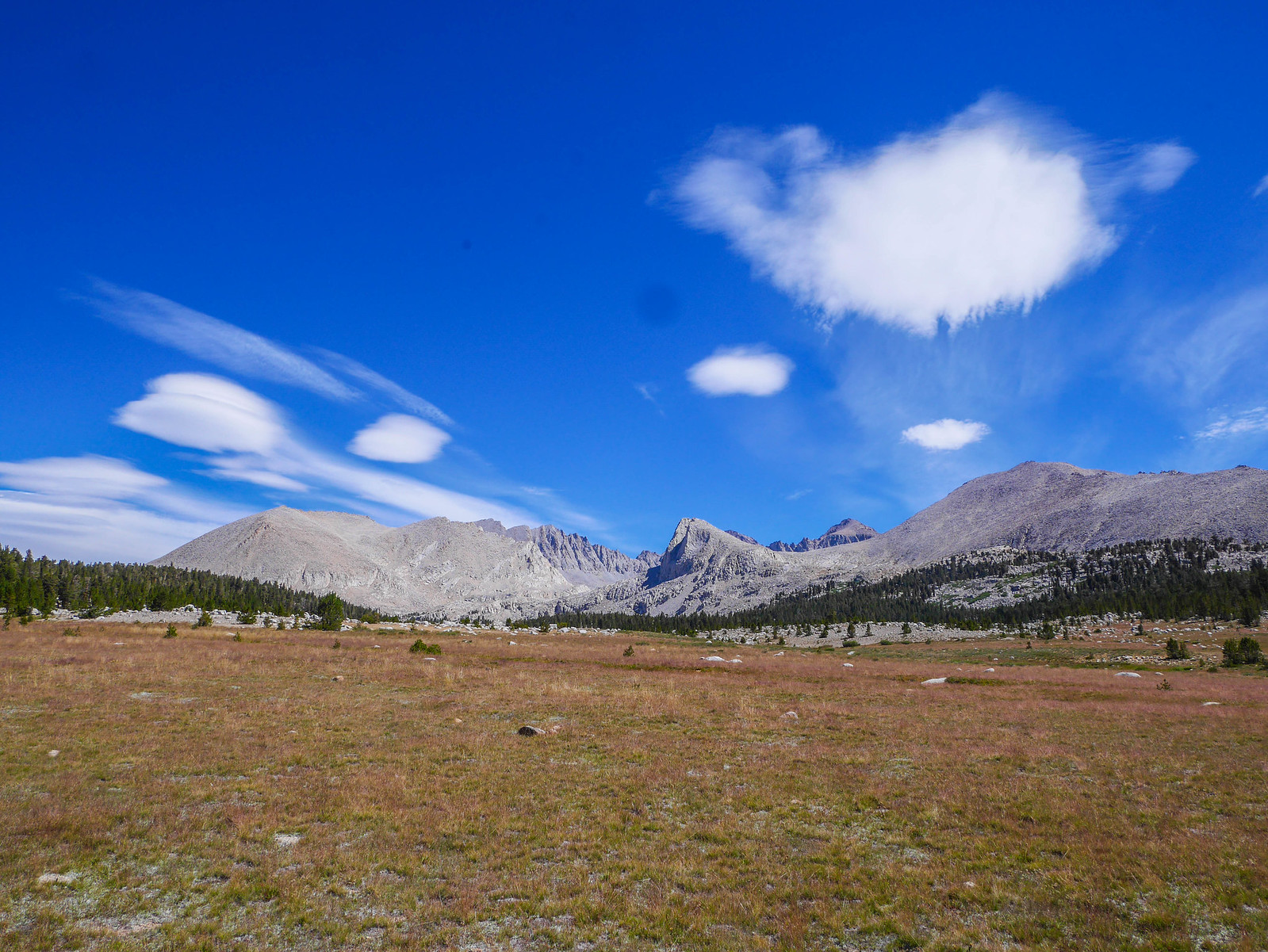
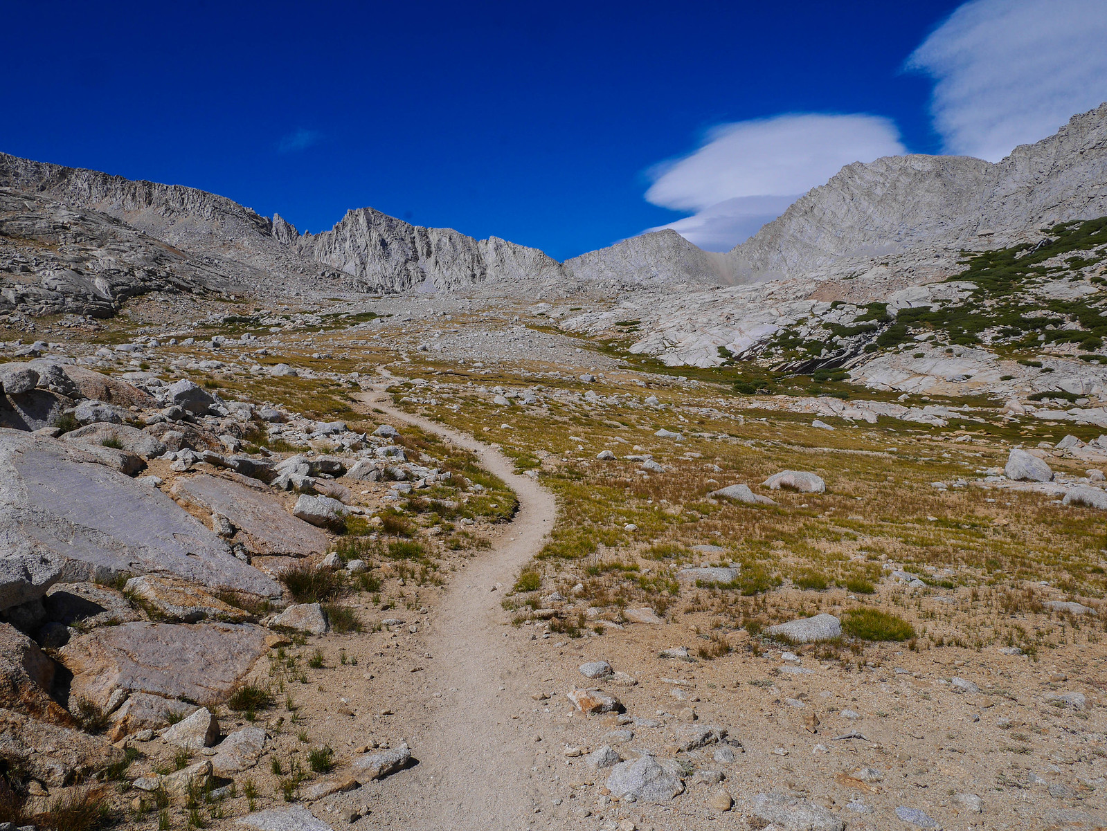
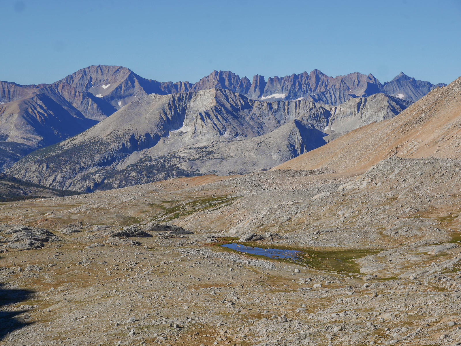
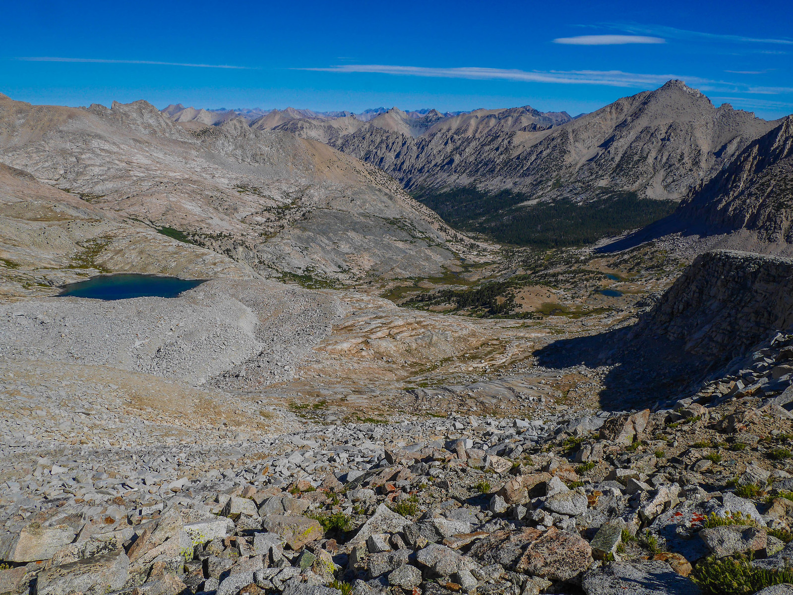
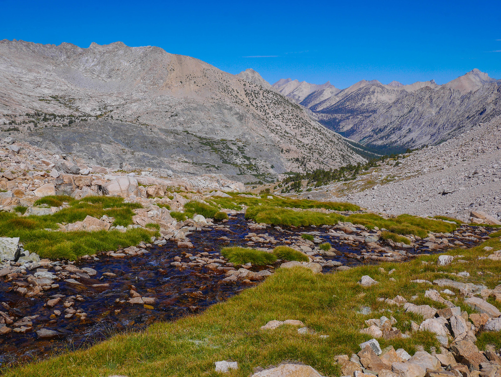
I slept in again. I have this problem frequently when I camp just west of the Sierra Crest. Even in August, it's quite chilly at this altitude and I don't feel like getting out of my cozy sleeping bag any longer than maybe to pee until the sun kisses my tent's silnylon skin. Plus this day I knew wouldn't be too hard---I just had to descend Wrights Basin across the Bighorn Plateau to meet up with the JMT/PCT, and then follow that highway north as far up Forester Pass as I felt like.
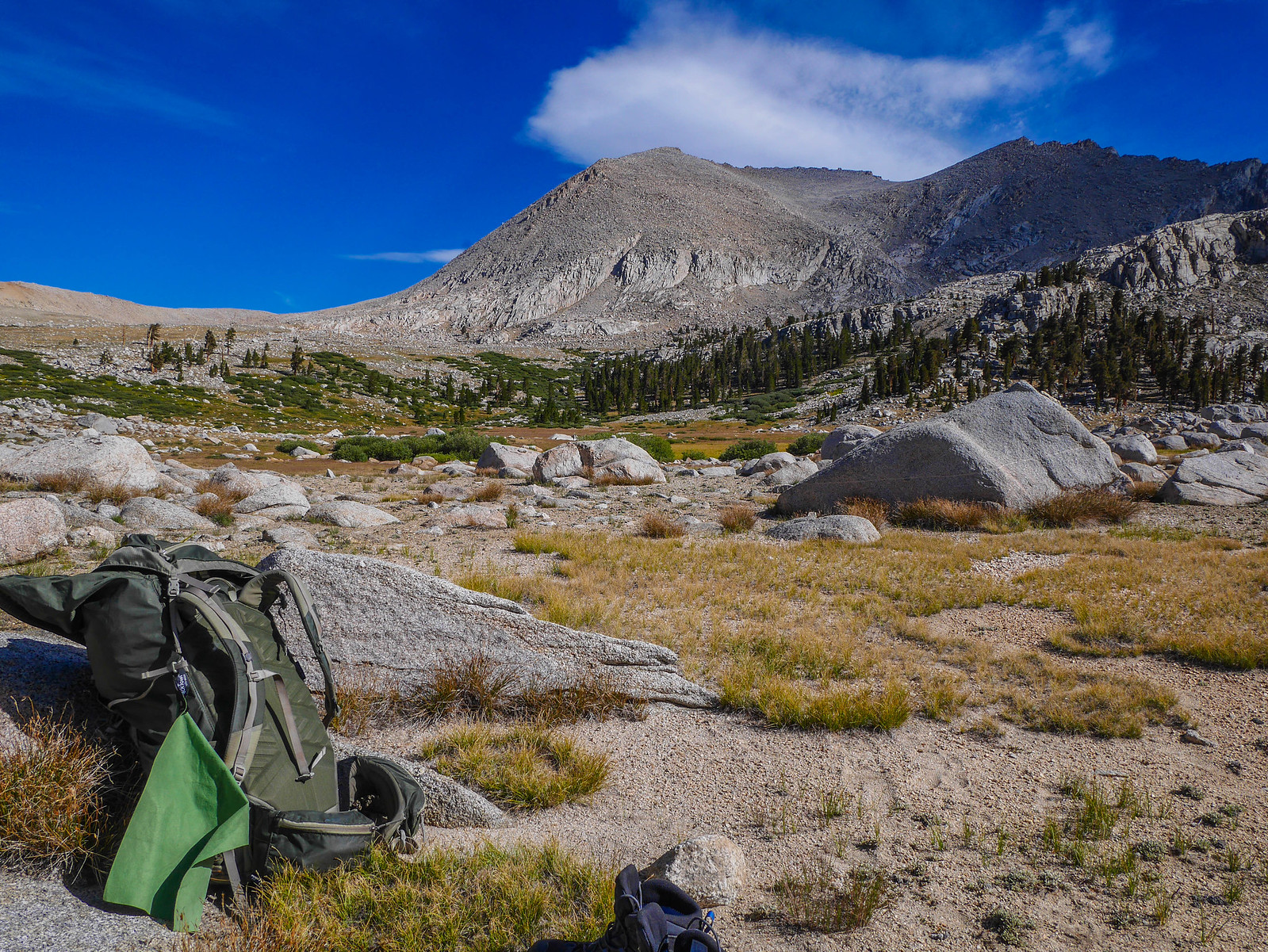
I ended up hitting the trail around 10am. I just love this area so much. It's this high plateau below 14k peaks to the east and with a pastoral feel and then 13k peaks across to the west, and between the plateau and those distant western peaks is the Kern Canyon, over a vertical mile below.
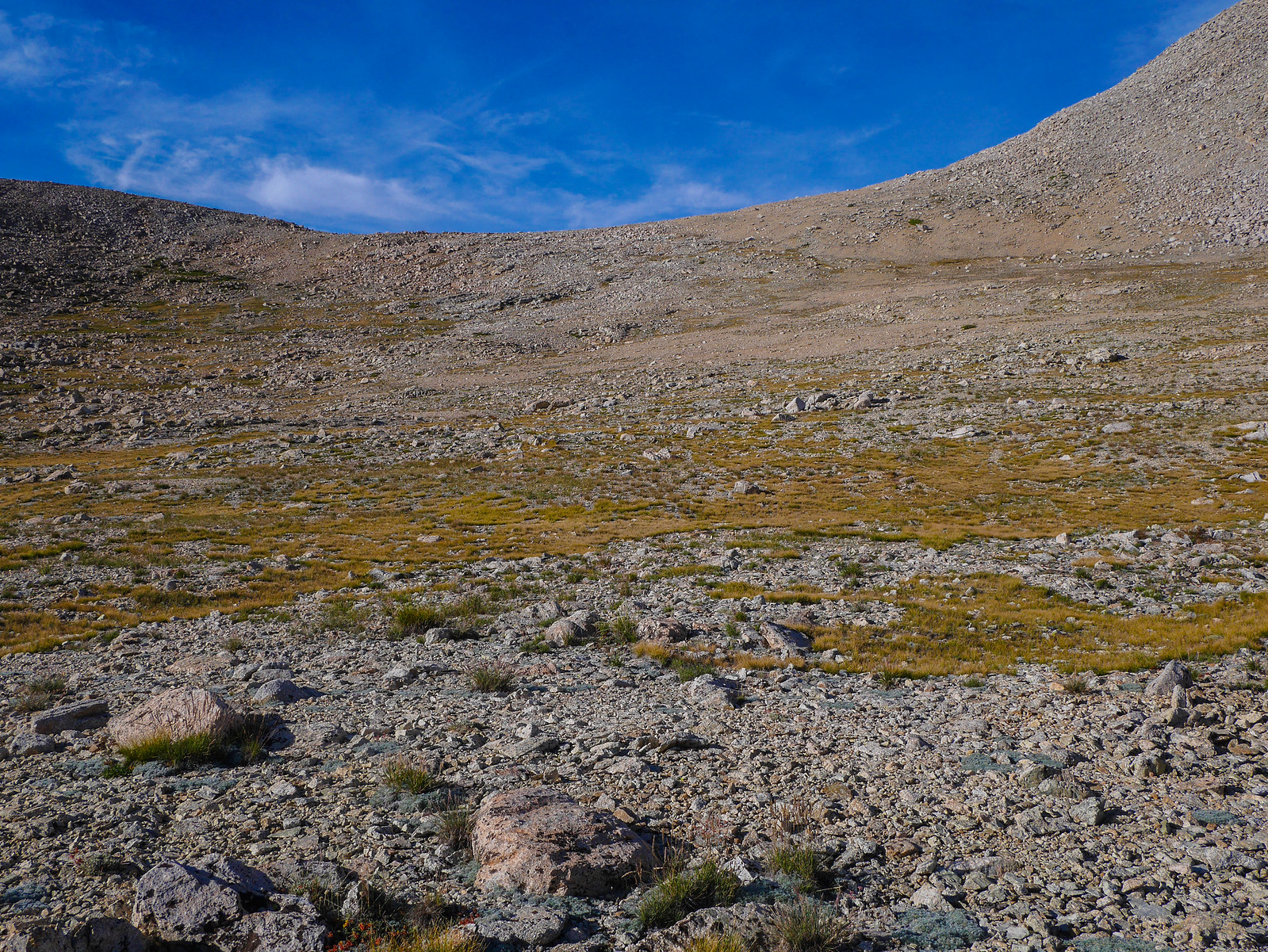
Descending across the open basin was easy.
I had one final look back up at Tyndall and Williamson (they look so different from this side!) and then trudged on to find the JMT/PCT.
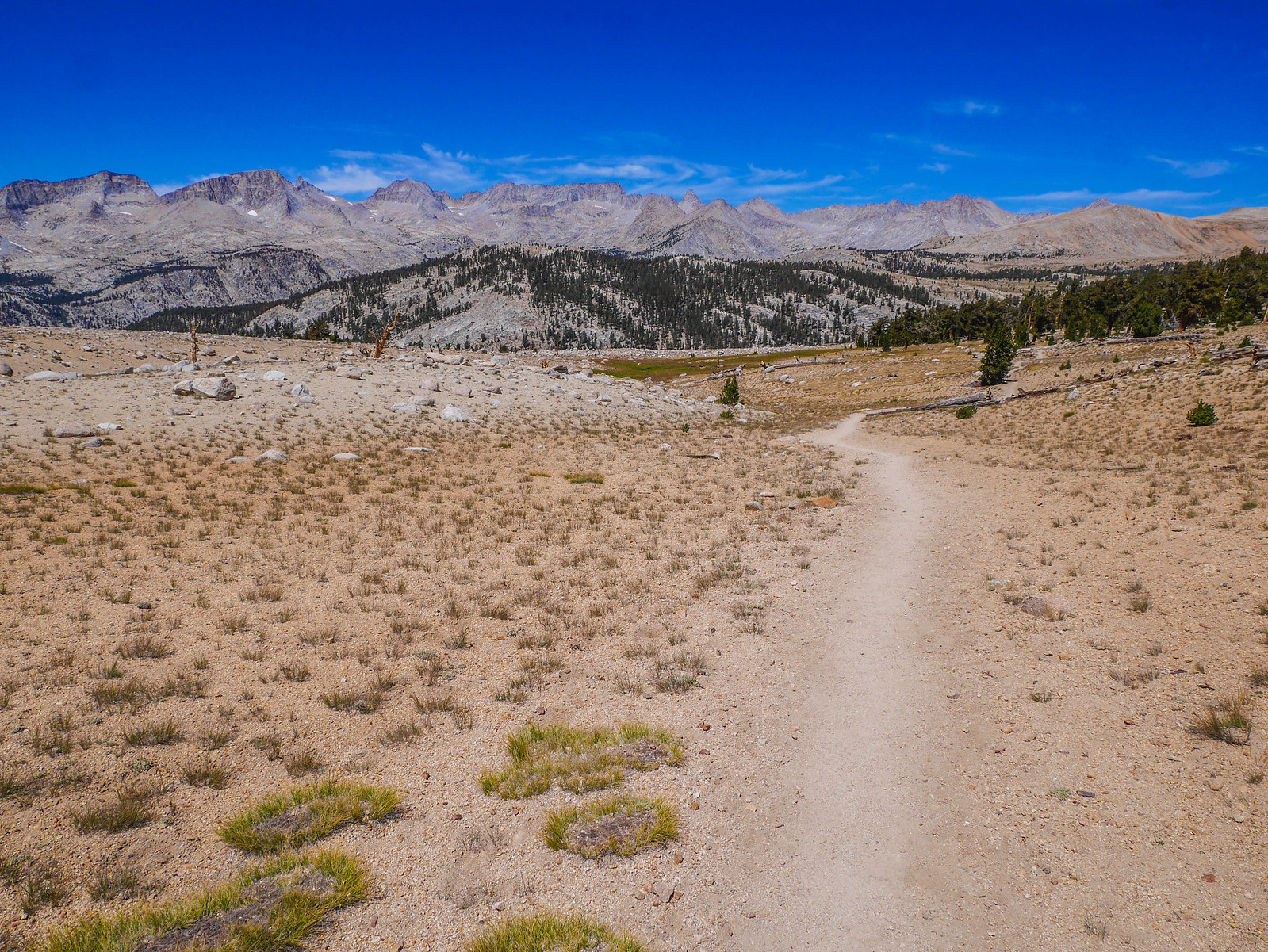
It wasn't long before I found the JMT/PCT highway and headed north. Even though this area crowded, it's still beautiful with gorgeous open forests and well-graded trail travel.

From the top of Bighorn Plateau I had a view towards Mount Whitney (center, the flat guy!), the highest point in the lower 48.
The JMT/PCT descending from Bighorn Plateau doesn't disappoint either. I planned to follow it down into the canyon you can imagine exists between where the trail disappears and the forested slope opposite rises up.
This whole section is stunning. I get it why people hike the JMT. But it's just not for me. I thought I was lucky to only encounter a dozen or so people on this segment. Some people hike for the hiking community, some hike for solitude. I guess I'm somewhere in between. I love feeling like the only person for miles. But I also am happy when I come across another person of a similar mindset. The thing that bugs me is when I see huge groups of people, several per hour, or just endless couples every five minutes.
The main thing that frustrates me is some people's lack of understanding of how to respect the land and the enjoyment of others. The more and more social media gains popularity, the more I see people acting a fool in the backcountry. I want to believe that they don't mean it, they just never had a good mentor. It troubles me a lot, I don't know how to solve this problem. In the last 10 years I've noticed a marked increase in detritus (including toilet paper) along the trail, people camping where they shouldn't (on meadows, close to water, etc), and people seeming like they were totally out of their physical comfort zone because they underestimated what 10 miles and 3,000 feet elevation gain means when you're wearing a 30lb pack at 8,000 feet.
If you're a person who knows things, please please PLEASE take your friends kids cousins along. Please please PLEASE talk as much as you can about LNT principles and why they exist, etc etc. It's on us. Let's do what we can. That includes you, if you're reading this. Do your research. Find a friend to mentor. Take a class. Recognize that you're not (and I'm not, nobody is) special. This land belongs to all of us and we need to respect that.
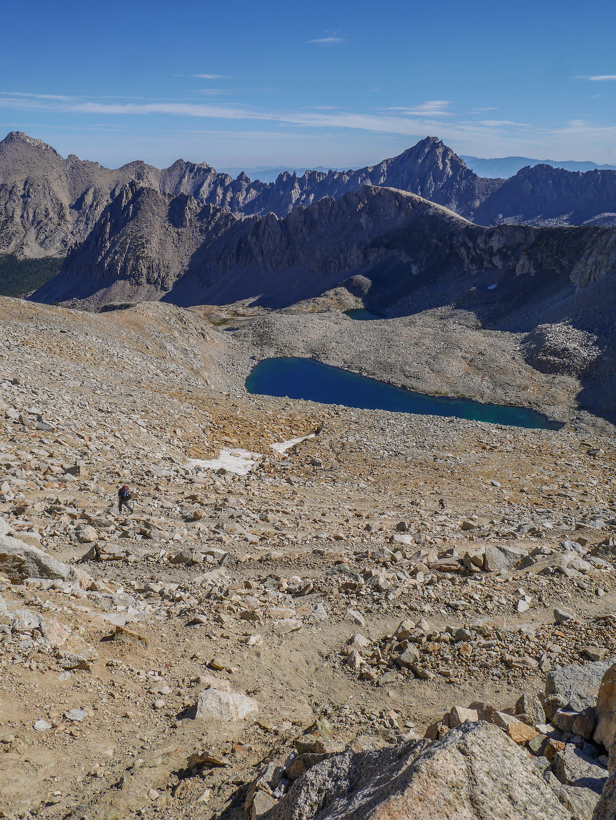
Wow ok anyway why are you still reading this??? Here's a marmot I met! Don't worry, I zoomed in to this crack from very far away. This was after I'd crossed Tyndall Creek and begun the ascent to Forester Pass.

From partway up the climb towards Forester I had a great view of Tyndall (the peaky peak center left) and Rockwell Pass (the sad measly looking gap towards the right).
Roundabouts here somewhere I passed a pair of hikers who were super friendly. We chatted a bit and they told me they were section-hiking the PCT. We talked about how far we thought we'd go today and concluded we'd both end up around the base of Forester. I pushed on, leaving them behind for a while.
The JMT/PCT is graded for long-distance hikers and pack teams, so climbing up to Forester seemed a piece of cake compared to what I'd been doing.
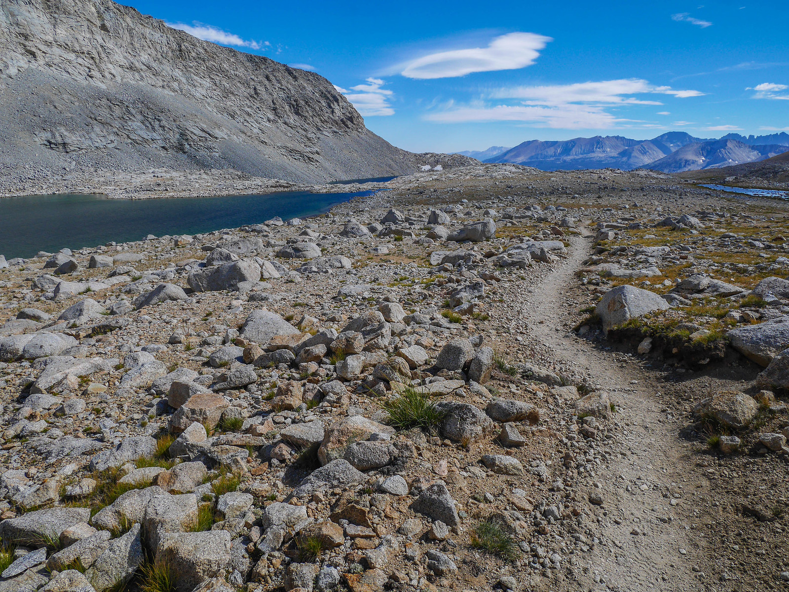
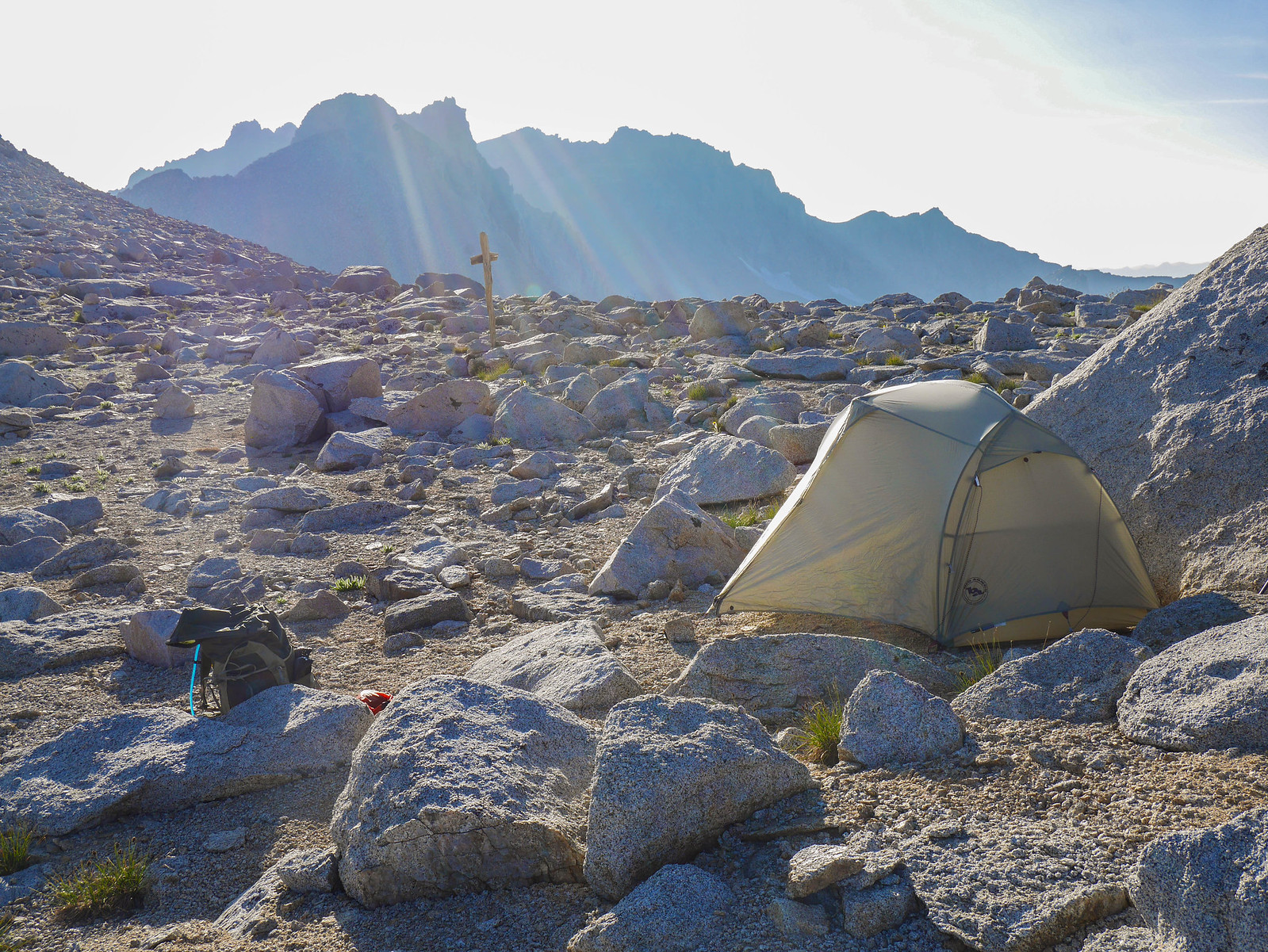
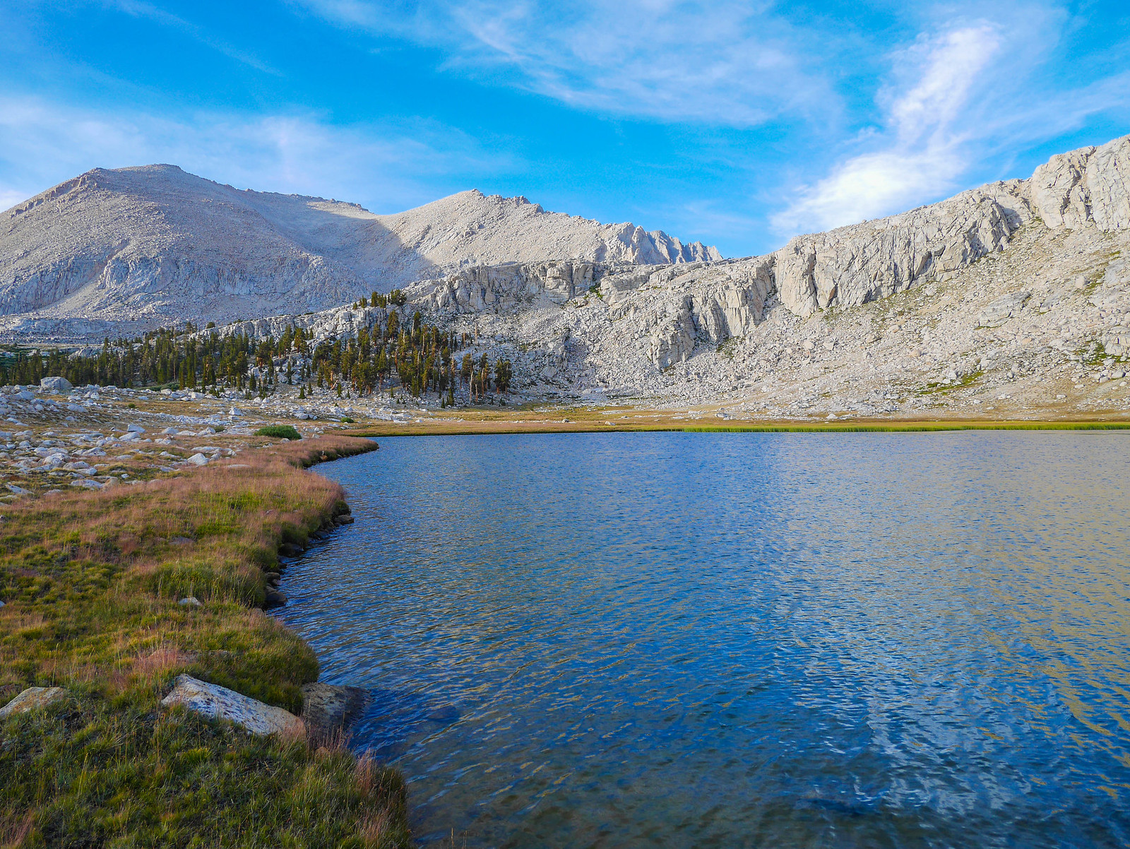
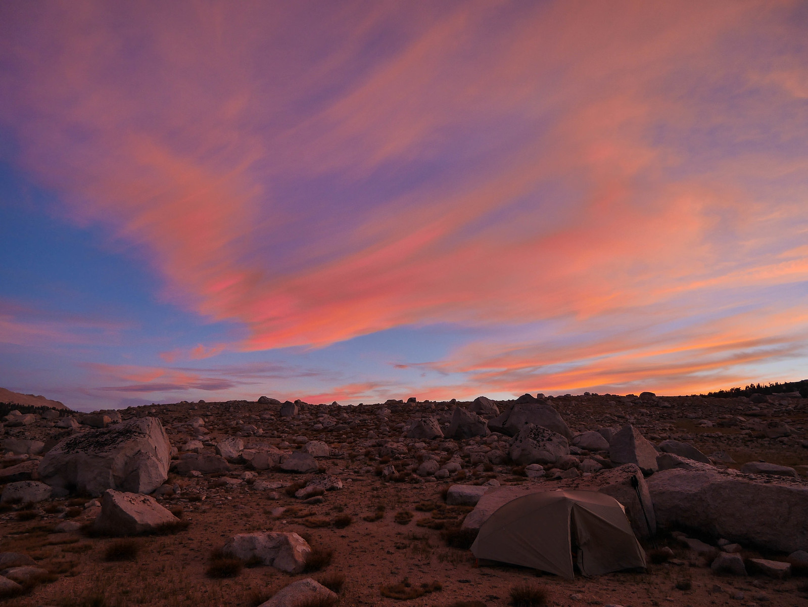
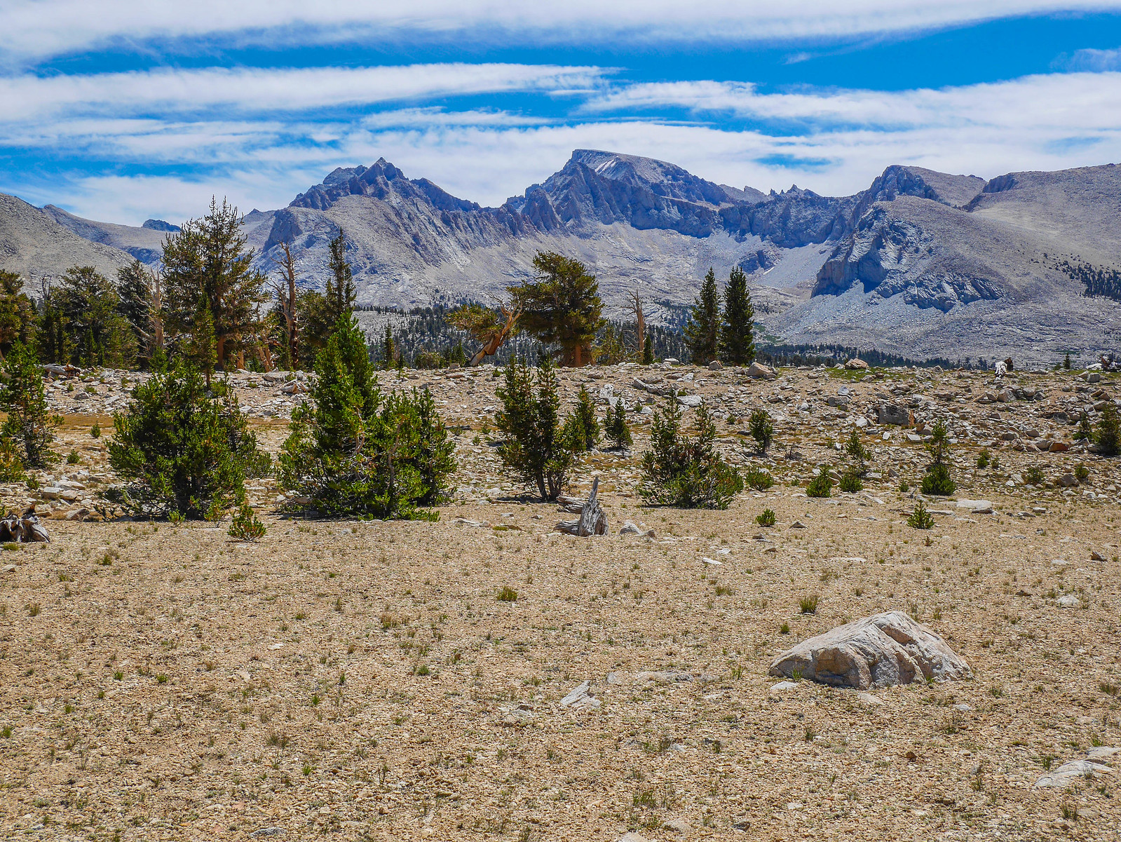
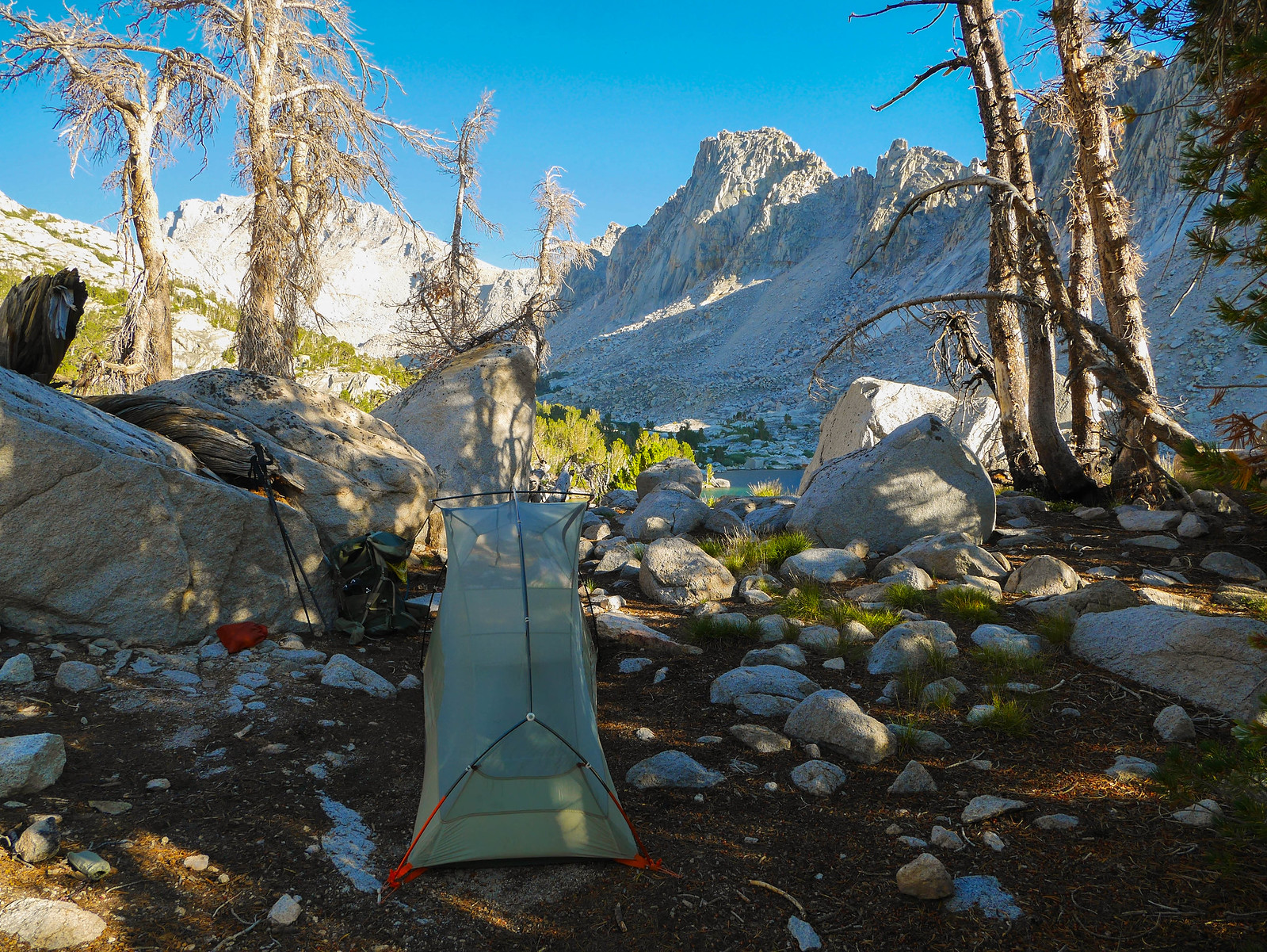
It was easy going and before long I found myself at the base of the final climb. I decided to set up camp near the last of the tarns on the way up to the pass. There were a couple unappealing bivy sites right along the trail, but I ventured a bit off towards the west and found a sheltered and secluded spot where I didn't encounter another soul until the following morning.
Can you spot my tent in the photo below? Hint: it's the thing that looks like a boulder.
I did the usual camp stuff of getting water and making dinner, poking around here and there, and then tucked in to bed after watching a magical sunset and moonrise.

Day 5
Forester Pass to Kearsarge Lakes
12.5 miles on trail, +2,400ft/-4,000ft
The next morning was cold, as I'd slept at about 12,500 feet. I got going before the sun warmed my campsite (GIVE ME A MEDAL PLEASE TY) and had a magical view of the Kaweahs as I ascended Forester Pass. As I climbed, I noticed some hikers ahead of me. When I caught up to them, I realized it was the same guys I'd chatted with the day before. I greeted them and then kept hiking on, eyes on the prize.
The trail up to Forester Pass is an amazing feat of engineering, constructed by the WPA in 1930. A memorial documents some sad history to this part of the construction that you can find with a quick google, so I won't rewrite it here. I just hoped not to repeat it myself.
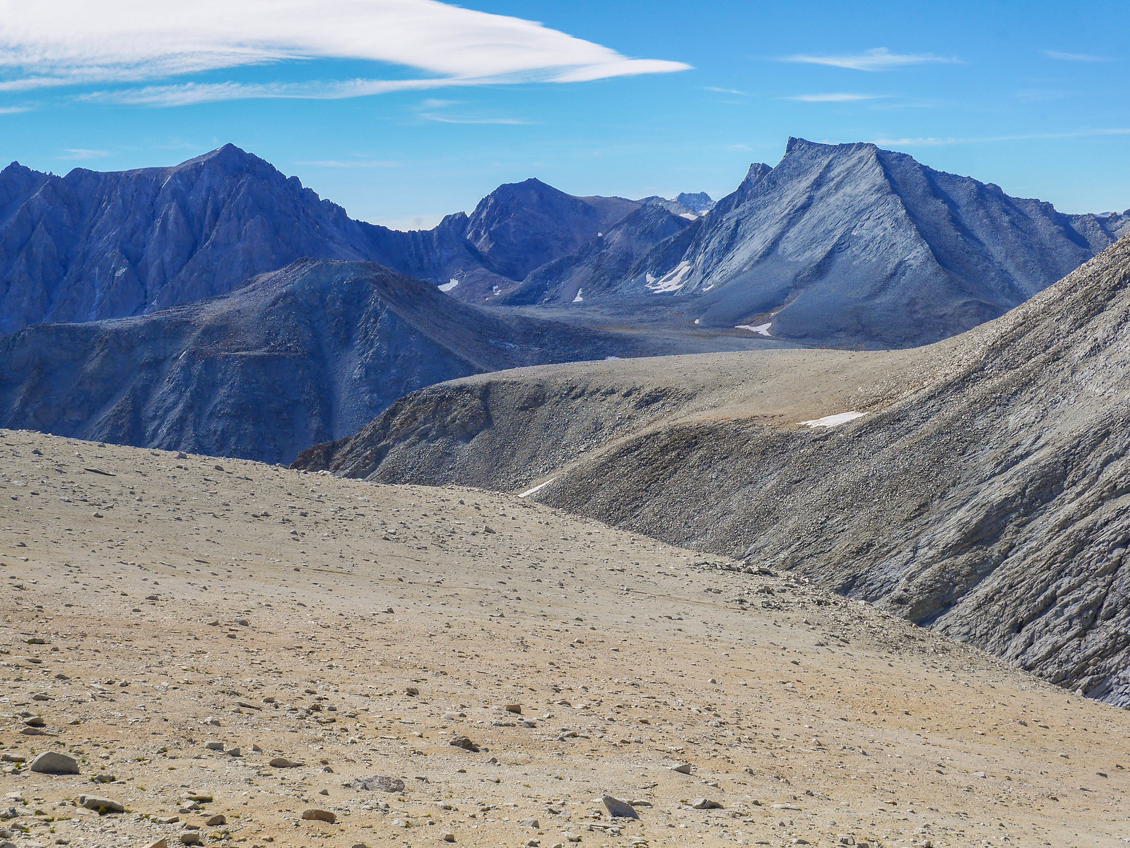
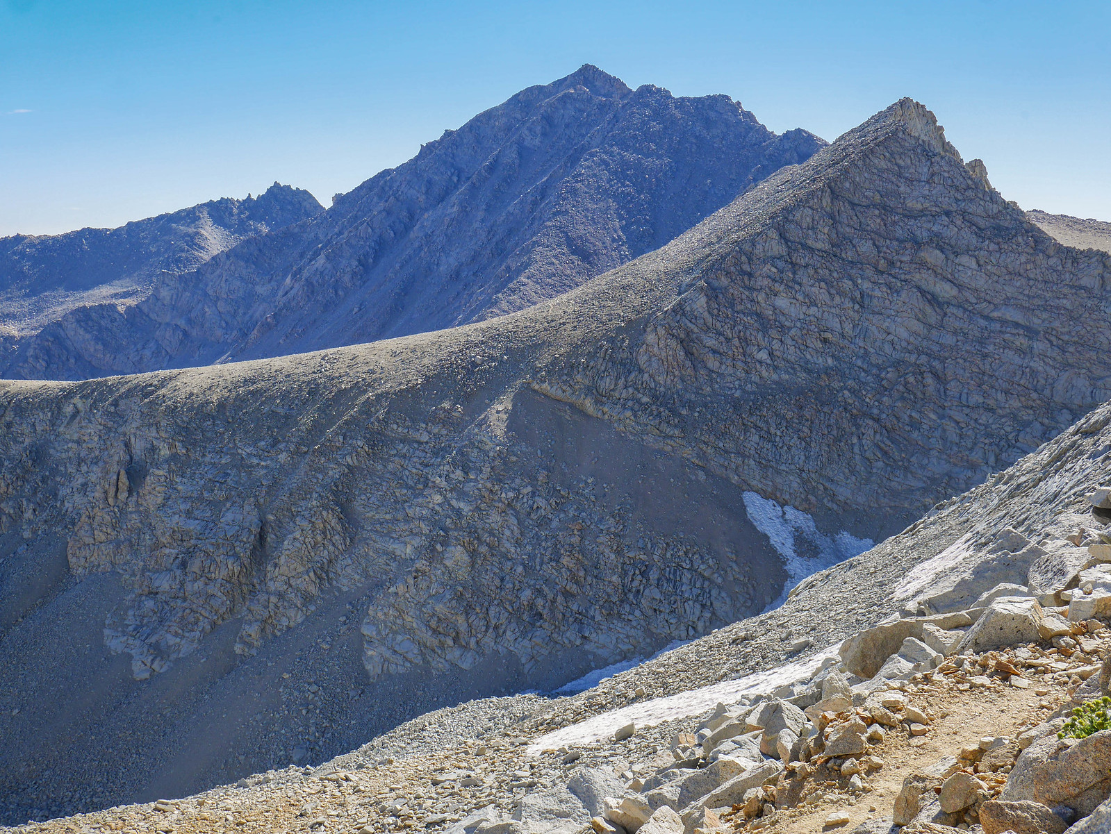
From the top of the pass I could see the saddle area I'd ascended to a few days prior. It's the ridgeline area above the steep cliffs above the lake to the right of the frame. It looks so small from here, but remember that I took this photo from 13,150 feet. I also met up with the guys from the previous day here. We got to chatting and I started to understand a small bit of why people are interested in the "trail community" I guess.
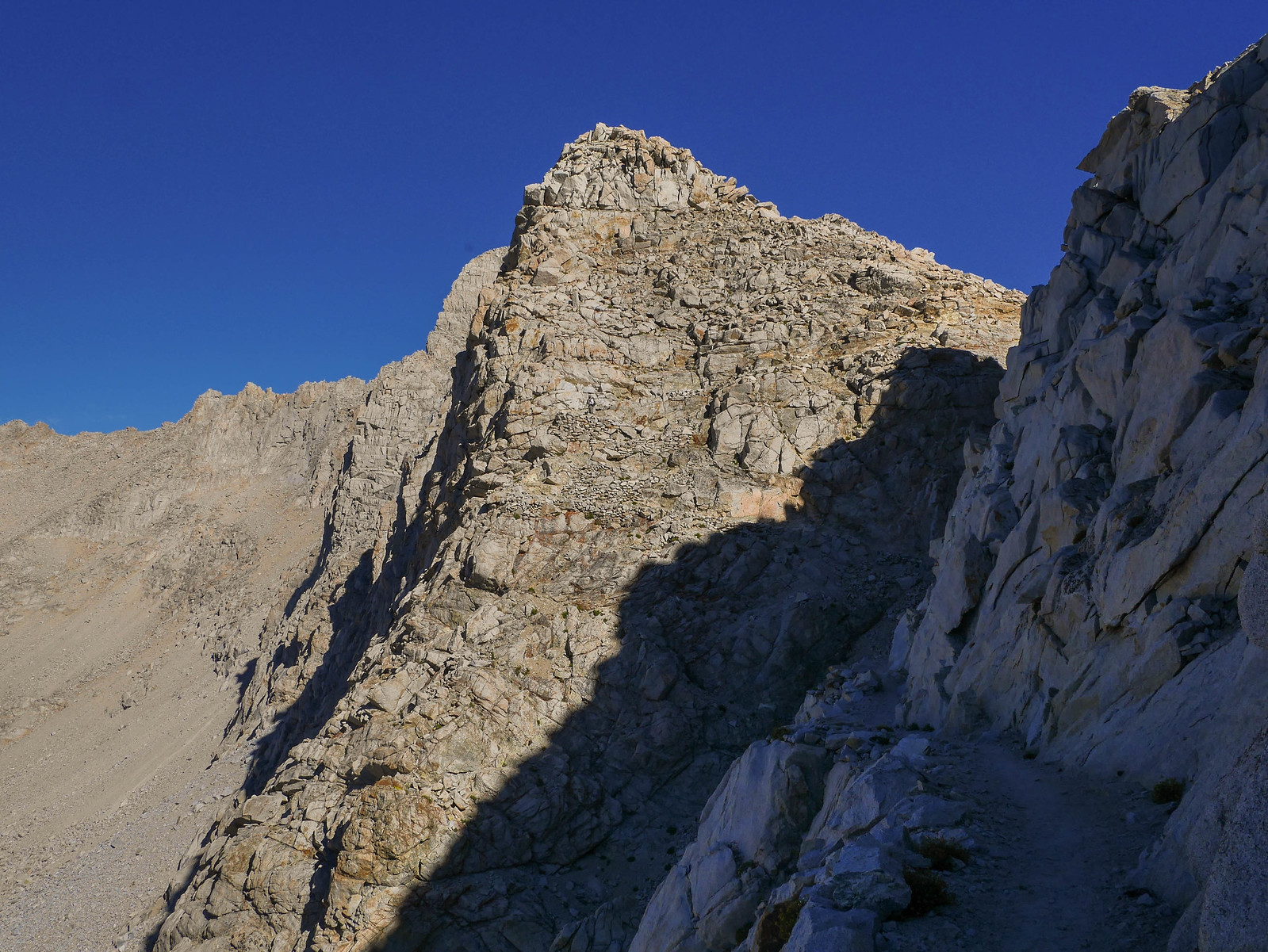
As I descended north from Forester Pass I had amazing views of the saddle ridge and talus slope that led up to Junction Pass. Junction Pass is between the light-colored pointy peak in the foreground and the darker raggedy peak in the background.
Descending further provided yet more views up to Junction Pass, now seen as the low point above where the flat cliff face ascends.
And again! The giant peaky peak on the right is Junction Peak, then there's a valley and then another unnamed peak. A bit left of this peak is where I'd camped two nights prior.
But now the task was to descend descend descend along the JMT north. I wasn't sure how far I'd make it, but I really wanted to see Kearsarge Lakes since I'd skipped them yet again on this trip over Kearsarge Pass. So, I hustled down down down the Bubbs Creek drainage, stopping every five seconds in the beginning to step aside to let southbound JMT hikers climb up to Forester. You do know that uphill hikers (and drivers) have the right of way, don't you?
I managed to snag these next two decently cool shots of my trail buddies hiking along the ridgeline below Forester Pass. Having other humans in frame I hope gives a sense of scale.
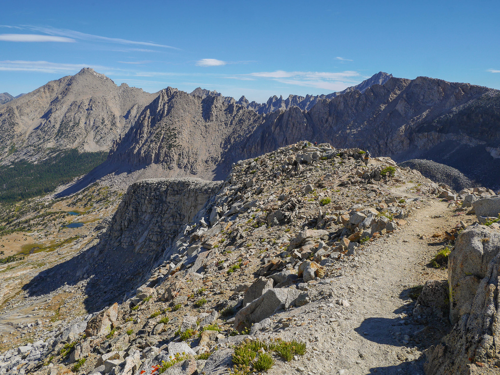
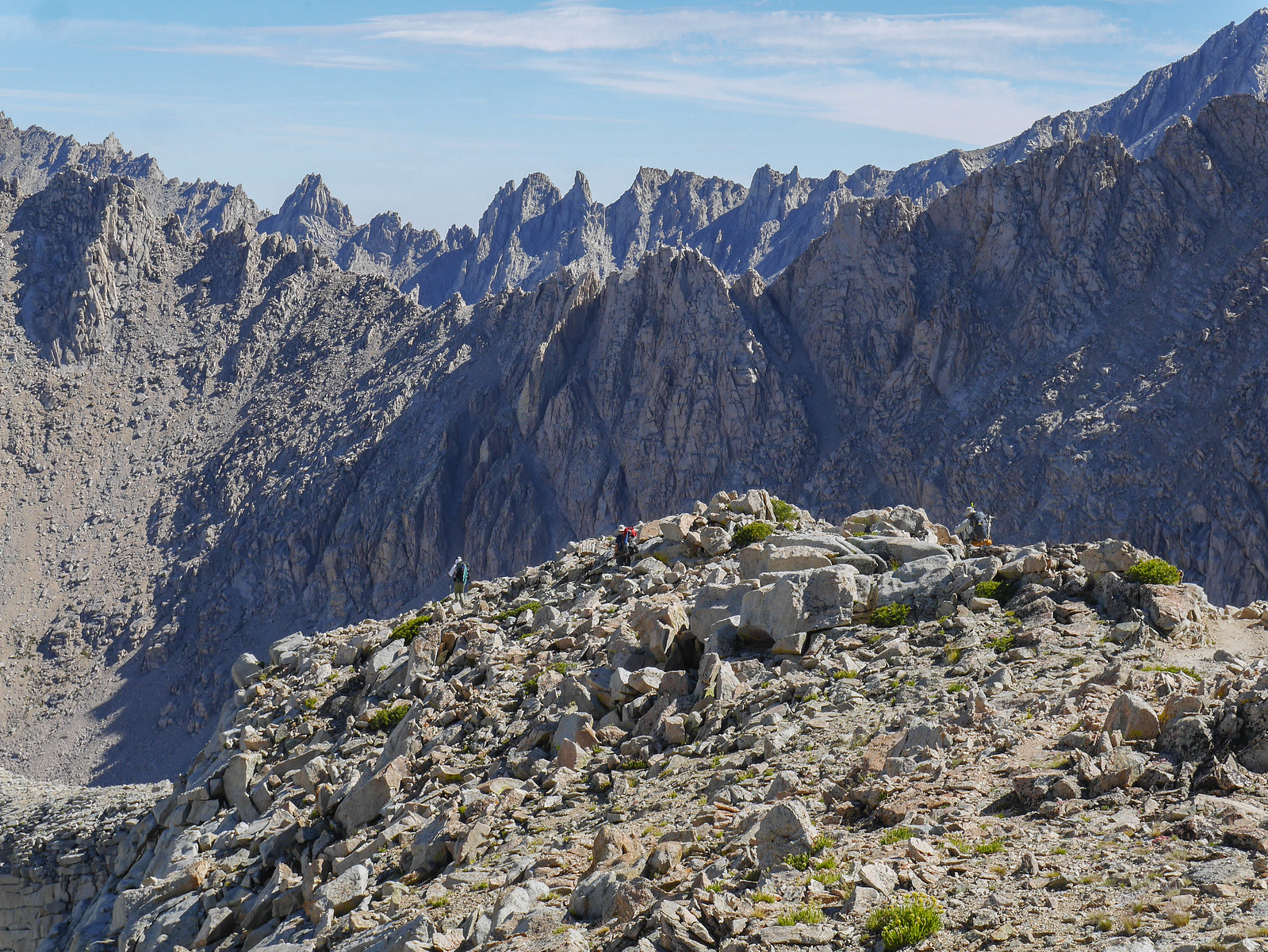
After this hogback portion, the trail cuts back south to a tarn and then sharply north above another tarn before descending through some impossibly beautiful meadows. It was truly gorgeous. However. However.... I was descending in the mid-morning, and literally dozens if not hundreds of people were ascending southbound on the JMT towards Forester. This made me turn on my mile-eating machine and just motor on down as fast as I could. I knew that these Disneyland lines of JMT hikers tend to aggregate in packs, all of them having the same groupthink about where's the best spot to camp before the next day's climb and so on and so on.
I was right. In the 2.5 mile stretch between Forester and the plateau around 11,200 feet I saw maybe a hundred and fifty people, but in the 6.5 mile stretch between this plateau and the junction with the Bubbs Creek trail (that heads west to Roads End), I saw maybe a half-dozen people. This confirms my theory that it's very possible to hike these popular trails and still find some solitude. You just gotta plan for a different pace and camps than the usual ones.
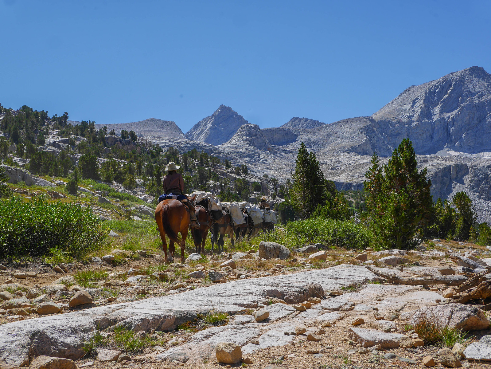
Round about here, after passing what seemed to be the last of the JMT hikers, I stopped for a snack break. While I was resting and eating, a pack team headed up trail.
Remember those trail buddies I'd mentioned a few times? We had sort-of informal plans to exchange email addresses so I could send them the photos I'd taken of them, but they were quite a bit behind me. After descending the 3,600 feet from Forester Pass, I was in the forest and nearing the junction with the Bubbs Creek trail. I decided to stop for a break and see if the guys would catch up. I waited for two hours and they never showed. I gave a message to a passing hiker headed southbound to tell them that I planned to camp at Kearsarge Lakes and hit the trail again. I was faced with a 1,500 foot climb over 3 miles out of the valley and it was almost 4pm, so I headed off again.
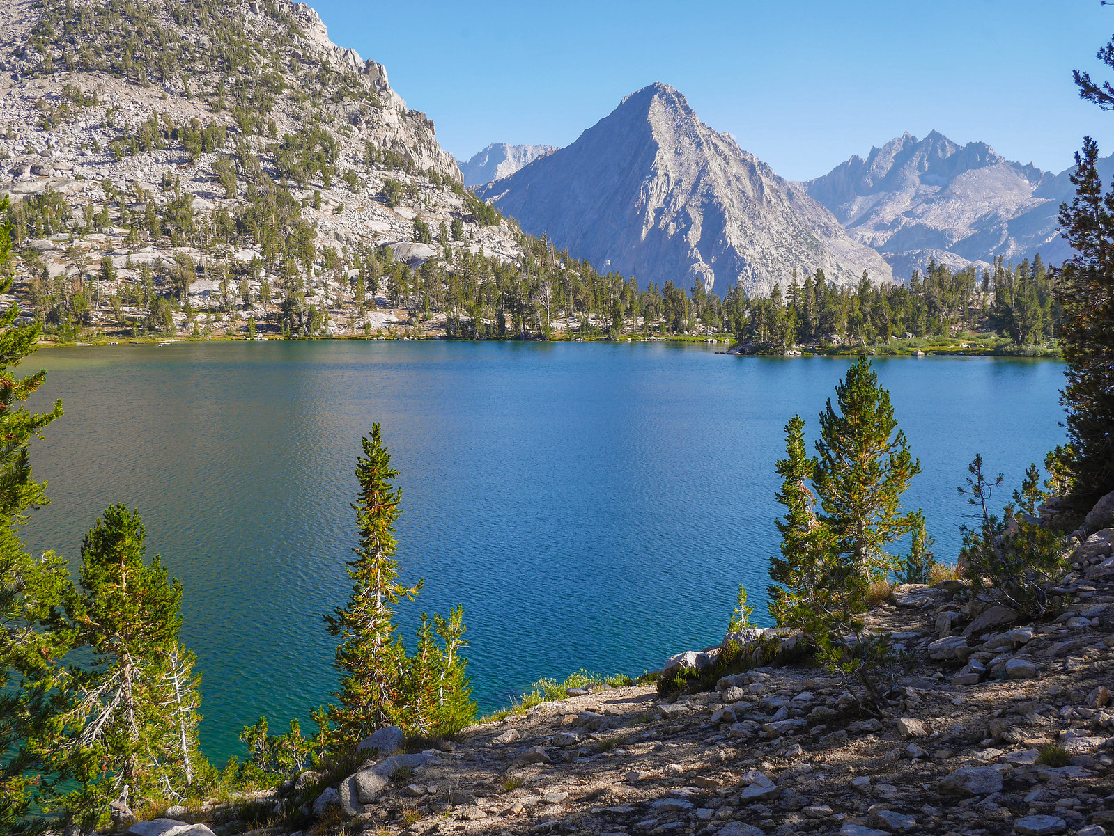
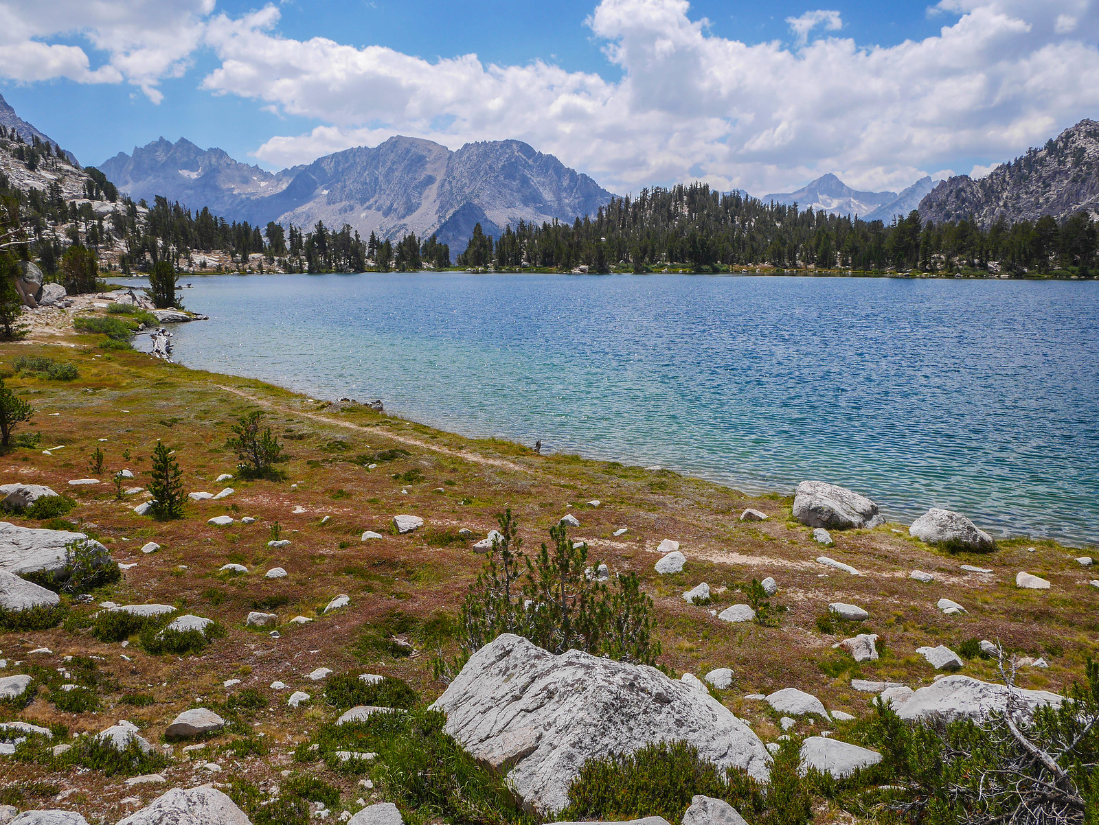
I reached Kearsarge Lakes around 5:15pm and set about looking for a campsite. Wow, there were a ton of campsites and they were all occupied! I headed farther round the lakes to the third one closest to the pinnacles, and then climbed up a little saddle to find a flat spot to pitch my tent. I made some dinner enjoying the view and then crashed.
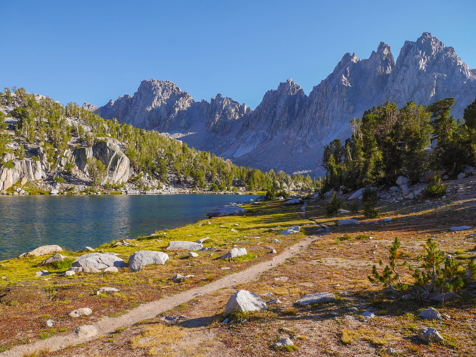
Don't worry, those dead trees look like they could fall on my tent but they were actually farther away than they look here.
Day 6
Kearsarge Lakes to Onion Valley
6.5 miles, +1,250ft/-3,000ft
The last day! All I had to do this day was climb up to Kearsarge Pass and then descend down to Onion Valley.
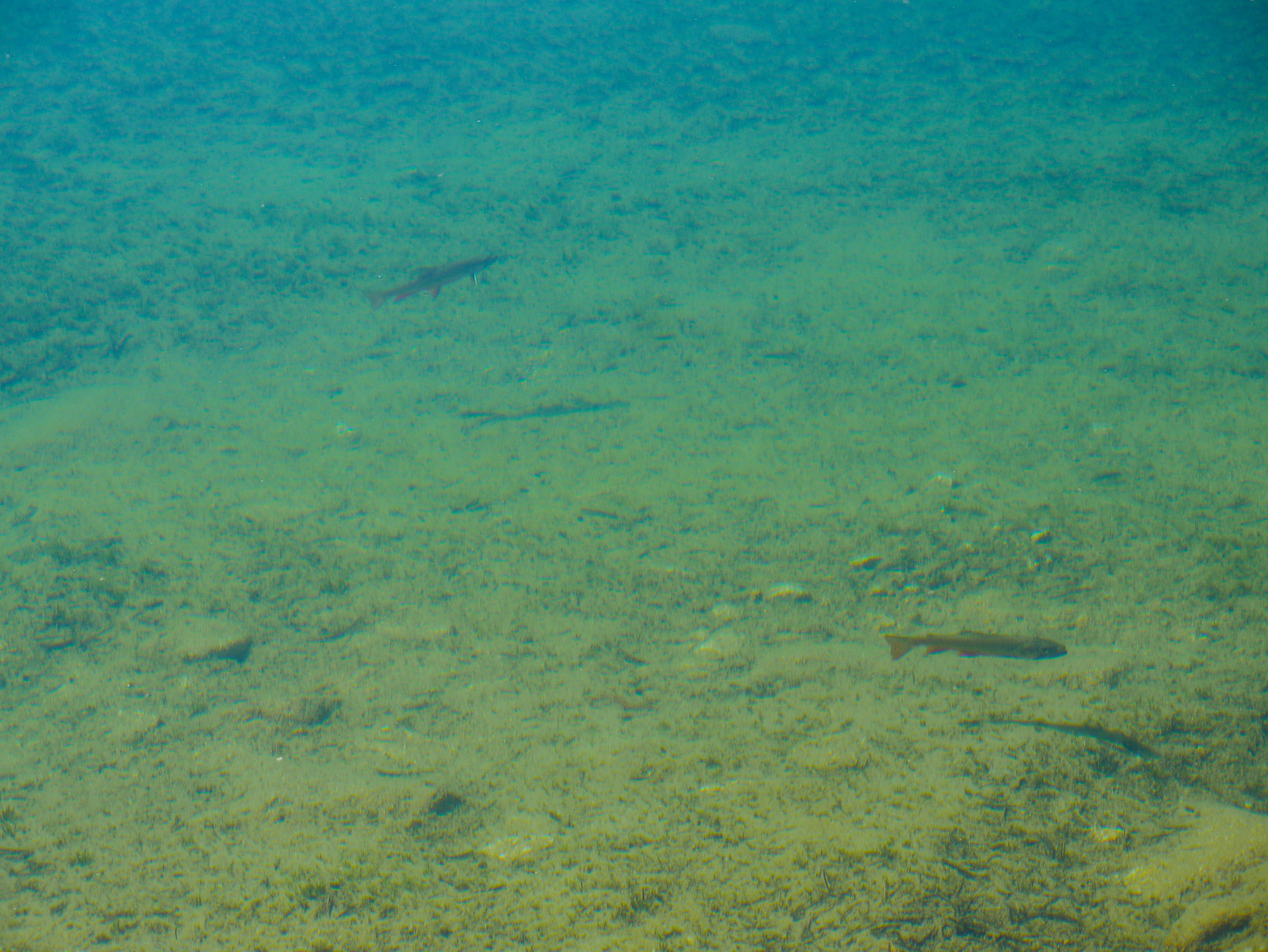
When I filled up my water and saw some fish in the lake.
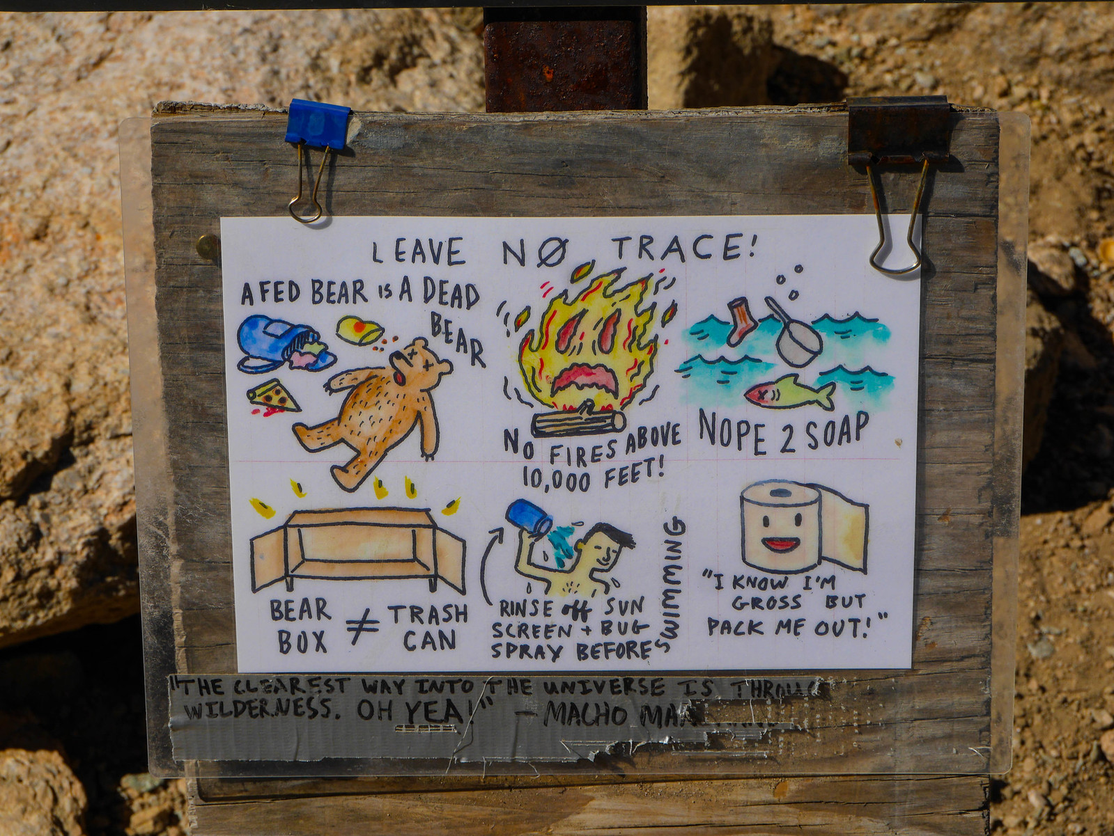
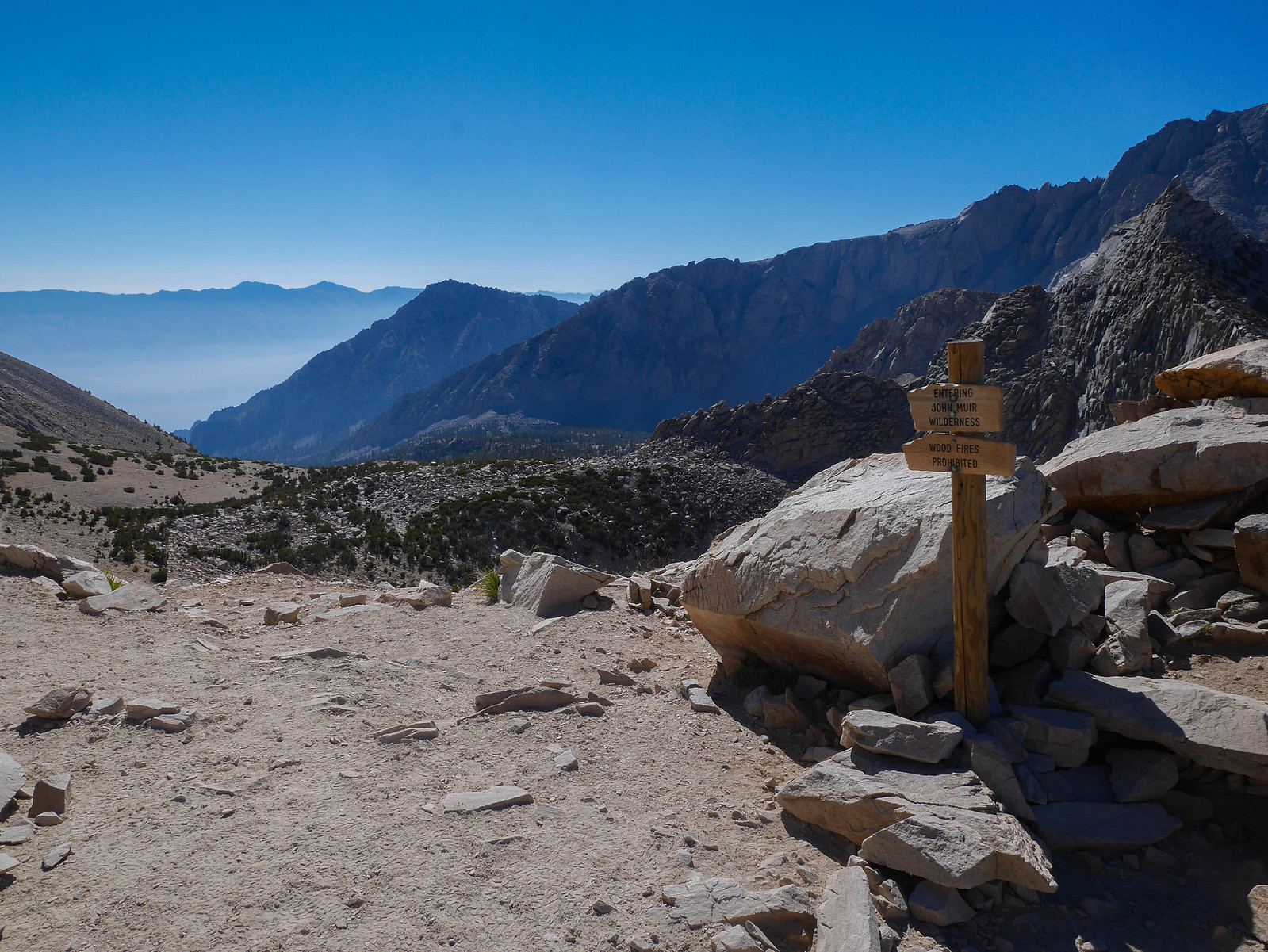
Oh and also someone made these little signs and left them on most of the signposts in this area. Thank you anonymous person! No thanks to the knob who graffitied misattributed John Muir quotes on duct tape below most of these.
[url=https://www.flickr.com/photos/99703682@ ... 114299118/" data-flickr-embed=true]
On the ascent to the pass I was catching up with some people who turned out to be my trail buddies from earlier! We hung around the pass for a while together and two of them took my contact information, promising to text me so we could meet up for a beer in the bay area sometime. Spoiler alert: they never texted! Maybe they'll find this blog post someday.
[url=https://www.flickr.com/photos/99703682@ ... 114299118/" data-flickr-embed=true]
I was back at my car by noon and nomming on a veggie burger and beer in Bishop by 12:30pm, then hit the road home! Amazing trip.
[url=https://www.flickr.com/photos/99703682@ ... 114299118/" data-flickr-embed=true]