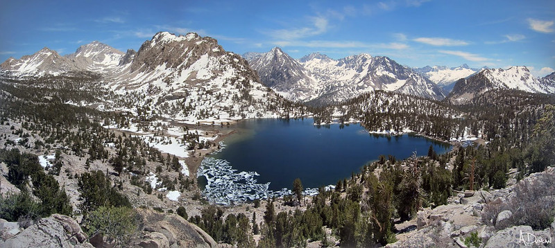
Golden Staircase - Mather Pass - S fork Kings - Lake Marjorie
12.6 miles
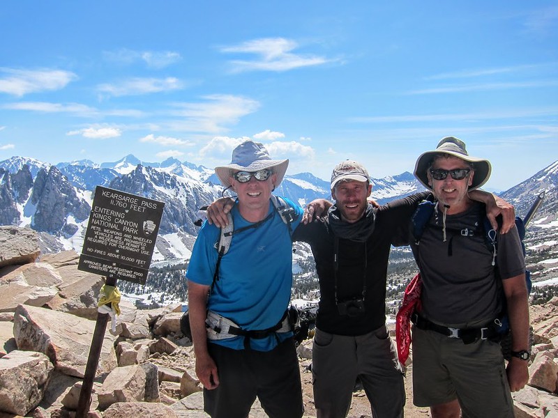
Tenacious D!
Ok, to fill in some of the back story, David had neither an ice axe, trekking poles or traction. What he did have was a pair of La Sportiva mountaineering boots and skills ie he knew how to flat step and had great balancing technique on steep sections of snow & ice. He told us trekking poles were only used by the elderly & infirm ... at least in his neck of the Czech woods. (He owns a B & B literally on the edge of a national park that straddles both sides of the German/Czech border.) As for ice axe & traction, I think he assumed there weren't going to be any technical sections. That was generally true, except for Mather, Glen & Whitney.
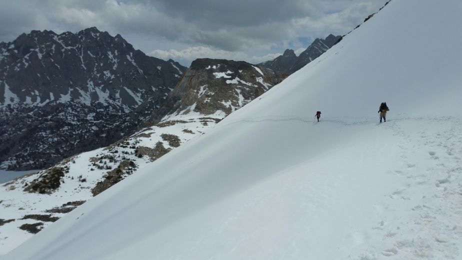
Czech balancing act
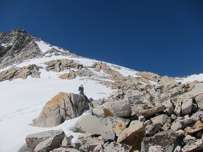
What Andy's (or anyone's) photos don't convey is how steep the north side of Mather was - easy 50+ degrees - but this was only the warm-up act. David was fine on the ascent - it was steep, but manageable by being very careful & deliberate. The south side was an entirely different story. I took a quick look both ways, saw the cornice, and then saw some boot tracks leading on an angle to the west. Andy was a few seconds behind me, looked to the almost sheer cliff on the east and asked how we were going to get down. I chuckled and pointed west; still super steep, but doable.
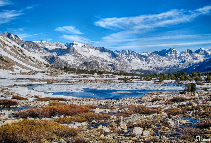
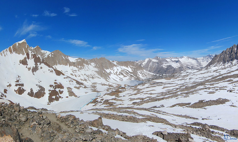
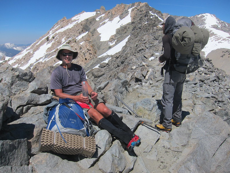
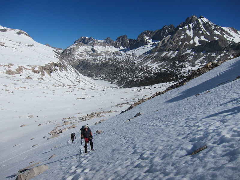
But, first we deserved a break to eat some snacks, drink some water, and enjoy the fantastic view from the top of the pass looking both back towards Palisades lakes canyon and south toward the Upper basin. To be out in the type of alpine conditions like we were experiencing is really a unique life event. As we were hanging out having a pleasant time, a group of 4 PCT hikers popped over the cornice. They seemed a little stressed - lol - and to say they were surprised to see us is an understatement. Since they knew no one was ahead of them that morning, they didn't expect to come across some southbound JMT hikers kicking back enjoying themselves. We talked for a little bit, then they huddled up in their group while we got ready to descend.
OK, time for ice axes and a quick review on how to use the buried shaft as an anchor for each step. But what about David? I had used my axe & pole on Lamarck (Andy used both poles), but a slip/fall was 'only' a possible injury on the 40-45 degree slope with a 200'+ run-off. The north side of Mather was similar, but Andy & I both stayed with our poles. A slip/fall on the north side of Mather was a moving into more 'probable' injury, as it had exposed rock sections after 300'+ long run off.
However, the south side of Mather was moving past 60 degrees - maybe even 70. The run off was 500-600' (from 12,100 to 11,550) - say two football fields - with exposed rock fields at the bottom. IMO, a slip/fall on the south side without self-arrest was in the category of most definitely a major injury, with some chance of fatality.
One of my trekking poles was a whippet - it's really nice to have if for nothing more than the psychology of having a pseudo self-arrest feature while hiking on snow/ice. It's not really supposed to be your primary life-line like an ice axe in steep climbing sections. However, the conditions were such that there was no way I was letting David descend without offering at least a pole. Since I had snow baskets on both of my poles, I took the basket off the whippet, collapsed its length, and handed it to him to use as an axe.
I quickly went over the anchoring technique on the uphill side, and how to bury the pick in the snow with one hand on the head, the other on the shaft, and your body hunched up over & hugging that sucker for dear life in self-arrest pose if you somehow fall. I then headed off leading the way, Andy second, David third. The cornice had a nice little notch where the PCTers had come over, so down we went. As can be imagined, it was a very slow, careful process. You must first probe ahead and sink/anchor your axe almost to the head, gripping the axe head with your uphill hand & using it like a handhold once the shaft is set. When you're set, you then very carefully take one/two steps forward/down. Steady yourself, pull out the axe, probe forward, sink it again, take one/two more steps. Your legs are stressing from leaning into the mountain, you must be extremely careful where to place each & every step, kick-in if need be, but make damn sure both your feet are stable & secure before taking the axe out and placing it once more ahead. And of course, DON'T LOOK DOWN!
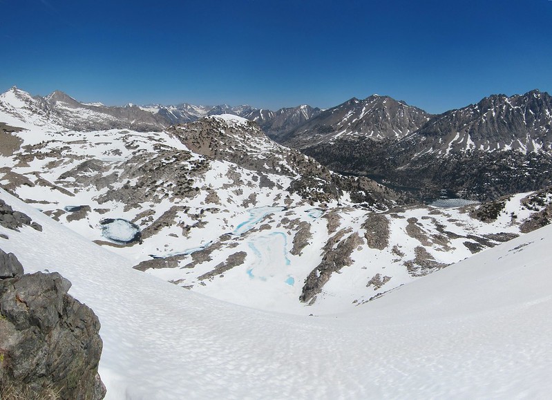
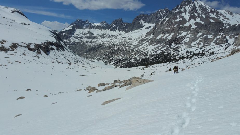
Actually, it's sort of difficult not to look down, but it induced - at least for me - a sort of out-of-body experience. As in, this is super dangerous, you're on a very high exposed snow ridge, how did I get here? Yet if you just mind your business, if you focus on each individual axe placement, each individual step, if you're methodical, careful, deliberate and mindful of proper technique, slowly, ever so slowly, you make your way down. Finally, you're on somewhat level ground, your legs are shaking maybe a little bit - from stress, adrenaline, who knows? At that point, you're free to walk forward over the vast snow fields of the Upper basin.
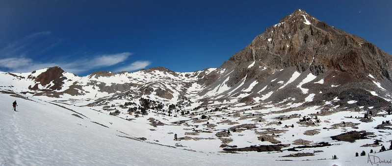
That in itself if a very unique experience - we were all sort of spread out, picking our way & walking across the snow from one small rock island to the next, the entire expanse stretching out far below us. As Andy mentioned, when we started hitting more significant water crossings, David had to take off his boots. Both Lead Dog and I were sort of jonesing to get going & make miles, so after realizing David was going to be doing this on each crossing, we told him we were heading for Lake Marjorie for the night. We then said good-bye, sort of expecting not to see him again, given his pace.