

Being tired but strong is an odd combination. I’m climbing very easily up the trail to Duck Pass (10,800’) from the trailhead, but I’m really tired mentally. The concentration levels have been high and even after ‘relaxing’ in Mammoth for an extra day courtesy of a lost tooth crown I’m not quite there.
Unbelievably I am beginning to tire of my own sparkling company too; nineteen solitary trail days thus far, another ten to go before I fly out to Colorado for the drive to Wyoming and a Wind Rivers High Route.
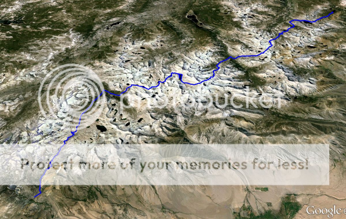
the third segment – fine high country and changing plans


Above Barney Lake a series of switchbacks takes the sting out of a steeper ascent and a group of cheerful woman pass me.

They are definitely heading the right way as I am climbing into dark and stormy possibilities. Again.


The trail traverses the westerly side of Duck Lake, contouring nicely; yet all too soon rain spits and threatens. A small stand of trees at the southern outflow looks like a spot worth getting to as the heavens open (even an atheist can blame celestial bodies).
Hail, then rain, then hail and rain. Bonus.


It drizzles for most of the day and very few pictures are taken during the five miles or so to Lake Virginia….where it is still drizzling. I chat for a while with another SHR hiker who was not a fan of some of the passes he has come across whilst heading in from the direction opposite to mine. Briefly consider dropping down to Tully Hole; but no, I remember it as a mosquito haven from the JMT, so resist.


It is somewhat weird being on the JMT (I’ll be back sooner than I think) and the sheer volume of people camped around the shore is off-putting; some idiot has even lit a fire.


I like people. And I don’t. A super-early start gets me away before anyone else is even moving….apart from a really keen guy I meet coming up from Tully Hole…he can smell breakfast at Reds Meadows so he say’s – wonder if he realises it is miles away? I don’t burst his bubble.


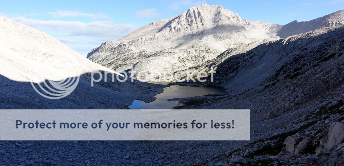
Looking down into Tully Hole.

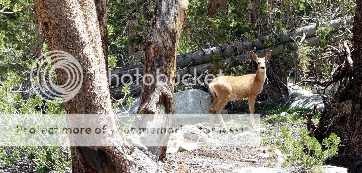
Big ears.


It is warm and wet down here; mists rise and writhe.

Horse Heaven is well-named and there are two animal strings here, one is commercial, the other private. The latter saves me from some very wet miles with advice about the state of the trail, the former furnishes breakfast as I just happen along as the hotcakes, bacon, eggs, and coffee are ready; thanks both!
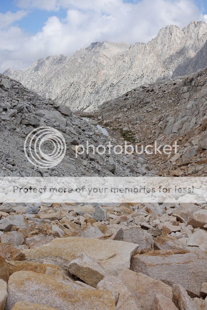
After this I cross the overgrown Fish Creek canyon and forge/force a way through rock benches and woods towards Izaak Walton Lake. This is going to be a very fine few miles.


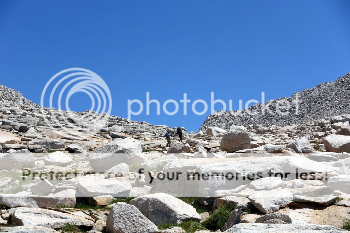
The scenery is simply stunning and the off-trail work is pretty easy although still a little complex navigationally as I take the wrong (well, who would know as there is no ‘right’ way) gully towards Cotton Lake, resulting in a bit of embarrassing ‘lack of’ Class 3 flailing around.
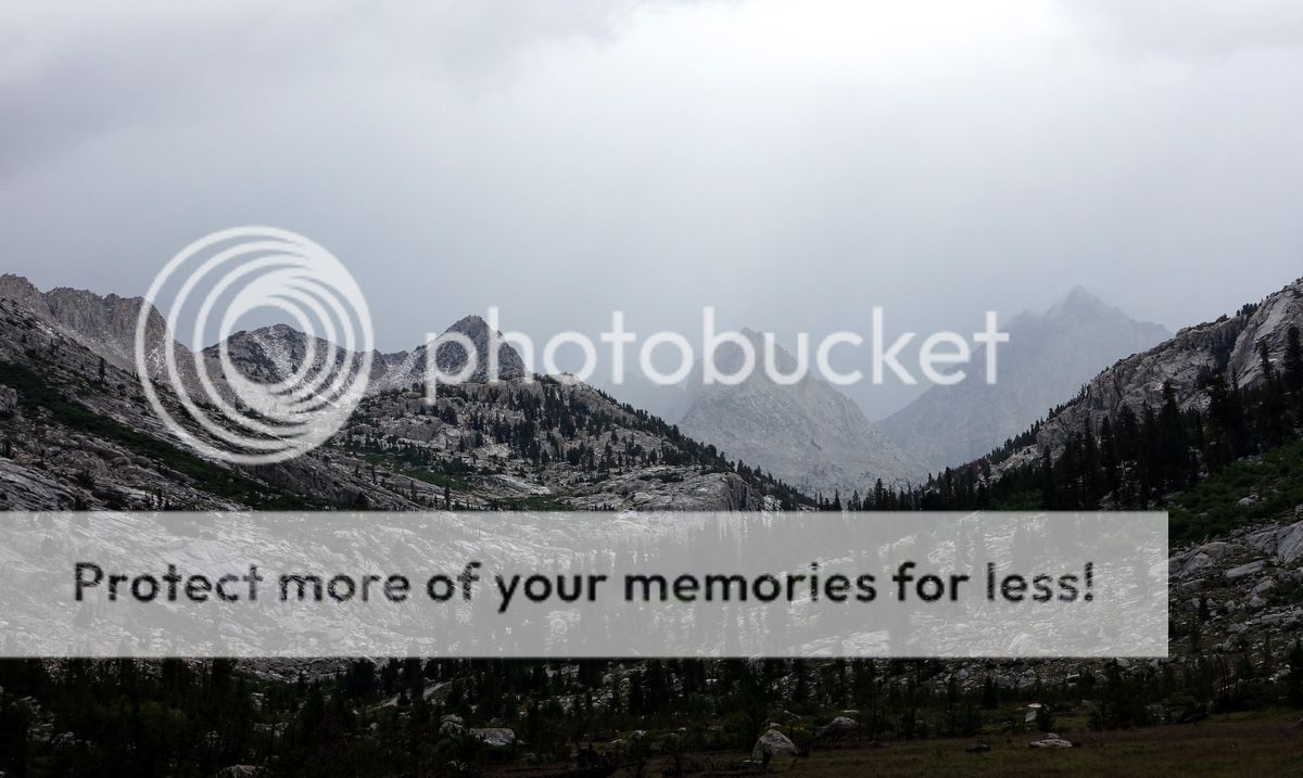
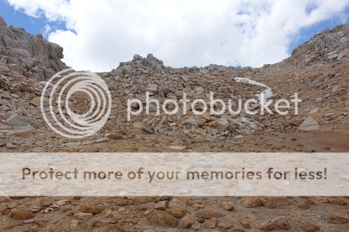
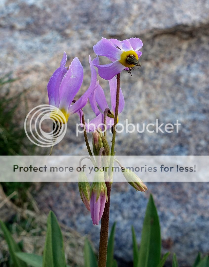
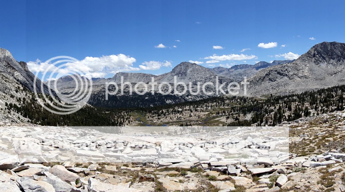
This section leading up to the 11,400’ Shout of Relief Pass remains as one of my favourite of the whole trip, a sublime upland rock meadow studded by small lakes and with occasional trees and flowers counterpointing the slabby surrounds.

Looking toward Shout of Relief Pass.

And back from near the top.


I meet a small group of section-hikers here; one is very opinionated and tells me that I have to go down to Rosy Finch Lake and then climb to the next pass. As that was what they had done; he was most oddly insistent and not very pleasant. Nodding works.


Even had I wanted to drop to the lake I now make damned sure I don’t and traverse easily enough though tiringly to Bighorn Pass. Tiringly as I am hurrying – there are storms looming and I don’t want to be up here if they strike.


I need to be down there, hugging that big rock.

I am magically transported to Laurel Lake – well, a bit of swearing was involved and a very wet rear end.

A few miles down laurel Creek are next on the agenda and I’m fast…but the storms are faster and will now be on and off for the day.


Looking stupidly cheerful in a fetching lime green number.

Mono Creek is big, fast, and deep; a bit scary. There are blowdowns I could use – super-scary. But after casting around for a bit and fighting through some brush I manage to rock hop with just dry feet across the torrent.


Pick up a really good use-trail that spirals me up into cloud, wet foliage and rain.


A veil will be drawn across the next twenty minutes as I am drenched while putting the tent up and collecting water. A complete sense-of-humour bypass ensues where I am so knackered I eat a few handfuls of crisps and lapse into unconsciousness while the wind-driven rains lash the tent all night.
Mr Not Happy.

Goodnight.
And bad morning. It’s not my 14 hours that is for sure – a foul night of rain, followed by drizzling morning fighting through sodden vegetation and getting rather lost and cross. Shame on me. Calm down man.
These slabs are fun if a little steep.

So I can see where I need to be – I’ve climbed out of the Second Recess and need to gain Mills Creek. It is harder than it looks. Cue anger. Add frustration. Repeat. Think.

Once past whatever impediment was making me go awry (a mixture of the aforementioned I suspect) life gets easier.


Fun even – looking towards (but not yet seeing) Gabbot Pass at 12,400’ of elevation.


Talus and rock barriers link a series of lakes towards the pass.


Now we can see the pass…and if we squint we can see a couple of people coming down.


A somewhat tiring runnel of pretty large talus leads up to the pass; slowish going, but OK.


And there we are.
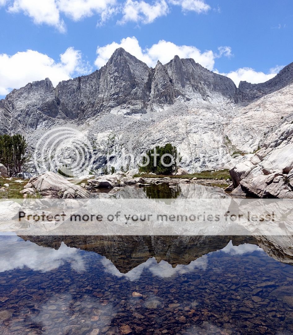
Looking down towards Lake Italy. I like Italy…Italians even.
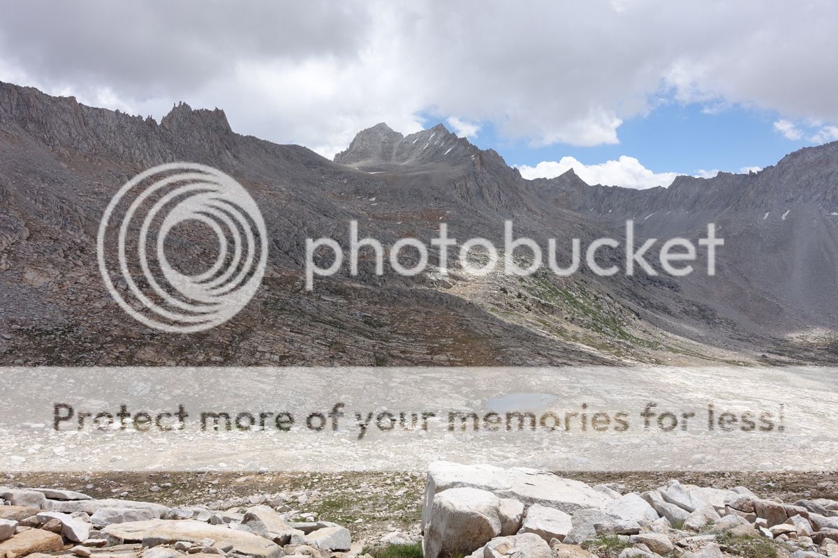

Lake Italy.

I figure I can just get past ‘leave no trace’ with this temporary shoreline monument.

Thankfully this edifice is temporary too.


A farewell to Lake Italy by dropping down the Hilgard Branch to an early campsite to lie on some rocks in the sun, dry everything, and just loll about.


A great spot for the late afternoon and evening.


I’m getting lazy as the trail is sucking the energy from me day-by-day. I’m pretty much decided to take an easier route out of the Sierra for a day or two then come back in and spend ‘mindless’ easy time on established paths. But first, as ever, there are a couple of spectacular passes to be climbed.
The rock wall that sits in front of White Bear Pass looks a bit daunting; in fact it is one of the easiest passes I do on this trip. Good climbing on some fine slabs.


Looking back to Brown Bear Lake and Mount Hilgard.

And then and then….wow – an absolute pristine little lake comes as a complete surprise just below the crest of the pass; perhaps I should look at the map a bit more? This jewel sits at just under 12,000; and might make for a chilly swim. Especially at this hour.


‘Mr Jaunty’ at the pass.


Big Bear Lake.

The area that sits below the pass looks like it might be really popular, although there is no one here on this day. A lot of campsites are evident – not with huge visual impact, but quite numerous. It is a really tranquil spot.
From Bearpaw Lake I can just discern Feather Pass – this too proves to be an easy crossing.


The talus can largely be avoided by sticking to the rock slabs and shoulders at a pretty amenable grade.


Fragile ego rides again…


I meet a great couple of guys just below the pass; we chat for about 40 minutes…perhaps I am getting lonely! One of them appears to have a lot of experience in the Sierra. I think that I am listening with a critical ear or perhaps this is what I want to hear as I’m tired, but Puppet Pass does not get a good write up….and neither do a couple of others as they are compared to Sky Pilot Col…hmmm.
After they depart….
…it is ‘weigh up your options time’. I’m content to let the next section go and drop off the trail via Piute Pass. It is not just that I am not in quite good enough shape – it is the mental side of the constant navigation through the terrain in which I find myself. Which bit of me have I found; seemingly the bit that says ‘have a rest’?
The stretch from here past La Salle and Merriam lakes is really enjoyable, although the drop at the end as I swing into French Canyon is somewhat vertiginous.


To cater for my newly relaxed agenda I drop south rather than head north in French Canyon then pick my way towards Piute Pass on easily graded trails.


All pretty easy going towards Piute Pass, but I’m not going to make it today.


Slowing down and stalling after 17 miles today, 8 off-trail and 9 on-trail; it is enough.

Up very early to pack in the dark as dawn breaks over the Glacier Divide.


A tired and somewhat worse-for-wear me reaching Piute Pass.

And down.


It is a few miles down to the North Lake Trailhead and still too early for many – most of which are heading up rather than my way. Begin to hitch and the first car stops; they are going all the 30 miles to Bishop as one of them packed two left-footed shoes when gearing-up in New York the day before – their bad luck is my good fortune.


Great food (for a change in the trail towns I have hit thus far) at the Sage in Bishop.

…and so it continues.


The rest is a blur for some reason…


