Tour of Tokopah and the Tablelands 9/5/15
Posted: Sat Sep 12, 2015 3:23 pm
Last weekend I took a day trip up to Wolverton, Alta Peak through the Tablelands and down via the Lakes' Trail. The smoke report from the Rough Fire forecasted no problems in the Lodgepole area; they were right, as I only smelt a faint whiff once or twice. But the smoke driving up the 180 was like driving through the valley fog. I started on the trail at 6 sharp and made it to the top of Alta in an embarrassing 3.5 hours. A 20 minute break at the top then I started east along the ridge, dropping down to unnamed lake and climbing back up to overlook Moose Lake. I spent some time here, walking up and down, admiring the sea of granite and the dozens of small lakes and tarns. I decided to head north, not quite sure how far or where, but north. I passed the typical granite slabs and made my way through a series of ponds. I kept north and finally made it to the overlook over Table Meadows and Lake 10,559. Turning back I passed many more lakes before paralleling the Kaweah and following a drainage/use trail west. After looking down on another meadow one ridge east of Pear Lake, I climbed the pass and took another break by the Matterhorn. I dropped down to Pear and after filling up with water started back to the parking lot at 3. A quick jog later and I was at the parking lot at 5. Ice cream at Stony Creek was a welcomed relief before heading back down the hill.
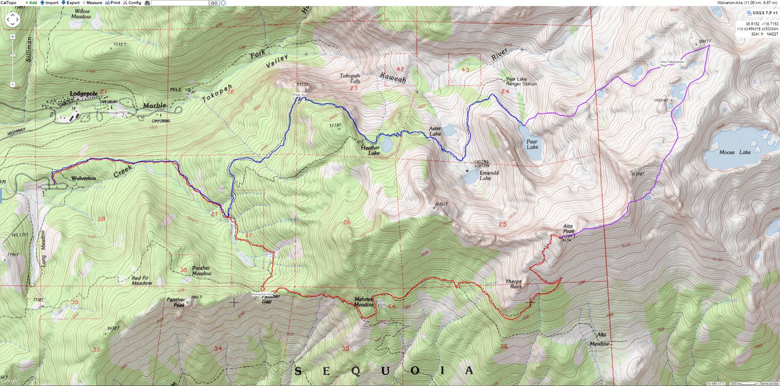 Map
Map
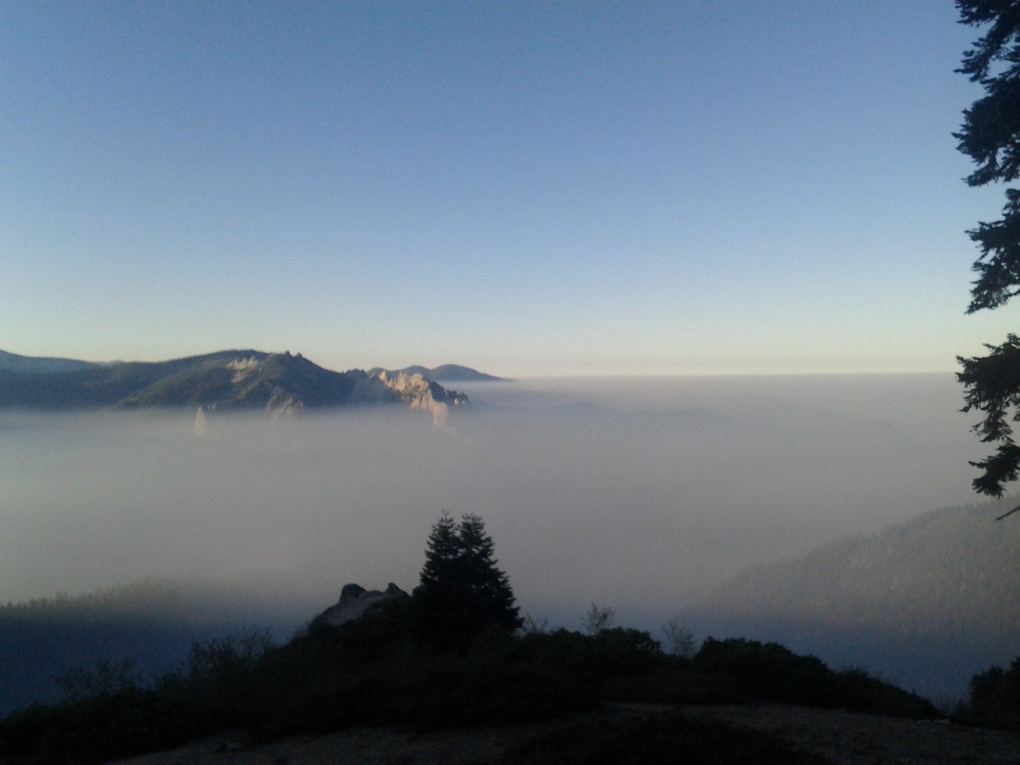 Smoke from Panther Gap
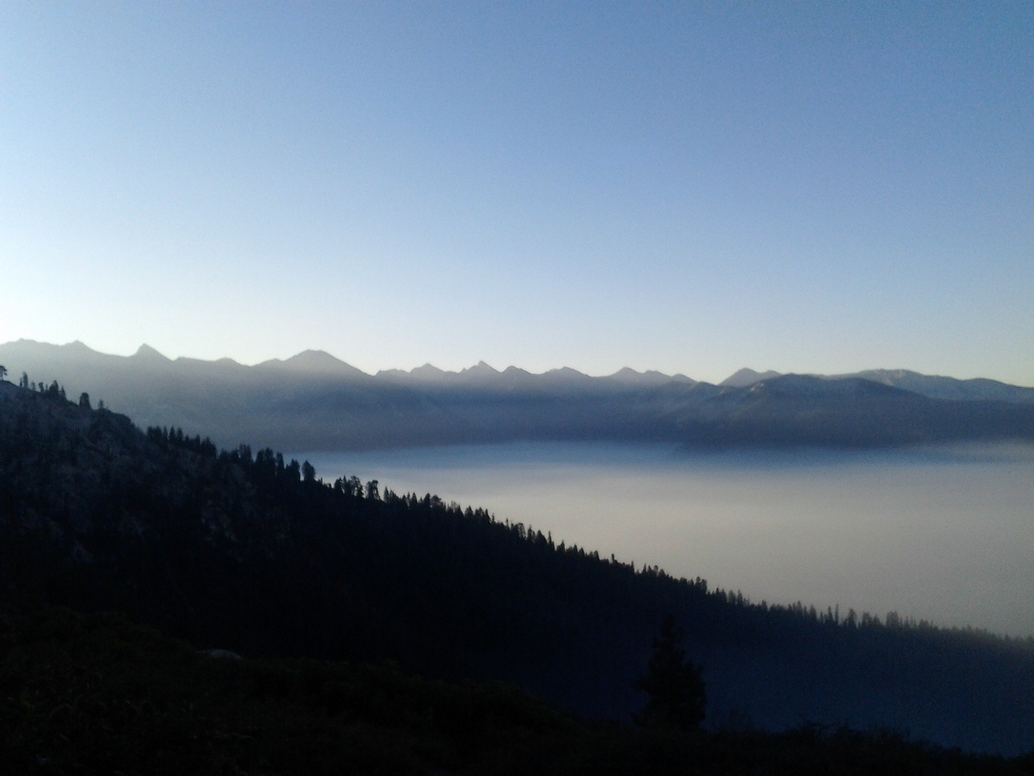 Smoke from Panther Gap
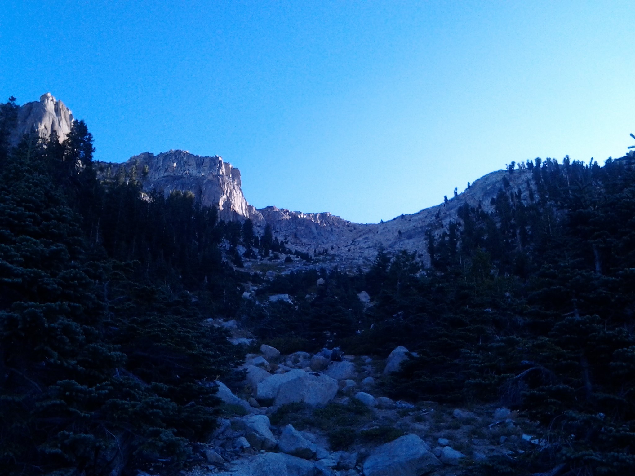 Looking up towards Alta Peak
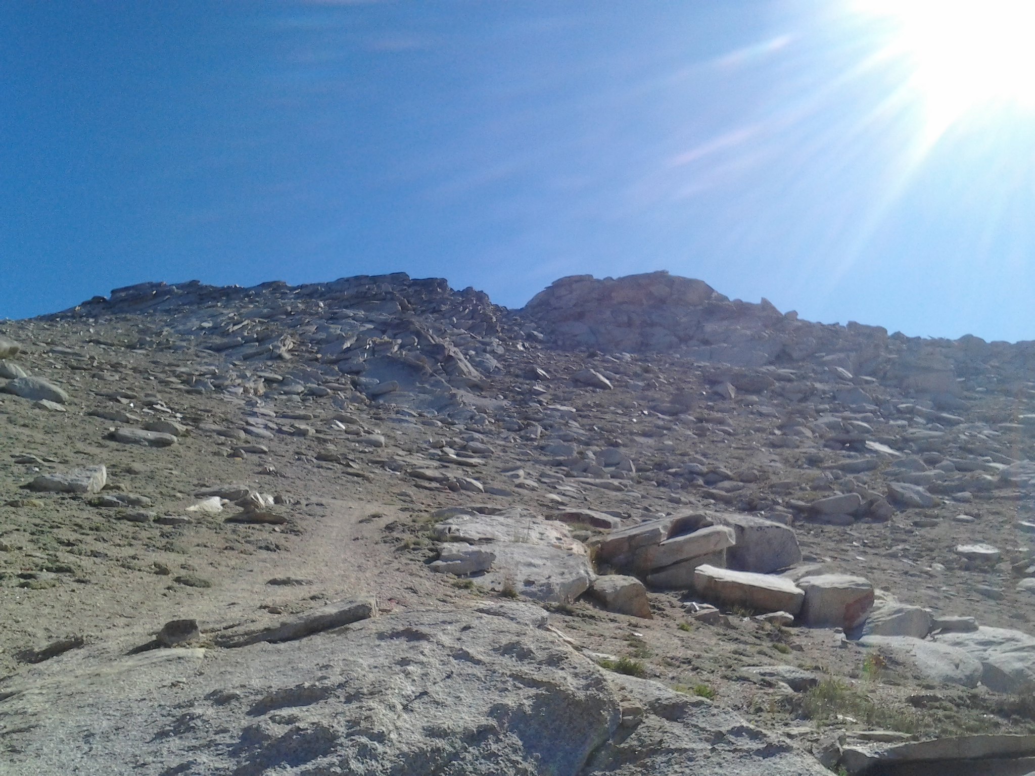 Heading to the Summit
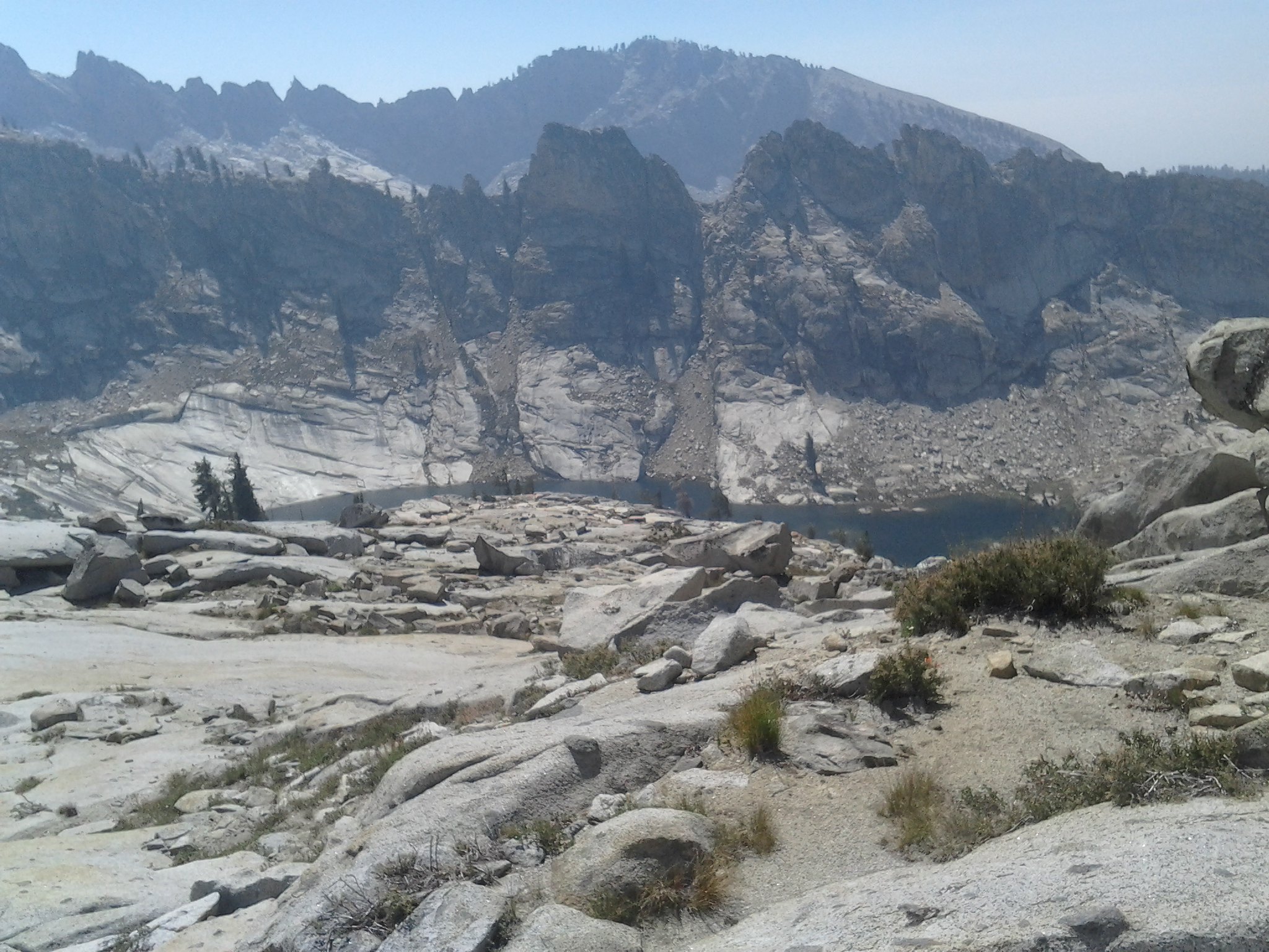
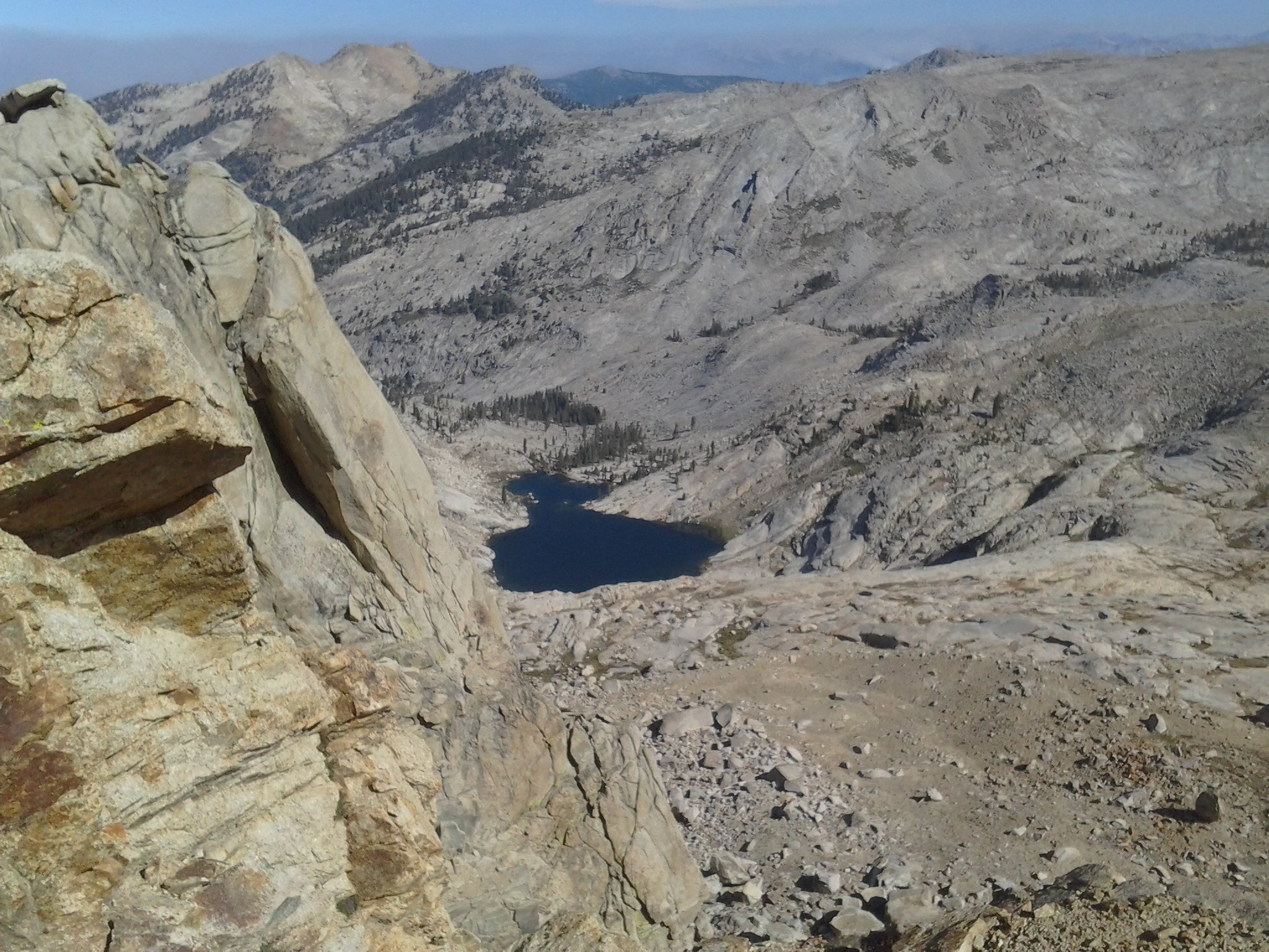 Looking down on Pear Lake
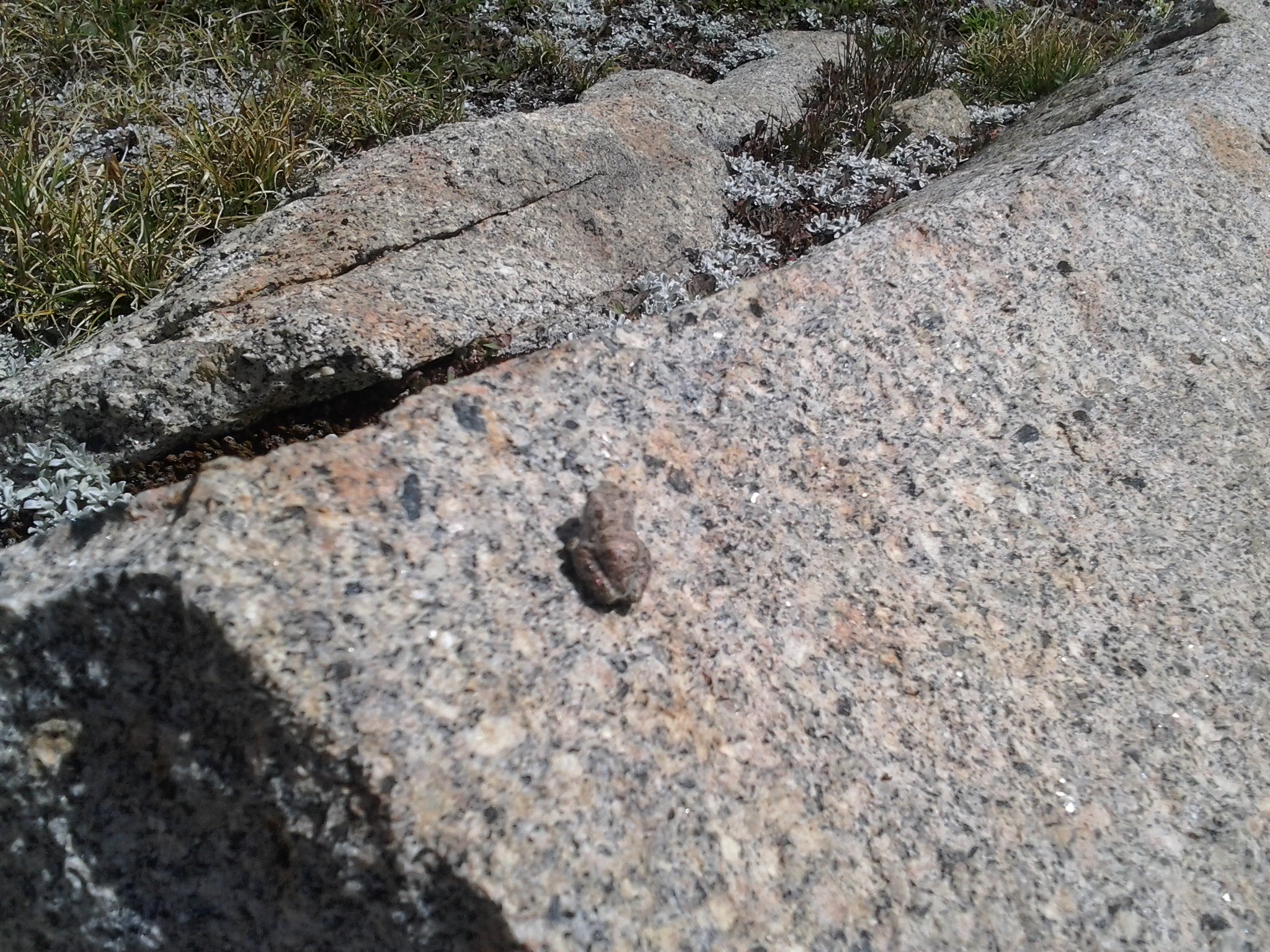 Frogs around Lake ~10,800
 Overlooking Moose Lake
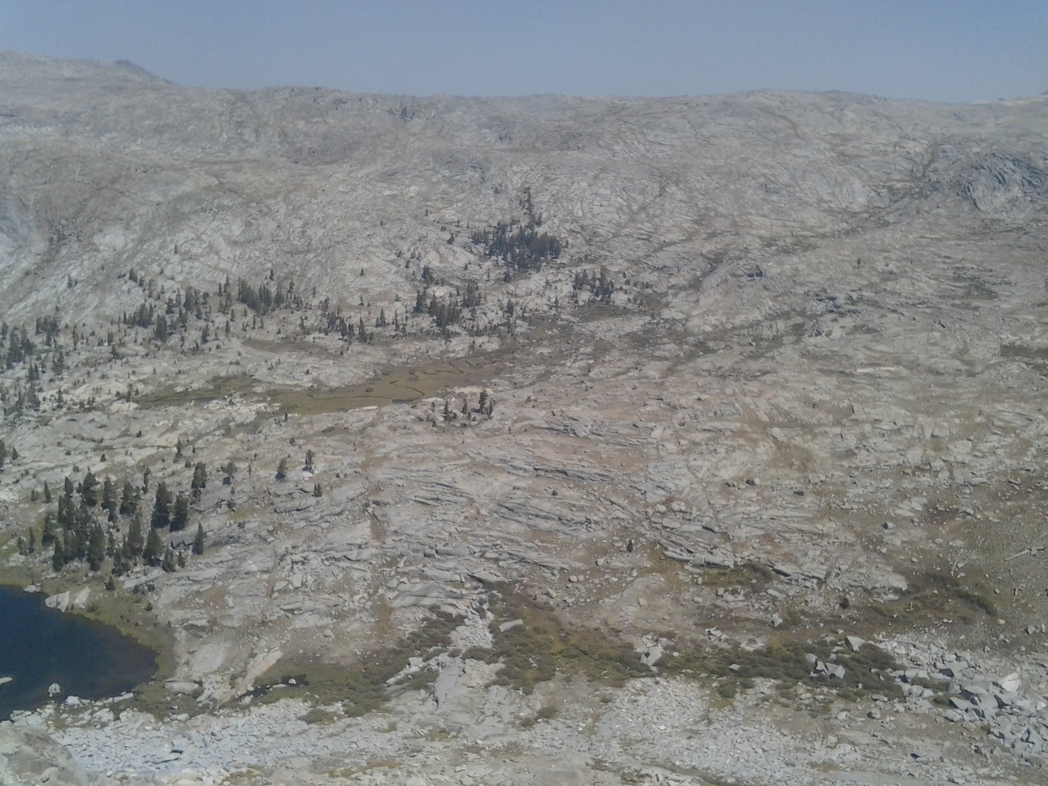
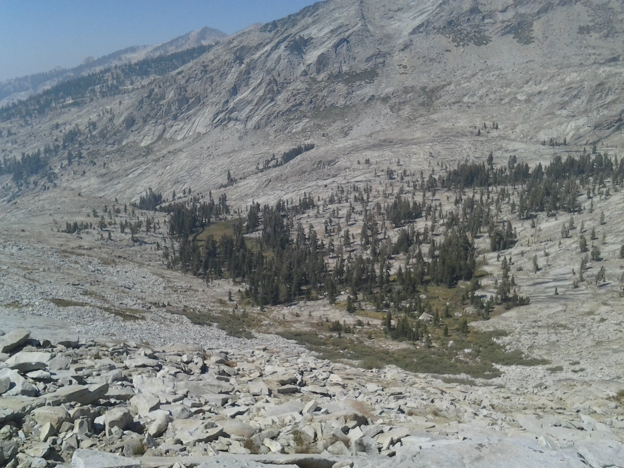
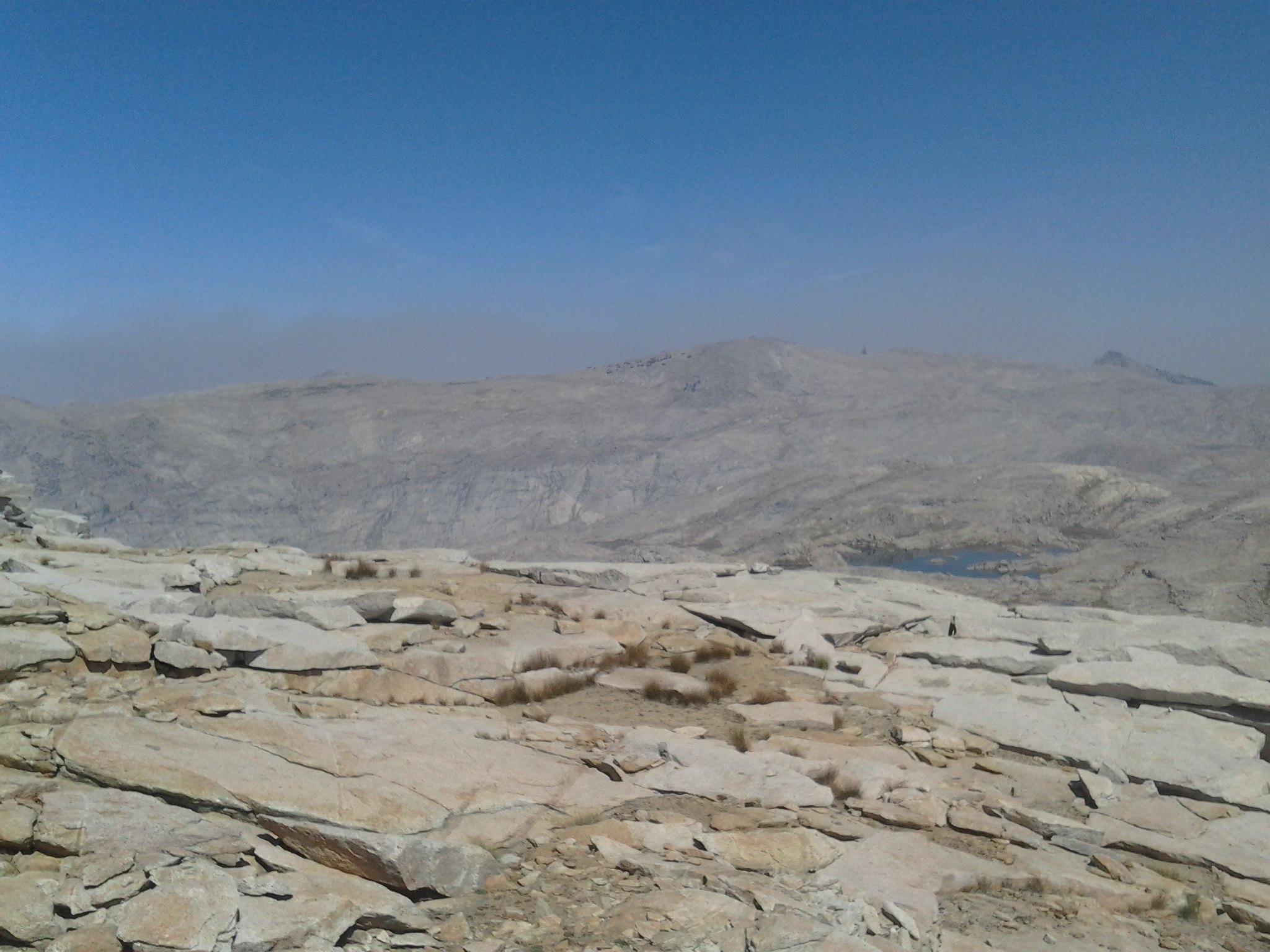 Looking north into the Tablelands
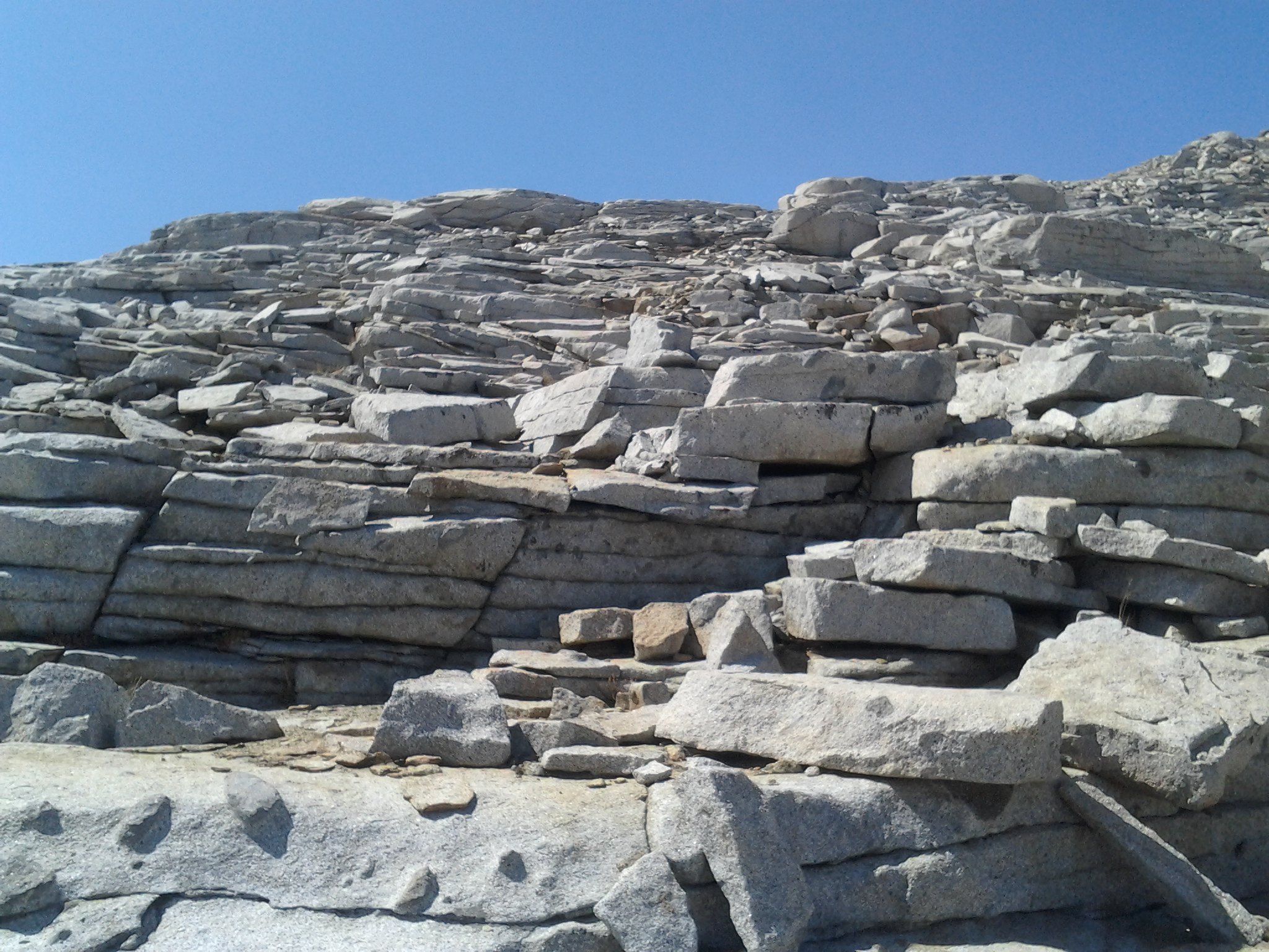 Typical rock formations
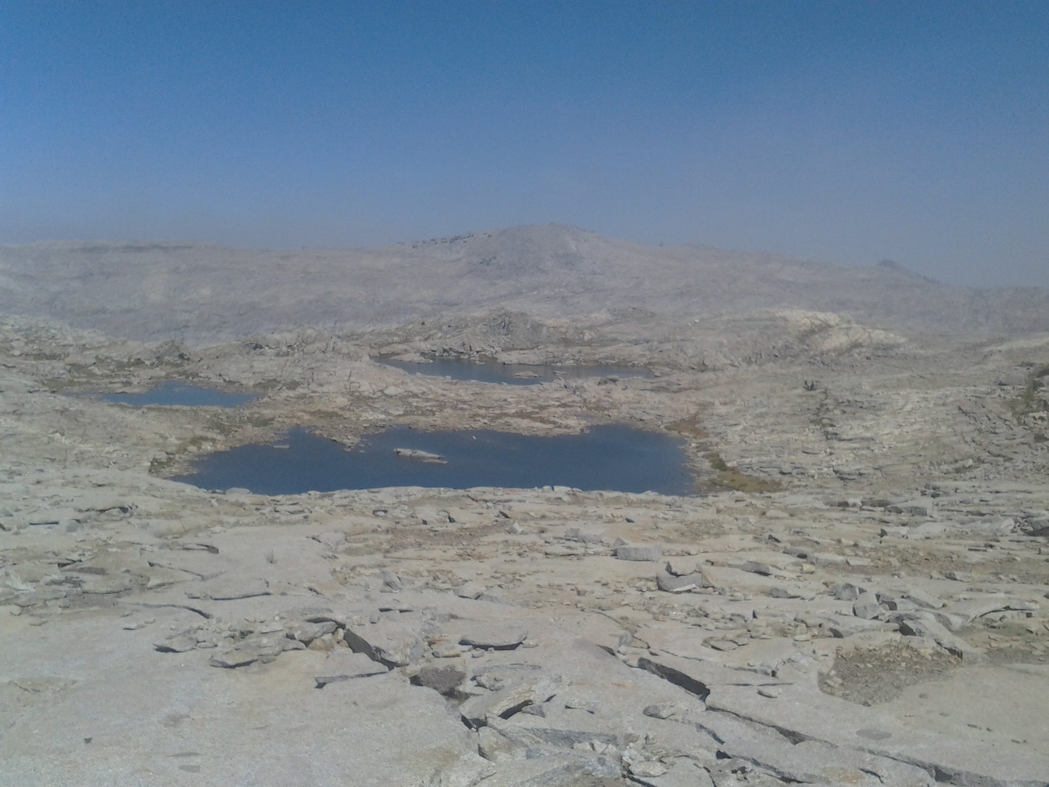
 Overlooking small lakes in tablelands
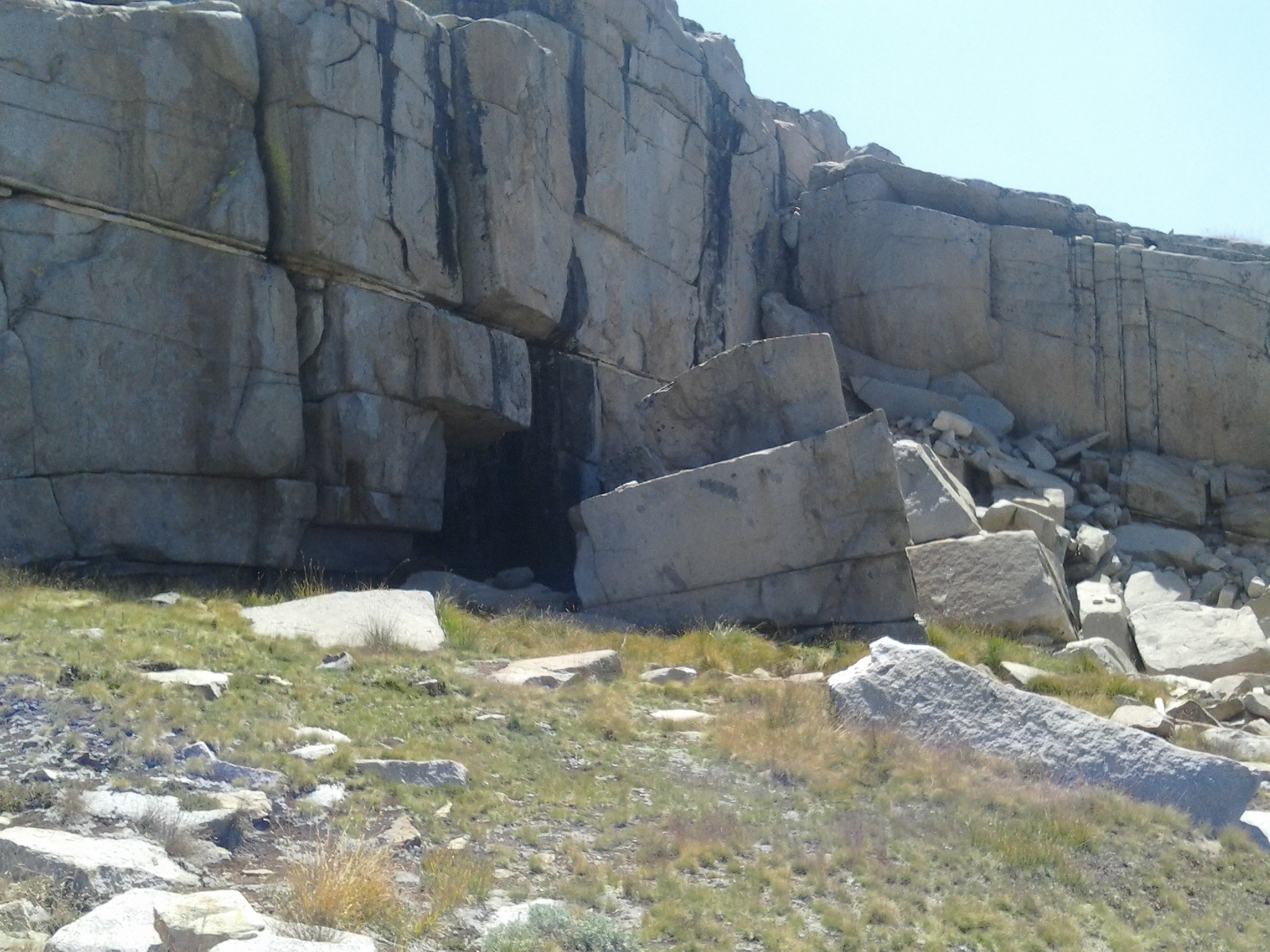
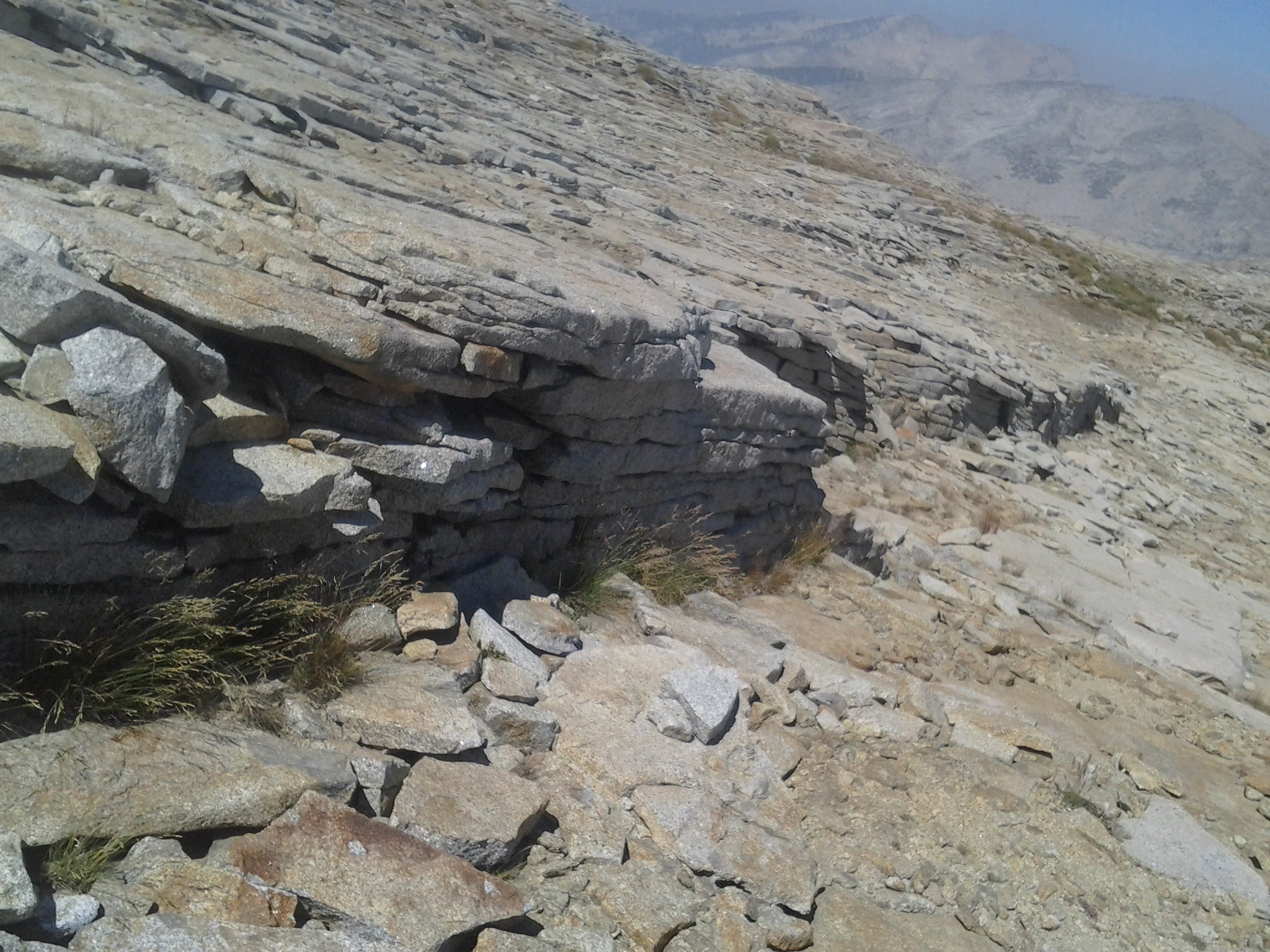 Interesting Rock Wall
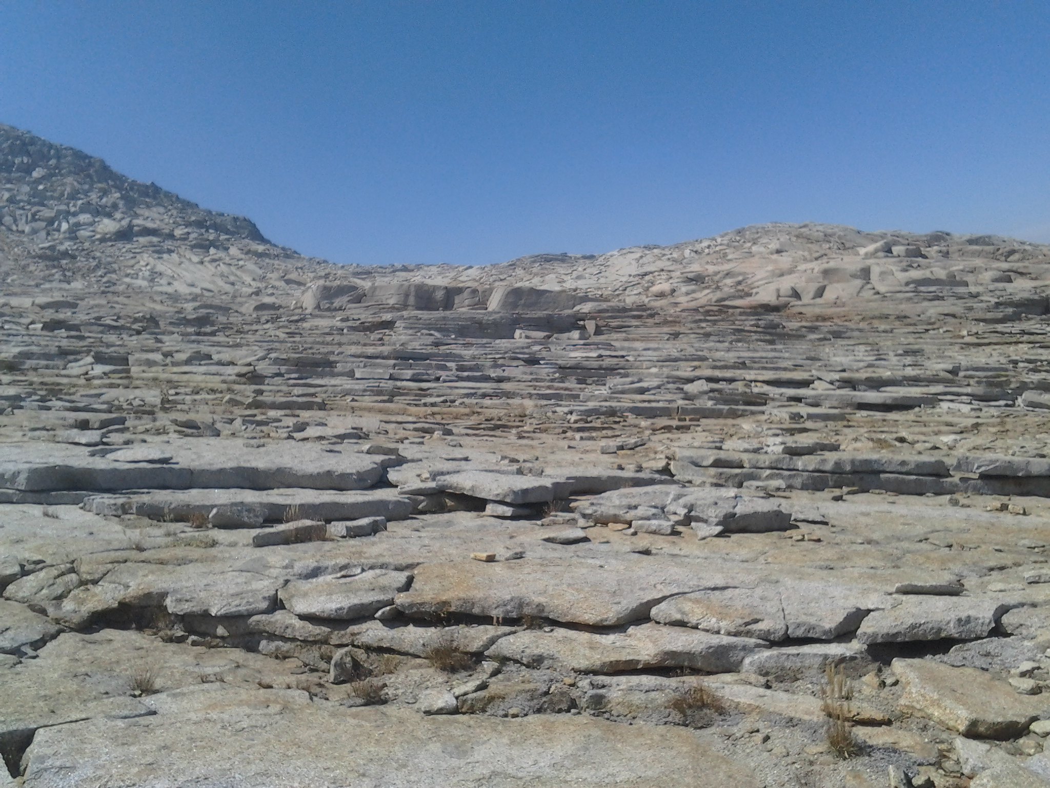 Tableland slabs
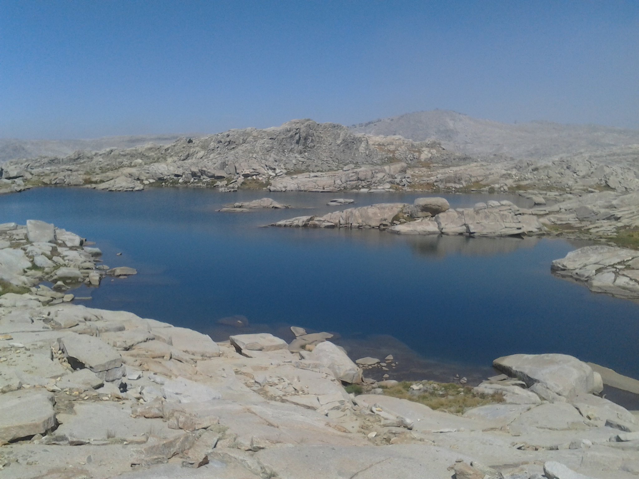
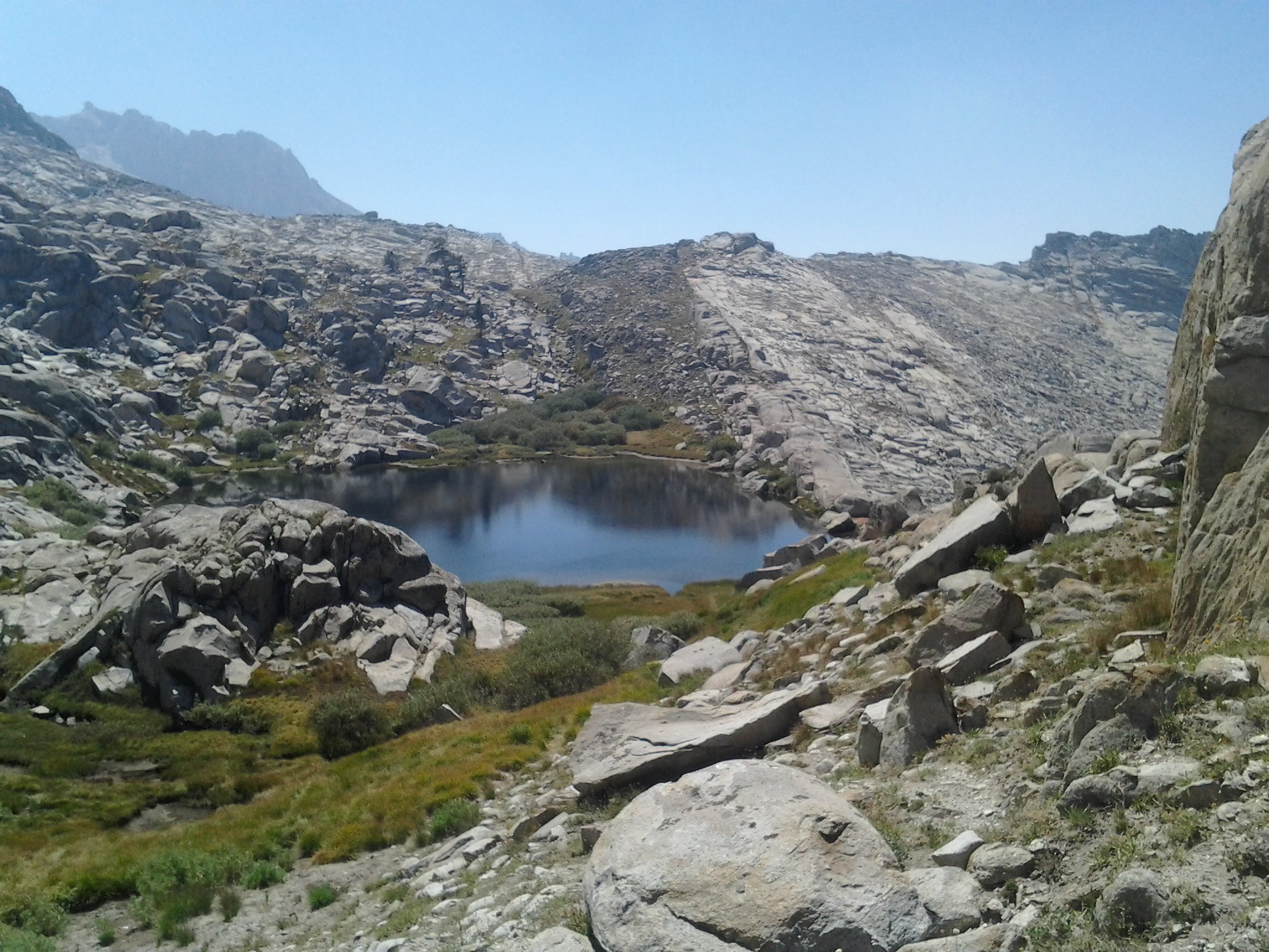
 Overlooking small unnamed lakes
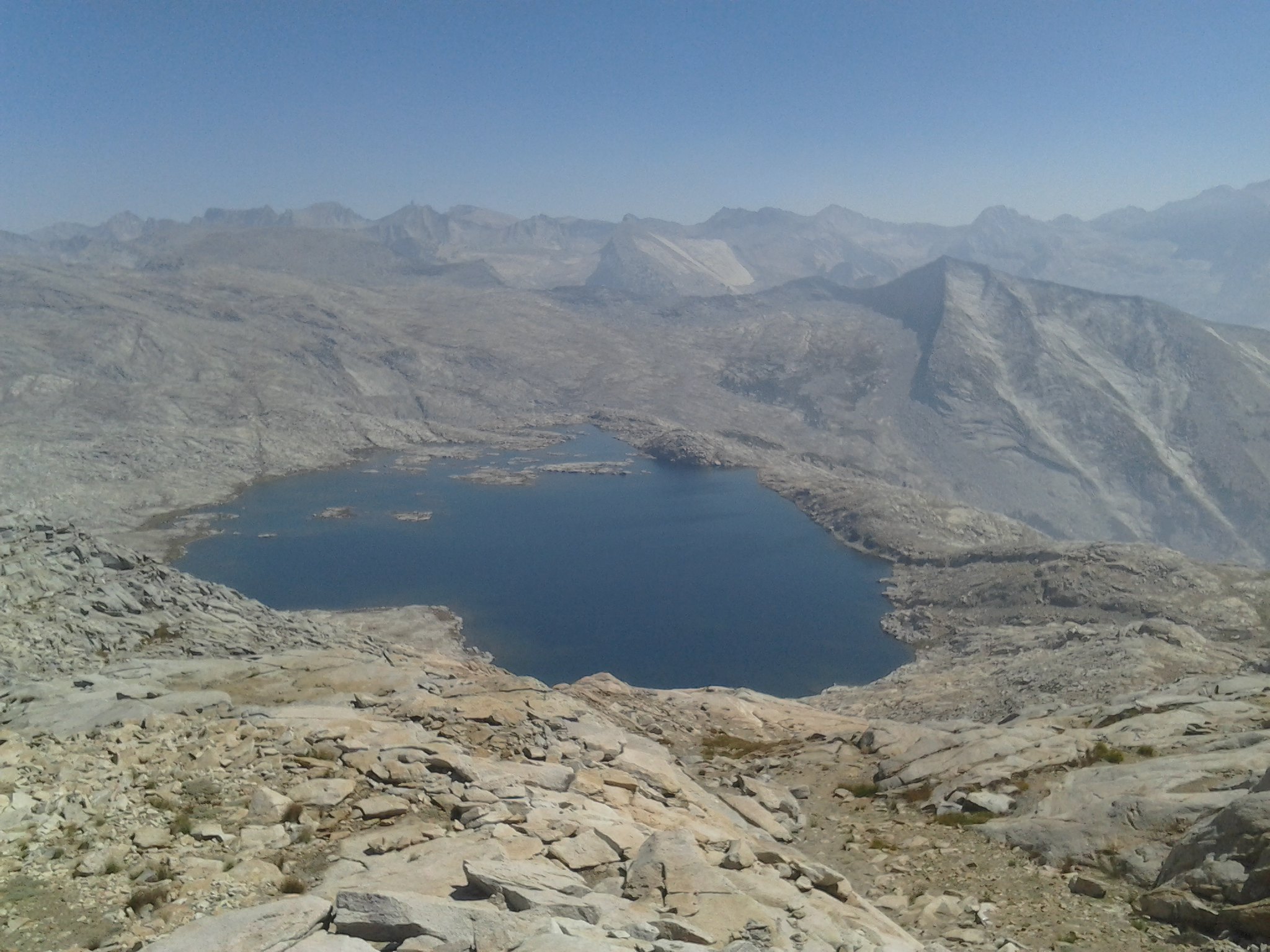
 Largest unnamed lake
 Looks like the rock was spit out
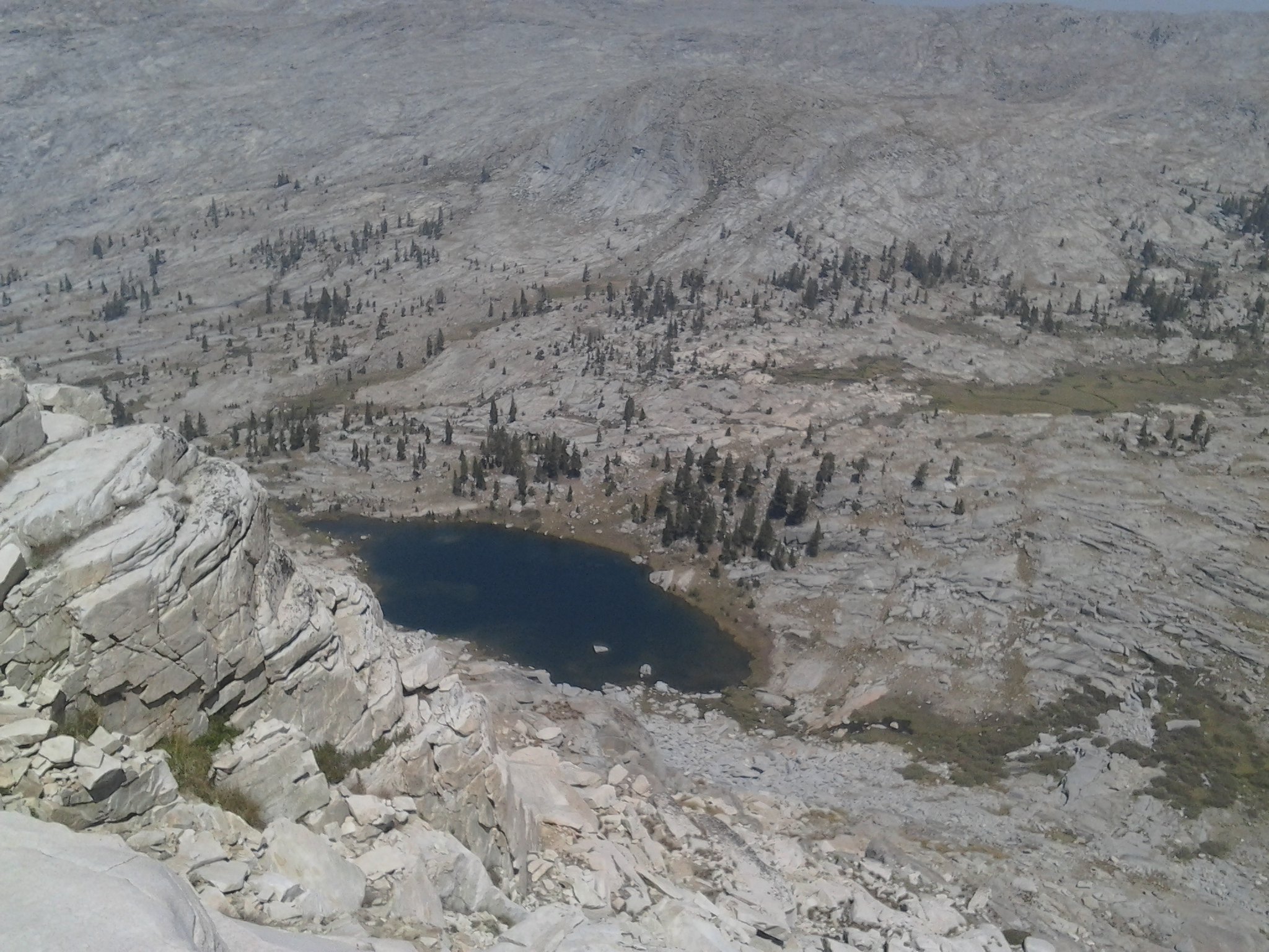 Table Meadows Lake
 Upper Table Meadows
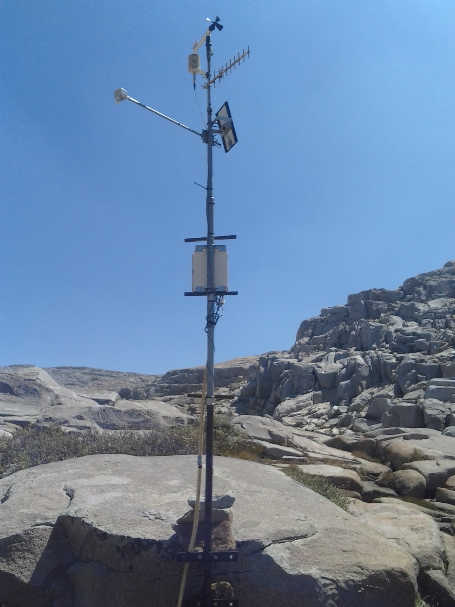 Weather Station
 and another...
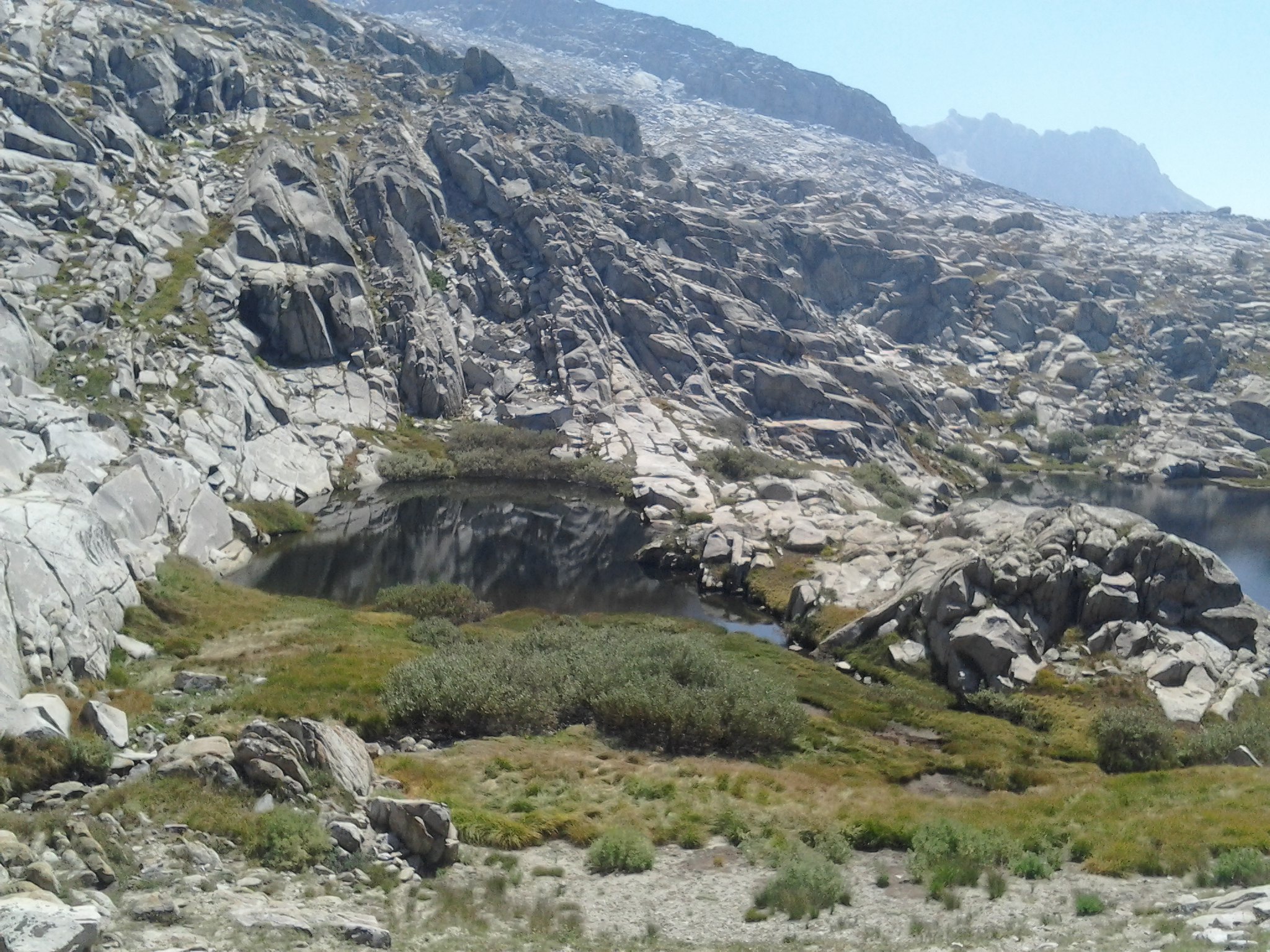 Upper and lower lakes -these actually had fish
 Meadow by Ranger Station
 Above Pear Lake
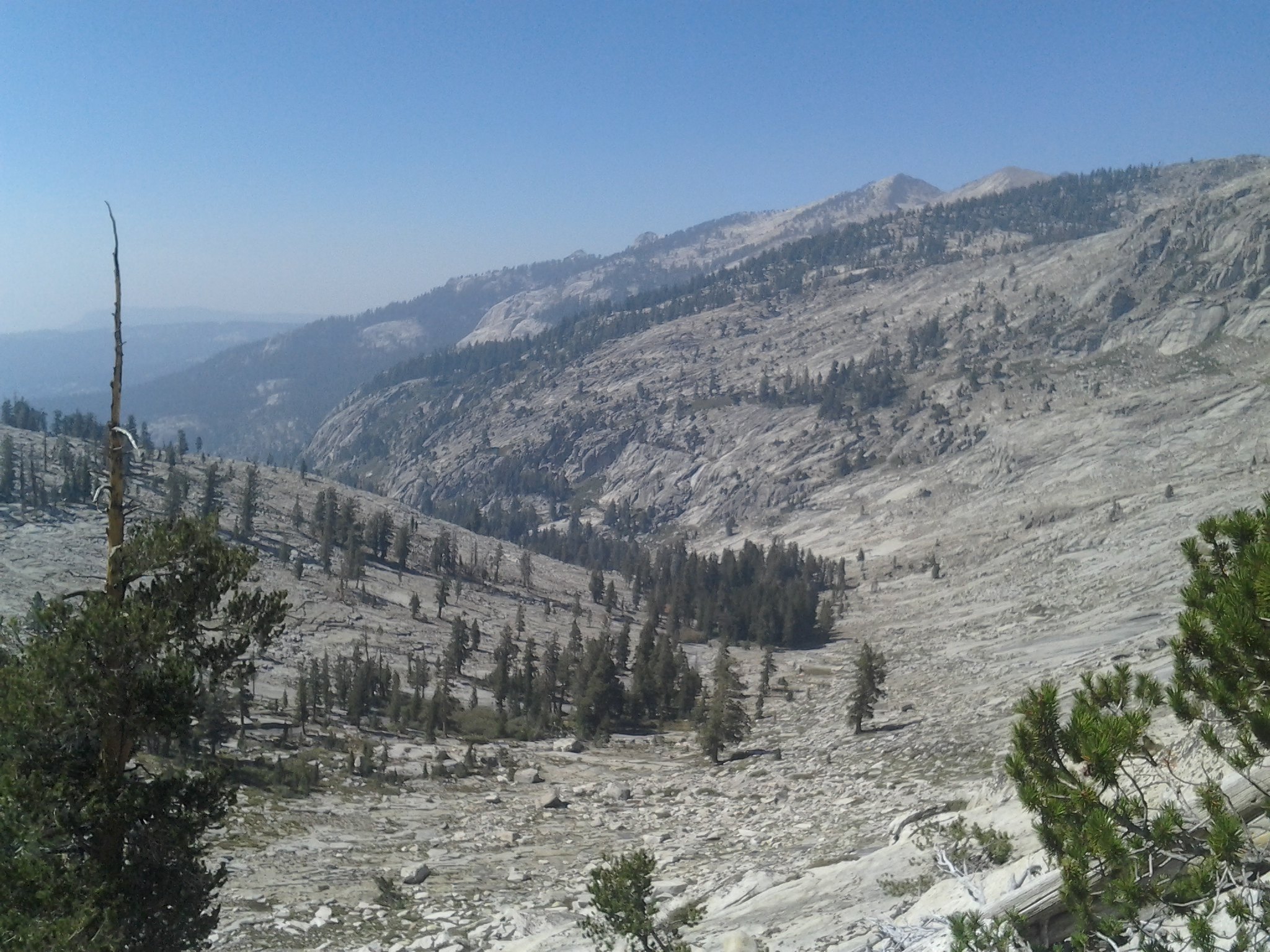 Looking down Tokopah Valley
MapSmoke from Panther GapSmoke from Panther GapLooking up towards Alta PeakHeading to the SummitLooking down on Pear LakeFrogs around Lake ~10,800Overlooking Moose LakeLooking north into the TablelandsTypical rock formationsOverlooking small lakes in tablelandsInteresting Rock WallTableland slabsOverlooking small unnamed lakesLargest unnamed lakeLooks like the rock was spit outTable Meadows LakeUpper Table MeadowsWeather Stationand another...Upper and lower lakes -these actually had fishMeadow by Ranger StationAbove Pear LakeLooking down Tokopah Valley